The best family-friendly hikes and walks around Blaufelden
4.5
(6422)
25,045
hikers
74
hikes
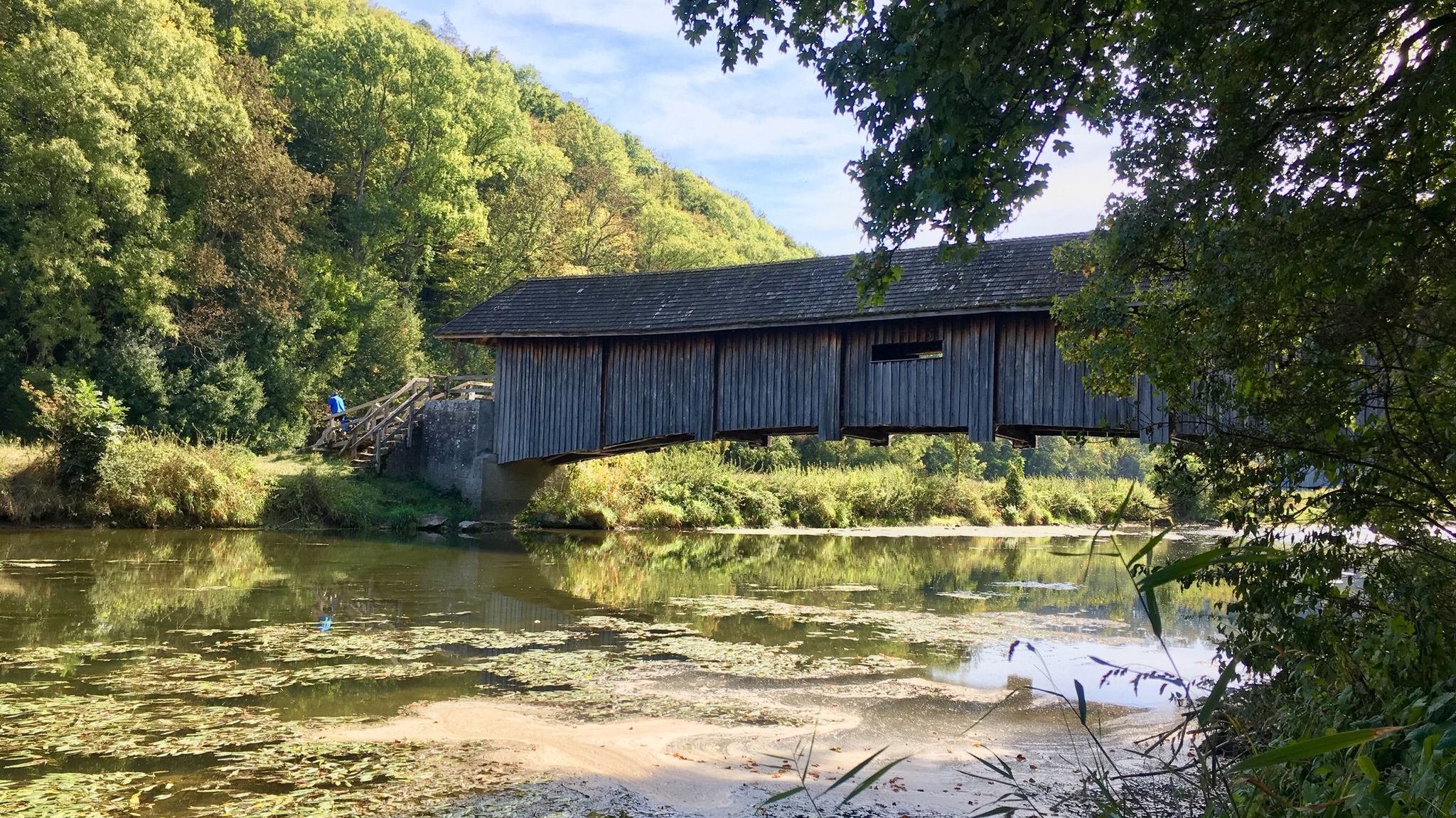
Family friendly hiking trails around Blaufelden are set within the diverse landscapes of the Hohenlohe region, characterized by gentle, rolling hills and picturesque river valleys. The area features mixed forests and quiet brooks, providing a serene environment for outdoor activities. Hikers can explore a varied terrain that includes both gradual ascents and descents, offering scenic views across the countryside. The region also incorporates natural features like the Blaubach Reservoir, adding tranquil waterside paths to the hiking opportunities.
Best family friendly…
Last updated: October 28, 2026
4.3
(32)
70
hikers
12.4km
03:25
210m
210m
Moderate hike. Good fitness required. Easily walkable paths.
4.5
(13)
51
hikers
5.10km
01:22
60m
60m
Easy hike. Easily walkable paths.

4.7
(9)
19
hikers
5.67km
01:29
50m
50m
Easy hike. Easily walkable paths.
3.7
(3)
12
hikers
7.69km
02:05
100m
100m
Moderate hike. Good fitness required. Easily walkable paths.
4.5
(4)
21
hikers
7.61km
02:01
70m
70m
Moderate hike. Good fitness required. Easily walkable paths.
Get access to more routes and recommendations from other explorers.
Already have an account?
Our route recommendations are based on thousands of hikes, rides, and runs completed by other people on komoot.
Start today with a free account
Your next adventure awaits.
Popular around Blaufelden
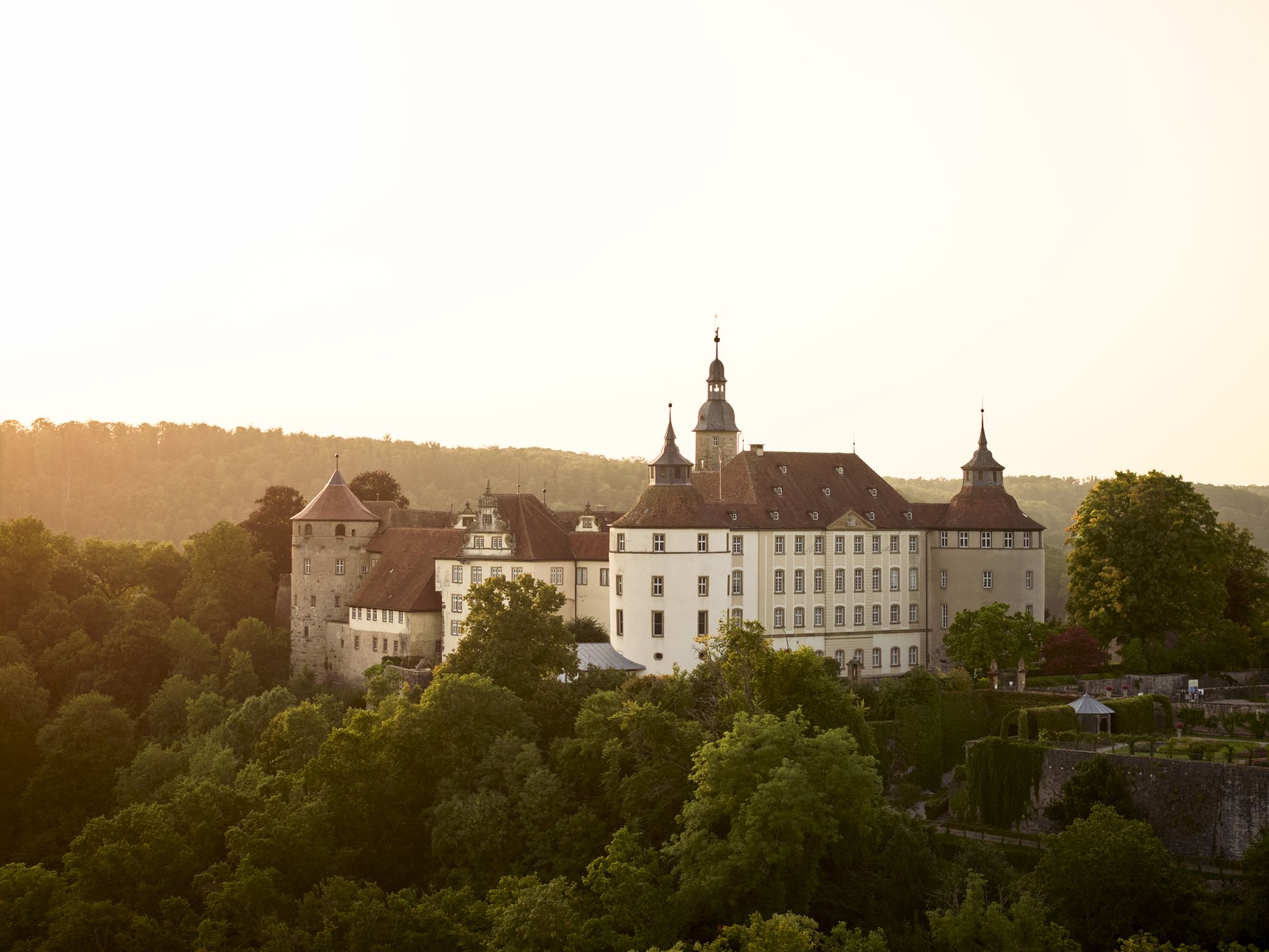
Where castles reign and palaces shine – cycling in the Süden ganz oben
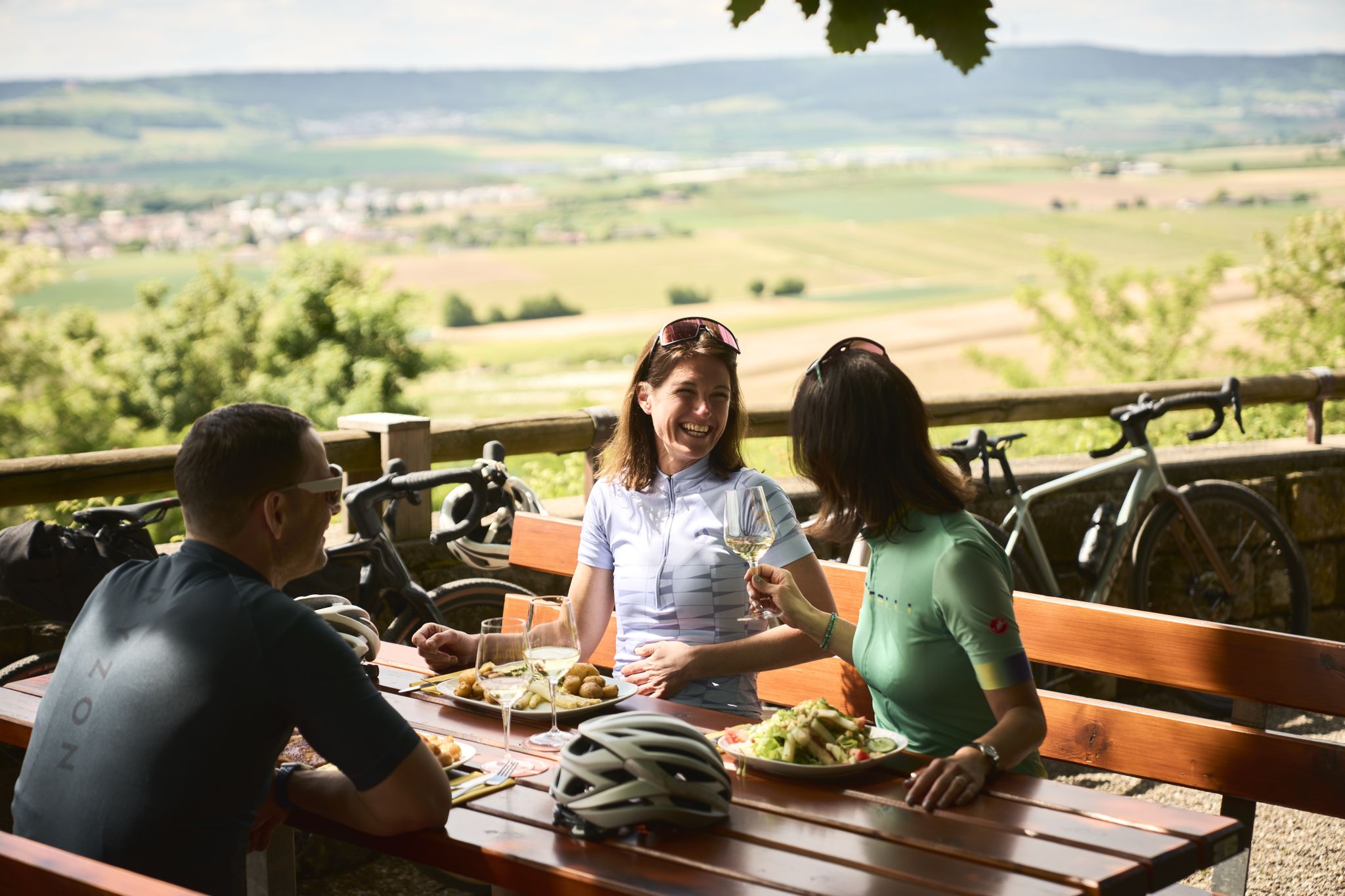
Cycling and local cuisine – pleasure rides in the Süden ganz oben
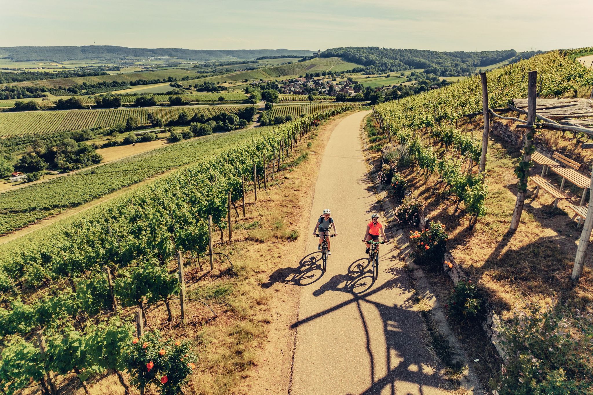
E-bike day Tours along the Tauber, Kocher, Jagst and Neckar rivers
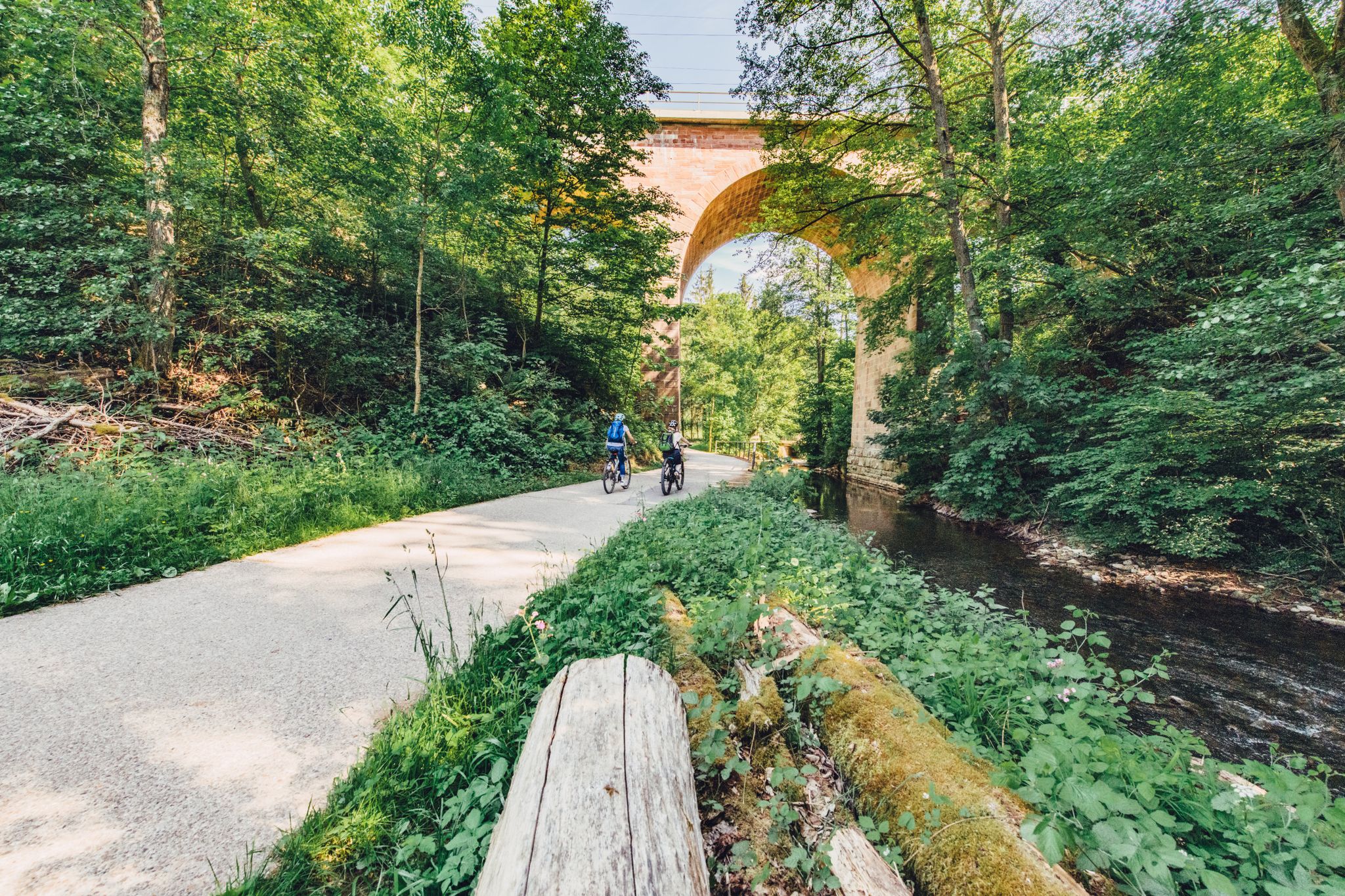
Weekend rides along the Kocher, Jagst and Neckar rivers in Germany
Kocher-Jagst-Trail – Naturerlebnis und Kulturgenuss im Herzen Hohenlohes
Other adventures around Blaufelden


Tips from the Community

As a predecessor to Hertenstein, there was a tower castle in Billingsbach. It stood on a rocky spur on the property of today's residential building at Burgweg 4. This small fortress was soon abandoned in favor of Hertenstein Castle and has completely disappeared. The rocky ground can still be recognized, and the winding, naturally grown course of the Burgweg stands out from the rest of the village's streetscape.
0
0

Long trousers and sturdy shoes are recommended as the hiking trail is overgrown with stinging nettles in places and leads through narrow, overgrown paths.
0
0

This is a great place to cool off when the weather is hot. Bring beach shoes! Great section that is easy to walk on.
0
0
There is a bench to sit on
1
0

Hertenstein Castle, located about 0.9 kilometers south-west of Billingsbach on a ledge, has also been removed. It lay above the so-called Geigersteige, which formed part of an old connection between Künzelsau and the Jagsttal to Schrozberg and Rothenburg. The origin of the castle can probably be dated to the early 13th century based on archaeological finds. However, the builders and early owners of the spur castle are unknown. The first known owner was probably Eberhard von Hertenstein, who acquired goods in Billingsbach from the Teutonic Order in 1318. These lords of Hertenstein are probably identical to the local noble lords of Billingsbach. Hertenstein Castle was last mentioned as a ruin in 1578 on the Schweickherren map of the Langenburg office. Ditches and remains of walls from the two-part complex can still be seen. In 1948 the base of the keep was uncovered.
4
2
You can find relatively little on the web about this castle ruin. The lords of Hertenstein Castle died out at the end of the 14th century. The castle was on a mountain spur and controlled a trade route from Künzelsau to Rothenburg. The castle lay on two plateaus which were probably connected by a wooden bridge. Around the castle was a 3-5m high moat protecting the south and east side. You can still see this very well. From the west and north side protection was provided by the steep mountain. Impressive are the large rocks in the moat, which are hewn very smoothly. Even today, a narrow path leads to the castle, which was suitable for a horse and carriage. One must assume that tolls were levied down in the valley and that this castle and its owners were eliminated relatively early on. On November 28th, the Margrave of Brandenburg (Ansbach) destroyed Herrentierbach and Raboldshausen in the Third Cities War. Hertenstein Castle may have been there at the time. Another possibility is the destruction of the castle in the 1st and 2nd city wars in 1381 and 1441. At that time, the League of Cities destroyed the castles, which were considered robber baron castles. Unfortunately, photos cannot show the elevation profile well. You only get the right impression live. You should have a look at that.
4
2

Frequently Asked Questions
How many family-friendly hiking trails are there around Blaufelden?
Blaufelden offers a wide selection of family-friendly hiking trails, with over 60 routes specifically curated for families. Many of these are rated as easy or moderate, making them suitable for various ages and fitness levels.
Are there any easy, short walks suitable for families with young children or strollers?
Yes, Blaufelden has several easy and relatively short routes perfect for families with young children or strollers. For a pleasant stroll, consider the Blaubachsee – Blaubachsee loop from Burg Flyhöhe, which is just over 5 km and offers tranquil waterside paths. Another great option is the Blaubach Reservoir – Blaubachsee loop from Burg Amlishagen, also around 5 km, providing similar scenic beauty.
What kind of natural landscapes can we expect on family hikes in Blaufelden?
The region around Blaufelden is characterized by gentle, rolling hills, picturesque river valleys, and mixed forests. You'll find serene paths along quiet brooks and tranquil waterside trails, particularly around the Blaubach Reservoir. These diverse landscapes offer a beautiful backdrop for family adventures.
Are there any circular routes suitable for families?
Absolutely. Many of the family-friendly trails around Blaufelden are circular, allowing for a convenient return to your starting point. The Eri Lake – Wolfsgrube (Wolf Pit) loop from Simprechtshausen is an easy circular route of about 5.7 km, perfect for a family outing.
What interesting landmarks or natural features can we see along the trails?
Beyond the scenic landscapes, some routes pass by historical sites. For example, the Rötelbachtal – Rötelbach loop from Burg Hertenstein takes you near the location of Burg Hertenstein. The region also features natural highlights like the Steinbachtal Valley and the Tauber Valley, offering varied points of interest for families to explore.
Is Blaufelden a good destination for hiking with dogs?
Yes, the natural setting of Blaufelden, with its mixed forests and open landscapes, is generally very welcoming for dogs. Many trails offer ample space for dogs to enjoy the outdoors. Always remember to keep your dog on a leash where required and clean up after them to ensure a pleasant experience for everyone.
What do other hikers enjoy most about the family-friendly trails in Blaufelden?
The komoot community highly rates the trails around Blaufelden, with an average score of 4.5 stars. Hikers often praise the well-maintained paths, the peaceful atmosphere of the forests and river valleys, and the accessibility of routes for families. The diverse scenery, from tranquil reservoirs to rolling hills, is also frequently highlighted.
Are there any moderate trails for families looking for a bit more challenge?
For families seeking a slightly longer or more challenging hike, there are moderate options available. The Rötelbachtal – Billingsbacher Lake loop from Abzweigung is a moderate 7.7 km route that offers beautiful views and a bit more elevation gain, providing a rewarding experience for active families.
What is the best time of year for family hiking in Blaufelden?
Spring, summer, and early autumn are generally the most pleasant seasons for family hiking in Blaufelden. Spring brings blooming wildflowers, summer offers lush greenery, and autumn provides stunning foliage. The rolling hills and mixed forests offer natural shade during warmer months, and the trails are typically well-maintained year-round.
Are there options for parking near the trailheads?
Yes, many of the family-friendly hiking trails around Blaufelden have convenient parking options near their starting points. It's advisable to check the specific route details on komoot for information on designated parking areas to plan your trip effectively.
Most popular routes around Blaufelden
Most popular attractions around Blaufelden

Get inspired with the komoot mobile app


Explore more
Browse the best Hikes in other regions.
