The best hikes from bus stations around Geiselwind
4.3
(529)
1,994
hikers
70
hikes
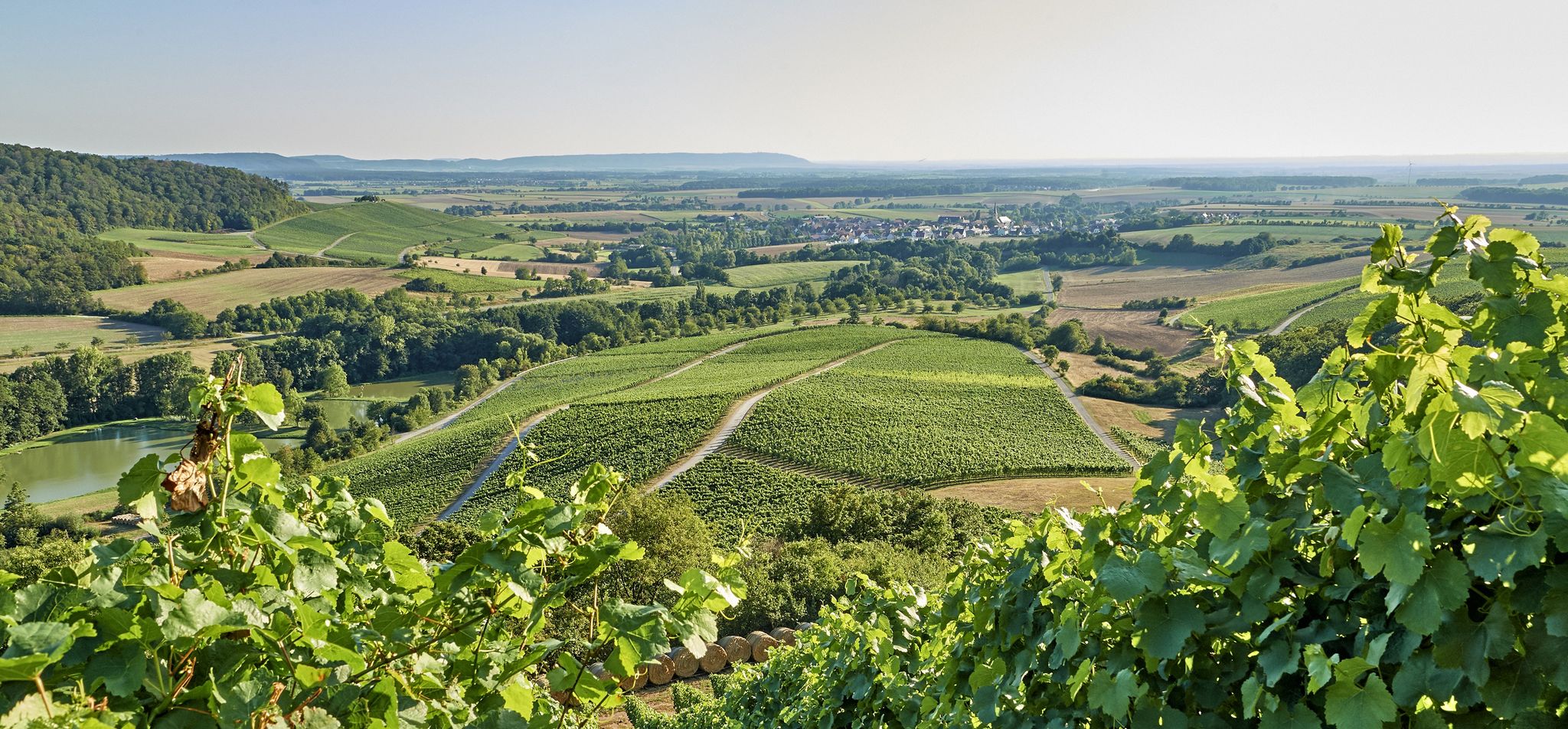
Bus station hiking trails around Geiselwind are situated in a region characterized by rolling hills, extensive woodlands, and vineyards, nestled between the Main River and the Steigerwald forest. The area features a varied topography with diverse natural features, including the Steigerwald Nature Park. This landscape provides a range of scenic routes for hikers.
Best bus station hiking trails around Geiselwind
- The most popular bus station hiking route is Ebersbrunn Village – Glösberg Viewpoint loop from Freizeit-Land Geiselwind, a 5.0…
Last updated: September 30, 2026
4.7
(91)
304
hikers
Moderate hike. Good fitness required. Easily-accessible paths. Suitable for all skill levels.
4.8
(92)
288
hikers
6.84km
01:56
140m
140m
Easy hike. Great for any fitness level. Easily-accessible paths. Suitable for all skill levels.

4.7
(20)
78
hikers
Moderate hike. Good fitness required. Easily-accessible paths. Suitable for all skill levels.
4.8
(19)
75
hikers
Moderate hike. Good fitness required. Easily-accessible paths. Suitable for all skill levels.
5.0
(11)
28
hikers
8.37km
02:21
170m
170m
Moderate hike. Good fitness required. Easily-accessible paths. Suitable for all skill levels.
Get access to more routes and recommendations from other explorers.
Already have an account?
Our route recommendations are based on thousands of hikes, rides, and runs completed by other people on komoot.
Start today with a free account
Your next adventure awaits.
Popular around Geiselwind
Other adventures around Geiselwind

Tips from the Community


Here once stood the Carthusian monastery Ilmbach, founded in the 15th century, which was destroyed in 1525 during the Peasants' War and later secularized.
1
0

A parking area in a natural setting, from which you can directly access the Geiselwind Dream Loop hiking trail. A small picnic area is also available.
0
0
The church of Ebersbrunn
0
0
Spring basin in Ebersbrunn
0
0
Great atmosphere between the dunes
0
0
Frequently Asked Questions
How many hiking trails are accessible from bus stations around Geiselwind?
There are over 60 hiking trails around Geiselwind that are easily accessible from bus stations. These routes offer a variety of experiences, from leisurely strolls through vineyards to more challenging ascents in the Steigerwald.
What kind of terrain can I expect on bus-accessible hikes in Geiselwind?
The region around Geiselwind, nestled between the Main River and the Steigerwald forest, features diverse terrain. You'll encounter rolling hills, extensive woodlands (including beech and oak forests), and picturesque vineyards. Some paths also wind through sandstone canyons, offering varied landscapes for your hike.
Are there easy hiking trails accessible by bus in Geiselwind?
Yes, approximately half of the bus-accessible routes in Geiselwind are rated as easy. These trails are perfect for a relaxed outing. An example is the View from Glösberg – Ebersbrunn Village loop from Ebersbrunn, which offers scenic views without significant difficulty.
Can I find moderate or challenging bus-accessible hikes in Geiselwind?
Absolutely. The majority of routes are moderate, with a few challenging options for experienced hikers. Moderate trails often explore the hilly terrain of the Steigerwald, providing good exercise and rewarding views. For instance, the Ebersbrunn Village – Glösberg Viewpoint loop from Freizeit-Land Geiselwind is a popular moderate option.
Are there circular hiking routes starting from bus stations in Geiselwind?
Many of the trails accessible from bus stations in Geiselwind are circular routes, allowing you to start and end your hike at the same point without needing to arrange return transport. The Ebersbrunn Village – Old Three-Franconia Boundary Stone loop from Geiselwind is a great example of a circular route.
What natural features or viewpoints can I discover on bus-accessible hikes in Geiselwind?
Hikes in Geiselwind offer numerous natural highlights and viewpoints. You can enjoy panoramic views from places like Glösberg, explore the diverse forests of the Steigerwald Nature Park, or walk through charming vineyards. The region also features several beautiful lakes, such as Tränksee, which can be found near some routes.
Are there any historical landmarks or points of interest along these bus station trails?
Yes, you can encounter several interesting landmarks. The Dreifrankenstein Monument, marking the historical border of three Franconian regions, is a notable point of interest. You might also come across historical structures like the Stollburg Ruins or the Speckfeld Castle — Tower Ruin, adding a cultural dimension to your outdoor adventure.
Are the bus-accessible hiking trails in Geiselwind suitable for families?
Many of the easy and moderate trails are suitable for families, offering manageable distances and varied scenery to keep younger hikers engaged. Look for routes that pass through forests or offer interesting viewpoints. The 'TraumRunde Geiselwind' is specifically designed as an easy, family-friendly option.
What is the best time of year to hike around Geiselwind using public transport?
Spring and summer are particularly beautiful for hiking in Geiselwind, especially when the vineyards are lush and the forests are vibrant. The region's diverse landscapes are enjoyable throughout the warmer months, offering pleasant conditions for exploring the trails accessible by bus.
What do other hikers enjoy the most about hiking in Geiselwind?
The area is highly rated by the komoot community, with an average score of 4.37 stars. Reviewers often praise the quiet woodlands, the diverse landscapes ranging from vineyards to rolling hills, and the well-maintained paths that make for an enjoyable hiking experience.
Are there any long-distance hiking opportunities accessible from Geiselwind's bus stations?
Yes, Geiselwind is part of the approximately 200 km long-distance Celtic Adventure Route, which follows the footsteps of the Celts through Franconia. While individual stages can be accessed, this route offers a more extensive challenge for those looking for multi-day hiking experiences.
Most popular routes around Geiselwind
Most popular attractions around Geiselwind

Get inspired with the komoot mobile app


Explore more
Browse the best Hikes in other regions.
