The best dog-friendly hikes and walks around Irdning-Donnersbachtal
4.5
(1683)
9,043
hikers
16
hikes
Dog friendly hiking trails around Irdning-Donnersbachtal traverse a diverse landscape characterized by prominent mountains, serene lakes, and deep gorges. The region is situated at the foot of the Grimming Massif, offering a dramatic backdrop to many routes. Hikers will encounter alpine environments, including mountain lakes like Plannersee, and natural features such as the Donnersbachklamm. This area provides a range of trails suitable for various fitness levels, from reservoir walks to mountain ascents.
Best dog friendly hiking trails around Irdning-Donnersbachtal
- The most popular dog friendly hiking route is Plannersee – Plannerknot loop from Köberlkapelle, a 4.7 miles (7.6 km) trail that takes 3 hours 5 minutes to complete. This moderate route offers views of Plannersee and the surrounding alpine scenery.
- Another top favourite among local hikers is Plannersee – Plannerknot loop from Planneralm Rotbühellift, a moderate 5.4 miles (8.6 km) path. This trail features varied terrain with significant elevation gain, leading through the Planneralm area.
- Local hikers also love the Plannerknot – Plannersee loop from Köberlkapelle, a 4.3 miles (6.9 km) trail leading through the high alpine landscape near Plannersee, often completed in about 3 hours 4 minutes.
- Hiking around Irdning-Donnersbachtal is defined by mountain peaks, alpine lakes, and forested valleys, with options ranging from moderate loops to more challenging ascents. The network offers options for different ability levels.
- The routes in Irdning-Donnersbachtal are highly rated by the komoot community with an average score of 4.5 stars from more than 1400 reviews. More than 8000 hikers have used komoot to explore Irdning-Donnersbachtal's varied terrain.
Last updated: August 20, 2026
4.8
(60)
255
hikers
7.56km
03:04
420m
420m
Moderate hike. Good fitness required. Mostly accessible paths. Sure-footedness required.
5.0
(19)
89
hikers
8.64km
03:59
580m
570m
Moderate hike. Good fitness required. Mostly accessible paths. Sure-footedness required.

Sign up for free
4.9
(20)
93
hikers
6.87km
03:04
480m
480m
Moderate hike. Good fitness required. Mostly accessible paths. Sure-footedness required.
4.9
(20)
88
hikers
4.79km
01:54
290m
300m
Moderate hike. Great for any fitness level. Mostly accessible paths. Sure-footedness required.
4.8
(16)
85
hikers
5.23km
01:49
220m
220m
Moderate hike. Great for any fitness level. Mostly accessible paths. Sure-footedness required.
Get access to more routes and recommendations from other explorers.
Sign up for free
Already have an account?
Our route recommendations are based on thousands of hikes, rides, and runs completed by other people on komoot.
Start today with a free account
Your next adventure awaits.
Login or Signup
Popular around Irdning-Donnersbachtal

Central Alps Trail Eastern Section – Discover Austria
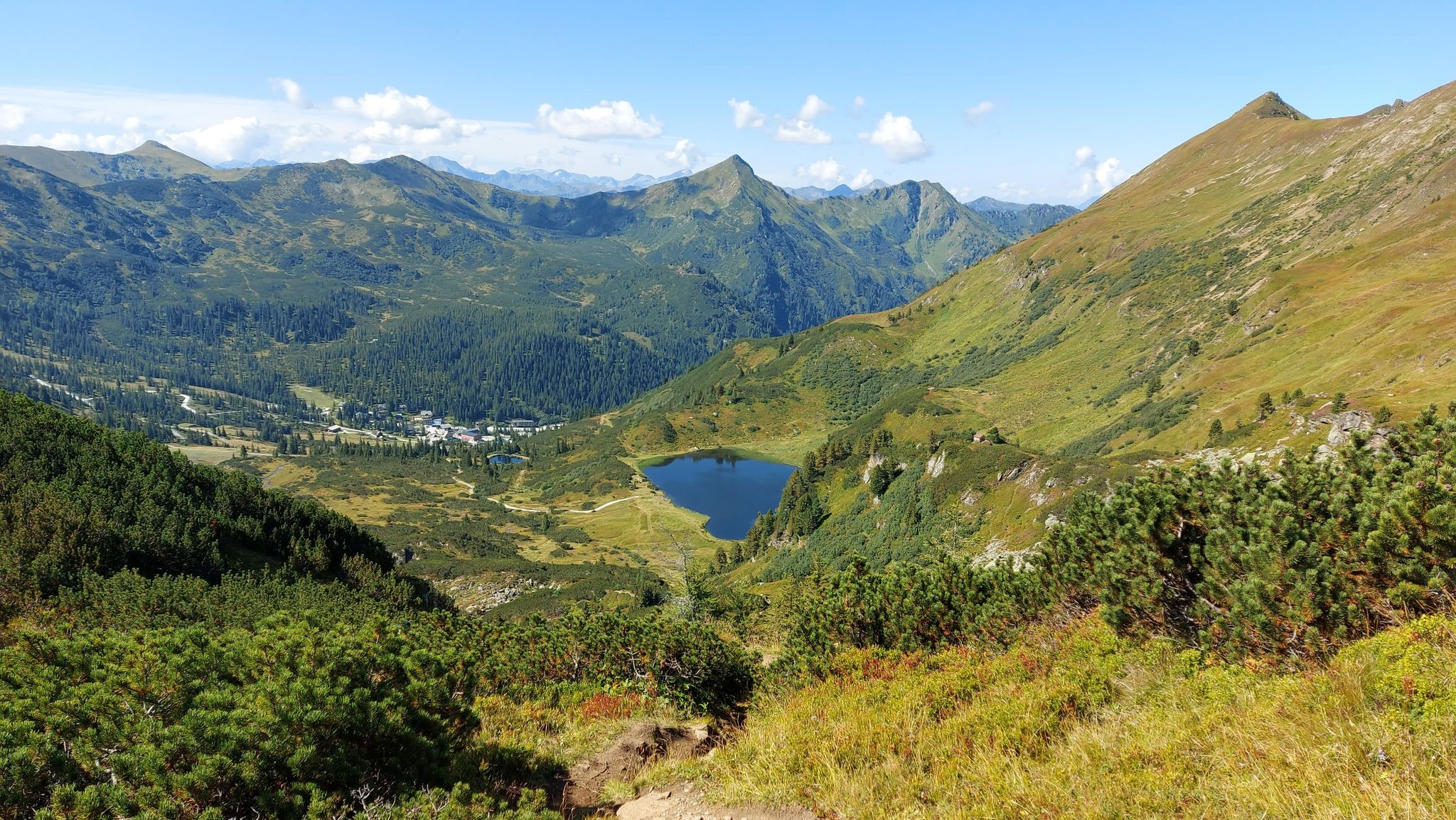
Austria's Salt Trail – On old paths through Styria
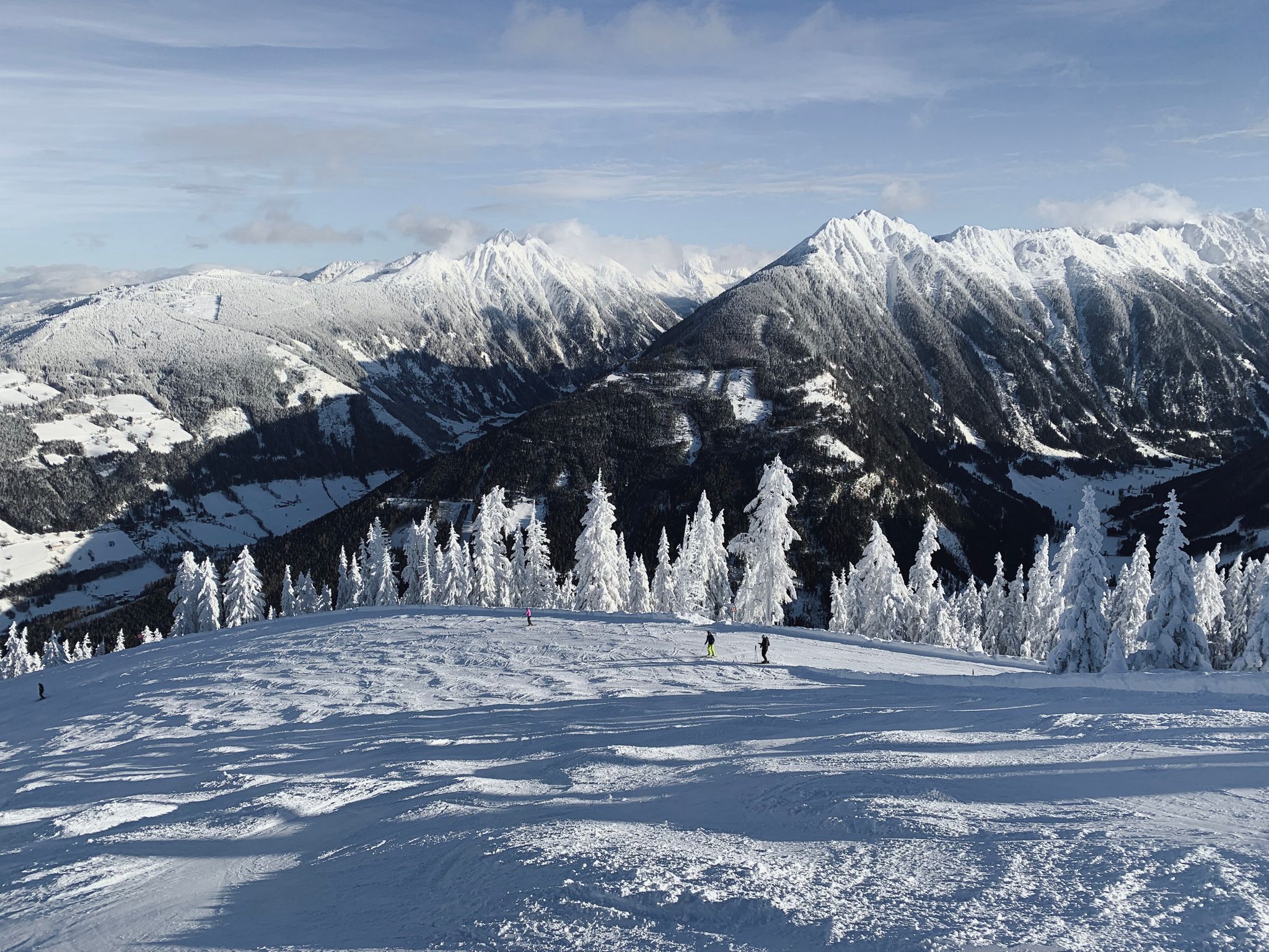
Cross-country in Schladming-Dachstein in Austria – 6 snowshoe Tours
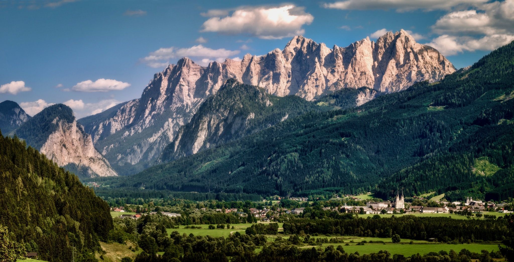
A hiking pilgrimage in Styria and Carinthia – Hemma Pilgrim Trail
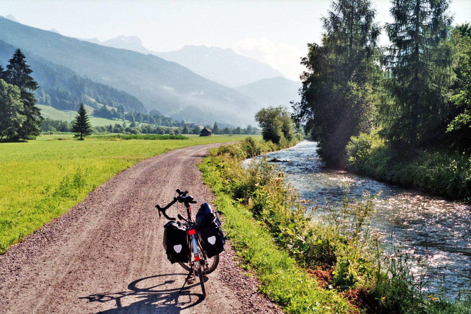
Enns cycle path – In 7 stages through the heart of Austria

Magnificent mountain biking on Austria's alpine pastures
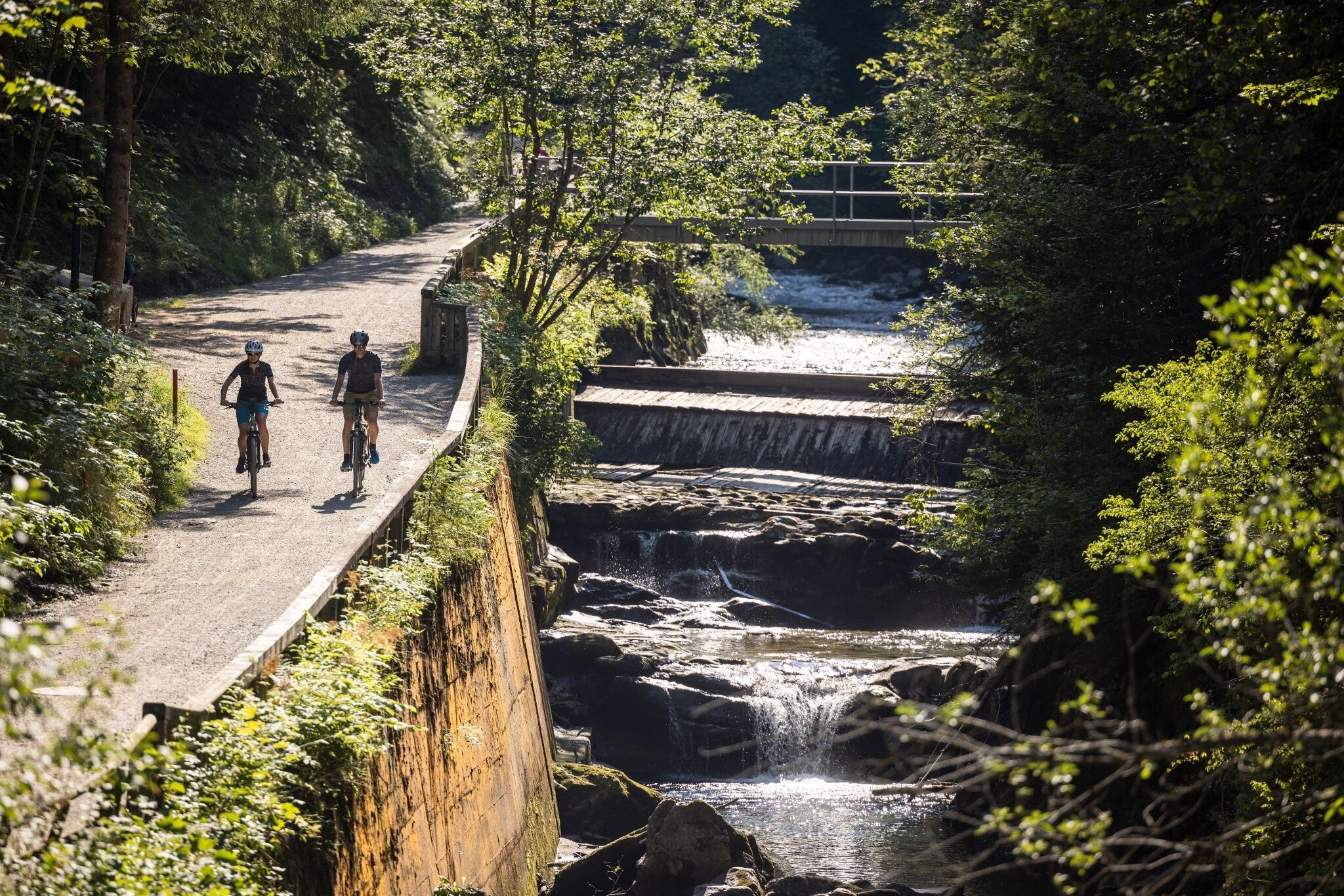
Experience mountain biking in Schladming-Dachstein — top routes from our bike hotels
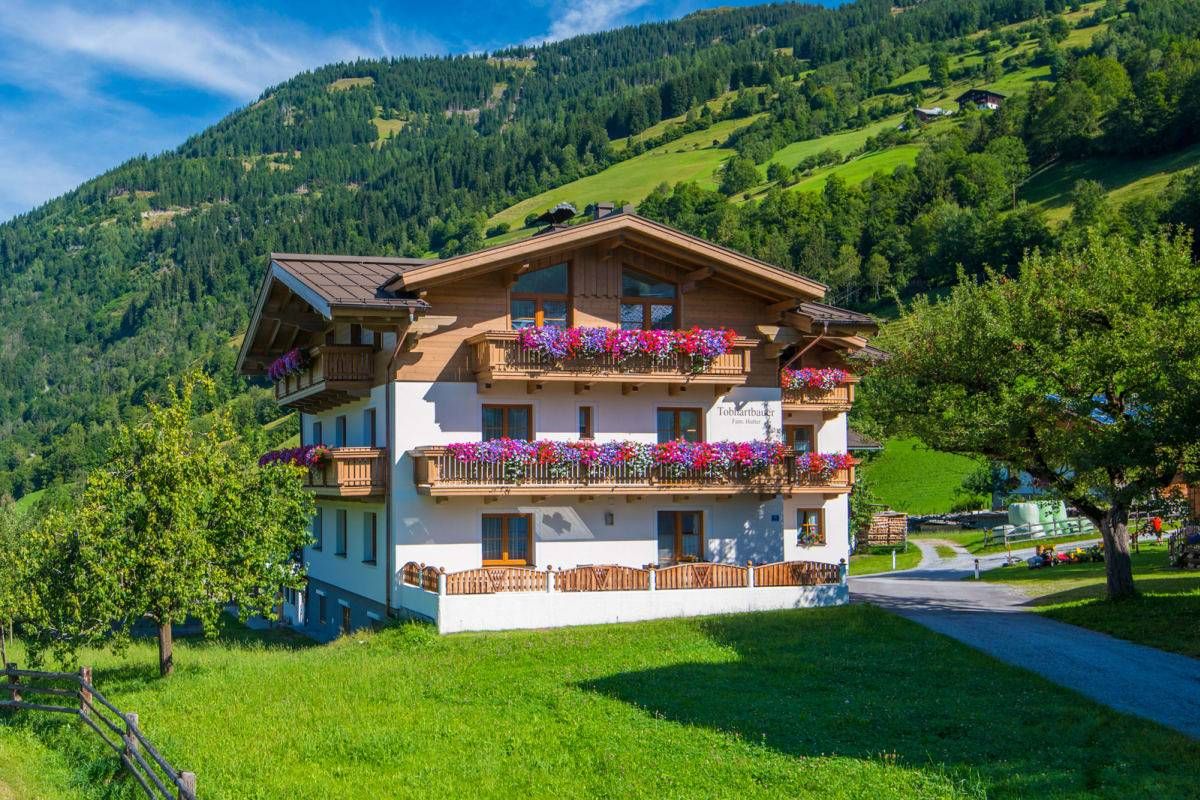
Sun, mountains, bathing fun – an active vacation on Austria's Farms
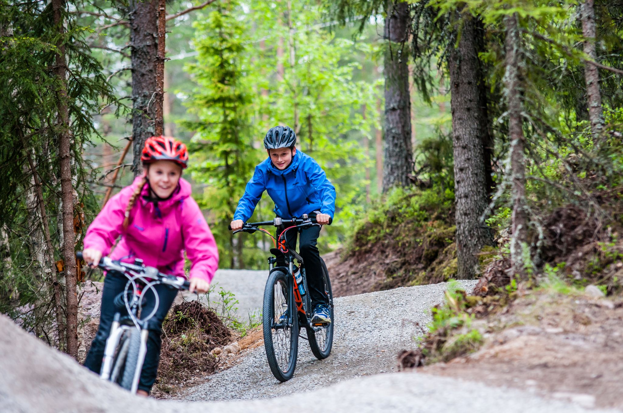
Mountainbiking the alps with the kids
Other adventures around Irdning-Donnersbachtal


Tips from the Community

The highest natural pharmacy at 1600m altitude. Here, valuable mountain pine oil is extracted from mountain pines using steam distillation. You can find out more about the traditional production process and a short tour is offered. In a great little shop, you can buy natural healing products made from mountain pine oil. The restaurant is also very cozy and rustic with very friendly hosts. A really worthwhile destination.
1
0


Wonderful views and a summit cross on this wonderful circular tour.
2
0
There are various branches here to the Plannerseekarspitzel, Hochrettelstein or Plannereck.
2
0

This path is so beautiful, very easy to walk, panorama in all directions
0
0

This is a particularly beautiful section: you hike through the lushest nature and enjoy wonderful views of Kothüttensee and the surrounding peaks. A dream for every hiker!
1
0
The Planneralm is a place of power in itself, the highest mountain village in Styria. Here you will find a Robin Hood archery course, many lonely hiking trails and also a few huts for eating and sleeping. Further information at: https://www.planneralm.at.
2
1
The Plannerknot is a 1,996 meter high mountain that gives you wonderful views and can be reached from the mountain pasture of the same name in not too long. From here you can head for many other peaks such as the Hochrettenstein, the Gstemmerspitze or the Plannerseekarspitze.
1
0
Frequently Asked Questions
How many dog-friendly hiking trails are available in Irdning-Donnersbachtal?
There are over 15 dog-friendly hiking trails in the Irdning-Donnersbachtal region, offering a variety of experiences for you and your canine companion. Most of these routes are rated as moderate, with one challenging option for more experienced hikers.
What kind of terrain can I expect on dog-friendly hikes in Irdning-Donnersbachtal?
The region offers diverse terrain, from tranquil reservoir walks to alpine environments around Planneralm. You'll find paths winding through forests, alongside mountain lakes like Plannersee, and offering panoramic views of the Grimming Massif. Expect varied surfaces, including forest paths, gravel, and some rocky sections, especially on higher routes.
Are there any dog-friendly circular walks in Irdning-Donnersbachtal?
Yes, many of the dog-friendly routes are circular, allowing you to start and end at the same point. For example, the Plannersee – Plannerknot loop from Köberlkapelle is a great option, covering about 7.5 km with moderate elevation changes.
What natural features or landmarks can I see on dog-friendly hikes?
Irdning-Donnersbachtal is rich in natural beauty. You can explore impressive gorges like Donnersbachklamm Gorge with its waterfalls, or visit serene lakes such as Salza Reservoir and Spechtensee. Many trails also offer stunning viewpoints, including benches overlooking the South Shore of Steirersee.
Are there any waterfalls accessible on dog-friendly trails?
Absolutely! The region features several beautiful waterfalls. You can discover the Salza Waterfall, Dürrmoos Waterfall, and the Eselsbach Waterfall. The Donnersbachklamm Gorge also boasts romantic spots where the Donnersbach stream carves its way through ancient rock, creating smaller cascades.
What is the best time of year for dog-friendly hiking in Irdning-Donnersbachtal?
The best time for hiking with your dog is generally from late spring to early autumn (May to October). During this period, the weather is milder, and trails are typically clear of snow. Spring offers lush greenery and abundant streams, while autumn provides vibrant foliage. Always check local conditions, especially for higher alpine routes, as snow can persist into early summer.
Are there any easy dog-friendly walks suitable for beginners or older dogs?
While most routes are moderate, some offer shorter distances and less elevation gain, making them suitable for beginners or dogs needing a gentler pace. For instance, the Panorama Lake – Plannersee loop from Planneralm Rotbühellift is just under 5 km with manageable ascents, providing a pleasant experience for all.
What do other hikers say about the dog-friendly trails in Irdning-Donnersbachtal?
The komoot community highly rates the dog-friendly trails in Irdning-Donnersbachtal, with an average score of 4.5 out of 5 stars from over 1400 ratings. Reviewers often praise the stunning panoramic views, the well-maintained paths, and the diverse natural landscapes that make for an enjoyable outing with their dogs.
Are there any challenging dog-friendly hikes for experienced hikers and dogs?
Yes, for those seeking a more demanding adventure, there is one challenging dog-friendly route available. These trails typically involve greater elevation changes and potentially rougher terrain, offering a rewarding experience for well-conditioned hikers and their dogs. Always ensure your dog is fit enough for strenuous activity and bring plenty of water.
Can I find dog-friendly trails that start from Planneralm?
Absolutely. Planneralm, as Styria's highest mountain village, serves as an excellent starting point for several dog-friendly hikes. You can access routes like the Plannersee – Plannerknot loop from Planneralm Rotbühellift directly from there, offering alpine scenery and beautiful lake views.
Are there any dog-friendly routes that offer views of the Grimming Massif?
Many trails in the Irdning-Donnersbachtal region provide spectacular views of the mighty Grimming Massif, which dominates the landscape. While specific routes might not directly climb Grimming, hikes around Planneralm and other elevated areas will offer magnificent viewpoints of this iconic mountain.
What should I consider when hiking with my dog in this region?
Always keep your dog on a leash, especially in areas with livestock or wildlife. Bring plenty of water for both yourself and your dog, and pack waste bags. Be mindful of weather changes, as conditions can shift quickly in the mountains. Some trails may have sections with loose rocks or steep inclines, so ensure your dog is comfortable with varied terrain.
Most popular routes around Irdning-Donnersbachtal
Most popular attractions around Irdning-Donnersbachtal

Get inspired with the komoot mobile app


Explore more
Browse the best Hikes in other regions.
