The best hikes from bus stations around Haslach an der Mühl
4.6
(2267)
12,152
hikers
60
hikes
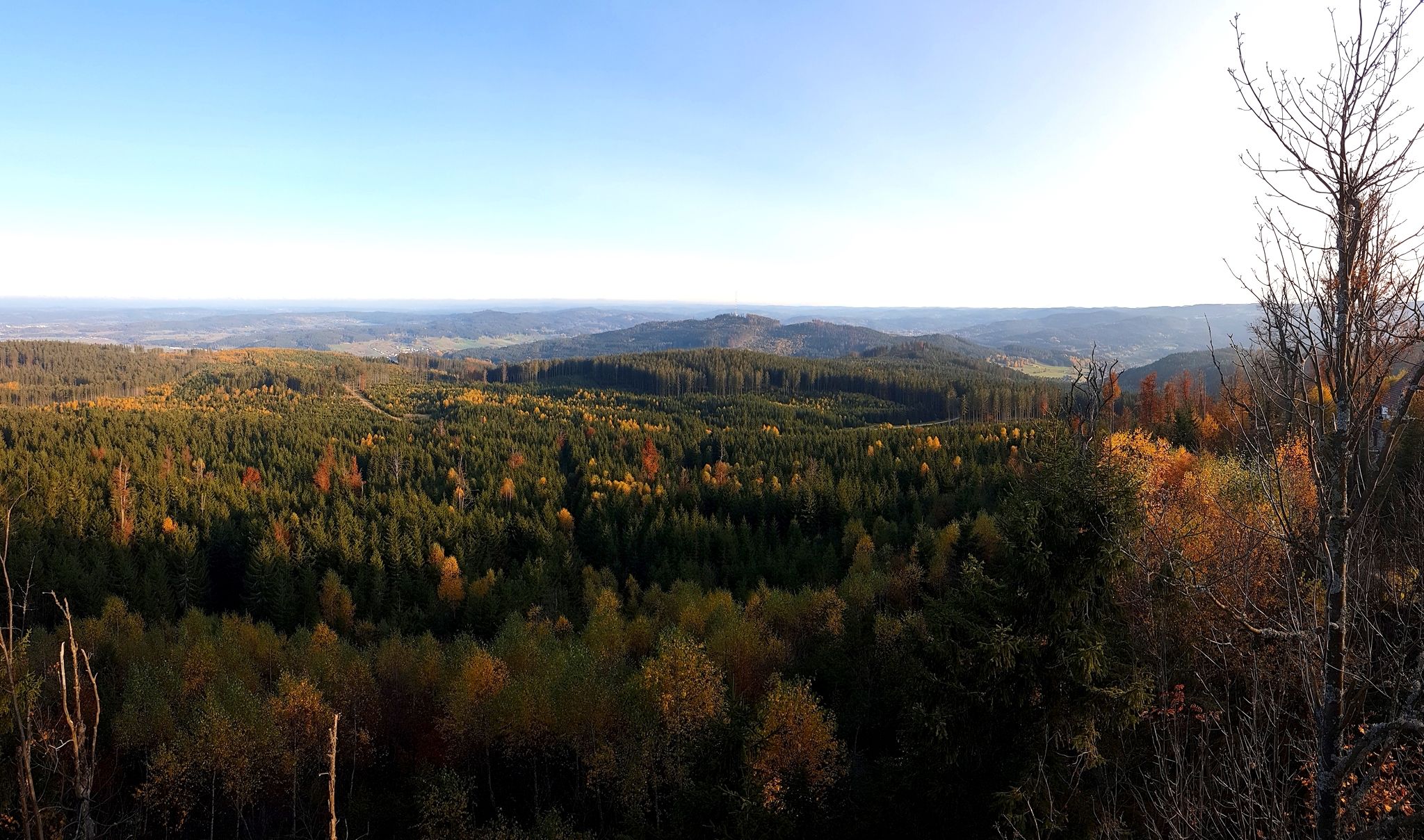
Bus station hiking trails around Haslach an der Mühl are set within the Upper Mühlviertel, characterized by its location at the confluence of the Große and Steinerne Mühl rivers. The region borders the Bohemian Forest, offering a landscape rich in forests and natural features. Elevations include the 752-meter Tanzboden hill, providing accessible viewpoints. The area also features the Bayrische Au Boardwalk, a trail through a raised bog, and historical elements like the Schwarzenberg Alluvial Canal.
Best bus station hiking trails…
Last updated: October 27, 2026
4.5
(47)
223
hikers
13.2km
03:39
230m
230m
Moderate hike. Good fitness required. Easily walkable paths.
4.5
(50)
219
hikers
11.4km
03:11
220m
220m
Moderate hike. Good fitness required. Easily walkable paths.

4.8
(28)
198
hikers
5.88km
01:38
70m
70m
Moderate hike. Mostly walkable paths. Sure-footedness required.
4.7
(22)
153
hikers
Moderate hike. Good fitness required. Easily walkable paths.
4.5
(13)
104
hikers
Moderate hike. Good fitness required. Mostly walkable paths. Sure-footedness required.
Get access to more routes and recommendations from other explorers.
Already have an account?
Our route recommendations are based on thousands of hikes, rides, and runs completed by other people on komoot.
Start today with a free account
Your next adventure awaits.
Popular around Haslach an der Mühl
Other adventures around Haslach an der Mühl

Tips from the Community

Very nice section of the flood channel!
0
0
Probably one of the most beautiful sections on the Schwarzenbergischen Schwemmkanal.
0
0
Beautiful hiking trail between Helfenberg and Haslach. Sometimes the deer fly spoils the pleasure of walking here...
0
0
Unfortunately, the Notarquelle does not provide drinking water...
0
0

A hike of approximately 1 1/2 hours; hiking boots are required.
0
0


At the Zaglmühle there is a bridge over the Steinerne Mühl
0
0
Frequently Asked Questions
How many hiking trails are accessible from bus stations around Haslach an der Mühl?
There are over 60 hiking trails around Haslach an der Mühl that are easily accessible from bus stations, offering a variety of experiences for different skill levels. These routes allow you to explore the picturesque Upper Mühlviertel without needing a car.
Are there any family-friendly hiking trails accessible by bus in Haslach an der Mühl?
Yes, Haslach an der Mühl offers excellent family-friendly options. The Zaglmühle – Zaglmühle Waterfall loop from Haslach an der Mühl is a moderate 5.8 km route that can be a good choice. Additionally, the Naturerlebnisweg along the Steinerne Mühl, though not specifically listed as a bus station route here, is a 4 km circular path designed for families with 33 interactive stations.
Which bus-accessible trails feature waterfalls or river views?
You can experience beautiful river scenery and a waterfall on trails like the Along the Große Mühl – Zaglmühle Waterfall loop from Haslach an der Mühl. This moderate 11.4 km route takes you along the Große Mühl river and past the Zaglmühle Waterfall, showcasing the region's 'Little Venice' charm.
Are there any circular hiking routes starting directly from a bus station?
Yes, many routes are designed as circular walks for convenience. For example, the Along the Große Mühl – Zaglmühle Waterfall loop from Haslach an der Mühl is a moderate circular trail that starts and ends in Haslach an der Mühl, making it ideal for public transport users. The local Haslach circular route (Path number 75) is also an easy option, suitable for prams, offering diverse views of the town.
What kind of natural features or landmarks can I expect to see on these hikes?
The bus-accessible trails in Haslach an der Mühl offer a variety of natural and historical sights. You can explore the unique riverine environment where the Große and Steinerne Mühl rivers meet, or discover the historical Schwarzenberg Alluvial Canal. The Bayrische Au Boardwalk, a trail through a raised bog, is another significant natural feature in the area.
Are there any trails that offer good viewpoints of Haslach an der Mühl?
Yes, for panoramic views, consider the Heiligenwasser Chapel – View of Haslach from Rest Area loop from Haslach an der Mühl. This moderate 12.1 km route includes the Heiligenwasser Chapel and offers excellent vantage points of the town and surrounding landscape. The 752-meter high "Tanzboden" (Ekartsberg) is also known as the local mountain of Haslach and provides accessible elevation for hikers.
What is the best time of year to go hiking from bus stations in Haslach an der Mühl?
The region is beautiful throughout the warmer months, typically from spring to autumn. Spring brings lush greenery, while autumn offers vibrant foliage. Summer is ideal for longer days and enjoying the river environments. Always check local weather conditions before heading out, as some trails might be less accessible in heavy snow or ice during winter.
Are dogs allowed on the hiking trails accessible by bus?
Generally, dogs are welcome on most hiking trails in the Haslach an der Mühl region. However, it's always advisable to keep them on a leash, especially in nature reserves, near livestock, or in areas with wildlife. Please ensure you carry waste bags and water for your dog.
What do other hikers enjoy most about hiking in Haslach an der Mühl?
The area is highly rated by the komoot community, with an average score of 4.58 stars. Reviewers often praise the diverse landscapes, the well-maintained trails along the rivers, and the convenience of accessing routes directly from public transport hubs. The blend of natural beauty and historical elements, like the Schwarzenberg Alluvial Canal, is also frequently highlighted.
Are there any easy hiking routes accessible by bus for beginners?
Yes, there are several easy routes suitable for beginners. The Haslach circular route (Path number 75), mentioned in regional research, is an easy 4.9 km path suitable for prams and offers diverse views. While not specifically listed in the provided routes, 23 of the 63 bus-accessible tours are classified as easy, ensuring options for those new to hiking or looking for a relaxed walk.
Can I find refreshments or places to eat along the bus-accessible hiking trails?
Haslach an der Mühl itself offers various cafes and restaurants where you can refuel before or after your hike. Some longer routes might pass through smaller villages or near establishments, but it's always recommended to carry sufficient water and snacks, especially on more remote sections of the trails. The town's connection to textile culture also means you might find charming local spots.
Most popular routes around Haslach an der Mühl
Most popular attractions around Haslach an der Mühl

Get inspired with the komoot mobile app


Explore more
Browse the best Hikes in other regions.
