The best hikes from bus stations around Altheim
4.4
(974)
5,082
hikers
24
hikes
Bus station hiking trails around Altheim offer access to a diverse landscape characterized by its unique karst features and the varied terrain of the Swabian Jura. The region includes the Lonetal valley, providing moderate climbs and scenic paths. Hikers can explore areas featuring ancient geological formations and natural beauty, including the Eglenseen ponds. This area provides a range of routes suitable for different skill levels, accessible directly from local bus stops.
Best bus station hiking trails around Altheim
- The most…
Last updated: September 30, 2026
4.6
(9)
32
hikers
10.2km
02:41
90m
90m
Moderate hike. Good fitness required. Easily-accessible paths. Suitable for all skill levels.
12
hikers
5.72km
01:28
30m
30m
Easy hike. Great for any fitness level. Easily-accessible paths. Suitable for all skill levels.

4.0
(1)
7
hikers
11.0km
02:54
100m
100m
Moderate hike. Good fitness required. Easily-accessible paths. Suitable for all skill levels.
5.0
(1)
7
hikers
11.1km
02:52
60m
60m
Moderate hike. Good fitness required. Easily-accessible paths. Suitable for all skill levels.
5.0
(1)
4
hikers
12.5km
03:19
130m
130m
Moderate hike. Good fitness required. Easily-accessible paths. Suitable for all skill levels.
Get access to more routes and recommendations from other explorers.
Already have an account?
Our route recommendations are based on thousands of hikes, rides, and runs completed by other people on komoot.
Start today with a free account
Your next adventure awaits.



Tips from the Community

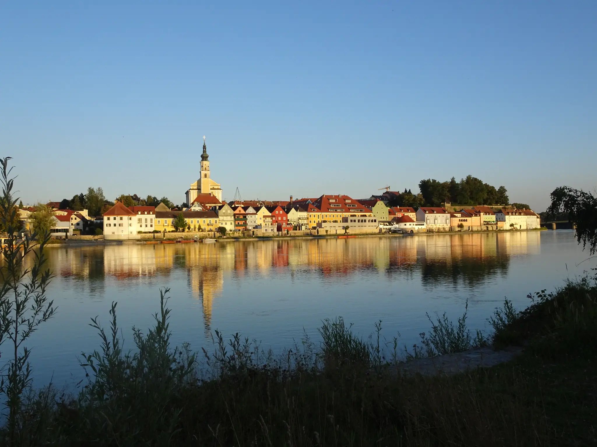
St. Andrew's Parish Church in Polling. This Gothic ashlar building is made of tuff stone. In the nave and choir, the ribs of the Gothic vaults were removed and replaced with Baroque stucco. The frescoes date from the 19th century.
0
0

Always beautiful through the town of Altheim on the Roman cycle path.
0
0

This place is historically very well documented
0
0
very nice view, typical Innviertel
0
0

Beautiful all-round view!
1
0
History is always interesting, as well as a nice rest area with a great view
0
0

The Roman cycle path leads through buildings to the town square
1
0
Frequently Asked Questions
How many bus station hiking trails are available around Altheim?
There are over two dozen hiking trails accessible directly from bus stations around Altheim, offering a variety of experiences for different skill levels. You'll find 9 easy routes, 14 moderate routes, and 1 more challenging option.
Are there any easy, family-friendly hikes accessible by bus in Altheim?
Yes, several easy routes are perfect for families. For a pleasant stroll, consider the Parish Church of Altheim loop from Altheim, which is just under 6 km and features minimal elevation gain. The region also offers trails like the Hirschental Valley loop, known for its easier experience.
What kind of landscapes can I expect on hikes near Altheim's bus stations?
Altheim is nestled in a diverse landscape, primarily characterized by its unique karst features, which you can explore on dedicated geological trails. You'll also encounter the scenic Lonetal Valley with moderate climbs, and the broader Swabian Jura region, known for its characteristic natural beauty. The Eglenseen (Eglensee Ponds) near Gerstetten offer a combination of natural beauty and artistic mosaic sculptures.
Are there any circular walks starting from Altheim bus stops?
Many of the trails accessible from Altheim's bus stations are circular routes, perfect for returning to your starting point. For example, the Roman Bath Ruins – Picnic Area with Wooden Table loop from Altheim is a moderate 10 km circular hike. Another option is the Altheim Town Square – Parish Church of Altheim loop from Altheim, offering an 11 km moderate circular experience.
What are the best times of year to hike near Altheim bus stations?
The region is particularly beautiful in spring when nature blossoms, and in autumn with its vibrant foliage. These seasons offer pleasant temperatures and stunning scenery for hiking.
What do other hikers enjoy most about hiking in Altheim?
The area is highly rated by the komoot community, with an average score of 4.5 stars from over 850 ratings. Reviewers often praise the varied landscapes, the well-maintained paths, and the accessibility of trails from public transport hubs, making it easy to explore the region's natural and historical sites.
Are there any historical or natural landmarks to see along the bus station hiking trails?
Yes, Altheim's trails offer access to several interesting landmarks. You can visit the Frauenstein Castle, explore the unique Teufelstein of Halmstein, or see the impressive Frauenstein Oak. The Eglsee Bird-Watching Tower is also a popular spot for nature enthusiasts.
Can I find trails with good panoramic views near Altheim bus stations?
Absolutely. The region offers routes with excellent vistas. For panoramic views, consider the Panoramic View of Altheim loop, which includes the Sühnekreuz near Zähringen. Another route, the Picnic Area with Wooden Table – View of the Innviertel loop from Altheim, provides expansive scenery over the Innviertel region.
Are there any trails that pass by water features or unique geological sites?
Yes, Altheim's karst landscape means you'll find unique geological phenomena. The Eglenseen (Eglensee Ponds) near Gerstetten are a notable water feature, often combined with artistic mosaic sculptures. You can also find the Fish Ladder Ering, an interesting man-made structure related to water management.
What is the longest moderate hike I can take from a bus station in Altheim?
For a longer moderate hike, the Picnic Area with Wooden Table – View of the Innviertel loop from Altheim covers approximately 12.5 km with a moderate elevation gain, offering a rewarding experience.
Are there any trails that explore the local culture or history?
Many routes offer glimpses into the local heritage. The Parish Church of Altheim loop takes you past a significant local landmark. Additionally, the region's award-winning circular hiking trail traces the paths of shepherds, connecting you to the area's cultural and agricultural history.
Most popular attractions around Altheim

Get inspired with the komoot mobile app


Explore more
Browse the best Hikes in other regions.
