The best hikes from bus stations around Naas
4.6
(3644)
26,918
hikers
19
hikes
Bus station hiking trails around Naas offer access to a landscape characterized by accessible canal towpaths, open plains, and gentle hills. The region provides a blend of natural beauty and maintained trails suitable for various fitness levels. While the area features historic waterways like the Grand Canal, it also includes routes with some elevation gain, such as those leading to hills. The terrain primarily consists of paths suitable for walking and hiking.
Best bus station hiking trails around Naas
- The most popular bus station hiking route is Landscha Car Park – Basilica on Weizberg loop from Naas, a 5.9 miles (9.5 km) trail that takes 2 hours 40 minutes to complete. This moderate route features varied terrain and leads to a basilica.
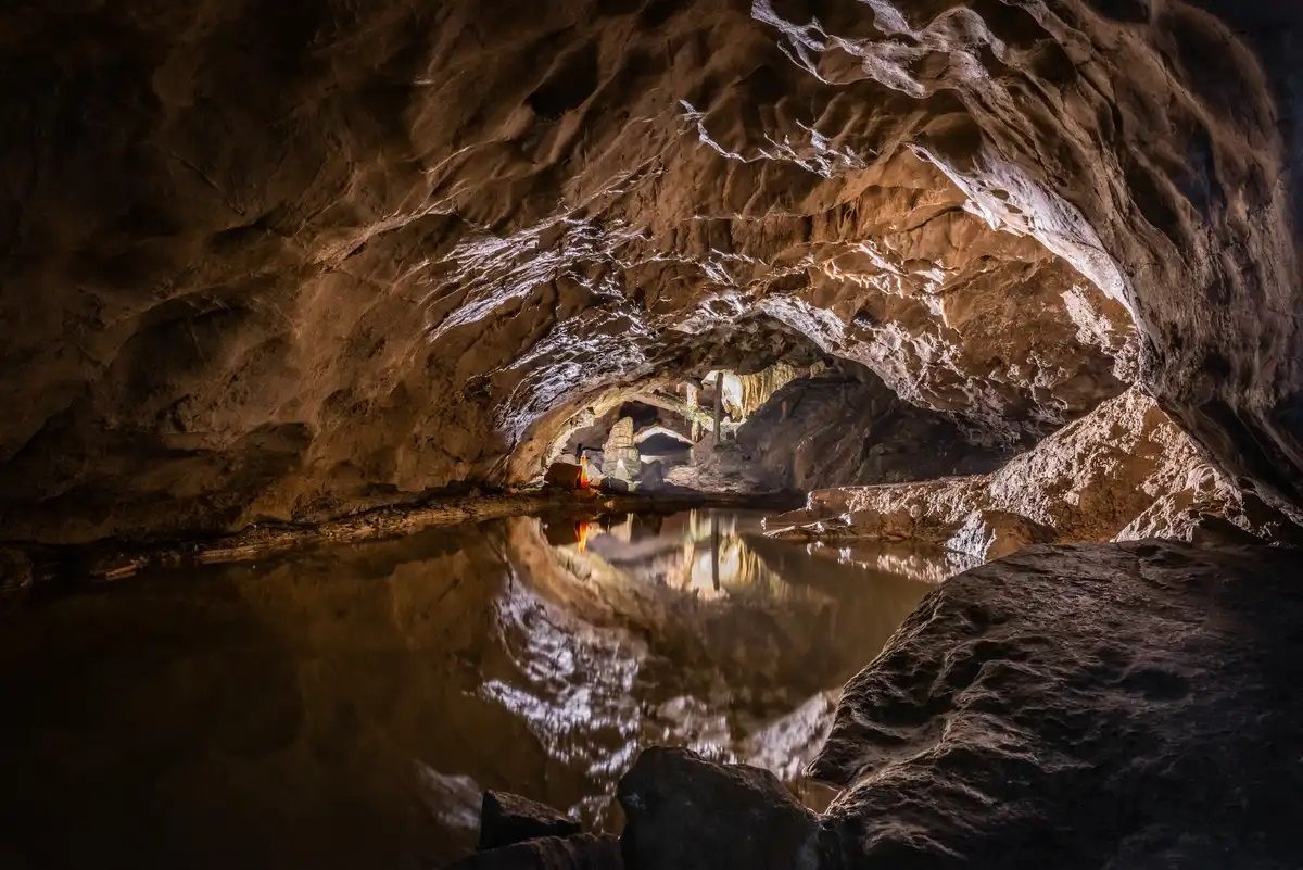
- Another top favourite among local hikers is Grassl Cave – Gösserwand Viewpoint loop from Gollersattel, a moderate 4.0 miles (6.5 km) path. This trail offers views from the Gösserwand viewpoint and explores the area around Grassl Cave.
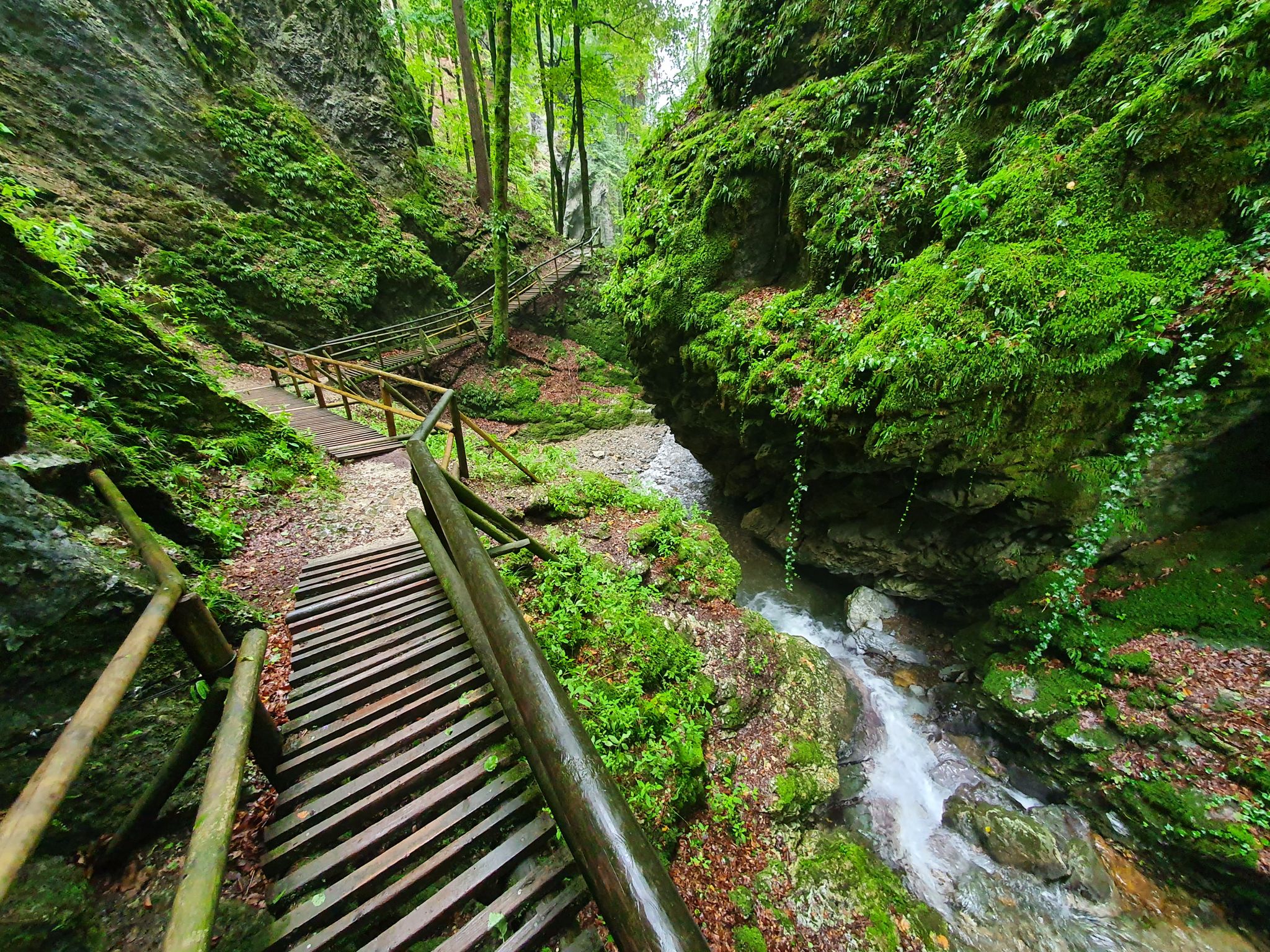
- Local hikers also love the Rock Passage on the Jägersteig – Rabloch Cave loop from Europaschutzgebiet 48 Weizklamm mit Wolfsattel, a 1.9 miles (3.1 km) trail leading through a rock passage and to Rabloch Cave, often completed in about 1 hour 23 minutes.
- Hiking around Naas is defined by canal towpaths, open plains, and gentle hills, offering options for both easy, family-friendly walks and routes with some elevation gain. The network of routes provides diverse experiences for different ability levels.
- The routes in Naas are highly rated by the komoot community with an average score of 4.6 stars from over 3100 reviews. More than 25000 hikers have used komoot to explore Naas's varied terrain.
Last updated: October 27, 2026
4.3
(21)
137
hikers
6.59km
02:21
370m
370m
Moderate hike. Good fitness required. Mostly walkable paths. Sure-footedness required.
4.8
(4)
52
hikers
10.7km
04:20
680m
670m
Hard hike. Good fitness required. Sure-footedness, sturdy shoes and alpine experience required.

5.0
(2)
28
hikers
9.47km
02:40
200m
200m
Moderate hike. Good fitness required. Easily walkable paths.
5.0
(2)
18
hikers
6.65km
02:50
420m
420m
Hard hike. Good fitness required. Sure-footedness, sturdy shoes and alpine experience required.
5.0
(3)
22
hikers
3.13km
01:23
140m
140m
Hard hike. Sure-footedness, sturdy shoes and alpine experience required.
Get access to more routes and recommendations from other explorers.
Already have an account?
Our route recommendations are based on thousands of hikes, rides, and runs completed by other people on komoot.
Start today with a free account
Your next adventure awaits.

Tips from the Community

attached are the tour data for this highlight: https://www.komoot.com/de-de/user/2058612300722
0
0
attached the tour data to this highlight: https://www.komoot.com/de-de/user/2058612300722
0
0
attached are the tour details for this highlight: https://www.komoot.com/de-de/user/2058612300722
0
0

Best Cordon Bleu, definitely try it!!!
0
0


Great views of the Weizklamm and the surrounding mountains. One viewpoint is more beautiful than the next.
0
0
At the protected cave/Rablloch there is a sign that the path continues unmarked. The path goes to the right, anti-clockwise, past the cave (not to the left of the cave, where the sign is). The path/trail is not marked and is difficult to see in places. You need to be sure-footed throughout, and you will occasionally need your hands. There are 3 places where you can stop and hold on to a blue rope.
0
0
Frequently Asked Questions
How many bus station hiking trails are available around Naas?
There are nearly 20 hiking routes accessible from bus stations around Naas, offering a variety of experiences for different skill levels. The komoot community has rated these trails highly, with an average of 4.6 stars.
Are there any easy, family-friendly bus station hikes near Naas?
Yes, Naas offers several easy, family-friendly options. The historic Grand Canal towpaths are particularly suitable, providing flat and scenic walks. For example, the Naas Grand Canal via Abbey Bridge trail is an easy 6 km path, and the Naas Canal Basin via Monread Park loop is a 6.7 km easy path combining canal-side walking with green spaces. Monread Park itself also has a 2.4 km perimeter path ideal for leisurely strolls.
Can I find circular hiking routes accessible by bus from Naas?
Absolutely. Many of the trails around Naas are designed as circular routes, allowing you to start and end your hike at the same point, often conveniently near a bus stop. The Ballymore Eustace to Golden Falls Reservoir loop is an easy 5 km circular path with picturesque views, perfect for a round trip.
What kind of landscapes can I expect on bus-accessible hikes around Naas?
Hikes around Naas offer a diverse range of landscapes. You can expect accessible canal towpaths along the Grand Canal, open plains, and gentle hills. For a bit more elevation, Cupidstown Hill, the highest point in County Kildare, provides a relatively easy hike through varied terrain and offers a taste of the Wicklow Mountains' fringes.
Are there any dog-friendly hiking trails accessible by bus from Naas?
Many of the trails around Naas, especially the canal towpaths and open park areas, are suitable for walking with dogs, provided they are kept on a leash and you follow local regulations. Always ensure your dog is well-behaved and that you clean up after them. The Grand Canal walks are generally very popular with dog walkers.
What are some interesting landmarks or attractions I can see along these bus-accessible routes?
While hiking around Naas, you can explore various points of interest. The historic Grand Canal itself is a significant feature. For those interested in historical sites, you might find highlights like Waxenegg Castle Ruins or Gutenberg Castle in the wider region. The Feistritzklamm Gorge also offers natural beauty.
Are there any challenging bus-accessible hikes near Naas?
Yes, for those seeking a more challenging experience, there are several difficult routes available. For example, the Rock Passage on the Jägersteig – Patscha Summit Cross loop is a difficult 10.7 km hike with significant elevation gain, offering a more strenuous adventure.
What is the best time of year to go hiking from bus stations around Naas?
Naas offers enjoyable hiking experiences throughout the year. Spring and autumn provide pleasant temperatures and beautiful scenery, with vibrant foliage or blooming wildflowers. Summer is ideal for longer days, while winter walks can be refreshing, especially along the canal paths, though some higher routes might require more appropriate gear.
Are there any cafes or places to eat near bus-accessible hiking trails in Naas?
Naas town center, being a hub for bus routes, offers numerous cafes, restaurants, and pubs where you can refuel before or after your hike. Along some of the more popular canal routes, you might also find establishments within walking distance of bus stops, providing convenient refreshment options.
What should I wear for hiking near Naas, especially when using public transport?
For hiking around Naas, it's always best to wear comfortable, layered clothing suitable for the weather conditions. Waterproof outerwear is advisable due to Ireland's changeable climate. Sturdy walking shoes or boots are essential, especially for longer or more rugged trails. When using public transport, consider a compact backpack for your essentials.
What do other hikers enjoy most about the bus-accessible trails in Naas?
The komoot community highly rates the trails around Naas, with an average score of 4.6 stars. Hikers frequently praise the accessibility of the routes from public transport, the scenic beauty of the Grand Canal towpaths, and the variety of options ranging from gentle strolls to more challenging hill climbs. The well-maintained paths and peaceful atmosphere are also often highlighted.
Most popular attractions around Naas

Get inspired with the komoot mobile app


Explore more
Browse the best Hikes in other regions.
