The best traffic-free bike rides around Celerina/Schlarigna
4.5
(175)
9,181
riders
3
rides
No traffic road cycling routes around Celerina/Schlarigna traverse the Upper Engadine valley, situated at 1714 meters above sea level. The region features alpine landscapes with prominent mountain passes like Bernina Pass and Julier Pass, alongside serene lakes such as Lej da Staz and Lake Silvaplana. Cyclists encounter varied terrain, from wide valleys to challenging climbs, with views of peaks like Piz Bernina.
Best no traffic road cycling routes in Celerina/Schlarigna
- The most popular no traffic road cycling route is Bergünerstein…
Last updated: October 13, 2026
3.5
(4)
126
riders
31.3km
02:07
1,040m
1,040m
Hard road ride. Very good fitness required. Mostly well-paved surfaces and easy to ride.
4.7
(6)
213
riders
125km
07:21
3,100m
3,100m
Hard road ride. Very good fitness required. Mostly well-paved surfaces and easy to ride.

25
riders
12.1km
00:38
170m
170m
Easy road ride. Great for any fitness level. Mostly well-paved surfaces and easy to ride.
15
riders
Easy road ride. Great for any fitness level. Mostly well-paved surfaces and easy to ride.
Our route recommendations are based on thousands of hikes, rides, and runs completed by other people on komoot.
Start today with a free account
Your next adventure awaits.
Popular around Celerina/Schlarigna
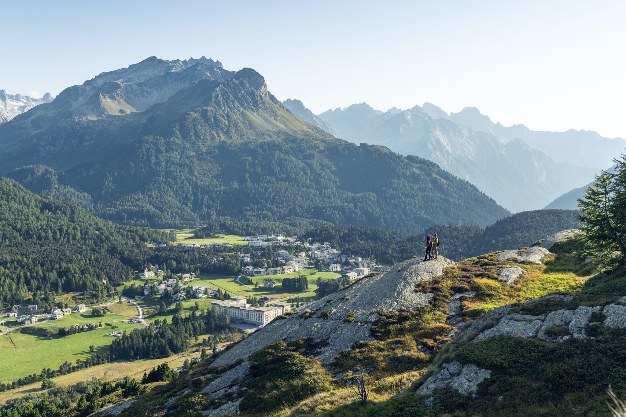
Between water and rock - Via Engiadina
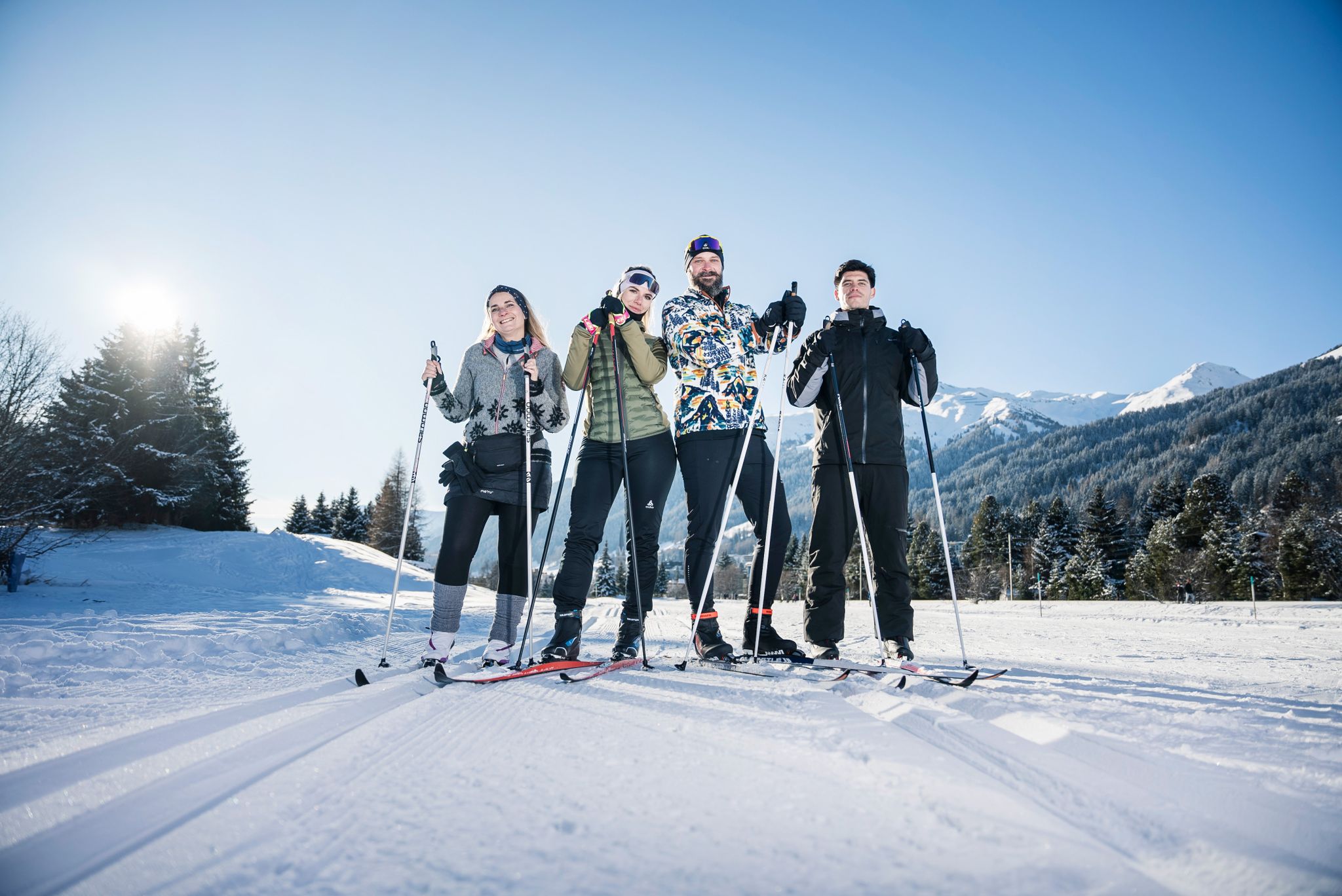
«Everyone runs long»: Cross-country ski trail tips from Graubünden
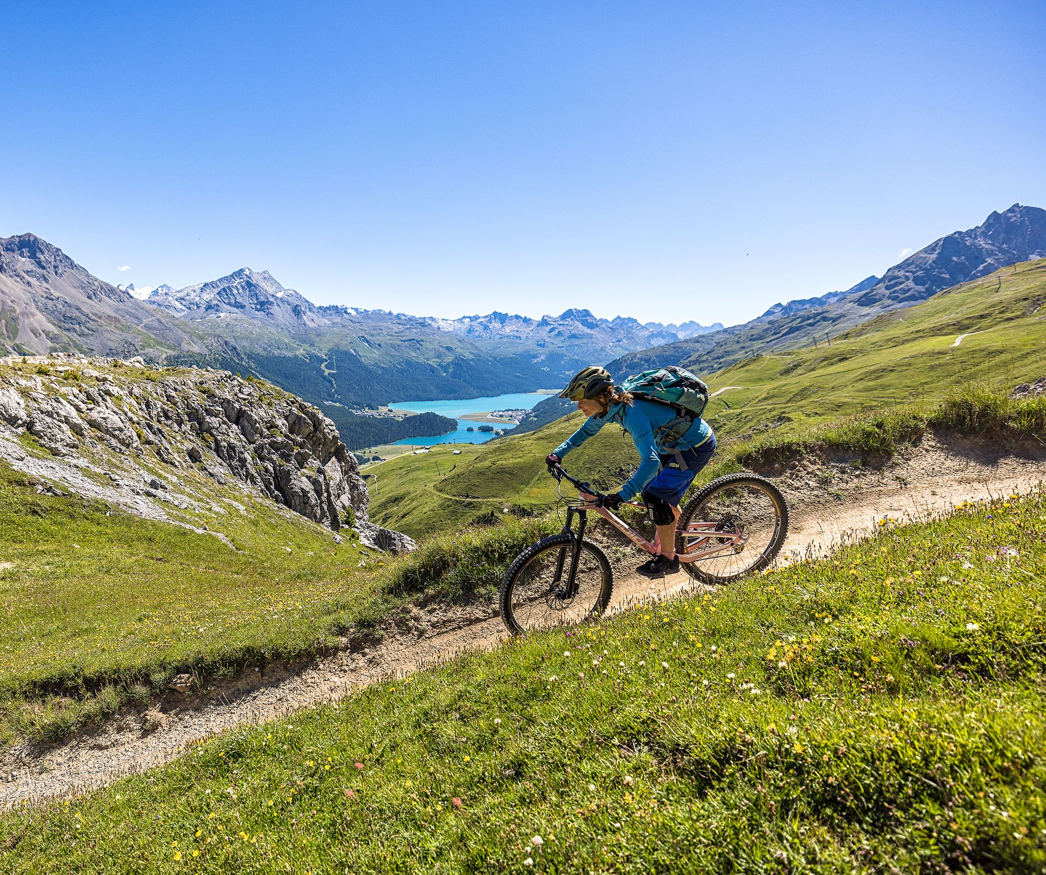
Trails with spectacular alpine panoramas – Engadin MTB region
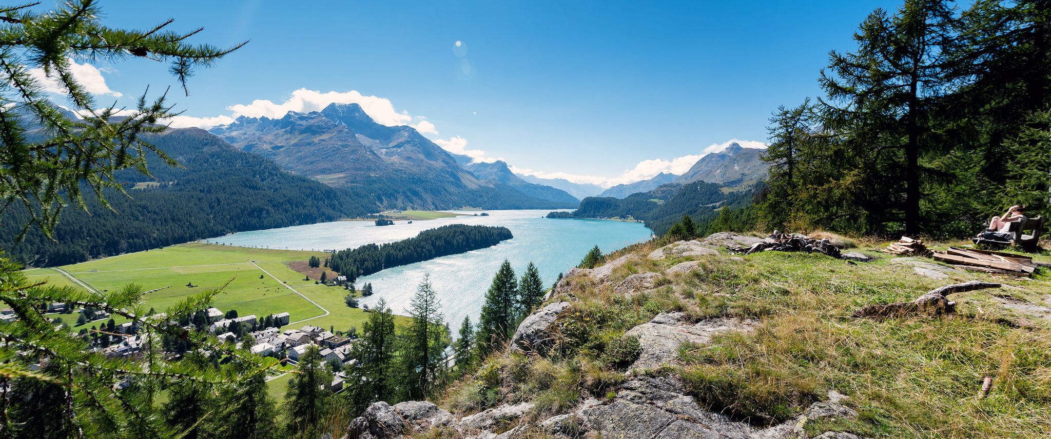
A tranquil and inspiring hike through the Engadin – Via Engiadina
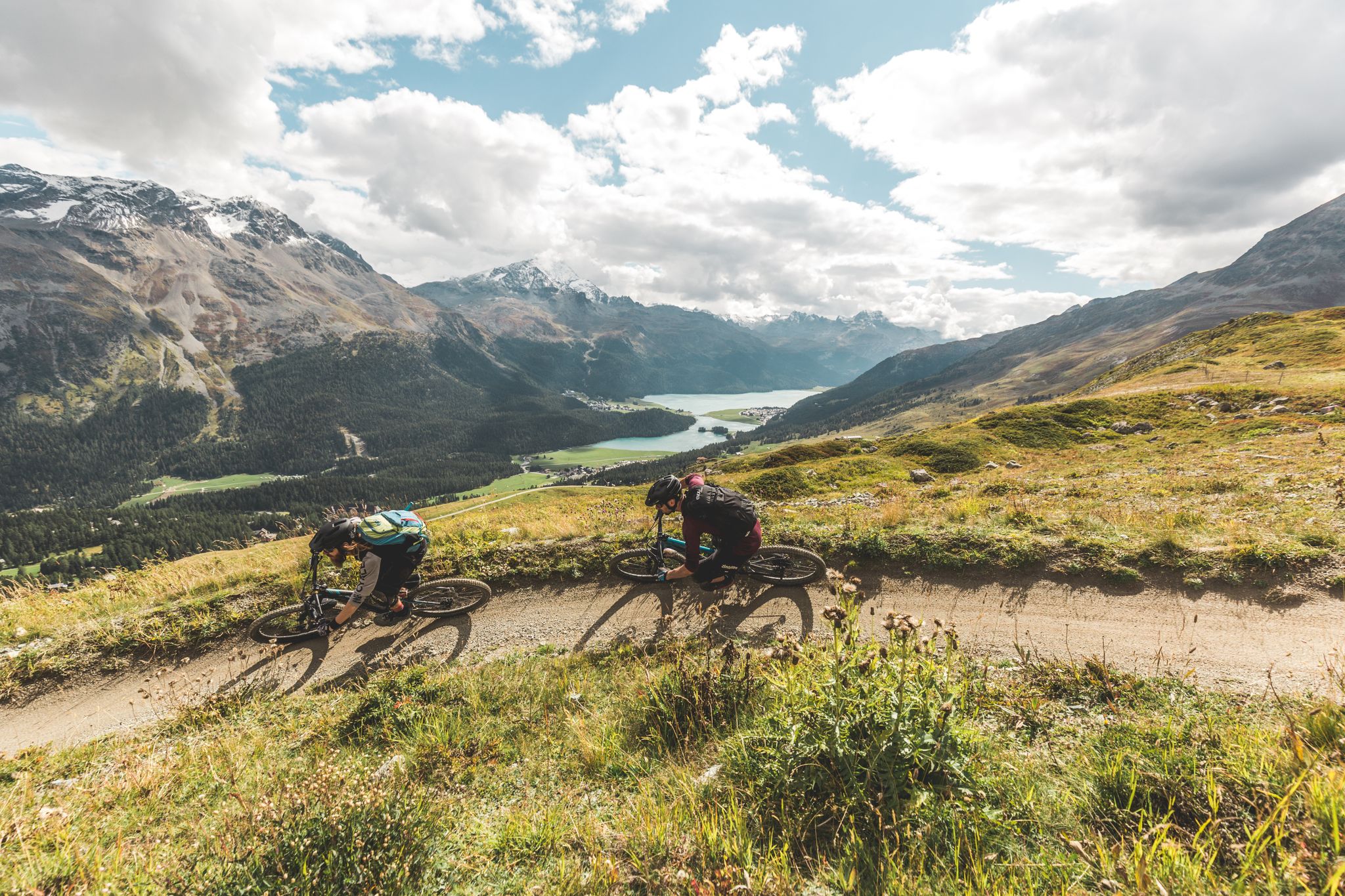
Go with the flow — bike trails in Switzerland’s Engadin valley
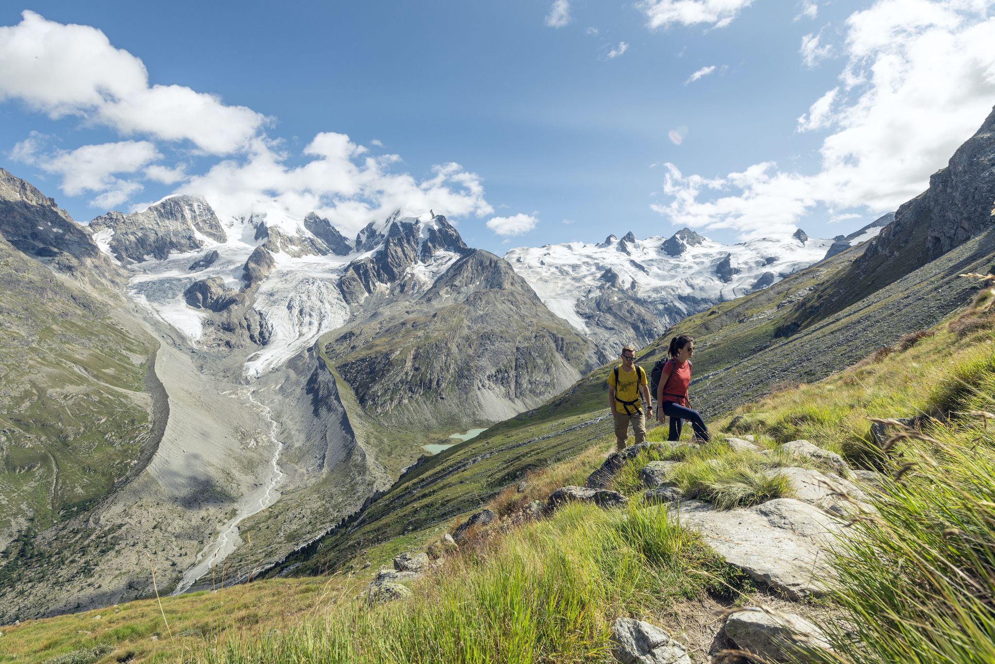
Via Engiadina and Bernina Tour – long-distance hiking in the Engadine
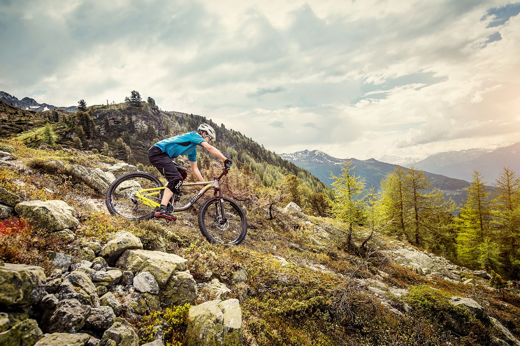
Made for mountain biking — Switzerland
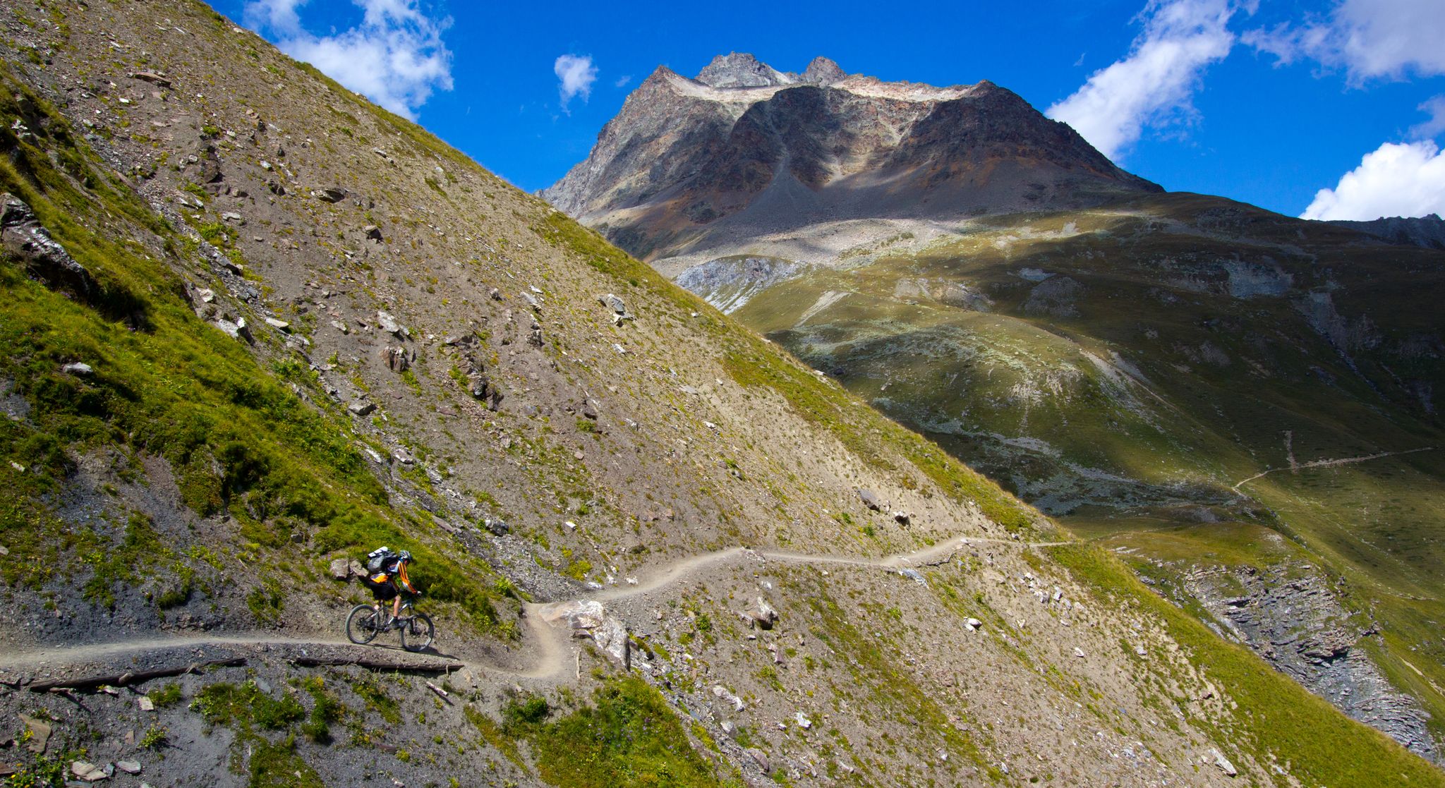
400 kilometres of flow trails in Engadin
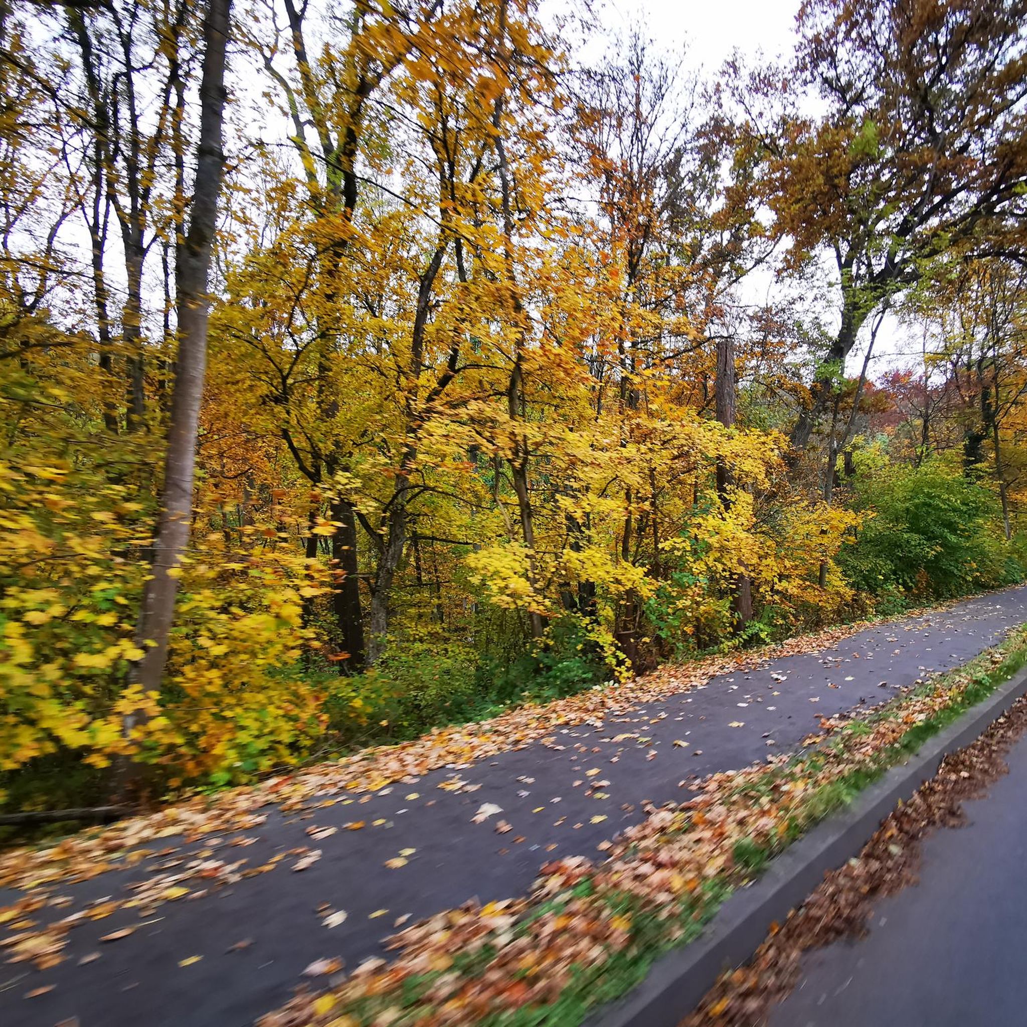
Traffic-free bike rides around Celerina/Schlarigna

Traffic-free bike rides around Celerina/Schlarigna
Other adventures around Celerina/Schlarigna


Tips from the Community

authentic typical Graubünden houses
0
0

Beautiful place... great to ride there
0
0

Julier Pass, History (Pass height 2284 m above sea level) The column remnants exactly at the summit of the Julier Pass and the finds of Roman coins nearby point to a very early use of this Alpine crossing. The Septimer Pass, a few kilometers to the west, which was however steeper and more avalanche-prone, can certainly be considered a competitor. What is certain is that both were used intensively in Roman times. The Julier even with two-wheeled carts. In the age of packhorse trains, the Julier increasingly lost importance because the topography at the Septimer Pass was hardly a factor and, moreover, the detour via the Engadin was not necessary. With the construction of a cart track over the Septimer (1387), the Julier was definitively left behind. The Julier remained important for access to the Upper Engadin and the Bernina Pass. The actual road construction over the Julier took place between 1820 and 1826. In this phase of history, the Julier retained "the upper hand" over the Septimer. On the one hand, topographical reasons were decisive, and on the other hand, the canton could not afford to ignore the Engadin. This was the first road construction project in which the canton acted as the client. In the second half of the 19th century, various route adjustments followed, which became necessary due to the increasing feeder traffic for the Upper Engadin health resorts. The opening of the Albula Line of the Rhaetian Railway in 1903 caused car traffic over the Julier to collapse again. When the Federal Council put pressure on the Graubünden government in 1923 for a car-suitable transit route, the canton opted for the Julier route. Between 1935 and 1940, the pass road was renovated and was the first Alpine crossing to receive an asphalt surface. Today, the Julier is the most important, year-round open, northern access to the Engadin. Text / Source: Interessengemeinschaft Alpenpässe IAP, Postfach 11, Realp https://www.alpen-paesse.ch/de/alpenpaesse/julierpass/
13
0
Already in the Roman Empire around 2,000 years ago Already in the Roman Empire around 2,000 years ago, the Julier Pass was of great importance. At the pass summit, two columns of a Roman sanctuary still stand today. Today, the pass road over the Julier is the most important road connection to the Engadin and is passable all year round. In the vicinity of the Julier, you will find numerous hiking and biking routes on which the landscape can be ideally explored. From the Julierhospitz (pass summit 2284 m above sea level), the exploration tour or hike to the clear mountain lake Leg Grevasalvas begins. Text / Source: Graubünden Ferien, Alexanderstrasse 24, Chur https://www.graubuenden.ch/de/ausflugsziele/julierpass
13
0

beautiful old mountain village at the end of the toboggan run.
0
0

Great view of the entire Marmorera reservoir from the beginning of the lake towards the north to the dam. In spring with little water. Attention: only accessible by bike and only with little traffic, as it is directly on the pass road.
0
0
Wonderful, quiet floodplain landscape, although close to the road
0
0
CONFISERIE HANSELMANN, A Sweet Paradise in St. Moritz Café Hanselmann is world-renowned for its exquisite cakes, chocolates, and pastries. The beautiful sgraffito facade dates back to 1912, while inside, guests are greeted by an elegant, nostalgic ambiance with artistic details. In addition to classic sweets, Hanselmann also offers select coffee and tea specialties – a must for all lovers of culinary delights. Text / Source: St. Moritz Tourism AG, Via Maistra 12, St. Moritz https://www.stmoritz.com/directory/st-moritz-insider/wenig-zeit-st-moritz-in-zwei-stunden-1
15
0
Frequently Asked Questions
What kind of no-traffic road cycling routes can I find around Celerina/Schlarigna?
Celerina/Schlarigna offers a variety of traffic-free road cycling routes suitable for different fitness levels. You'll find everything from easy, leisurely rides to more challenging tours with significant elevation gains. The region is known for its well-paved surfaces and stunning alpine scenery, making it ideal for road cyclists seeking quiet roads.
Are there easy, traffic-free road cycling routes suitable for beginners in Celerina/Schlarigna?
Yes, there are easy, traffic-free road cycling options perfect for beginners or those looking for a relaxed ride. For instance, the Leaning Tower of St. Moritz – St. Moritz Town Hall loop from Samedan is an easy route with minimal elevation, offering a pleasant experience through the valley.
What are some of the more challenging no-traffic road cycling routes for experienced cyclists?
Experienced cyclists seeking a challenge will appreciate routes that tackle the region's mountain passes. A demanding option is the Bergünerstein Gorge – Bergün loop from Albulapass, which features over 1000 meters of elevation gain. The area's proximity to iconic passes like the Bernina and Julier Pass also provides opportunities for significant climbs.
What scenic viewpoints or natural features can I expect on traffic-free road cycling routes in the Engadine?
The Engadine valley, with Celerina/Schlarigna at its heart, is rich in natural beauty. On your rides, you can expect breathtaking views of majestic mountain peaks, serene lakes like Lej da Staz and Lake Silvaplana, and expansive valleys. Many routes offer panoramas of the Morteratsch Glacier and Piz Bernina. You might also encounter highlights such as Julier Pass or Albula Pass.
Are there any historical or cultural landmarks along the no-traffic road cycling routes near Celerina/Schlarigna?
While focusing on traffic-free routes, you'll still be in an area rich with history. Celerina itself has preserved many historic buildings, some dating back to the 17th century. The impressive 14th-century Church of San Gian, with its distinctive tower and frescoes, is a notable landmark in the region. Routes passing through villages like St. Moritz or Samedan may offer glimpses of local architecture and charm.
What is the best time of year for traffic-free road cycling in Celerina/Schlarigna?
The most popular months for road cycling in Celerina/Schlarigna are July and August, when the weather is generally warm and stable. The region is known as the sunniest spot in the Upper Engadine, offering abundant sunshine throughout the summer. Always check local weather conditions before heading out.
Is there parking available near the starting points of traffic-free road cycling routes in Celerina/Schlarigna?
Yes, Celerina/Schlarigna and surrounding villages typically offer parking facilities. It's advisable to check specific starting points for routes on komoot for detailed information on nearby parking options, which often include public car parks in the villages.
Can I access the traffic-free road cycling routes in Celerina/Schlarigna using public transport?
The Engadine valley has a well-developed public transport network, including train and bus services, which can help you access various starting points for road cycling routes. The Bernina Express, for example, offers a scenic journey through the region, and local buses connect villages, making it possible to combine cycling with public transport.
Are there family-friendly, traffic-free road cycling routes in Celerina/Schlarigna?
While some routes are more challenging, options like the Sils in the Engadine – Curtins Village (Val Fex) loop from Sils im Engadin offer a gentler, easy ride, making them more suitable for families. These routes often feature less elevation and are designed for a more relaxed pace, allowing families to enjoy the beautiful scenery together.
What do other road cyclists enjoy the most about traffic-free road cycling in Celerina/Schlarigna?
The area is highly rated by the komoot community, with an average score of 4.6 stars. Reviewers often praise the spectacular alpine landscapes, the well-maintained, quiet roads, and the diverse terrain that caters to all skill levels. The abundant sunshine and the feeling of being immersed in nature without vehicle traffic are frequently highlighted as key attractions.
Are there any circular no-traffic road cycling routes available?
Yes, many of the traffic-free road cycling routes in the Celerina/Schlarigna area are designed as circular loops, allowing you to start and end at the same point. Examples include the Albula Pass (2,315 m) – Albula Plateau loop from Albulapass, which offers a moderate challenge and scenic views.
Most popular routes around Celerina/Schlarigna
Most popular attractions around Celerina/Schlarigna

Get inspired with the komoot mobile app


Explore more
Browse the best Road cycling routes in other regions.
