The best traffic-free bike rides around Scharnitz
4.6
(1362)
41,742
riders
4
rides
No traffic road cycling routes around Scharnitz offer access to the Karwendel Nature Park, characterized by alpine landscapes, the Isar River, and dense pine forests. The region features varied terrain, from the flat expanses of the Hinterautal valley to gentle climbs and more challenging ascents. Cyclists can navigate well-paved surfaces and forest paths, with routes often following river courses or winding through valleys.
Best no traffic road cycling routes around Scharnitz
- The most popular no traffic road cycling route is…
Last updated: October 27, 2026
48
riders
17.8km
00:58
100m
100m
Moderate road ride. Some segments of this route may be unpaved and difficult to ride.
4.5
(2)
102
riders
26.6km
01:05
160m
160m
Easy road ride. Mostly well-paved surfaces and easy to ride.

5.0
(1)
14
riders
7.44km
00:37
360m
360m
Moderate road ride. Good fitness required. Mostly well-paved surfaces and easy to ride.
15
riders
17.6km
00:46
30m
30m
Moderate road ride. Some segments of this route may be unpaved and difficult to ride.
4.3
(3)
167
riders
12.6km
00:45
290m
290m
Easy road ride. Mostly well-paved surfaces and easy to ride.
Our route recommendations are based on thousands of hikes, rides, and runs completed by other people on komoot.
Start today with a free account
Your next adventure awaits.
Popular around Scharnitz
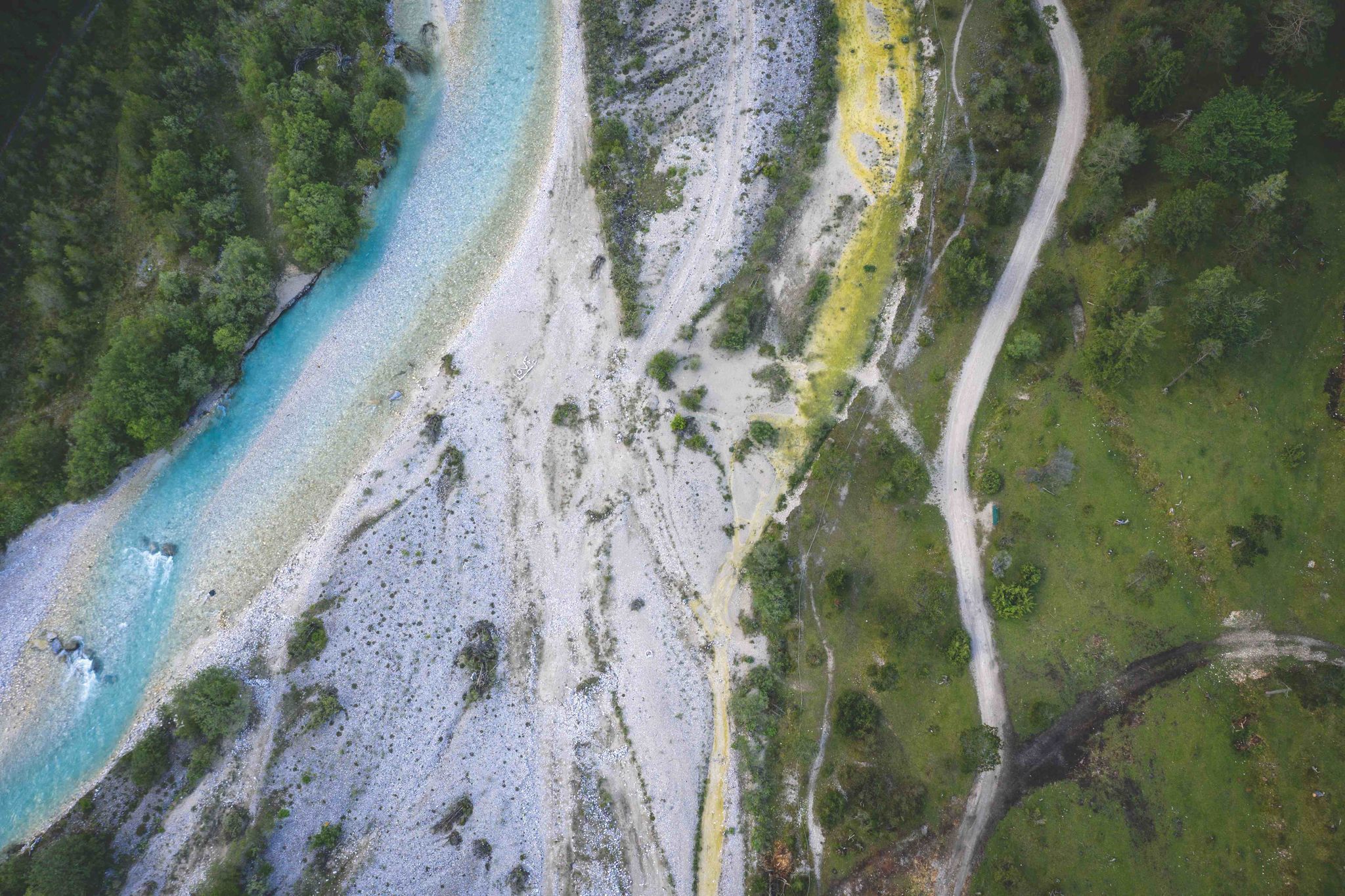
Tyrol/Bavaria: Gravel tour along the Isar
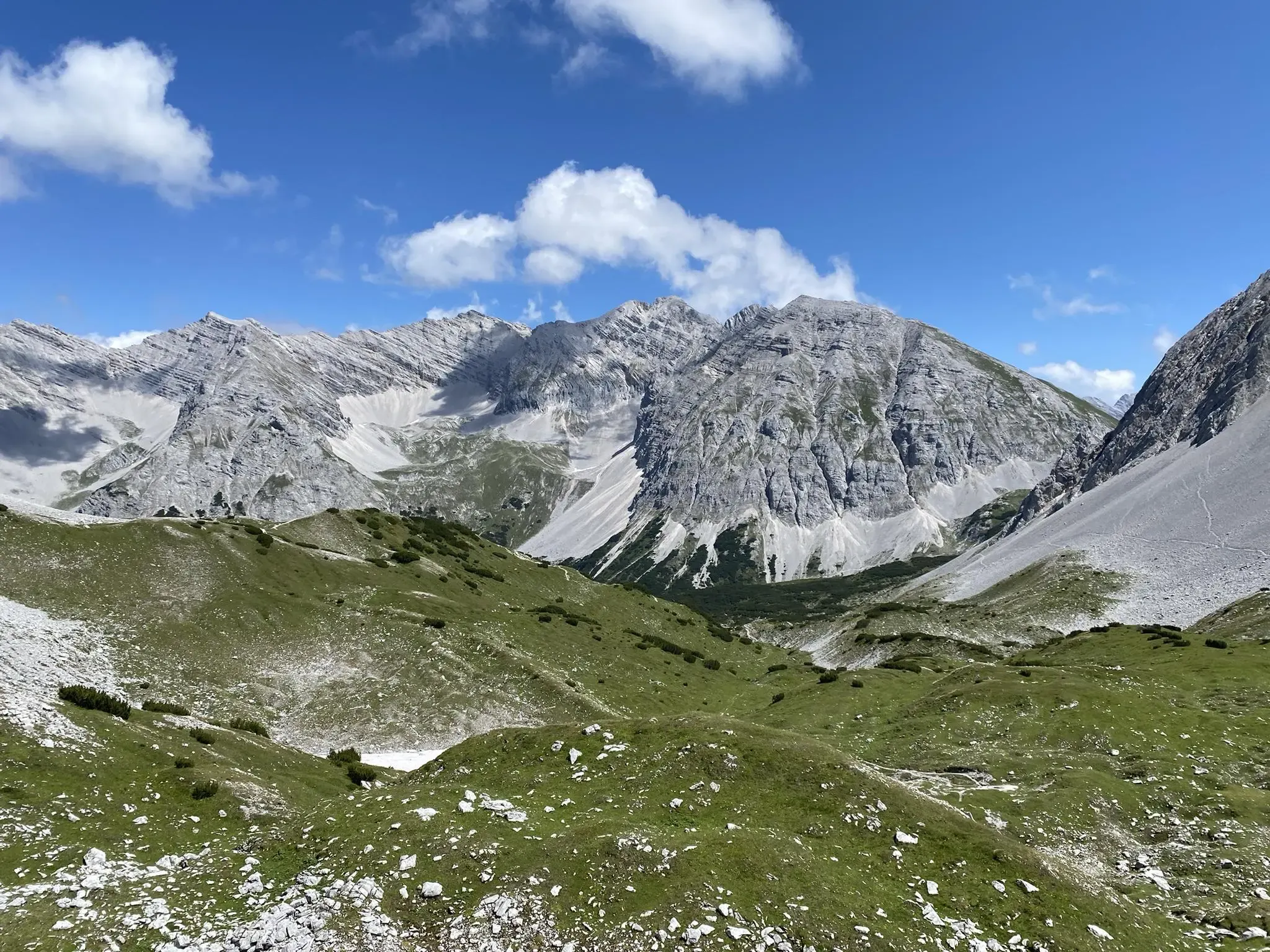
Karwendel crossing – Innsbruck to Sylvensteinspeicher
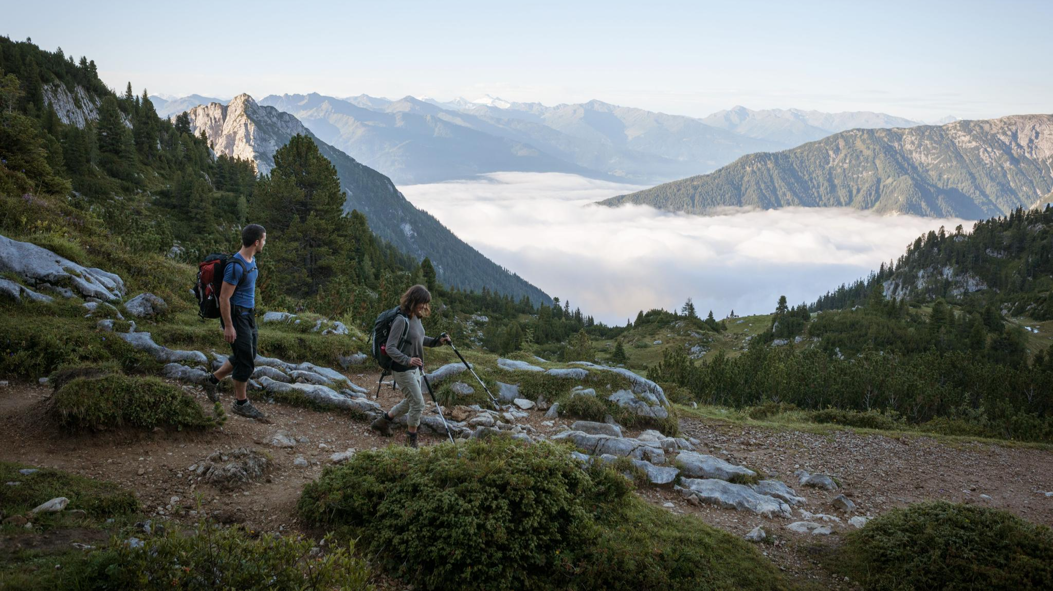
Eagle Walk – Majestic hiking along Tirol's trail
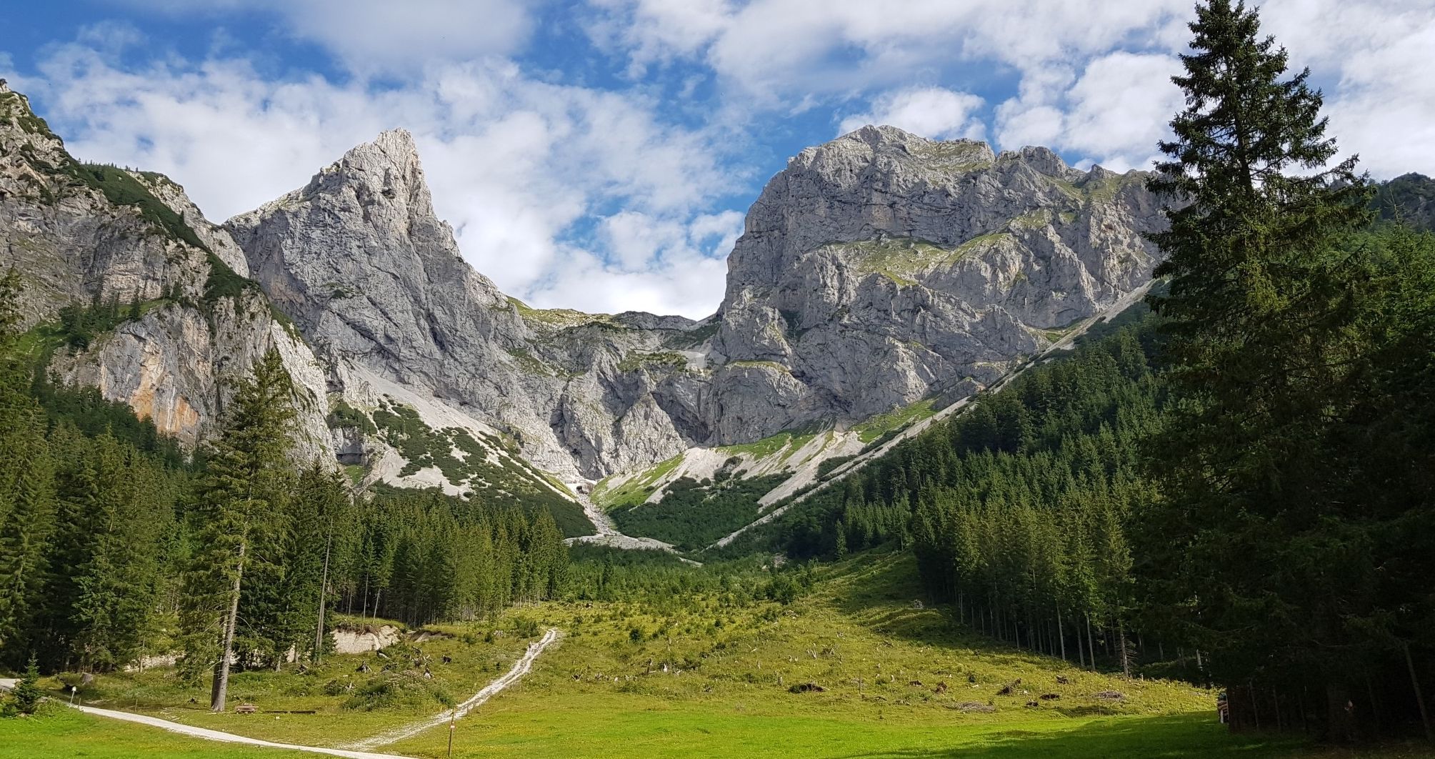
North Alpine Trail 01 – Hike across Austria in 49 days
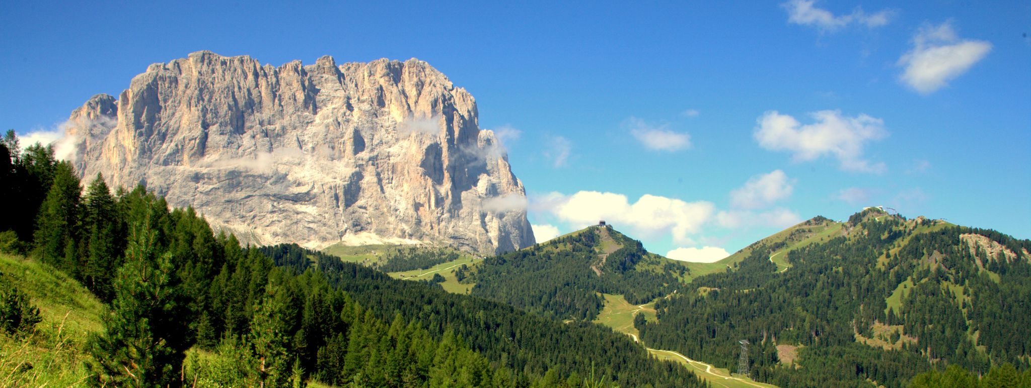
Via Venezia Alpina – hiking across the Alps to the Adriatic Sea
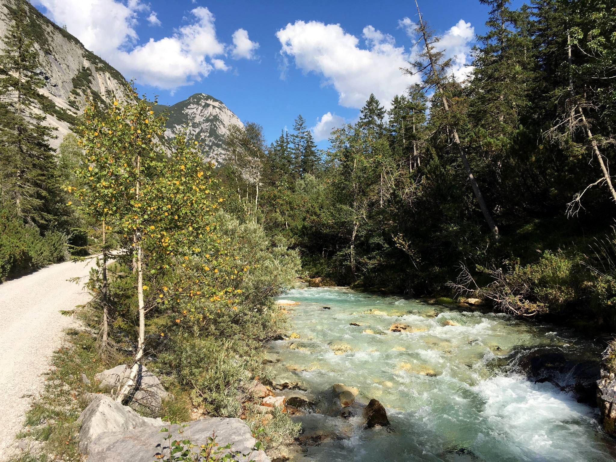
Isar cycle path — From Alpine peaks to the Auenwald (7 stages)
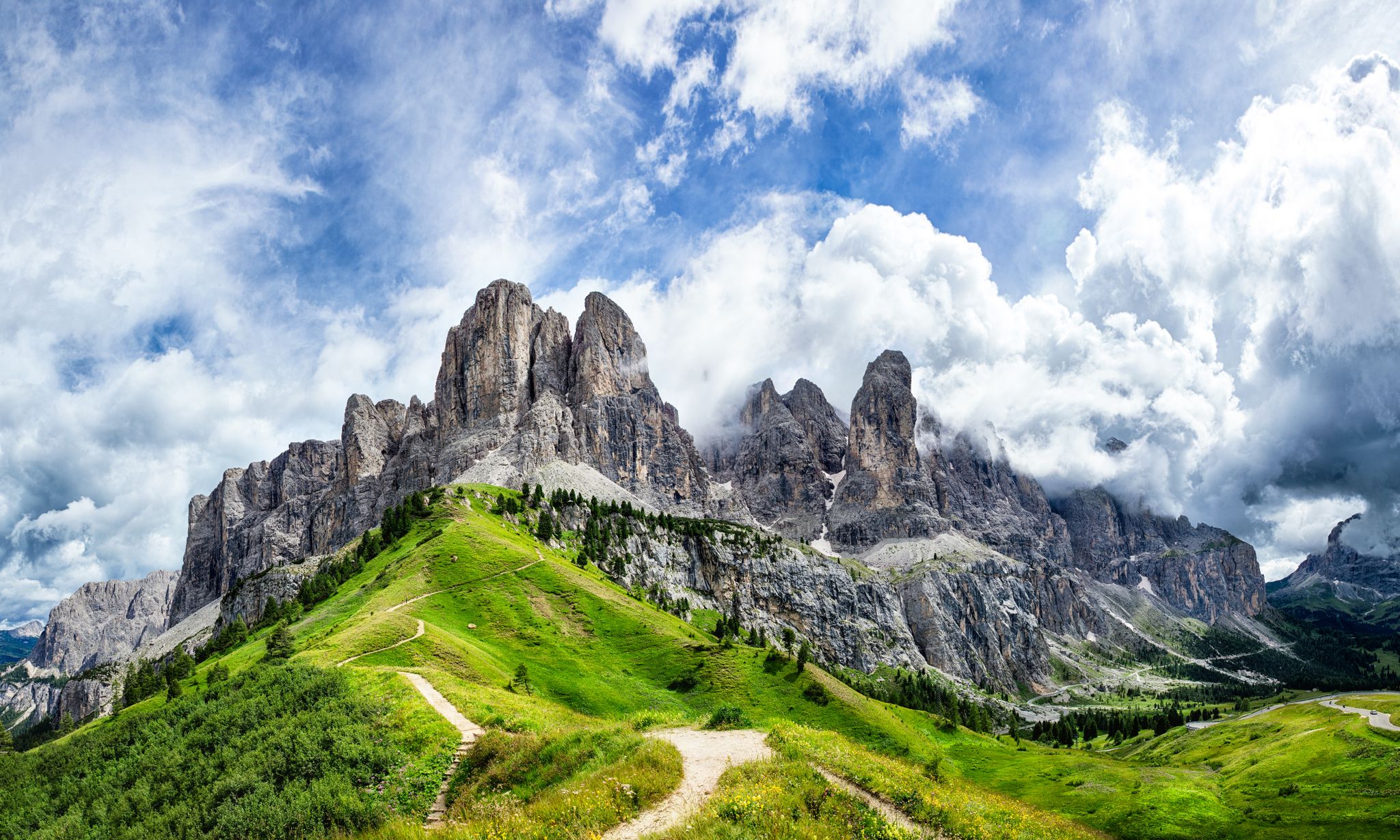
The "Dream Path" hiking trail – From Munich to Venice in 28 stages
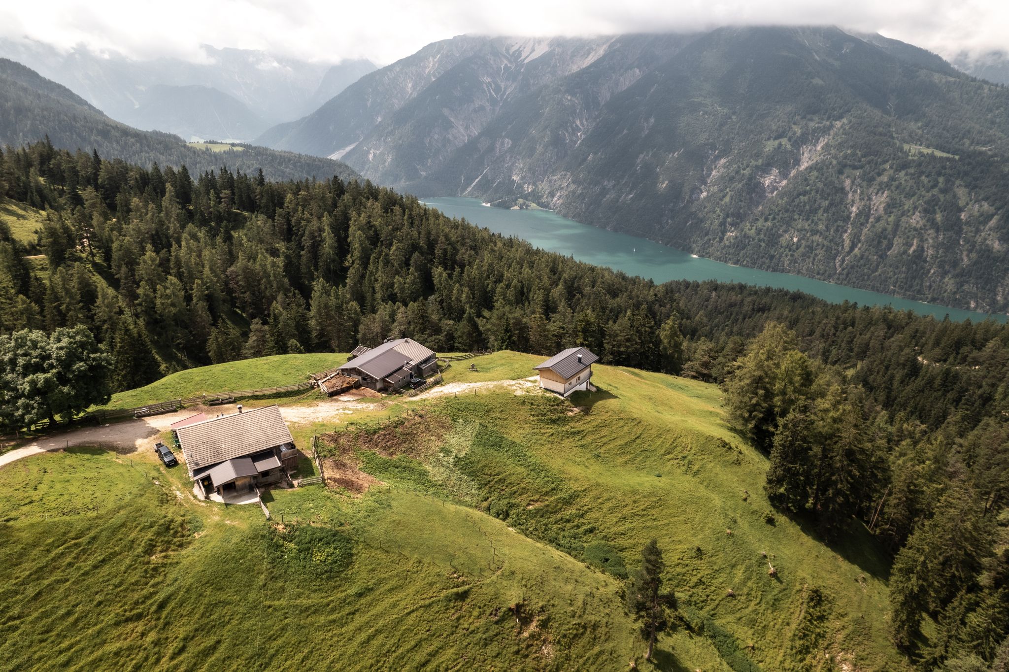
Lakes'n'Knödel – Bikepacking adventure with a taste of the Alps
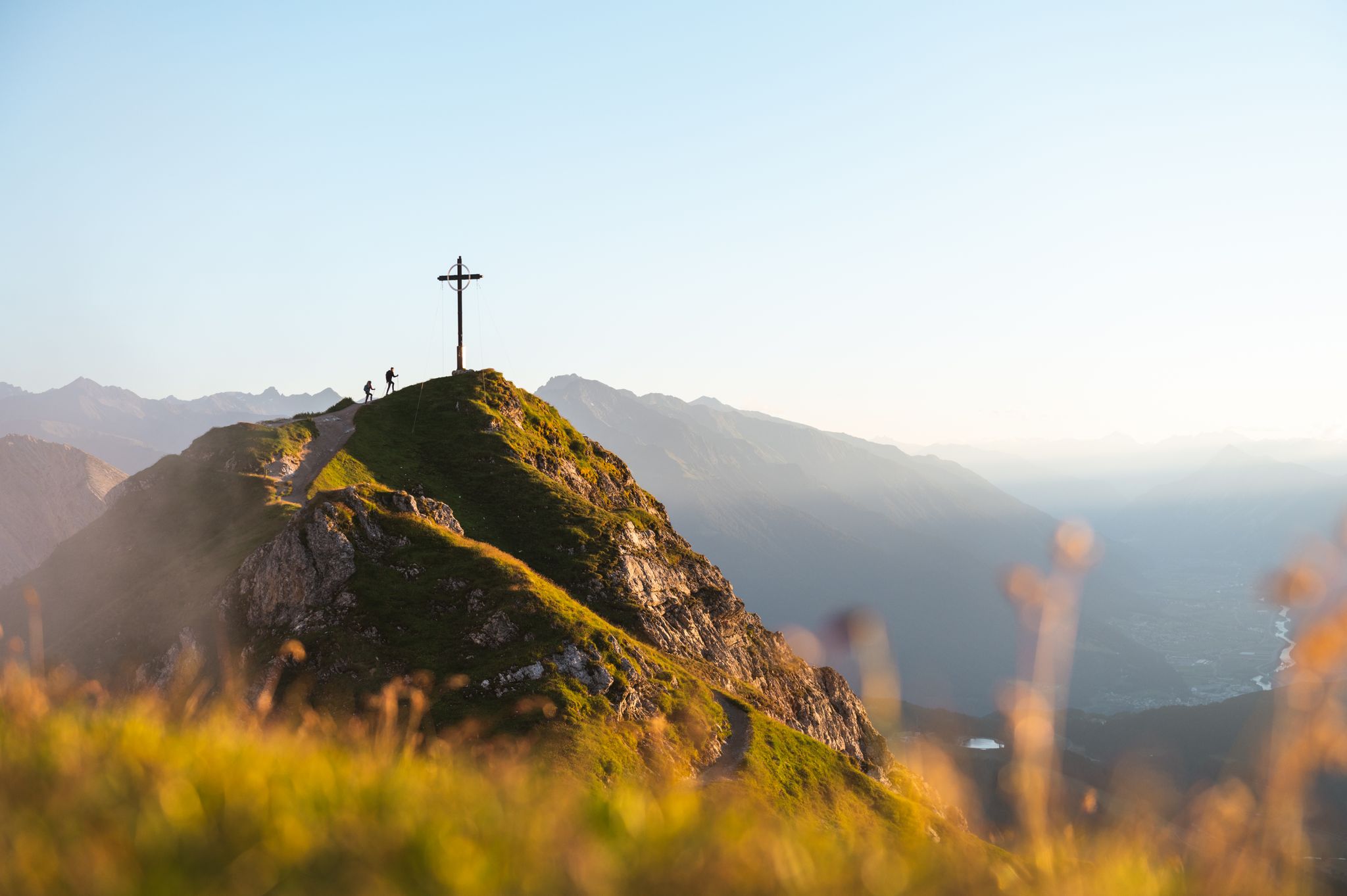
Golden trails and vast views – autumn hiking in the Seefeld region
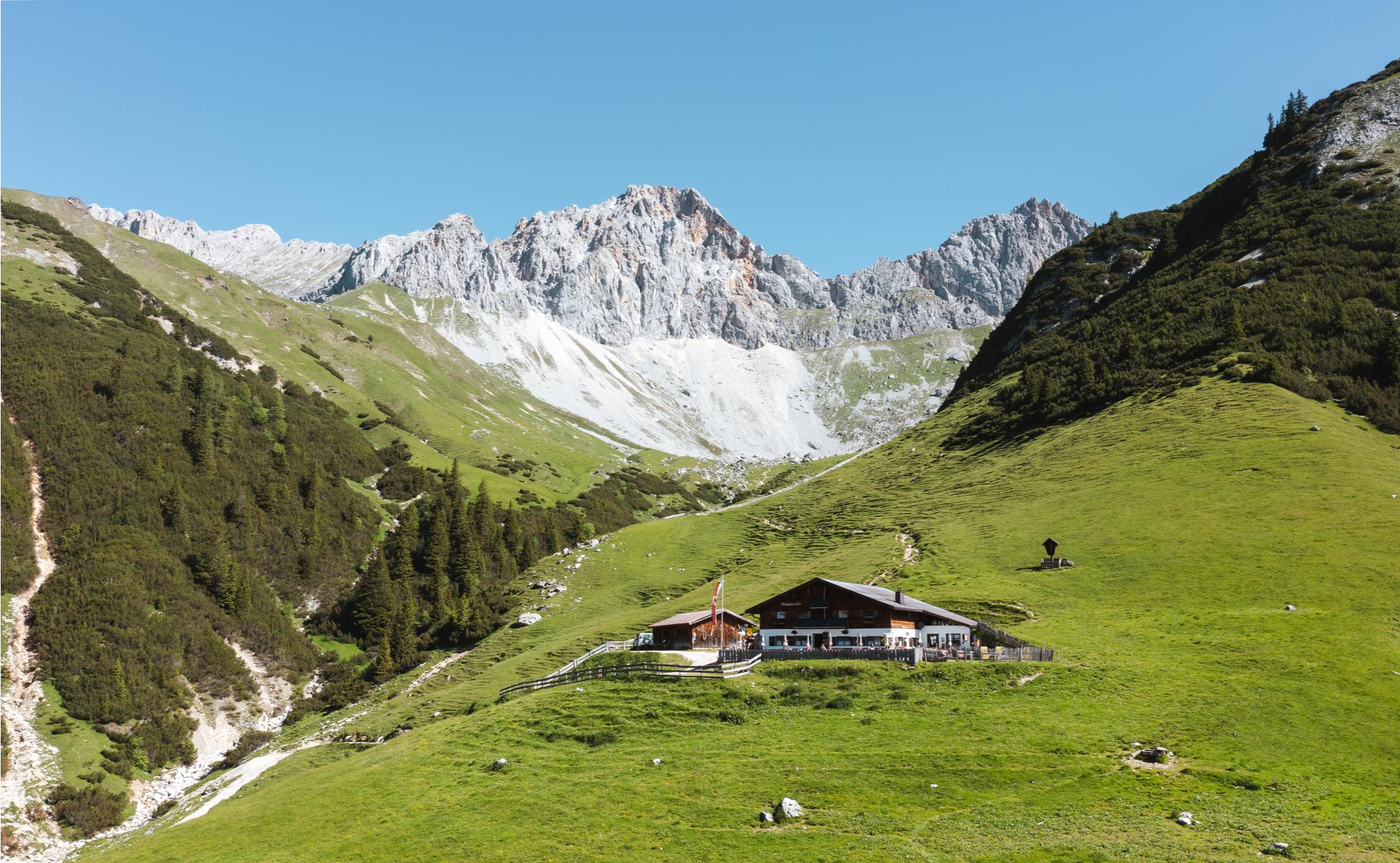
Alpine pasture hiking in the Seefeld region
Other adventures around Scharnitz


Tips from the Community

The turquoise-green shimmering river flows through the city from west to east and is framed on both sides by historic buildings as well as the impressive mountain backdrop of the Tyrolean Alps.
6
0
The bridge was named after the French general Émile Béthouart, who served as High Commissioner of the French occupation zone in Austria after the Second World War. The naming commemorates his contribution to reconstruction and to German-French-Austrian understanding.
5
0

In winter, by bike, it's better to travel on Zwift
0
0

Inn - Three Countries - One River The Inn River connects Switzerland, Austria, and Germany. It rises in the Swiss Engadine, flows through parts of Austria and Bavaria, and flows into the Danube near Passau. Its catchment area, at over 26,000 square kilometers, is the second largest in Austria. Numerous settlements have developed along its course. The Inn River is the central lifeline of these regions. The Inn River rises at an altitude of 2,484 meters in the Swiss canton of Graubünden at the Lunghin Pass near Maloja, near Lake Lunghin. From there, it plunges as a small mountain stream almost 700 meters into the valley, where it flows into Lake Sils. On its further course, the Inn flows through Lake Silvaplana/Champère and Lake Moritz. The Flaz River flows into the Inn near the municipality of Samedan. This tributary carries large amounts of suspended solids from the Bernina Massif into the Inn. In the Lower Engadine, the Inn flows through several gorges with a significantly steeper gradient. Due to the diversion of large portions of its runoff for energy generation, the wild river has regained the character of a small mountain stream in places. Text / Source: WWF Tirol, Brixnerstrasse 4/9, Innsbruck https://www.unser-inn.at/der-inn/flusslauf/#:~:text=The Inn connects the countries of Switzerland and Austria, and, with an area of over 26,000 square kilometers, is the second largest in Austria.
15
0

The colorful houses simply put you in a good mood whatever the weather; subtle splashes of color that are simply beautiful
3
0
Beautiful view of the old town, just enjoy and let it work
2
0

Brilliant from every angle, the Hohe Munde.
0
0

Great climb, rideable almost any time of year, great view over the valley and the surrounding mountains
0
0
Frequently Asked Questions
How many traffic-free road cycling routes are available around Scharnitz?
Komoot features 4 dedicated traffic-free road cycling routes around Scharnitz. These routes are specifically curated to offer a peaceful cycling experience away from vehicle traffic, allowing you to fully immerse yourself in the stunning Tyrolean landscape.
Are there easy, traffic-free road cycling routes suitable for beginners or families in Scharnitz?
Yes, there are easy, traffic-free options perfect for beginners or families. For instance, the Leutasch Valley Scenic Road – Leutasch sign loop from Burggraben is an easy route covering about 26.5 km, offering a relaxed ride through picturesque scenery. Another easy option is the Golden Roof (Goldenes Dachl) – Innsbruck Old Town loop from Innsbruck Messe, which is around 12.7 km.
What kind of landscapes can I expect on traffic-free road cycling routes in the Scharnitz area?
The traffic-free routes around Scharnitz offer a diverse range of landscapes, primarily within the magnificent Karwendel Nature Park. You'll cycle through majestic alpine scenery, alongside crystal-clear mountain rivers like the Isar, and through dense pine forests. Many routes provide breathtaking views of the surrounding peaks and valleys, especially vibrant in autumn.
Are there any circular traffic-free road cycling routes available?
Yes, several traffic-free routes are designed as loops. For example, the Leutasch Valley Scenic Road – Lochlehn Scenic Road loop from Burggraben offers a moderate 18 km circular ride. Another option is the Inn Valley Cycle Path – Inntal Cycle Path loop from Inzing, a moderate 17.5 km loop that allows you to return to your starting point without retracing your path.
What attractions or points of interest can I see along traffic-free road cycling routes near Scharnitz?
While enjoying traffic-free cycling, you can discover several natural and historical points of interest. The region is rich in natural monuments such as the Leutasch Gorge Panoramic Bridge and the Wild Isar Valley. You might also pass by beautiful bodies of water like Lake Ferchensee. For those interested in history, the ruins of Porta Claudia are nearby.
Where can I find refreshments or places to rest along the traffic-free routes?
Many routes in the Scharnitz area pass by traditional huts and inns where you can stop for refreshments. While specific routes may vary, popular spots include the Wildmoos Alm and the Karwendelhaus, which offer opportunities to refuel and enjoy local cuisine amidst stunning scenery.
What is the best time of year for traffic-free road cycling in Scharnitz?
The best time for traffic-free road cycling in Scharnitz is generally from spring through autumn. The Karwendel Nature Park is particularly vibrant in autumn when the forests display brilliant colors. Summer offers pleasant temperatures, while spring brings blooming landscapes. Always check local weather conditions before heading out.
Are there any challenging traffic-free road cycling routes for experienced cyclists?
While this guide focuses on traffic-free routes, some offer moderate challenges. The Steep Ascent to Hochzirl – Kalvarienberg Church (Zirl) loop from Zirl, for example, is a moderate route with significant elevation gain over its 7.4 km, providing a good workout for more experienced riders seeking a car-free ascent.
What do other road cyclists say about the traffic-free routes in Scharnitz?
The traffic-free road cycling routes around Scharnitz are highly rated by the komoot community, with an average score of 4.5 stars from over 1000 ratings. Cyclists often praise the tranquility, the stunning natural beauty of the Karwendel Nature Park, and the well-maintained paths that allow for a peaceful and enjoyable ride away from vehicle noise.
Are there any routes that follow rivers or lakes without traffic?
Yes, the region offers routes that hug natural waterways. The Hinterautal valley, for instance, provides a scenic route leading directly alongside the Isar River towards its source, offering a mostly flat and traffic-free experience with stunning mountain backdrops. Nearby lakes like Walchensee and Sylvenstein Reservoir are also incorporated into various cycling routes, providing beautiful waterside stretches.
Where can I park my car to access traffic-free road cycling routes in Scharnitz?
Scharnitz, as the 'Gateway to the Karwendel Nature Park,' offers various parking options to access the routes. Many routes start from or near villages like Burggraben or Zirl, where public parking is typically available. It's advisable to check specific starting points for each route for the most convenient parking facilities.
Most popular routes around Scharnitz
Most popular attractions around Scharnitz

Get inspired with the komoot mobile app


Explore more
Browse the best Road cycling routes in other regions.
