The best traffic-free bike rides around Ottensheim
4.6
(902)
29,394
riders
164
rides
No traffic road cycling routes around Ottensheim are primarily situated within the Danube Valley, offering a mix of flat terrain along the river and more challenging ascents into the Mühlviertel region. The landscape is characterized by the Danube River, green Eferding Basin, and surrounding forests. This area provides diverse cycling environments, from riverside paths to routes with significant elevation changes.
Best no traffic road cycling routes around Ottensheim
- The most popular no traffic road cycling route is Danube Cycle Path South Bank – Schlögen Loop loop from Achleitnersiedlung, a 59.3 miles (95.4 km) trail that takes 4 hours 3 minutes to complete. This moderate route follows the renowned Danube Cycle Path, offering extensive riverside cycling.
- Another top favourite among local road cyclists is Eidenberg Village – View of the Ottenheim Ferry loop from Ottensheim, a moderate 19.5 miles (31.3 km) path. This route features notable elevation gain, providing panoramic views over the landscape and the Ottenheim Ferry.
- Local road cyclists also love the Ottensheim Castle – Section Gstocket Danube Cycle Path loop from Walding, a 23.8 miles (38.2 km) trail leading through the Danube Valley, often completed in about 1 hour 37 minutes.
- Road cycling around Ottensheim is defined by the Danube River, the green Eferding Basin, and the rolling hills of the Mühlviertel. The network offers options for various ability levels, from easy riverside rides to more demanding climbs.
- The routes in Ottensheim are highly rated by the komoot community with an average score of 4.5 stars from over 230 reviews. More than 7,500 road cyclists have used komoot to explore Ottensheim's varied terrain.
Last updated: July 10, 2026
4.6
(38)
1,217
riders
96.1km
04:05
600m
600m
Moderate road ride. Good fitness required. Mostly well-paved surfaces and easy to ride.
28
riders
31.3km
02:04
770m
770m
Moderate road ride. Good fitness required. Mostly well-paved surfaces and easy to ride.

Sign up for free
4.0
(2)
29
riders
38.5km
01:38
100m
100m
Easy road ride. Great for any fitness level. Mostly well-paved surfaces and easy to ride.
4.0
(1)
39
riders
58.9km
02:43
370m
370m
Moderate road ride. Good fitness required. Mostly well-paved surfaces and easy to ride.
5.0
(1)
25
riders
Easy road ride. Great for any fitness level. Mostly well-paved surfaces and easy to ride.
Get access to more routes and recommendations from other explorers.
Sign up for free
Already have an account?
Our route recommendations are based on thousands of hikes, rides, and runs completed by other people on komoot.
Start today with a free account
Your next adventure awaits.
Login or Signup
Popular around Ottensheim

Danube Trail – Legendary long-distance hiking along the Danube River

E-bike Tours in the Danube region in Upper Austria

The most beautiful leisurely cycling routes in Upper Austria

Simply amazing – 13 hikes along the Donausteig
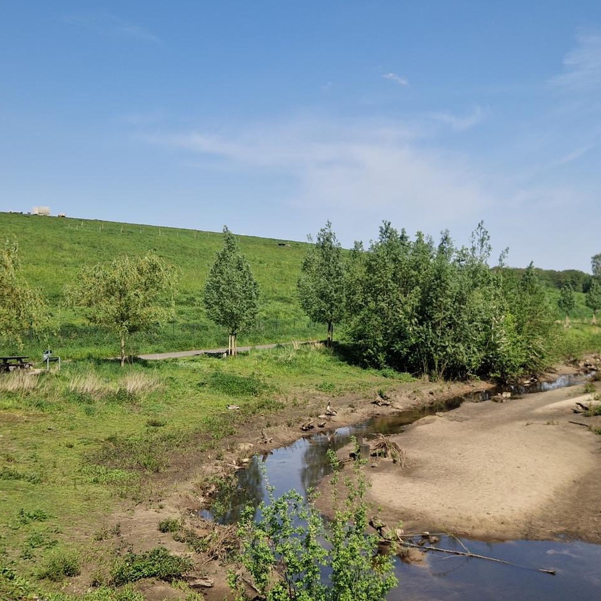
Traffic-free bike rides around Ottensheim
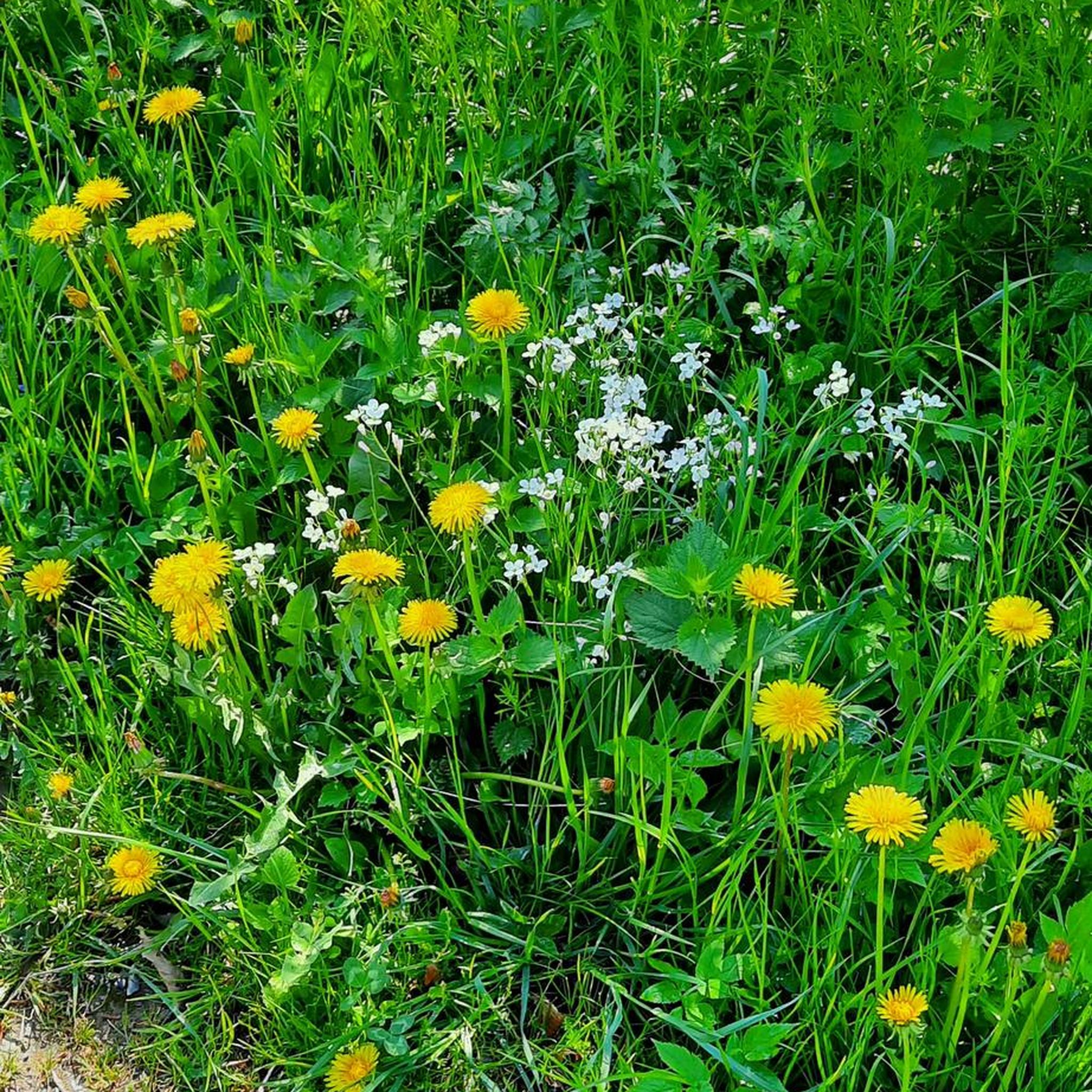
Traffic-free bike rides around Ottensheim
Other adventures around Ottensheim


Tips from the Community

Aschach an der Donau is one of those places that you visit and immediately feel like you are in a postcard. It is one of the oldest and most charming market towns in Upper Austria (Eferding district) and is located directly on the great Danube loop. For centuries, Aschach was an important hub for shipping and trade. This is still reflected in the townscape today. The row of houses directly on the Danube promenade largely dates from the 16th century (Renaissance and Baroque). The facades are magnificently restored and a popular photo motif.
0
0

The parish church, which bears the name of St. Giles, is a building that cannot be overlooked.
6
1

Ottensheim is a market town in Upper Austria in the district of Urfahr-Umgebung in the upper Mühlviertel region.
0
0

Ottensheim-Wilhering Power Plant and Lock! This impressive facility on the Danube plays an important role in energy generation and shipping. Here are some interesting aspects: ### General Information - **Location**: The power plant and lock are located in the municipality of **Wilhering** in **Upper Austria**. - **Year of Construction**: The power plant was built from **1970 to 1975** and is a run-of-river power plant. ### Technical Features 1. **Lock**: - The lock has **two lock chambers** measuring **230 × 24 m**. - It allows ships to pass through and overcomes the height difference in the river. 2. **Power Plant**: - The power plant has an **capacity** of approximately **30 MW** and uses the current of the Danube to generate electricity. - It is part of a project with **72 million euros** being invested to ensure the lifespan and efficiency of the power plant for another **50 years**. 3. **Water level**: - The river dam length is **16 km**, and the dam target is at an altitude of approximately **250 m**. ### Significance - **Energy generation**: The power plant contributes significantly to the region's electricity supply and is an important component of renewable energy sources in Austria. - **Shipping**: The lock is a central point for inland navigation on the Danube, enabling the transport of goods and passengers. ### Summary The **Ottensheim-Wilhering power plant and lock** are not only technical masterpieces, but also crucial elements for the energy supply and shipping in the region. A visit to this facility offers exciting insights into the world of hydropower and engineering! ✨
2
0

Many cafes and restaurants along the Danube, perfect for a break on your bike tour.
1
0
The rest areas consist of an exposed concrete column reminiscent of a Roman milestone.
6
0
One of 20 Roman rest areas on the Danube Cycle Path in Upper Austria
6
0

beautiful little town on the Danube
1
0
Frequently Asked Questions
How many no-traffic road cycling routes are available around Ottensheim?
There are over 170 dedicated no-traffic road cycling routes around Ottensheim listed on komoot. These routes cater to various skill levels, with 29 easy, 99 moderate, and 42 difficult options.
What kind of terrain can I expect on no-traffic road cycling routes in Ottensheim?
Routes in Ottensheim offer diverse terrain. Many follow the Danube Cycle Path, providing mostly flat, paved surfaces ideal for leisurely rides. For more challenging options, routes extend into the Mühlviertel region, featuring greater elevation changes and scenic climbs.
Are there any easy, no-traffic road cycling routes suitable for beginners in Ottensheim?
Yes, Ottensheim offers several easy, no-traffic road cycling routes perfect for beginners. An excellent option is the Ottensheim Castle – View of the Ottenheim Ferry loop from Ottensheim, which is about 16 km long with minimal elevation gain, offering a pleasant ride along the Danube.
What are some moderate no-traffic road cycling routes for more experienced cyclists?
For those seeking a moderate challenge, routes like the Schaunberg Castle Ruins – Aschach on the Danube loop from Ottensheim offer a good balance of distance and elevation. This route covers approximately 58 km with around 367 meters of ascent, taking you through varied landscapes.
Can I find longer, more challenging no-traffic road cycling routes near Ottensheim?
Absolutely. For a significant challenge, consider the Danube Cycle Path South Bank – Schlögen Loop loop from Achleitnersiedlung. This route spans over 95 km with nearly 600 meters of elevation gain, providing a demanding yet rewarding experience along the scenic Danube.
What landmarks or points of interest can I see along the no-traffic road cycling routes?
Many routes offer scenic views and pass by interesting landmarks. You can cycle past historic sites like Linz Castle or enjoy the panoramic View of Ottensheim and Ottensheim Castle. The Danube power plant also provides notable views along the river.
Are there any family-friendly no-traffic road cycling routes in Ottensheim?
Yes, the mostly flat sections of the Danube Cycle Path are very family-friendly. Routes like the "Ottensheim Market Square – Feldkirchen Bathing Lake loop" (mentioned in regional research) are ideal, offering easy, paved surfaces and minimal elevation, often leading to pleasant spots like Feldkirchen Bathing Lake.
What do other road cyclists enjoy most about no-traffic cycling in Ottensheim?
The area is highly rated by the komoot community, with an average score of 4.5 stars from over 230 ratings. Reviewers often praise the peaceful, car-free sections of the Danube Cycle Path, the stunning views of the Danube Valley, and the variety of routes catering to all fitness levels.
Are there any circular no-traffic road cycling routes available?
Yes, many of the no-traffic road cycling routes around Ottensheim are designed as loops, allowing you to start and end at the same point. For example, the Ottensheim Castle – Section Gstocket Danube Cycle Path loop from Walding is an easy 38 km circular route.
What is the best time of year for no-traffic road cycling in Ottensheim?
The best time for road cycling in Ottensheim is generally from spring to autumn (April to October). During these months, the weather is pleasant, and the natural landscapes of the Danube Valley and Mühlviertel are at their most beautiful. The Danube Cycle Path is well-maintained and enjoyable throughout this period.
Is public transport available to reach the no-traffic road cycling routes, especially with a bike?
Yes, Ottensheim is well-connected. The Danube bus provides a convenient connection between Ottensheim and Linz Urfahr, and it's generally possible to transport bikes on regional public transport, though it's always advisable to check specific operator rules and capacity during peak times.
Are there any routes that offer significant elevation for training?
For cyclists looking for significant elevation, routes extending north into the Mühlviertel region are ideal. The Eidenberg Village – View of the Ottenheim Ferry loop from Ottensheim, for instance, features nearly 770 meters of ascent over 31 km, providing a challenging workout.
Most popular routes around Ottensheim
Most popular attractions around Ottensheim

Get inspired with the komoot mobile app


Explore more
Browse the best Road cycling routes in other regions.
