The best traffic-free bike rides around Sulzberg
4.6
(612)
11,799
riders
43
rides
No traffic road cycling routes around Sulzberg are situated on a plateau at nearly 1,000 meters elevation in the Bregenzerwald region of Vorarlberg, Austria. The area features well-paved roads that navigate both gentle climbs and challenging passes. Cyclists can expect diverse landscapes, including expansive panoramic views of the surrounding mountains, the Allgäu region, and Lake Constance. The terrain includes valley floors suitable for exploration and higher elevations offering varied road cycling experiences.
Best no traffic road cycling routes around Sulzberg
…Last updated: July 10, 2026
5.0
(1)
43
riders
34.8km
02:06
880m
880m
Moderate road ride. Good fitness required. Some segments of this route may be unpaved and difficult to ride.
5.0
(3)
58
riders
44.2km
02:13
730m
730m
Moderate road ride. Good fitness required. Mostly well-paved surfaces and easy to ride.

Sign up for free
4.5
(2)
17
riders
59.0km
02:49
780m
780m
Moderate road ride. Good fitness required. Mostly well-paved surfaces and easy to ride.
5.0
(1)
14
riders
18.8km
01:02
350m
350m
Moderate road ride. Good fitness required. Mostly well-paved surfaces and easy to ride.
10
riders
13.6km
00:45
290m
290m
Easy road ride. Great for any fitness level. Mostly well-paved surfaces and easy to ride.
Get access to more routes and recommendations from other explorers.
Sign up for free
Already have an account?
Our route recommendations are based on thousands of hikes, rides, and runs completed by other people on komoot.
Start today with a free account
Your next adventure awaits.
Login or Signup
Popular around Sulzberg

Min Weag long-distance hiking trail – From Lake Constance to the Alps
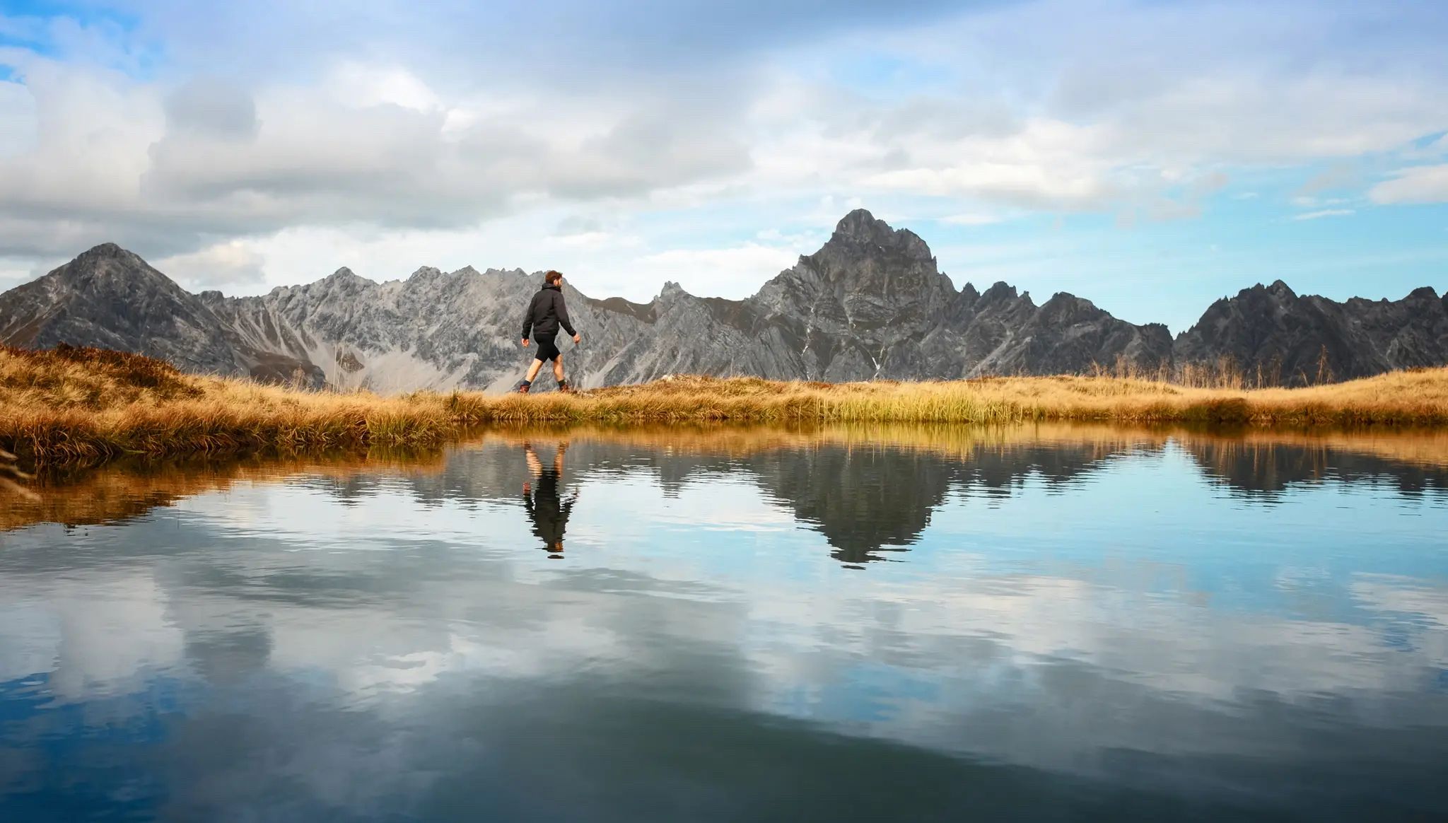
Golden season – autumn hikes in Vorarlberg
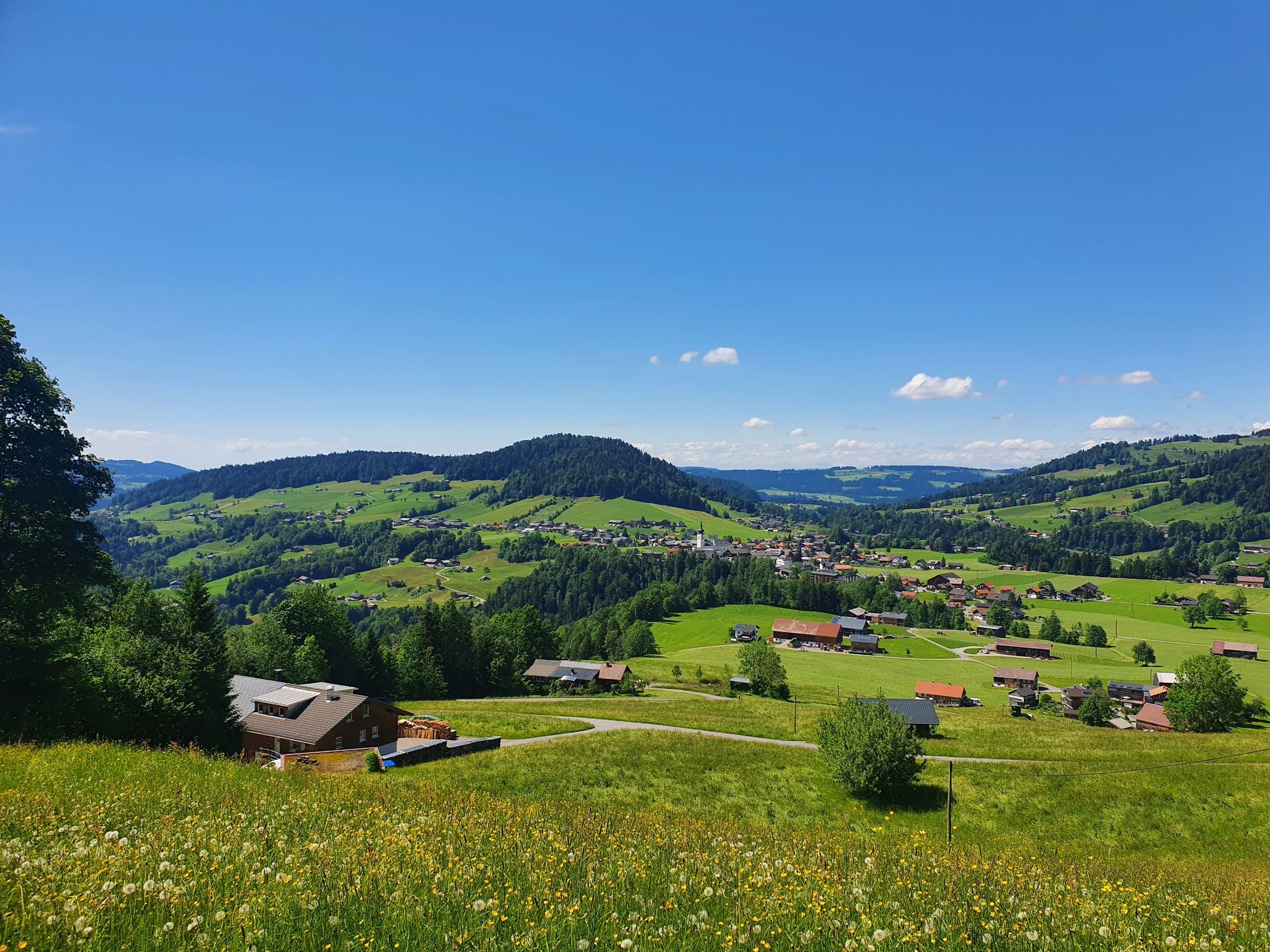
A feast for your eyes and stomach in Vorarlberg – Bregenzerwald Cheese Trail
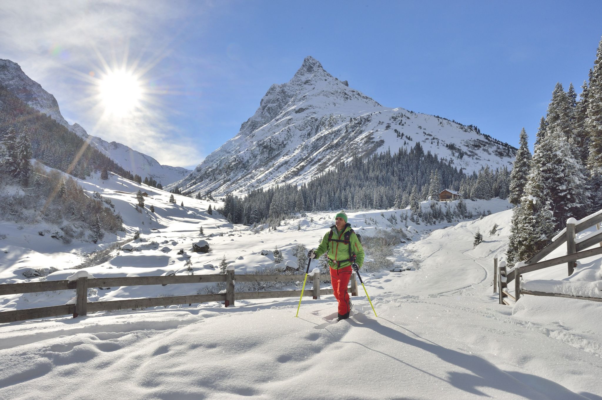
Find the snow! Winter hiking in Vorarlberg and on the Arlberg in Austria
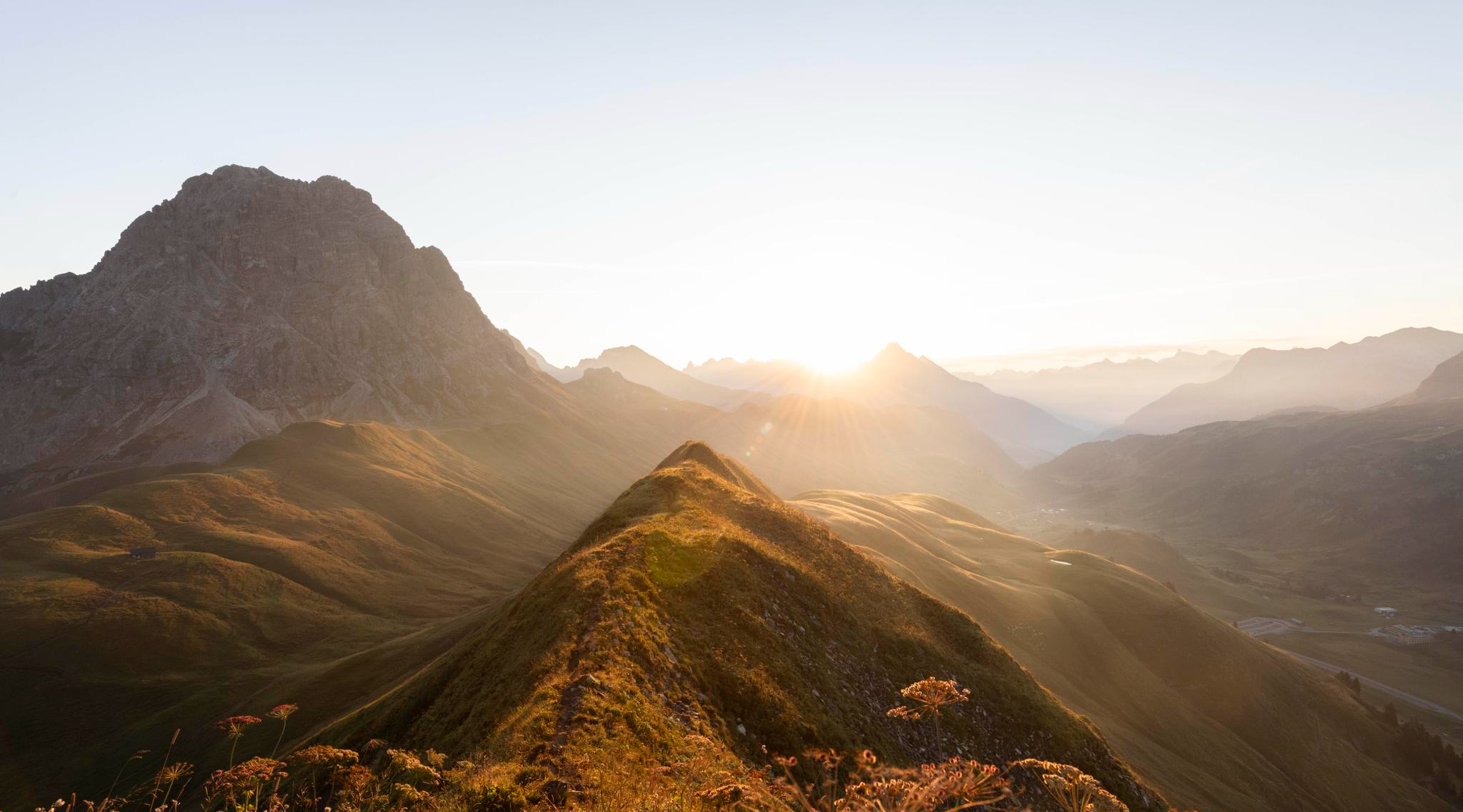
Hoch hinaus im Herbst – Wanderungen im Bregenzerwald
Traffic-free bike rides around Sulzberg
Traffic-free bike rides around Sulzberg
Other adventures around Sulzberg


Tips from the Community

Coming from Oberreute it is the easy ascent
0
0

Lourdes Grotto and panoramic view of Deuchelried and Wangen
0
0
Lourdes grotto and panoramic view over Deuchelried / Wangen
0
0

From Sulzberg, a sweeping view opens up across the Allgäu Alps and over to the Bregenzerwald. The panorama is particularly impressive on a clear day, with striking peaks and rolling hills in the foreground. An ideal spot for a short break and a great photo.
3
0
The town center of Weiler im Allgäu is compact, well-maintained, and ideal for a short break. Between the market square, fountain, and small shops, you can easily interrupt your tour. If you like, you can quickly find something to drink or pop into a café.
1
0

The parish church of St. Anton in Balderschwang, located at 1,044 meters, is one of the highest parish churches in Germany. It is known to many people through Radio Horeb, which broadcasts from here.
8
0
The present-day parish church of St. Blasius in Weiler im Allgäu was built in 1795/96 as a Neoclassical church by Johann Georg Specht. The chancel tower dates back to the 14th century. The frescoes inside the church are particularly striking; they are by Andreas Brugger (1796/97). I found the church portal facing the cemetery open.
7
0

The parish of Weiler was probably established as early as the 9th century; it has been documented since 1275. A parish church has stood in Weiler since at least the 14th century, and its high altar was probably dedicated to the martyr St. Blaise as early as the High Middle Ages. The new parish church of St. Blaise was built on the site of the old church between 1795 and 1797.
0
0
Frequently Asked Questions
How many no-traffic road cycling routes are available around Sulzberg?
There are over 45 dedicated no-traffic road cycling routes around Sulzberg, offering a wide range of options for different fitness levels and preferences.
Are there easy no-traffic road cycling routes suitable for beginners or families in Sulzberg?
Yes, Sulzberg offers several easy no-traffic road cycling routes. For instance, the Weiler im Allgäu Town Center – Simmerberg Village loop from Oberreute is an easy option, covering about 13.6 km with moderate elevation gain. The region's valley floors, like those in the Bregenzerwald, also provide gentler terrain.
What kind of terrain and elevation can I expect on no-traffic road cycling routes in Sulzberg?
Sulzberg, situated on a plateau at nearly 1,000 meters, offers routes with varied terrain. You'll find well-paved roads featuring both gentle climbs and challenging passes. Routes can range from moderate, like the View of Sulzberg – Balderschwang village loop from Riefensberg with over 700 meters of elevation, to more demanding options with significant ascents.
What are the best times of year for no-traffic road cycling in Sulzberg?
The best time for road cycling in Sulzberg is typically from spring through autumn, when the weather is mild and the roads are clear. While Sulzberg offers winter activities like cross-country skiing, road cycling is generally most enjoyable outside of the snowy months.
Are there any circular no-traffic road cycling routes around Sulzberg?
Yes, many no-traffic road cycling routes in Sulzberg are designed as loops, allowing you to start and end at the same point. Examples include the View of Sulzberg – Scenic Cycle Path in Allgäu loop from Sulzberg or the Wangen im Allgäu Old Town – View from Siggener Höhe loop from Oberreute.
What points of interest or viewpoints can I see along the no-traffic road cycling routes?
Due to Sulzberg's elevated position, many routes offer breathtaking panoramic views of the Bregenzerwald mountains, the Allgäu region, and even Lake Constance. You might also pass traditional wooden homes in the historical town center. For specific natural features, consider exploring the nearby moorland of Wildrosenmoos. You can also find mountain passes like Lorenapass or huts such as Staufner Haus in the wider area.
What do other road cyclists enjoy most about no-traffic road cycling in Sulzberg?
The no-traffic road cycling routes around Sulzberg are highly rated by the komoot community, with an average score of 4.5 stars. Reviewers often praise the stunning panoramic views, the well-maintained roads, and the peaceful experience of cycling away from heavy traffic, especially through the picturesque Bregenzerwald landscape.
Are there options for food and drink along the no-traffic road cycling routes?
Yes, the Bregenzerwald region, including Sulzberg, is dotted with charming villages. Many routes will pass through or near places where you can find cafes, restaurants, or traditional inns (Einkehrmöglichkeiten) to refuel. Some routes may also lead past alpine huts like Alpe Neugreuth, offering refreshments.
Can I find parking near the starting points of no-traffic road cycling routes in Sulzberg?
Yes, parking is generally available in and around Sulzberg, especially in the main village or at designated trailheads. Many routes start from villages like Riefensberg or Oberreute, which typically offer parking facilities suitable for cyclists.
Are there any challenging no-traffic road cycling routes for experienced riders?
Absolutely. For experienced riders seeking a challenge, routes with significant elevation gain are available. The region's proximity to iconic pass roads in Vorarlberg, such as the Furkajoch or Riedbergpass, also means you can find demanding ascents and descents on routes like the 17% Climb Near Irsengund – View of Sulzberg loop from Oberreute.
Is public transport available to access no-traffic road cycling routes in Sulzberg?
Sulzberg is integrated into the regional public transport network of Vorarlberg. Buses connect Sulzberg with surrounding towns and villages, which can be useful for reaching starting points or returning from routes. It's advisable to check local bus schedules and bicycle transport policies in advance.
Are dogs allowed on the no-traffic road cycling routes around Sulzberg?
While many outdoor areas in the Bregenzerwald are dog-friendly, specific rules can vary. On dedicated road cycling routes, dogs are generally permitted if kept on a leash and under control. Always ensure your dog is comfortable with the distance and terrain, and carry water for them.
Most popular routes around Sulzberg
Most popular attractions around Sulzberg

Get inspired with the komoot mobile app


Explore more
Browse the best Road cycling routes in other regions.
