The best traffic-free bike rides around Rettenberg
4.5
(620)
4,627
riders
159
rides
Gravel biking around Rettenberg offers diverse routes through the green Allgäu landscape, characterized by its foothills, impressive mountains like the Grünten and Rottachberg, and idyllic green meadows. The region provides a blend of natural beauty and varied terrain suitable for gravel cycling. Riders can expect routes that navigate through valleys, past lakes, and offer views of the surrounding Alpine scenery.
Best no traffic gravel bike trails around Rettenberg
- The most popular no traffic gravel bike trail is Grüntensee – Lake…
Last updated: September 30, 2026
4.8
(16)
142
riders
71.9km
04:39
1,440m
1,440m
Hard gravel ride. Very good fitness required. Mostly paved surfaces. Suitable for all skill levels.
4.8
(9)
73
riders
53.5km
03:05
690m
690m
Hard gravel ride. Very good fitness required. Mostly paved surfaces. Suitable for all skill levels.

4.4
(5)
43
riders
47.0km
02:54
710m
710m
Hard gravel ride. Very good fitness required. Mostly paved surfaces. Suitable for all skill levels.
3.9
(9)
53
riders
14.8km
00:51
160m
160m
Moderate gravel ride. Good fitness required. Mostly paved surfaces. Suitable for all skill levels.
4.3
(4)
27
riders
Moderate gravel ride. Good fitness required. Mostly paved surfaces. Suitable for all skill levels.
Get access to more routes and recommendations from other explorers.
Already have an account?
Our route recommendations are based on thousands of hikes, rides, and runs completed by other people on komoot.
Start today with a free account
Your next adventure awaits.
Popular around Rettenberg
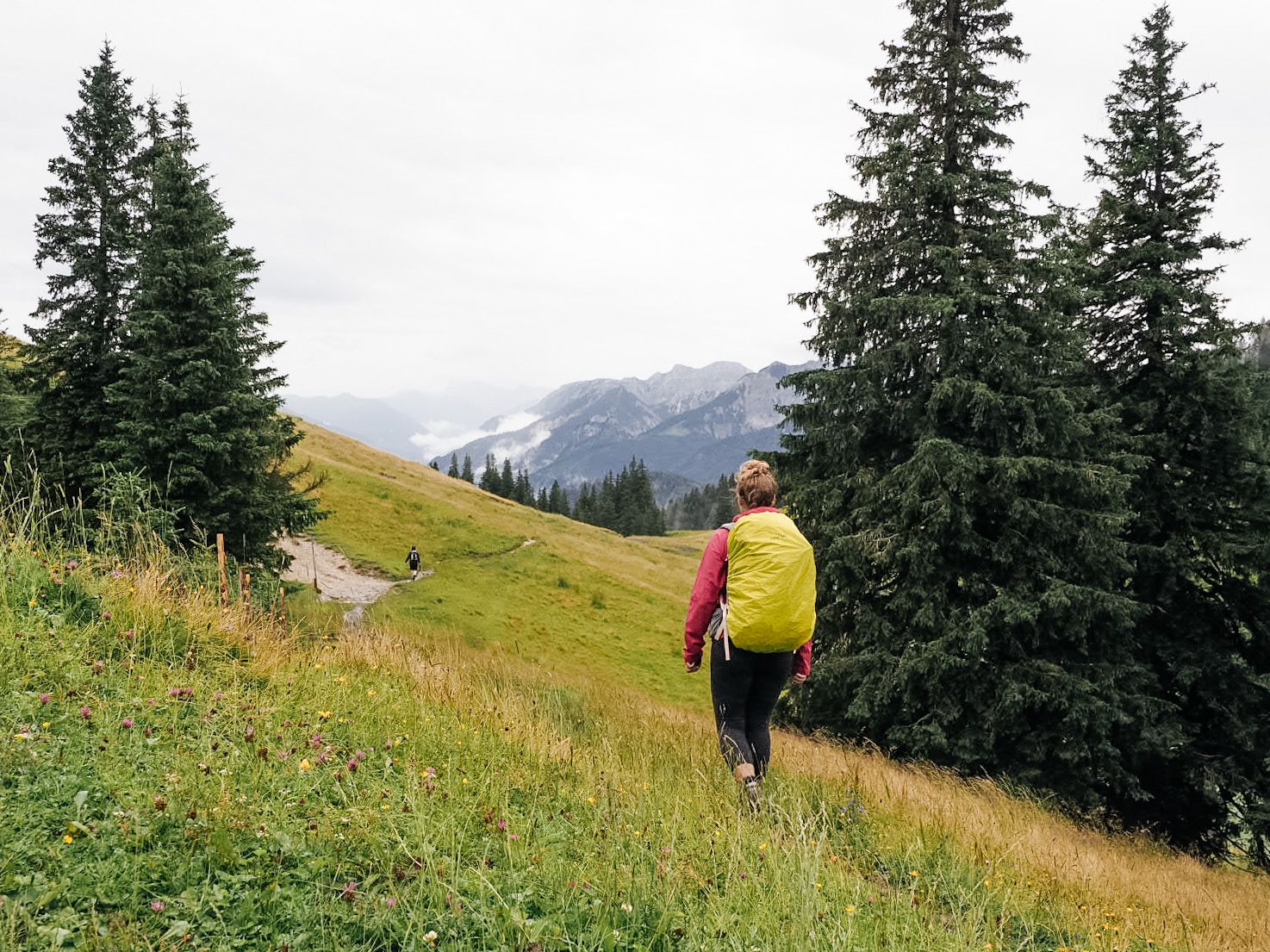
A 3-day hike in the foothills of Germany’s Allgäu Alps
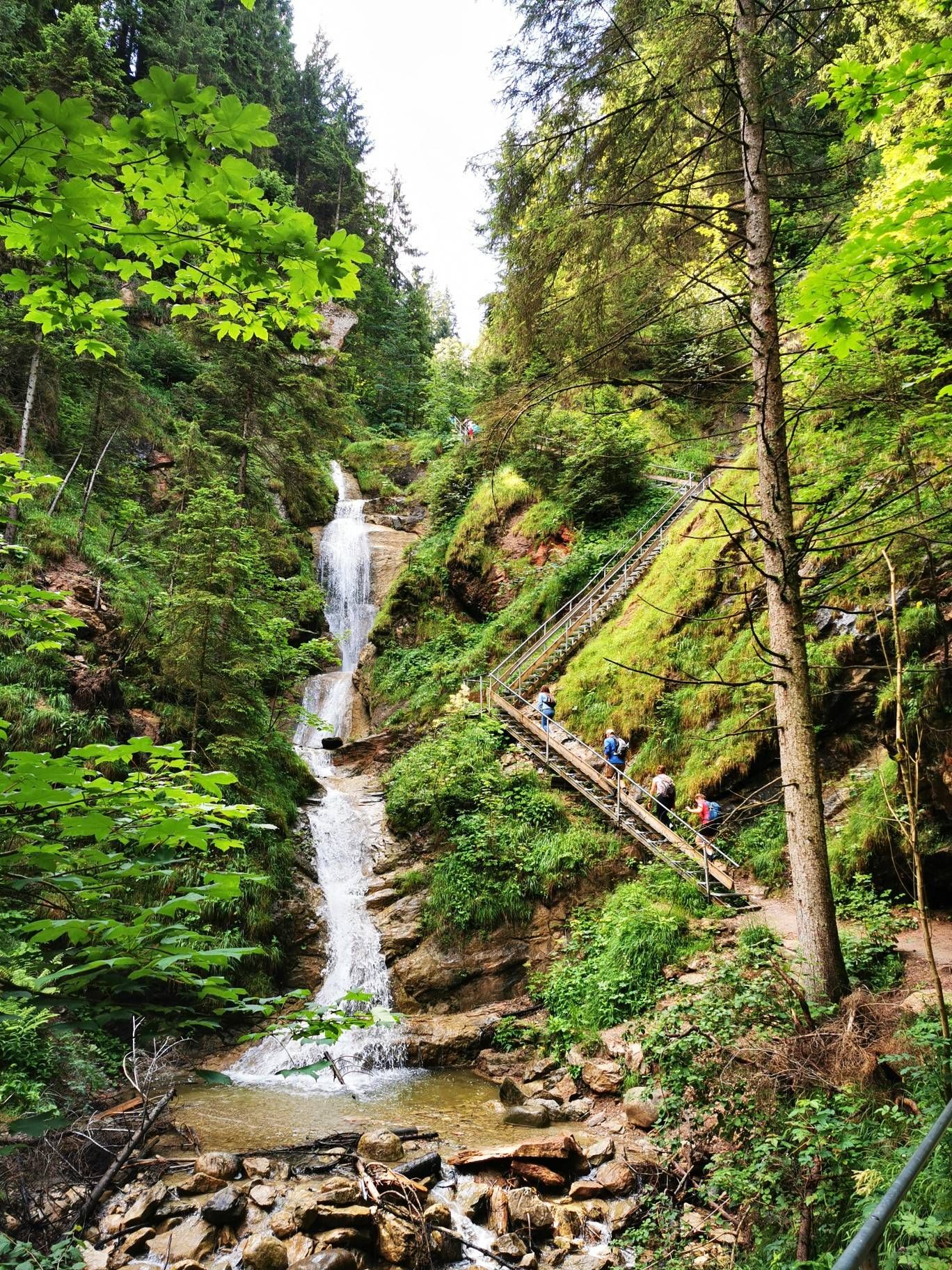
Discover Alpine lakes on the Watercourse Route – Allgäu hiking trilogy

Climbing Alpine peaks on the Route to the Top – Allgäu hiking trilogy

Triathlon around Germany
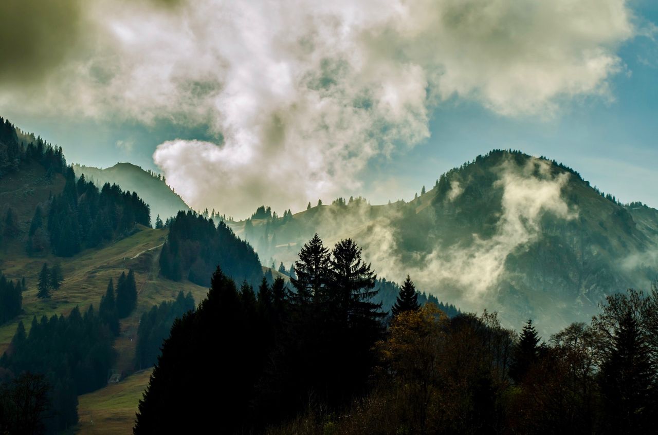
Allgäu pleasure peaks
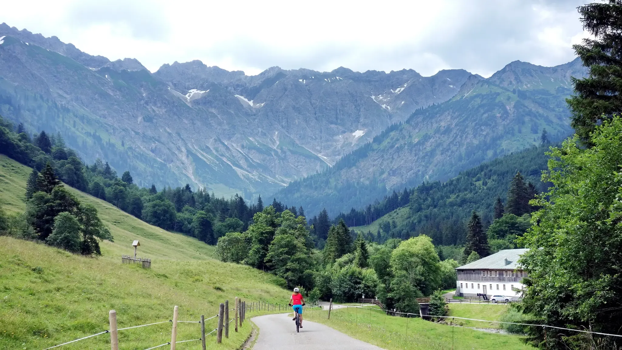
The must rides around Oberstdorf
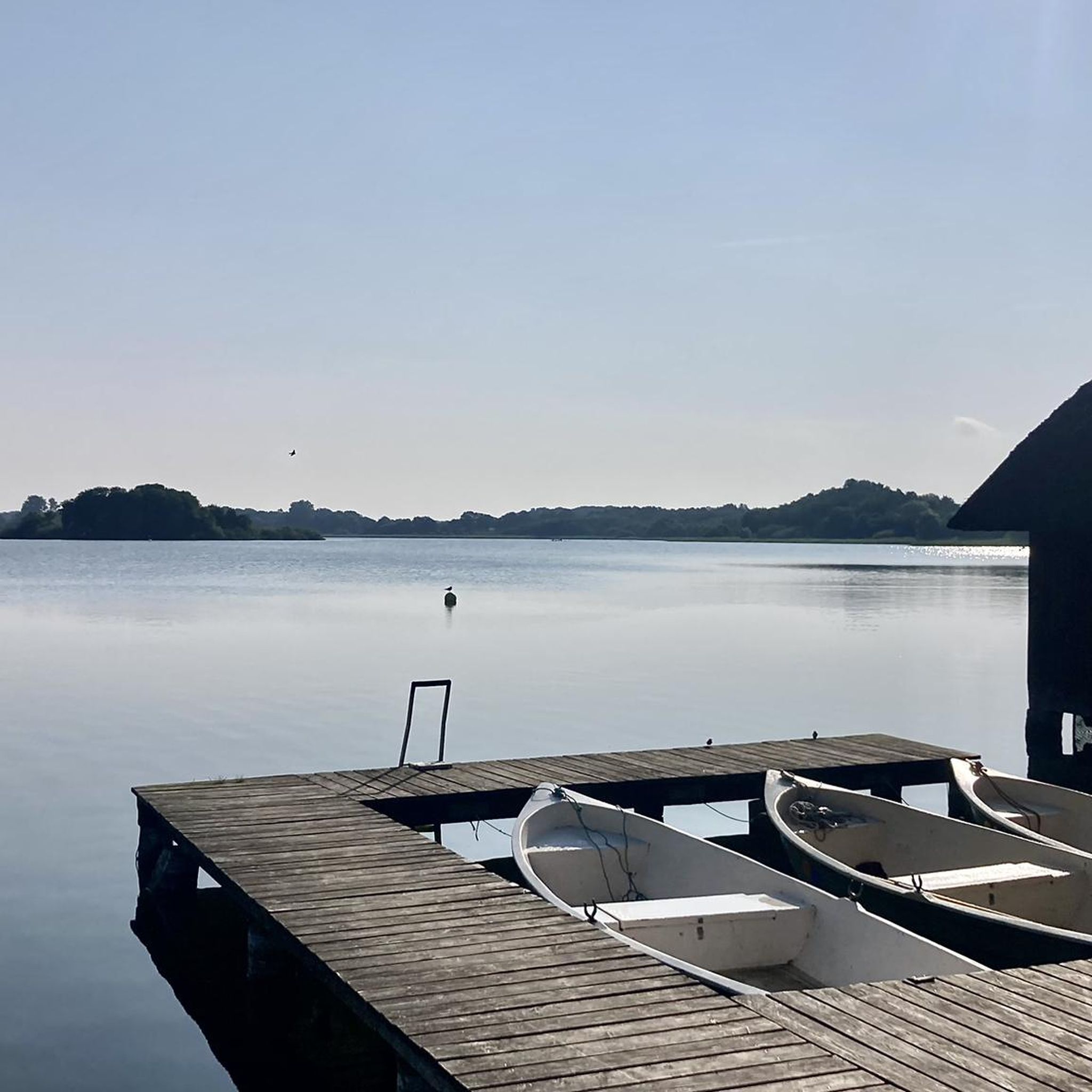
Traffic-free bike rides around Rettenberg

Traffic-free bike rides around Rettenberg
Other adventures around Rettenberg


Tips from the Community

Tastes differ and that's a good thing, but as a Kempten resident I have struck the Illerweg from Hegge via Martinszell to Stein from my list because it leads a lot through the forest and the mountain view is limited. I don't need to go to the beautiful Allgäu for routes through the forest. The route to Martinszell is one of my favorite routes.
0
0

There are people who use the path as an everyday cycle path. Every day, in all weather. If you only cycle in the best weather, you will certainly not have any major problems with the path. If you want a change in mobility here, you also need the appropriate paths for it, suitable for everyday use, suitable for all weather, and we don't have them.
0
0

A fantastically beautiful area, a tour here is really great.
0
0

Beautiful castle above Sulzberg with beautiful views
0
0
Really sad, Bububaer only publishes rain pictures, best to ignore him. Worldwide many dirt roads are "muddy" in the rain and they will dry again.
0
0
I live in Kempten and the Iller is definitely not wild, not in any season. I used to be a raft guide in Austria for 4 years and navigated the Sanna and the Ötztaler Ache in borderline conditions (whitewater 5). The pictures from HP show the average or boring water level (whitewater 2) during a rubber dinghy tour. I have also attached some pictures from the 1994 Rafting World Championships on the Zambezi at Victoria Falls in Zimbabwe. Of the approx. 50 teams, one participant drowned during a 2-hour training tour. I reached 8th place with a German team. Maybe Gimmi will change his text to "cozy Iller" and bububaer will end his endless rainy tours because the sun mostly shines.
0
0

Very beautiful lakeside path with many swimming opportunities, very natural, varied ups and downs around the lake
0
0

The Alpe Schattenwald in the Roormoos valley invites you to linger.
1
0
Frequently Asked Questions
How many no-traffic gravel bike trails are available around Rettenberg?
There are over 160 dedicated no-traffic gravel bike trails around Rettenberg, offering a wide variety of options for different skill levels and preferences. These routes allow you to explore the beautiful Allgäu landscape without vehicle interference.
What is the best time of year for gravel biking in Rettenberg?
The best seasons for gravel biking in Rettenberg are typically spring and autumn. During these times, the weather is often pleasant, and the natural scenery, from blooming meadows to vibrant autumn foliage, is particularly stunning. While summer is also popular, be prepared for warmer temperatures. Winter can offer unique experiences, but some trails might be covered in snow or ice, requiring appropriate gear.
Are there any family-friendly no-traffic gravel bike routes in Rettenberg?
Yes, Rettenberg offers several family-friendly options among its no-traffic gravel trails. For a moderate ride suitable for families, consider the Lake Rottach – View of Lake Rottach loop from Moosbach. This 14.8 km route has a manageable elevation gain, making it enjoyable for various fitness levels.
What natural attractions can I see along the gravel bike trails?
The no-traffic gravel bike trails around Rettenberg often lead past impressive natural features. You can encounter stunning waterfalls like the Hinanger Waterfall, which is particularly beautiful in the late afternoon, or the dramatic Starzlach Gorge. Many routes also offer views of the majestic Allgäu Alps and serene alpine lakes.
Are there any challenging no-traffic gravel bike routes for experienced riders?
Absolutely. For experienced riders seeking a challenge, Rettenberg offers several difficult no-traffic gravel routes. The Lecknertal Valley – Rohrmoos Valley loop from Blaichach (Allgäu) is a demanding 71.5 km ride with over 1400m of elevation gain. Another option is the Grüntensee – Lake Grünten loop from Vorderburg, a 47 km route with over 700m of climbing, offering spectacular views.
What kind of views can I expect on these trails?
The no-traffic gravel trails in Rettenberg are renowned for their scenic beauty. You can expect panoramic views of the green Allgäu landscape, including idyllic meadows, dense forests, and impressive mountain backdrops like the Grünten and Rottachberg. Many routes offer special mountain views of the Allgäu Alps, and some even provide glimpses of serene lakes such as Lake Niedersonthofen.
Are there any circular no-traffic gravel bike routes?
Yes, many of the no-traffic gravel bike routes around Rettenberg are designed as loops, allowing you to start and end at the same point. Examples include the challenging The Stag's Leap Gorge – Starzlach Valley (Rohrmoos Valley) loop from Blaichach (Allgäu) or the scenic View of Lake Niedersonthofen – Niedersonthofener See loop from Martinszell (Allgäu).
What do other gravel bikers say about the trails in Rettenberg?
The no-traffic gravel bike trails in Rettenberg are highly rated by the komoot community, with an average score of 4.6 stars. Reviewers often praise the untouched nature, the quiet and car-free paths, and the diverse landscapes that offer both challenging climbs and relaxing stretches through picturesque valleys.
Are there any specific peaks or summits visible from the trails?
Yes, the region is dominated by several prominent peaks. From many no-traffic gravel trails, you'll have views of the Grünten Summit, often called the "guardian of the Allgäu." Other notable peaks in the vicinity include Iseler Summit and Ofterschwanger Horn, adding to the dramatic mountain scenery.
Is parking available near the starting points of these trails?
While specific parking information varies by route, Rettenberg and its surrounding villages generally offer parking facilities suitable for outdoor enthusiasts. Many trailheads are accessible by car, allowing you to easily reach the starting points of the no-traffic gravel bike routes.
Can I access these trails using public transport with my bike?
Public transport options in the Allgäu region, including buses and trains, often accommodate bicycles, especially outside of peak hours. It's advisable to check the specific transport provider's regulations regarding bike carriage before planning your trip to Rettenberg to ensure a smooth journey to the trailheads.
Most popular routes around Rettenberg
Most popular attractions around Rettenberg

Get inspired with the komoot mobile app


Explore more
Browse the best Gravel rides in other regions.
