The best traffic-free bike rides around Kochel am See
4.6
(248)
1,882
riders
53
rides
Gravel biking around Kochel am See offers diverse terrain at the edge of the Bavarian Alps, featuring prominent lakes and extensive moorlands. The region is characterized by mountain scenery, the clear waters of Kochelsee and Walchensee, and varied paths through dense forests and along river valleys. Riders can explore routes through the Loisach-Kochelsee Moor or find more challenging trails with elevation changes in the foothills of the Herzogstand and Heimgarten mountains. This landscape provides a compelling mix of natural features ideal for no traffic gravel bike trails.
Best no traffic gravel bike trails around Kochel am See
- The most popular no traffic gravel bike trail is Wallgau Panoramic View – View of the Isar River loop from Walchensee, a 26.3 miles (42.3 km) trail that takes 2 hours 48 minutes to complete. This route offers panoramic views of the Isar River and Walchensee.
- Another top favourite among local gravel bikers is View of Riegsee and the Alps – Forest path along the Loisach River loop from Benediktbeuern, a moderate 24.7 miles (39.7 km) path. This trail follows a forest path along the Loisach River, providing views of Riegsee and the Alps.
- Local gravel bikers also love the Loisach Singletrack – Forest path along the Loisach River loop from Schlehdorf, a 26.9 miles (43.2 km) trail leading through forest paths along the Loisach River, often completed in about 2 hours 19 minutes.
- Gravel biking around Kochel am See is defined by the Bavarian Alps, the serene Kochelsee and Walchensee, and the flat expanses of the Loisach-Kochelsee Moor. The network offers options for various ability levels, from leisurely rides to more demanding routes.
- The routes in Kochel a. See are highly rated by the komoot community with an average score of 4.6 stars from more than 30 reviews. More than 250 gravel bikers have used komoot to explore Kochel a. See's varied terrain.
Last updated: November 10, 2026
4.7
(12)
76
riders
42.5km
02:46
630m
630m
Hard gravel ride. Very good fitness required. Mostly paved surfaces.
4.0
(1)
37
riders
26.7km
02:06
710m
710m
Hard gravel ride. Very good fitness required. Mostly paved surfaces.

4.3
(3)
10
riders
15.7km
01:15
480m
480m
Hard gravel ride. Very good fitness required. Mostly paved surfaces.
4.8
(13)
36
riders
Moderate gravel ride. Good fitness required. Mostly paved surfaces.
4.8
(6)
37
riders
Easy gravel ride. Mostly paved surfaces.
Get access to more routes and recommendations from other explorers.
Already have an account?
Our route recommendations are based on thousands of hikes, rides, and runs completed by other people on komoot.
Start today with a free account
Your next adventure awaits.
Popular around Kochel a. See
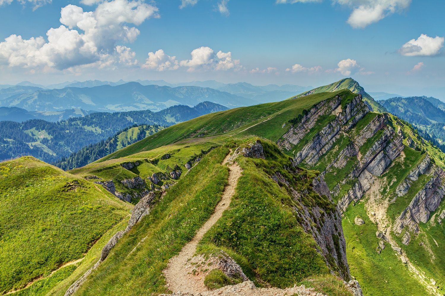
Maximilian Trail in Germany — Lake Constance to Königssee
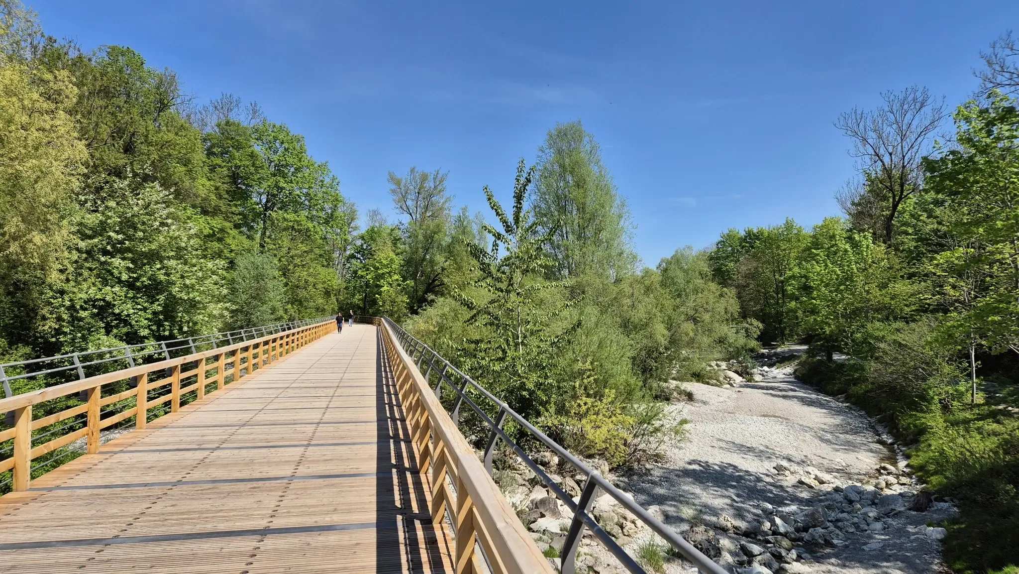
City off, nature on around Munich – With Magnesium-Diasporal®
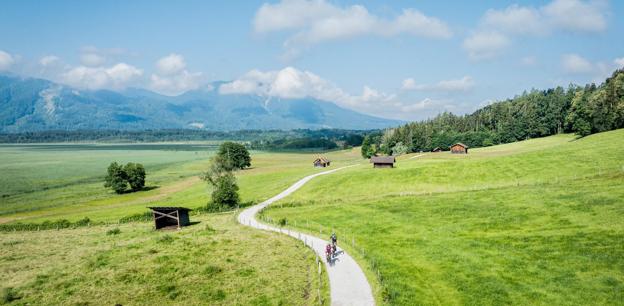
Art and nature by bike – from Munich to the edge of the Alps
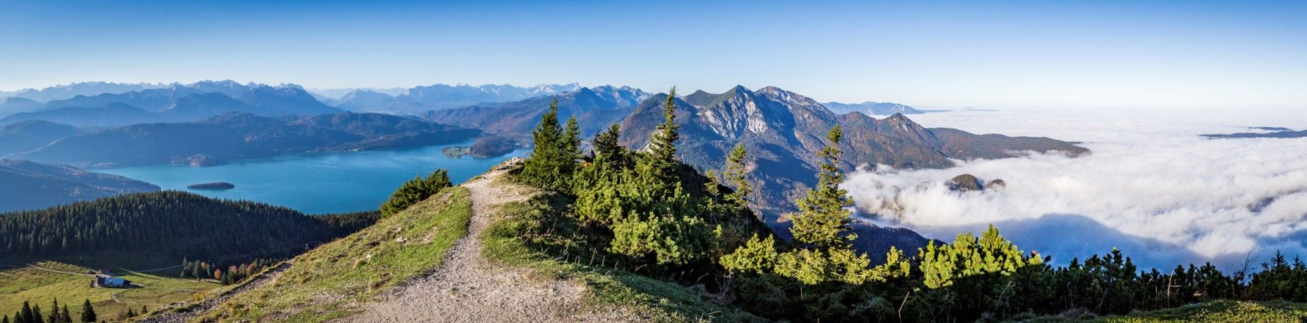
Fairytale landscapes & alpine foothills - hiking in the Tölzer Land in Bavaria
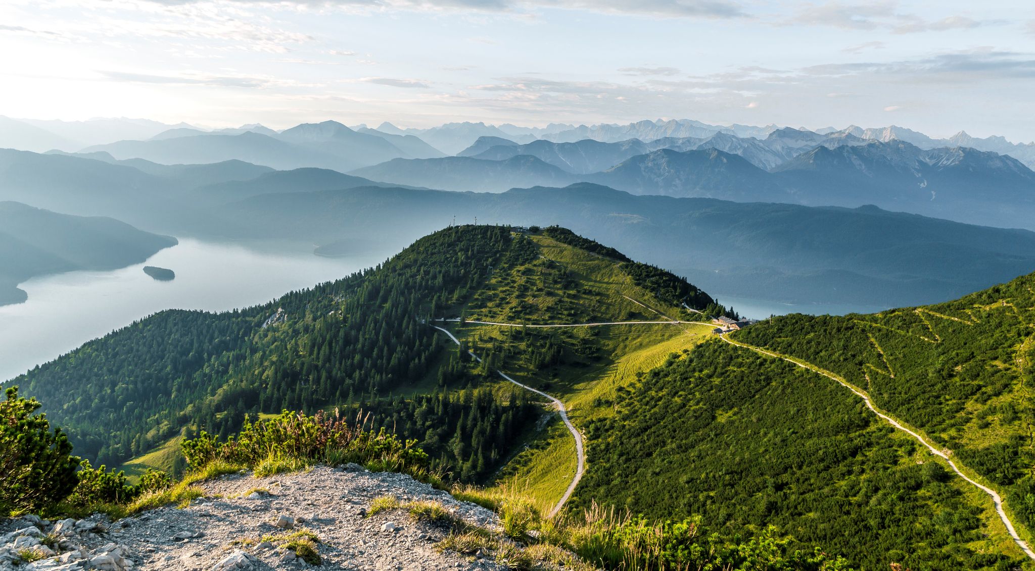
Hiking with a view – walks around Kochelsee & Walchensee
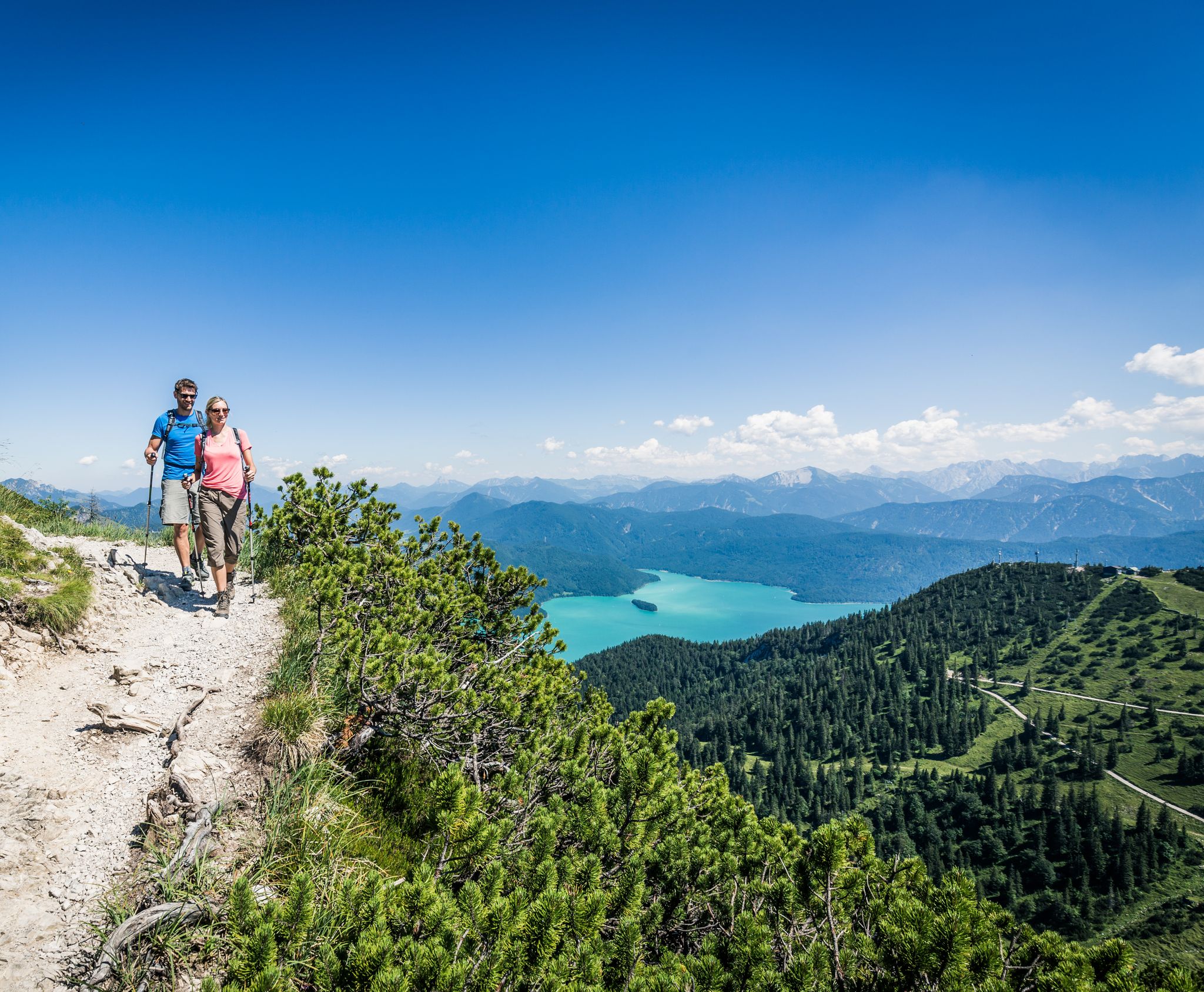
Panoramic hikes between Lake Kochel & Lake Walchen
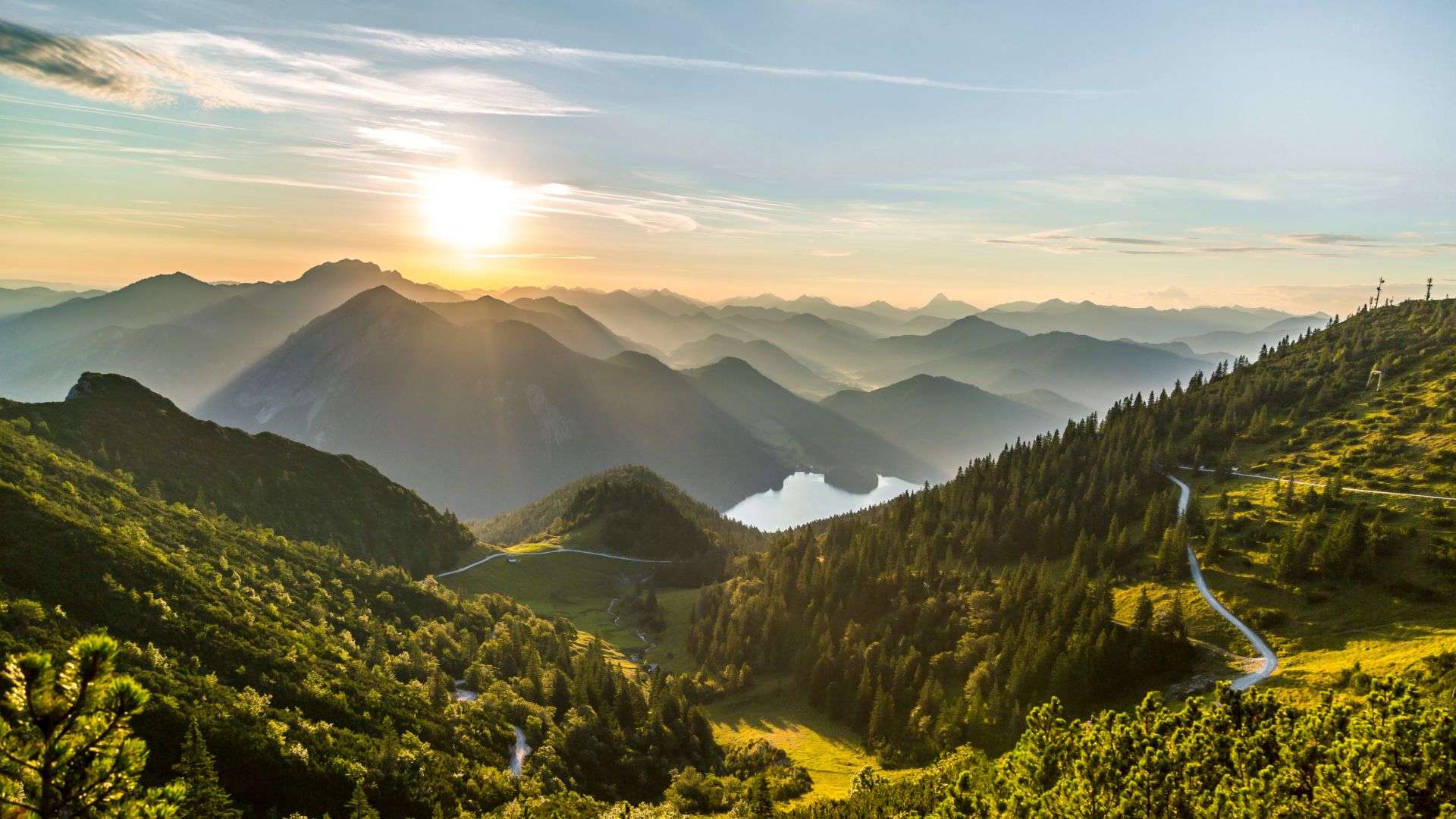
From lake to sea in the Tölzer Land
Ride across the Alps – bikepacking between Munich and Venice
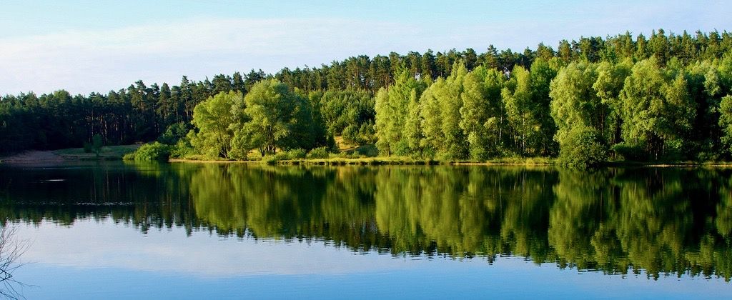
33 lakes for sunny weekends
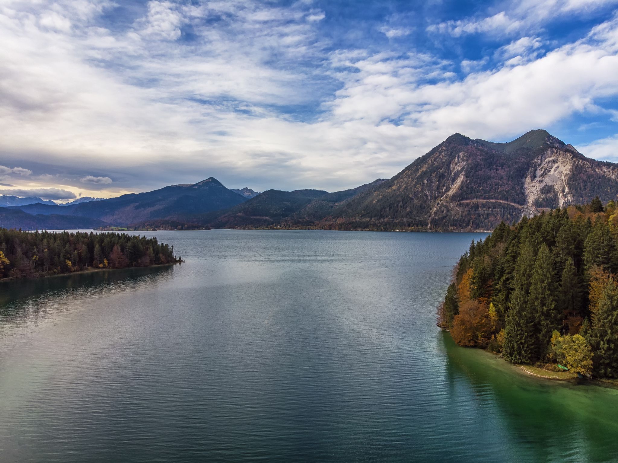
Autumn hikes around Munich


Tips from the Community

From Kochelsee to the confluence with the Isar It leaves the lake at its northern edge west of Kochel, passes Benediktbeuern and Penzberg, and finally leaves the northern foothills of the Bavarian Alps there. It flows through Eurasburg and empties into the Isar north of Wolfratshausen in the Pupplinger Au floodplain. Source https://de.wikipedia.org/wiki/Loisach
2
0
From the source to the Bavarian border The Loisach rises in the state of Tyrol between the Lechtal Alps in the west and the Mieminger Mountains in the east, below and northeast of the Fern Pass. Its sources are located in the municipality of Biberwier near the Mittersee close to the B 179. From there, its water flows northwards through the Ehrwald Basin and then along the B 187 through Ehrwald and west past the Zugspitze to the German border. From Garmisch-Partenkirchen to Lake Kochel On the Bavarian side, it first passes Griesen in a northeasterly direction and then flows past Grainau to Garmisch, the largest district of Garmisch-Partenkirchen. Afterwards, it continues north between the Ammergau Alps in the west and the Ester Mountains in the east. Via Farchant, Oberau and Eschenlohe as well as past Ohlstadt and Murnau, the Loisach reaches Großweil, where it turns southeast and flows into the western part of Lake Kochel at Schlehdorf north of the Herzogstand. Source https://de.wikipedia.org/wiki/Loisach
3
0
The name is based on the Indo-European root *leubʰ, which means 'dear'. It is derived with an s suffix. The name refers to the pleasant course of the river.[3] Earlier forms of the name are Liubasa (1003), Lyubasa (c. 1052), Liubisaha (1148–1155), Livbisaha (12th century), Liubsaha (1258), Leusach (1332), Leusach (1348), Lewsach (1424), Loysach (1536) and finally 1553 Loisach.[4] Source https://de.wikipedia.org/wiki/Loisach
3
0
The Loisach is a 113.2 km[1] long, south-southwesterly and left tributary of the Isar in Austria and Germany. It rises north of the Fern Pass in Tyrol and flows into the Isar near the Bavarian town of Wolfratshausen after a northeasterly course. Source https://de.wikipedia.org/wiki/Loisach
3
0

When it's time for a little adventure again, the route runs along here, whether it's a gravel bike or a road bike. Keep in mind that along the gravel path from Fall there are some tough climbs, but everything is doable.
1
0

Great path along the river, many stations with information about it. Wonderfully relaxing.
1
0

The only natural outlet of the Kochelsee is the river Loisach. It leaves the lake in the northeast near Kochel am See, after having previously flowed into the lake on the west side (near Schlehdorf), and continues to flow north from there.
15
0

The church is correctly called "Sankt Georg". Visiting is difficult because it is locked.
0
0
Frequently Asked Questions
How many traffic-free gravel bike trails are available around Kochel am See?
There are over 50 dedicated traffic-free gravel bike trails around Kochel am See listed on komoot. These routes offer a diverse range of experiences, from leisurely rides along lake shores to more challenging tours through the Alpine foothills.
What kind of terrain can I expect on gravel bike trails in Kochel am See?
The region offers a varied landscape perfect for gravel biking. You'll find routes tracing the shores of Kochelsee and Walchensee, paths through the extensive Loisach-Kochelsee Moor, and trails winding through dense forests and along river valleys like the Loisach and Isar. Expect a mix of flat, easy sections and more challenging climbs with significant elevation changes, especially closer to the Bavarian Alps.
Are there any easy, beginner-friendly traffic-free gravel routes?
Yes, Kochel am See offers several easy routes ideal for beginners or those seeking a relaxed ride. Many trails along the Kochelsee shores or through the Loisach-Kochelsee Moor provide gentle gradients and scenic views without significant technical demands. For example, routes through the moorland offer idyllic, flat gravel paths.
Can I find challenging gravel bike routes without traffic in the area?
Absolutely. For experienced gravel bikers, the region provides challenging routes with considerable elevation gain. Trails around the Herzogstand and Heimgarten Mountains, or routes like the Wallgau Panoramic View – View of the Isar River loop from Walchensee, offer demanding climbs and rewarding panoramic views of the lakes and Alps.
What are some interesting sights or natural attractions along the gravel trails?
Many routes pass by stunning natural features and cultural highlights. You might encounter the beautiful Lainbach Waterfall or explore the dramatic Hüttlebach Gorge. The historic Benediktbeuern Abbey is also accessible via a dedicated loop, offering a cultural stop during your ride.
Are there any circular gravel bike routes around Kochel am See?
Yes, many of the traffic-free gravel bike trails in the region are designed as loops, allowing you to start and end at the same point. Examples include the View of Riegsee and the Alps – Forest path along the Loisach River loop from Benediktbeuern, which offers a moderate challenge, or the more difficult View of the Glaswand – Elend Trail loop from Benediktbeuern.
What do other gravel bikers say about the trails in Kochel am See?
The komoot community highly rates the gravel biking experience in Kochel am See, with an average score of 4.6 stars from over 30 reviews. Riders frequently praise the stunning lake and mountain views, the variety of terrain, and the peaceful, traffic-free nature of the routes, making it an ideal destination for outdoor enthusiasts.
Are there any routes that offer views of both Kochelsee and Walchensee?
Yes, some of the more elevated routes provide spectacular panoramic views that encompass both Kochelsee and Walchensee. Trails around the Herzogstand and Heimgarten mountains are particularly known for these breathtaking vistas, offering a rewarding experience for those willing to tackle the climbs.
Can I combine gravel biking with other activities like visiting a museum or spa?
Absolutely! Kochel am See is well-suited for combining gravel biking with other leisure activities. After a ride, you could visit the Franz Marc Museum, showcasing expressionist art, or relax at the Kristall Trimini thermal spa, which offers wellness with lake and mountain views. The region's attractions are often easily accessible from various trailheads.
Are there any gravel routes that follow river paths?
Yes, the area features several routes that wind along rivers. The Loisach River, for instance, offers scenic paths. The Loisach Singletrack – Forest path along the Loisach River loop from Schlehdorf is a great example, providing a long and engaging ride through varied terrain alongside the river.
Most popular routes around Kochel am See
Most popular attractions around Kochel am See

Get inspired with the komoot mobile app


Explore more
Browse the best Gravel rides in other regions.
