The best traffic-free bike rides around Hilchenbach
4.4
(58)
208
riders
43
rides
Gravel biking around Hilchenbach offers diverse landscapes within the Rothaargebirge mountains, characterized by green hills, meadows, and dense forests. The region features extensive trail networks with rolling hills and river valleys like the Eder and Sieg, providing a mix of moderate climbs and descents. These natural features create varied terrain ideal for off-road cycling on forest tracks and gravel paths. The area is well-suited for exploring no traffic gravel bike trails, offering a serene escape.
Best no traffic gravel bike…
Last updated: October 13, 2026
3.0
(2)
5
riders
23.8km
02:09
540m
540m
Hard gravel ride. Very good fitness required. You may need to push your bike for some segments of this route.
4.5
(2)
11
riders
47.8km
03:16
690m
690m
Hard gravel ride. Very good fitness required. Mostly paved surfaces. Suitable for all skill levels.

4.0
(2)
5
riders
23.9km
01:48
420m
420m
Moderate gravel ride. Good fitness required. Mostly paved surfaces. Suitable for all skill levels.
5.0
(2)
3
riders
Hard gravel ride. Good fitness required. You may need to push your bike for some segments of this route.
1
riders
Hard gravel ride. Very good fitness required. You may need to push your bike for some segments of this route.
Get access to more routes and recommendations from other explorers.
Already have an account?
Our route recommendations are based on thousands of hikes, rides, and runs completed by other people on komoot.
Start today with a free account
Your next adventure awaits.
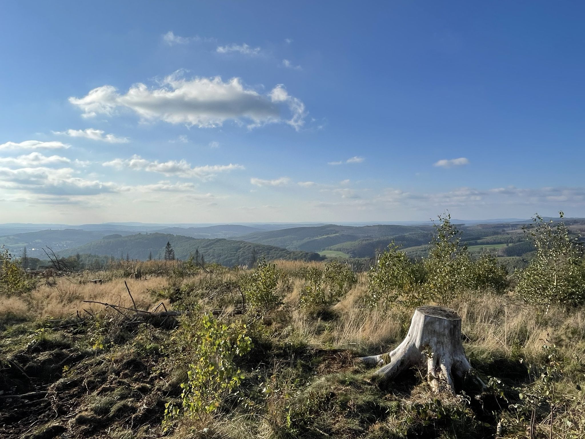
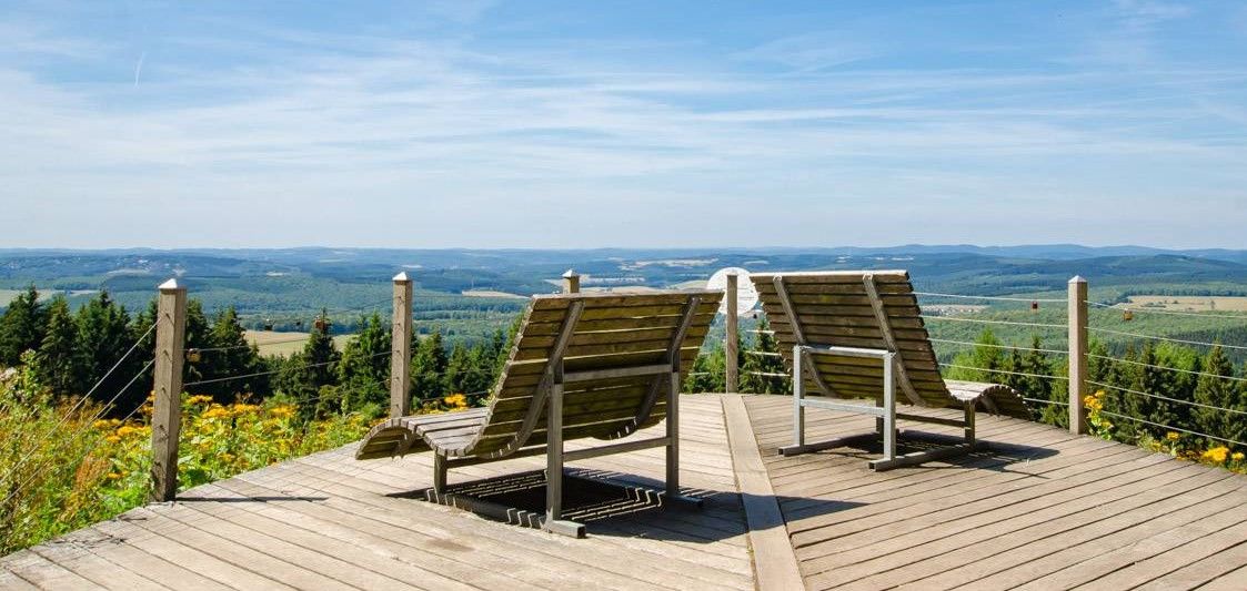
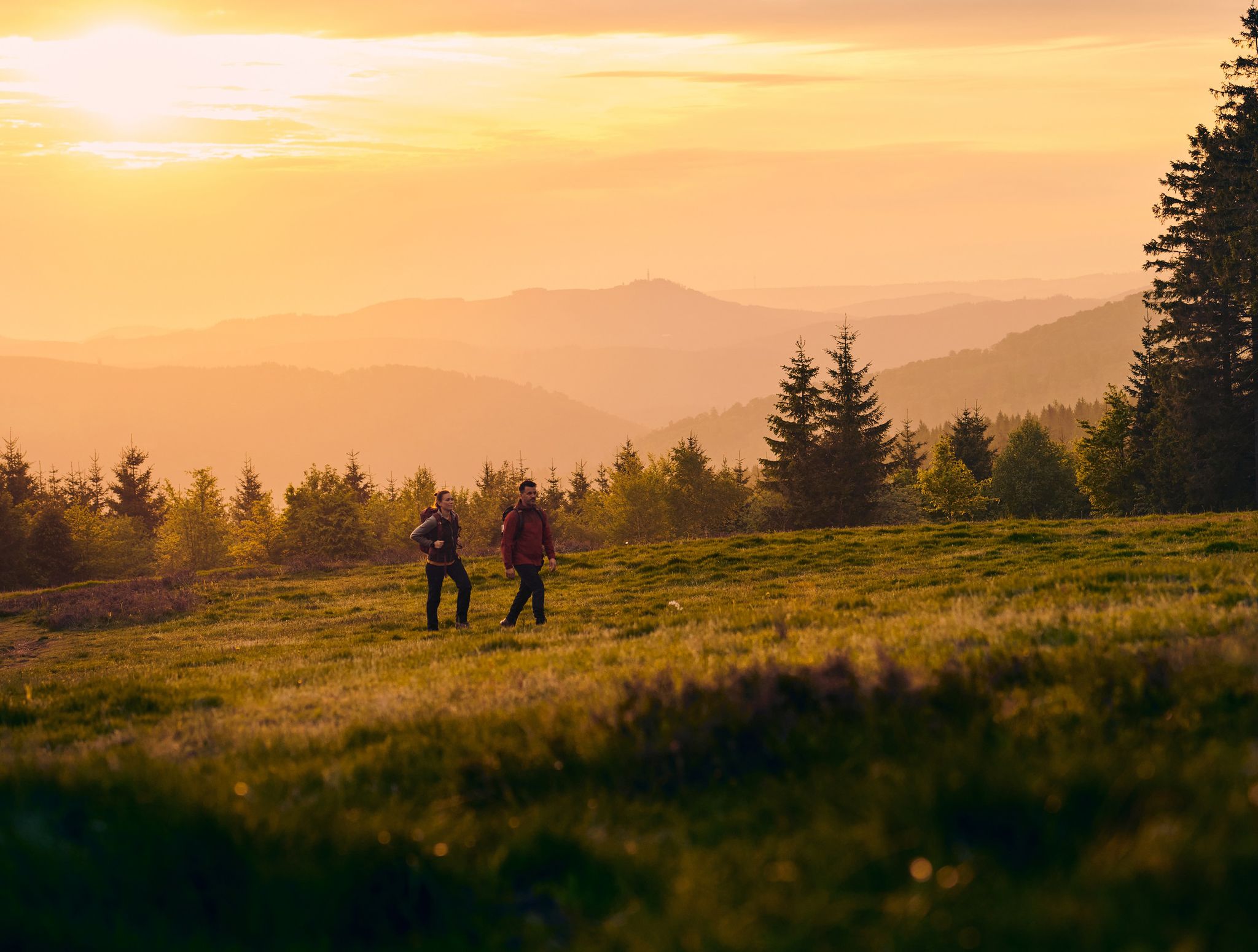
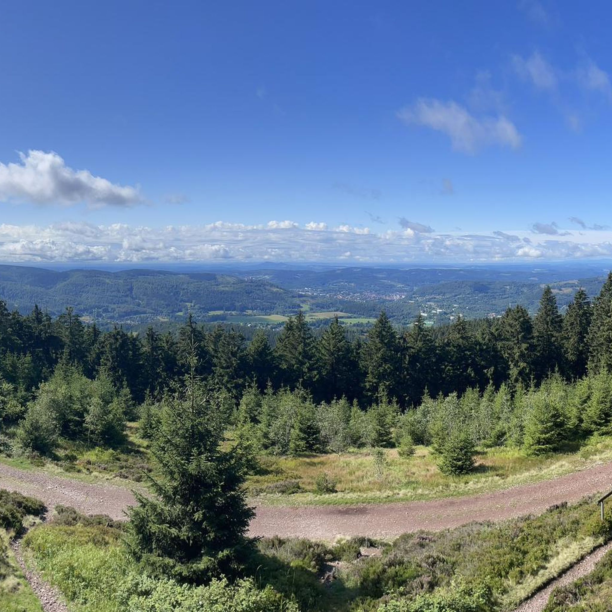
Other adventures around Hilchenbach


Tips from the Community

The Reckhammer-Auenweg begins at the playground Im Schloos in Littfeld, which you can take both on foot and by bike to Krombacher Straße near Umweltservice Lindenschmidt. The path leads through fields and is suitable for riders and pedestrians who do not want to move on the main road from Krombach to Littfeld and vice versa.
0
0
At the spring near the wind turbines, there is usually no water, so you should not rely on it.
1
0
You can use this path wonderfully if you start from Burgholdinghausen. The scenery is very picturesque at any time of year and even in the dark, as the young Littfe meanders right next to the path here.
2
0

Good cycle path to bypass the busy federal road Kreuztal - Ferndorf!
0
0

The Schrabben Hof cultural heritage site in Silberg, in the municipality of Kirchhundem, is a former manor farm with several building complexes, most of which are listed as historical monuments. The highly dilapidated estate was transformed over many years through great voluntary effort into today's cultural heritage site.
0
0
The historic reception building and the goods shed are listed buildings.
0
0

Very beautiful bridge made of rubble masonry over the Ferndorf.
0
0

Beautifully laid out. We ride up there to the customs post.
0
0
Frequently Asked Questions
How many no-traffic gravel bike trails are available in Hilchenbach?
There are over 45 dedicated no-traffic gravel bike trails around Hilchenbach, offering a wide range of options for different skill levels and preferences. The region's extensive network of forest tracks and gravel paths ensures a serene riding experience away from vehicular traffic.
What are the typical difficulty levels and elevations for gravel biking in Hilchenbach?
The gravel trails in Hilchenbach offer a mix of moderate to difficult routes, reflecting the rolling hills and mountainous terrain of the Rothaargebirge. You can expect significant elevation changes, with climbs and descents ranging from around 300 meters to over 800 meters on longer tours. For example, the Ferndorfer Allee – Reckhammer-Aue Trail loop from Hilchenbach features over 680 meters of elevation gain.
Are there any notable landmarks or natural features to see along the gravel trails?
Yes, Hilchenbach's gravel trails often pass by or offer views of significant landmarks and natural beauty. You might encounter historic sites like the ruins of Ginsburg keep, or enjoy panoramic vistas from observation points such as the Gillerbergturm. The region is also characterized by the picturesque Eder and Sieg River Valleys, and unique 'Hauberge' coppiced forests. The Wigrow Shelter and Picnic Area – View of Breitenbach Reservoir loop from Stift Keppel-Allenbach offers views of the Breitenbachtalsperre.
Is public transport available to access the gravel trails, and can I bring my bike?
Hilchenbach is served by local public transport, and some services in the Siegen-Wittgenstein district allow for bicycle transport, often outside of peak hours or with specific tickets. It's advisable to check the current regulations and schedules of the local transport provider (e.g., ZWS or VRR) before planning your trip, as policies for bike carriage can vary.
What is the best time of year for gravel biking in Hilchenbach?
The best time for gravel biking in Hilchenbach is generally from spring to autumn (April to October). During these months, the weather is usually mild, and the trails are dry and well-maintained. Spring brings lush greenery, while autumn offers stunning fall foliage. Winter can be challenging due to snow and ice, making some trails impassable or requiring specialized equipment.
Are there family-friendly no-traffic gravel bike trails in Hilchenbach?
While many trails in Hilchenbach feature moderate to difficult sections due to the hilly terrain, some flatter sections along river valleys like the Eder and Sieg can be more suitable for families. Look for routes described as 'easy' or 'moderate' on komoot, and always check the elevation profile and distance to ensure it matches your family's capabilities. The Hilchenbach Adventure Trail, though primarily for hiking, indicates the presence of accessible natural areas.
Can I bring my dog on the gravel bike trails around Hilchenbach?
Many natural areas and trails in the Rothaargebirge region are dog-friendly, provided dogs are kept on a leash, especially in forested areas to protect wildlife. Always ensure your dog is well-behaved and accustomed to cycling alongside you. Be mindful of other trail users and local regulations, particularly in nature reserves or near livestock.
Are there places to eat or stay near the gravel bike trails in Hilchenbach?
Hilchenbach, as a climatic spa town, offers various accommodation options, from hotels to guesthouses, many of which are cyclist-friendly. You'll also find cafes and pubs in the town center and surrounding villages. Some trails, like the Wigrow Shelter and Picnic Area – View of Breitenbach Reservoir loop from Stift Keppel-Allenbach, even pass by designated picnic areas or shelters, perfect for a break. For specific dining or lodging directly on a route, it's best to check the route details or local listings.
What do other gravel bikers enjoy the most about gravel biking in Hilchenbach?
The komoot community highly rates the gravel biking experience in Hilchenbach, with an average score of 4.45 stars. Riders frequently praise the region's quiet, traffic-free forest tracks, the diverse landscapes ranging from dense woodlands to open heathland, and the challenging yet rewarding climbs that offer stunning views of the Rothaargebirge mountains. The sense of immersion in nature and the well-maintained gravel paths are often highlighted.
Are there circular no-traffic gravel bike routes available in Hilchenbach?
Yes, many of the no-traffic gravel bike routes in Hilchenbach are designed as circular loops, allowing you to start and end at the same point without retracing your steps. Examples include the Rothaar Hut – Ginsberg Heath loop from Hilchenbach and the Singletrack trail to Giller – Ginsberg Heath loop from Hillnhütten. These routes are ideal for exploring the varied landscapes and returning conveniently to your starting point.
Where can I park my car when starting a gravel bike tour in Hilchenbach?
Hilchenbach and its surrounding villages offer various public parking options, often near trailheads or in town centers. Look for designated parking areas, especially near popular starting points for hiking and cycling routes. It's always a good idea to check local signage for any parking restrictions or fees.
Most popular routes around Hilchenbach
Most popular attractions around Hilchenbach

Get inspired with the komoot mobile app


Explore more
Browse the best Gravel rides in other regions.
