The best traffic-free bike rides around Gschwend
4.7
(19)
149
riders
52
rides
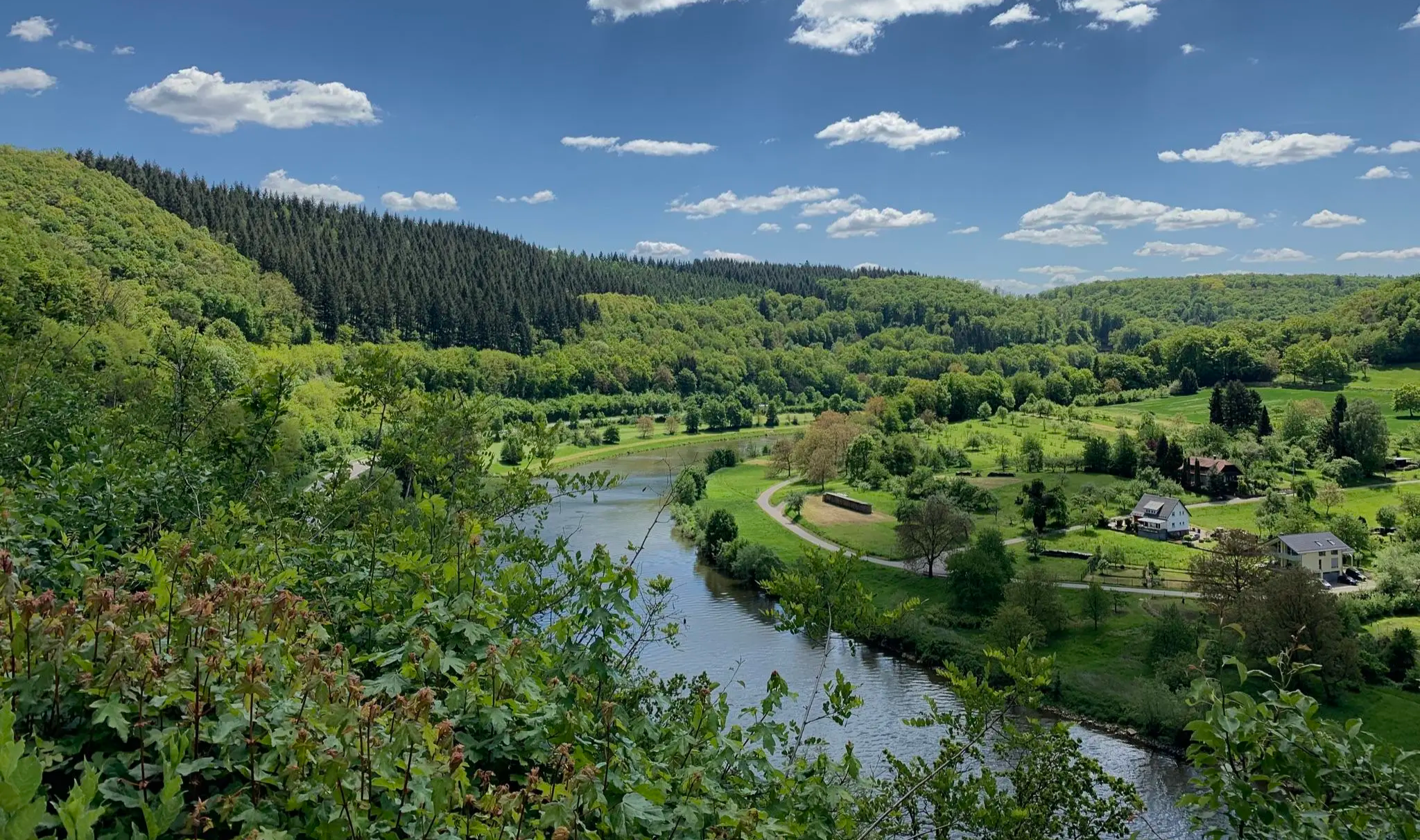
Gravel biking around Gschwend offers diverse landscapes, characterized by cultivated areas, natural scenery, and varied terrain suitable for two-wheeled exploration. The region features a network of no traffic gravel bike trails that wind through rural environments and past natural attractions. Riders can expect routes that traverse gentle hills and provide views of the surrounding natural features. This area provides a mix of environments for gravel cyclists.
Best no traffic gravel bike trails around Gschwend
- The most popular no traffic gravel…
Last updated: October 13, 2026
3
riders
42.8km
02:56
650m
650m
Hard gravel ride. Very good fitness required. Mostly paved surfaces. Suitable for all skill levels.
5.0
(1)
1
riders
17.0km
01:17
290m
280m
Moderate gravel ride. Good fitness required. Mostly paved surfaces. Suitable for all skill levels.
2
riders
Moderate gravel ride. Good fitness required. Mostly paved surfaces. Suitable for all skill levels.
Get access to more routes and recommendations from other explorers.
Already have an account?
Our route recommendations are based on thousands of hikes, rides, and runs completed by other people on komoot.
Start today with a free account
Your next adventure awaits.
Other adventures around Gschwend

Tips from the Community


A 16-meter-long table carved from a single Douglas fir trunk. A place for gathering – and a reminder of how precious peace is.
0
0

In the drained lake you can see the sandbank as a hill
0
1

Beautifully tranquil lake, swimming is possible. Refreshing after a strenuous hike. A hiking trail allows you to walk completely around the lake.
0
0

A wonderful park with a castle. Gaildorf is worth a visit!
1
0


A beautiful, idyllic lake with a kiosk. It's always a good place for a quick rest.
0
0

Magnificent panoramic views extend all the way to Schwäbisch Hall and Waldenburg. To the south, the hills of the Alb are visible. The weather just has to be right.
0
0
Frequently Asked Questions
How many no-traffic gravel bike trails are available around Gschwend?
Gschwend offers a wide selection of traffic-free gravel bike trails, with over 50 routes available for you to explore. These routes cater to various skill levels, ensuring there's something for everyone.
What are the typical difficulty levels for gravel biking in Gschwend?
The gravel bike trails around Gschwend range from moderate to difficult. While there is one easy route, the majority of the 50+ trails are classified as moderate (around 20 routes) or difficult (over 35 routes), often featuring significant elevation changes. For example, the View from Frickenhofer Höhe – View of Hohe Tannen loop from Frickenhofen is a challenging option with over 650 meters of elevation gain.
Are there any family-friendly no-traffic gravel bike routes in Gschwend?
Yes, Gschwend offers options suitable for families looking for traffic-free gravel biking. While many routes have moderate difficulty, the natural setting and scenic views make them enjoyable. Look for routes with less elevation gain and shorter distances. The Gschwend Natural Swimming Lake – Table of Peace loop from Gschwend is a moderate option that could be suitable for active families, offering a chance to visit the popular Naturbadesee Gschwend.
Can I bring my dog on the gravel bike trails around Gschwend?
Many of the natural trails around Gschwend are suitable for cycling with dogs, provided they are well-behaved and accustomed to longer distances. The region's focus on natural scenery and wildlife means there are plenty of quiet paths. Always ensure your dog is on a leash where required and be mindful of other trail users and local wildlife.
What kind of natural attractions or landmarks can I see along the routes?
Gschwend's gravel bike trails wind through beautiful cultivated landscapes and natural scenery. You can discover various points of interest, including stunning viewpoints like the Hagberg Observation Tower or the View of the Wieslauftal from Schmalenberg. You might also encounter natural features such as the Forellensprung Waterfall or the tranquil Treibsee. The Gschwend Natural Swimming Lake – Table of Peace loop from Gschwend route passes by the idyllic Naturbadesee Gschwend.
Are there any circular gravel bike routes available?
Yes, many of the gravel bike trails in Gschwend are designed as circular routes, allowing you to start and end at the same point without retracing your steps. Examples include the View from Frickenhofer Höhe – View of Hohe Tannen loop from Frickenhofen and the Heinlesmühle Watermill & Café – Hüttenbühl Reservoir loop from Wiesentäler bei der Menzlesmühle.
Where can I find parking for gravel biking in Gschwend?
Parking is generally available at common starting points for trails, often near town centers, public facilities, or designated trailheads. For routes like the Gschwend Natural Swimming Lake – Table of Peace loop from Gschwend, you can typically find parking close to the Naturbadesee Gschwend or within the town itself.
What is the best time of year for gravel biking in Gschwend?
Gschwend is enjoyable for gravel biking throughout much of the year. Spring and autumn offer pleasant temperatures and vibrant scenery. Summer is also popular, especially if you plan to combine your ride with a visit to the Naturbadesee Gschwend. While winter riding is possible, be prepared for colder conditions and potentially icy or muddy sections on unpaved trails.
Are there places to stop for refreshments or a meal along the trails?
Yes, you can find opportunities for refreshments. The Heinlesmühle Watermill & Café – Hüttenbühl Reservoir loop from Wiesentäler bei der Menzlesmühle specifically highlights the Heinlesmühle Watermill & Café as a stop. The Naturbadesee Gschwend also has a kiosk during the summer season. Additionally, Gschwend and surrounding villages offer various cafes and pubs.
What do other gravel bikers enjoy most about Gschwend?
The komoot community highly rates the gravel biking experience in Gschwend, with an average score of 4.8 stars. Reviewers often praise the region's diverse landscapes, the tranquility of the traffic-free paths, and the opportunities to immerse oneself in nature and observe wildlife. The well-maintained trails and scenic views are frequently highlighted as key attractions.
How long do the gravel bike trails typically take to complete?
The duration of gravel bike trails in Gschwend varies significantly based on distance and difficulty. Shorter, moderate routes like the Gschwend Natural Swimming Lake – Table of Peace loop from Gschwend (17 km) can take around 1.5 to 2 hours. Longer, more difficult trails, such as the View from Frickenhofer Höhe – View of Hohe Tannen loop from Frickenhofen (43 km), can require 3 to 4 hours or more, depending on your pace and stops.
Most popular routes around Gschwend
Most popular attractions around Gschwend

Get inspired with the komoot mobile app


Explore more
Browse the best Gravel rides in other regions.
