The best hikes from bus stations around Furtwangen
4.6
(10731)
37,013
hikers
152
hikes
Bus station hiking trails around Furtwangen offer access to the diverse landscapes of the Black Forest. The region is characterized by dense forests, rolling hills, and deeply incised valleys, with elevations ranging between 850 and 1150 meters above sea level. Numerous clear streams, such as the Breg and Elz, contribute to the area's natural features. Furtwangen is situated on the European watershed, providing a landscape shaped by river systems and notable rock formations.
Best bus station hiking trails around Furtwangen
…Last updated: September 30, 2026
4.7
(170)
650
hikers
Moderate hike. Good fitness required. Easily-accessible paths. Suitable for all skill levels.
4.9
(25)
127
hikers
Moderate hike. Good fitness required. Easily-accessible paths. Suitable for all skill levels.

4.4
(25)
90
hikers
15.3km
04:34
450m
450m
Moderate hike. Good fitness required. Mostly accessible paths. Sure-footedness required.
4.7
(17)
63
hikers
16.9km
04:52
400m
400m
Moderate hike. Good fitness required. Easily-accessible paths. Suitable for all skill levels.
4.6
(19)
70
hikers
5.78km
01:47
210m
210m
Easy hike. Great for any fitness level. Easily-accessible paths. Suitable for all skill levels.
Get access to more routes and recommendations from other explorers.
Already have an account?
Our route recommendations are based on thousands of hikes, rides, and runs completed by other people on komoot.
Start today with a free account
Your next adventure awaits.
Popular around Furtwangen im Schwarzwald
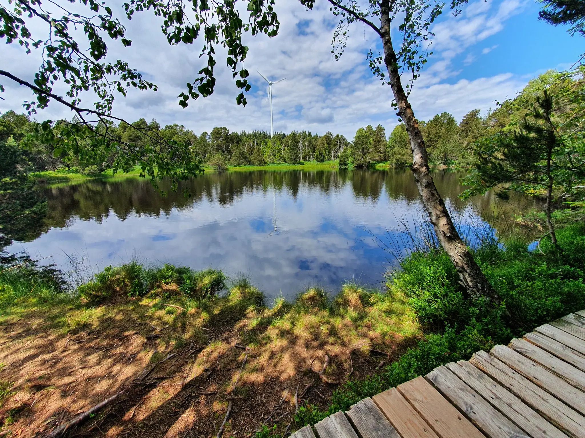
Hike the WasserWeltenSteig – Waterfalls, lakes and rivers of the Black Forest
Deep in the Black Forest - Crossing on the Westweg
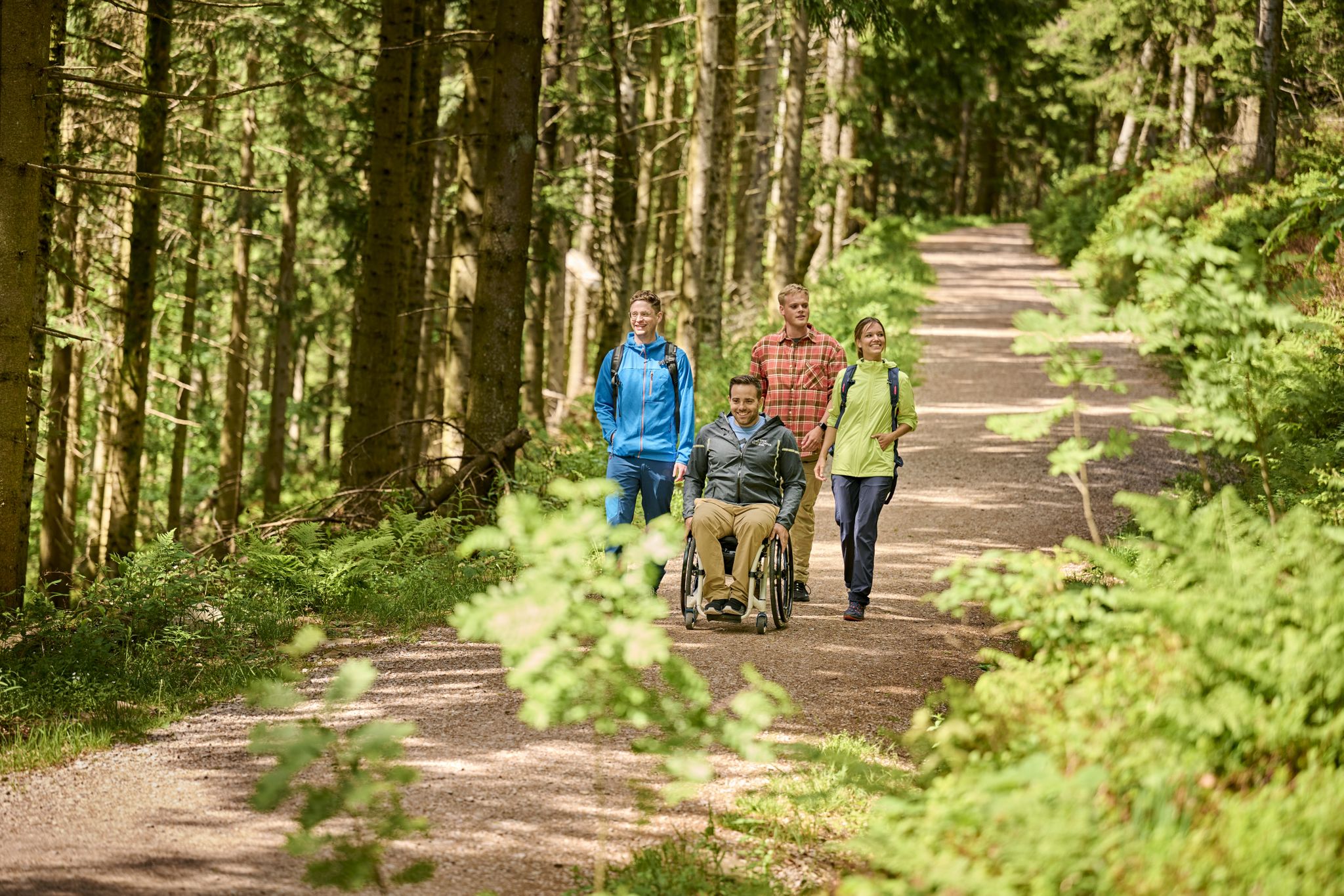
Accessible hiking routes in Baden-Württemberg
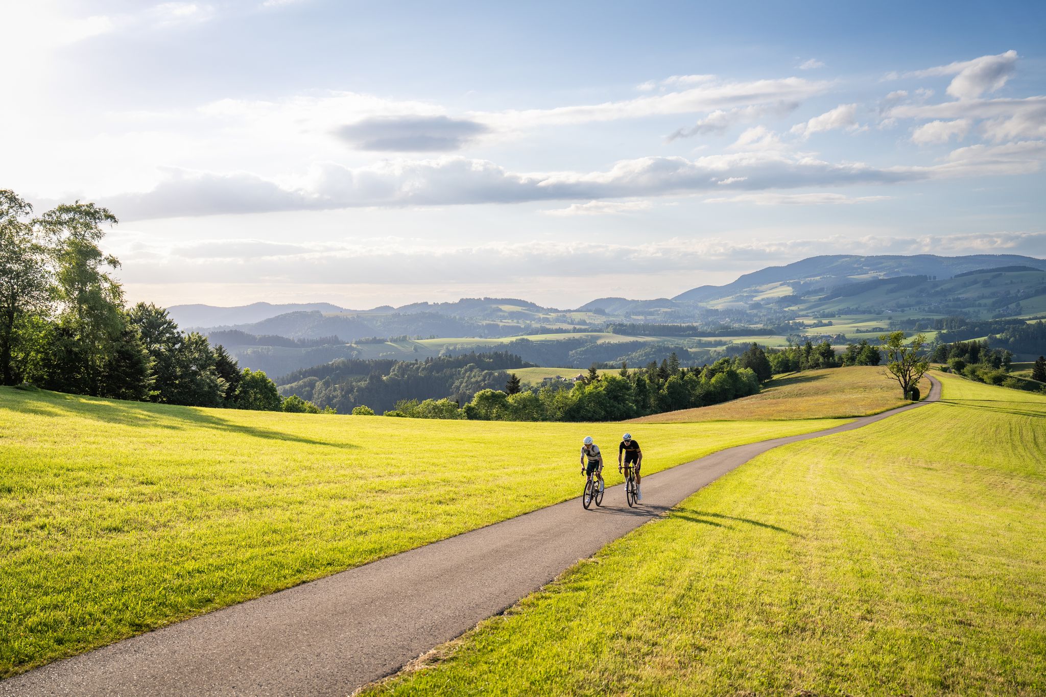
Asphalt poetry – road cycling in the High Black Forest
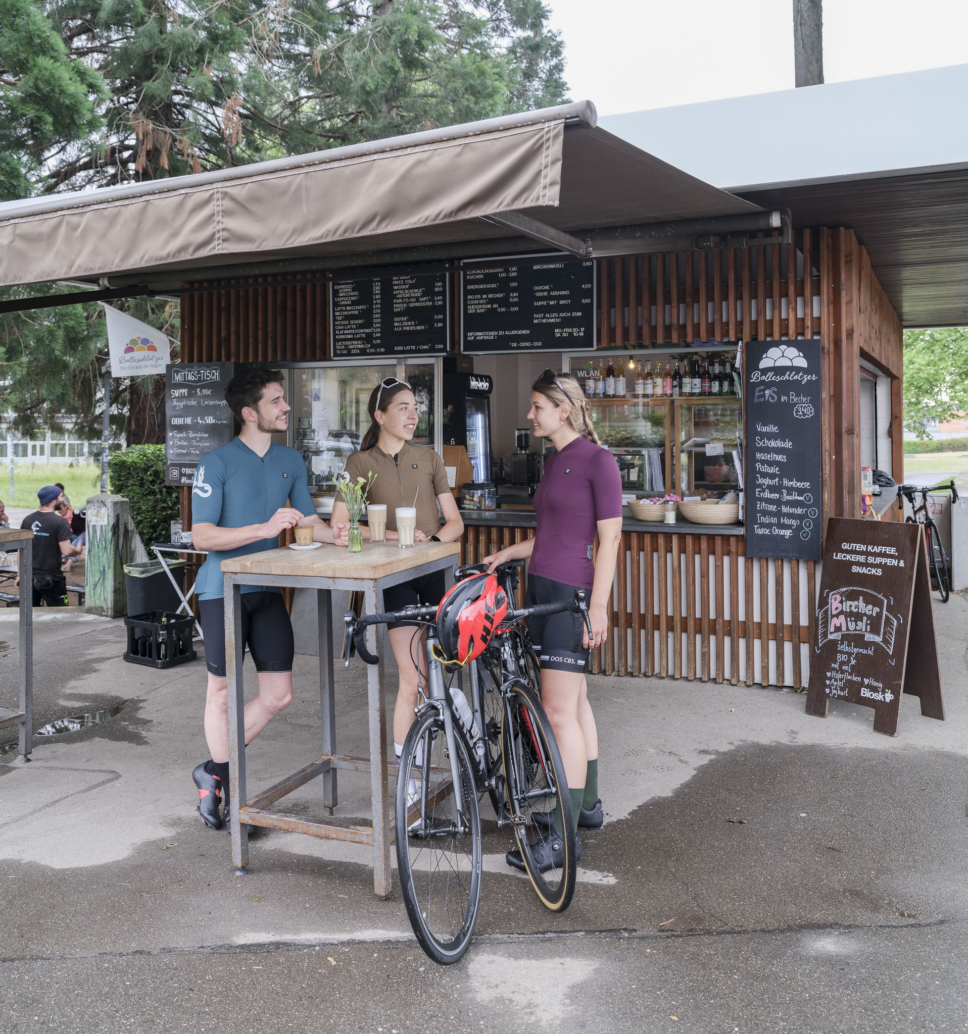
Espresso, ice cream and racing bikes – a dream mix in the Black Forest
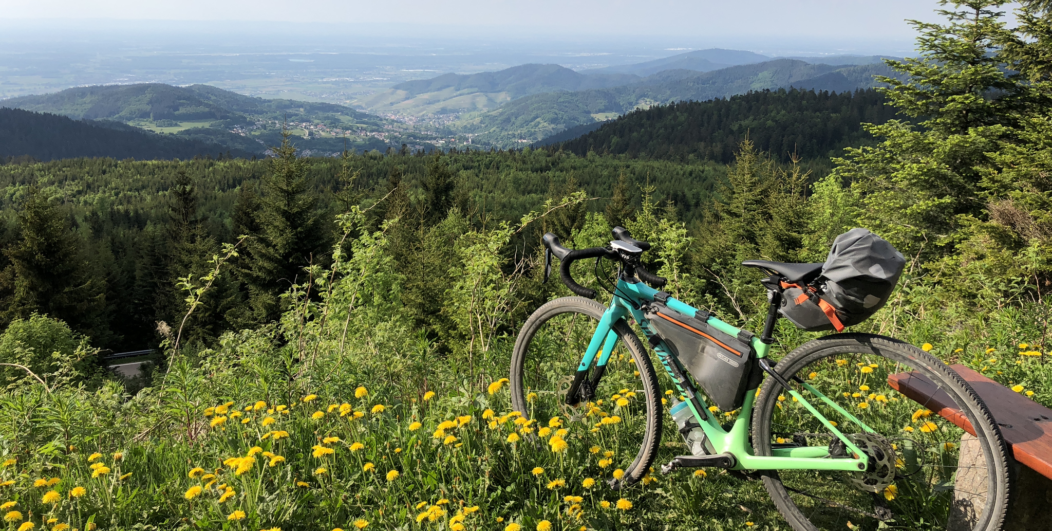
A bikepacking adventure for beginners – Black Forest Cycle Route in Germany
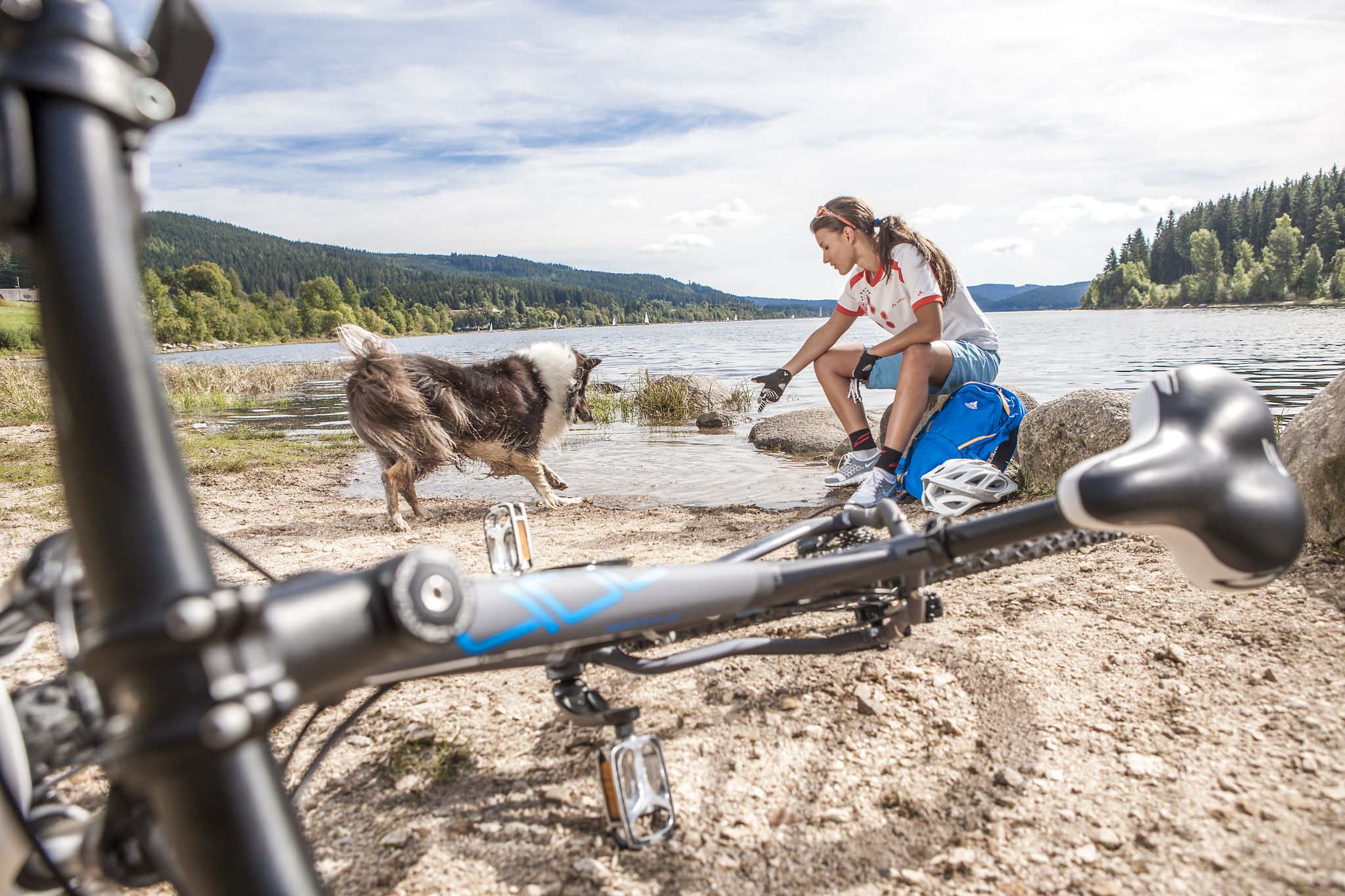
Panoramas, trails and lake hopping – biking in the Black Forest
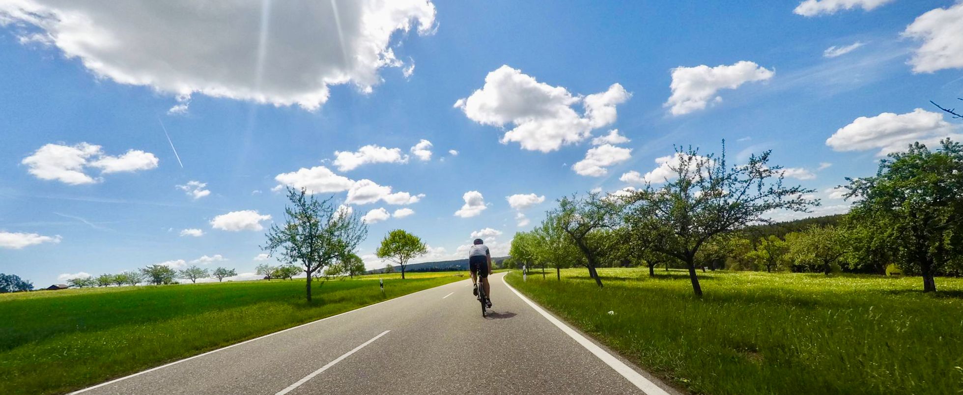
Secluded valleys & dramatic passes – best of Black Forest road cycling
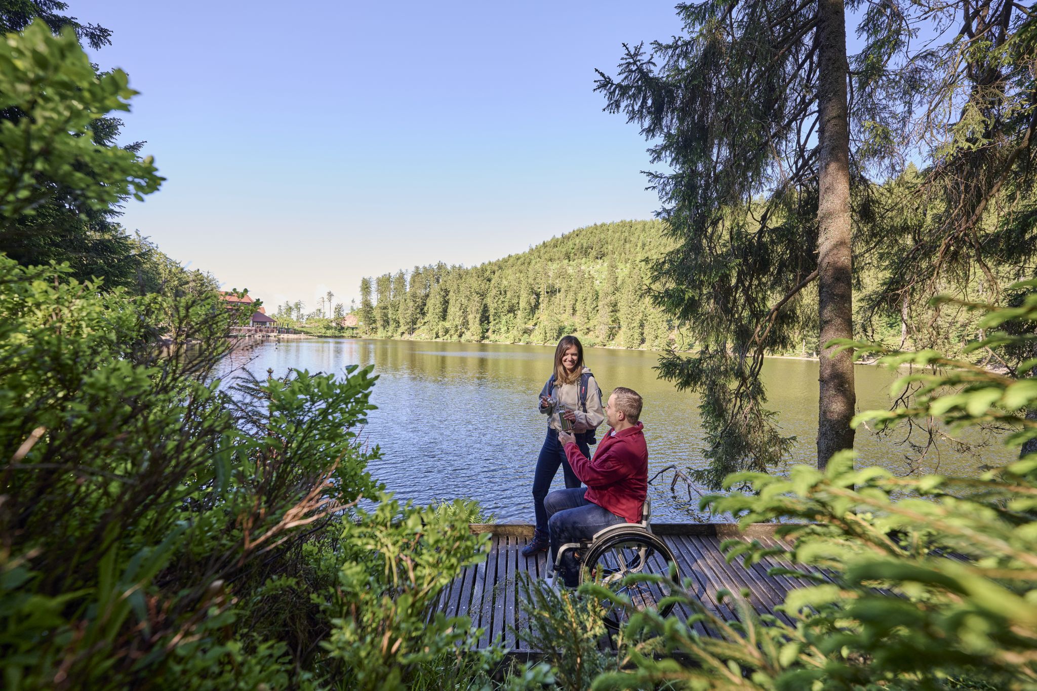
Barrierefreie Wege im Schwarzwald
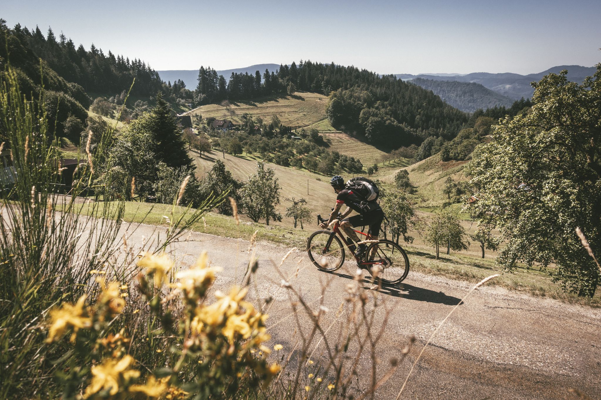
Blütenzauber – Frühlings-Graveln im Schwarzwald
Other adventures around Furtwangen


Tips from the Community

We were there in early summer 2022 and had the time of our lives. The surroundings, the forest, the blooming mountain meadows, the climate, are balm for the soul and the best medicine. From "Katha" you can start many hikes and always find water, shade, the protection of forests and peace wherever you go.
0
0

the watershed between the Danube and the Rhine
0
0
short break at the Martinskapelle
0
0
from here a beautiful view over the Black Forest
0
0

The European watershed at Martinskapelle near Furtwangen in the Black Forest separates the catchment area of the North Sea (via the Rhine) from that of the Black Sea (via the Danube) at an altitude of around 1,085 meters. Course of the watershed Rhine catchment area (northwestern side): The Elz rises here, which ultimately flows into the North Sea via the Rhine. Danube catchment area (southeastern side): Only about 100 meters from the watershed lies the Breg spring. The Breg is considered the longest source river of the Danube, whose waters flow into the Black Sea. The separation: A ridge only a few meters wide decides here whether a water droplet begins its journey west to the Rhine or east to the Danube.
0
0
great tower with a place to stop for refreshments
0
0
Furtwangen's local mountain, the Brend, with a height of 1149 m above sea level, is the highest elevation in the city and, at the same time, the second-highest mountain in the Schwarzwald-Baar district. From its observation tower, built in 1905 and extended to 15 meters in 1983, one can enjoy, with good visibility, not only the view of the Rhine plain, the Black Forest and Vosges peaks, but also the Swabian Jura and the Swiss Alps.
0
0

Fantastic. It's absolutely worth it. 😀
1
0
Frequently Asked Questions
How many bus station hiking trails are there in Furtwangen im Schwarzwald?
There are over 130 hiking trails around Furtwangen im Schwarzwald that are easily accessible from bus stations, offering a wide variety of options for all skill levels.
What is the best time of year for hiking from bus stations in Furtwangen?
The best seasons for hiking in Furtwangen are spring and autumn, offering pleasant weather and vibrant natural scenery. Summers are also warm and ideal for outdoor activities, while the high altitude ensures invigorating air.
What natural features can I expect to see on bus-accessible hikes in Furtwangen?
Hikes in Furtwangen often feature the quintessential Black Forest scenery, including dense woodlands, rolling hills, and clear streams like the Breg and Elz. You can also explore unique natural features such as the European watershed, the Elz Spring, and impressive rock formations like the Günterfelsen. The legendary Blindensee, a moorland lake, offers a mystical atmosphere.
Are there any circular routes accessible from bus stations in Furtwangen?
Yes, many bus-accessible routes in Furtwangen are circular, allowing you to start and end at the same point. For example, the Elz Spring – Günterfelsen loop from Schönwald is a moderate circular hike, and the Günterfelsen – Brend Tower loop from Furtwangen offers panoramic views.
Can I find trails with waterfalls near Furtwangen's bus stations?
Absolutely. The region is home to several beautiful waterfalls. The iconic Triberg Waterfalls, Germany's highest, are accessible via well-maintained pathways. You can also discover the serene Zweribach Waterfalls, which are a highlight in the area.
Are there family-friendly hiking trails accessible by bus in Furtwangen?
Yes, Furtwangen offers several family-friendly options. The Kesselbach Path is ideal for families, following an idyllic stream and providing opportunities for children to play. Themed trails like the "Figure trail Neukirch" and "Animal nature trail Neukirch" are also suitable for families and offer educational experiences.
What is the general difficulty level of bus-accessible hikes in Furtwangen?
The bus-accessible hikes in Furtwangen cater to a range of abilities. You'll find over 60 easy routes, around 70 moderate trails, and a few more challenging options. This diverse network ensures there's a suitable path for everyone, from beginners to experienced hikers.
Are there any easy bus station hikes for beginners in Furtwangen?
Yes, there are numerous easy hikes perfect for beginners or those looking for a relaxed stroll. An example is the Hiking loop from Rohrershäusle, which is an easy 5.7 km route. Many trails are well-maintained and have gentle gradients, making them accessible for all.
Can I bring my dog on bus-accessible hikes in Furtwangen?
Most hiking trails in the Black Forest region are dog-friendly, but it's always recommended to keep your dog on a leash, especially in nature reserves or near livestock. Always check specific trail regulations or local signage for any restrictions before you go.
What kind of terrain can I expect on bus station hikes around Furtwangen?
The terrain around Furtwangen is characterized by rolling hills, dense forests, and deeply incised valleys. As the highest town in Baden-Württemberg, situated between 850 and 1150 meters above sea level, you can expect varied elevation changes, offering both gentle paths and more invigorating climbs.
Are there any viewpoints accessible from bus station trails?
Yes, for fantastic panoramic views, consider routes that include the Brendturm (Brend Viewing Tower). On clear days, the views from here can extend all the way to the Swiss Alps, offering a rewarding experience after a climb.
What do other hikers enjoy most about bus station trails in Furtwangen?
The bus station trails in Furtwangen are highly rated by the komoot community, with an average score of 4.58 out of 5 stars from over 9,300 ratings. Hikers often praise the stunning Black Forest landscapes, the diverse terrain, and the well-maintained trails that provide an immersive experience in unspoiled nature.
Most popular routes around Furtwangen
Most popular attractions around Furtwangen

Get inspired with the komoot mobile app


Explore more
Browse the best Hikes in other regions.
