The best traffic-free bike rides around Billerbeck
4.7
(29)
108
riders
16
rides
Gravel biking around Billerbeck offers a diverse landscape characterized by the gentle, verdant Münsterland park landscape and the rolling Baumberge Hills. The region features a mix of terrain, including extensive cycling paths, riverside trails along the Berkel River, and areas with distinctive sandstone structures. These natural features provide varied routes suitable for gravel enthusiasts seeking no traffic gravel bike trails.
Best no traffic gravel bike trails around Billerbeck
- The most popular no traffic gravel bike trail is Kalki – Coesfeld…
Last updated: May 14, 2026
4.7
(3)
15
riders
Easy gravel ride. Great for any fitness level. Mostly paved surfaces. Suitable for all skill levels.
5.0
(4)
10
riders
Moderate gravel ride. Good fitness required. Mostly paved surfaces. Suitable for all skill levels.

Sign up for free
6
riders
89.2km
05:09
210m
210m
Hard gravel ride. Very good fitness required. Mostly paved surfaces. Suitable for all skill levels.
11
riders
29.6km
01:33
110m
110m
Easy gravel ride. Great for any fitness level. Mostly paved surfaces. Suitable for all skill levels.
5.0
(7)
9
riders
32.8km
01:53
210m
210m
Hard gravel ride. Good fitness required. You may need to push your bike for some segments of this route.
Get access to more routes and recommendations from other explorers.
Sign up for free
Already have an account?
Our route recommendations are based on thousands of hikes, rides, and runs completed by other people on komoot.
Start today with a free account
Your next adventure awaits.
Login or Signup
Popular around Billerbeck
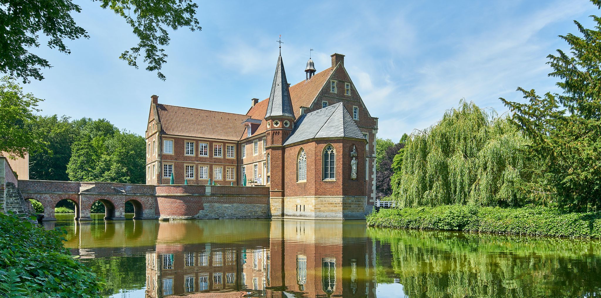
100 Castles Route – Discover the historical treasures of Münsterland by bike
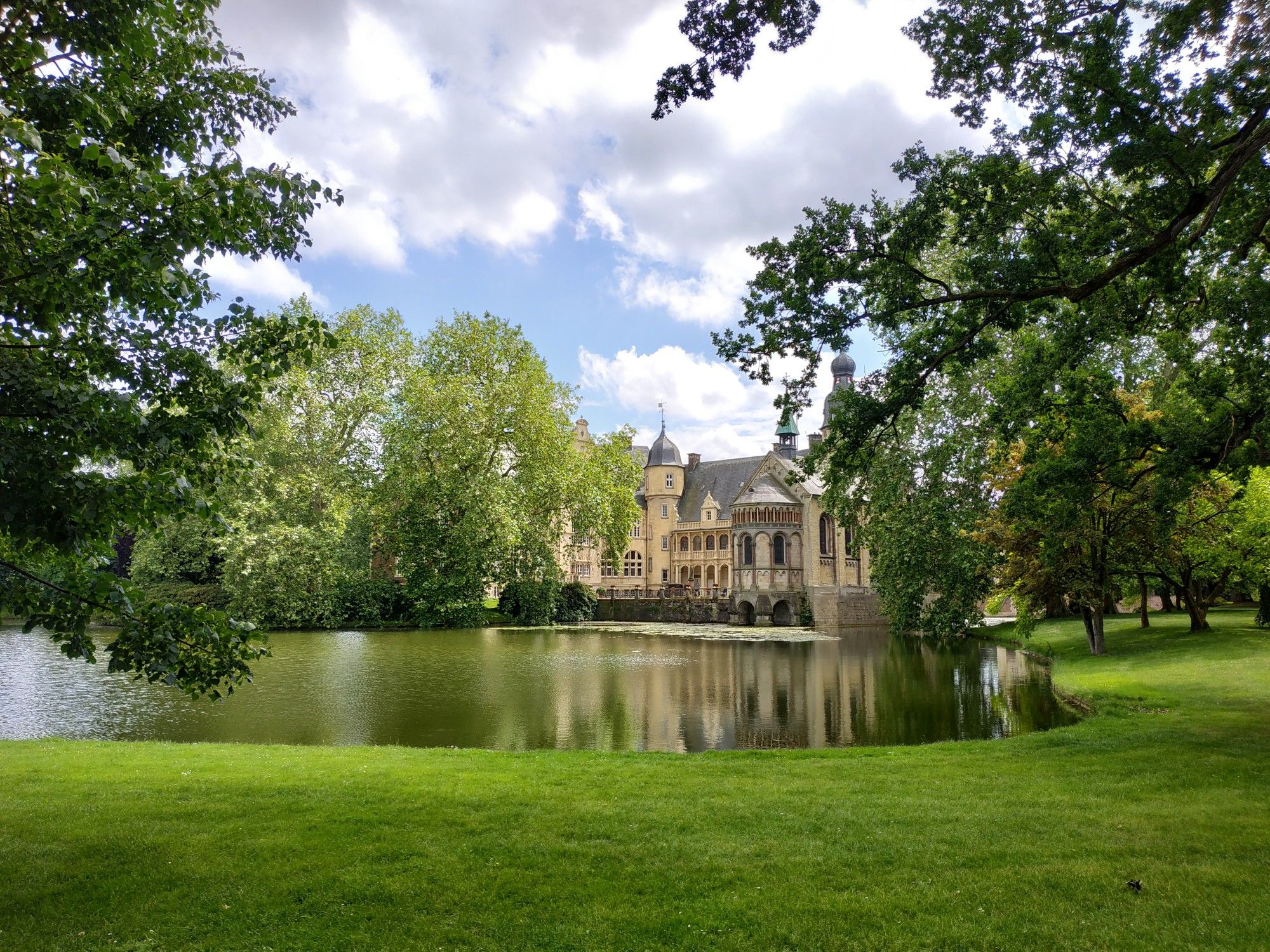
Summits in Münsterland — cycling in the Baumberge hills
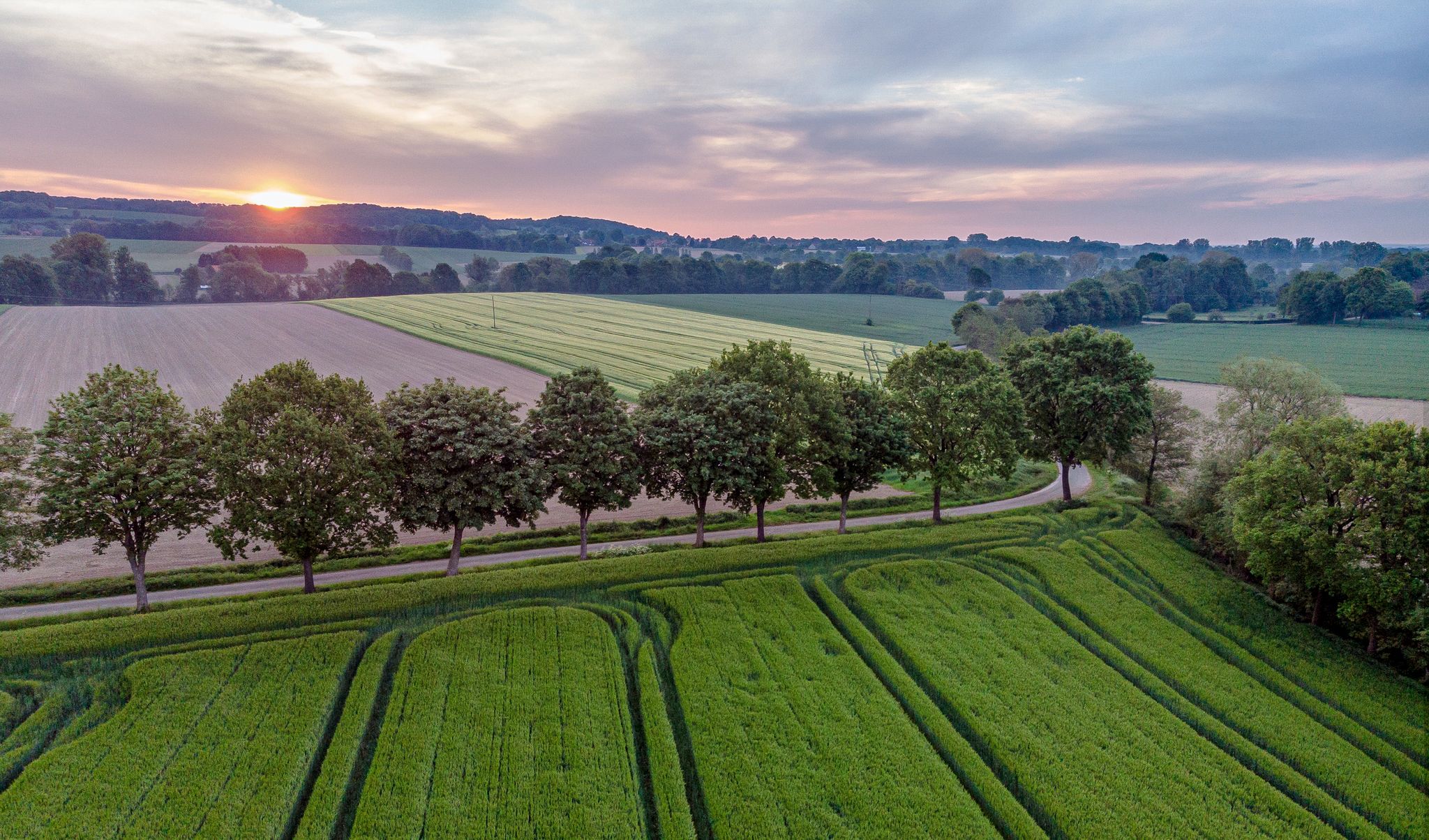
Culture and Pättken paths — rides in the Baumbergse hills
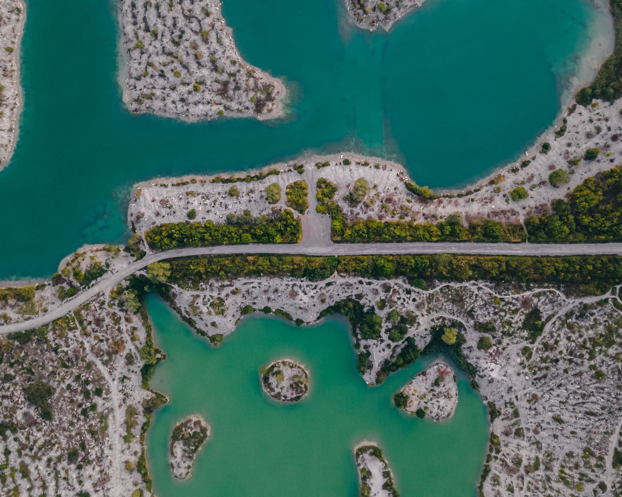
Quiet paths and stunning views — hiking through Münsterland
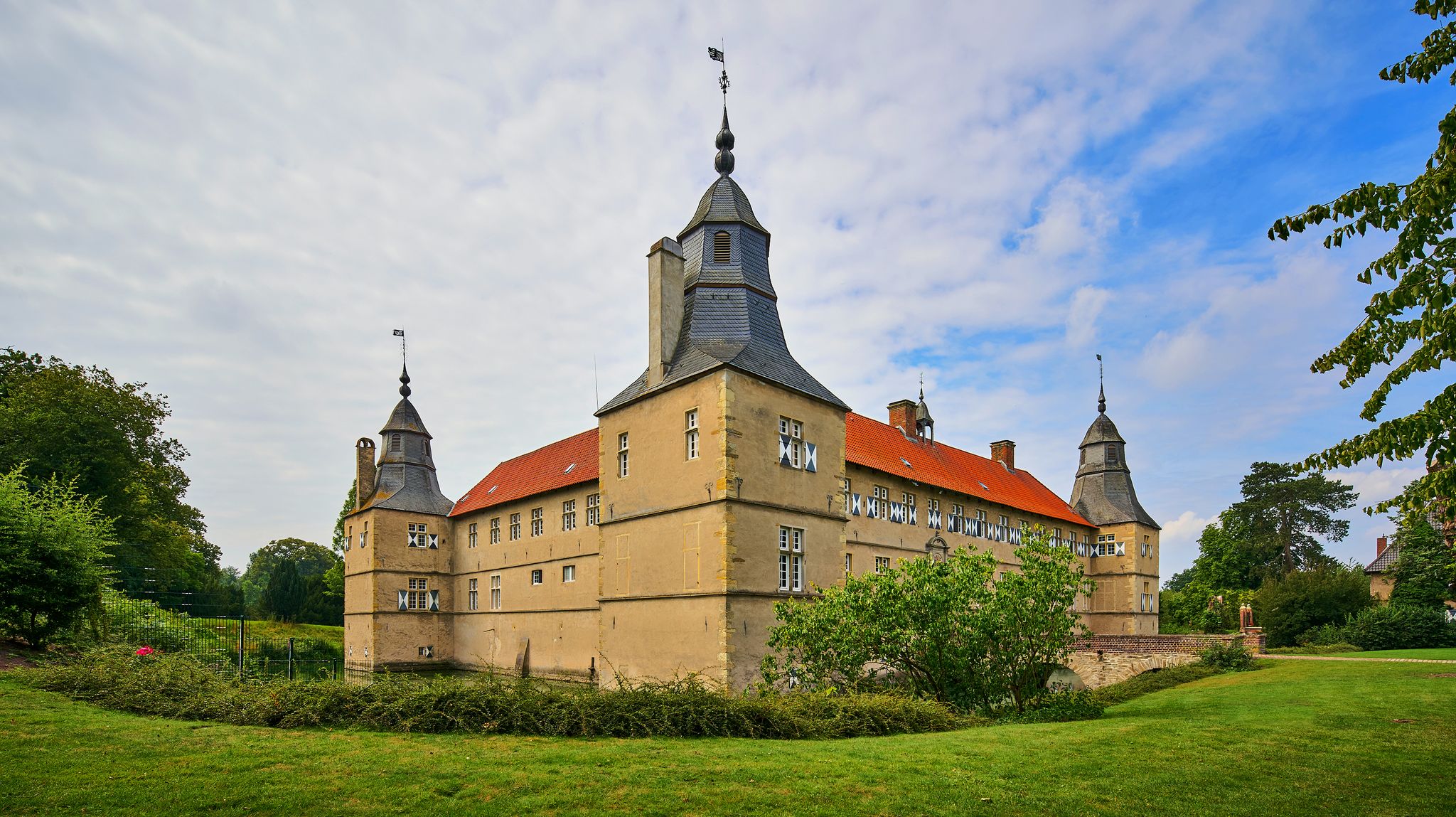
Cycling day trips to the most beautiful castles and palaces in Münsterland
Cycling day trips to the most beautiful castles and palaces in Münsterland
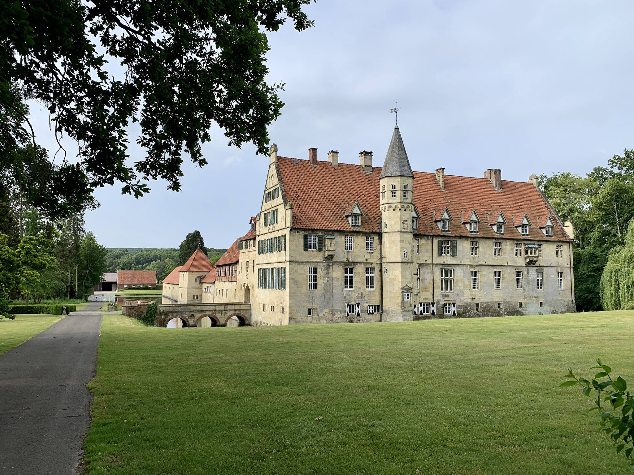
Following the Sandstone route through Münsterland in 3 stages
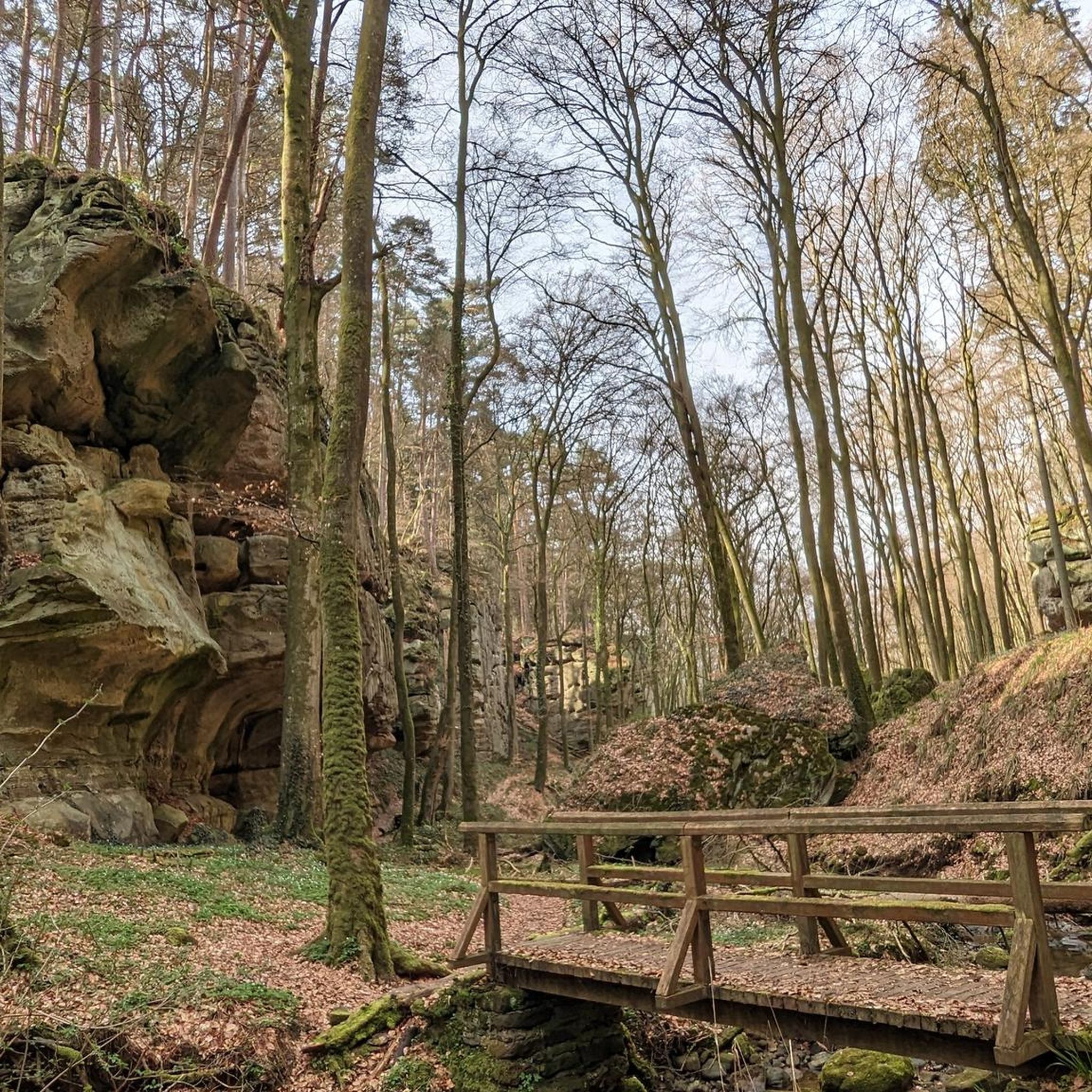
Traffic-free bike rides around Billerbeck
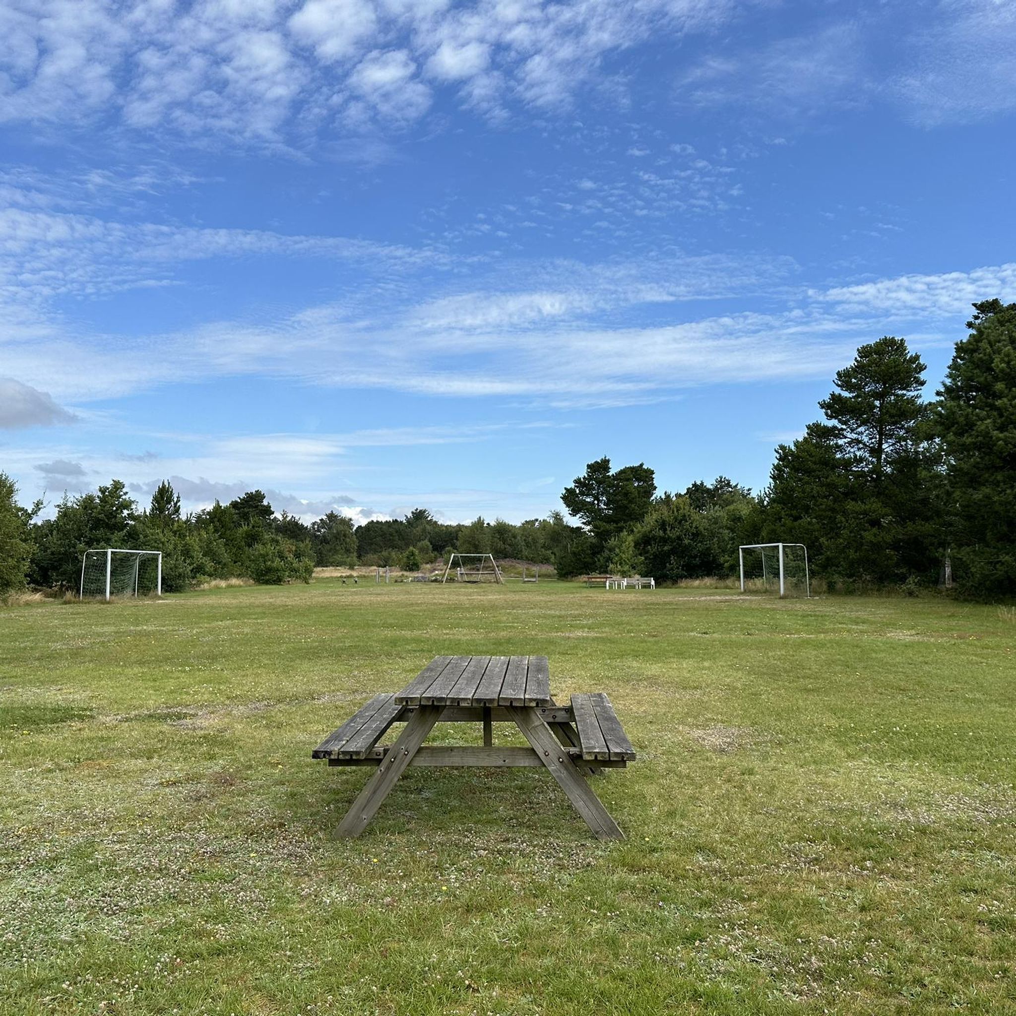
Traffic-free bike rides around Billerbeck
Other adventures around Billerbeck


Tips from the Community

A very great section! However, the paths are really very, very narrow and sometimes barely recognizable. Mutual consideration is definitely required. This path is more of a trail through roots, leaves, and also rolling gravel.
0
0

A beautiful bike and hiking trail on the Berkel
1
0

The striking monastery building can be seen from afar.
2
0

🏰✨ The Cathedral was built on the spot where Saint Ludgerus, the first bishop of Münster, died on March 26, 809. His house of death is today integrated as a chapel into the southern tower of the church, making the place a significant pilgrimage site.
2
0
🏰✨ Gemini said: „The St. Ludgerus Cathedral in Billerbeck is one of the most impressive structures in Münsterland and is known far beyond the borders of the Baumberge as the ‘Cathedral of the Baumberge’.“ It is not only a spiritual center but also an architectural masterpiece made of the typical light-colored Baumberger sandstone.
2
0

Vorbergs Hügel is a nature reserve designated in 1994, covering 311.62 hectares, in the northwest of the Westphalian city of Münster. The namesake Vorbergshügel (99.4 m above sea level) and the Mühlenberg (97.9 m above sea level) to the northwest rise about 40 meters above the city area and form its highest elevations. Vorbergs Hügel begins west of Kinderhaus and ends at the city limits, from where the Altenberger Höhenrücken seamlessly continues to the northwest. On the southern side is the Nienberge district, and on the northern side is Häger. Vorbergs Hügel is the most significant forest area in the north of Münster. Deciduous forest dominates the hill chain, and the summits are covered with forest. Typical are hedges and hedge-like vegetation cultures, which also extend through the hilly landscape. In a few places, Vorbergs Hügel is interrupted by fields. Thus, the hills are a typical part of the Münsterland park landscape. Rare plants find their habitat in the hill chain, including yellow rattle and wild garlic, bear bean, meadow foenugreek, and millet sedge. 47 plants that are on the red list of endangered species occur in the hill chain. This was one of the reasons, among others, why Vorbergs Hügel was designated as a nature reserve in 1998.
0
0
This graceful path is definitely worth a visit.
0
0
There are more of these pretty little creatures in the NSG Vorbergs Hügel.
0
0
Frequently Asked Questions
How many no-traffic gravel bike trails are available around Billerbeck?
There are 16 dedicated no-traffic gravel bike trails around Billerbeck, offering a variety of experiences for all skill levels.
What kind of terrain can I expect on these traffic-free gravel routes in Billerbeck?
You'll find a diverse mix, from the gentle, verdant park landscape to the rolling Baumberge Hills. Many routes follow the scenic Berkel River, and you might encounter distinctive sandstone structures. While primarily gravel, some segments may be unpaved, providing the varied terrain that gravel cyclists seek.
Are there any circular no-traffic gravel routes in the Billerbeck area?
Yes, many of the traffic-free gravel routes around Billerbeck are designed as loops, allowing you to start and end at the same point. For example, the Kalki – Coesfeld Heath – Berkel Riverside Trail loop from Coesfeld Schulzentrum is a great circular option covering nearly 29 km.
What are the difficulty levels of the no-traffic gravel trails?
The trails cater to various abilities. You'll find 9 easy routes, 4 moderate routes, and 3 more challenging options. An example of an easy route is the Schlautbach Forest Trail – Gasselstiege Forest Path loop from Hohenholte, while the Varlar Castle – Varlar Castle loop from Coesfeld Schulzentrum offers a more difficult ride with over 200 meters of elevation gain.
Are there any interesting landmarks or natural features to see along the no-traffic gravel routes?
Absolutely! The region is rich in natural beauty and historical sites. You can explore the Gasselstiege Trail in the Vorbergs Hügel Nature Reserve, discover the Baumberge Landwehr, or enjoy the serene Bulderner Lake. The area is also known for its distinctive sandstone structures and the scenic Berkel River.
What do other gravel bikers enjoy most about the traffic-free routes in Billerbeck?
The komoot community highly rates the traffic-free gravel routes around Billerbeck, with an average score of 4.7 stars. Reviewers often praise the peacefulness of the trails, the diverse landscapes ranging from parkland to gentle hills, and the excellent network of paths that allow for uninterrupted riding.
Are there any family-friendly no-traffic gravel routes suitable for beginners?
Yes, the extensive network of cycling paths includes several easy, traffic-free options perfect for families or beginners. These routes often feature gentle gradients and scenic surroundings, allowing for a relaxed ride. The Kalki – Coesfeld Heath – Berkel Riverside Trail loop is an easy 29 km route that could be suitable.
Can I access these gravel trails using public transport?
Billerbeck is well-connected within the Münsterland region. While specific public transport access points for each trail vary, the general area is accessible by train and bus, making it possible to reach starting points for many routes without a car. It's advisable to check local transport schedules for the most convenient connections to your chosen trail's starting point.
Are there places to stop for refreshments or cafes along the no-traffic gravel routes?
Yes, the Münsterland region is known for its charming towns and villages, many of which offer cafes and pubs. While the trails themselves are traffic-free, you'll often find opportunities to detour slightly into nearby communities like Nottuln or Coesfeld for a break and refreshments. The region's focus on cycling means many establishments are cyclist-friendly.
What is the best time of year to ride the no-traffic gravel bike trails in Billerbeck?
The spring and autumn months are generally ideal for gravel biking in Billerbeck, offering pleasant temperatures and beautiful scenery as the landscape changes. Summer can also be enjoyable, especially on shaded forest paths. While winter riding is possible, be prepared for colder temperatures and potentially muddy conditions on unpaved sections.
Are there any long-distance no-traffic gravel routes for experienced riders?
For experienced riders looking for a longer challenge, the region offers routes that can be combined or are inherently longer. The Berkel Lake, Vreden – Berkel Riverside Trail loop from Coesfeld (Westf) is a difficult route spanning over 89 km with more than 200 meters of elevation gain, providing a substantial ride on traffic-free paths.
Most popular attractions around Billerbeck

Get inspired with the komoot mobile app


Explore more
Browse the best Gravel rides in other regions.
