The best traffic-free bike rides around Crailsheim
4.5
(166)
1,406
riders
33
rides
No traffic road cycling routes around Crailsheim are set within the Hohenlohe region of Baden-Württemberg, characterized by picturesque river valleys such as the Jagst, Kocher, and Bühler. Beyond these valleys, the landscape transitions into rolling hills and the open Hohenlohe plain, offering varied elevation profiles. Extensive forests, including parts of the Frankenhöhe Nature Park, provide shaded segments and diverse scenery for road cyclists. The region features a well-developed network of cycling paths, catering to different fitness levels.
Best no traffic…
Last updated: May 14, 2026
5.0
(1)
29
riders
44.9km
01:57
270m
270m
Moderate road ride. Great for any fitness level. Some segments of this route may be unpaved and difficult to ride.
5.0
(2)
23
riders
63.9km
02:46
440m
440m
Moderate road ride. Good fitness required. Mostly well-paved surfaces and easy to ride.

Sign up for free
5.0
(2)
16
riders
50.7km
02:20
350m
350m
Moderate road ride. Good fitness required. Some segments of this route may be unpaved and difficult to ride.
5.0
(2)
13
riders
89.2km
04:07
860m
860m
Moderate road ride. Good fitness required. Mostly well-paved surfaces and easy to ride.
5.0
(2)
9
riders
79.1km
03:24
540m
540m
Moderate road ride. Good fitness required. Mostly well-paved surfaces and easy to ride.
Get access to more routes and recommendations from other explorers.
Sign up for free
Already have an account?
Our route recommendations are based on thousands of hikes, rides, and runs completed by other people on komoot.
Start today with a free account
Your next adventure awaits.
Login or Signup
Popular around Crailsheim

Main-Danube-Lake Constance Trail – Along iconic waters

Germany's Hohenlohe-Ostalb Cycle Route – From idyllic valleys to the Swabian Alb
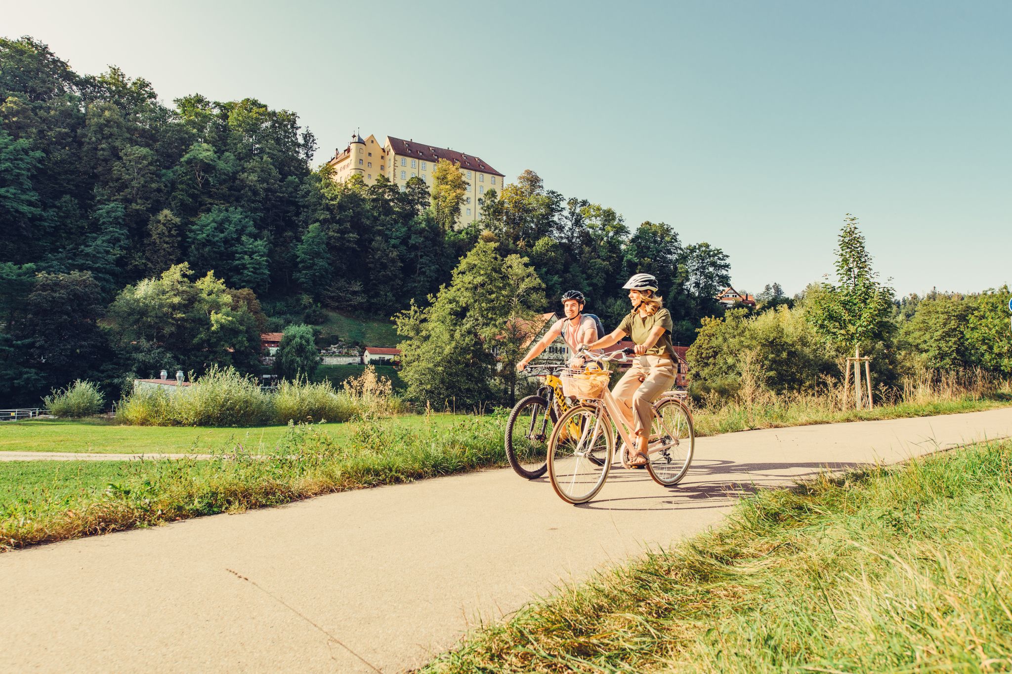
6 stages on the Kocher-Jagst cycle path through southern Germany
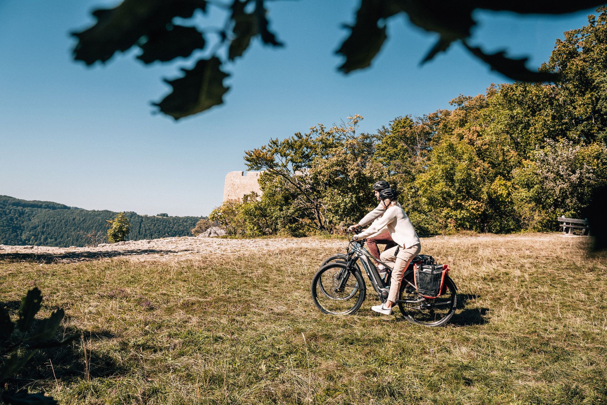
Breathe in the mountain air – long-distance cycle paths in the Swabian Alb
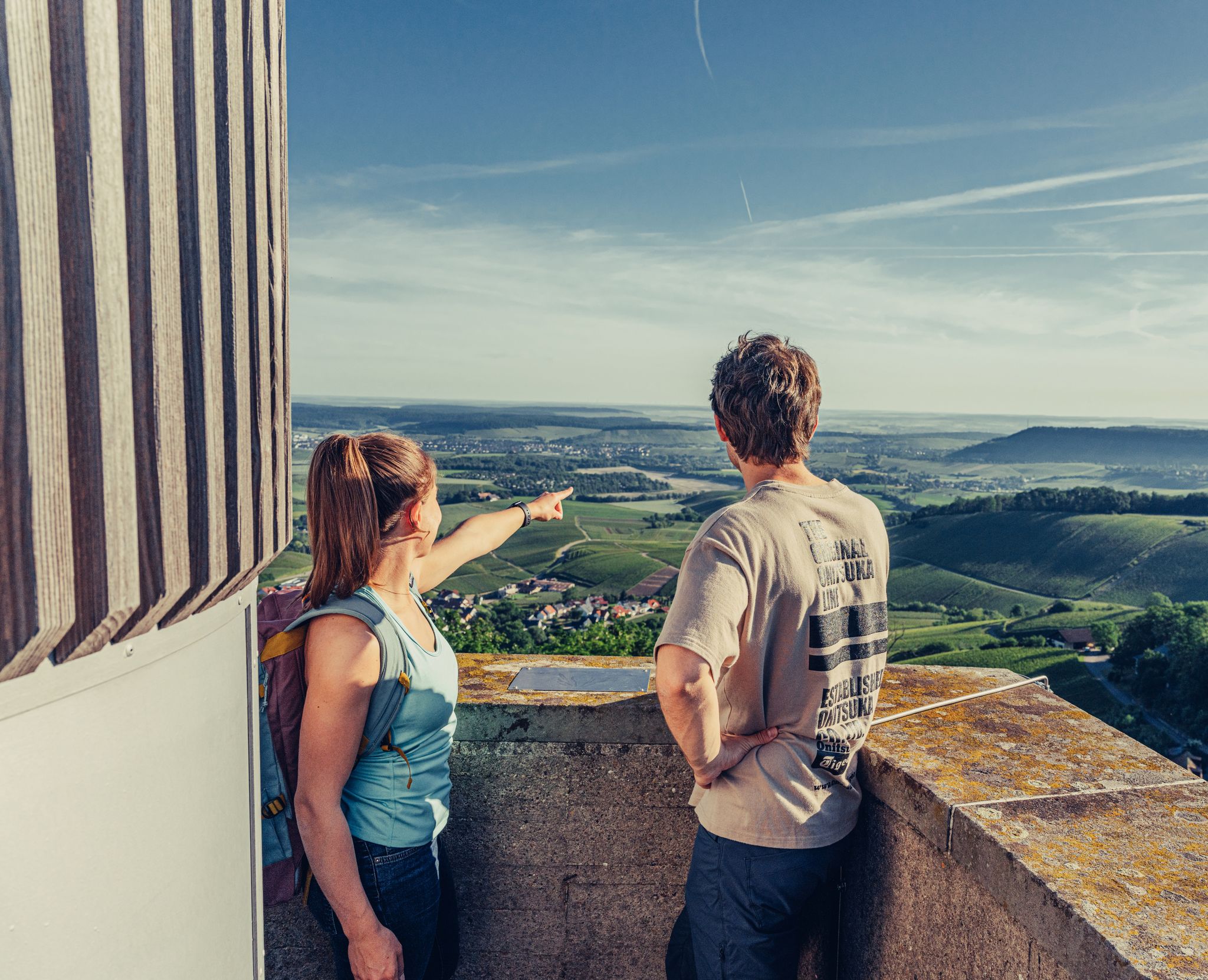
Ride to the most beautiful viewpoints in northern Baden-Württemberg
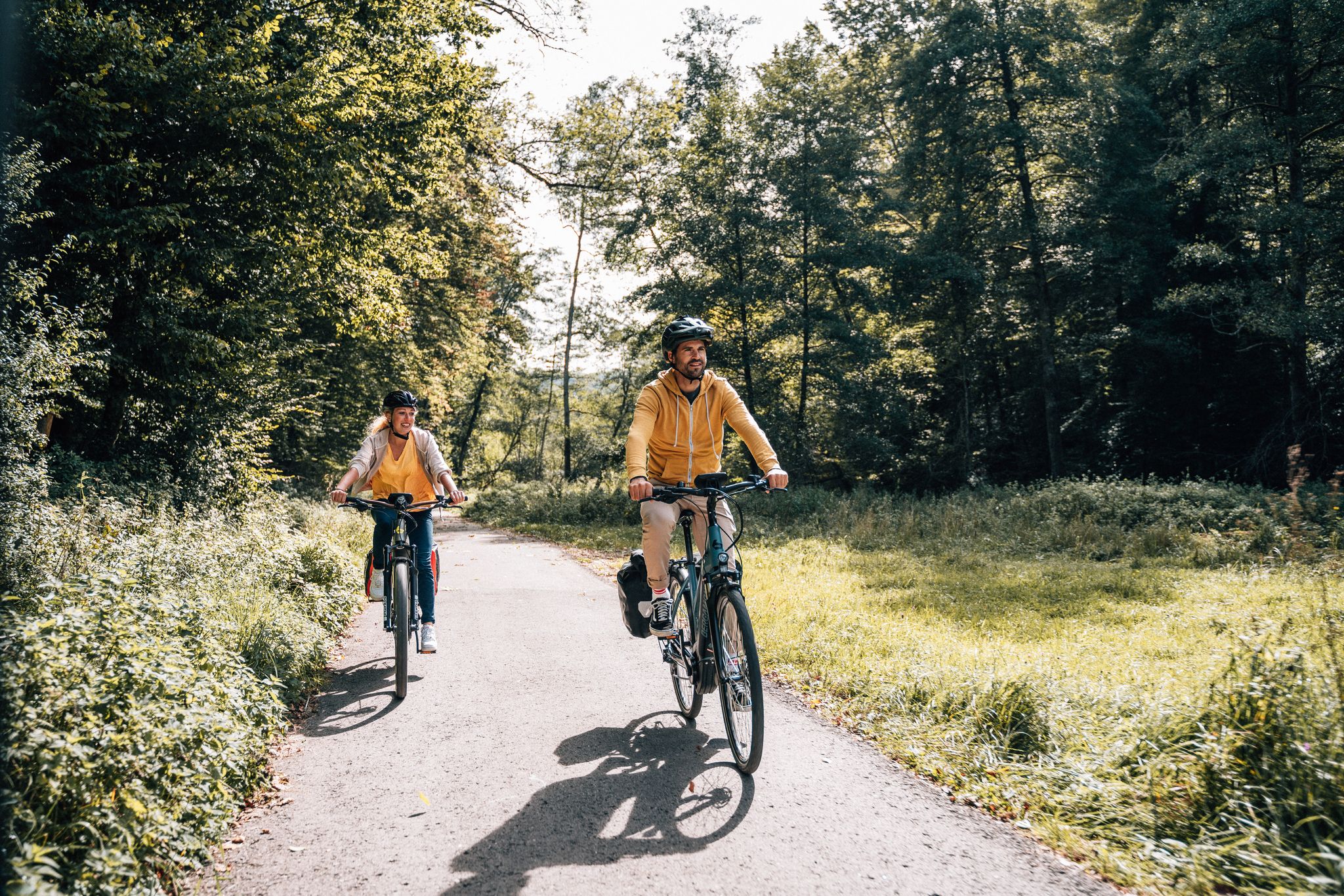
Cycle touring trio in the Swabian Alb
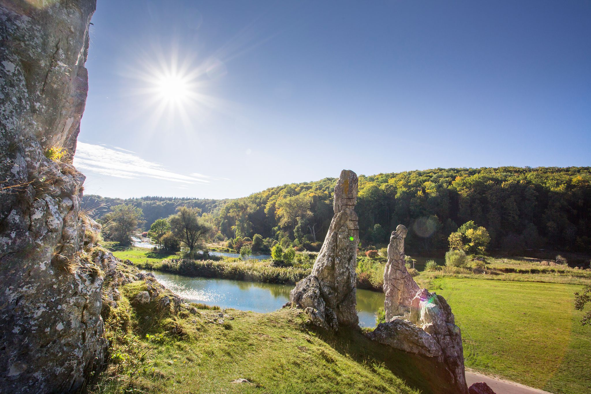
Picturesque valleys on Germany’s Württemberg Valley Cycle Path
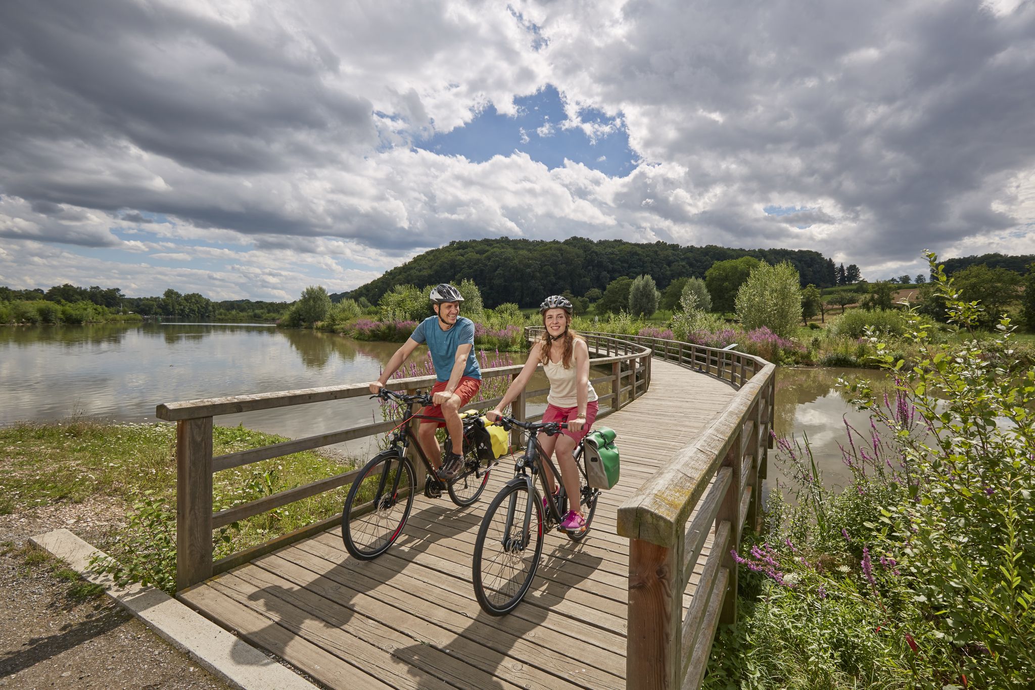
Long-distance cycle routes in Baden-Württemberg – endless rivers and lakes
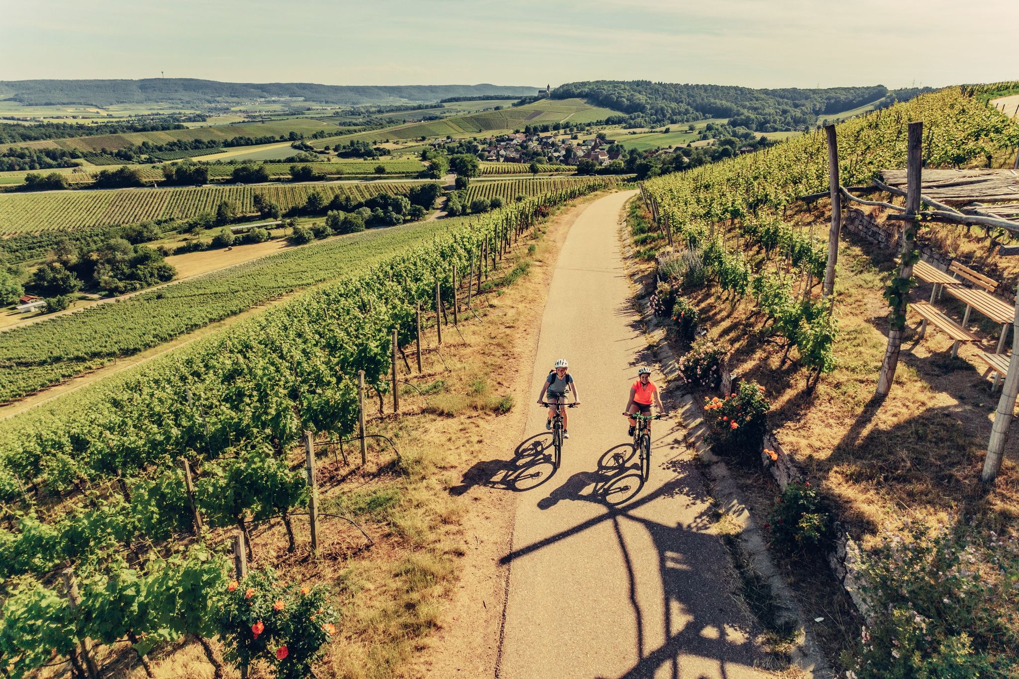
E-bike day Tours along the Tauber, Kocher, Jagst and Neckar rivers
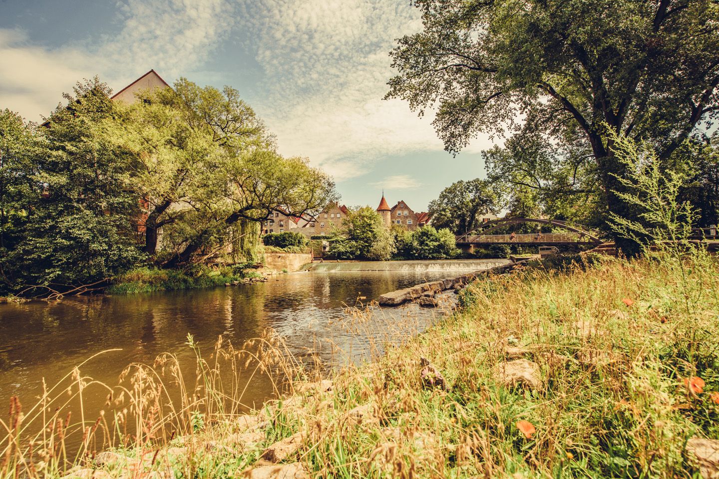
Relaxed river riding in Germany – Kocher-Jagst Cycle Path
Other adventures around Crailsheim


Tips from the Community

The **Jewish Cemetery Michelbach an der Lücke** is an important historical memorial site in the district of Schwäbisch Hall. ### History The cemetery was established **around 1840/41**, as the Jewish community previously had to bury their dead in distant Schopfloch. The **first burial took place in 1841**, the **last in 1939**. It served not only Michelbach but also surrounding communities without their own cemetery. ### Appearance The site covers approximately **2,300 m²** and comprises around **270 gravestones**. It is surrounded by a wall and divided by paths. As is customary in Jewish cemeteries, the graves are preserved permanently and are not reused. ### Significance The cemetery is a central testament to the once large Jewish community in Michelbach. After its destruction during the Nazi era, it remained as a silent place of remembrance. ### Conclusion Today, the cemetery commemorates Jewish life in the region and holds great cultural and historical significance.
0
0

Beautiful bike path next to the county road between Goldbach and Crailsheim. Excellent surface. No bumps or potholes. Rest area and beautiful scenery included.
1
0

View of the Jagst under the bridge
3
0

Three-story two-wing building with plastered structures and gable roof, 1720/24
1
0
Town Hall Tower Gable front with protruding five-story massive tower, the top floor in octagonal form with Italianate dome and lantern, flanked by narrow side sections with volute gables that connect to the tower, the facades framed by pilaster strips, the entrance in a concave, grooved niche with a Margravial coat of arms cartouche between Brandenburg eagles, above an inscription plaque; built on behalf of Margrave Friedrich Wilhelm by Chief Building Director Carl Friedrich von Zocha from 1717 to 1719
2
0
Single-nave hall building with gable roof, slightly recessed, three-sided polygonal choir, sacristy extension with steep pent roof, high west tower with octagonal bell storey under double-curved Welsch hood, consecrated in 1393, tower added in 1477 and raised in 1728,
2
0
Neo-Romanesque hall church with a strongly recessed polygonal choir, 1853/54, lower floors of the tower medieval, 1738
1
0

Beautiful view of the Jagst.
3
0
Frequently Asked Questions
How many no-traffic road cycling routes are available around Crailsheim?
There are over 30 dedicated no-traffic road cycling routes around Crailsheim, offering a variety of distances and elevations. Most of these routes are rated as moderate, providing a good balance for many cyclists.
What kind of terrain can I expect on these no-traffic road cycling routes?
The Crailsheim region, nestled within Hohenlohe, offers diverse terrain. You'll find picturesque river valleys, such as those of the Jagst, Kocher, and Bühler, which often provide gentler, scenic rides. Beyond these, the landscape features rolling hills and open plateaus, offering more challenging sections with rewarding panoramic views.
Are there options for different fitness levels on the no-traffic road cycling routes?
Yes, the routes cater to various fitness levels. While most of the 30+ routes are rated as moderate, there are also a few easier options for a more relaxed ride, and some more challenging routes for experienced cyclists looking for greater elevation gain.
What historical sites or landmarks can I see along the no-traffic road cycling routes near Crailsheim?
Many routes pass by historical attractions. For instance, you can explore the Historic Old Town of Kirchberg an der Jagst or the Vellberg Old Town. Some routes also offer views of impressive structures like Schloss Kirchberg or the historic Rechenberg Castle.
Are there any scenic viewpoints on the no-traffic road cycling routes?
Absolutely. The rolling hills and plateaus of the Hohenlohe region provide numerous opportunities for stunning vistas. While specific viewpoints vary by route, the general landscape ensures many scenic overlooks, especially from higher elevations or along river valleys.
Is parking available near the starting points of these no-traffic routes?
Yes, Crailsheim and the surrounding towns are generally well-equipped with parking facilities. Many routes can be accessed from various points, and you'll often find designated parking areas in villages or near popular trailheads, especially for longer regional cycle paths like the Kocher-Jagst Cycle Route.
Can I reach the no-traffic cycling routes around Crailsheim by public transport?
The Hohenlohe region has public transport connections, including train and bus services, that can help you reach Crailsheim and nearby towns. Many services are bike-friendly, allowing you to bring your bicycle, though it's always advisable to check specific schedules and bike carriage policies with the local transport providers beforehand.
Are there places to eat or refuel along the no-traffic road cycling routes?
Yes, the region is known for its hospitality. Along many routes, especially those passing through villages or along major cycle paths, you'll find cozy inns, traditional restaurants, and farm shops where you can sample regional specialties and refuel during your ride.
What is the best time of year for no-traffic road cycling in the Crailsheim region?
Spring, summer, and early autumn are generally the most pleasant seasons for road cycling in the Crailsheim region. The weather is typically mild, and the landscapes are vibrant. During these months, you'll find the best conditions for enjoying the river valleys, rolling hills, and extensive cycling network.
Are there any longer, challenging no-traffic road cycling routes for experienced riders?
Yes, for those seeking a longer challenge, routes like the View of Hesselberg – Hesselberg Summit loop from Crailsheim offer nearly 90 km of riding with significant elevation gain, providing a demanding yet rewarding experience through varied landscapes.
Can I find circular no-traffic road cycling routes around Crailsheim?
Many of the no-traffic road cycling routes around Crailsheim are designed as loops, allowing you to start and end at the same point. An example is the Jewish Cemetery – Schloss Tempelhof loop from Crailsheim, which covers over 60 km and offers a great circular tour.
What do other road cyclists enjoy most about no-traffic road cycling in Crailsheim?
The no-traffic road cycling routes around Crailsheim are highly rated by the komoot community, with an average score of 4.5 stars. Reviewers often praise the quiet, well-maintained roads, the diverse and scenic landscapes, and the feeling of being immersed in nature without vehicle interference.
Most popular routes around Crailsheim
Most popular attractions around Crailsheim

Get inspired with the komoot mobile app


Explore more
Browse the best Road cycling routes in other regions.
