The best traffic-free bike rides around Buchenberg
4.4
(501)
3,241
riders
154
rides
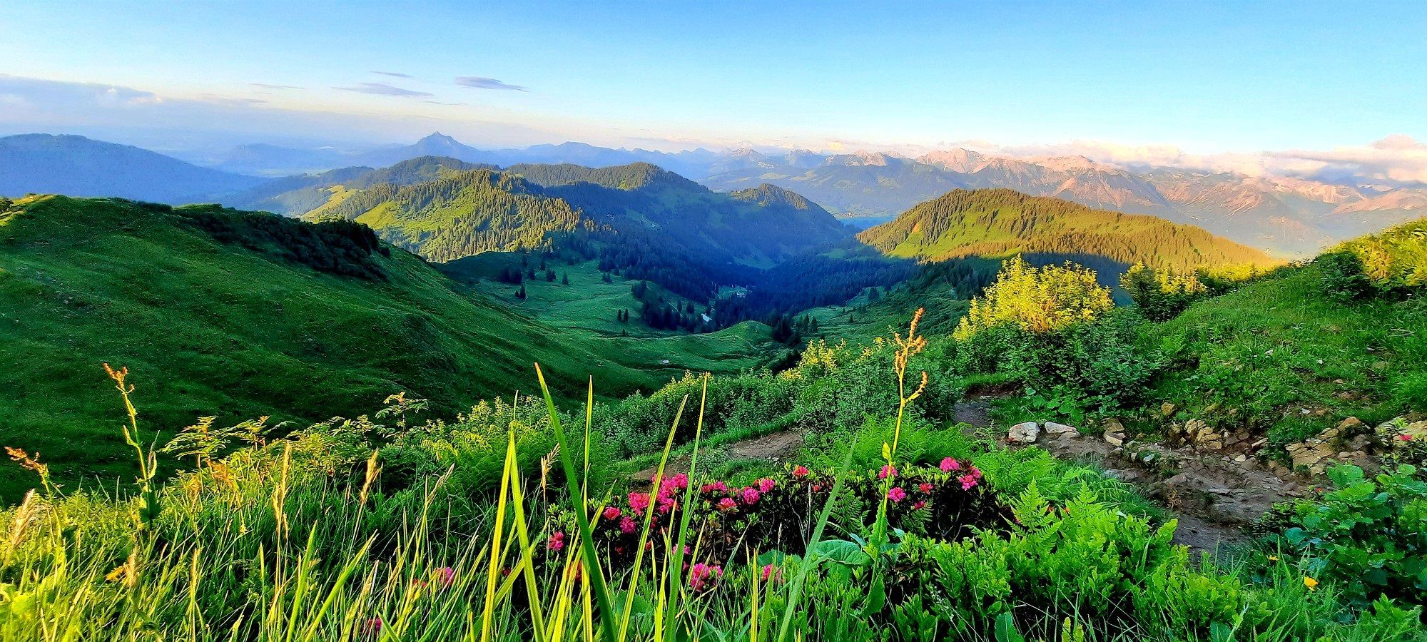
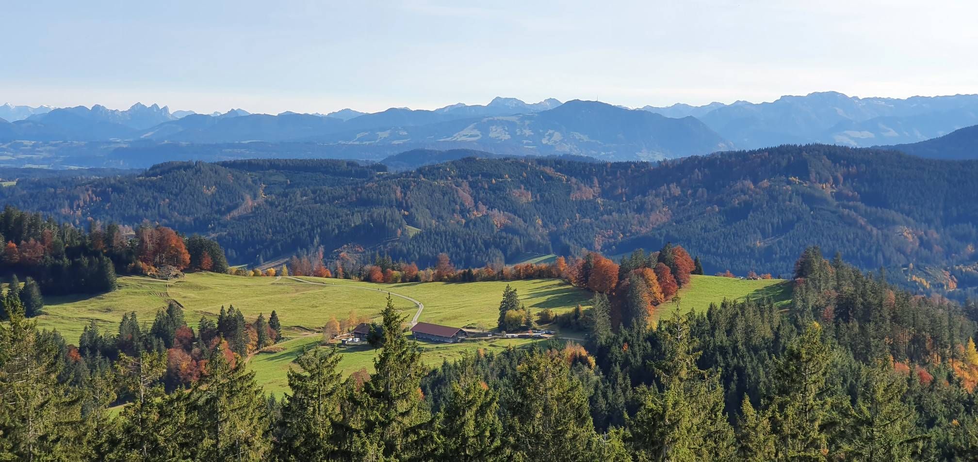
Gravel biking around Buchenberg offers diverse terrain in the pre-Alpine hill and moorland of the Allgäu. The region is characterized by gently rolling Alpine foothills, which provide varied routes through meadows, forests, and river valleys. Situated at an elevation of approximately 1,000 meters, Buchenberg provides a scenic backdrop with panoramic views, including distant mountain peaks. Moorland areas also offer unique gravel paths, adding to the variety of the landscape.
Best no traffic gravel bike trails around Buchenberg
- The most popular no traffic gravel bike trail is Iller Gorge – Iller Dam loop from Wiggensbach, a 45.3 miles (73.0 km) difficult trail that takes 4 hours 40 minutes to complete. This route features significant elevation gain through varied terrain.
- Another top favourite among local gravel bikers is Iller Cycle Route – View of the Allgäu Alps loop from Buchenberg, a difficult 25.2 miles (40.6 km) path. This route offers views of the Allgäu Alps and follows sections of the Iller Cycle Route.
- Local gravel bikers also love the View of the Allgäu Alps – Old Railway Embankment Path loop from Buchenberg, a 12.3 miles (19.9 km) trail leading through the pre-Alpine landscape, often completed in about 1 hour 8 minutes.
- Gravel biking around Buchenberg is defined by rolling Alpine foothills, moorland, and river valleys, offering a mix of ascents and flatter sections. The network provides options for different ability levels, from moderate paths to more challenging routes.
- The routes in Buchenberg are highly rated by the komoot community with an average score of 4.5 stars from more than 300 reviews. More than 2,300 gravel bikers have used komoot to explore Buchenberg's varied terrain.
Last updated: October 27, 2026
4.5
(4)
34
riders
39.0km
02:17
350m
350m
Hard gravel ride. Good fitness required. You may need to push your bike for some segments of this route.
4.0
(1)
19
riders
73km
04:40
1,010m
1,010m
Hard gravel ride. Very good fitness required. Mostly paved surfaces.

4.6
(20)
172
riders
43.4km
02:20
320m
320m
Moderate gravel ride. Good fitness required. Mostly paved surfaces.
4.5
(27)
95
riders
38.9km
02:09
360m
360m
Moderate gravel ride. Good fitness required. Mostly paved surfaces.
4.3
(4)
20
riders
Hard gravel ride. Very good fitness required. Mostly paved surfaces.
Get access to more routes and recommendations from other explorers.
Already have an account?
Our route recommendations are based on thousands of hikes, rides, and runs completed by other people on komoot.
Start today with a free account
Your next adventure awaits.


Other adventures around Buchenberg


Tips from the Community

The Bachtelweiher is not a great swimming lake for various reasons and has even been closed in the past. Due to the low water exchange, a lot of mud settles and fertilizers from the surrounding fields collect in the lake.
0
0
Schneiders Brotzeitstüberl no longer exists.
0
0
Schon seltsam, man geht im Allgäu radeln und fährt durch den Wald. Das geht überall in Deutschland. Zu beiden Seiten der Iller gibt es wunderschöne Straßen mit wenig Autoverkehr und viel Bergsicht.
0
0
Tastes differ and that's a good thing, but as a Kempten local, I have crossed the Illerweg from Hegge via Martinszell to Stein off my list because it is partly very (too) narrow up to Hegge, leads a lot through the forest, and the mountain view is limited. I don't need to travel to the beautiful Allgäu for routes through the forest. There are 2 great roads next to the Iller.
0
0

Nice destination for an outing, also with children
0
0
I live in Kempten and am here to eat cake, which is really delicious. Unfortunately, it is very crowded, either at lunchtime or from 4:30 PM to 5:30 PM, after which the late shift arrives with many reservations. The food is rather simple with room for improvement.
0
0
This is Kronburg Castle, near Obergünzburg there is the "Schlossmühle Liebenthann" with the former inn.
0
0
It's strange, you go cycling in the Allgäu and ride through the forest. This can happen anywhere in Germany. On both sides of the Iller river, there are beautiful roads with little car traffic and mountain views.
0
0
Frequently Asked Questions
How many traffic-free gravel bike trails are available in Buchenberg?
Buchenberg offers a wide selection of traffic-free gravel bike trails, with over 160 routes available. These trails cater to various skill levels, ensuring there's something for everyone, from easy rides to more challenging adventures.
What kind of terrain can I expect on Buchenberg's traffic-free gravel trails?
The terrain around Buchenberg is wonderfully diverse, perfect for gravel biking. You'll encounter gently rolling Alpine foothills, serene moorland paths, and picturesque river valleys, often traversing meadows and forests. This mix provides both challenging ascents and relaxed, flatter sections, all while enjoying the pre-Alpine landscape.
Are there any easy, family-friendly gravel routes without traffic in Buchenberg?
Yes, Buchenberg has several easy, traffic-free gravel routes suitable for families. For a pleasant ride, consider the View of the Allgäu Alps – Old Railway Embankment Path loop from Buchenberg. This moderate 19.8 km route offers gentle gradients and scenic views, making it a great option for a relaxed outing.
Can I bring my dog on the gravel bike trails in Buchenberg?
Many of the traffic-free gravel trails in Buchenberg are suitable for riding with dogs, especially those that follow wider forest paths or quiet country roads. Always ensure your dog is well-behaved and, if required, kept on a leash. It's also wise to check specific trail regulations and carry water for your pet.
Are there any circular gravel bike routes in Buchenberg?
Yes, many of the gravel bike routes in Buchenberg are designed as circular loops, allowing you to start and end at the same point. An excellent example is the Iller Cycle Route – View of the Allgäu Alps loop from Buchenberg, a challenging 40.5 km ride that offers stunning panoramic views.
What are the best times of year to go gravel biking in Buchenberg?
The best seasons for gravel biking in Buchenberg are generally spring, summer, and autumn. During these months, the weather is typically pleasant, and the trails are in good condition. Spring brings blooming landscapes, summer offers warm days, and autumn provides beautiful foliage. Winter can be challenging due to snow and ice, though some trails might be accessible depending on conditions.
Where can I find scenic viewpoints or landmarks along the traffic-free gravel routes?
Buchenberg's elevated position offers numerous scenic viewpoints. Many routes provide panoramic views of the Allgäu region, and on clear days, you might even spot Lake Constance and Switzerland. For specific natural attractions, consider routes that pass near highlights like the Niedersonthofen Waterfall or the Geratser Waterfall.
Are there any cafes or places to stop for refreshments along the gravel trails?
While specific cafes directly on every traffic-free trail can vary, many routes pass through or near small villages and hamlets where you can find traditional Bavarian inns or guesthouses offering refreshments. Planning your route with a stop in mind is recommended, especially for longer rides.
What do other gravel bikers enjoy most about gravel biking in Buchenberg?
The komoot community highly rates gravel biking in Buchenberg, with an average score of 4.46 out of 5 stars from over 300 ratings. Reviewers often praise the region's diverse and quiet trails, the stunning panoramic views of the Alpine foothills, and the overall peaceful experience of riding away from traffic.
Are there any challenging gravel routes for experienced riders in Buchenberg?
Absolutely. For experienced gravel bikers seeking a challenge, Buchenberg offers several difficult routes. The Iller Gorge – Iller Dam loop from Wiggensbach is a demanding 72.9 km route with over 1000 meters of elevation gain, providing a significant workout and rewarding views.
How accessible are the gravel trails in Buchenberg by public transport?
Buchenberg is a state-recognized climatic health resort, and while public transport options exist, direct access to specific trailheads might require some planning. Regional bus services connect Buchenberg with larger towns, from where you can often cycle to the start of your chosen traffic-free gravel route. Always check local bus schedules and bike transport policies in advance.
Where can I park my car when starting a gravel bike tour in Buchenberg?
Parking is generally available in and around Buchenberg, particularly in the village center or near popular starting points for outdoor activities. Look for designated public parking areas. When planning your route, consider starting from a location like Buchenberg itself or Wiggensbach, where parking is typically more accessible.
Are there any hidden or less crowded gravel trails in Buchenberg?
Given Buchenberg's extensive network of trails, it's possible to find less crowded options, especially away from the most popular viewpoints. Exploring routes that delve deeper into the moorland or lesser-known forest paths can offer a more secluded experience. The region's natural features, like the Ybbs River valleys, often provide peaceful stretches perfect for quiet riding.
Most popular routes around Buchenberg
Most popular attractions around Buchenberg

Get inspired with the komoot mobile app


Explore more
Browse the best Gravel rides in other regions.
