The best traffic-free bike rides around Bayerisch Gmain
4.5
(476)
11,049
riders
32
rides
No traffic road cycling routes around Bayerisch Gmain are situated within the Berchtesgadener Land region, characterized by its alpine foothills, river valleys, and proximity to the Bavarian Alps. The landscape features a mix of rolling terrain, the Saalach River valley, and views of the Lattengebirge Massif. This area provides diverse settings for road cycling, from routes along waterways to those with more varied elevation.
Best no traffic road cycling routes around Bayerisch Gmain
- The most popular no traffic road cycling…
Last updated: October 13, 2026
4.3
(12)
250
riders
Moderate road ride. Good fitness required. Some segments of this route may be unpaved and difficult to ride.
4.8
(16)
293
riders
Moderate road ride. Good fitness required. Some segments of this route may be unpaved and difficult to ride.

4.0
(3)
83
riders
37.7km
01:35
150m
150m
Easy road ride. Great for any fitness level. Mostly well-paved surfaces and easy to ride.
4.5
(8)
130
riders
30.7km
01:37
390m
390m
Moderate road ride. Good fitness required. Some segments of this route may be unpaved and difficult to ride.
4.0
(5)
180
riders
Moderate road ride. Good fitness required. Mostly well-paved surfaces and easy to ride.
Get access to more routes and recommendations from other explorers.
Already have an account?
Our route recommendations are based on thousands of hikes, rides, and runs completed by other people on komoot.
Start today with a free account
Your next adventure awaits.
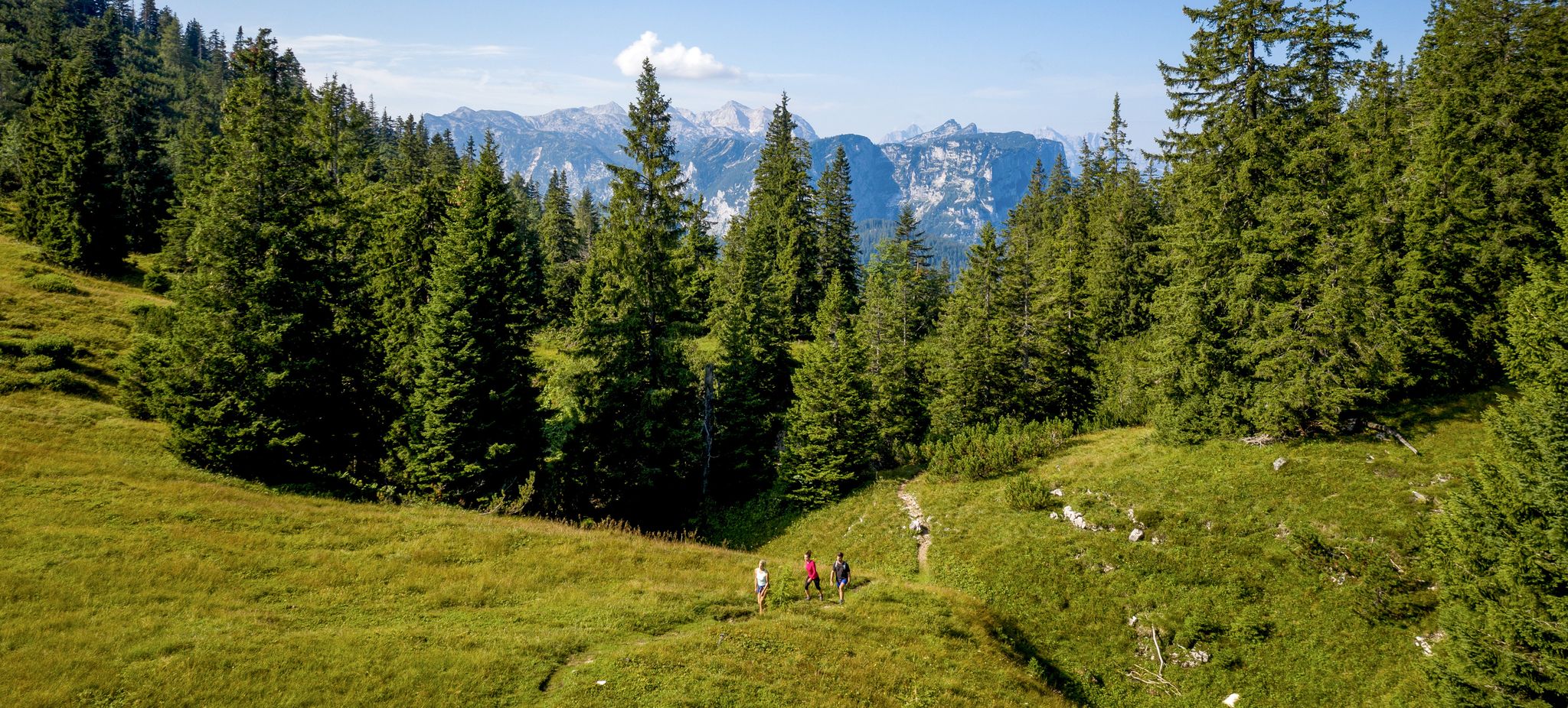



Other adventures around Bayerisch Gmain


Tips from the Community

The narrow old footbridge was demolished and will be replaced by a new, wider bridge in October 2025. You no longer have to push, but can ride your bike over the bridge.
0
0

Always a great view
0
0

It’s an easy (flat) trip with lots of beautiful nature.
0
0

Super nice circular route from Anger to Aufham
0
0

A dream
1
0
In the best weather a fantastic panorama
2
0
Frequently Asked Questions
How many traffic-free road cycling routes are available around Bayerisch Gmain?
There are over 30 dedicated traffic-free road cycling routes around Bayerisch Gmain, offering a variety of experiences. These routes are designed to provide a peaceful and scenic ride away from car traffic.
What is the best time of year for traffic-free road cycling in Bayerisch Gmain?
The region is particularly popular for cycling in August and September due to pleasant weather. However, the alpine foothills and river valleys offer enjoyable conditions from late spring through early autumn, allowing cyclists to experience the stunning Bavarian Alps and lush landscapes.
What kind of terrain can I expect on these no-traffic road cycling routes?
You can expect a diverse mix of terrain, from gentle rides along scenic river valleys like the Saalach to routes through alpine foothills. While focused on no-traffic, some routes may still feature rolling hills or gradual climbs, offering varied experiences for all skill levels.
Are there easy traffic-free road cycling routes suitable for beginners or families?
Yes, there are 11 easy traffic-free road cycling routes around Bayerisch Gmain. These routes are generally flatter and shorter, making them ideal for beginners, families, or those looking for a more relaxed ride. They often follow river paths or quieter country roads.
What natural landmarks or viewpoints can I see along these traffic-free routes?
Many routes offer breathtaking views of the Bavarian Alps, including the distinctive 'Schlafende Hexe' (Sleeping Witch) rock formation in the Lattengebirge Massif. You might also encounter scenic river sections along the Saalach or views towards the Untersberg. For specific viewpoints, consider routes like the Road from Weißbach to Marzoll – View of the Untersberg loop from Bad Reichenhall.
Are there any cultural sights or towns worth visiting near the routes?
Absolutely. The region is rich in culture. The nearby town of Bad Reichenhall, often mentioned alongside Bayerisch Gmain as a cycling paradise, features a royal spa garden. Berchtesgaden, a short distance away, offers attractions like the Berchtesgaden salt mine and Berchtesgaden Castle. Some routes, like the Staufen Bridge – Höglwörth Monastery loop from Bad Reichenhall, can lead you past historic sites.
What is the typical length and elevation gain for these traffic-free routes?
The routes vary significantly. For example, a moderate route like the Staufen Bridge – View of the Mountains loop from Bad Reichenhall covers about 38.5 km with around 358 meters of elevation gain. Longer routes, such as the Road Along the Saalach River – Würzenberg Climb loop from Piding, can extend to over 88 km with more than 600 meters of climbing, providing options for various fitness levels.
What do other road cyclists enjoy most about traffic-free cycling in Bayerisch Gmain?
The komoot community highly rates the cycling experience in this region, with an average score of 4.8 stars. Cyclists frequently praise the stunning alpine scenery, the tranquility of the traffic-free paths, and the well-maintained surfaces that make for an enjoyable ride. The mix of challenging and scenic routes also receives positive feedback.
Are there options for parking near the starting points of these traffic-free routes?
Yes, many of the traffic-free routes around Bayerisch Gmain are accessible from towns like Bad Reichenhall and Piding, which typically offer designated parking areas. It's advisable to check local parking information for specific starting points, especially during peak season.
Can I access these traffic-free cycling routes using public transport?
Bayerisch Gmain and surrounding towns are generally well-connected by public transport, including regional buses and trains. This allows for convenient access to various starting points for the cycling routes. Check local transport schedules for the best connections to your chosen route's beginning.
Are there any specific highlights or natural wonders to look out for?
Beyond the general alpine views, the region boasts several natural highlights. The Almbachklamm gorge, with its footbridges and waterfalls, offers an adventurous natural experience. The enchanting forest along the Ramsauer Ache, between Hintersee and Ramsau, is another beautiful natural feature that might be accessible or visible from some routes. You can also find information on specific mountain peaks like Toter Mann summit or Summit Hochstaufen.
Are there any cafes or places to stop for refreshments along the traffic-free routes?
Many routes pass through or near charming Bavarian villages and towns where you can find cafes, bakeries, and traditional Gasthäuser (inns) to refuel. While specific stops depend on the route, the region is well-equipped to cater to cyclists looking for a break and local refreshments.
Most popular routes around Bayerisch Gmain
Most popular attractions around Bayerisch Gmain

Get inspired with the komoot mobile app


Explore more
Browse the best Road cycling routes in other regions.
