The best traffic-free bike rides around Bad Orb
4.6
(26)
246
riders
46
rides
Gravel biking around Bad Orb is characterized by its location within the Spessart region, a low mountain range known for its vast, dense forests and varied terrain. The area provides numerous cycling routes that often include unpaved sections and forest roads, ideal for no traffic gravel bike trails. These routes offer a mix of surfaces and elevation changes, ranging from flowing forest paths to more challenging ascents within the Spessart.
Best no traffic gravel bike trails around Bad Orb
- The…
Last updated: August 6, 2026
5.0
(1)
12
riders
36.6km
02:30
590m
590m
Hard gravel ride. Very good fitness required. You may need to push your bike for some segments of this route.
4.0
(1)
11
riders
Hard gravel ride. Good fitness required. You may need to push your bike for some segments of this route.
5.0
(1)
1
riders
53.9km
03:43
1,020m
1,020m
Hard gravel ride. Very good fitness required. Mostly paved surfaces. Suitable for all skill levels.
Get access to more routes and recommendations from other explorers.
Sign up for free
Already have an account?
Our route recommendations are based on thousands of hikes, rides, and runs completed by other people on komoot.
Start today with a free account
Your next adventure awaits.
Login or Signup
Popular around Bad Orb
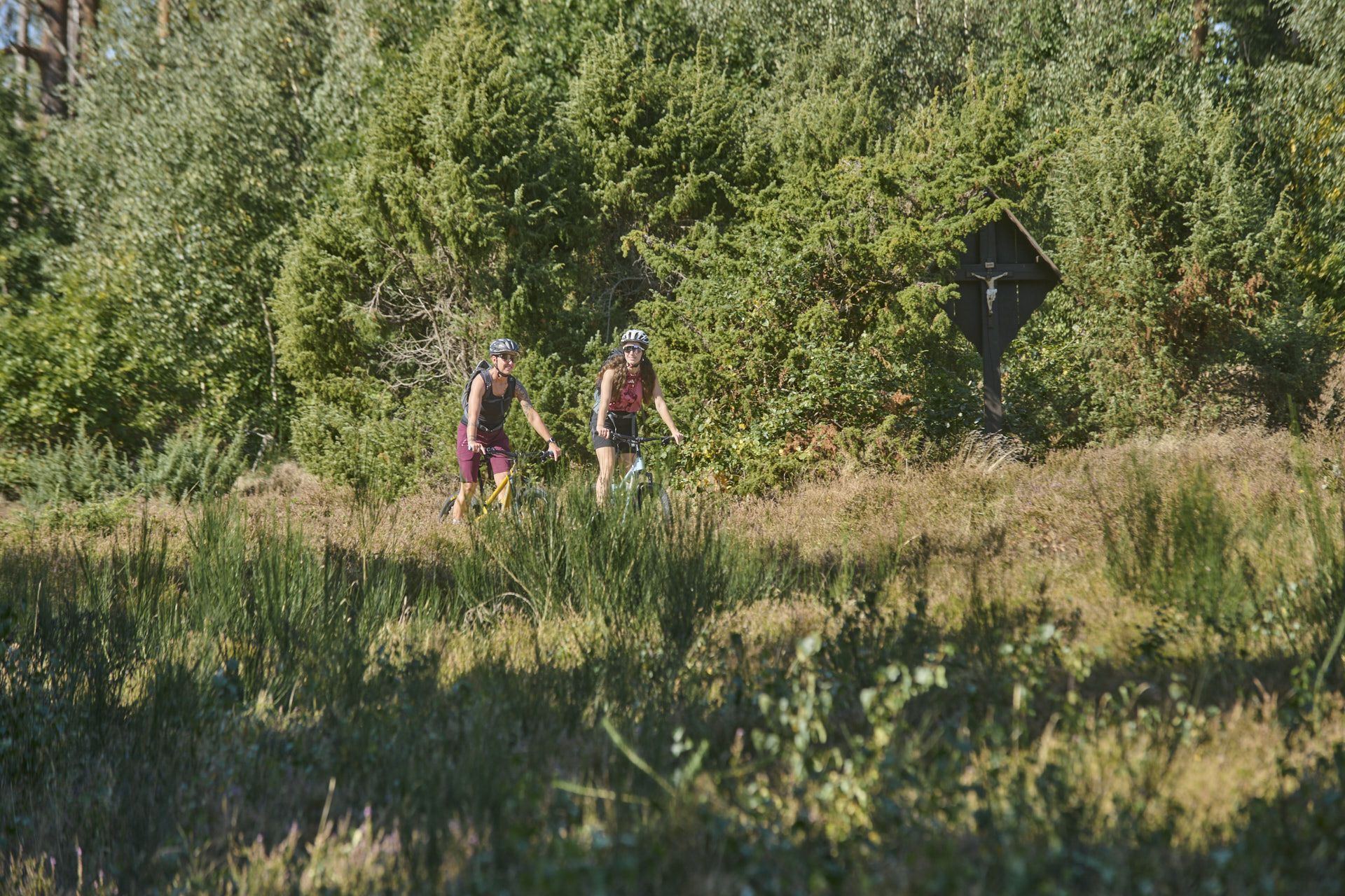
Nature, trails and local cuisine – MTB in the Spessart
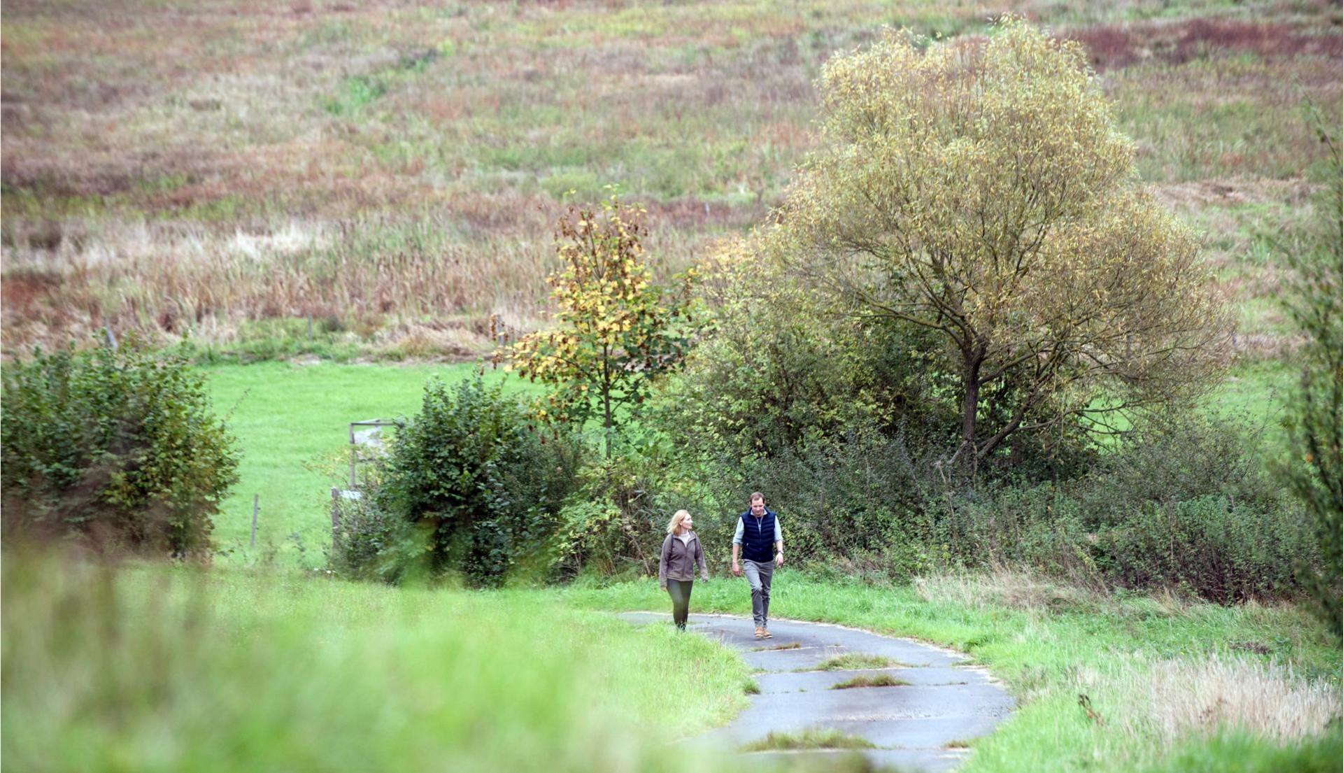
Pleasure hiking in the Spessart: trails that taste as good as they look

#GoFurther – discover the views of Germany!
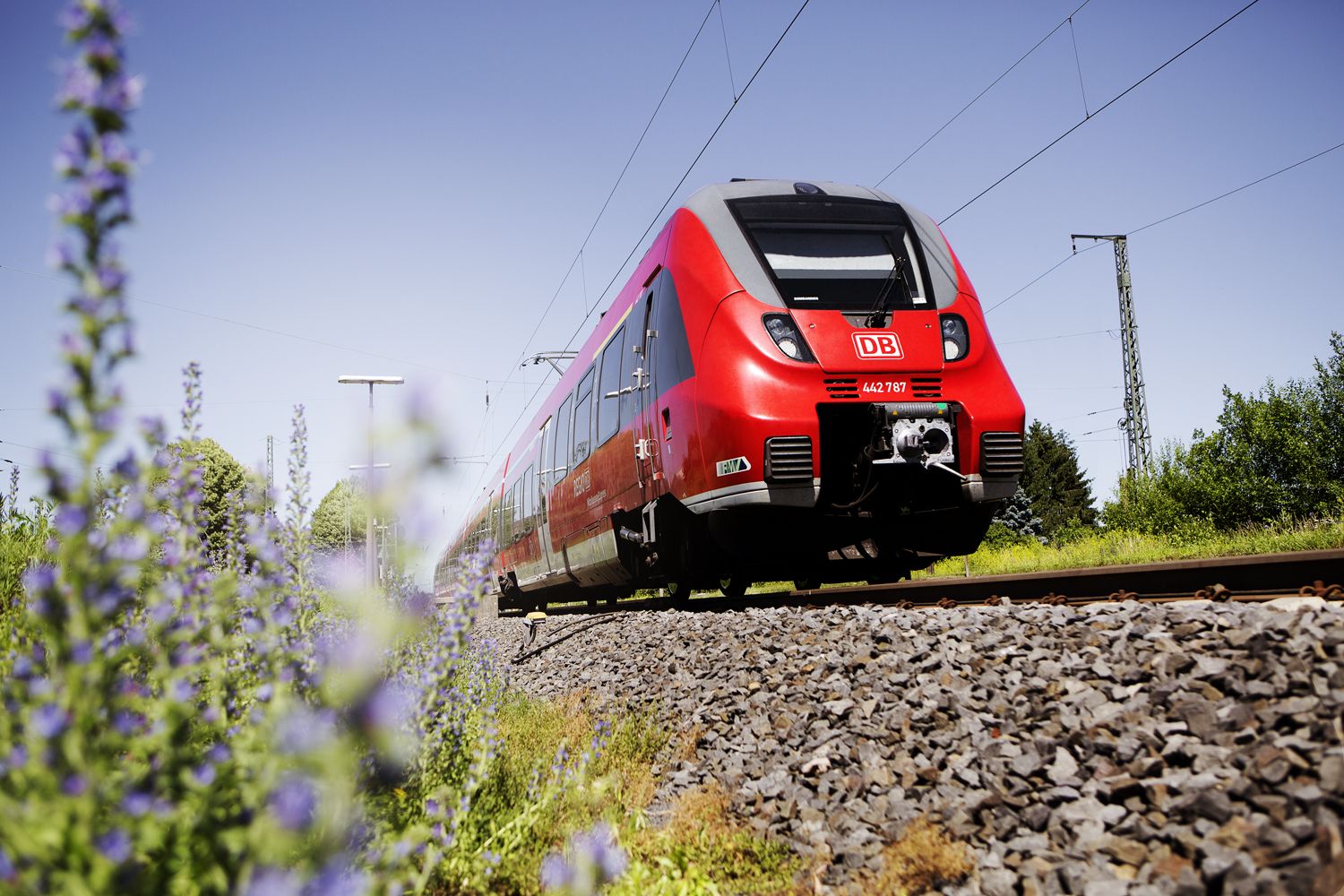
Into the countryside! — hike with Germany’s Rhine-Main Transport Network
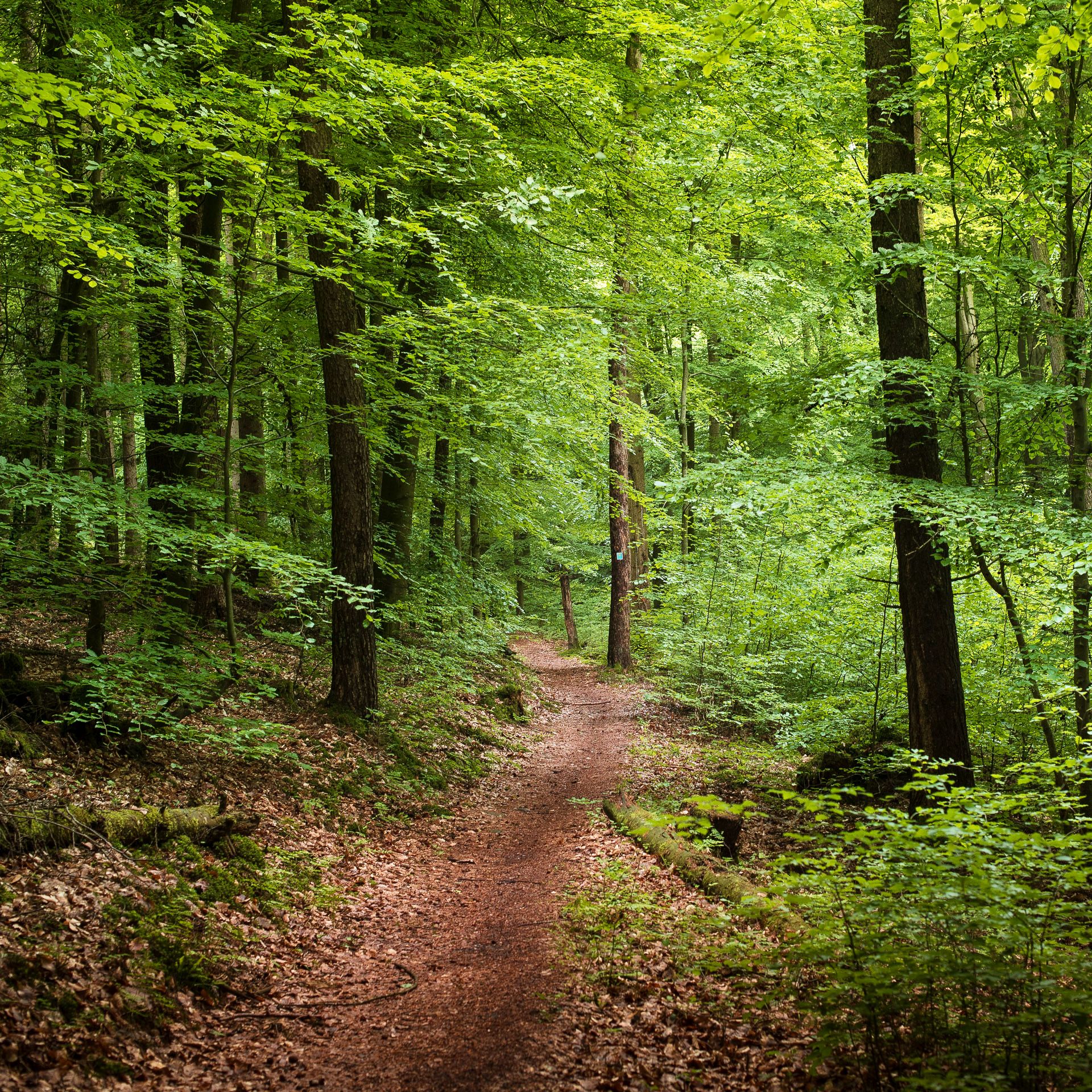
Endless forests, flowing trails – MTB in Germany’s Spessart region
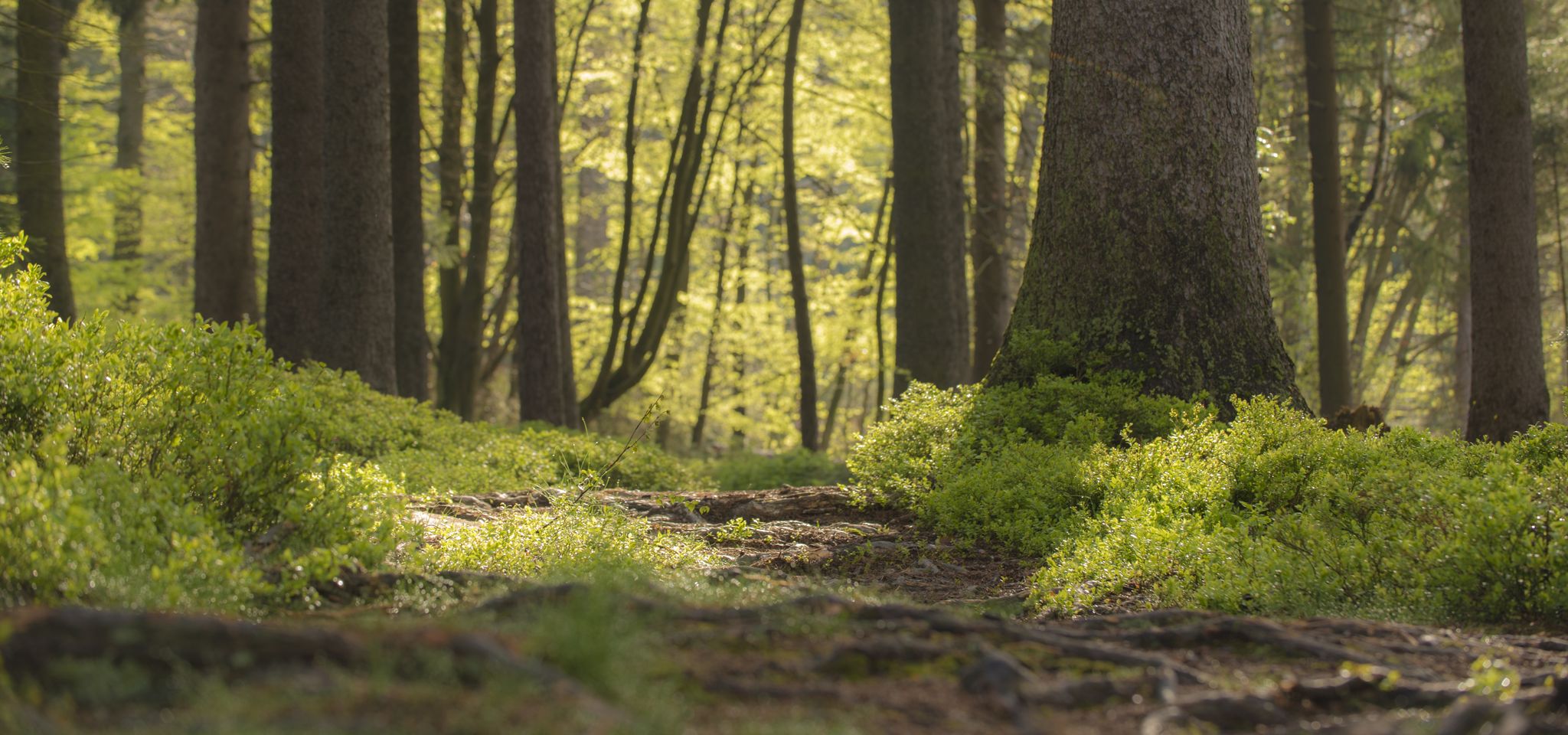
Mountain biking in the Spessart – Awesome trails in Germany
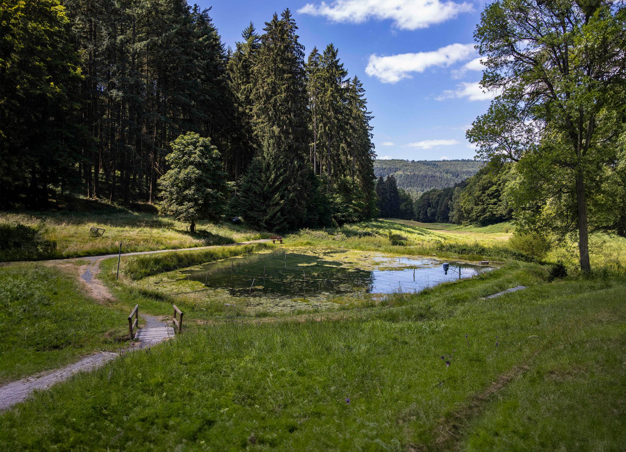
Hike through one of Germany’s greatest forests – Spessart 3
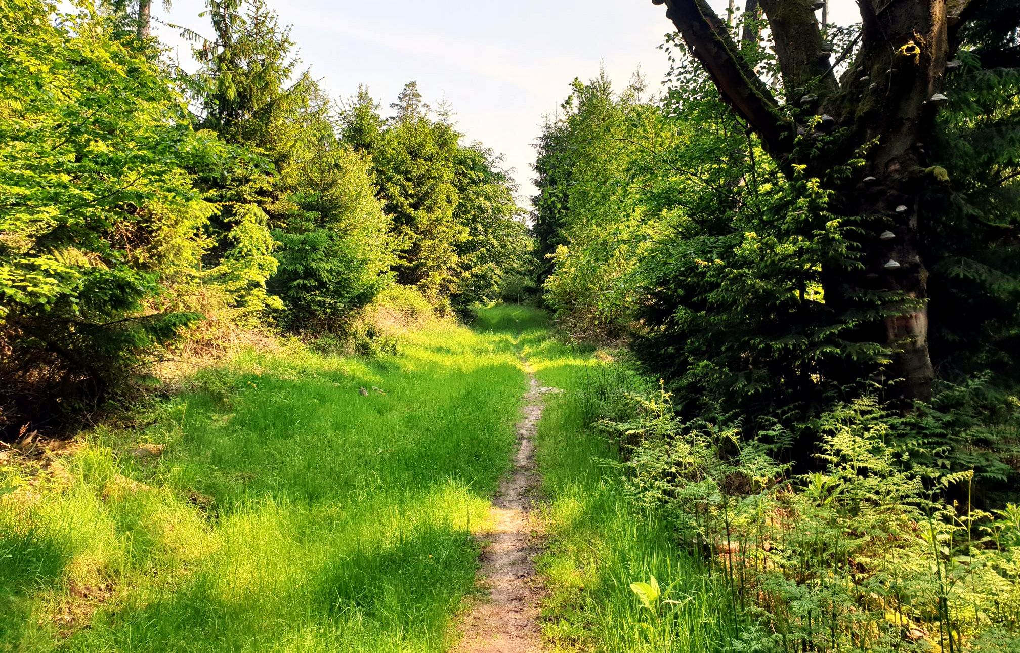
Mountain biking in the Spessart – Awesome trails in Germany
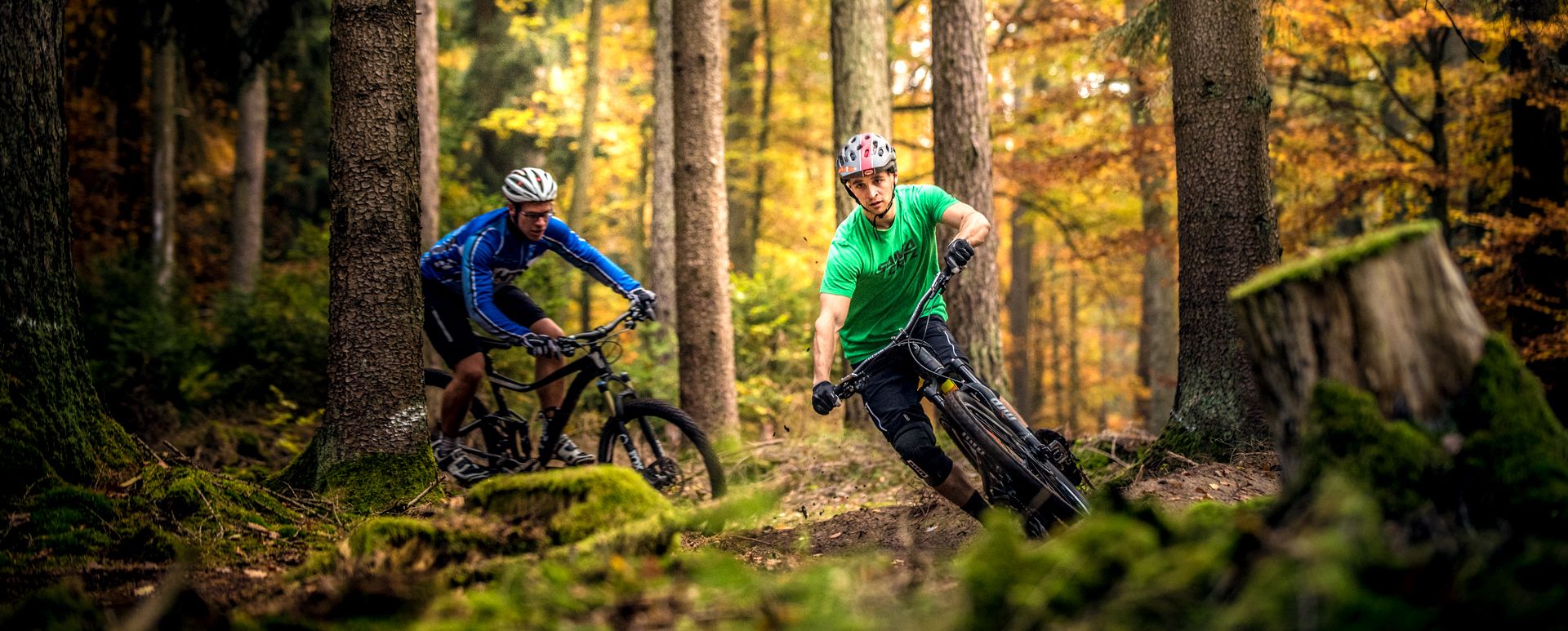
Pure flow and endless trails — biking in the North Spessart

Wandern auf dem Spessartweg 3
Other adventures around Bad Orb


Tips from the Community

Go in and take a deep breath.
0
0
Here you can relax and do something for your health at the same time.
0
0
Bad Orb is indeed a chic little town.
0
0

The historic market square forms the vibrant heart of the old town of Bad Orb and is lined with magnificent half-timbered buildings such as the Salzgrafenhaus. In its center is the market fountain, which once played a central role in the water supply for the citizens as one of several public running fountains. Today, the fountain and the spacious square invite visitors to linger and serve as a backdrop for town festivals, markets, and events.
0
0

Storks can often be observed!
2
0

Here you can still enjoy nature. The narrow-gauge railway only runs infrequently on the route to Bad Orb.
1
0

The Kinzig is a river approximately 86 kilometers long. It rises in Sterbfritz, flows southwest through the Main-Kinzig district of Hesse, and flows into the Main from the right in Hanau. The Kinzig is a second-order river in low mountain ranges. It overcomes an elevation of 301 meters and has a bed gradient of 3.5 per thousand. The Kinzig's catchment area covers 1,058 square kilometers, and the calculated mean discharge (MQ) at the mouth of the Kinzig is 10.97 cubic meters per second. The Kinzig was first documented in 796 as "iuxta fluvium Kincihen." In 815, the name was written as "Chinzicha," around 900 as "Kincicha"/"Kinzicham," in 1364 as "Kinzige," in 1584 as "Kintzig," in 1607 as "Bintz," in 1681 as "Kintz," in 1716 as "Kins," in 1769 as "Kinzing," and in 1802 as "Kinzig." In the river's headwaters, there was the now-defunct village of Kinzig, mentioned in 815 as "Chirizichheimero." The village and river were often confused by monastery scribes at that time with "Chizzicha" (now Bad Kissingen), both of which were described as being located in the Saalegau. The name presumably derives from the ancient Celtic *ku̯anti̯o- meaning "flat hill, valley." The name was therefore derived from the mountainous region from which the Kinzig flows. Source: Wikipedia
2
0
Frequently Asked Questions
How many no-traffic gravel bike trails are available around Bad Orb?
There are over 45 dedicated no-traffic gravel bike trails around Bad Orb, offering a wide range of experiences for different skill levels. These routes are specifically curated to keep you away from busy roads and immerse you in the natural beauty of the Spessart region.
What kind of terrain can I expect on gravel bike trails in Bad Orb?
The terrain around Bad Orb, nestled in the Spessart region, is characterized by extensive forests and varied landscapes. You can expect a mix of well-maintained forest roads, unpaved paths, and some sections that might be more challenging with roots or loose gravel. Routes like the Hasel Pond – Beilstein Trail loop offer a good example of the diverse forest paths you'll encounter.
Are there any family-friendly no-traffic gravel bike routes in Bad Orb?
While many routes in the Spessart can be challenging, some sections of the Kinzigtal Cycle Path, accessible from Bad Orb, offer flatter, mostly paved, or well-compacted unpaved sections suitable for families. It's best to check individual route descriptions for difficulty and elevation to ensure they match your family's capabilities.
Can I bring my dog on the gravel bike trails around Bad Orb?
Generally, dogs are welcome on most forest roads and trails in the Spessart region, provided they are kept on a leash, especially in nature reserve areas or during wildlife breeding seasons. Always be mindful of local regulations and other trail users. Ensure your dog is fit enough for the distance and terrain, and carry enough water for both of you.
What are the best seasons for gravel biking in Bad Orb?
Spring and autumn are ideal for gravel biking in Bad Orb, offering pleasant temperatures and beautiful scenery as the forests change colors. Summer can also be great, especially for shaded forest routes. Winter riding is possible, but be prepared for potentially muddy or icy conditions on unpaved paths, and shorter daylight hours.
Are there circular gravel bike routes available that avoid traffic?
Yes, many of the no-traffic gravel bike trails around Bad Orb are designed as circular routes, allowing you to start and end in the same location without retracing your steps. An example is the Kinzigtal Cycle Path – Auen Valley loop, which offers a scenic circular journey.
What natural landmarks or viewpoints can I discover along these trails?
The Spessart region is rich in natural beauty. Along the trails, you might encounter highlights like the Beilstein Trail and its impressive Beilstein Basalt Formation. The View of Mernes – Walferschanzengrund Trail loop also suggests scenic vistas. Keep an eye out for the vast forests and tranquil river floodplains like the Kinzig Floodplains.
Where can I find parking for gravel biking near Bad Orb?
Bad Orb offers various parking options, including designated parking areas within the town and at trailheads. Many routes start directly from Bad Orb, making it convenient to park your car and begin your ride. Look for public parking facilities or specific cycling parking spots near the town center or on the outskirts where trails begin.
Is it possible to access these trails using public transport with a bike?
Public transport options in the region may allow bikes, but it's crucial to check the specific policies of local bus or train services regarding bike transport, especially during peak hours or for larger groups. Some regional trains might have dedicated bike compartments. Planning ahead is recommended.
Are there options for longer, more challenging no-traffic gravel rides?
Absolutely. The Spessart region is known for its extensive network of forest roads, providing ample opportunities for long-distance and challenging gravel rides. Many routes feature significant elevation gains, such as the View of Mernes – Walferschanzengrund Trail loop, which covers over 50 km and more than 1000 meters of elevation, perfect for experienced gravel bikers seeking a demanding adventure.
What do other komoot users say about gravel biking in Bad Orb?
The komoot community highly rates the gravel biking experience in Bad Orb, with an average score of 4.65 out of 5 stars from 24 ratings. Users often praise the quiet, traffic-free nature of the forest trails, the beautiful natural scenery of the Spessart, and the diverse terrain suitable for gravel bikes.
Are there any cafes or places to stop for refreshments along the routes?
While many routes venture deep into the forests, Bad Orb itself offers numerous cafes and restaurants for pre- or post-ride refreshments. On longer routes, you might pass through smaller villages where local inns or bakeries can provide a welcome break. It's always a good idea to carry sufficient snacks and water, especially on remote sections.
What makes the Spessart region ideal for no-traffic gravel biking?
The Spessart region, where Bad Orb is located, is characterized by its vast, dense forests and a network of forest roads that are largely free of motorized traffic. This creates an ideal environment for gravel biking, allowing riders to enjoy long stretches of unpaved paths, varied terrain, and peaceful natural surroundings without the constant presence of cars.
Most popular routes around Bad Orb
Most popular attractions around Bad Orb

Get inspired with the komoot mobile app


Explore more
Browse the best Gravel rides in other regions.
