The best traffic-free bike rides around Baiersbronn
4.3
(155)
1,565
riders
5
rides
No traffic road cycling routes around Baiersbronn are situated within the Black Forest National Park region, characterized by its varied and hilly topography. The area features dense forests, deep valleys like the Murg Valley and Tonbach Valley, and numerous quiet, well-maintained roads. This landscape provides a diverse environment for road cyclists, ranging from gentle valley paths to more challenging ascents.
Best no traffic road cycling routes around Baiersbronn
- The most popular no traffic road cycling route is Tonbach Valley –…
Last updated: October 13, 2026
4.5
(4)
43
riders
34.0km
01:51
560m
560m
Moderate road ride. Good fitness required. Some segments of this route may be unpaved and difficult to ride.
4.7
(18)
63
riders
30.9km
01:25
290m
290m
Easy road ride. Great for any fitness level. Mostly well-paved surfaces and easy to ride.

11
riders
28.2km
01:36
480m
480m
Moderate road ride. Good fitness required. Some segments of this route may be unpaved and difficult to ride.
3.0
(1)
12
riders
17.3km
00:54
310m
310m
Moderate road ride. Good fitness required. Mostly well-paved surfaces and easy to ride.
12
riders
18.1km
01:01
390m
390m
Moderate road ride. Good fitness required. Mostly well-paved surfaces and easy to ride.
Our route recommendations are based on thousands of hikes, rides, and runs completed by other people on komoot.
Start today with a free account
Your next adventure awaits.
Popular around Baiersbronn
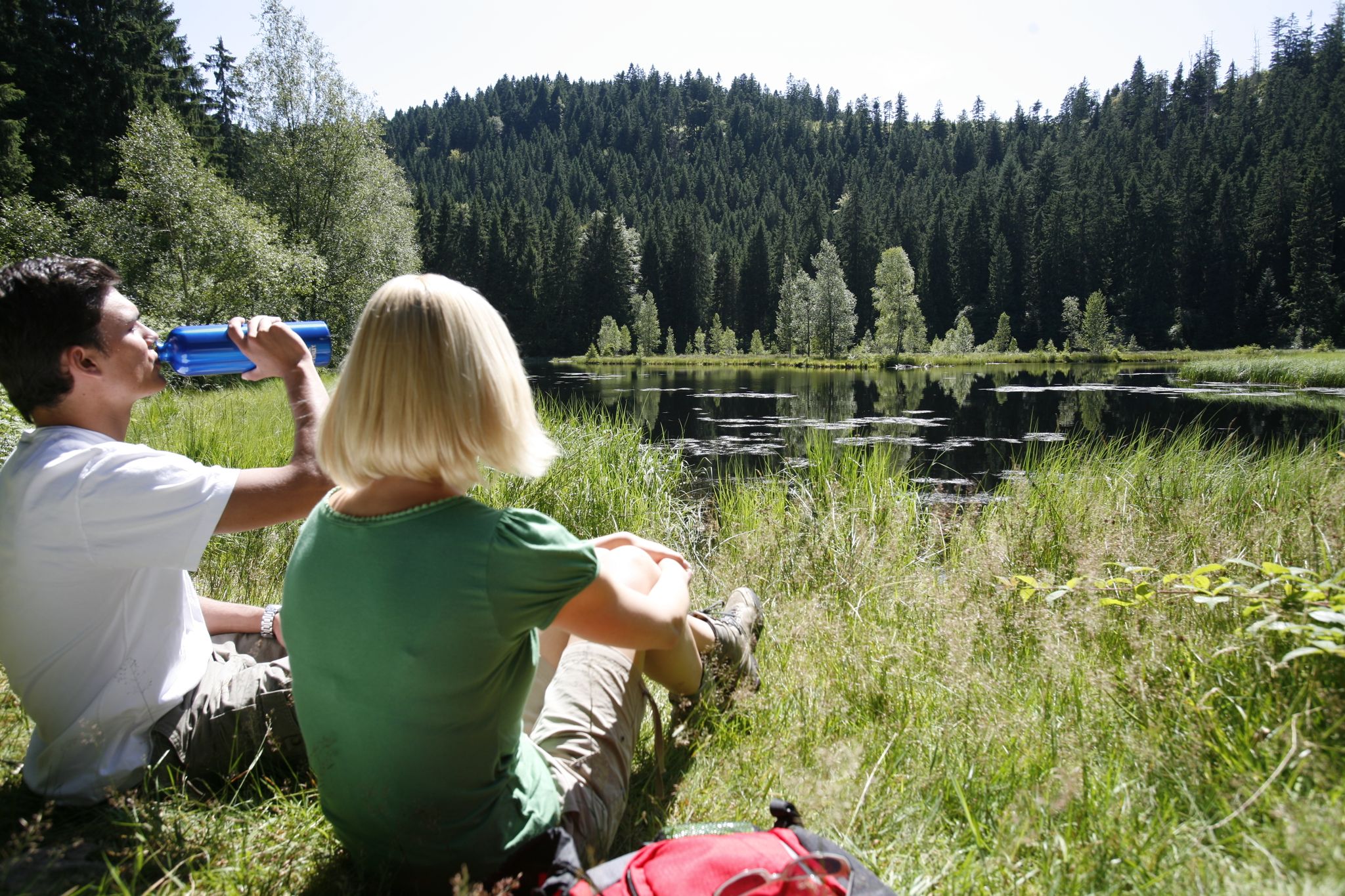
Baiersbronn Seensteig Lake Trail – Hiking heaven through the Black Forest in Germany
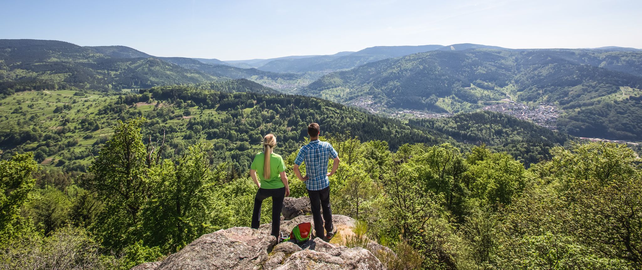
Murgleiter Trail – Experience the diverse Murg Valley in 5 stages
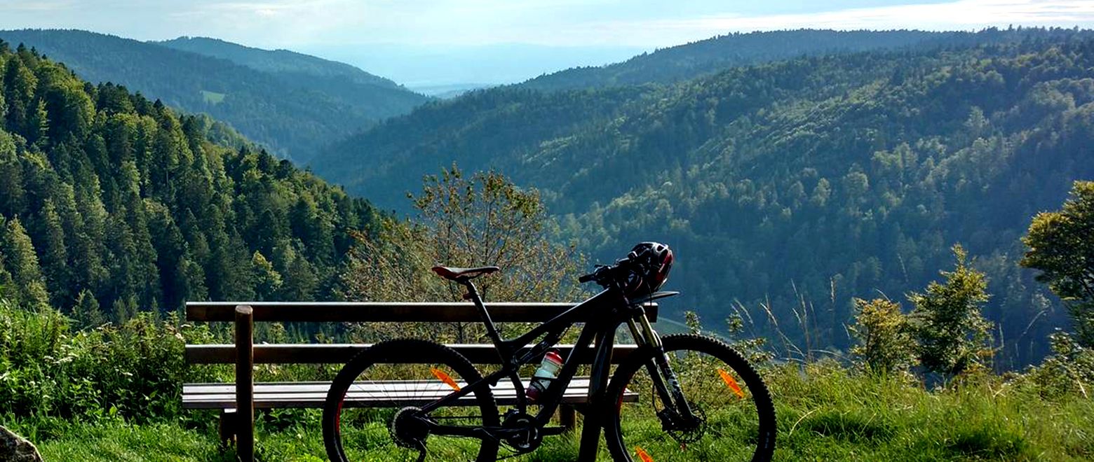
The Black Forest Crossing – From north to south in eight days
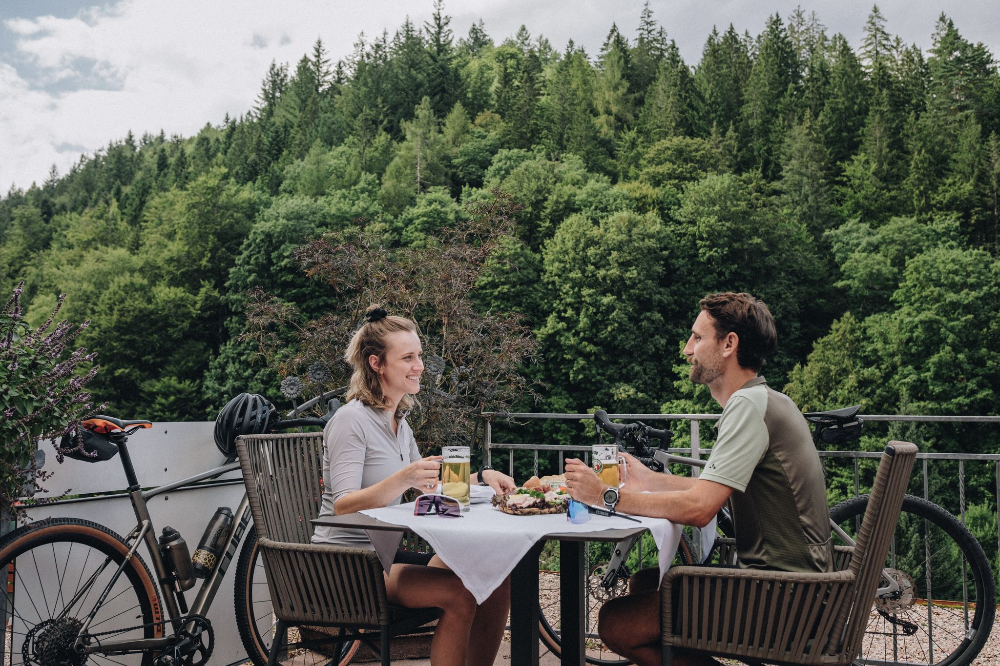
Feast, ride and discover – cycling and pleasure in the Black Forest
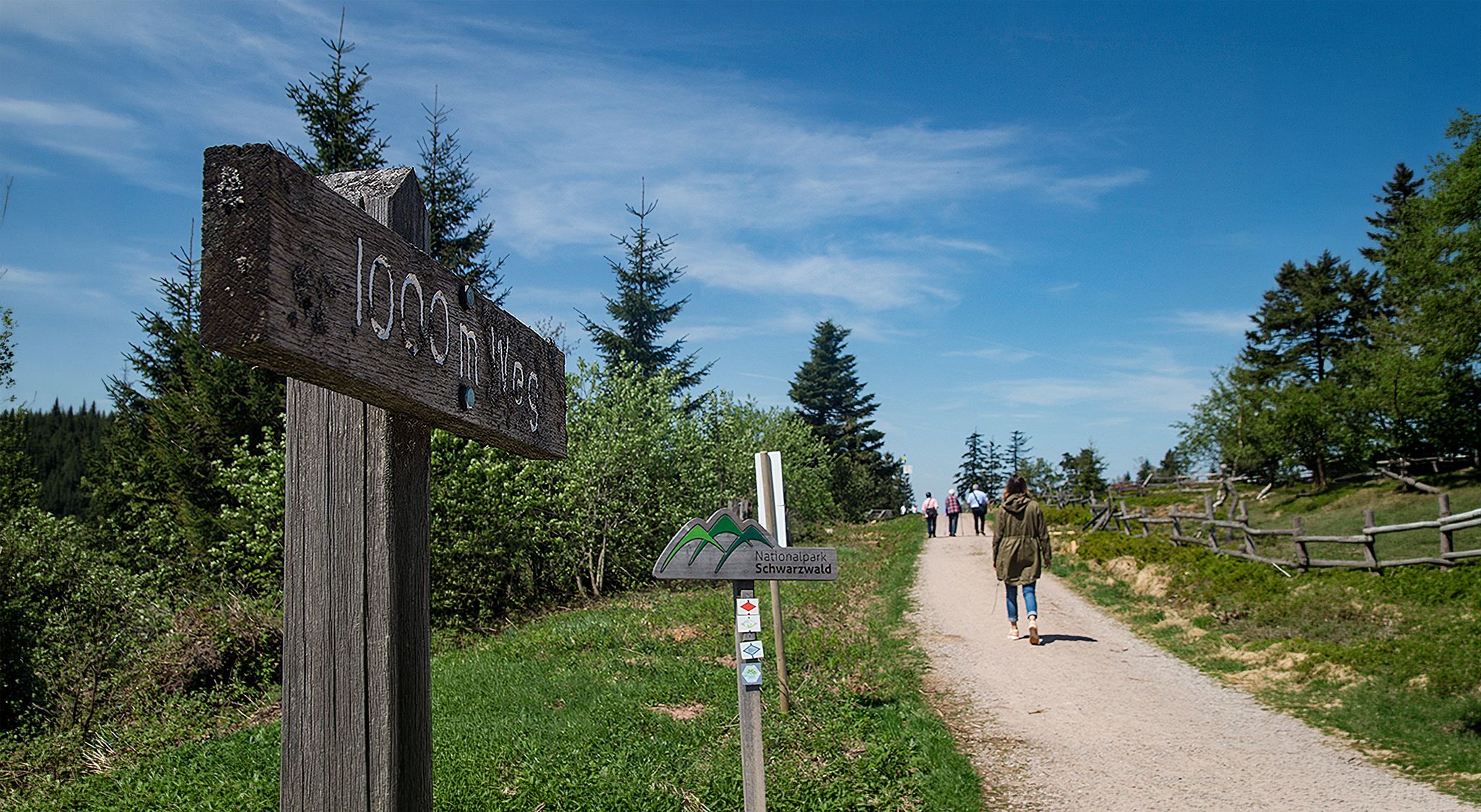
Barrier-free hikes in the Black Forest National Park
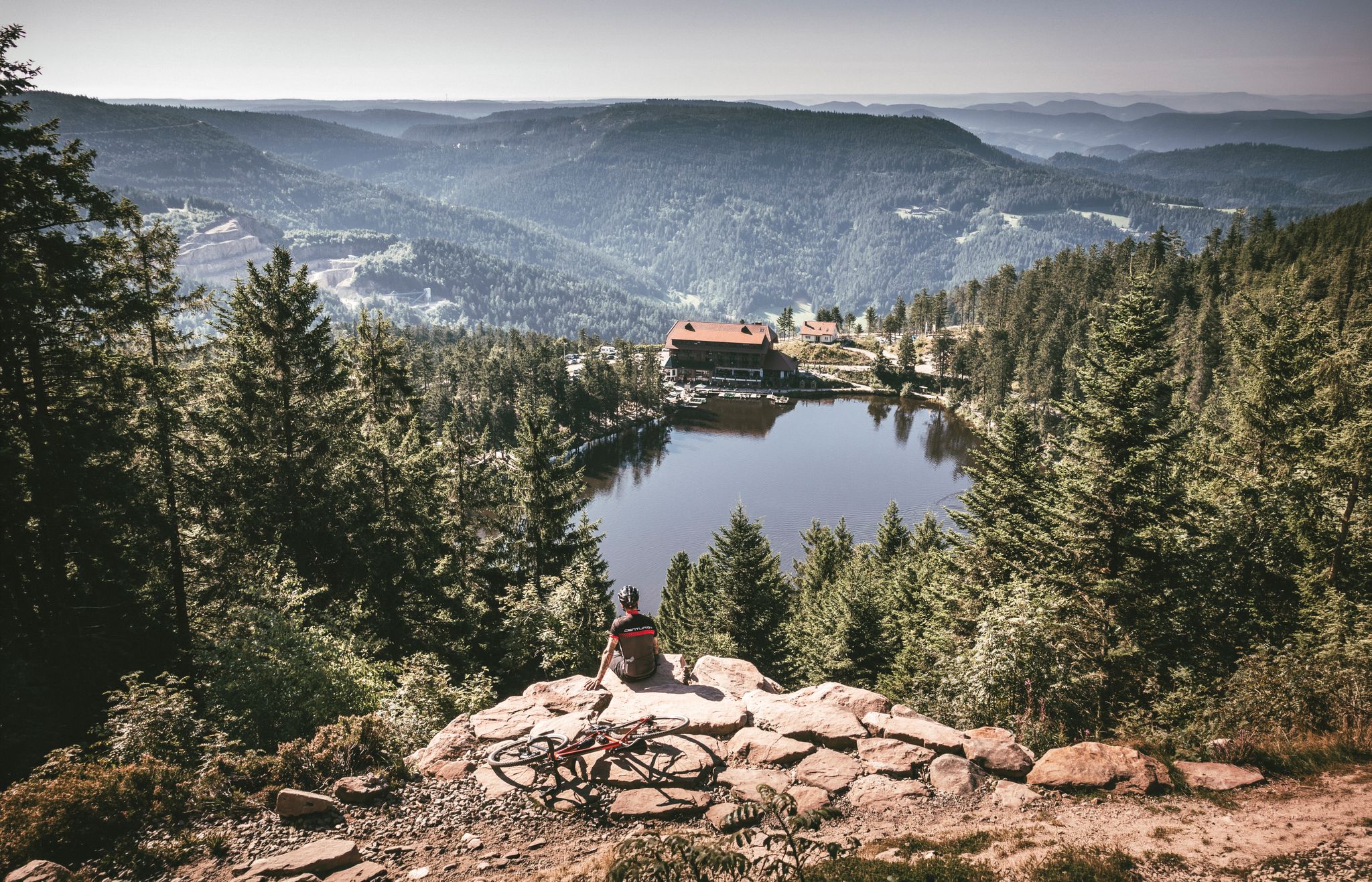
Your Gravel Summer – refreshing rides in the Black Forest
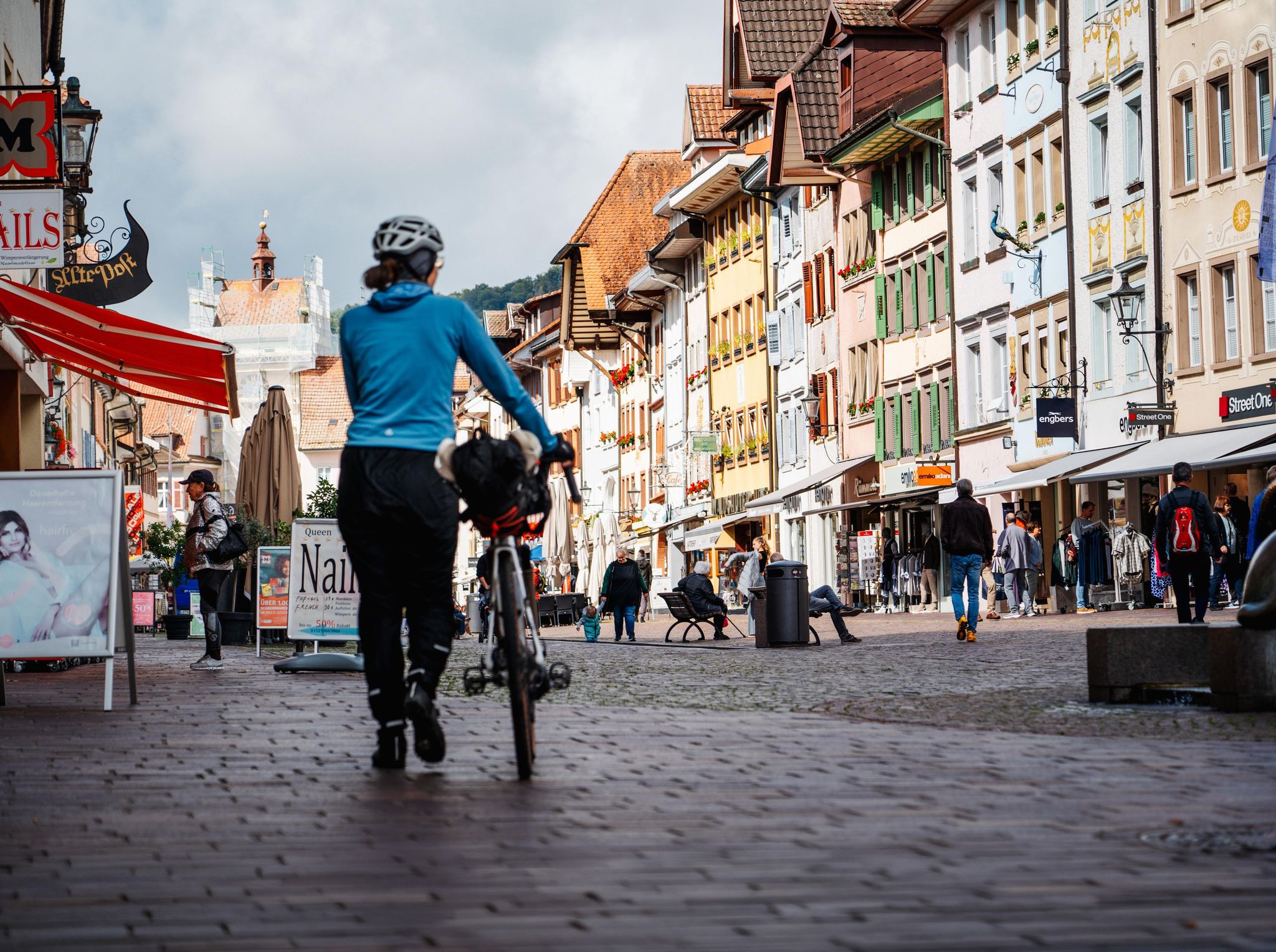
Adventure on two wheels – overnight cycling trips in Baden-Württemberg
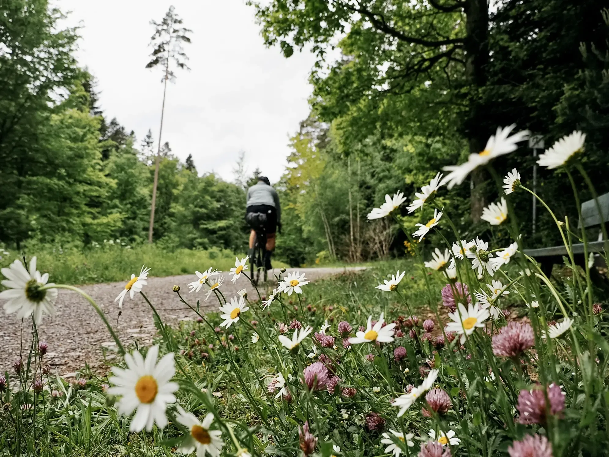
Naturparke-Gravel-Crossing: bikepacking in Baden-Württemberg
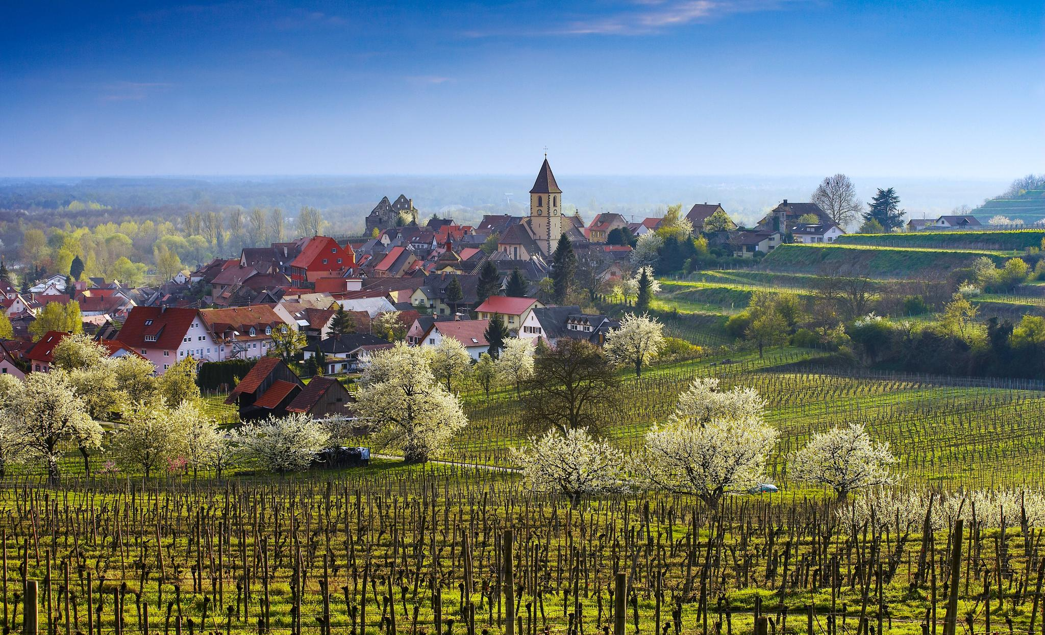
Dreaming in the valley – low-lying spring trails in the Black Forest

Coolcation in the Black Forest – hiking and cooling off in summer
Other adventures around Baiersbronn


Tips from the Community

A great ascent on a smooth, evenly steep, and car-free road. It's busy again at the viewing platform at the top, but you're all alone on the climb.
0
0
Great stretch through open, quite flat terrain.
0
0

beautiful covered bridge
3
0
idyllic small body of water near Baiersbronn
3
0
Dreamlike
3
0
called „Tour de Murg“) is an approx. 60 to 65 km long cycle path from the Northern Black Forest to the Rhine Valley
3
0
Beautiful, refreshing option
3
0
Frequently Asked Questions
How many no-traffic road cycling routes are available around Baiersbronn?
This guide features 6 carefully selected no-traffic road cycling routes around Baiersbronn, ranging from easy to moderate difficulty. The region itself boasts an extensive network of over 1,000 kilometers of trails suitable for various cycling types, ensuring plenty of options for quiet rides.
What is the best time of year for no-traffic road cycling in Baiersbronn?
Spring and autumn are considered the optimal seasons for road cycling in Baiersbronn. During these times, you'll experience mild temperatures and vibrant natural scenery, making for a more enjoyable ride through the Black Forest.
Are there any easy no-traffic road cycling routes suitable for beginners?
Yes, there are easy options available. For instance, the Murgtal Cycle Path – Murgtal Cycle Path loop from Schönmünzach is an easy route that allows you to enjoy the scenic Murg Valley without significant climbs.
What kind of landscapes can I expect on these no-traffic routes?
You'll encounter diverse and picturesque landscapes, from the dense forests and rolling hills of the Black Forest National Park to the serene river valleys like the Murgtal and Tonbach Valley. Routes often feature well-maintained roads winding through lush greenery and charming villages.
Are there any challenging sections or passes on the no-traffic road cycling routes?
While these routes focus on low traffic, the hilly topography of the Black Forest means some routes include rewarding climbs. For example, the Kniebis Pass (942 m) – Ellbachstraße loop from Hotel Bareiss offers a moderate challenge with significant elevation gain, providing breathtaking views over the valleys.
Can I find routes that pass by lakes or waterfalls?
Yes, the region is rich in natural beauty. While specific routes in this guide might not directly pass every feature, you can easily combine your ride with visits to attractions like the tranquil Lake Sankenbach or the impressive Gaishöll Waterfalls, which are popular highlights in the wider Baiersbronn area.
What do other cyclists say about road cycling in Baiersbronn?
The komoot community highly rates the cycling experience in Baiersbronn, with an average score of 4.55 out of 5 stars from 179 ratings. Reviewers often praise the region's stunning natural beauty, the quality of the roads, and the variety of routes available for a peaceful ride.
Are there any circular no-traffic road cycling routes?
Yes, many of the routes in this guide are designed as loops, allowing you to start and end at the same point. For example, the Tonbach Valley – Murgtal Cycle Path loop from Schönmünzach is a great option for a circular tour through varied scenery.
Where can I find scenic viewpoints along these routes?
The Black Forest offers numerous panoramic views. While cycling, you'll often encounter vistas over valleys and forests. A notable highlight nearby is the Ellbachseeblick Viewing Platform, which offers spectacular views over the Black Forest National Park's forests and is accessible from some routes.
Is public transport available to access these cycling routes?
Baiersbronn is well-connected within the Black Forest region. Public transport options, including buses and trains, can help you reach starting points for various routes. It's advisable to check local transport schedules for specific routes and bike carriage policies.
Are there specific parking areas for cyclists near the starting points of these routes?
Many trailheads and villages in the Baiersbronn area offer designated parking facilities. For specific routes, it's recommended to check the route details on komoot, as they often include information about parking at the starting point or nearby. Towns like Schönmünzach and Klosterreichenbach, which serve as starting points for routes in this guide, typically have parking available.
Can I combine road cycling with other outdoor activities in Baiersbronn?
Absolutely! Baiersbronn is known as a 'Wanderhimmel' (Walker's Paradise) with over 550 kilometers of hiking trails. You can easily combine a morning ride with an afternoon hike to explore attractions like the Bismarck Tower at Hornisgrinde for incredible views, or the unique Karlsruhe Ridge for a climbing experience.
Most popular routes around Baiersbronn
Most popular attractions around Baiersbronn

Get inspired with the komoot mobile app


Explore more
Browse the best Road cycling routes in other regions.
