The best hikes from bus stations in the Allgäu Alps
4.6
(243695)
1,075,685
hikers
2,795
hikes
Bus station hiking trails in the Allgäu Alps traverse a diverse landscape characterized by rugged peaks, extensive valleys, and distinctive steep, grassy mountains known as "Grasberge." The region features numerous alpine and mountain lakes, alongside deep gorges and waterfalls, offering varied terrain for outdoor activities. This geological diversity supports a rich alpine flora and fauna, protected within areas like the Allgäu High Alps Nature Reserve. The extensive network of trails caters to various abilities, from gentle walks to demanding alpine…
Last updated: September 29, 2026
4.8
(1779)
7,608
hikers
5.98km
01:51
220m
220m
Easy hike. Great for any fitness level. Easily-accessible paths. Suitable for all skill levels.
4.8
(1623)
6,194
hikers
16.3km
06:27
870m
880m
Hard hike. Very good fitness required. Mostly accessible paths. Sure-footedness required.

4.6
(1239)
4,504
hikers
11.0km
03:00
150m
150m
Moderate hike. Good fitness required. Easily-accessible paths. Suitable for all skill levels.
4.7
(957)
3,157
hikers
6.54km
01:54
150m
150m
Moderate hike. Great for any fitness level. Mostly accessible paths. Sure-footedness required.
4.7
(882)
2,927
hikers
6.50km
01:53
150m
150m
Moderate hike. Great for any fitness level. Mostly accessible paths. Sure-footedness required.
Get access to more routes and recommendations from other explorers.
Already have an account?
Our route recommendations are based on thousands of hikes, rides, and runs completed by other people on komoot.
Start today with a free account
Your next adventure awaits.
Popular around Allgäu Alps

Ibex Tour extended – Crossing the Allgäu Alps

Maximilian Trail in Germany — Lake Constance to Königssee

The Best of Allgäu – Tour around Oberallgäu

Min Weag long-distance hiking trail – From Lake Constance to the Alps
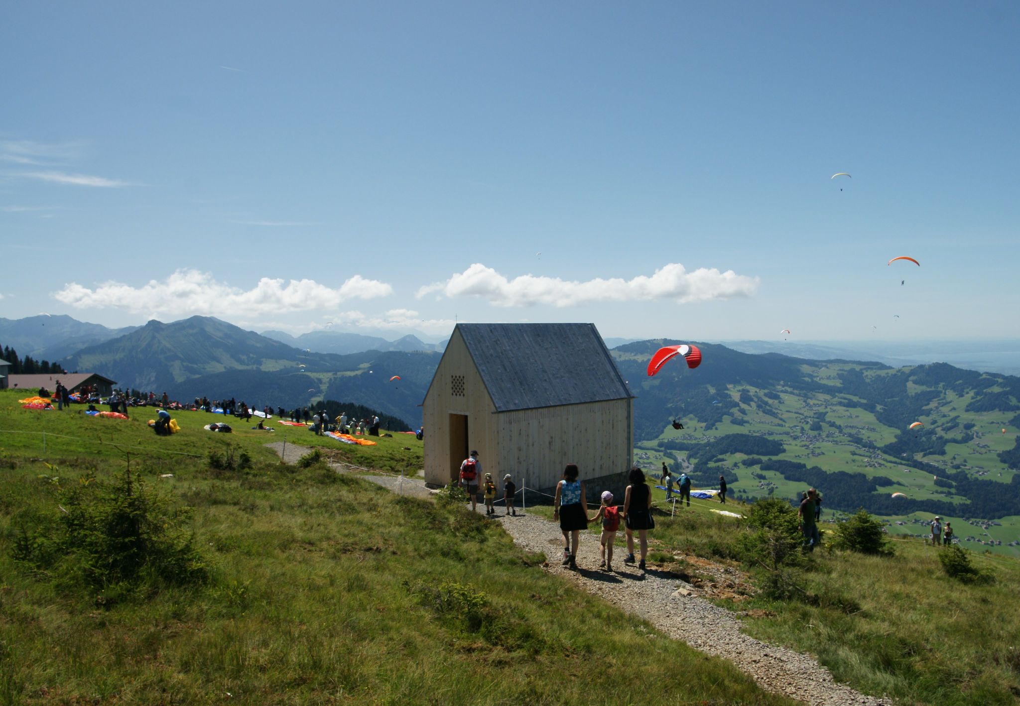
The Architecture Trail – Follow it through Austria's Bregenz Forest region
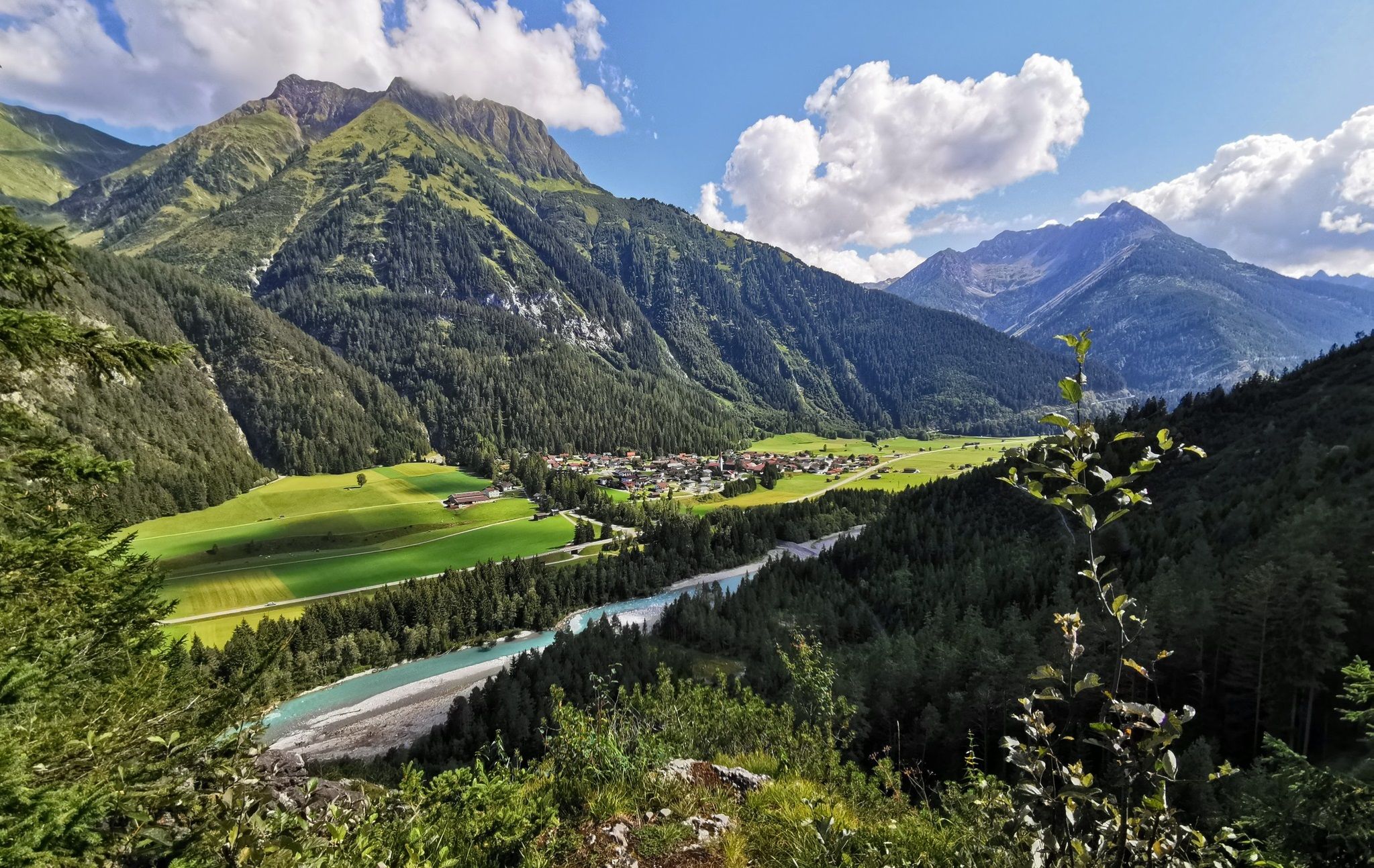
The Lechweg — eight days on Austria's wildest river

E5 – Hiking across the Alps
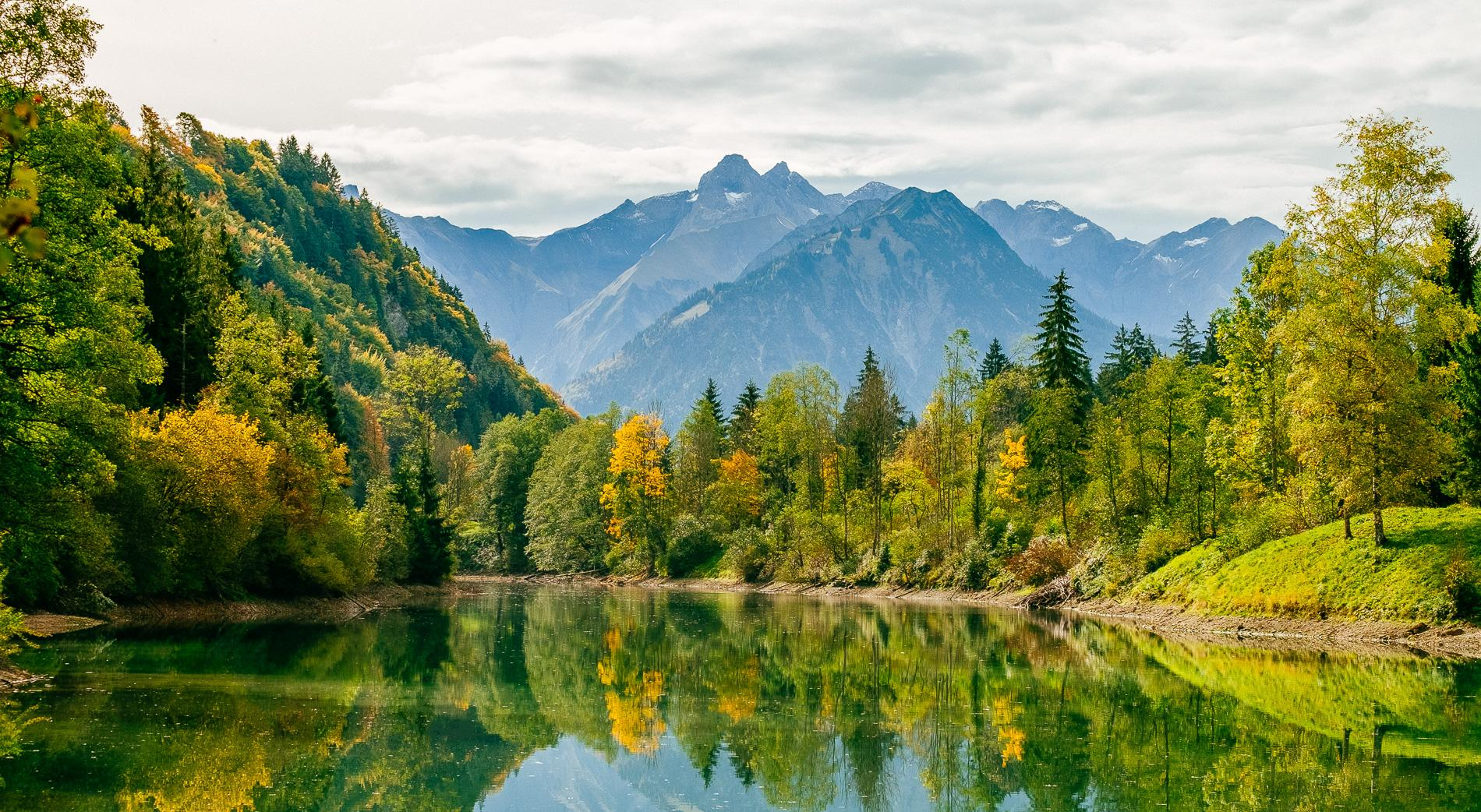
Golden Allgäu – autumn hiking in the Hörner villages
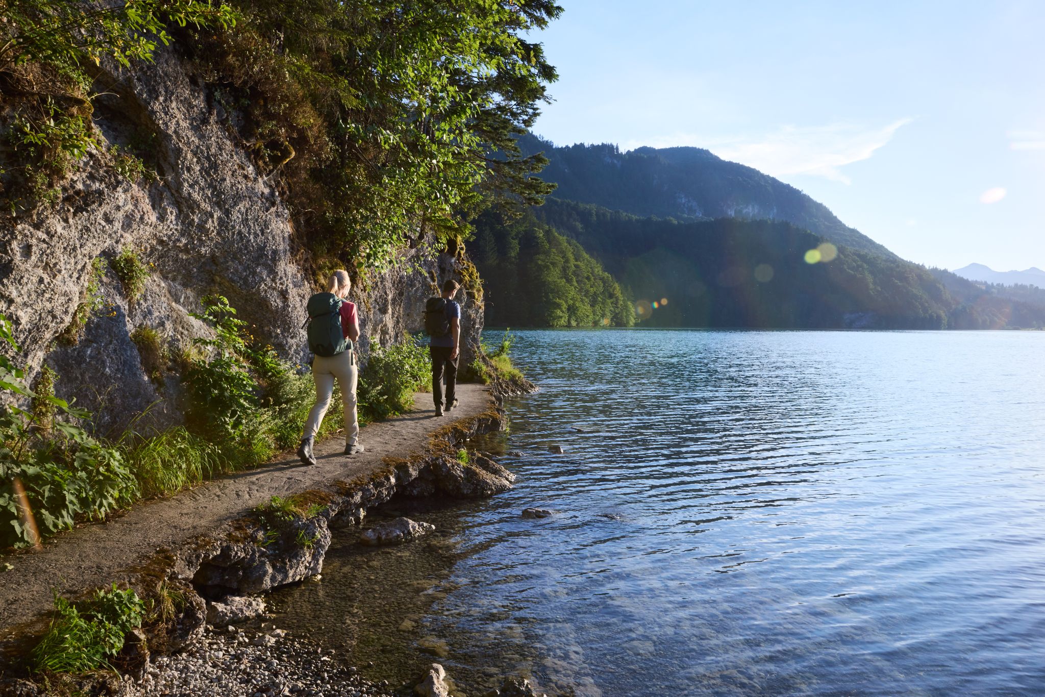
Lechloops – wonderful hiking along the wild Lech
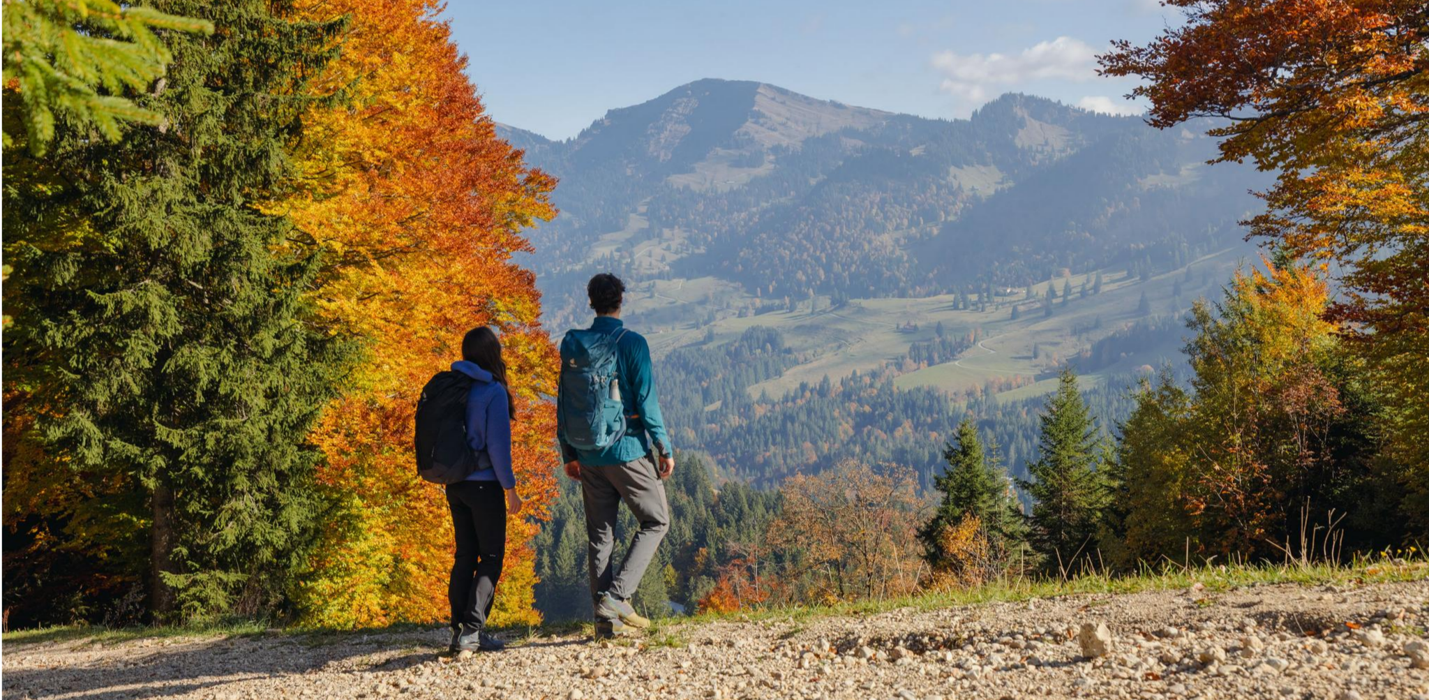
Autumn gold in the Allgäu – hiking around Oberstaufen
Other adventures in the Allgäu Alps


Tips from the Community

Great trail right along the shore
0
0

Great view of the mountains and the valley from here.
0
0

Great view and panorama with Murmlers
1
0

The Breitachklamm near Oberstdorf in the Allgäu region, with a depth of around 150 meters, is the deepest rocky gorge in Central Europe and has been officially named the "Natural Wonder of the Year 2025". The impressive geological site extends across the Tiefenbach district of Oberstdorf into the Austrian Kleinwalsertal valley. A well-secured, approximately 2.5-kilometer-long hiking trail leads directly past the roaring masses of water.
13
0

Alp unfortunately no longer managed since 2025😞🤷♂️ "The alp is currently closed! As of 2025. As soon as information about a reopening or new operators is available, it will be added." https://share.google/DBFrc8vvw9TNBsgme
1
0

Start early in very nice weather.
0
0

From here you have a fantastic view into the Weißachtal valley. The Weißach river rises west of Immenstadt, flows in its upper course through the Ehrenschwanger Tal valley, turns towards Oberstaufen and continues to the Austrian border, where it finally flows into the Bregenzer Ach. On its way, the river has carved the Buchenegger Waterfalls into the Nagelfluh rock.
1
0
Alpe Neugreuth is located above Steibis, in the middle of the Allgäu landscape panorama. If you walk from Steibis to the Buchenegger waterfalls, it is worth stopping at the cozy guesthouse. Drinks, homemade cakes, and hearty snacks are available on the terrace. A special feature is the own herb garden, whose ingredients give the dishes a fine note.
1
1
Frequently Asked Questions
How many bus station hiking trails are available in the Allgäu Alps?
There are over 2,700 hiking routes in the Allgäu Alps that are accessible via bus stations, offering a wide range of experiences for all skill levels.
What kind of terrain can I expect on bus-accessible trails in the Allgäu Alps?
The Allgäu Alps offer diverse terrain, from rugged peaks and extensive valleys to high plateaus and rolling hills. You'll find everything from challenging alpine ascents to leisurely strolls through meadows. Many trails feature the region's characteristic steep, grassy mountains, known as "Grasberge".
Are there family-friendly hiking options accessible by bus in the Allgäu Alps?
Yes, the Allgäu Alps offer several family-friendly hikes. A great option is the short and impressive tour, Roaring water in the Breitachklamm, which takes you through Europe's deepest rocky gorge with wooden walkways and stunning waterfalls. Another good choice is the Steibis – Buchenegg waterfalls route, which also features impressive natural spectacles.
Can I bring my dog on bus-accessible hiking trails in the Allgäu Alps?
Generally, dogs are welcome on most hiking trails in the Allgäu Alps. However, always keep your dog on a leash, especially in nature reserves and near livestock. Check local regulations for specific trails or protected areas before you go. Public transport usually allows dogs, often for a small fee.
What natural attractions can I see along bus-accessible hiking routes?
The Allgäu Alps are rich in natural beauty. You can explore stunning gorges like the Breitach Gorge and Starzlach Gorge, or marvel at waterfalls such as the Buchenegger Waterfalls and Hinanger Waterfall. Many routes also pass by picturesque mountain lakes and offer views of diverse alpine flora and fauna.
Are there any easy bus-accessible hikes for beginners?
Yes, there are many easy routes suitable for beginners. The Roaring water in the Breitachklamm tour is an excellent easy option, offering a relatively short distance and minimal elevation gain. Another accessible route is Around the Großer Alpsee - Allgäu, which is moderate but generally flat around the lake, making it suitable for many.
What is the best time of year for hiking from bus stations in the Allgäu Alps?
The best time for hiking in the Allgäu Alps is generally from June to September when the weather is mild, and the mountain landscapes are vibrant. Spring and autumn also offer pleasant conditions with fewer crowds, though some higher alpine routes might still have snow or be closed in early spring or late autumn.
Are there challenging bus-accessible hikes for experienced hikers?
Absolutely. For experienced hikers seeking a challenge, the Allgäu Alps offer demanding alpine routes. An example is the Around the Widderstein — Kleinwalsertal for nature lovers tour, which is classified as difficult and involves significant elevation gain, providing a rewarding experience with stunning views.
What do other hikers enjoy most about bus station hikes in the Allgäu Alps?
The Allgäu Alps are highly rated by the komoot community, with an average score of 4.6 stars. Reviewers often praise the region's diverse and picturesque landscapes, the accessibility of trails via public transport, and the stunning natural features like gorges, waterfalls, and mountain lakes. The well-maintained trail network and variety of routes for all abilities are also frequently highlighted.
Are there places to eat or drink near bus stops or along the trails?
Yes, many bus-accessible hiking routes in the Allgäu Alps pass through or near villages and mountain huts where you can find cafes, restaurants, and traditional alpine inns. It's always a good idea to check the specific route details on komoot for points of interest like huts or eateries along your chosen path.
Can I find circular hiking routes that start and end at a bus station?
Many bus-accessible routes in the Allgäu Alps are designed as circular trails, allowing you to start and end your hike at the same bus stop without needing to retrace your steps. This is a popular option for those relying solely on public transport. For example, the tour Around the Großer Alpsee - Allgäu is a great circular option.
What kind of wildlife can I expect to see in the Allgäu Alps?
The Allgäu High Alps Nature Reserve, one of Germany's largest, protects a rich alpine flora and fauna. Hikers might spot chamois, ibex, marmots, and various bird species, including eagles. The diverse geological landscape supports a wide variety of habitats for rare and vulnerable species.
Most popular routes in the Allgäu Alps
Most popular attractions in the Allgäu Alps

Get inspired with the komoot mobile app


Explore more
Browse the best Hikes in other regions.
