The best hikes from bus stations in Landkreis Dingolfing-Landau
4.6
(1341)
8,036
hikers
626
hikes
Bus station hiking trails in Landkreis Dingolfing-Landau offer access to a diverse landscape characterized by riverine environments, gentle rolling hills, and expansive woodlands. The region in Lower Bavaria features the Isar and Vils rivers, including the Vilstalsee, a 100-hectare lake at the heart of the Middle Vils Valley Recreation Area. Hikers can explore protected natural areas like the Vilstal bei Marklkofen nature reserve and unique geological formations such as the Wachsender Felsen von Usterling. The terrain provides varied experiences, from…
Last updated: August 6, 2026
4.7
(92)
376
hikers
Easy hike. Great for any fitness level. Easily-accessible paths. Suitable for all skill levels.
4.7
(93)
392
hikers
7.97km
02:03
30m
30m
Moderate hike. Good fitness required. Easily-accessible paths. Suitable for all skill levels.

Sign up for free
4.7
(59)
214
hikers
Moderate hike. Good fitness required. Easily-accessible paths. Suitable for all skill levels.
4.1
(23)
97
hikers
Easy hike. Great for any fitness level. Easily-accessible paths. Suitable for all skill levels.
4.5
(36)
176
hikers
8.54km
02:09
10m
10m
Moderate hike. Good fitness required. Easily-accessible paths. Suitable for all skill levels.
Get access to more routes and recommendations from other explorers.
Sign up for free
Already have an account?
Our route recommendations are based on thousands of hikes, rides, and runs completed by other people on komoot.
Start today with a free account
Your next adventure awaits.
Login or Signup
Popular around Landkreis Dingolfing-Landau
Hikes from bus stations around Dingolfing
Hikes from bus stations in Vilstal Bei Marklkofen
Hikes from bus stations around Vilstalsee

Hikes from bus stations around Simbach
Isar cycle path — From Alpine peaks to the Auenwald (7 stages)
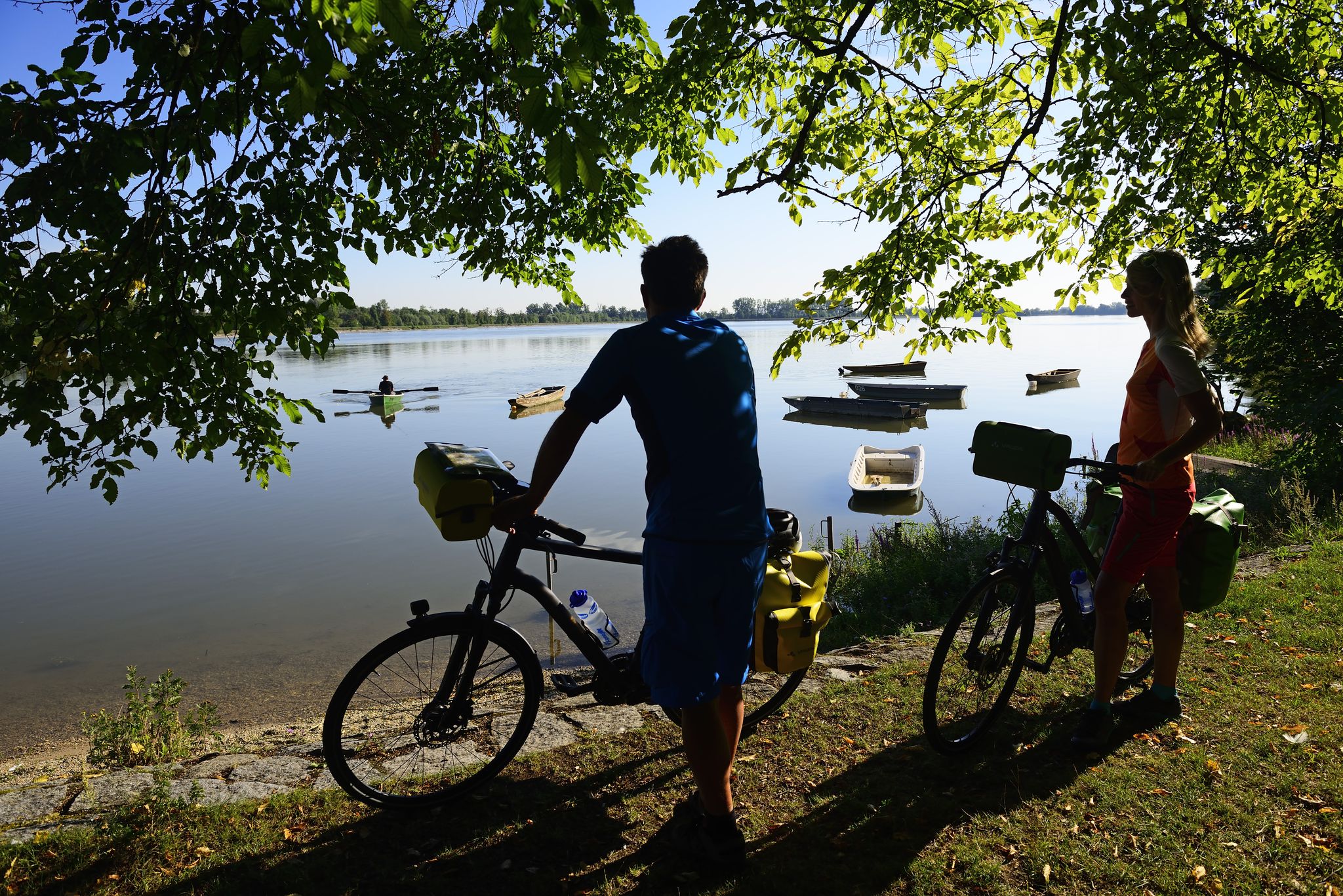
Niederbayerntour in 7 stages — Swim trunks, beer, baroque
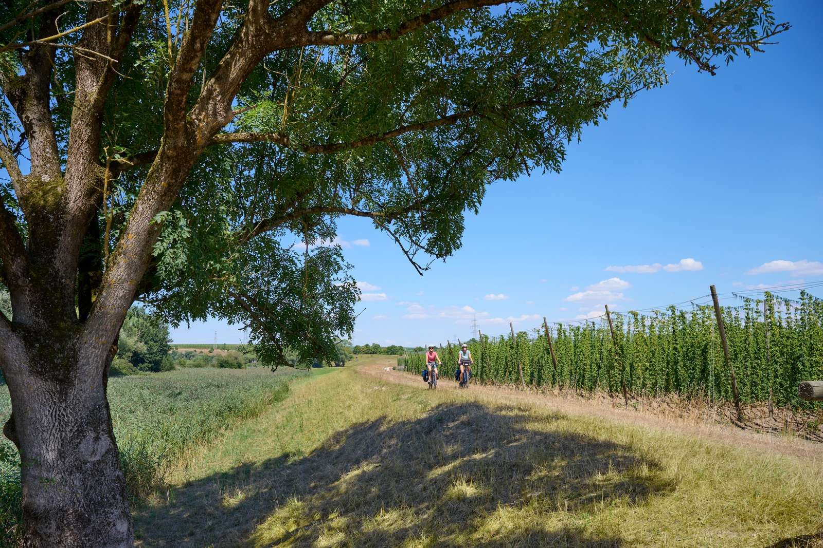
On the Niederbayerntour in 7 stages through the Bayerische Thermenland
Other adventures in Landkreis Dingolfing-Landau


Tips from the Community

An interesting habitat due to the damming of the Isar.
3
0

The youth campsite is idyllically situated between the Isar River and the adjacent forests. The campsite's tepees feature a well-equipped kitchen, restrooms, and a lounge, as well as a cozy wood-burning stove. An all-weather roof provides shelter from the sun or inclement weather. The campsite is suitable for youth groups of up to 70 people. Source: https://www.jugendzeltplatz-mamming.de/
1
0
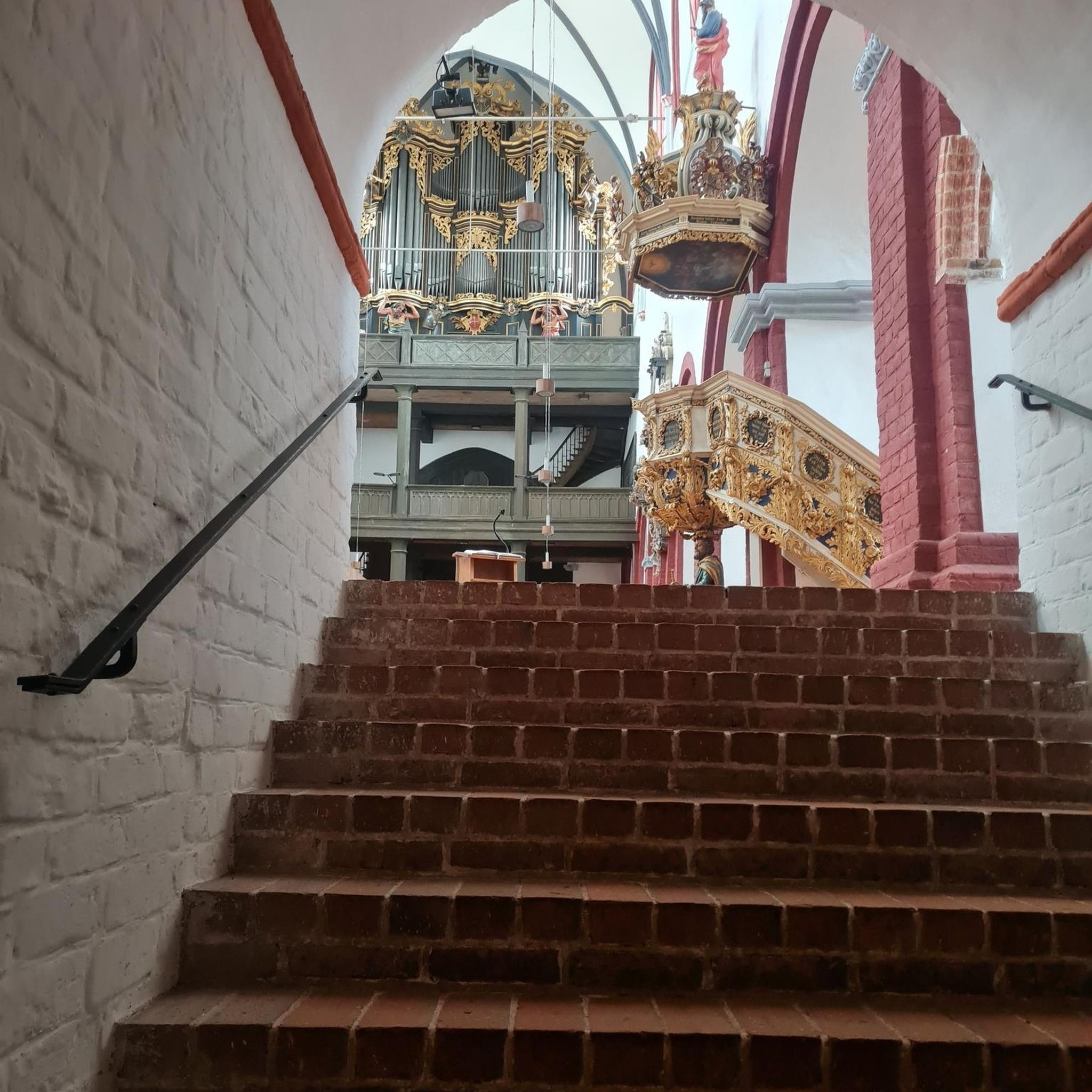
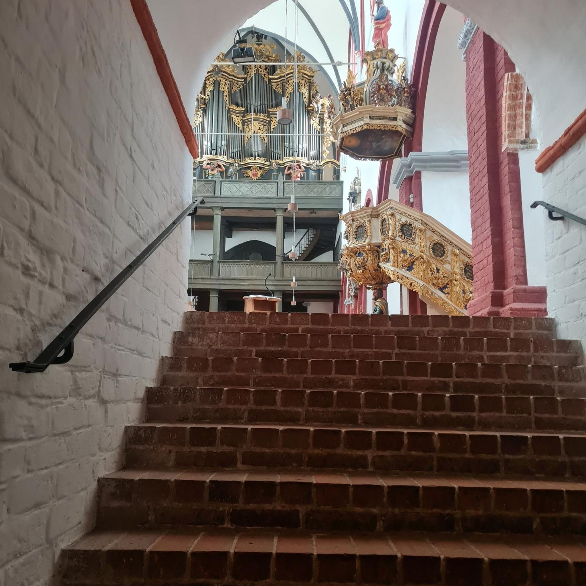
On the steep slope high above the Isar River stands the village church of St. John, first documented in 1148. Inside, the church, rebuilt around 1500, houses an impressive late Gothic winged altarpiece depicting John the Baptist in his shrine on the left and John the Evangelist on the right as the main figures. The masterful carvings on the wings depict scenes from the lives of the saints. In the lower altarpiece of the left wing, the baptism of Jesus by John is relocated from the Jordan to the Growing Rock, making it the oldest depiction of this natural monument. Saints Peter and James the Elder are inserted on either side of the shrine; the carved decorative top above contains a crucifixion group in the center, and next to it, Saints Simon, Bartholomew, and Sebastian. When the wings are closed, the two shrine guardians, St. Florian and St. George, are visible. Finally, the altar base displays the coats of arms of the founder, Jörg Wieland, and his wife, Susanna Behaim. Another special feature is the sacrament niche in the choir. Until the Gothic period, the Blessed Sacrament was kept in such small houses, only then were tabernacles introduced. The Baroque paintings of Jesus and the Twelve Apostles in the gallery are incomplete: The Savior, Peter, and John were removed during the subsequent installation of the organ. The organ case, dating from 1724, is a beautiful creation of the early Rococo period. The organ was originally built for the Oberaltaich Monastery and came to Usterling in 1857. The small fountain in front of the church is fed by the spring of the Growing Rock. Source: https://www.landau-isar.de/freizeit-tourismus/tourismus-und-kultur/sehenswuerdigkeiten/dorfkirche-usterling
1
0
The Goben sub-area encompasses a valuable section of the Isar floodplains north of the Isar, between Goben and Harburg. The area is bordered by the Isar dams to the south and a backwater dike to the north, thus largely cutting it off from the river's dynamics. Nevertheless, large, structurally rich riparian forest areas and oxbow lake complexes with numerous rare and endangered animal and plant species can still be found here. Furthermore, the sub-area is home to an extremely valuable burn area. A burn is a dry, open area in an otherwise moist riparian forest that developed on a gravel deposit. High-quality calcareous dry grassland is found here. Source: https://www.wwa-la.bayern.de/projekte/isar_life/projektgebiet/index.htm
2
0
The church is much more visible from the opposite bank of the Isar.
1
0

Great nature reserve not far from the city center
2
0

It is best to stroll through leisurely and enjoy nature (see, hear, taste, feel)
0
0

Worth seeing old church and only a stone's throw away from the Growing Rock.
1
0
Frequently Asked Questions
How many hiking trails in Landkreis Dingolfing-Landau are accessible by bus?
Landkreis Dingolfing-Landau offers a wide selection of over 600 hiking trails that are conveniently accessible by bus, making it easy to explore the region's diverse landscapes without a car.
How can I best use public transport to reach hiking trails in Landkreis Dingolfing-Landau?
The 'LanDi flexibel unterwegs' service is designed to connect you to various points in the region, including many trailheads. It operates on demand, allowing you to book rides via an app or phone to specific bus stops near hiking routes. This flexible system helps bridge the 'last mile' to your starting point.
Are there easy, family-friendly hikes accessible by bus?
Yes, many routes are suitable for families and beginners. For example, the Wayside Chapel by the Lake – Vilstal Nature Reserve Trail loop from Vilstal bei Marklkofen is an easy, circular walk through the Vilstal Nature Reserve, perfect for a relaxed outing.
What unique natural attractions can I see on bus-accessible hikes?
The region boasts several unique natural features. Near Landau an der Isar, you can visit the Wachsender Felsen von Usterling, a fascinating 'growing rock' formation. The Vilstalsee (Vils Valley Lake) and its surrounding nature reserve also offer beautiful landscapes and diverse wildlife.
Are there any circular routes starting from bus stops?
Yes, many bus-accessible trails are designed as circular routes, allowing you to start and end at the same bus stop. The View of the Isar weir at Landau – View of the Reservoir loop from Landau an der Isar is a great example, offering scenic views along the Isar River.
Can I bring my dog on these bus-accessible hiking trails?
Most hiking trails in Landkreis Dingolfing-Landau are dog-friendly, but it's important to keep your dog on a leash, especially in nature reserves like the Vilstal. Always be mindful of local regulations and other hikers. Public transport rules for dogs may vary, so check with the 'LanDi flexibel unterwegs' service beforehand.
What kind of landscapes will I encounter on these hikes?
You'll experience a diverse range of landscapes, from serene riverine environments along the Isar and Vils rivers to gentle rolling hills, expansive woodlands like the Landauer Wald, and picturesque agricultural fields. The Vilstal Nature Reserve, for instance, features meadows, wetlands, and reed beds.
Are there any historical or cultural landmarks along the bus-accessible routes?
Yes, some trails integrate the region's rich history. You might pass by traditional Bavarian farms, charming churches, or even castles. For example, the View of the Isar weir at Landau – St. Johannes Church Usterling loop from Isarauen bei Goben takes you past the notable St. Johannes Church.
What is the best time of year to go hiking from bus stations in Landkreis Dingolfing-Landau?
Spring, summer, and autumn are ideal for hiking in the region. Spring brings blooming nature, summer offers lush greenery, and autumn showcases vibrant foliage. While winter hiking is possible, some paths might be less accessible or require appropriate gear due to snow or ice.
Are there places to eat or stay near the bus-accessible trailheads?
Yes, towns like Landau an der Isar, Marklkofen, and Dingolfing, which serve as hubs for bus services and trail access, offer various cafes, restaurants, and accommodation options. You can often find local Bavarian cuisine to enjoy after your hike.
What do other hikers enjoy most about hiking in Landkreis Dingolfing-Landau?
The area is highly rated by the komoot community, with an average score of 4.57 stars. Reviewers often praise the quiet, well-maintained paths, the diverse natural beauty, and the accessibility of many routes, making it easy to enjoy nature without needing a car.
Are there any trails that feature views of the Isar River or its reservoirs?
Absolutely. The Isar River is a central feature of the region. The View of the Isar Reservoir – Dingolfing Reservoir loop from Teisbach offers excellent views of the reservoir, while other routes provide scenic perspectives of the Isar weir near Landau.
Most popular routes in Landkreis Dingolfing-Landau
Most popular attractions in Landkreis Dingolfing-Landau

Get inspired with the komoot mobile app


Didn’t find what you were looking for?
Check out more Hikes throughout Landkreis Dingolfing-Landau below and find the perfect route in your destination.
Explore more
Browse the best Hikes in other regions.
