The best city hikes and walks around Landkreis Esslingen
4.5
(32542)
139,287
hikers
230
hikes
Urban hiking trails around Landkreis Esslingen are characterized by a blend of historic townscapes, river valleys, and vineyard-clad slopes. The region, situated in Baden-Württemberg, Germany, features the Neckar river winding through its landscape, bordered by picturesque vineyards and gentle hills. These urban routes often incorporate elements of the Swabian Alb foothills, offering varied terrain within a city environment.
Best urban hiking trails around Landkreis Esslingen
- The most popular urban hiking route is Esslingen Castle – Inner bridge Esslingen loop from…
Last updated: July 16, 2026
4.5
(43)
171
hikers
Easy hike. Great for any fitness level. Easily-accessible paths. Suitable for all skill levels.
4.1
(13)
111
hikers
4.17km
01:05
30m
30m
Easy hike. Great for any fitness level. Easily-accessible paths. Suitable for all skill levels.

Sign up for free
4.3
(13)
94
hikers
Easy hike. Great for any fitness level. Easily-accessible paths. Suitable for all skill levels.
4.4
(9)
87
hikers
5.13km
01:18
10m
10m
Easy hike. Great for any fitness level. Easily-accessible paths. Suitable for all skill levels.
4.8
(9)
64
hikers
Easy hike. Great for any fitness level. Easily-accessible paths. Suitable for all skill levels.
Get access to more routes and recommendations from other explorers.
Sign up for free
Already have an account?
Our route recommendations are based on thousands of hikes, rides, and runs completed by other people on komoot.
Start today with a free account
Your next adventure awaits.
Login or Signup
Popular around Landkreis Esslingen
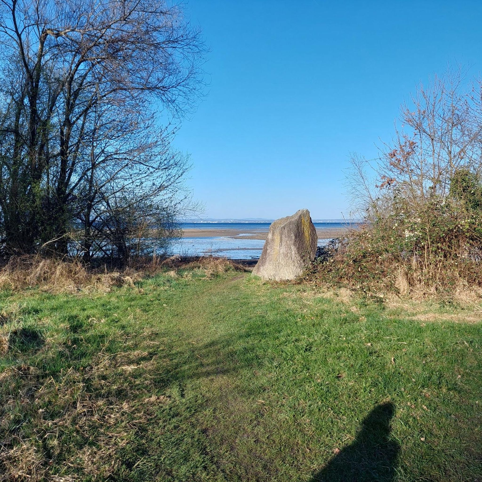
City hikes around Esslingen am Neckar

City hikes in Sauhag

City hikes in Landschaftsschutzgebiet Schurwaldrand Altbach-Plochingen-Reichenbach
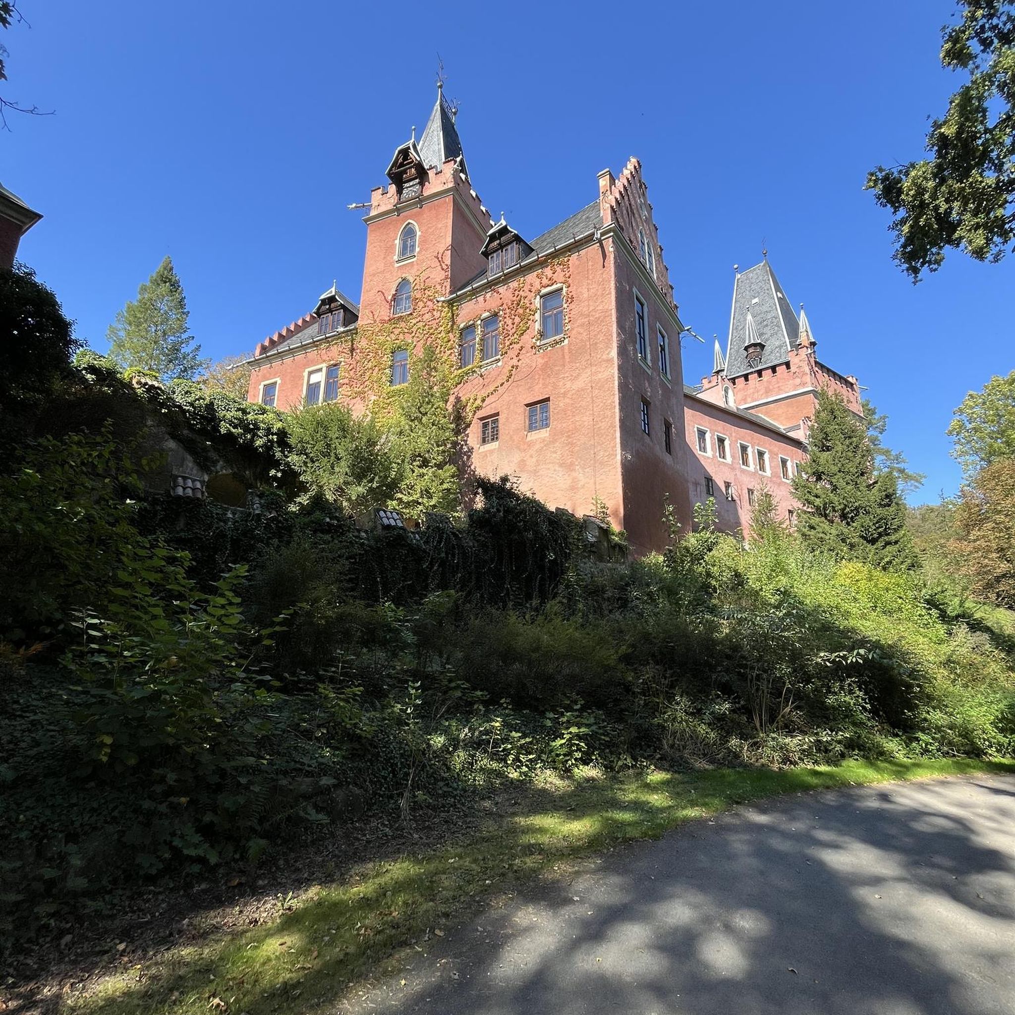
City hikes in Kirchert
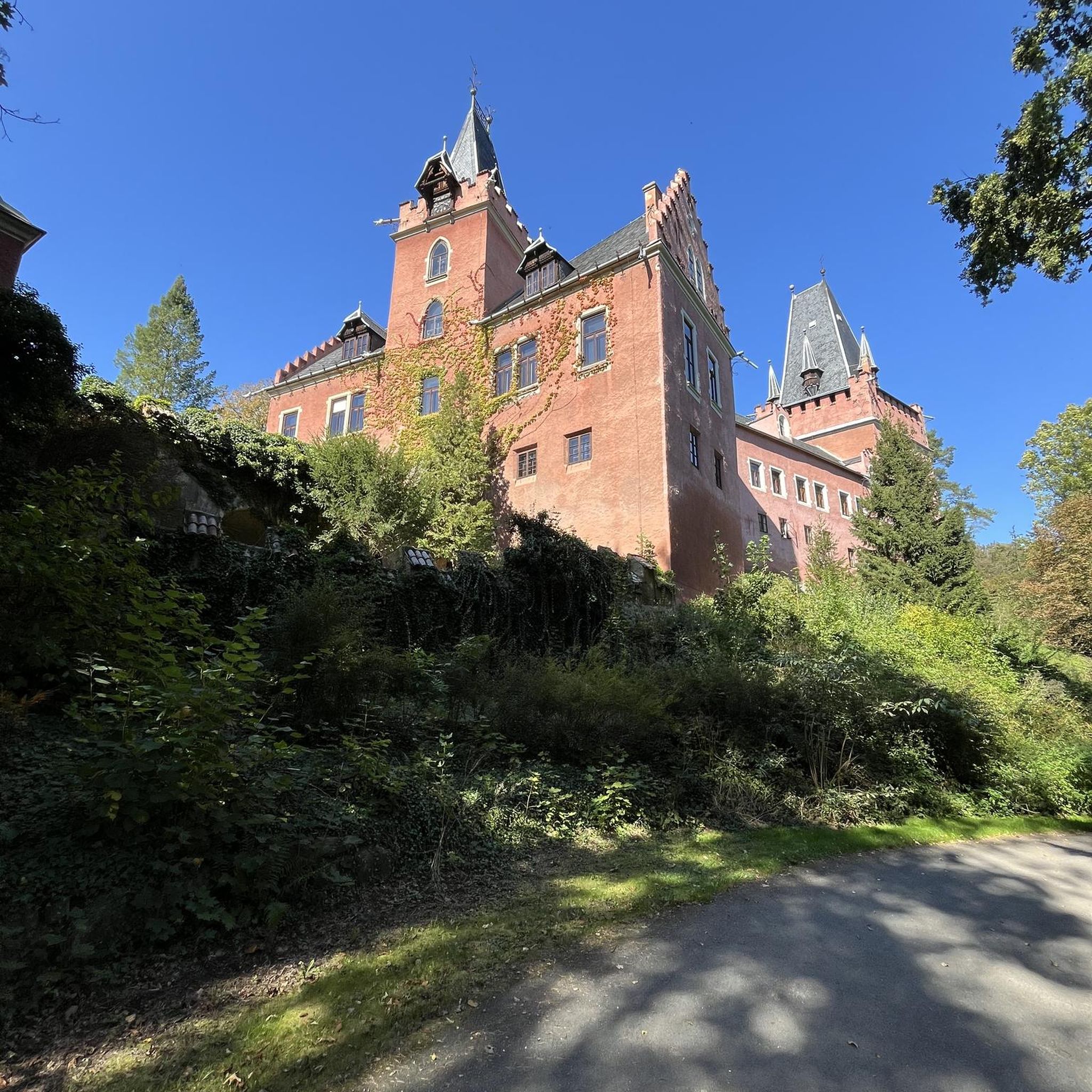
City hikes around Nürtingen
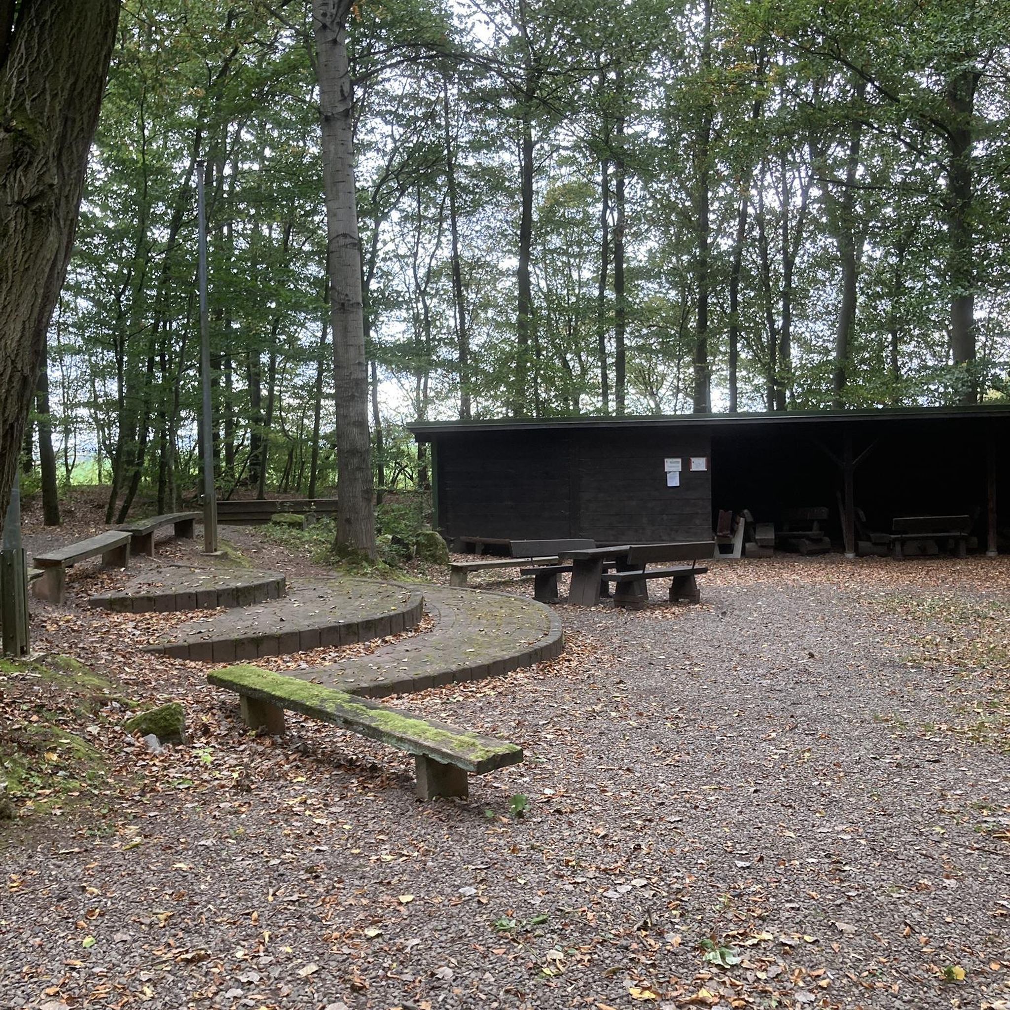
City hikes in Mittlerer Schurwald
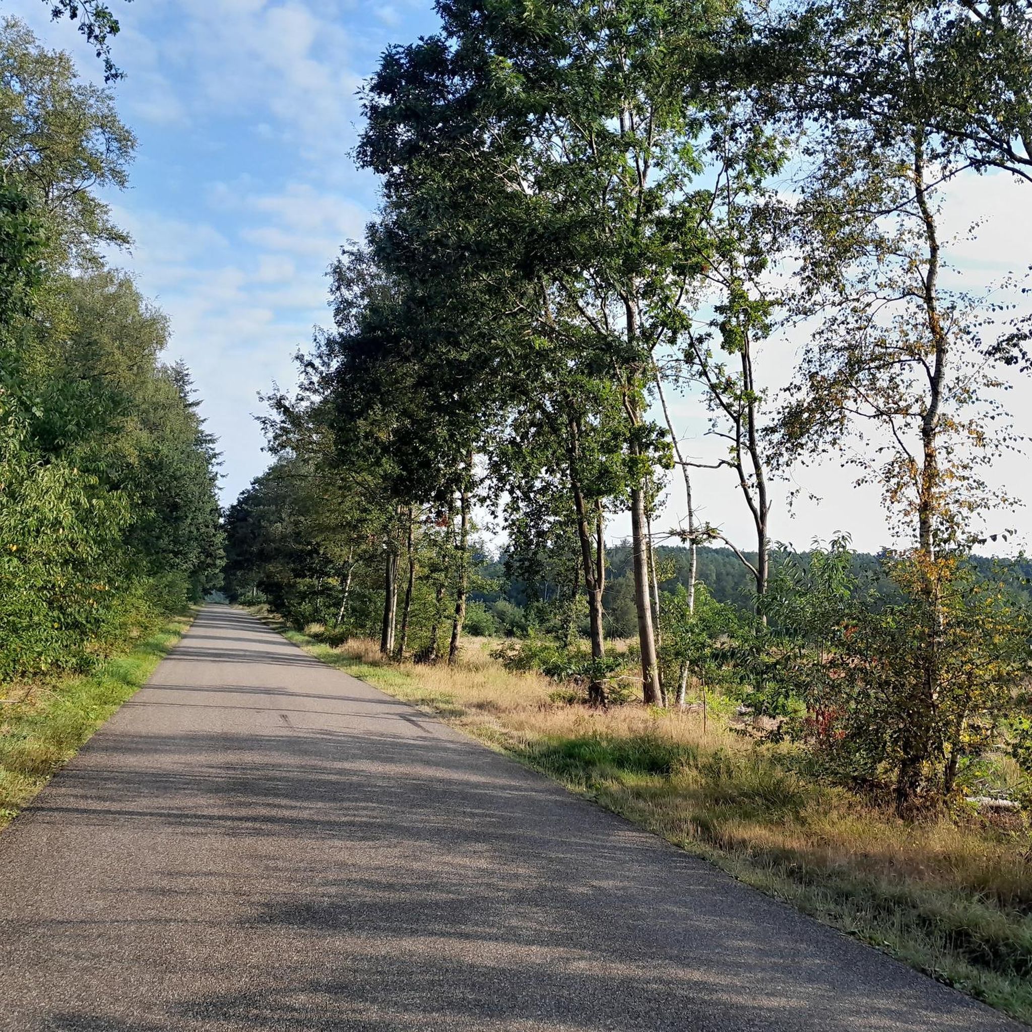
City hikes in Teck
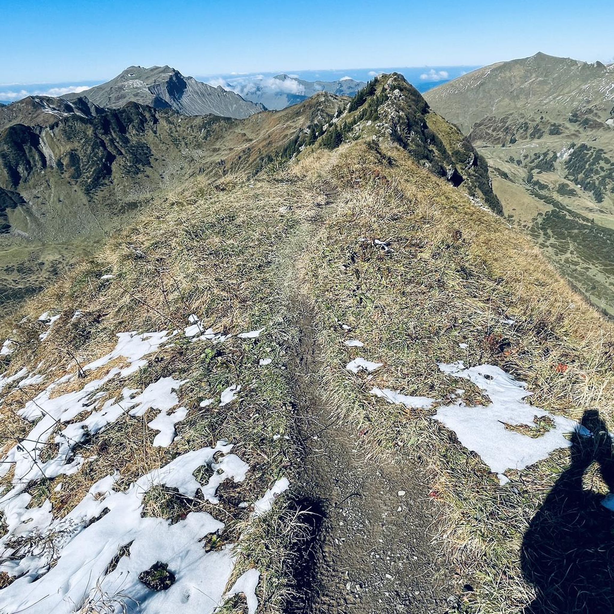
City hikes around Kirchheim unter Teck

City hikes around Wendlingen am Neckar

City hikes in Limburg
Other adventures around Landkreis Esslingen


Tips from the Community

The Wolfstor in Esslingen am Neckar, a large district town in Baden-Württemberg, was built around 1220 and is the oldest tower in the city. The gate tower at Küferstraße 41 is a protected monument. The gate was first mentioned in 1268 as Obertor, from 1411 as Brottor, and from 1551 as Wolfstor. The long-distance trade route from Speyer to Ulm led through the gate tower. The massive gate tower with a square base, a half-timbered outer wall on the city side, and a crenellated parapet has a curved hipped roof, crowned by a small bell tower. The pointed-arched gate passage is adorned with Staufen lions. The name Wolfstor comes from the appearance of the weathered Staufen lions, which bear a greater resemblance to wolves. In 2013, during renovation work on the former Oberesslingen rectory, a large stack of old issues of the "Schwäbische Rundschau" from the years 1893 to 1900 was found. This find reveals, among other things, that the church council decided in January 1898 to keep the church bells on the Wolfsturm and that the municipal council acknowledged this "with expressions of gratitude". The roof covering of the tower with hollow tiles has recently been renewed. Source: https://de.wikipedia.org/wiki/Wolfstor
0
0

the bridge arch was first mentioned in 1259. and demolished and relocated in 1975
4
0

Beautifully landscaped park on the Neckar riverbank with Villa Merkel and the old gardener's house. But the old trees and the art objects are also worth seeing.
0
0
Great gardener's house with an attached greenhouse and a country garden. It must have been nice living here. I almost like the exterior better than Villa Merkel.
0
0

Merkelpark is always worth a trip
0
0
Merkelpark with a view of the Neckar
0
0

Magnificent view of Esslingen and the Neckar valley from the vineyards near the Neckarhaldentor.
4
0
The Thick Tower, built around 1527 and used to defend the city at that time, now offers a special setting for events as an outstanding monument of the Esslingen city wall.
4
0
Frequently Asked Questions
How many urban hiking trails are available in Landkreis Esslingen?
Landkreis Esslingen offers a wide selection of urban hiking trails, with over 170 routes available. The majority of these, more than 150, are rated as easy, making them accessible for various fitness levels.
What makes urban hiking in Landkreis Esslingen unique?
Urban hiking in Landkreis Esslingen is unique due to its blend of historical charm and natural beauty. You can explore medieval towns like Esslingen am Neckar with its half-timbered houses and 'Klein Venedig' canals, while also enjoying picturesque vineyard landscapes along the Neckar Valley. The trails often provide stunning views of the river, surrounding hills, and historic architecture.
What do other hikers enjoy most about urban trails in Landkreis Esslingen?
The komoot community highly rates the urban trails in Landkreis Esslingen, with an average score of 4.57 out of 5 stars from over 29,500 ratings. Hikers frequently praise the well-maintained paths, the scenic views, and the opportunity to combine nature experiences with cultural exploration of the historic towns.
Are there easy urban hiking trails suitable for beginners or families?
Yes, Landkreis Esslingen is ideal for beginners and families, with over 150 easy urban hiking routes. Many of these trails feature minimal elevation gain and shorter distances, perfect for a leisurely stroll. For example, the Nürtingen Old Town loop from Nürtingen is an easy option, covering just over 4 km with little elevation change.
Can I bring my dog on urban hikes in Landkreis Esslingen?
Generally, dogs are welcome on urban hiking trails in Landkreis Esslingen. It's always recommended to keep your dog on a leash, especially in populated areas, nature reserves, or near wildlife. Please be mindful of local regulations and ensure you clean up after your pet.
What kind of viewpoints can I expect on urban hikes in Landkreis Esslingen?
Urban hikes in Landkreis Esslingen often lead to fantastic viewpoints. You can enjoy panoramic vistas from historic sites like Esslingen Castle, or from the vineyard slopes overlooking the Neckar Valley. While not strictly urban, nearby highlights like the Breitenstein Viewpoint and Jusi Summit Viewpoint offer expansive views of the Swabian Alb and beyond, often accessible as part of longer routes that start or end in urban areas.
Are there urban hiking routes that pass by historical sites or landmarks?
Absolutely. Many urban hikes in Landkreis Esslingen are designed to showcase the region's rich history. The Esslingen Castle – Inner bridge Esslingen loop, for instance, takes you past the historic Esslingen Castle. Other routes explore the charming old towns of Esslingen and Nürtingen, featuring medieval architecture, churches, and picturesque squares.
Are there urban hikes in Landkreis Esslingen accessible by public transport?
Yes, many urban hiking trailheads in Landkreis Esslingen are well-connected by public transport. Towns like Esslingen am Neckar and Nürtingen have train stations and bus services, making it easy to reach the starting points of various routes without a car. This allows for convenient one-way hikes or circular routes directly from urban centers.
Where can I find parking for urban hikes in Landkreis Esslingen?
Parking is generally available in the towns and villages that serve as starting points for urban hikes. Look for designated parking areas in Esslingen am Neckar, Nürtingen, and other urban centers. Many routes, such as the Inner bridge Esslingen – Esslingen Old Town loop, start and end in areas with public parking facilities.
Are there any urban hiking routes that include a waterfall?
While most urban hikes focus on townscapes and vineyards, the wider Landkreis Esslingen region does feature natural attractions like waterfalls. The Stepped Waterfall on the Föllbach and the Neidlingen Waterfall are notable natural monuments in the area, often accessible via routes that might begin or pass through more rural-urban fringes.
What is the best time of year for urban hiking in Landkreis Esslingen?
Urban hiking in Landkreis Esslingen is enjoyable year-round. Spring brings blooming orchards and vineyards, while autumn offers vibrant fall foliage and the grape harvest season. Summer is perfect for longer days and outdoor cafes, and even winter can be charming with crisp air and festive town decorations, especially in the historic centers.
Are there urban circular walks available?
Yes, many urban hiking routes in Landkreis Esslingen are designed as circular walks, allowing you to start and end at the same point. This is convenient for those using public transport or parking a car. Examples include the Neckarhaldentor Esslingen – View of Esslingen am Neckar loop, which offers a compact circular experience.
Most popular routes around Landkreis Esslingen
Most popular attractions around Landkreis Esslingen

Get inspired with the komoot mobile app


Didn’t find what you were looking for?
Check out more Hikes throughout Landkreis Esslingen below and find the perfect route in your destination.
Explore more
Browse the best Hikes in other regions.
