The best hikes from bus stations in the Ötztaler Alpen
4.6
(87319)
400,604
hikers
1,863
hikes
Bus station hiking trails in the Ötztaler Alpen offer access to a diverse alpine landscape characterized by majestic peaks, extensive glaciers, and deep stone pine forests. The region features numerous valleys, such as the Vent and Gaisberg valleys, alongside serene lakes like Lake Piburger See, a declared natural monument. Hikers can explore a range of alpine vegetation zones, from mountain forests and pastures to rocky terrain and dramatic gorges. This area provides a comprehensive network of trails suitable for various…
Last updated: August 4, 2026
4.8
(737)
2,785
hikers
8.15km
03:01
290m
300m
The Castle Juval Circular Hike offers a moderate trekking experience through scenic South Tyrol, known for its cultural significance and beautiful vistas. This route, covering 5.1 miles (8.1 km) with…
4.4
(342)
1,313
hikers
5.41km
01:38
180m
190m
The Passeirer Schildhöfeweg is an easy circular hike in South Tyrol's Passeier Valley, offering a culturally rich experience. You will hike through diverse landscapes, including meadows, forests, and chestnut groves,…

Sign up for free
4.7
(339)
1,299
hikers
8.41km
02:52
250m
250m
Embark on the Wallburgweg Loop, a moderate hike covering 5.2 miles (8.4 km) with an elevation gain of 810 feet (247 metres). You can expect to complete this route in…
4.4
(175)
630
hikers
4.32km
01:29
220m
220m
Embark on the Tyrol Culture Trail, an easy hike that guides you through picturesque vineyards and apple orchards. As you walk, you'll enjoy magnificent views stretching across the Merano basin…
4.8
(173)
766
hikers
15.8km
07:45
1,380m
1,370m
Hike the difficult 9.8-mile (15.8 km) From Tirolo Croce to Lago di Vizze circular route, gaining 4515 feet (1376 metres) in 7h 45m.
Get access to more routes and recommendations from other explorers.
Sign up for free
Already have an account?
Our route recommendations are based on thousands of hikes, rides, and runs completed by other people on komoot.
Start today with a free account
Your next adventure awaits.
Login or Signup
Popular around Ötztaler Alpen
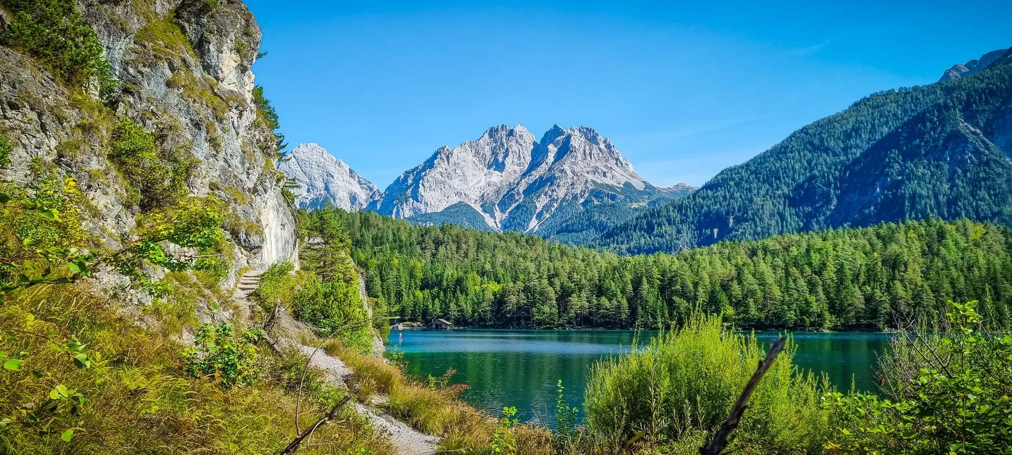
Starkenberg Panorama Trail – Lakes, gorges and noble paths

L1 from Garmisch to Brescia – Far from the classic Alpine crossings
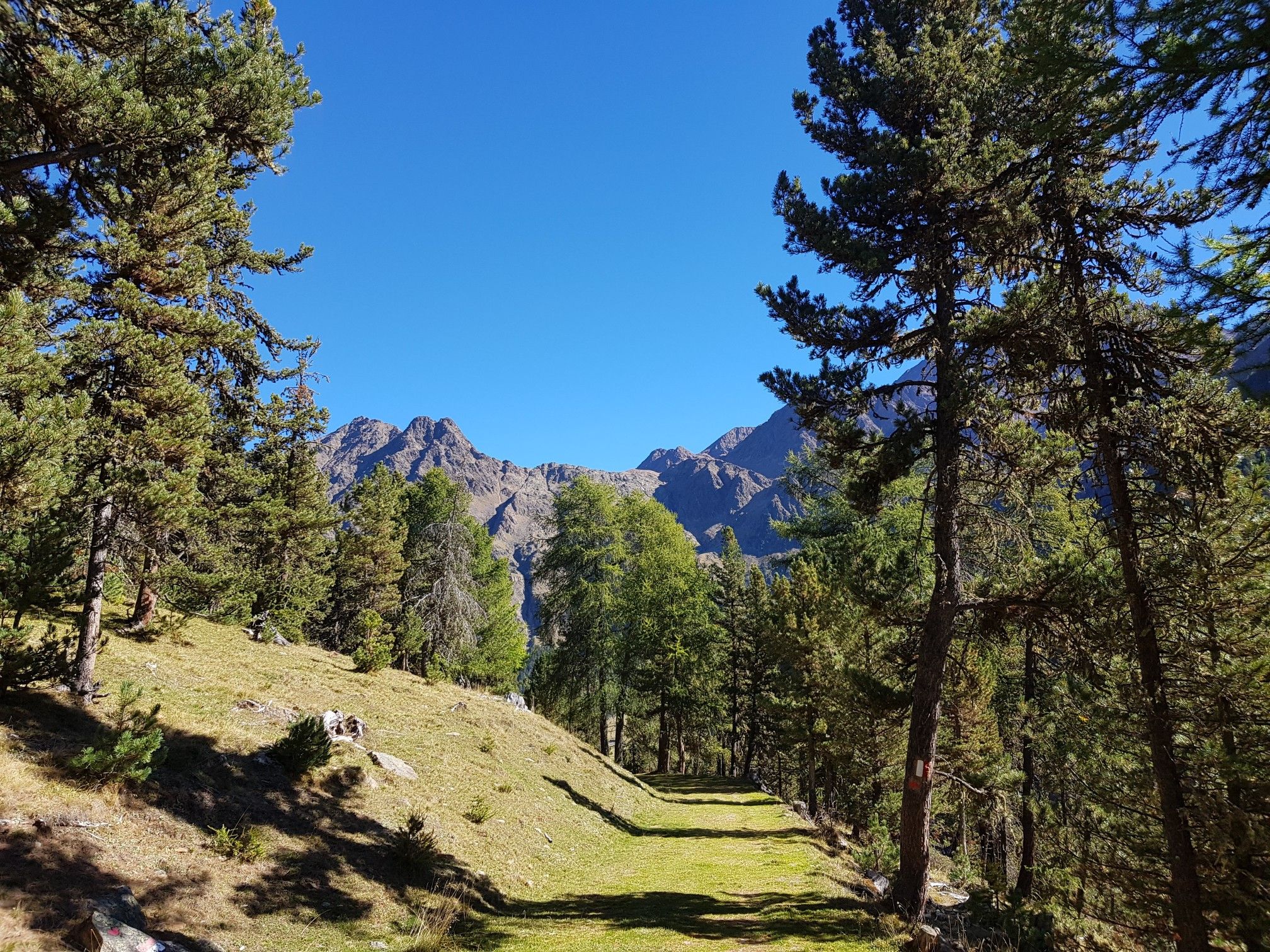
Vinschger Höhenweg – hiking South Tyrol's Sonnenberg mountain
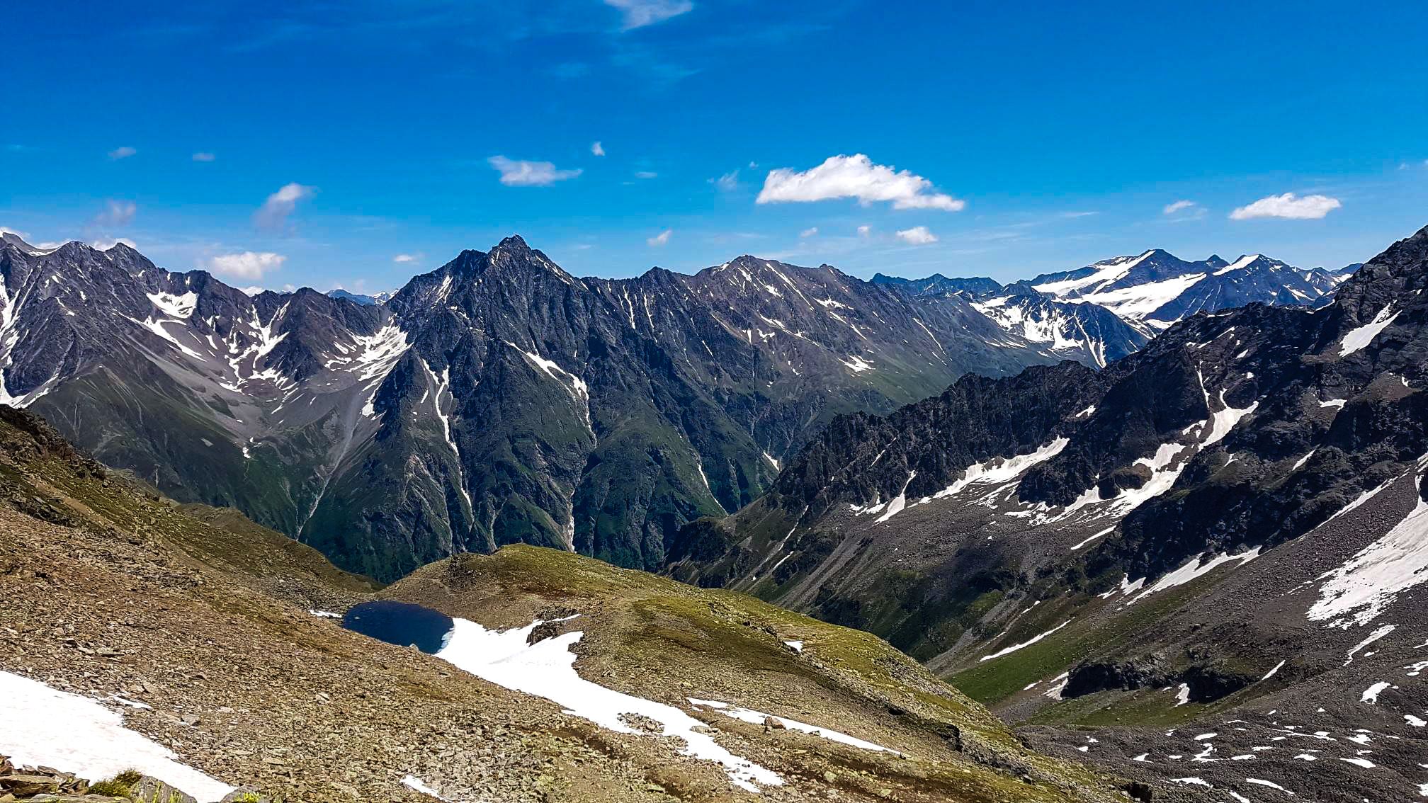
Kaunergrat circular hike in Austria – a dream for experienced mountaineers
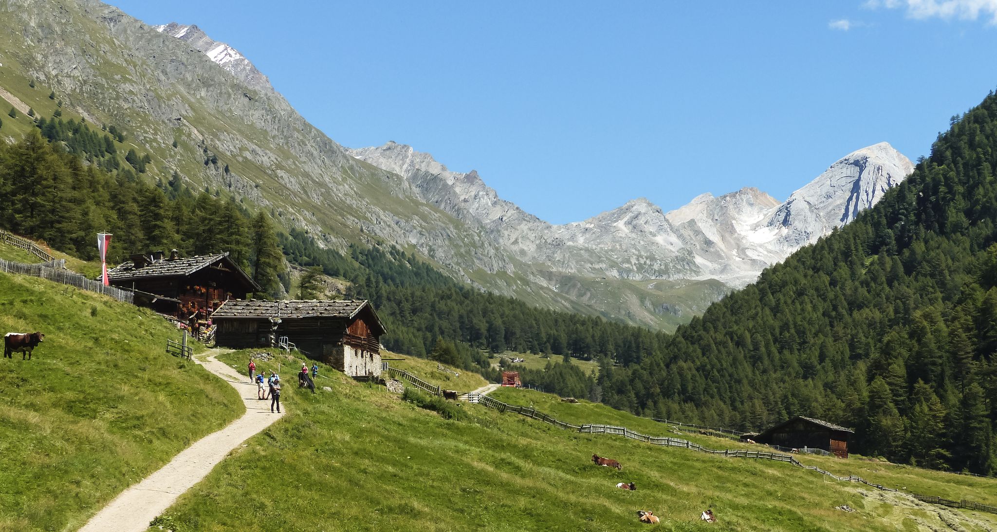
Meraner Höhenweg — in 8 stages through sunny South Tyrol
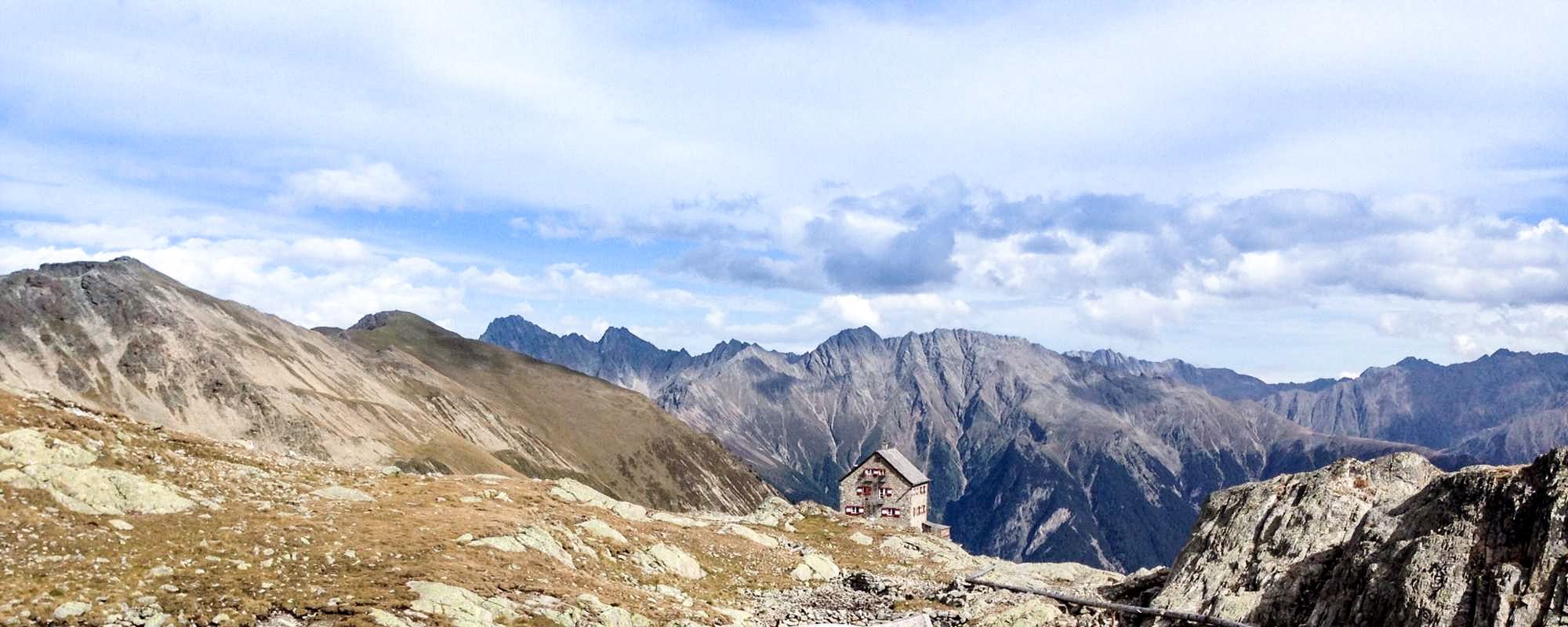
4 romantic huts high above the Ötztal

E5 – Hiking across the Alps
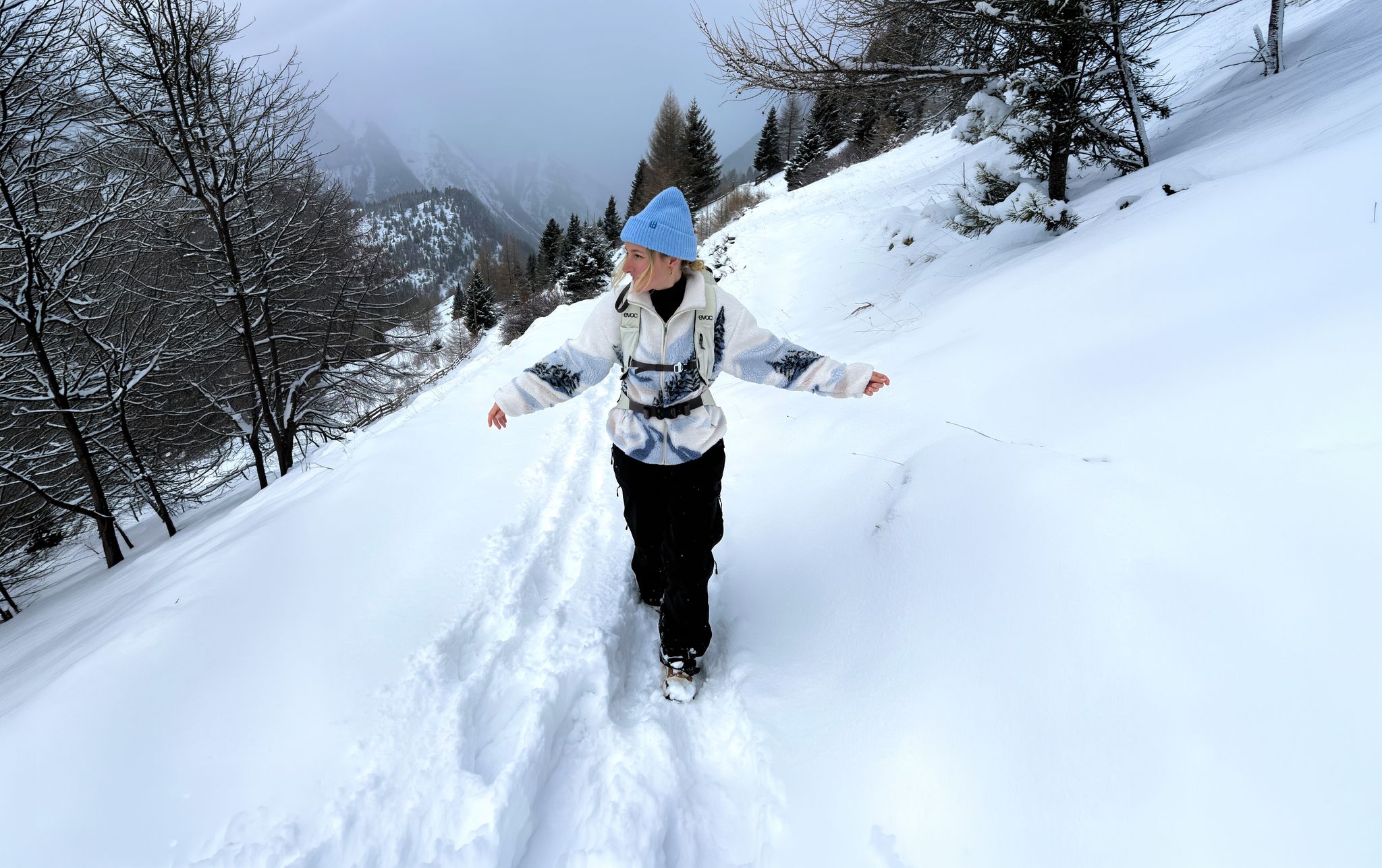
Scenic Winter Hikes around Austria
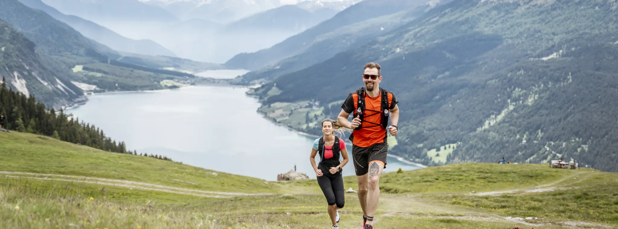
Trail running in Nauders – discover the alpine running paradise
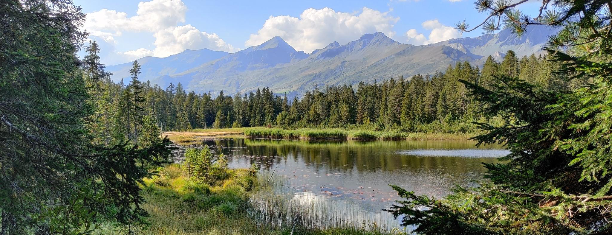
Hiking and water - experience the perfect combination in Nauders
Other adventures in the Ötztaler Alpen


Tips from the Community

From the bridge that crosses the Passer at this point, there is a magnificent view of the rushing water, as well as the surrounding landscape in the Passeier Valley.
3
0

The view from the Sonnenberg is worth the effort of the climb.
0
0

beautiful cycle path along the river
0
0
beautiful cycle path along the river
0
0

Beautiful sculptures in the cool shade. Also benches for sitting. And lots of clover. Who can find the four-leaf one?
0
0

Very nice view of the Vinschgau.
0
1

Beautiful and quiet Waalweg, unfortunately there was no water in the Waal.
1
0

Highly recommended location with a great outdoor terrace 🌲🦋 really delicious homemade cakes, coffee and whatever other refreshing drinks you might like 👌🍰☕️🍷
2
0
Frequently Asked Questions
How many bus-accessible hiking trails are there in the Ötztaler Alpen?
The Ötztaler Alpen offers nearly 1800 hiking routes that are accessible from bus stations. These range from easy strolls to challenging high-alpine expeditions, ensuring options for all skill levels.
What kind of landscapes can I expect on bus-accessible hikes in the Ötztaler Alpen?
You'll encounter a diverse range of landscapes, from majestic alpine scenery with peaks over 3,000 meters to impressive glaciers, deep stone pine forests, and serene lake environments. Many trails pass through the Ötztal Nature Park, showcasing its unique flora and geological features.
Are there any easy, family-friendly bus-accessible hikes in the Ötztaler Alpen?
Yes, the region has over 500 easy routes suitable for families. For example, the Passeirer Schildhöfeweg - circular hike is an easy option, offering gentle slopes and beautiful scenery. The Piburger Lake Circuit is also known for being family-friendly.
Can I find circular hiking routes that start and end at a bus station?
Absolutely. Many routes are designed as loops, allowing you to return to your starting point without needing additional transport. The Castle Juval Circular Hike is a moderate example, offering scenic views and returning you to your initial bus stop.
What are some notable natural features or landmarks I might see on these hikes?
The Ötztaler Alpen is rich in natural wonders. You might encounter dramatic gorges like the Passer Gorge, or impressive waterfalls such as the Lehner Waterfall and the Stuibenfall, Tyrol's highest waterfall. The Piburger See, a declared natural monument, is another highlight. For those interested in geological formations, you could explore areas with caves like the Gallruth Tunnel Entrance or the Hexenhöhle (Witch's Cave).
What do other hikers enjoy most about bus-accessible trails in the Ötztaler Alpen?
The komoot community highly rates the hiking experience in the Ötztaler Alpen, with an average score of 4.6 stars from over 78,000 ratings. Hikers frequently praise the well-maintained trails, the stunning alpine vistas, and the convenience of accessing diverse routes directly from public transport stops.
Are there any cultural or historical points of interest along bus-accessible routes?
Yes, the region has a rich history. You can find trails that pass by historical sites or cultural landmarks. The Tyrol Culture Trail is an easy route specifically designed to highlight the cultural heritage of the area. Additionally, the Wallburgweg Loop offers insights into ancient fortifications.
What is the best time of year for bus-accessible hiking in the Ötztaler Alpen?
The hiking season generally runs from late spring to early autumn (May to October). During summer, all trails are typically accessible, offering pleasant temperatures and lush scenery. Early autumn provides stunning fall colors and often clearer views, though higher alpine routes may see early snow.
Are there any challenging bus-accessible hikes for experienced hikers?
Yes, for experienced hikers seeking a challenge, there are nearly 400 difficult routes. The Mutspitze and Spronser Lakes Loop is a demanding option, featuring significant elevation gain and breathtaking high-alpine scenery, accessible via public transport connections.
Can I find routes that lead to mountain huts for refreshments or overnight stays?
The Ötztaler Alpen features over 100 managed alpine pastures and huts. Many bus-accessible trails are part of longer networks, like sections of the Ötztal Trek, which connect these huts, providing opportunities for refreshments or multi-day tours. Always check hut opening times in advance.
Are there any specific trails that offer views of glaciers?
Yes, the Ötztaler Alpen is home to impressive glaciers like the Rofenkarferner. While some glacier tours require a guide, many trails within the Ötztal Nature Park offer stunning panoramic views of these icy giants from a safe distance, accessible via bus connections to trailheads.
Most popular routes in the Ötztaler Alpen
Most popular attractions in the Ötztaler Alpen

Get inspired with the komoot mobile app


Explore more
Browse the best Hikes in other regions.
