The best hikes from bus stations around Chiemsee
4.5
(32713)
160,181
hikers
909
hikes
Bus station hiking trails around Chiemsee explore a diverse landscape centered on Bavaria's largest lake, formed by glacial activity. The region features the expansive Chiemsee lake, surrounded by the foothills of the Chiemgau Alps, offering both lakeside paths and mountain vistas. Hikers can navigate through nature reserves, including the Eggstätt-Hemhofer lake plain and the Kendlmühlfilze high moor, characterized by forests, wetlands, and rolling hills. The terrain varies from flat, accessible routes along the water's edge to more challenging ascents into…
Last updated: September 23, 2026
4.7
(758)
2,796
hikers
8.48km
02:12
50m
50m
Moderate hike. Good fitness required. Easily-accessible paths. Suitable for all skill levels.
4.5
(53)
270
hikers
6.08km
01:35
40m
40m
Easy hike. Great for any fitness level. Easily-accessible paths. Suitable for all skill levels.

4.7
(449)
1,625
hikers
8.76km
03:00
410m
410m
Moderate hike. Good fitness required. Mostly accessible paths. Sure-footedness required.
4.7
(250)
1,100
hikers
10.2km
04:53
800m
800m
Moderate hike. Good fitness required. Mostly accessible paths. Sure-footedness required.
4.5
(8)
39
hikers
12.6km
03:20
120m
120m
Moderate hike. Good fitness required. Easily-accessible paths. Suitable for all skill levels.
Get access to more routes and recommendations from other explorers.
Already have an account?
Our route recommendations are based on thousands of hikes, rides, and runs completed by other people on komoot.
Start today with a free account
Your next adventure awaits.
Popular around Chiemsee
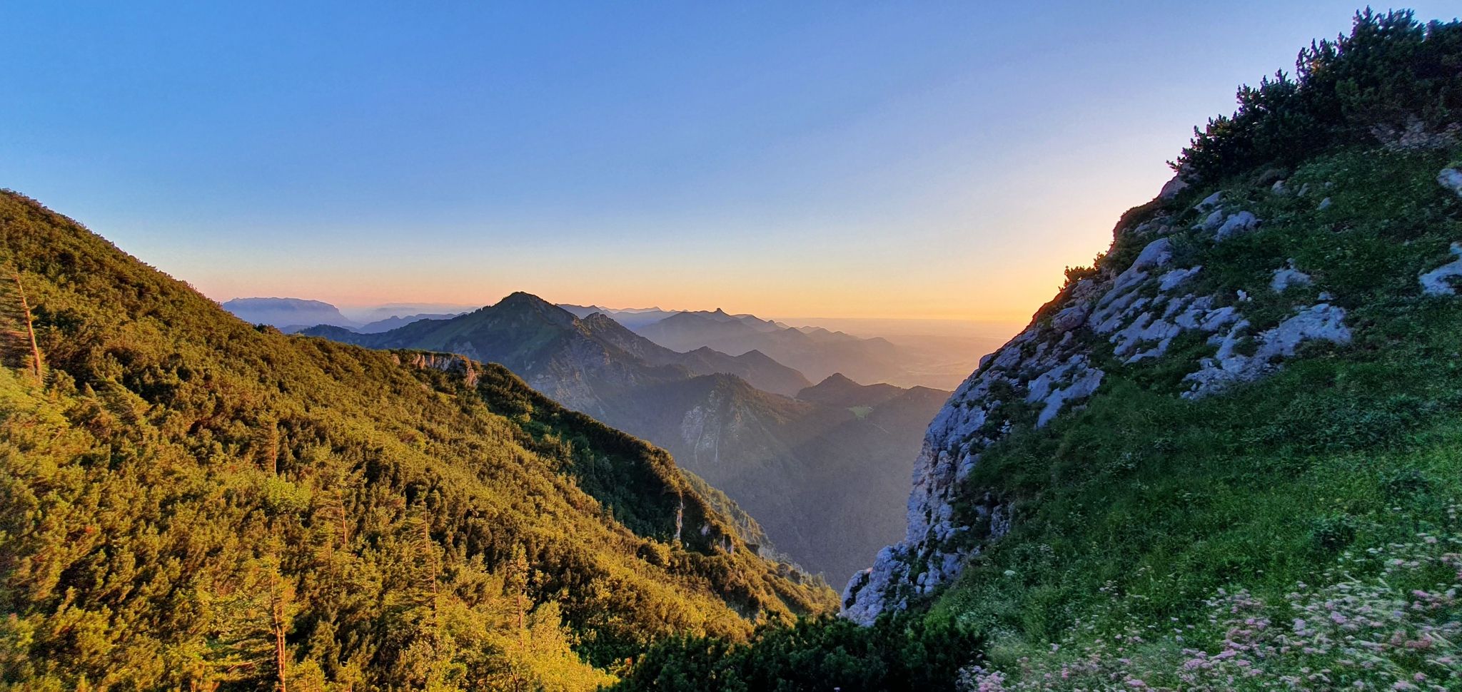
The SalzAlpenSteig – On the tracks of white gold

Maximilian Trail in Germany — Lake Constance to Königssee
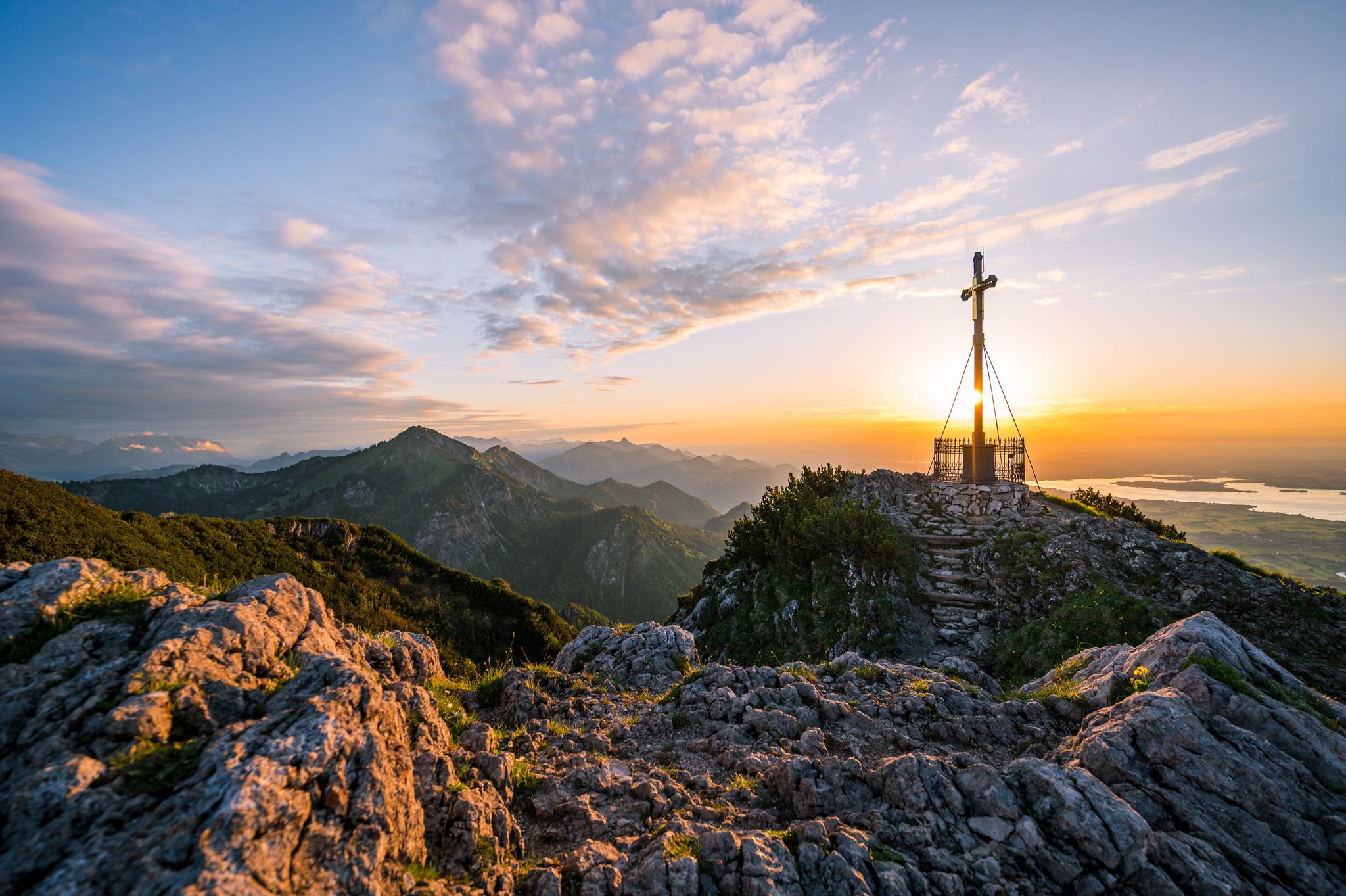
Autumn in Chiemgau – an atmospheric hiking break for two

Hiking through Bavaria's cultural landscapes

Hiking without borders – mountainous Tours in Germany and Austria

Thousands of kilometres of hiking fun – long-distance hiking trails in Bavaria
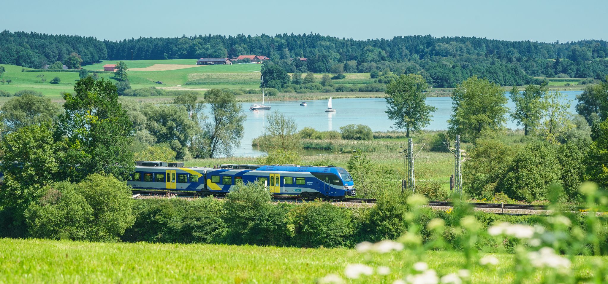
Out of the city – summer retreats with the Bavarian Regiobahn
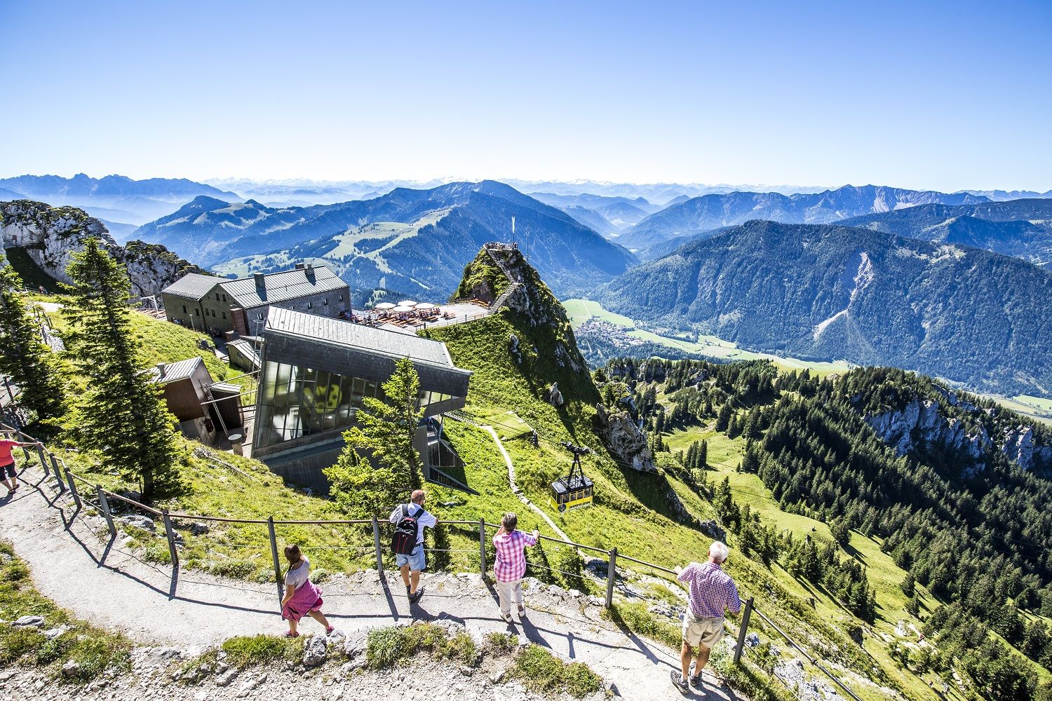
A little help to the top – mountain railways & cable cars in Chiemgau
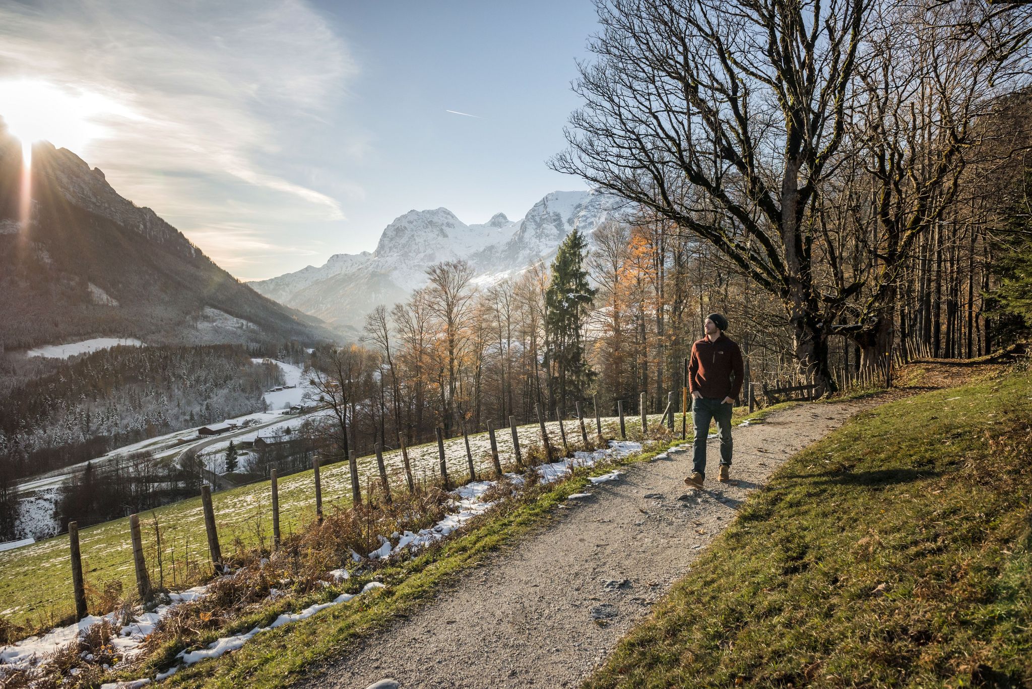
8 delightful winter hikes in Upper Bavaria
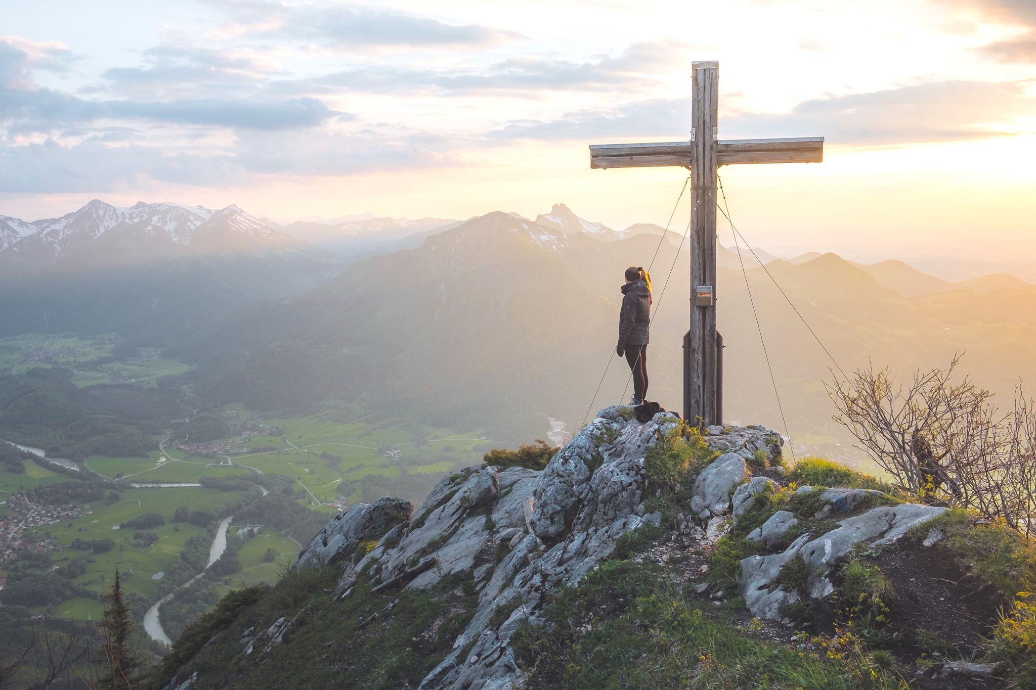
High up in Chiemgau and Berchtesgadener Land
Other adventures around Chiemsee


Tips from the Community

The hill is named Weinberg (vineyard). Although no vines grow here anymore today, the place name has remained. After a short climb through the forest, a fantastic view opens up onto the Klostersee lake, glittering in the sun with its peninsula. Count Palatine Aribo and his wife founded the complex in 994 on the site of an older fortification. In clear weather conditions, the view even extends to the chain of the Chiemgau Alps.
0
0
There is no timetable for the ferry across the Alz. You have to call it. Where the stairs lead down to the water, there is a long rope hanging on the bank. If you pull it hard, a ferryman will soon stomp down from the Roiter guesthouse to the landing stage. The boat is powered solely by the force of the Alz. It is attached to a wire rope stretched across the river and is pushed to the other bank solely by the current due to the inclination of the hull. The ferry remains at the landing stage during high and low water, as well as on days when the Roiter guesthouse is closed. A few kilometers downstream, there is a small bridge near the Baumburg monastery. You can find the opening hours of the Roiter guesthouse here: http://roiter.de/
2
0
Between Seebruck and Altenmarkt, the Obere Alz winds its way almost untouched through floodplain forests and the remains of moors, as well as past romantic wildflower meadows. The protected area serves as a breeding and resting place for many bird species. The beaver has also settled here again. Gnawed willows are a clear sign that the rodent, with its large incisors, is nearby.
1
0
The fact that you can swim excellently in the Alz is thanks to the Chiemsee located upstream. The sediments washed in by the Tiroler Ache are deposited, and the water that flows out is accordingly clear. In addition, the lake releases its summer warmth to the river, which is why you can still jump into the water here wonderfully even in the early autumn months. Nevertheless, you should always keep an eye on the current.
1
0


The restaurant boasts a beautiful location and excellent cuisine. A ferry ride on the Alz River is a truly special experience.
0
0

Great summit with a great view
0
0

It's not a spring in the traditional sense, but rather a headwaters area (slope, see photo), where the water converges on the clayey subsoil to the edge of the forest and then rises to the surface. This is where one of Bavaria's longest wild rivers begins its journey to its mouth in Lake Chiemsee in Schafwaschener Bay. A beautiful hiking trail leads from the source to the mouth.
0
0
Frequently Asked Questions
How many bus station hiking trails are available around Chiemsee?
There are over 880 hiking routes around Chiemsee that are accessible by bus. This includes a wide range of options, from easy lakeside strolls to more challenging mountain ascents, ensuring there's something for every hiker.
Are there easy or family-friendly bus-accessible hikes around Chiemsee?
Yes, Chiemsee offers numerous easy and family-friendly routes accessible by bus. Many trails along the lake shore or through the gentle landscapes are suitable for all ages. For example, the View of Fraueninsel – Gstadt on Lake Chiemsee 🌊 loop from Breitbrunn am Chiemsee is an easy option that provides beautiful lake views.
What kind of landscapes can I expect on bus-accessible hikes around Chiemsee?
Hikes around Chiemsee offer a diverse range of landscapes. You can expect stunning lake views, picturesque forests, and rolling hills. The region is known for its clear waters, natural shorelines, and the dramatic backdrop of the Chiemgau Alps. Some trails also lead through unique natural areas like the Eggstätt-Hemhofer lake plain or the Kendlmühlfilze high moor.
Are there circular routes available from bus stops around Chiemsee?
Absolutely. Many bus-accessible trails around Chiemsee are designed as circular routes, allowing you to start and end your hike at the same bus stop without needing to retrace your steps. An example is the Kautsee Bridge – Hartsee views loop from Eggstätt, which offers scenic views and a convenient return to your starting point.
How can I find bus routes and timetables to reach these trailheads?
To plan your journey, we recommend checking the local public transport websites or apps for current bus routes and timetables in the Chiemsee region. Many trailheads are directly served by regional bus lines, making it easy to reach your starting point without a car.
What is the best season for bus-accessible hikes around Chiemsee?
The best season for hiking around Chiemsee generally spans from spring to autumn (April to October). During these months, the weather is usually pleasant, and the landscapes are vibrant. Spring brings blooming flowers, summer offers warm lake breezes, and autumn provides stunning foliage. Some lower-elevation trails are also suitable for winter walks, especially on clear, crisp days.
Are there any scenic viewpoints accessible from bus station trails?
Yes, many bus-accessible trails lead to breathtaking viewpoints. You can find spots offering panoramic views over Lake Chiemsee and the Chiemgau Alps. For instance, the View of Fraueninsel is a popular highlight that can be incorporated into several lakeside walks.
Can I find trails that pass by natural monuments or unique features?
The Chiemsee region is rich in natural beauty. Several bus-accessible trails will take you past significant natural monuments. You might encounter features like the Mouth of the Tiroler Ache or the Tiroler Achen Estuary Nature Reserve, which are important habitats for various bird species.
Are bus station hiking trails around Chiemsee dog-friendly?
Many trails around Chiemsee are dog-friendly, allowing you to enjoy the outdoors with your canine companion. However, it's always advisable to keep dogs on a leash, especially in nature reserves or areas with livestock. Please check specific trail regulations for any restrictions before you go.
Are there places to eat or rest near the bus-accessible hiking routes?
Yes, the Chiemsee region is well-equipped with amenities for hikers. Many villages and towns along the bus routes offer cafes, restaurants, and traditional Bavarian inns where you can enjoy a meal or a refreshing drink. Some trails also pass by mountain huts, such as the Gori Alm, providing opportunities for a break.
What do other hikers enjoy most about bus-accessible trails in Chiemsee?
The bus-accessible trails around Chiemsee are highly rated by the komoot community, with an average score of 4.49 stars. Reviewers often praise the stunning lake views, the well-maintained paths, and the convenience of reaching trailheads via public transport. The diversity of routes, from easy strolls to more challenging mountain hikes, is also frequently highlighted.
Are there any trails that offer views of the famous Chiemsee islands?
Yes, several bus-accessible trails provide excellent views of the iconic Herreninsel and Fraueninsel. The View of Fraueninsel – Gstadt on Lake Chiemsee 🌊 loop from Breitbrunn am Chiemsee is a prime example, offering picturesque glimpses of Fraueninsel. You can also find viewpoints like View over Lake Chiemsee and the Chiemgau Alps that encompass the islands in their panoramic scope.
Most popular routes around Chiemsee
Most popular attractions around Chiemsee

Get inspired with the komoot mobile app


Explore more
Browse the best Hikes in other regions.
