The best traffic-free bike rides in Sierra Azul Open Space Preserve
4.7
(67)
2,289
riders
56
rides
Touring cycling in Sierra Azul Open Space Preserve offers an expansive network of multi-use trails within the Santa Cruz Mountains. The preserve features diverse landscapes, including prominent peaks like Mount Umunhum and Mount El Sombroso, providing panoramic views of the Santa Clara Valley and Lexington Reservoir. Cyclists can navigate through varied terrain, from shaded oak woodland forests and dense bay tree stands to serpentine grasslands and chaparral. Many routes offer mostly paved surfaces or well-maintained dirt roads, ideal for no…
Last updated: May 14, 2026
14
riders
10.8km
01:23
480m
480m
Hard bike ride. Very good fitness required. Mostly paved surfaces. Suitable for all skill levels.
7
riders
Hard bike ride. Very good fitness required. Mostly paved surfaces. Suitable for all skill levels.

Sign up for free
6
riders
22.4km
01:31
380m
380m
Moderate bike ride. Good fitness required. Mostly paved surfaces. Suitable for all skill levels.
5.0
(1)
47
riders
Hard bike ride. Very good fitness required. Mostly paved surfaces. Suitable for all skill levels.
5.0
(1)
38
riders
30.7km
02:51
810m
810m
Hard bike ride. Very good fitness required. Mostly paved surfaces. Suitable for all skill levels.
Get access to more routes and recommendations from other explorers.
Sign up for free
Already have an account?
Our route recommendations are based on thousands of hikes, rides, and runs completed by other people on komoot.
Start today with a free account
Your next adventure awaits.
Login or Signup
Popular around Sierra Azul Open Space Preserve
Tips from the Community

This is not a very exciting trail to hike. It’s pretty much a trail surrounded by thick walls of vegetation, with almost no opportunity to view your surroundings. The trail is 70% rocks/gravel, and 30% hard packed clay, so avoid wearing snickers
0
0


A scenic stop just off the winding roads of the Santa Cruz Mountains, Lexington Reservoir County Park is a great spot to catch your breath and enjoy the view. The smooth pavement along Alma Bridge Road makes it a popular stretch for cyclists, with rolling terrain and minimal traffic. There's parking, restrooms, and shaded areas if you need a break. From here, you can loop toward Los Gatos or push deeper into the climbs of Highway 17 and Old Santa Cruz Highway.
0
0

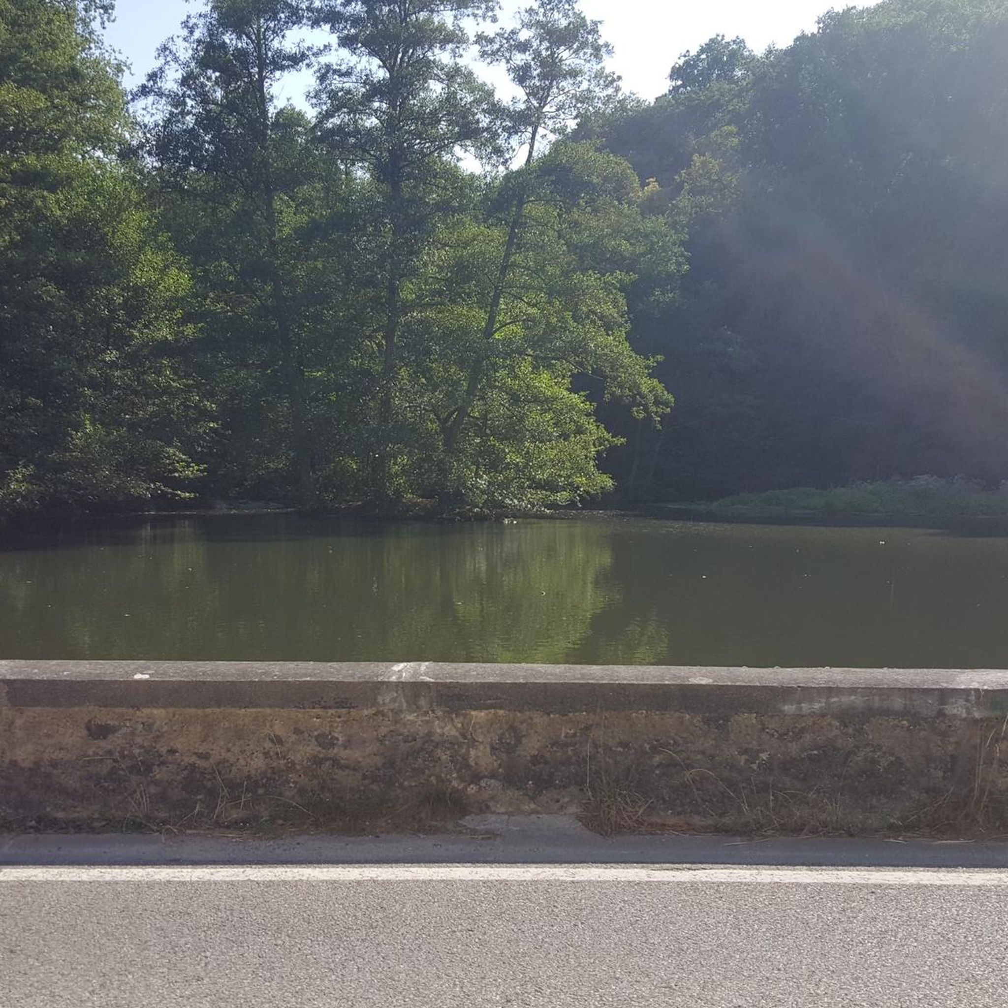
The Lake Ranch Reservoir is nice and peaceful to run, walk, hike, or bike along. There is a picnic table on the north side of the pond that you could rest at. Since the water is in a small valley, you may want to bring bug spray in the spring/summer months.
0
0

An excellent spot to take a break and enjoy the full breath of Lexington Reservoir. There is a Plaque dedicated to deputy Douglas B. Miller, who was fatally wounded while performing his duties.
0
0


The Kennedy Road Sierra Azul Trailhead has a small parking area that fits about three cars, depending on size, and offers a shaded starting point. A portable toilet is available at the trailhead, and additional parking can be found at the top of Top of the Hill Road.
1
0
The Lake Ranch Reservoir is nice and peaceful to run, walk, hike, or bike along. There is a picnic table on the north side of the pond that you could rest at. Since the water is in a small valley, you may want to bring bug spray in the spring/summer months.
0
0
Frequently Asked Questions
How many no-traffic touring cycling routes are available in Sierra Azul Open Space Preserve?
There are over 50 dedicated no-traffic touring cycling routes in Sierra Azul Open Space Preserve. These routes offer a variety of experiences, from moderate to difficult, ensuring options for different fitness levels.
What kind of terrain can I expect on no-traffic touring cycling routes in Sierra Azul Open Space Preserve?
The preserve offers diverse terrain. While some multi-use trails are primarily dirt roads, many routes, especially towards Mount Umunhum, feature well-paved surfaces ideal for touring bikes. You'll encounter gradual climbs, steep sections, and varied landscapes including oak woodlands, chaparral, and serpentine grasslands.
Are there any loop routes for touring cyclists in Sierra Azul Open Space Preserve?
Yes, several excellent loop routes are available. For example, the Bike loop from Heintz Open Space offers a challenging 12.6 km ride with significant elevation gain. Another popular option is the Old Santa Cruz Highway loop from Lexington Reservoir County Park, a moderate 22.4 km route.
What are the best times of year to go touring cycling in Sierra Azul Open Space Preserve?
Spring and fall generally offer the most pleasant conditions for touring cycling, with mild temperatures and vibrant scenery. While winter can be an option, be prepared for cooler temperatures and potentially wet conditions. Summers can be hot, especially on exposed sections, so early morning rides are recommended.
Are dogs allowed on the no-traffic touring cycling routes?
Rules regarding dogs can vary by specific trail within the preserve. It's always best to check the Midpeninsula Regional Open Space District's official website or signage at trailheads for the most current regulations on dog access, leash requirements, and permitted areas.
Are there any family-friendly no-traffic touring cycling routes?
While many routes involve significant climbs and are rated moderate to difficult, some sections or shorter loops might be suitable for families with older, experienced children. Look for routes described as having more gradual inclines and well-maintained surfaces. Always check the route details for elevation gain and distance to ensure it matches your family's ability.
What interesting sights can I see along the no-traffic touring cycling routes?
You'll find stunning panoramic views of the Santa Clara Valley, Lexington Reservoir, and the Bay Area from various points, especially from peaks like Mount Umunhum. Notable attractions include the historic former Almaden Air Force Station and its iconic radar tower on Mount Umunhum. You can also explore highlights like the Mount Umunhum Road (climb) itself, or the Sierra Azul Open Space for its natural beauty.
Is public transportation available to access the touring cycling routes?
Sierra Azul Open Space Preserve is primarily accessed by car, given its location in the Santa Cruz Mountains. While it's close to urban areas, direct public transportation to many trailheads is limited. Cyclists often use the Los Gatos Creek Trail as a connector from Los Gatos town to Lexington Reservoir, which can be reached by public transport in some areas.
Where can I park my car when visiting the touring cycling trails?
Designated parking areas are available at various trailheads and access points around the preserve, such as near Lexington Reservoir County Park or Heintz Open Space. Always check specific trailhead information for parking availability and any potential fees or restrictions.
Are permits required for touring cycling in Sierra Azul Open Space Preserve?
Generally, no special permits are required for touring cycling on the multi-use trails within Sierra Azul Open Space Preserve. However, it's always advisable to check the Midpeninsula Regional Open Space District's official website for any specific regulations or temporary closures that might be in effect.
What do other touring cyclists enjoy most about the routes in Sierra Azul Open Space Preserve?
The area is highly rated by the komoot community, with an average score of 4.67 stars. Reviewers often praise the challenging climbs, the spectacular panoramic views from peaks like Mount Umunhum, and the feeling of being immersed in nature despite being close to urban areas. The variety of terrain and the well-maintained paved sections are also frequently highlighted.
Are there any routes that offer a significant challenge for advanced touring cyclists?
Absolutely. Routes like the Lake Ranch Reservoir – Lake Ranch Reservoir loop from Lexington Reservoir County Park, spanning 32.1 km with over 900 meters of elevation gain, are rated as difficult and provide a substantial workout. The climb up Mount Umunhum Road is also a well-known challenge for its sustained ascent and rewarding views.
Most popular routes in Sierra Azul Open Space Preserve
Most popular attractions in Sierra Azul Open Space Preserve

Get inspired with the komoot mobile app


Explore more
Browse the best Cycling routes in other regions.
