The best traffic-free bike rides in Santa Teresa County Park
4.5
(77)
1,770
riders
19
rides
Road cycling in Santa Teresa County Park offers diverse terrain characterized by rolling hills, open grasslands, and oak woodlands. The park features prominent ridges and smaller hills, with elevations ranging from 200 feet to 1155 feet at Coyote Peak. These natural features provide a scenic backdrop for no traffic road cycling routes, with many paths offering panoramic views of the Santa Clara and Almaden Valleys.
Best no traffic road cycling routes in Santa Teresa County Park
- The most popular no traffic road cycling route is Coyote Ranch – Coyote Creek Trail loop from Martin Murphy Middle School, an easy 11.5 miles (18.6 km) trail that takes about 56 minutes to complete, offering a gentle ride along the Coyote Creek.
- Another top favourite among local road cyclists is Almaden Lake loop from Cottle, an easy 17.7 miles (28.5 km) path. This route provides scenic views around Almaden Lake with minimal elevation gain.
- Local road cyclists also love the Santa Teresa County Park loop from Almaden Quicksilver County Park, a 15.8 miles (25.4 km) trail leading through varied park landscapes, often completed in about 1 hour 18 minutes.
- Road cycling in Santa Teresa County Park is defined by rolling hills, oak woodlands, and expansive valley views, including vistas of Coyote Peak. The network offers options for different ability levels, from easy lakeside loops to moderate climbs.
- The routes in Santa Teresa County Park are highly rated by the komoot community with an average score of 4.3 stars from over 70 reviews. More than 1,900 road cyclists have used komoot to explore Santa Teresa County Park's varied terrain.
Last updated: November 10, 2026
12
riders
Easy road ride. Mostly well-paved surfaces and easy to ride.
28
riders
42.9km
01:57
160m
160m
Easy road ride. Mostly well-paved surfaces and easy to ride.

4.5
(2)
14
riders
28.1km
01:14
100m
100m
Easy road ride. Mostly well-paved surfaces and easy to ride.
27
riders
Moderate road ride. Some segments of this route may be unpaved and difficult to ride.
4.0
(1)
39
riders
28.4km
02:03
980m
980m
Hard road ride. Very good fitness required. Some segments of this route may be unpaved and difficult to ride.
Get access to more routes and recommendations from other explorers.
Already have an account?
Our route recommendations are based on thousands of hikes, rides, and runs completed by other people on komoot.
Start today with a free account
Your next adventure awaits.
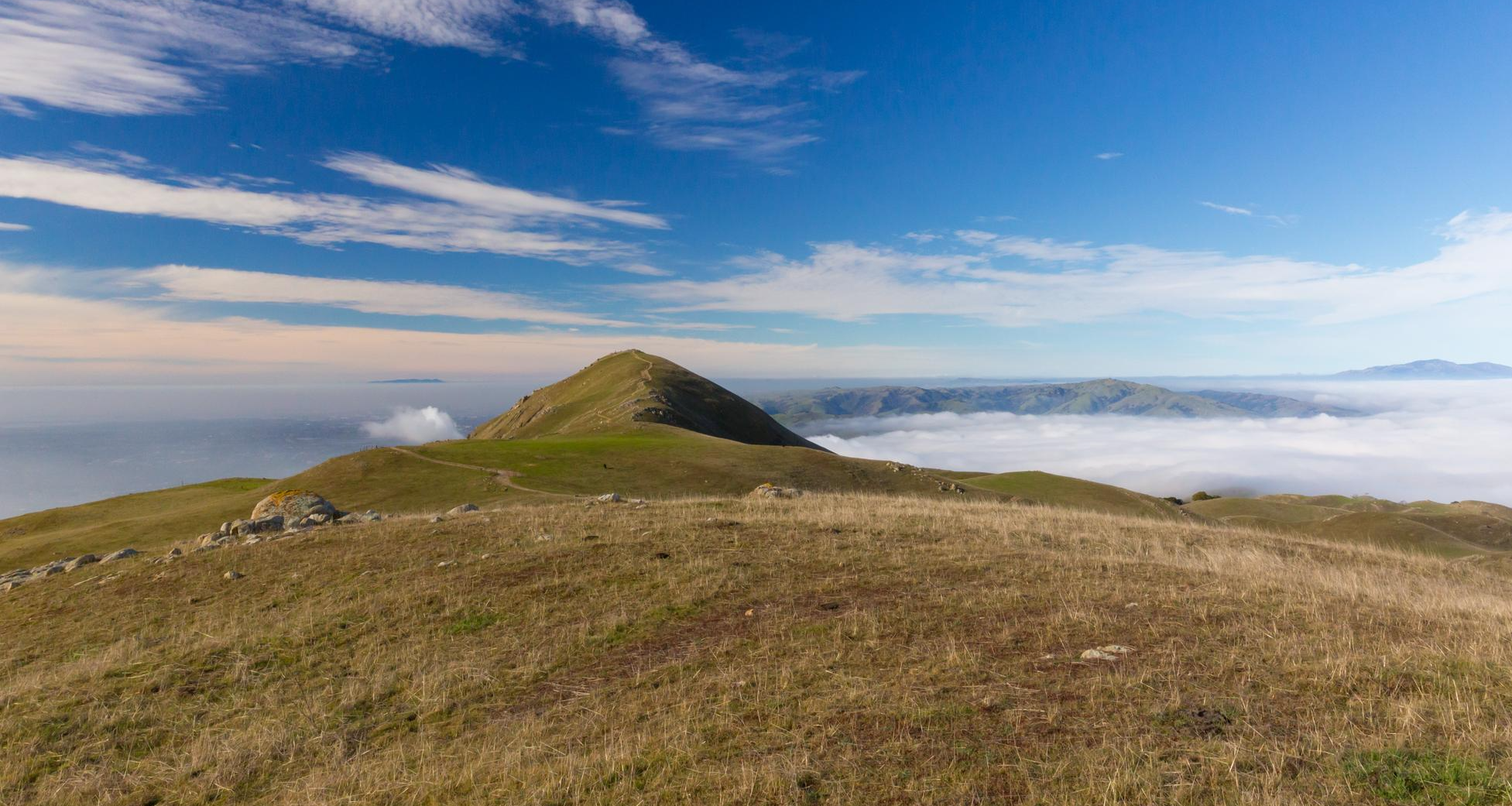
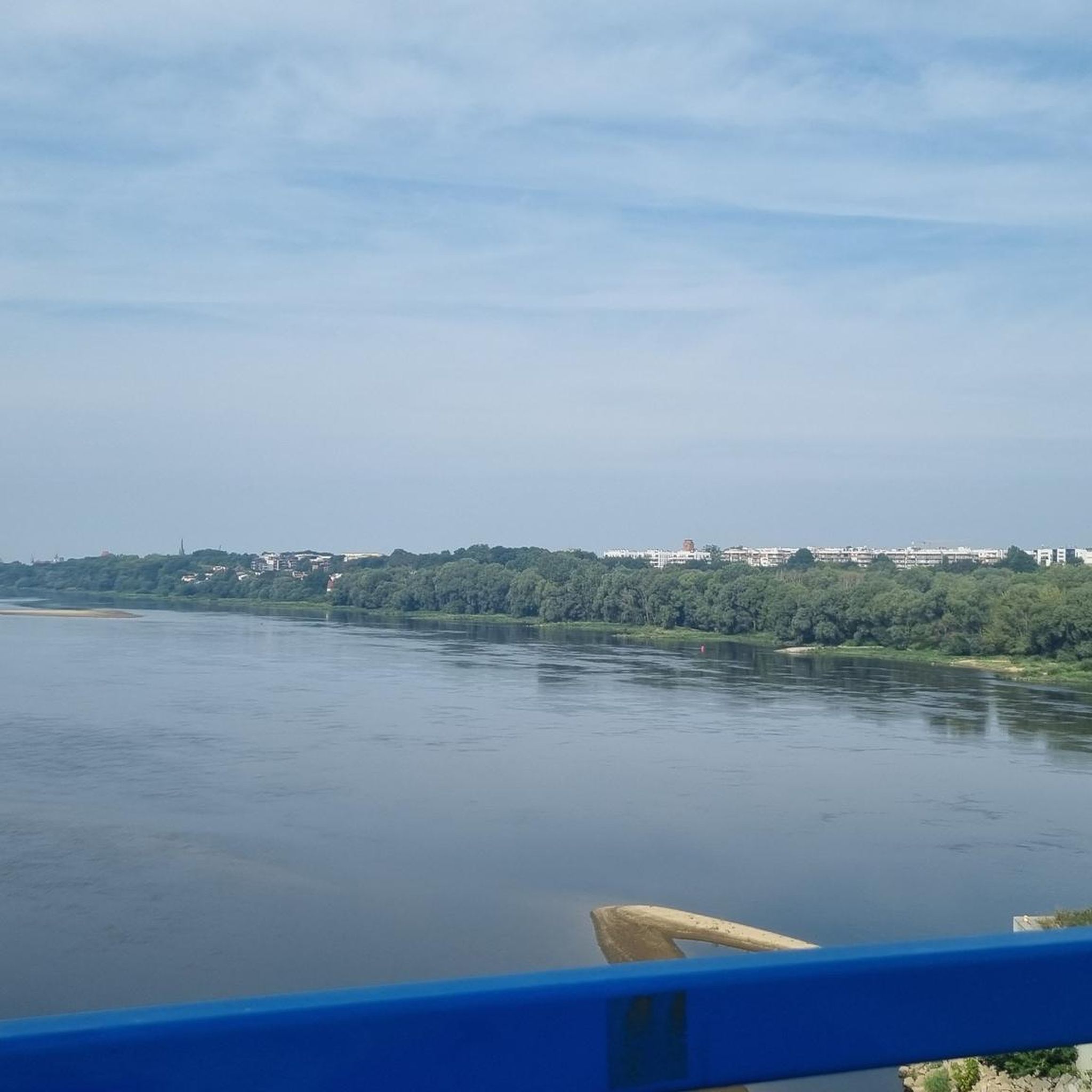
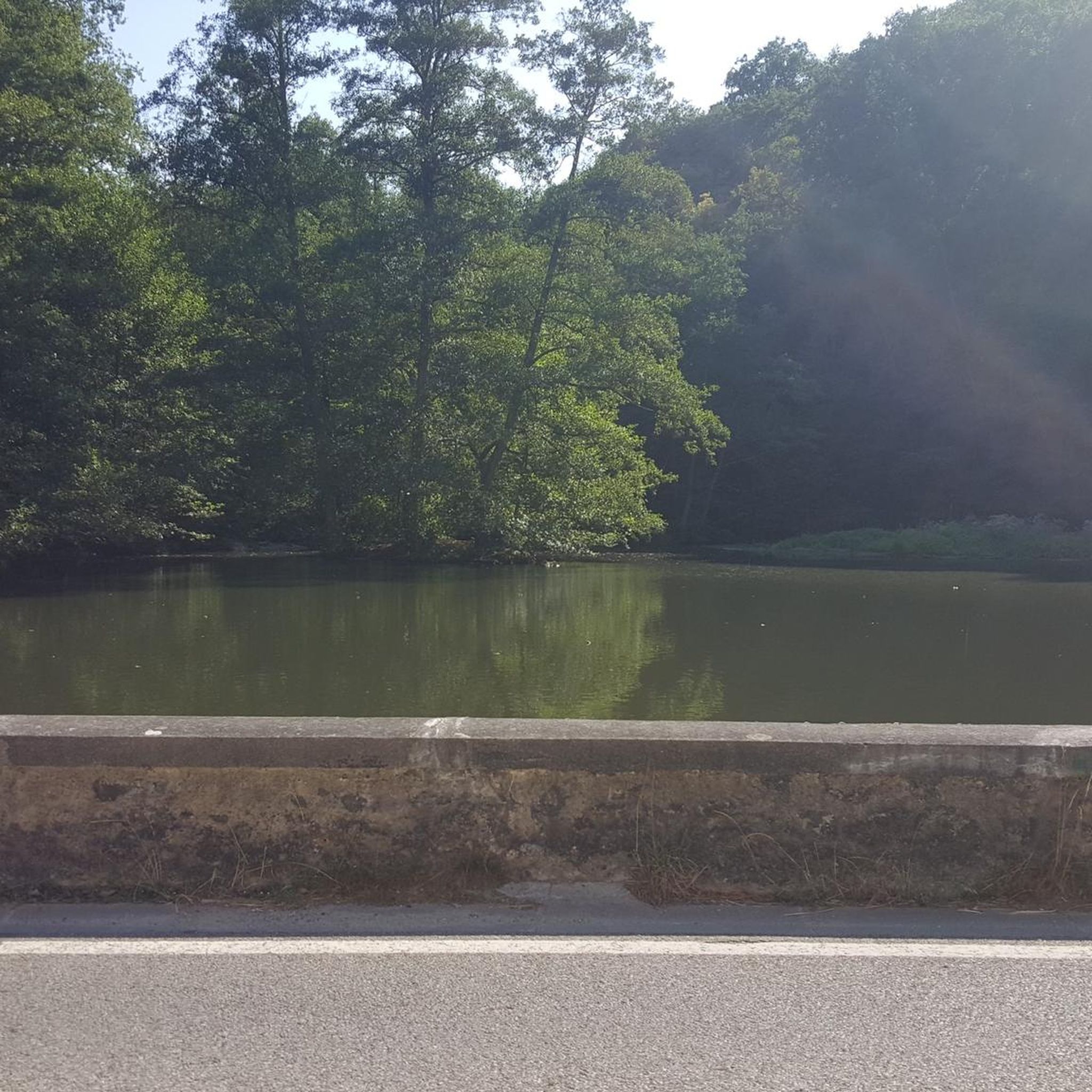
Other adventures in Santa Teresa County Park

Tips from the Community

This is a tough climb. It gains 2200 in 5 miles of which 1.1 miles are flat or downhills! There are 3-4 short segments with 15% gradient. The road is exposed so riding when temperature is below 75 is recommended. On summer weekends expect caravans of motorcycles with their fumes and noise. It is a super special experience. Be patient on climb and cautious on the descent. There are restroom facilities but no potable water. This climb is addictive! You will be back! There are locals who climb this road 100+ times annually!
0
0

If you make the summit a fantastic view awaits. Be aware the road goes down then up to the road about then up again to the summit!…
0
0
Blueberry 🫐 muffins are delicious, have them warmed…👍🏾
0
0

Climbing Mount Umunhum is a tough but rewarding challenge. The road is steep, with sections reaching up to 18% grades, so pace yourself. The views from the top are spectacular, making the hard work worth it. Start early to avoid traffic and the heat, and be prepared for a long, demanding ascent.
1
0

Almaden Lake is located in San Jose, California, and is a part of the popular Almaden Lake Park, a 65-acre park. The park features ample parking, restrooms, and playgrounds, and well-maintained walking and biking trails that wind around the lake, providing scenic views and access to picnic areas and open green spaces. The trails also connect to the broader Los Alamitos Creek Trail and Guadalupe River Trail. While the lake itself is no longer open for swimming or boating due to mercury contamination, visitors can enjoy fishing in designated areas, with species like bass and catfish commonly caught. Wildlife enthusiasts often spot various bird species, including ducks, herons, and egrets.
0
0

At the summit of Mt Umunhum is an 8 story tower that was used as a radar outpost by the US Air Force until 1980. In addition to this piece of military history you'll also find stunning views in all directions. On clear days you can see as far as San Francisco and Monterey.
1
0

The Coyote Creek Trail passes through the heart of Coyote Ranch, which is lined with open pastures and hillsides. There are also a couple small reservoirs on the property that you get to walk by during your hike.
0
0

Los Alamitos Creek Trail is a nice paved multi-use path. This path has a few parks along the way that you could loop in for some off-road surfaces. There isn't very much shade and the path can get a little crowded, so getting out early can be in your best interest.
0
0
Frequently Asked Questions
How many no-traffic road cycling routes are available in Santa Teresa County Park?
There are over 15 dedicated no-traffic road cycling routes in Santa Teresa County Park, offering a variety of experiences for different skill levels.
What do other cyclists say about the no-traffic road cycling routes in Santa Teresa County Park?
The no-traffic road cycling routes in Santa Teresa County Park are highly rated by the komoot community, with an average score of 4.3 stars from over 70 reviews. Cyclists often praise the diverse terrain, rewarding views, and the peaceful, car-free environment.
Are there easy no-traffic road cycling routes suitable for beginners in Santa Teresa County Park?
Yes, Santa Teresa County Park offers several easy no-traffic road cycling routes perfect for beginners. For example, the Coyote Ranch – Coyote Creek Trail loop from Martin Murphy Middle School is a great option, covering just over 18 km with minimal elevation gain. Another accessible choice is the Almaden Lake loop from Cottle, which is nearly 28.5 km long and also features gentle inclines.
What kind of terrain can I expect on the no-traffic road cycling routes in Santa Teresa County Park?
The park features diverse terrain, including rolling hills, open grasslands, and oak woodlands. While some trails can be steep and unpaved, the no-traffic road cycling routes are generally well-paved, offering a smooth ride through varied scenery. You'll encounter both gentle sections and some rewarding climbs.
Are there challenging no-traffic road cycling routes for experienced cyclists?
Yes, for more experienced cyclists seeking a challenge, there are routes with greater elevation gain. The park's terrain includes prominent ridges and hills, with the summit of Coyote Peak reaching 1155 feet. While specific no-traffic routes might not reach the very top, many offer significant climbs within the park's diverse landscape. For a moderate challenge, consider the Santa Teresa County Park loop from Almaden Quicksilver County Park, which includes over 200 meters of elevation gain.
What are the best viewpoints along the no-traffic road cycling routes?
Many routes offer impressive views of the surrounding area. The climb towards Coyote Peak provides panoramic 360-degree vistas of the Santa Clara Valley, Almaden Valley, and even the Diablo Range. Throughout the park, you'll also be treated to scenic views of the Almaden, Santa Clara, and Coyote Valleys, as well as Calero Reservoir.
Are there any historical or natural landmarks to see while cycling?
Yes, beyond the natural beauty, you can explore the historic Bernal-Gulnac-Joice Ranch, offering a glimpse into California's past. The park also features various trails that are highlights in themselves, such as Pueblo Trail, Rocky Ridge Trail, and Mine Trail loop, which offer unique natural and historical insights.
When is the best time of year to enjoy no-traffic road cycling in Santa Teresa County Park?
Late winter and spring are ideal seasons for no-traffic road cycling in Santa Teresa County Park. The comfortable weather and spectacular wildflower displays, especially along trails like Stile Ranch, enhance the aesthetic appeal of your ride. Due to the park's exposure and little shade, these seasons offer the most pleasant conditions.
Is parking available for cyclists at Santa Teresa County Park?
Yes, the Pueblo Day Use Area within Santa Teresa County Park provides convenient parking facilities, making it an excellent starting point for your no-traffic road cycling adventures. It also offers restrooms and reservable group picnic areas.
Are there any circular no-traffic road cycling routes in Santa Teresa County Park?
Many of the no-traffic road cycling routes in Santa Teresa County Park are designed as loops, allowing you to start and end at the same point without retracing your steps. Examples include the Coyote Ranch – Coyote Creek Trail loop and the Santa Teresa County Park loop, providing varied scenery throughout your ride.
Can I connect to other parks or trails from Santa Teresa County Park?
Yes, Santa Teresa County Park serves as a great starting point for longer cycling adventures. You can find routes that connect to other regional attractions, such as Hellyer Velodrome at Hellyer County Park, or explore routes extending towards Calero County Park and Uvas Canyon County Park, expanding your no-traffic cycling options.
Most popular routes in Santa Teresa County Park
Most popular attractions in Santa Teresa County Park

Get inspired with the komoot mobile app


Explore more
Browse the best Road cycling routes in other regions.
