The best traffic-free bike rides in Foothills Open Space Preserve
4.9
(16)
131
riders
5
rides
Gravel biking in Foothills Open Space Preserve's vicinity offers diverse terrain across rolling hills, open spaces, and natural lake and creek features. While Foothills Open Space Preserve itself does not permit bicycles on its trails, the broader area, including adjacent preserves like Enid Pearson-Arastradero Preserve, provides suitable conditions for gravel biking. The landscape transitions from paved surfaces to packed dirt and gravel trails, featuring oak woodlands, chaparral, and grasslands.
Best no traffic gravel bike trails in Foothills Open Space Preserve
…Last updated: October 13, 2026
5.0
(1)
4
riders
Moderate gravel ride. Good fitness required. Mostly paved surfaces. Suitable for all skill levels.
4
riders
6.49km
00:32
140m
140m
Easy gravel ride. Great for any fitness level. Mostly paved surfaces. Suitable for all skill levels.

5
riders
Moderate gravel ride. Good fitness required. Mostly paved surfaces. Suitable for all skill levels.
6
riders
34.5km
02:29
850m
850m
Hard gravel ride. Very good fitness required. Mostly paved surfaces. Suitable for all skill levels.
5.0
(5)
37
riders
Moderate gravel ride. Good fitness required. Mostly paved surfaces. Suitable for all skill levels.
Our route recommendations are based on thousands of hikes, rides, and runs completed by other people on komoot.
Start today with a free account
Your next adventure awaits.
Popular around Foothills Open Space Preserve

Tips from the Community


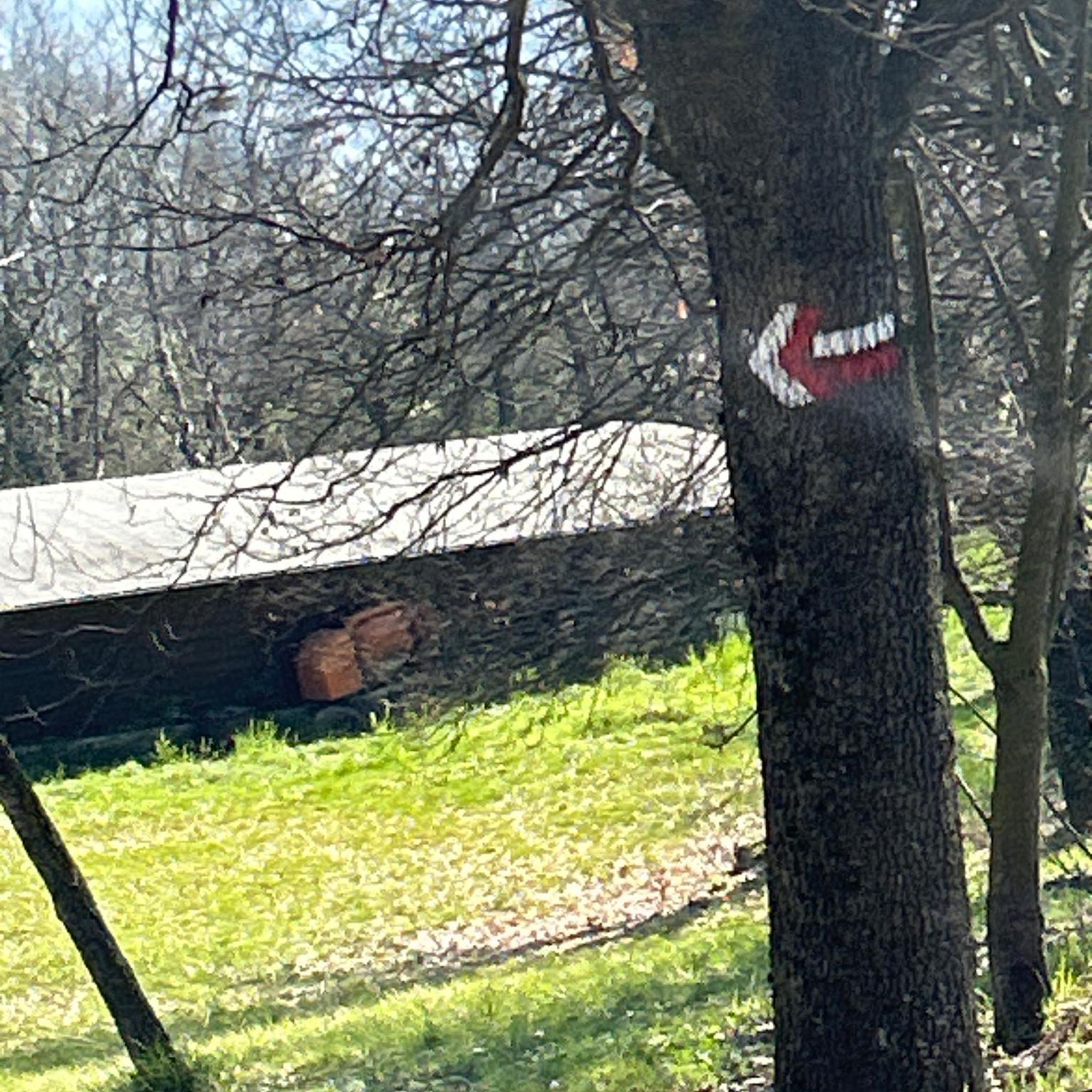
Just right off the picnic bench area lies a viewpoint of the Pearson-Arastradero Preserve. An open meadow offers views of the preserve and surrounding mountains. It's a nice shaded area for a break!
0
0
Here, the Steve's Creek Nature Trail and the Canyon Trail intersect. A lovely patch of grass surrounds the junction, making it an ideal spot for a break.
0
0

The San Francisco Bay Trail is a flat, paved trail that runs along the border of the bay. It is a great place for a run because it is traffic free and has great views.
0
0

Moody Road is a short route for cyclists connected to nearby trails or longer climbs like Page Mill Road. It offers a mix of rolling hills and quiet, scenic vibes. The last km is though, but in the end it is always worth it.
1
0
Page Mill Road is a classic route for cyclists looking for a challenge, with its steep climbs, sharp switchbacks, and stunning views of Silicon Valley. Starting near Palo Alto and climbing into the Santa Cruz Mountains, the ride tests your legs but rewards you with breathtaking scenery. Be prepared for varying gradients, especially in the lower sections, and pack plenty of water—the climb can be intense, especially on warmer days.
0
0

Black Mountain, situated on Monte Bello Ridge, is a popular destination for hikers and mountain bikers. With an elevation of 2,812 feet, it's easy to understand why. From the summit, the views of the Santa Cruz Mountains and Silicon Valley are breathtaking.
0
0
This fantastic tavern, founded in 1852, is the second oldest in the state. It features a large, beer garden-style outdoor area with plenty of shade. An extensive beer and food menu makes it a perfect stop to enjoy a brew and some great food after a ride.
0
0
Frequently Asked Questions
Are bicycles allowed on trails within Foothills Open Space Preserve itself?
No, bicycles are explicitly not permitted on the trails within Foothills Open Space Preserve. This guide focuses on traffic-free gravel biking routes in the broader Foothills area and adjacent preserves where cycling is allowed, offering similar scenic experiences.
Where can I find traffic-free gravel bike trails near Foothills Open Space Preserve?
While Foothills Open Space Preserve itself doesn't allow bikes, excellent traffic-free gravel biking opportunities exist in nearby areas. For example, Arastradero Lake loop from Enid Pearson-Arastradero Preserve offers trails suitable for gravel bikes, transitioning from pavement to packed dirt and gravel. Another option is the White Oak Trail – Bella Vista Trail loop from Los Trancos Open Space Preserve.
What kind of terrain can I expect on these gravel bike trails?
The terrain in the broader Foothills area varies, offering a mix of experiences. You'll find rolling grasslands, oak woodlands, and chaparral. Trails often transition from paved surfaces to packed dirt and gravel, making them ideal for bikes with wider tires. Some routes, like those in Enid Pearson-Arastradero Preserve, feature gentle climbs and descents, while others, such as the Arastradero Lake – Bowl Loop Jumps loop from Los Altos, include more varied elevation changes.
Are there any easy gravel bike routes suitable for beginners or families?
Yes, there are easy options perfect for beginners or families looking for a relaxed ride. The Arastradero Lake loop from Enid Pearson-Arastradero Preserve is rated as easy and provides a pleasant experience through varied landscapes. The San Francisco Bay Trail – San Francisco Bay Trail loop from California Avenue is another easy route, offering mostly flat terrain along the bay.
What are the best times of year to go gravel biking in this region?
The region is generally pleasant for gravel biking for much of the year. Spring (March-May) is particularly beautiful, with wildflowers blooming, especially around areas like Borel Hill. Fall (September-November) also offers comfortable temperatures and clear skies. Summers can be warm, so early mornings or late afternoons are preferable, while winters are typically mild but can bring rain, making some gravel sections muddy.
Can I find loop routes for gravel biking in the Foothills area?
Yes, several routes in the area are designed as loops, allowing you to start and end at the same point. Examples include the White Oak Trail – Bella Vista Trail loop from Los Trancos Open Space Preserve and the Arastradero Lake loop from Enid Pearson-Arastradero Preserve. These loops provide a convenient way to explore the diverse landscapes without retracing your steps.
What kind of views or natural features can I expect to see?
The broader Foothills area offers diverse natural beauty. You can expect scenic views of rolling hills, open grasslands, and oak woodlands. Preserves like Enid Pearson-Arastradero feature Arastradero Lake, providing pleasant resting spots. From higher points, such as Borel Hill, you might even catch glimpses of the Pacific Ocean and the San Francisco Bay. Wildlife like deer, coyotes, and bobcats are also frequently spotted.
Are there any longer or more challenging gravel bike routes available?
For those seeking a longer or more challenging ride, routes like the Arastradero Lake – Bowl Loop Jumps loop from Los Altos offer a moderate difficulty level with a distance of over 26 km. The San Francisco Bay Trail – Stevens Creek bridge loop from California Avenue is another moderate option, covering nearly 33 km, providing a good workout with varied scenery.
What do other gravel bikers enjoy most about the routes in this area?
The routes in this area are highly rated by the komoot community, with an average score of 4.9 out of 5 stars. Reviewers often praise the quiet, traffic-free nature of the trails, the beautiful natural scenery, and the variety of terrain that makes for engaging gravel rides. The accessibility to natural spaces close to urban areas is also frequently highlighted.
Are there specific parking areas for accessing these gravel bike trails?
Yes, parking is generally available at the trailheads of the various preserves that host these gravel biking routes. For instance, Enid Pearson-Arastradero Preserve and Los Trancos Open Space Preserve typically have designated parking lots. It's always a good idea to check the specific preserve's website or the komoot tour details for precise parking information before your visit.
Are permits required for gravel biking on these trails?
Generally, permits are not required for day-use gravel biking on the public trails within preserves like Enid Pearson-Arastradero Preserve or Los Trancos Open Space Preserve. However, regulations can change, so it's always advisable to check the official websites of the specific open space districts (e.g., Midpeninsula Regional Open Space District or City of Palo Alto) for the most current information regarding access and any potential fees or restrictions.
Most popular routes in Foothills Open Space Preserve

Get inspired with the komoot mobile app


Explore more
Browse the best Gravel rides in other regions.
