The best city hikes and walks in White Tank Mountain Regional Park
4.4
(37)
738
hikers
10
hikes
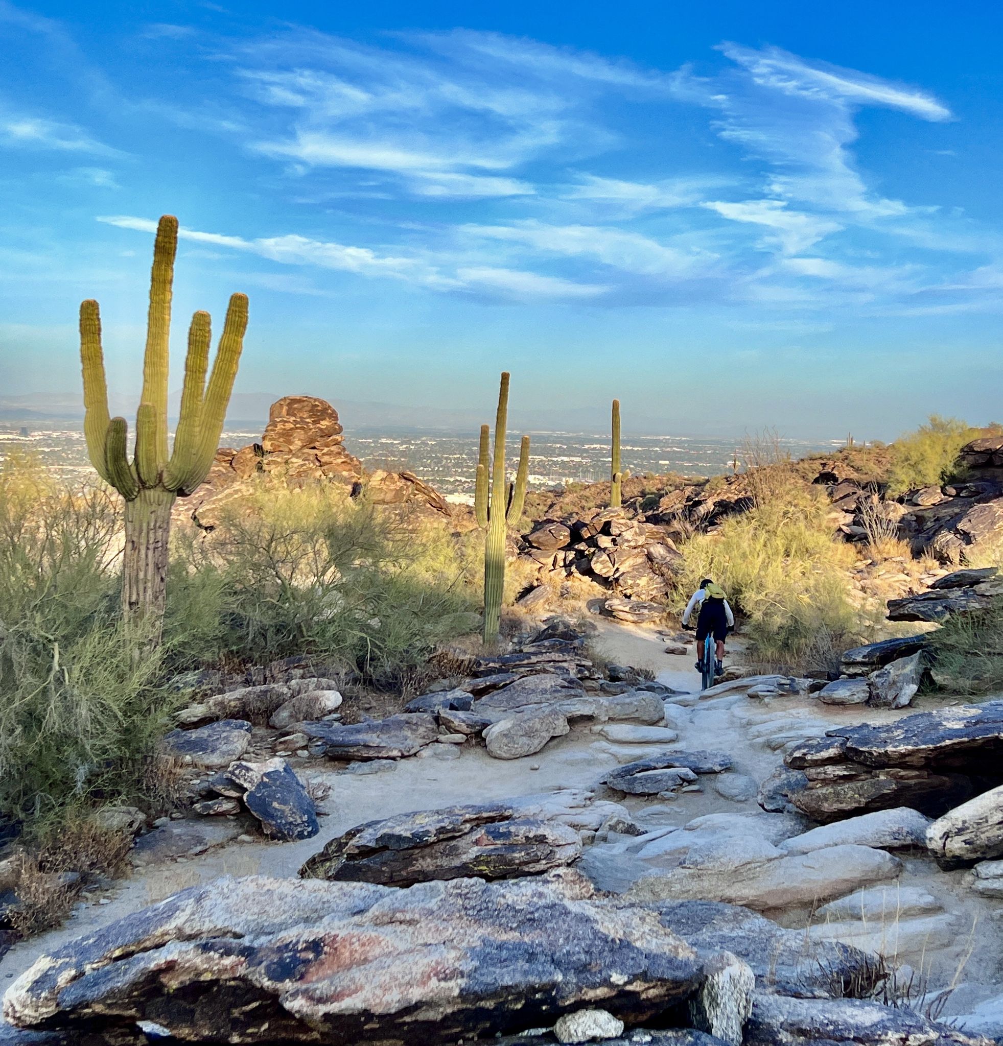
Urban hiking trails in White Tank Mountain Regional Park traverse a landscape characterized by desert and mountain terrain, featuring rugged mountains and canyons. The park is known for its unique geological formations, including basins scoured from white granite. This environment supports diverse desert vegetation, such as saguaro cacti, and provides habitat for various wildlife. The area offers a network of trails suitable for exploring the natural features of the Sonoran Desert.
Best urban hiking trails in White Tank Mountain Regional…
Last updated: November 10, 2026
2
hikers
623m
00:12
30m
30m
1.04km
00:22
100m
0m

9
hikers
2.41km
00:48
120m
120m
Easy hike. Easily walkable paths.
5
hikers
Easy hike. Easily walkable paths.
5.44km
01:24
30m
30m
Get access to more routes and recommendations from other explorers.
Already have an account?
Our route recommendations are based on thousands of hikes, rides, and runs completed by other people on komoot.
Start today with a free account
Your next adventure awaits.
Popular around White Tank Mountain Regional Park
Other adventures in White Tank Mountain Regional Park

Tips from the Community


There are over 300 steps climbing up almost 200 feet in elevation. This is a tough hike up, but if you can keep your rhythm, you can see how many steps you can run before having to stop. The trails down the back side are much more runnable. The loop is only about a mile total, but the stairs alone are a workout.
1
0
Because the trails on Verrado Mountain are not covered in trees or tall rocks, there are normally wide open views all along the trails. This trail junction includes an overlook of the mountains west of Phoenix.
1
0
There are a handful of different parking areas near the trails accessing the Victory Stairs. This parking lot is probably the best one for doing one of the loop hikes since it connects both sides of the mountain to each other.
1
0

Here stairs lead the way to a beautiful view. After that, hiking trails continue in different directions.
0
0
Parking lot is well suited to get to this little hike
0
1
Blue path for beginners and red for advanced with good shoes.
0
0
The way up (red) should be climbed with good shoes. Sometimes a bit sandy, which is why it is no longer suitable for absolute beginners. Otherwise take the blue path.
0
0
Frequently Asked Questions
How many urban hiking trails are available in White Tank Mountain Regional Park?
This guide features 4 dedicated urban hiking trails within White Tank Mountain Regional Park, offering a variety of experiences for different skill levels. You'll find 3 easy routes and 1 moderate option to explore.
Are there easy urban hikes suitable for beginners or families?
Yes, White Tank Mountain Regional Park offers several easy urban hikes perfect for beginners and families. For example, the Ebb & Flow Coffee loop from Verrado is a great option, providing a gentle introduction to the area's urban trails.
Can I bring my dog on the urban hiking trails?
Generally, dogs are welcome on trails in White Tank Mountain Regional Park, but they must be kept on a leash. Always check specific trail regulations before heading out, as some areas might have restrictions. It's also important to carry enough water for both yourself and your pet, especially during warmer months.
Are there any circular urban hiking routes?
Yes, several urban routes in this guide are circular, allowing you to start and end at the same point. The Ebb & Flow Coffee loop from Walton Park is a good example of a circular urban hike, offering a convenient and enjoyable experience.
What kind of wildlife might I encounter on these urban hikes?
Even on urban trails, you might spot diverse desert wildlife. Keep an eye out for mule deer, coyotes, and javelinas. Birdwatchers can enjoy sightings of roadrunners and cactus wrens. Remember to observe wildlife from a distance and never feed animals.
What are some interesting places to explore near the urban trails?
While these routes focus on urban hiking, the broader White Tank Mountain Regional Park offers many natural attractions. You can explore highlights like the Mesquite Canyon Trail or the Goat Camp Trail for more rugged experiences. The park also features ancient petroglyphs and a seasonal waterfall after heavy rains.
When is the best time of year for urban hiking in White Tank Mountain Regional Park?
The cooler months, from late fall through spring (October to April), are ideal for urban hiking in White Tank Mountain Regional Park. Temperatures are more pleasant, making for a comfortable experience. Spring also brings vibrant wildflowers to the desert landscape.
Are there cafes or places to get refreshments near the urban trails?
The routes in this guide, such as the Ebb & Flow Coffee loop from Vickery Park, are designed to pass by or near local amenities. The 'Ebb & Flow Coffee' routes specifically suggest proximity to coffee shops, making it easy to grab a refreshment before or after your hike.
What are the parking options for these urban hikes?
Parking for these urban hikes is generally available near the trailheads, often in designated community parking areas or parks like Verrado, Walton Park, or Vickery Park, depending on your chosen route. Always check local signage for any parking restrictions or fees.
What do other hikers enjoy most about urban hiking in White Tank Mountain Regional Park?
The urban hiking trails in White Tank Mountain Regional Park are highly rated by the komoot community, with an average score of 4.59 stars. Reviewers often praise the accessibility of these routes, their integration with local amenities, and the opportunity to experience the desert environment within a community setting.
How long do these urban hikes typically take?
The urban hikes in this guide vary in length and duration. For instance, the Maricopa Trail: Verrado route is about 5.4 kilometers (3.4 miles) and can take around 1 hour and 20 minutes to complete, depending on your pace. Other routes range from shorter loops to slightly longer options.
Most popular routes in White Tank Mountain Regional Park
Most popular attractions in White Tank Mountain Regional Park

Get inspired with the komoot mobile app


Explore more
Browse the best Hikes in other regions.
