Boston Harbor Islands National Recreation Area
Boston Harbor Islands National Recreation Area
The best traffic-free bike rides in Boston Harbor Islands National Recreation Area
4.6
(270)
4,085
riders
28
rides
No traffic touring cycling routes in Boston Harbor Islands National Recreation Area traverse a unique landscape shaped by glacial activity, featuring partially flooded drumlin fields that emerge as islands. The region offers a diverse array of habitats, including rocky shores, sandy beaches, salt marshes, and coastal bluffs. While direct cycling on all islands may be limited, mainland parks and ferry access provide opportunities to explore paved paths and scenic routes. The terrain generally includes gentle hills and varied coastal ecosystems,…
Last updated: May 13, 2026
5.0
(1)
17
riders
31.3km
02:14
190m
190m
Hard bike ride. Good fitness required. You may need to push your bike for some segments of this route.
3.0
(1)
25
riders
Easy bike ride. Great for any fitness level. Mostly paved surfaces. Suitable for all skill levels.

Sign up for free
10
riders
18.9km
01:32
140m
140m
Easy bike ride. Great for any fitness level. Mostly paved surfaces. Suitable for all skill levels.
7
riders
38.7km
02:55
300m
300m
Moderate bike ride. Good fitness required. Mostly paved surfaces. Suitable for all skill levels.
6
riders
22.9km
01:47
140m
140m
Easy bike ride. Great for any fitness level. Mostly paved surfaces. Suitable for all skill levels.
Get access to more routes and recommendations from other explorers.
Sign up for free
Already have an account?
Our route recommendations are based on thousands of hikes, rides, and runs completed by other people on komoot.
Start today with a free account
Your next adventure awaits.
Login or Signup
Popular around Boston Harbor Islands National Recreation Area
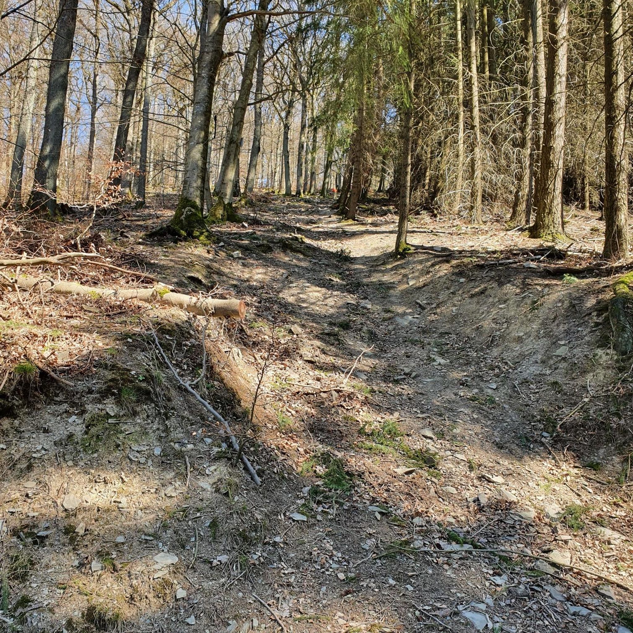

Tips from the Community

At 136 acres, Aaron River Reservoir is the centerpiece of Wompatuck State Park. It's popular for boating and fishing, and there are multiple trails looping around the banks that are open to biking and foot-traffic. It's fed by the Aaron River and controlled by a small dam at the southern end.
0
0
At 136 acres, Aaron River Reservoir is the centerpiece of Wompatuck State Park. It's popular for boating and fishing, and there are multiple trails looping around the banks that are open to biking and foot-traffic. It's fed by the Aaron River and controlled by a small dam at the southern end.
0
0

"S18-S19" Trail is a pretty easy singletrack: The perfect trail for a ride with the whole family.
0
0
Holly Pond is a tiny reservoir just off the side of the main trail. It's fed by the Aaron River and is surrounded by wetlands.
0
0

Discover the perfect way to enter Wompatuck State Forest with this exceptional route. With no vehicle access, this scenic path is a runner's paradise, free from the noise and danger of cars. It also happens to be the ideal starting point to reach the stunning Aaron River Reservoir.
0
0
Whitney & Thayer Woods is a stunning woodland area that spans over 824 acres and boasts 10 miles (16.09 km) of trails, providing ample options for runners to explore this beautiful forest setting. This area is home to a variety of glacial age remnants, vernal pools, and holly groves, making it an ideal spot for nature lovers. It is adjacent to Weir River Farm, Turkey Hill Park, Brass Kettle Conservation Area, and Wompatuck State Park, forming an extensive greenbelt in Hingham.
0
0
Holly Pond is a tiny reservoir just off the side of the main trail. It's fed by the Aaron River and is surrounded by wetlands.
0
0

A woodland area with 834 acres of extension, Whitney & Thayer Woods has 10 miles of hiking trails, where you can find glacial age remnants, vernal pools, and holly groves. The area is connected with Weir River Farm, Turkey Hill Park, Brass Kettle Conservation Area, and Wompatuck State Park, forming a large greenbelt in Hingham.
0
0
Frequently Asked Questions
How many no-traffic touring cycling routes are available in the Boston Harbor Islands National Recreation Area?
There are over 30 dedicated no-traffic touring cycling routes within the Boston Harbor Islands National Recreation Area and its surrounding mainland parks. These routes offer a variety of distances and difficulty levels, ensuring options for different cycling preferences.
What is the best time of year for touring cycling in the Boston Harbor Islands National Recreation Area?
The best time for touring cycling is generally from late spring through early autumn (May to October). During these months, the weather is typically mild, ferry services to the islands are more frequent, and all facilities are usually open. While some mainland parks are accessible year-round, island access and services may be limited in colder months.
Are there any easy no-traffic touring cycling routes suitable for beginners or families?
Yes, the area offers many easy routes. For example, the Neponset River Reservation – Harvest River Bridge loop from Dorchester Shores Reservation is an easy option, covering just over 10 km with minimal elevation gain. Many of the 29 easy routes are well-suited for a relaxed pace and family outings.
Can I find routes with scenic viewpoints or natural features?
Absolutely. The Boston Harbor Islands National Recreation Area is rich in natural beauty and offers stunning vistas. You can find routes that pass by viewpoints such as the Deer Island southernmost tip or the View of Hingham Harbor from Worlds End Reservation. The region's unique drumlin geology and diverse coastal ecosystems provide a picturesque backdrop for your ride.
Are there any historical landmarks or points of interest along these cycling routes?
Yes, the area is steeped in history. While cycling, you might encounter significant sites like the Judge A. David Mezzone Memorial or the Irish Famine Memorial on Deer Island. The islands themselves host Civil War-era forts and historic lighthouses, which can be explored by combining cycling with ferry travel and walking.
What do other touring cyclists enjoy most about cycling in the Boston Harbor Islands National Recreation Area?
The area is highly rated by the komoot community, with an average score of 4.59 stars from over 260 reviews. Reviewers often praise the tranquility of the no-traffic paths, the stunning coastal views, and the unique blend of natural beauty and historical significance that makes each ride an enriching experience.
Are there any challenging no-traffic routes for experienced touring cyclists?
Yes, for more experienced cyclists seeking a challenge, there are a few difficult routes. The Wompatuck State Forest – Wompatuck State Park loop from West Hingham, for instance, is a difficult route spanning over 31 km with notable elevation changes, offering a more demanding ride through varied terrain.
Can I bring my dog on these no-traffic cycling routes?
Many mainland parks within the Boston Harbor Islands National Recreation Area, such as Worlds End and Webb Memorial State Park, are dog-friendly, often requiring dogs to be on a leash. However, regulations can vary by specific island or park, especially concerning ferry access and protected natural areas. It's always best to check the specific park or ferry operator's rules before planning your trip with a pet. For general information, you can check the National Park Service website.
What are the options for parking and public transport access to these routes?
Parking is available at many mainland access points to the recreation area, such as at Worlds End, Deer Island, and Nut Island. For island access, ferries depart from various Boston locations, and some allow bicycles onboard for a fee. Public transport, including MBTA buses and commuter rail, can connect you to mainland parks or ferry terminals. Always check specific schedules and bicycle policies for public transport and ferries in advance.
Are there any circular no-traffic touring cycling routes?
Yes, many of the no-traffic touring cycling routes in the area are designed as loops, allowing you to start and end at the same point without retracing your path. For example, the Wompatuck State Park – Ouch loop from Hingham is an easy circular route, perfect for exploring without logistical concerns about return travel.
What kind of terrain can I expect on these no-traffic routes?
The no-traffic routes offer a mix of terrain. You can expect paved paths, gravel trails, and some sections through woodlands. Mainland parks like Wompatuck State Park feature extensive networks of trails, while areas like Deer Island offer paved loops with expansive coastal views. The unique drumlin landscape means some routes will have gentle rolling hills, providing varied cycling experiences.
Are there any less crowded no-traffic cycling options?
While popular areas can see more visitors, exploring routes in mainland parks like Wompatuck State Forest or venturing to less frequented sections of larger parks can offer a more secluded experience. Early mornings or weekdays are generally the best times to find quieter paths. The sheer number of routes available means you can often find a peaceful ride away from the main hubs.
Most popular routes in Boston Harbor Islands National Recreation Area
Most popular attractions in Boston Harbor Islands National Recreation Area

Get inspired with the komoot mobile app


Explore more
Browse the best Cycling routes in other regions.
