The best traffic-free bike rides in Riserva Naturale Valli Di Sant'Antonio
4.5
(26)
224
riders
14
rides
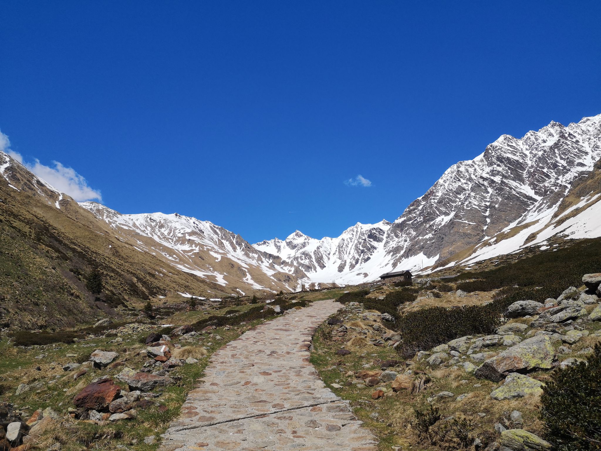
Gravel biking in Riserva Naturale Valli Di Sant'Antonio offers diverse landscapes within the Eastern Orobic Alps, characterized by varied forest ecosystems including spruce and larch. The region features abundant water elements such as torrents, small waterfalls, and emerald pools, particularly in the lower valleys. Higher elevations reveal alpine meadows and glacial lakes, providing a dynamic environment for cyclists. The terrain combines both asphalt and gravel surfaces, navigating through valleys and forests, with climbs leading towards alpine pastures.
Best no traffic gravel bike trails in Riserva Naturale Valli Di Sant'Antonio
- The most popular no traffic gravel bike trail is View over Aprica 🚵 – Chiesa di Trivigno loop from Aprica, a 19.96 miles (32.12 km) trail that takes 2 hours 43 minutes to complete. This difficult route traverses diverse forest ecosystems and offers views of alpine scenery.
- Another top favourite among local gravel bikers is View over Aprica 🚵 – Hotel Ristorante Le Betulle loop from Aprica, a difficult 12.05 miles (19.40 km) path. This route winds through valleys with abundant water elements and offers views of the surrounding mountains.
- Local gravel bikers also love the Tresenda Bridge – Valtellina Trail loop from Bianzone, a 22.54 miles (36.28 km) trail leading through enchanted forests and green meadows, often completed in about 2 hours 39 minutes.
- Gravel biking in Riserva Naturale Valli Di Sant'Antonio is defined by diverse forest ecosystems, abundant water elements, and impressive mountainous backdrops. The network offers options for both moderate and difficult skill levels.
- The routes in Riserva Naturale Valli Di Sant'Antonio are highly rated by the komoot community with an average score of 4.4 stars from over 7 reviews. More than 100 gravel bikers have used komoot to explore Riserva Naturale Valli Di Sant'Antonio's varied terrain.
Last updated: November 9, 2026
4.0
(1)
10
riders
33.6km
03:00
940m
940m
Hard gravel ride. Very good fitness required. Mostly paved surfaces.
5.0
(1)
8
riders
32.1km
02:44
1,060m
1,060m
Hard gravel ride. Very good fitness required. Mostly paved surfaces.

16
riders
42.0km
03:47
1,650m
1,660m
Hard gravel ride. Very good fitness required. Mostly paved surfaces.
3.7
(3)
14
riders
44.5km
03:03
740m
740m
Hard gravel ride. Very good fitness required. Mostly paved surfaces.
5.0
(1)
12
riders
67.3km
05:37
2,260m
2,260m
Hard gravel ride. Very good fitness required. Mostly paved surfaces.
Get access to more routes and recommendations from other explorers.
Already have an account?
Our route recommendations are based on thousands of hikes, rides, and runs completed by other people on komoot.
Start today with a free account
Your next adventure awaits.
Popular around Riserva Naturale Valli Di Sant'Antonio


Other adventures in Riserva Naturale Valli Di Sant'Antonio

Tips from the Community

Losine is a small and characteristic mountain village of about 650 inhabitants located in the middle Val Camonica, in the province of Brescia (Lombardy). Perched at an altitude of about 368 meters, it stands in a suggestive position at the foot of the majestic Mount Concarena and along the banks of the Oglio river.
0
0

Post reachable from several directions
0
0


The Mortirolo is a legendary climb of the Giro d'Italia. The most famous is the climb from Mazzo di Valtellina – twisty, steep, and long, with an average gradient of around 10–11%, reaching 18–19% in some sections. Many cyclists consider it one of the most challenging climbs in the Alps, alongside the Stelvio and Gavia. The Mortirolo Pass is where such luminaries as Marco Pantani have won or lost stages of the Giro.
1
0
The pass is located at an altitude of 1,852 meters above sea level. It connects the Valtellina Valley (Bormio) with the Camonica Valley (Monno). The pass lies in the heart of the Retiche Mountains, in an area full of mountain lakes and steep Alpine landscapes.
1
0
Passo del Mortirolo (also known as Passo della Foppa) is one of the most demanding Alpine passes in Italy, especially famous in the world of cycling.
1
0

But are you sure it's the Mortirolo Pass? The real Mortirolo Pass is above the Foppa Pass, then it was swapped with the latter on the main road that goes up from Monno.
0
0

Frequently Asked Questions
How many no-traffic gravel bike trails are available in Riserva Naturale Valli Di Sant'Antonio?
Komoot offers around a dozen dedicated no-traffic gravel bike trails in Riserva Naturale Valli Di Sant'Antonio. These routes are carefully curated to provide a serene cycling experience away from vehicular traffic, allowing you to fully immerse yourself in the natural beauty of the Eastern Orobic Alps.
What kind of terrain can I expect on these gravel bike trails?
The trails in Riserva Naturale Valli Di Sant'Antonio offer a diverse mix of terrain. You'll encounter both asphalt and gravel surfaces, navigating through enchanting forests, alongside gurgling torrents, and ascending towards alpine pastures and glacial lakes. The landscape transitions from riparian and spruce forests to rhododendron and blueberry shrubs at higher elevations, providing a constantly changing backdrop.
Are there any easy no-traffic gravel routes for beginners or families?
While many routes in the region are rated difficult, there is at least one moderate option available, such as the Tresenda Bridge – Valtellina Trail loop from Bianzone. This route offers a less challenging profile, making it a good starting point for those looking for a more relaxed ride. The reserve's varied terrain means there are options for different skill levels, but beginners should review route details carefully.
What natural features or points of interest can I see along the trails?
The Riserva Naturale Valli Di Sant'Antonio is rich in natural beauty. You can expect to see numerous torrents, small waterfalls, and pristine emerald pools, especially in the lower valley sections. Higher up, you'll discover stunning alpine meadows and serene glacial lakes like Lago di Picol and Lago del Torsolazzo. The routes also traverse picturesque valleys such as Val Brandet and Valle di Campovecchio, offering impressive mountainous backdrops.
Are there any places to stop for refreshments or picnics along the routes?
Yes, the reserve is equipped with amenities for cyclists. Along many routes, particularly in Val Brandet and Valle di Campovecchio, you'll find mountain restaurants (rifugi) and designated picnic areas. Notable spots include those near Rifugio Alpini Campovecchio and Malga Casazza, providing perfect opportunities for rest and enjoying the natural surroundings.
What is the best time of year to go gravel biking in Riserva Naturale Valli Di Sant'Antonio?
The best time for gravel biking in Riserva Naturale Valli Di Sant'Antonio is typically from late spring through early autumn. During these months, the weather is generally favorable, and the higher alpine trails are free of snow. Always check local weather forecasts and trail conditions, especially for higher elevations, as snow can persist into late spring or arrive early in autumn.
Can I find circular gravel bike routes in the area?
Yes, several no-traffic gravel bike routes in Riserva Naturale Valli Di Sant'Antonio are designed as loops, allowing you to start and end at the same point. Examples include the View over Aprica – Chiesa di Trivigno loop from Aprica and the Church of Baruffini – Sentiero Valtellina loop from Tirano. These circular routes are convenient for day trips.
What do other gravel bikers enjoy most about the trails here?
The komoot community highly rates the gravel biking experience in Riserva Naturale Valli Di Sant'Antonio, with an average score of 4.4 stars. Reviewers often praise the stunning natural beauty, the tranquility of the no-traffic routes, and the diverse landscapes that include forests, waterfalls, and alpine lakes. The well-preserved Sant'Antonio village also adds to the charm.
Is there parking available near the starting points of these trails?
Yes, parking is generally available near the main access points and villages within or bordering the Riserva Naturale Valli Di Sant'Antonio. The charming Sant'Antonio village, with its visitor center, often serves as a convenient hub and starting point for many excursions, likely offering parking facilities for visitors.
Are dogs allowed on the gravel bike trails?
While the Riserva Naturale Valli Di Sant'Antonio is a natural area, specific rules regarding dogs on gravel bike trails can vary. It's generally advisable to keep dogs on a leash to protect wildlife and ensure the safety of other trail users. Always check local signage or contact the reserve's visitor center for the most current regulations on bringing dogs.
What historical insights can be found along the routes?
Beyond its natural beauty, the region holds historical significance. Along some routes, you might encounter remnants of ancient mines and melting furnaces, hinting at a past rich in mining activity. These historical elements add an interesting cultural dimension to your natural exploration of the reserve.
Most popular routes in Riserva Naturale Valli Di Sant'Antonio
Most popular attractions in Riserva Naturale Valli Di Sant'Antonio

Get inspired with the komoot mobile app


Explore more
Browse the best Gravel rides in other regions.
