The best traffic-free bike rides in Gundelfinger Moos
4.6
(271)
3,538
riders
38
rides
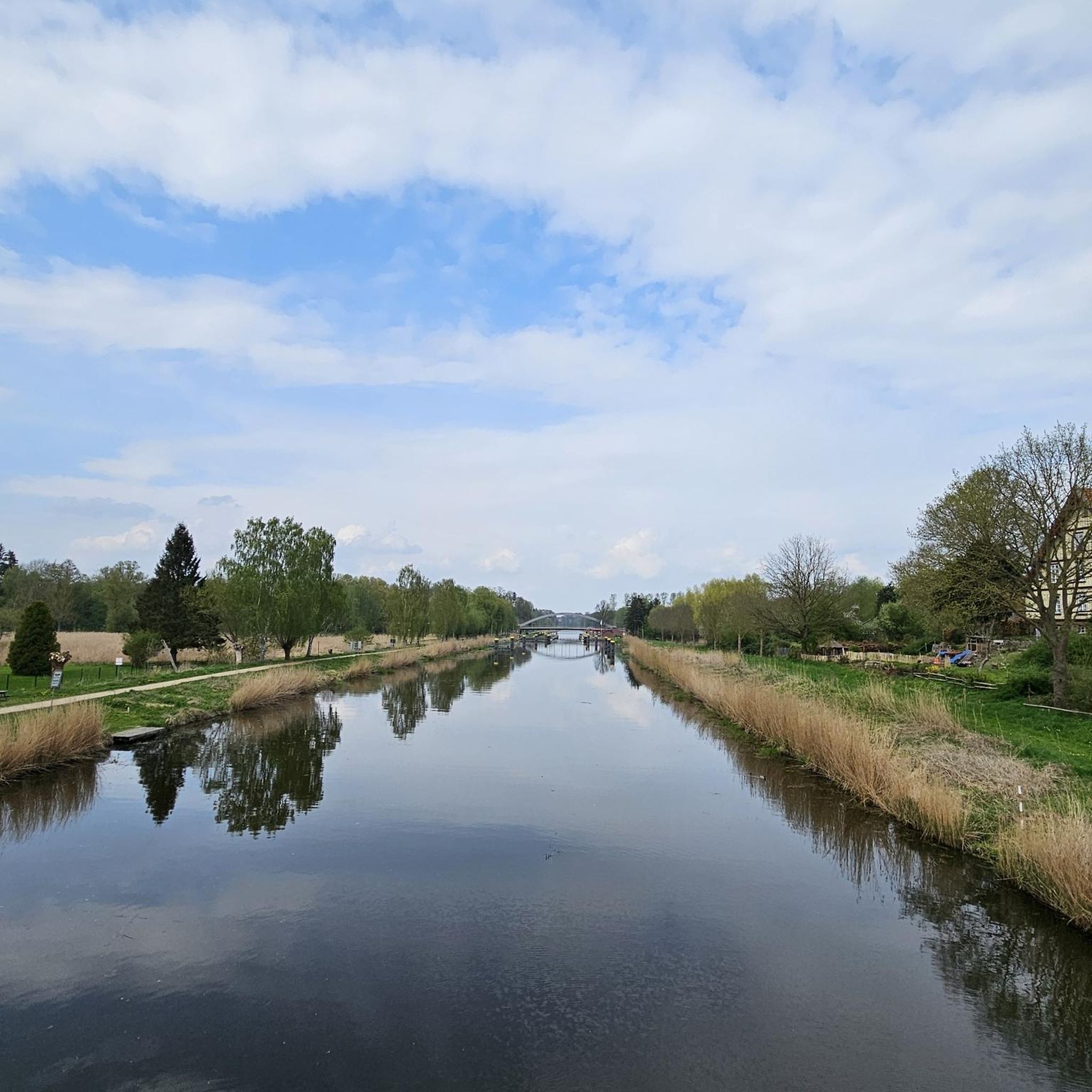
No traffic road cycling routes in Gundelfinger Moos traverse a distinctive river valley moor within the Donauried, characterized by marshland and spring water. The region is predominantly flat, making it suitable for road cycling with gentle inclines. This area is a designated nature reserve featuring extensive wet meadows, peat cuttings, and agricultural grasslands. It is also closely connected to the Danube River and the Danube Cycle Path, offering a network of paved and unpaved roads.
Best no traffic road cycling…
Last updated: May 13, 2026
10
riders
37.2km
01:34
160m
160m
Moderate road ride. Great for any fitness level. Some segments of this route may be unpaved and difficult to ride.
4.3
(3)
6
riders
Moderate road ride. Good fitness required. Some segments of this route may be unpaved and difficult to ride.

Sign up for free
9
riders
91.4km
03:58
490m
490m
Moderate road ride. Good fitness required. Mostly well-paved surfaces and easy to ride.
3.0
(1)
5
riders
24.9km
01:08
180m
180m
Easy road ride. Great for any fitness level. Mostly well-paved surfaces and easy to ride.
5.0
(3)
3
riders
65.1km
02:54
640m
640m
Moderate road ride. Good fitness required. Some segments of this route may be unpaved and difficult to ride.
Get access to more routes and recommendations from other explorers.
Sign up for free
Already have an account?
Our route recommendations are based on thousands of hikes, rides, and runs completed by other people on komoot.
Start today with a free account
Your next adventure awaits.
Login or Signup
Popular around Gundelfinger Moos

Tips from the Community

Very nice and wide newly developed cycle path
0
0

A bit annoying when there is oncoming traffic, otherwise good driving
0
0

The ruins of Kaltenburg Castle are being restored from time to time. The castle's history can be found here: https://burgenarchiv.de/Burg_kaltenburg_in_Baden-Wuerttemberg
0
0


A tourist highlight, accordingly crowded, but the view is nice
0
0

Rubine Kaltenburg in the Lone Valley
0
0


At 532m, the Charlotten Cave is the longest accessible show cave in the Swabian Alb. It's a shame that you're only allowed to take photos in one place in the cave.
8
0
Frequently Asked Questions
How many no-traffic road cycling routes are available in Gundelfinger Moos?
Gundelfinger Moos offers a wide selection of no-traffic road cycling routes, with over 35 options to explore. These routes cater to various skill levels, ensuring a pleasant ride for everyone.
What is the terrain like for no-traffic road cycling in Gundelfinger Moos?
The terrain in Gundelfinger Moos is predominantly flat, making it ideal for relaxed no-traffic road cycling. As a river valley moor, you'll find gentle inclines and well-maintained paths, perfect for longer rides without significant elevation challenges.
Are there any specific natural features or wildlife to look out for on these routes?
Yes, Gundelfinger Moos is a designated nature reserve and bird sanctuary. While cycling, you might spot various meadow birds and even Exmoor ponies grazing in the wet meadows. The landscape features a mosaic of peat cuttings, bush islands, and open water surfaces from renatured gravel pits, offering diverse natural beauty. For a specific route that offers scenic views, consider the View of Brenz Castle – Haunsheim Castle loop from Sontheim-Brenz.
Can I find family-friendly no-traffic road cycling routes in Gundelfinger Moos?
Absolutely. The flat terrain and dedicated cycling paths make Gundelfinger Moos very suitable for family-friendly no-traffic road cycling. Many routes are easy to navigate and offer a safe environment away from vehicle traffic. Look for routes marked as 'easy' for the most suitable options.
Are there circular no-traffic road cycling routes in the area?
Yes, many of the no-traffic road cycling routes in Gundelfinger Moos are designed as loops, allowing you to start and end at the same point. This is convenient for exploring the region without needing to retrace your steps. An example is the View of Brenz Castle – Schwarzenwang Restaurant loop from Sontheim-Brenz.
What kind of landmarks or points of interest can I see along these routes?
While the primary focus of Gundelfinger Moos is its natural beauty, some routes may offer views of historical sites or connect to the broader Danube region. The area's proximity to the Danube Cycle Path means you're never far from scenic river views. For a route that includes a castle view, try the View of Brenz Castle – Kloster Mödingen loop from Sontheim-Brenz.
Where can I park my car to access no-traffic road cycling routes?
Parking is generally available at various access points around Gundelfinger Moos, especially near the larger towns or designated trailheads. Specific parking information is often provided within individual route descriptions on komoot, helping you find convenient starting points for your no-traffic ride.
What is the best time of year for no-traffic road cycling in Gundelfinger Moos?
The best time for no-traffic road cycling in Gundelfinger Moos is typically from spring through early autumn (April to October). During these months, the weather is generally mild, and the natural landscape is at its most vibrant. The flat terrain makes it accessible even in cooler shoulder seasons, but always check local weather conditions.
Are there any cafes or places to stop for refreshments along the no-traffic routes?
While Gundelfinger Moos is primarily a natural area, many routes connect to or pass through nearby villages and towns where you can find cafes, restaurants, or bakeries for refreshments. Planning your route with komoot allows you to identify potential stops along the way. For a longer ride with potential stops, consider the View of Brenz Castle – Charlottenhöhle loop from Sontheim-Brenz.
What do other cyclists enjoy the most about no-traffic road cycling in Gundelfinger Moos?
The area is highly rated by the komoot community, with an average score of 4.6 stars. Reviewers often praise the peaceful, traffic-free nature of the routes, the beautiful natural scenery of the moor, and the flat, easy-to-ride terrain that makes for a relaxing cycling experience. The opportunity to spot wildlife and enjoy the quiet surroundings is frequently highlighted.
How long are the typical no-traffic road cycling routes in Gundelfinger Moos?
The no-traffic road cycling routes in Gundelfinger Moos vary in length to suit different preferences. You can find shorter, easy rides perfect for a quick outing, as well as longer tours for more extensive exploration. For example, the View of Brenz Castle loop from Sontheim-Brenz offers a moderate distance for a satisfying ride.
Most popular routes in Gundelfinger Moos

Get inspired with the komoot mobile app


Explore more
Browse the best Road cycling routes in other regions.
