The best traffic-free bike rides in Würm-Heckengäu
4.6
(6200)
35,233
riders
656
rides
No traffic touring cycling routes in Würm-Heckengäu traverse a diverse landscape characterized by 18 interconnected nature reserves and three surrounding landscape protection areas. The region features unique ecosystems such as juniper heaths, semi-arid grasslands, and traditional orchards. Cyclists can explore limestone-pine and mixed deciduous forests, as well as routes along spring slopes and the Würm River Valley. Dedicated cycling paths, often traffic-free, provide smooth asphalt surfaces suitable for various fitness levels.
Best no traffic touring cycling routes in Würm-Heckengäu
- The…
Last updated: July 9, 2026
4.7
(76)
386
riders
38.6km
02:30
420m
420m
Moderate bike ride. Good fitness required. Mostly paved surfaces. Suitable for all skill levels.
4.5
(15)
145
riders
Moderate bike ride. Good fitness required. Mostly paved surfaces. Suitable for all skill levels.

Sign up for free
4.9
(16)
75
riders
25.7km
01:44
340m
340m
Moderate bike ride. Good fitness required. Mostly paved surfaces. Suitable for all skill levels.
3.8
(13)
72
riders
15.9km
01:01
190m
190m
Moderate bike ride. Good fitness required. Mostly paved surfaces. Suitable for all skill levels.
4.9
(8)
42
riders
24.0km
01:35
290m
290m
Moderate bike ride. Good fitness required. Mostly paved surfaces. Suitable for all skill levels.
Get access to more routes and recommendations from other explorers.
Sign up for free
Already have an account?
Our route recommendations are based on thousands of hikes, rides, and runs completed by other people on komoot.
Start today with a free account
Your next adventure awaits.
Login or Signup
Popular around Würm-Heckengäu
Tips from the Community


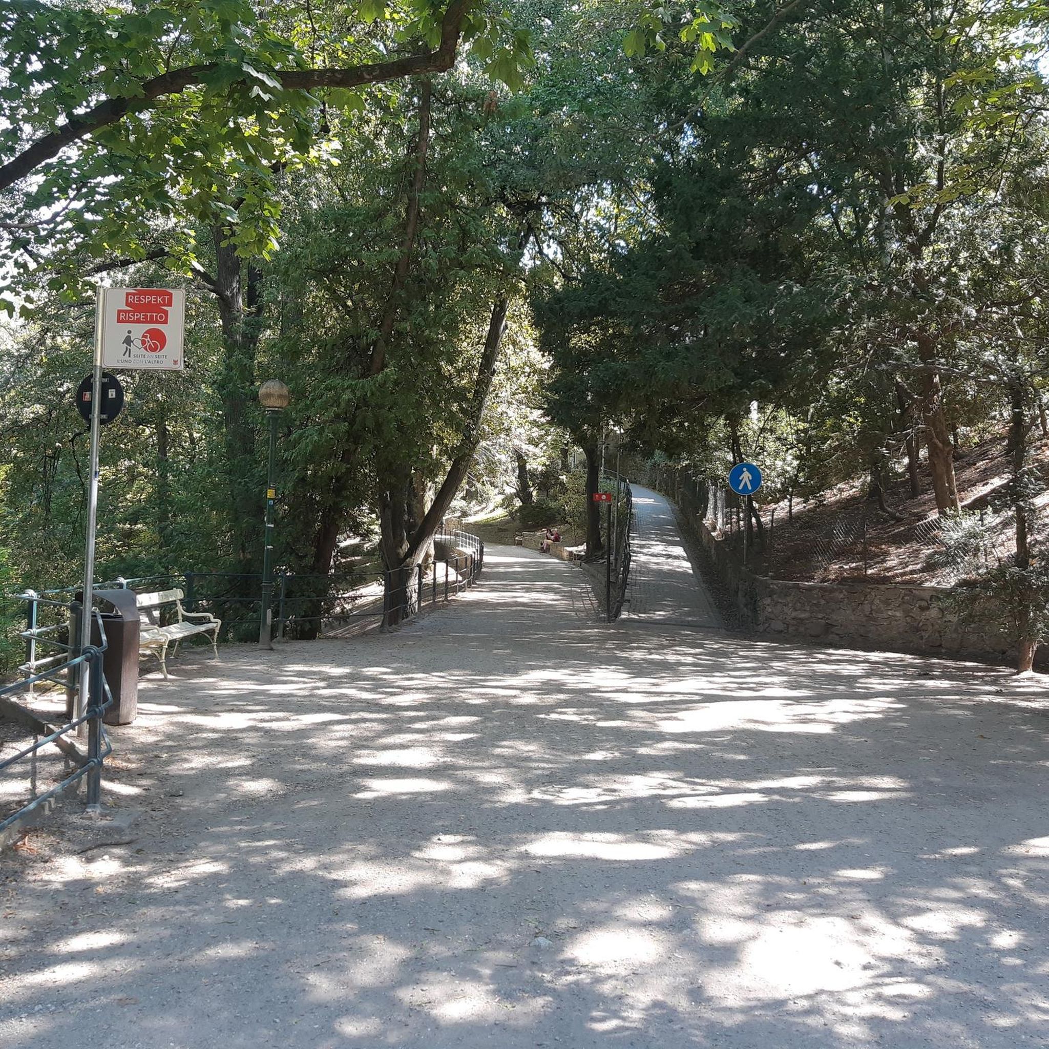
Caution: there is currently a lot of dirt on the cycle path from Simmozheim to Weil der Stadt, especially in the area of the Aussiedlerhof near the salt meadows.
0
0

A very nice rest stop. They serve delicious ice cream and cakes.
0
0

Striking and inspiring art on the bike path!
4
0
The paths in the Würmtal are all super beautiful!
3
0
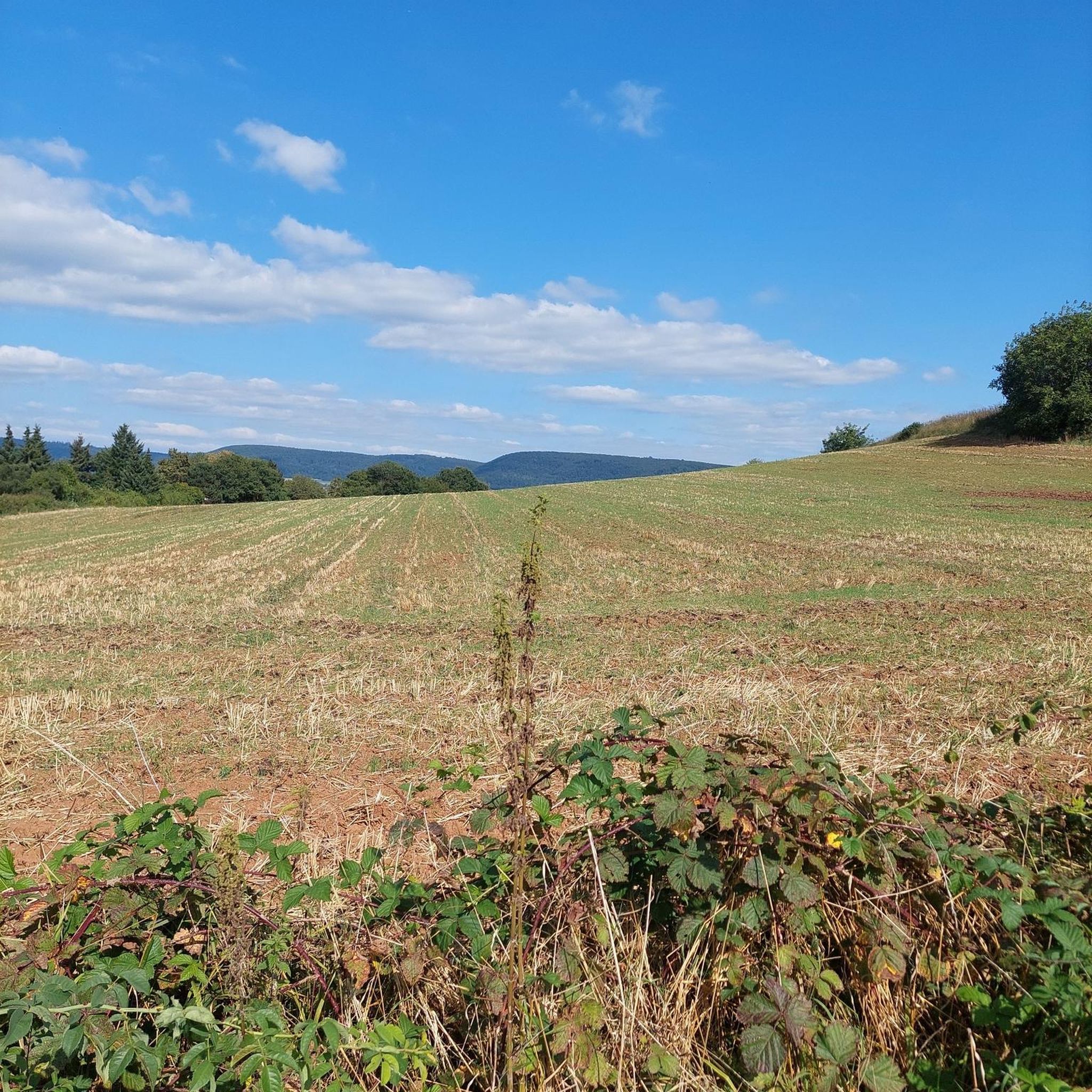
Unobstructed view of an open summer landscape, beautiful to the eye.
3
1

Beautiful view, but the descent requires utmost concentration because the surface of the dirt road is extremely poor!
0
0
Frequently Asked Questions
How many no-traffic touring cycling routes are available in Würm-Heckengäu?
There are over 640 no-traffic touring cycling routes available in Würm-Heckengäu. This includes a wide range of options, with more than 130 easy routes, over 340 moderate routes, and more than 160 difficult routes for more experienced cyclists.
What kind of terrain can I expect on these no-traffic routes?
The Würm-Heckengäu region offers diverse terrain. You'll find dedicated cycling paths with smooth asphalt, ideal for road bikes, often following the Würm River Valley for relatively flat sections. However, the region also features varied landscapes including juniper heaths, orchards, and limestone-pine forests, which can introduce moderate ascents (around 8-10%) rewarding cyclists with expansive views.
What is the best time of year for touring cycling in Würm-Heckengäu?
Spring through autumn generally offers the best conditions for touring cycling in Würm-Heckengäu. During these seasons, the weather is typically mild, and the diverse natural landscapes, including juniper heaths and forests, are at their most vibrant. Dedicated paths are well-maintained and enjoyable during these months.
Are there routes suitable for beginners or families?
Yes, Würm-Heckengäu offers many routes suitable for beginners and families. Over 130 easy routes are available, often utilizing dedicated, traffic-free cycle paths that are easily navigable. These paths provide a safe and enjoyable experience for all fitness levels, with gentle gradients and scenic surroundings.
What natural features or landmarks can I see along the no-traffic touring cycling routes?
The routes traverse a region rich in natural beauty and points of interest. You can explore the unique ecosystems of juniper heaths and semi-arid grasslands, traditional orchards, and diverse forests. Notable highlights include the Wurm-Heckengäu Nature Reserve: Billingshalde, the Hohe Nille Nature Reserve, and the Wurm-Heckenberg, Neumaden and Zimmermannswiesen Nature Reserve. You might also encounter the Zimmerplatz Three Linden Memorial and View of Gechingen, offering scenic vistas.
Are there circular no-traffic touring routes available?
Yes, many no-traffic touring routes in Würm-Heckengäu are designed as loops, allowing you to start and end at the same point. An example is the Würmtal – Würmtal Cycle Path loop from Calw-Heumaden, which offers a moderate 38 km ride. Another option is the Beautiful valley towards Simmozheim loop from Calw-Heumaden, covering 26 km.
How can I access the no-traffic cycling routes using public transport?
The Würm-Heckengäu region is generally accessible by public transport, particularly to larger towns like Calw and Althengstett, which serve as good starting points for many routes. While specific public transport connections to every trailhead may vary, regional bus services often connect to train stations, allowing you to reach the vicinity of the cycling paths. It's advisable to check local transport schedules for bike carriage options.
Where can I park my car near the no-traffic cycling routes?
Parking is typically available in the towns and villages that serve as starting points for the routes, such as Calw, Althengstett, and Gechingen. Look for designated public parking areas. Many routes, like the Harthäusle Shelter – Gechingen Bypass Trail loop from Calw, start from easily accessible locations with parking facilities nearby.
Can I find cafes or places to rest along the routes?
Yes, the region is well-equipped with opportunities for rest and refreshment. Many routes pass through charming villages where you can find cafes, restaurants, and traditional inns. Additionally, scenic viewpoints and dedicated rest stops with benches are often provided along the paths, allowing cyclists to take a break and enjoy the surroundings.
What do other cyclists say about touring cycling in Würm-Heckengäu?
The komoot community highly rates touring cycling in Würm-Heckengäu, with an average score of 4.6 stars from over 6,100 ratings. Reviewers often praise the region's diverse and well-preserved landscapes, the tranquility of the traffic-free paths, and the blend of gentle and moderately challenging routes that cater to various preferences.
Are there any specific dedicated cycle paths I should look for?
Yes, the region boasts several dedicated cycle paths that are excellent for no-traffic touring. The path between Gechingen and Deufringen is a popular choice, as is the Ostelsheim–Althengstett Cycle Path. These routes are specifically designed for bicycles, offering smooth surfaces and a peaceful riding experience away from vehicular traffic.
Are there longer no-traffic touring routes for multi-day trips?
While many routes are suitable for day trips, the Würm-Heckengäu area's connection to wider networks, including its proximity to the Black Forest, suggests potential for linking multiple routes for longer touring experiences. Routes like the View of Calw – Zavelstein Town Hall Fountain loop from Althengstett, at over 38 km with significant elevation, can be combined with others to create extended tours.
Most popular routes in Würm-Heckengäu
Most popular attractions in Würm-Heckengäu

Get inspired with the komoot mobile app


Explore more
Browse the best Cycling routes in other regions.
