The best hikes from bus stations in Saarschleife Und Leukbachtal
4.5
(21121)
81,662
hikers
16
hikes
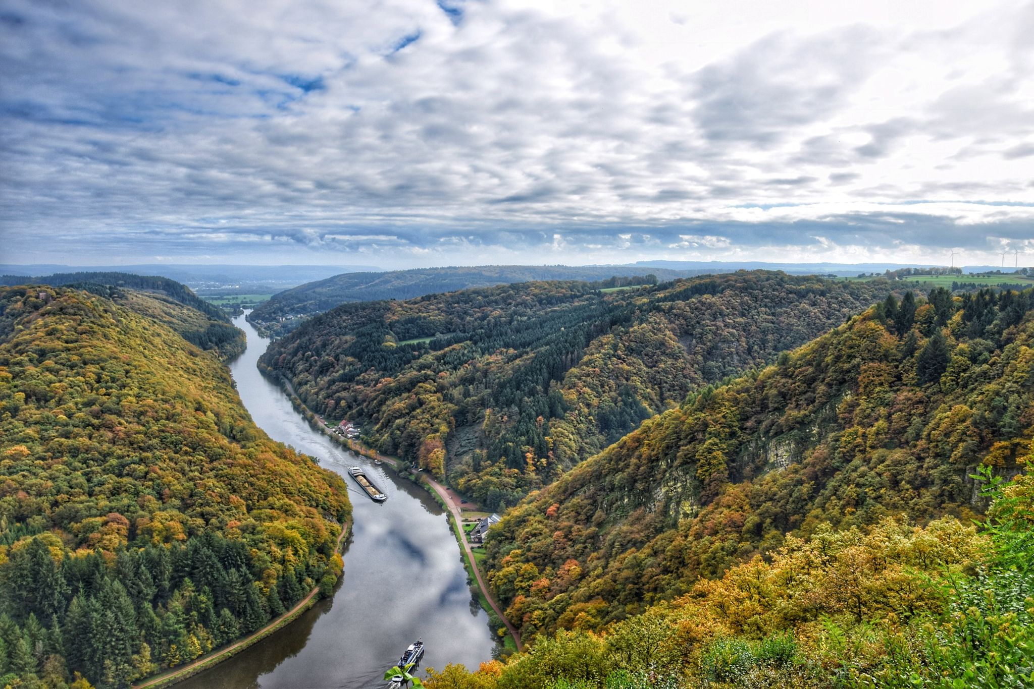
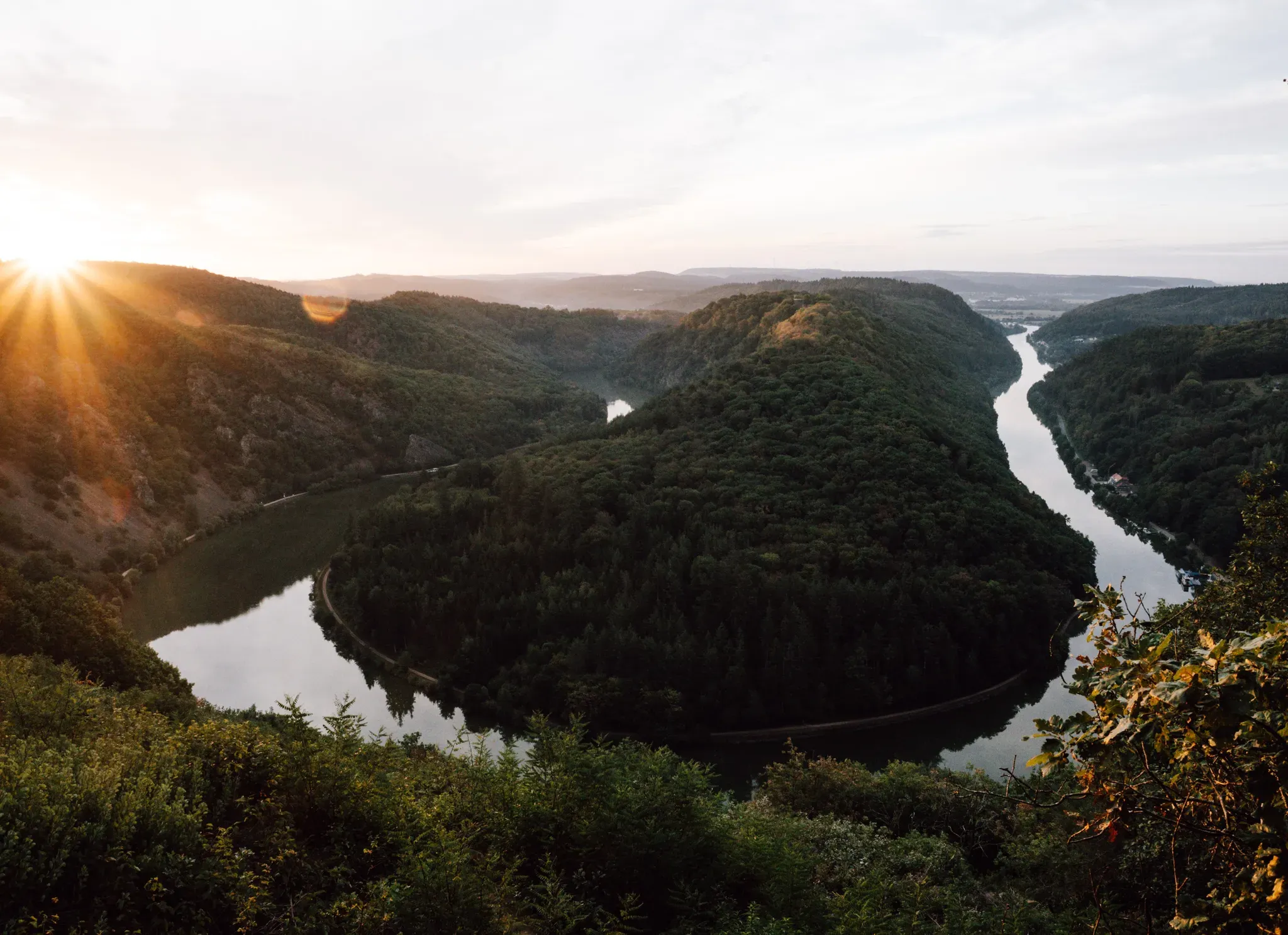
Bus station hiking trails in Saarschleife Und Leukbachtal traverse a landscape dominated by the iconic horseshoe bend of the Saar River, known as the Saarschleife. The region features dense forested mountains, including beech, hornbeam, and oak, alongside ravine-like rock formations and mossy forest floors, particularly in the Steinbach Valley. The Leukbachtal Valley, part of the Saar-Hunsrück Nature Park, offers a serene environment with meandering rivers and numerous creeks. Elevations range significantly, with the mountain spur around the Saar reaching 318…
Last updated: November 8, 2026
4.9
(861)
2,869
hikers
28.0km
08:03
670m
670m
Hard hike. Very good fitness required. Easily walkable paths.
4.8
(40)
157
hikers
8.13km
02:22
220m
220m
Moderate hike. Good fitness required. Easily walkable paths.

5.0
(7)
33
hikers
6.11km
01:45
150m
150m
Easy hike. Easily walkable paths.
4.8
(6)
37
hikers
6.14km
01:39
80m
80m
Easy hike. Easily walkable paths.
4.3
(3)
27
hikers
5.33km
01:27
80m
80m
Easy hike. Easily walkable paths.
Get access to more routes and recommendations from other explorers.
Already have an account?
Our route recommendations are based on thousands of hikes, rides, and runs completed by other people on komoot.
Start today with a free account
Your next adventure awaits.
Popular around Saarschleife Und Leukbachtal
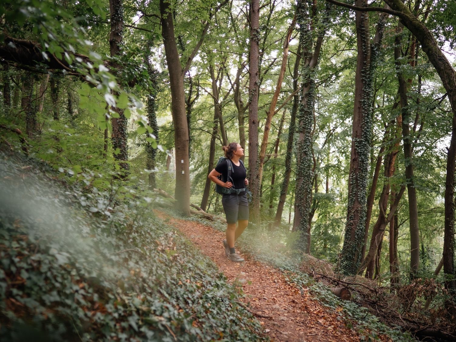
Day hikes on the Saar-Hunsrück Trail
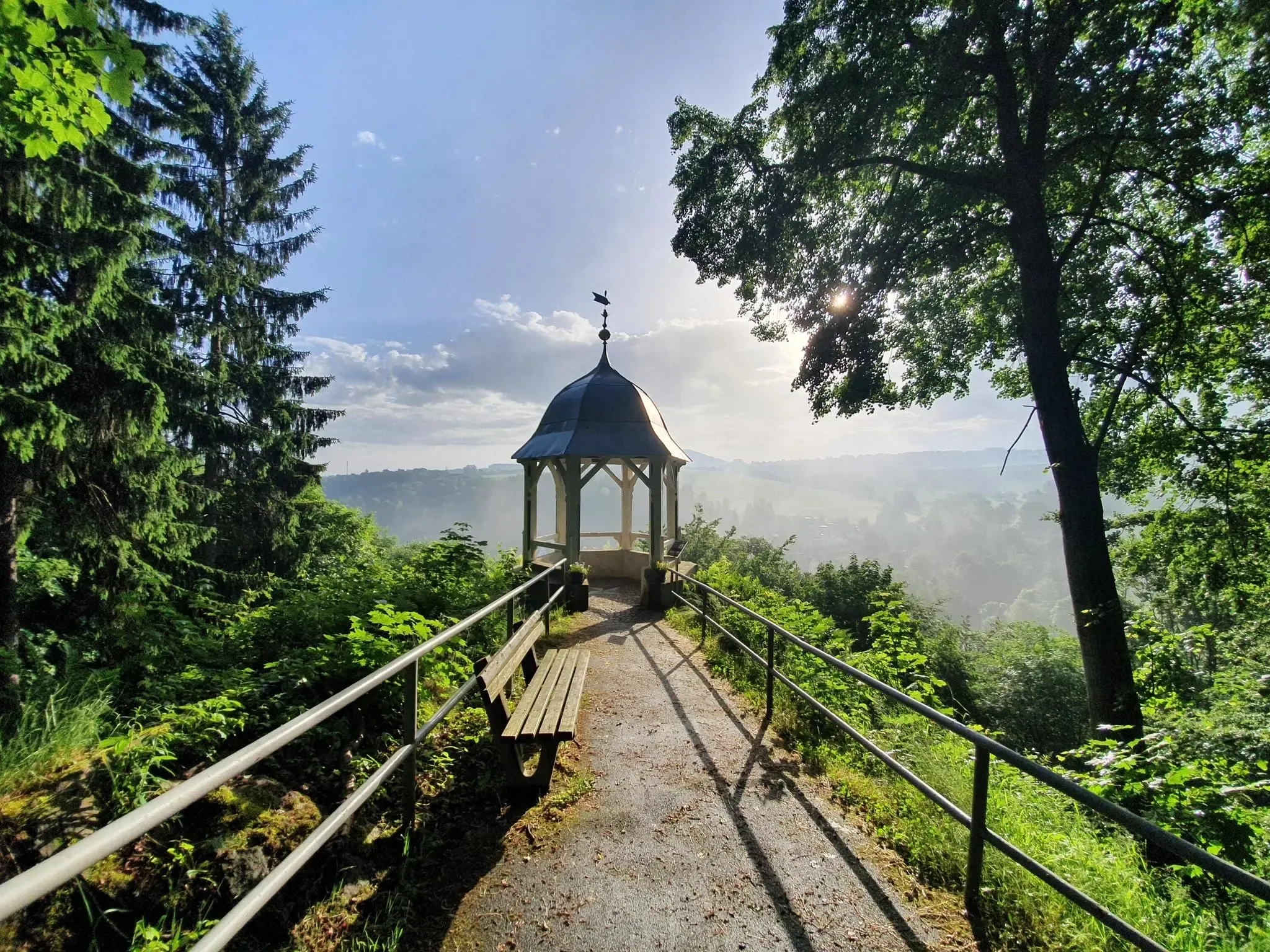
#GoFurther – discover the views of Germany!
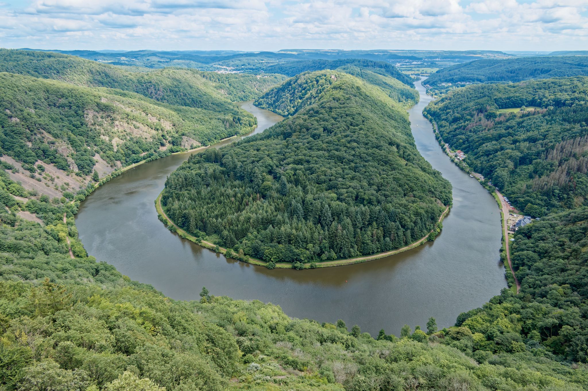
Hike Germany’s Saar-Hunsrück Climb with jungwandern.de
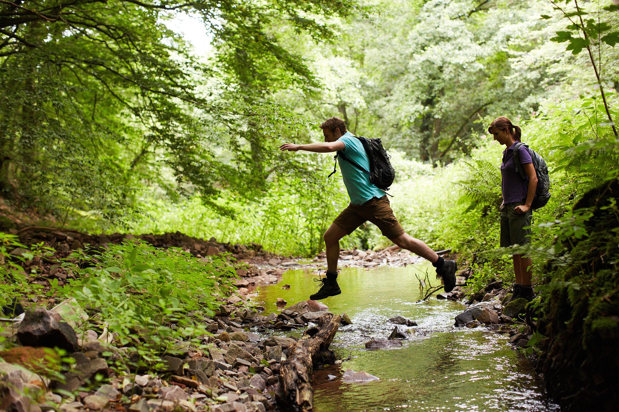
Countless trails, nature & history – hiking in Saarland
10 enchanting hikes through wild nature in Saarland
3 days on the Saar-Hunsrück-Steig: in the heart of Saarland’s nature
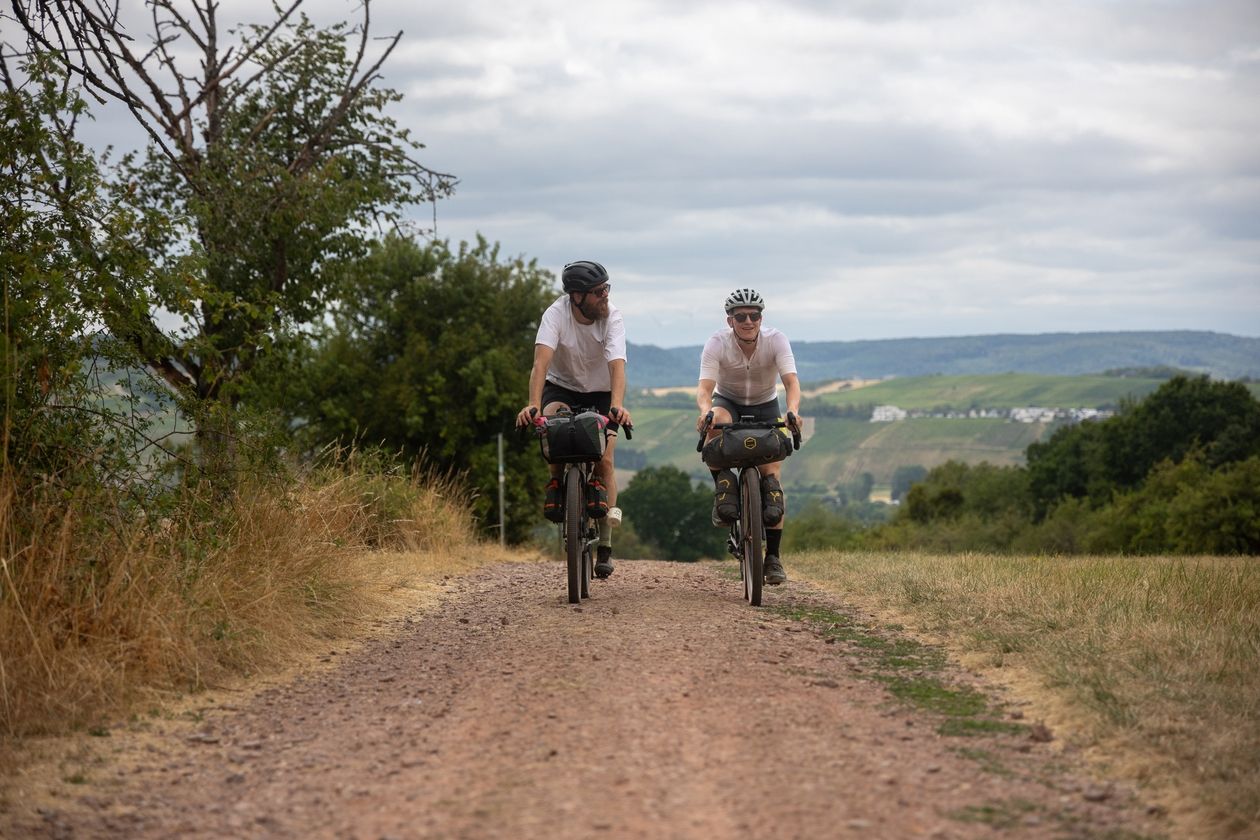
Saarland Gravel Loop: a three-border bikepacking tour
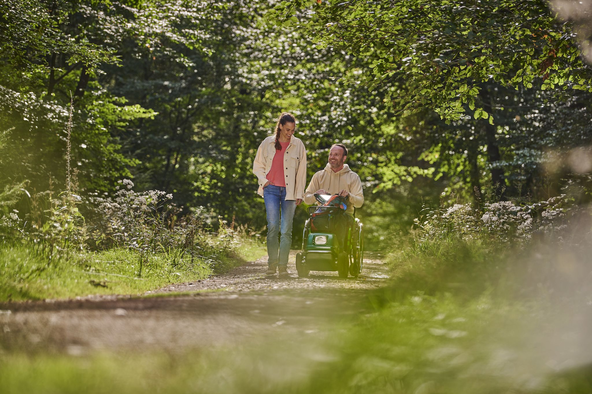
Outdoors – Nature experiences for everyone
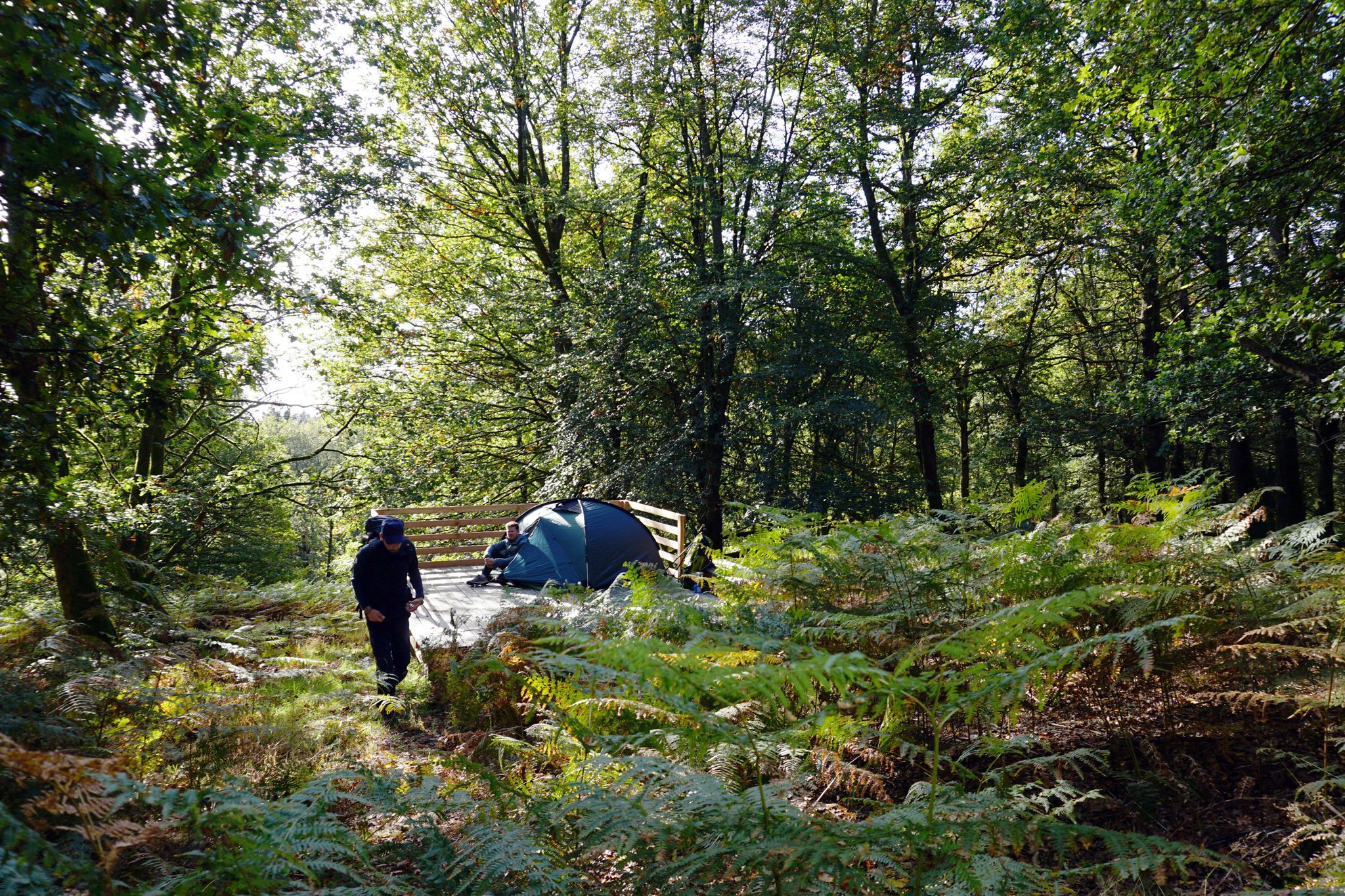
Trekkingfeeling auf dem Saar-Hunsrück-Steig – von Campground zu Campground
Other adventures in Saarschleife Und Leukbachtal


Tips from the Community

Very beautiful view of the Saarschleife Also suitable for people with walking difficulties
1
0

Fantastic view of the Saartal valley.
1
0


Many years ago we were up there before. In the meantime, the treetop path costs 14 euros for adults - quite steep.
0
0
The entire Saarschleife has paths on both sides of the river.
0
0

Great view. In summer, there's hardly any protection from the sun and heat during the midday climb.
1
0
Frequently Asked Questions
How many bus station hiking trails are available in Saarschleife Und Leukbachtal?
There are 15 bus-accessible hiking trails in Saarschleife Und Leukbachtal, offering a variety of experiences for different fitness levels. You'll find 10 easy routes and 5 moderate routes to explore.
What makes hiking from bus stations in Saarschleife Und Leukbachtal unique?
Hiking from bus stations in Saarschleife Und Leukbachtal offers unparalleled access to the region's iconic natural beauty, like the Saarschleife, without needing a car. You can easily reach trailheads and immerse yourself in dense forests, dramatic river bends, and serene valleys, all while enjoying the convenience of public transport.
What is the best time of year to hike these bus-accessible trails?
The Saarschleife Und Leukbachtal region is beautiful year-round. Spring brings lush greenery and blooming flora, while autumn offers spectacular fall colors, especially around the forested Saarschleife. Summer is ideal for longer days, and even winter can be magical with snow-dusted landscapes, though some paths might be slippery. Always check local conditions before heading out.
Are there easy bus-accessible hikes suitable for beginners or families?
Yes, there are 10 easy bus-accessible routes perfect for beginners or families. For example, the View of the Saarschleife – Saar Steep Slopes loop from Mettlach is a shorter, less strenuous option. Another great choice is the View of the Saar River – Cloef Trail loop from Nohn, which offers lovely views with manageable elevation changes.
What kind of terrain can I expect on these bus-accessible trails?
The terrain varies, but you can expect a mix of well-maintained forest paths, some rocky sections, and occasional ascents and descents, especially around the Saarschleife. Trails often wind through dense beech, hornbeam, and oak forests, with some routes featuring ravine-like rock formations and mossy forest floors, particularly in areas like the Steinbach Valley.
Can I bring my dog on these bus-accessible hiking trails?
Most hiking trails in the Saarschleife Und Leukbachtal region are dog-friendly, provided your dog is kept on a leash. It's always a good idea to check specific trail regulations, especially in nature reserves. Remember to bring water for your dog and clean up after them.
What natural landmarks or viewpoints can I see on bus-accessible hikes?
Many bus-accessible hikes lead to stunning natural landmarks. You can experience the iconic Saar Loop from various perspectives, including the breathtaking View of the Saarschleife from Cloef. Some trails also pass through the serene Steinbach Valley, known for its unique geology and natural beauty.
Are there any historical sites accessible from these bus station trails?
Yes, some trails offer glimpses into the region's history. For instance, you might encounter the ruins of Montclair Castle, perched on the mountain ridge within the Saarschleife, or remnants of the former cloister church of St. Gangolf, adding a historical dimension to your outdoor adventure.
Can I see waterfalls on any of these bus-accessible routes?
While the immediate bus-accessible routes listed here don't directly feature major waterfalls, the broader Leukbachtal area, particularly around Saarburg, is known for the Leuk Waterfall. If you're willing to venture slightly further from the direct bus station trailheads, you can find trails with views of this natural feature.
Are there circular routes available from bus stations?
Yes, many of the bus-accessible routes are circular, allowing you to start and end at the same bus stop without retracing your steps. Examples include the Steinbach Valley – Steinbach Valley loop from Nohn and the Path along the rock – Little Cloef Viewpoint loop from Mettlach, offering convenient exploration.
Where can I find refreshments or cafes near these bus-accessible trails?
The towns and villages where the bus stations are located, such as Mettlach and Nohn, offer various options for refreshments, including cafes, restaurants, and guesthouses. Many trails also pass through or near these settlements, making it easy to grab a bite or a drink before or after your hike.
What do other hikers say about the bus station trails in Saarschleife Und Leukbachtal?
The bus station trails in Saarschleife Und Leukbachtal are highly rated by the komoot community, with an average score of 4.6 stars from nearly 3,800 ratings. Reviewers often praise the stunning views of the Saarschleife, the well-maintained paths through diverse forests, and the convenience of accessing these beautiful routes via public transport.
Are there any accessible walks from bus stations for wheelchairs or prams?
While many hiking trails have varied terrain, the Treetop Walk Saarschleife, which is accessible via public transport to Mettlach, offers a low-barrier experience. This 1,250-meter-long path has a maximum gradient of 6%, making it suitable for wheelchairs and prams, and culminates in a 42-meter-high observation tower with panoramic views of the Saarschleife. You can find more information here: Treetop Walk Saarschleife.
Most popular routes in Saarschleife Und Leukbachtal
Most popular attractions in Saarschleife Und Leukbachtal

Get inspired with the komoot mobile app


Explore more
Browse the best Hikes in other regions.
