The best walks and hikes around Löberschütz
4.7
(9868)
36,522
hikers
25
hikes
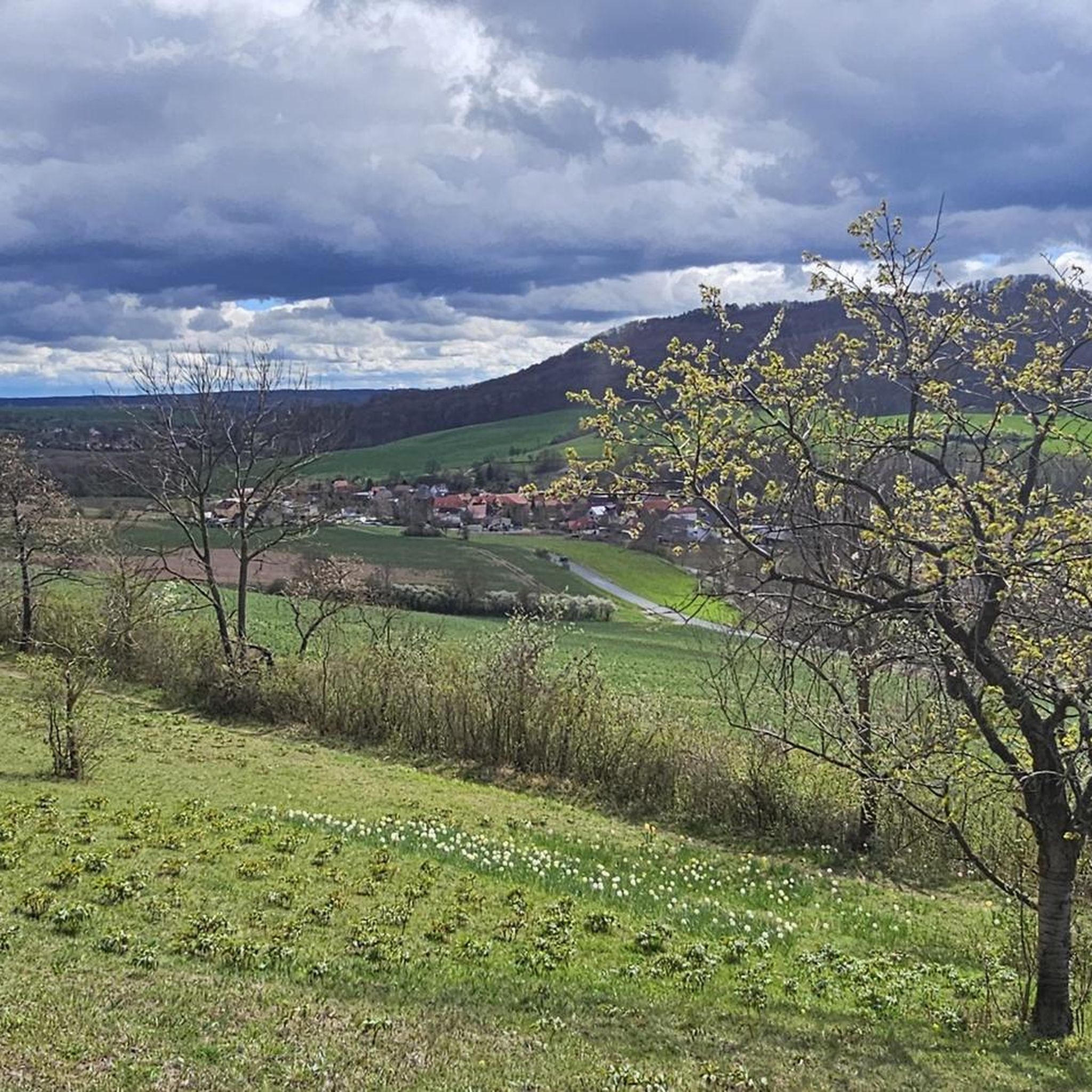
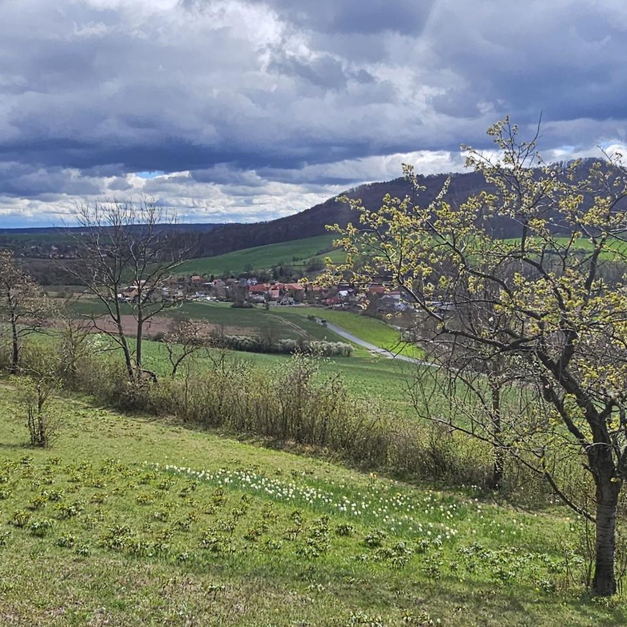
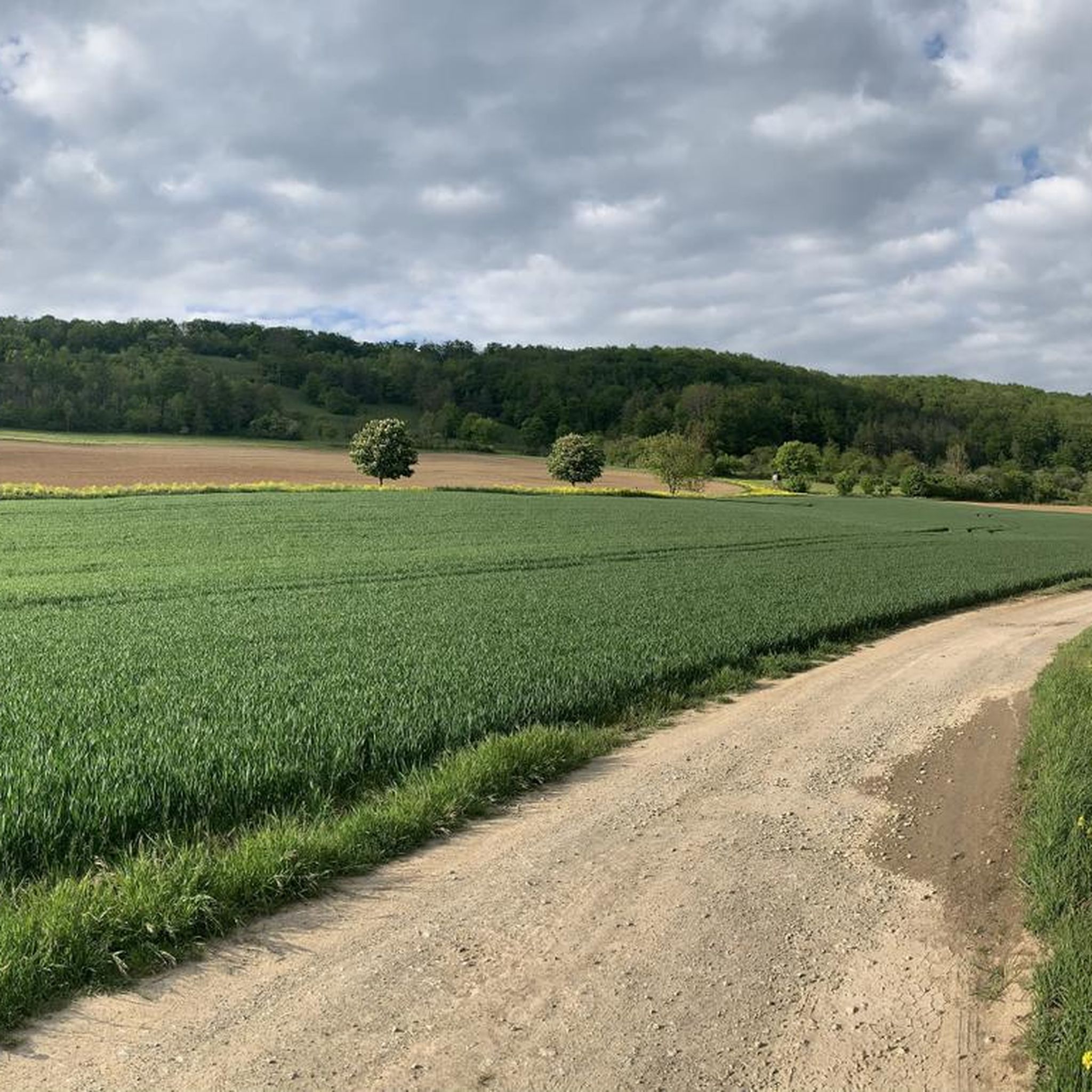
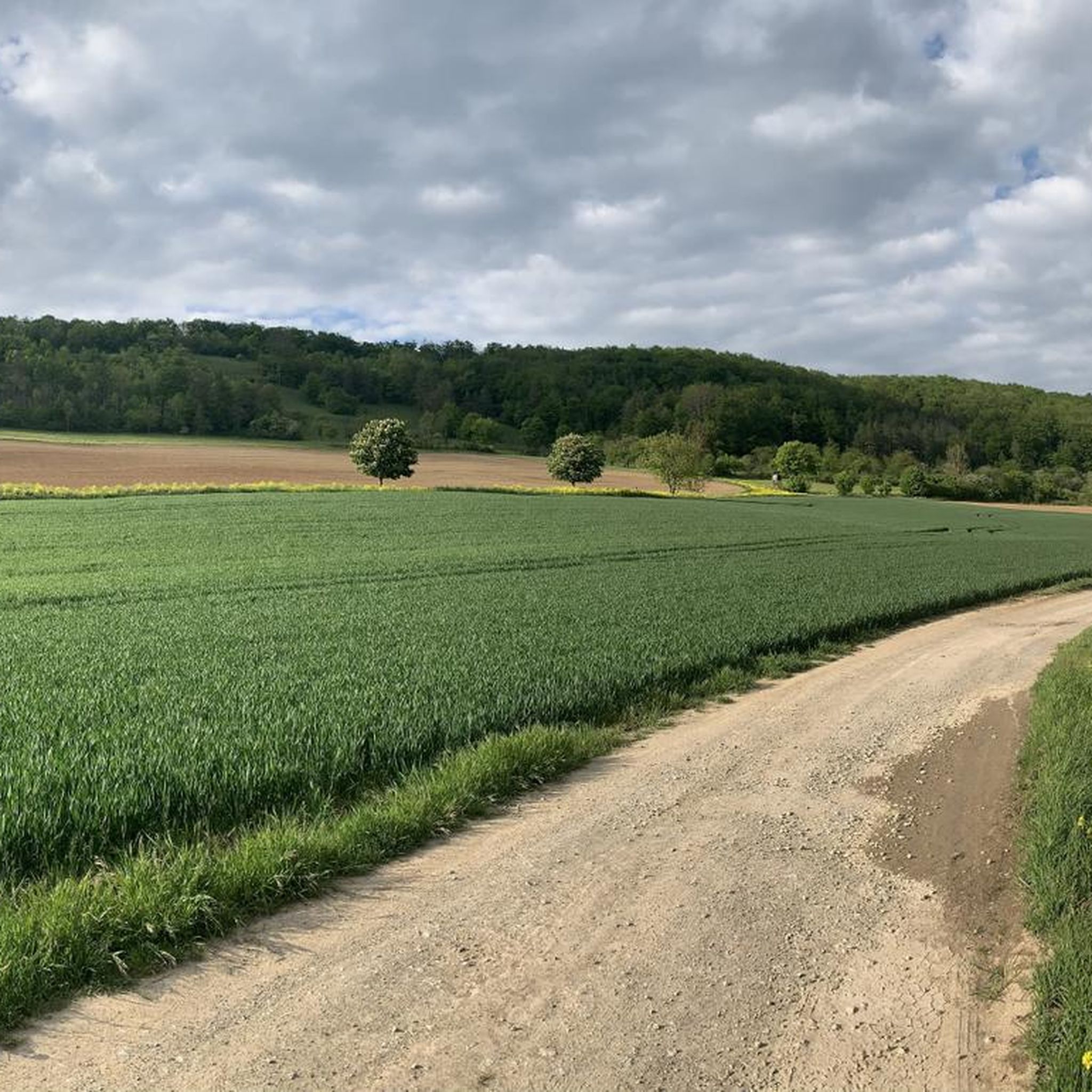
Hiking around Löberschütz offers diverse trails within Germany's picturesque Saale-Holzland district. The region is characterized by rolling hills and dense woodlands, providing a classic Thuringian landscape for outdoor activities. Notable natural features include the "Pfingstrosen- und Orchideenwiese" (Peony and Orchid Meadow), which showcases diverse flora. The area's terrain includes moderate ascents and descents, with some routes connecting to the scenic SaaleHorizontale.
Best hiking trails around Löberschütz
- The most popular hiking route is Ruins of Tautenburg Castle – Alpine trail from…
Last updated: October 27, 2026
4.8
(32)
69
hikers
Moderate hike. Good fitness required. Mostly walkable paths. Sure-footedness required.
4.8
(23)
52
hikers
7.23km
02:12
240m
240m
Moderate hike. Good fitness required. Easily walkable paths.

4.6
(16)
62
hikers
Easy hike. Easily walkable paths.
5.0
(8)
18
hikers
4.78km
01:31
180m
180m
Easy hike. Easily walkable paths.
4.5
(4)
12
hikers
12.5km
03:33
260m
260m
Moderate hike. Good fitness required. Easily walkable paths.
Get access to more routes and recommendations from other explorers.
Already have an account?
Our route recommendations are based on thousands of hikes, rides, and runs completed by other people on komoot.
Start today with a free account
Your next adventure awaits.
Tips from the Community

Interesting information board on the Planet Trail
0
0
Well-preserved hut by a chestnut tree
0
0

Currently not reachable from Löberschütz because the complete idiot has again stretched his pasture over the hiking trail. Attention: aggressive dogs in the pasture.
0
0

Practical starting point for hikes in the surrounding area. The place is also suitable for cyclists as a short resting and orientation point. 🌳🚲
0
0

Collecting stamps is a bit addictive ;-)
0
0

Wonderful view to pause and take a break.
1
0
Parking is free and easy here.
0
0

Between Bonsig and Zietschkuppe, peonies bloom from May to June. Some perennial peonies may bloom as early as early May. In cooler locations, the flowers open from late May to early June and then bloom well into June.
4
0
Frequently Asked Questions
What types of hiking trails are available around Löberschütz?
Löberschütz offers a diverse range of hiking trails, catering to various fitness levels. You'll find over 29 routes, including 7 easy trails, 20 moderate options, and 2 more challenging routes. The terrain generally features rolling hills and extensive woodlands, with some paths offering views of the scenic SaaleHorizontale.
What are the typical durations for hikes in the Löberschütz area?
Hikes around Löberschütz vary in length and duration. For instance, an easy route like the Löberschütz Hikers' Car Park – Peony and Orchid Meadow loop can be completed in under an hour. Moderate trails, such as the View of Taupadel – View of Jenalöbnitz loop, typically take around 2 hours and 15 minutes. Longer, more challenging routes, like the Ruins of Tautenburg Castle – Alpine trail from Zietschkuppe loop, can take nearly 3 hours.
Are there any family-friendly hiking routes in Löberschütz?
Yes, Löberschütz has several family-friendly options. Easy trails with moderate ascents and descents are suitable for families. A great choice is the Löberschütz Hikers' Car Park – Peony and Orchid Meadow loop, which is relatively short and leads through a beautiful natural area, perfect for a leisurely family outing.
Can I hike with my dog in the Löberschütz region?
The trails around Löberschütz are generally dog-friendly, offering plenty of natural spaces for you and your canine companion to explore. It's always recommended to keep dogs on a leash, especially in areas with wildlife or near agricultural land, and to carry water for both yourself and your pet.
What natural features or viewpoints can I discover while hiking?
The region boasts several notable natural features and scenic viewpoints. A highlight is the "Pfingstrosen- und Orchideenwiese" (Peony and Orchid Meadow) between Bonsig and Zietschkuppe, which is particularly beautiful from May to June. Many trails also offer expansive views of the picturesque SaaleHorizontale landscape. You can also find viewpoints like the View of the valley from Alter Gleisberg.
Are there any historical landmarks or attractions along the hiking trails?
Yes, hikers can explore historical landmarks. The Ruins of Tautenburg Castle are a significant destination for one of the longer hiking routes originating from Löberschütz. Additionally, the area around Löberschütz offers various viewpoints, including the View of Jena from the Jenzig, which provide scenic breaks during your hike.
When is the best time of year to go hiking in Löberschütz?
The best time to hike in Löberschütz depends on your preferences. Spring (May to June) is particularly beautiful when the "Pfingstrosen- und Orchideenwiese" is in full bloom. Summer offers lush green landscapes, while autumn brings vibrant fall colors. The trails are generally accessible year-round, though conditions may vary with snow or ice in winter.
What is the terrain like on the hiking trails around Löberschütz?
The terrain around Löberschütz is characterized by gently undulating hills and extensive woodlands. You can expect well-maintained paths with moderate ascents and descents. While most routes don't require specialized skills, some longer trails, especially those leading to the Ruins of Tautenburg Castle, might involve steeper sections and require good sure-footedness and sturdy footwear.
Are there circular hiking routes available in Löberschütz?
Many of the hiking routes around Löberschütz are designed as circular paths, allowing you to start and end at the same point without retracing your steps. Examples include the View of Taupadel – View of Jenalöbnitz loop and the Löberschütz Hikers' Car Park – Orchid Meadow loop, offering convenient exploration of the area.
What do other hikers say about the trails in Löberschütz?
The hiking trails in Löberschütz are highly regarded by the komoot community, with an average rating of 4.6 stars from over 2,400 reviews. More than 12,000 hikers have explored the varied terrain, often praising the scenic views, the peaceful woodlands, and the well-maintained paths that cater to different ability levels.
Where can I find parking for hiking trails in Löberschütz?
Many trails, such as the Löberschütz Hikers' Car Park – Peony and Orchid Meadow loop, start from designated hikers' car parks. These are typically well-signposted and provide convenient access to the trailheads. Specific parking information is usually available on individual route pages.
Are there any gorges or valleys to explore near Löberschütz?
While Löberschütz itself is known for its hills and woodlands, the surrounding region offers several interesting gorges and valleys. You can find natural monuments like the Thieves' Crag landslide and explore areas such as the Steinbach Gorge and the Zeitzgrund Valley, which are popular for hiking.
Most popular routes around Löberschütz
Most popular attractions around Löberschütz

Get inspired with the komoot mobile app


Explore more
Browse the best Hikes in other regions.
