Wiesent-Tal Mit Seitentälern
Wiesent-Tal Mit Seitentälern
The best traffic-free bike rides in Wiesent-Tal Mit Seitentälern
4.5
(154)
854
riders
166
rides
No traffic gravel bike trails in Wiesent-Tal Mit Seitentälern traverse a diverse landscape within Franconian Switzerland. The region is characterized by the Wiesent River valley, green hills, and dense woodlands, alongside striking rock formations. Gravel biking here offers a mix of terrain, from mostly paved surfaces to unpaved forest paths, catering to varied skill levels. This area provides a robust network of routes for exploring its natural features and historical attractions.
Best no traffic gravel bike trails in Wiesent-Tal Mit…
Last updated: May 12, 2026
4.4
(5)
37
riders
71.5km
05:55
1,070m
1,070m
This challenging 44.4-mile gravel tour from Forchheim through Franconian Switzerland offers diverse terrain and scenic views.
4.4
(7)
17
riders
32.9km
02:21
370m
370m
Moderate gravel ride. Good fitness required. Mostly paved surfaces. Suitable for all skill levels.

Sign up for free
4.8
(11)
53
riders
Moderate gravel ride. Good fitness required. Mostly paved surfaces. Suitable for all skill levels.
4.7
(3)
17
riders
45.4km
02:58
560m
570m
Hard gravel ride. Very good fitness required. Mostly paved surfaces. Suitable for all skill levels.
4.3
(3)
13
riders
Hard gravel ride. Very good fitness required. Mostly paved surfaces. Suitable for all skill levels.
Get access to more routes and recommendations from other explorers.
Sign up for free
Already have an account?
Our route recommendations are based on thousands of hikes, rides, and runs completed by other people on komoot.
Start today with a free account
Your next adventure awaits.
Login or Signup
Popular around Wiesent-Tal Mit Seitentälern
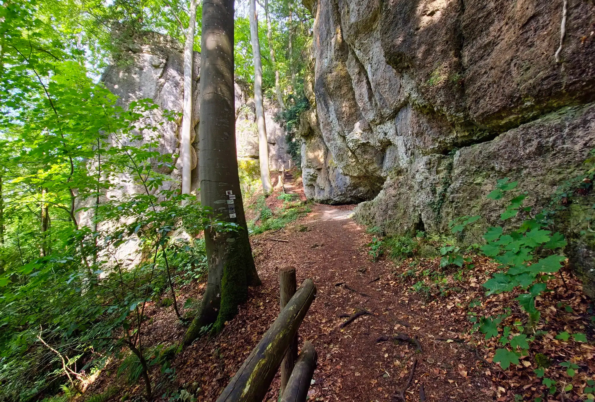
Ultratrail Fränkische Schweiz – 2 Days Burgen, Wälder, Trails
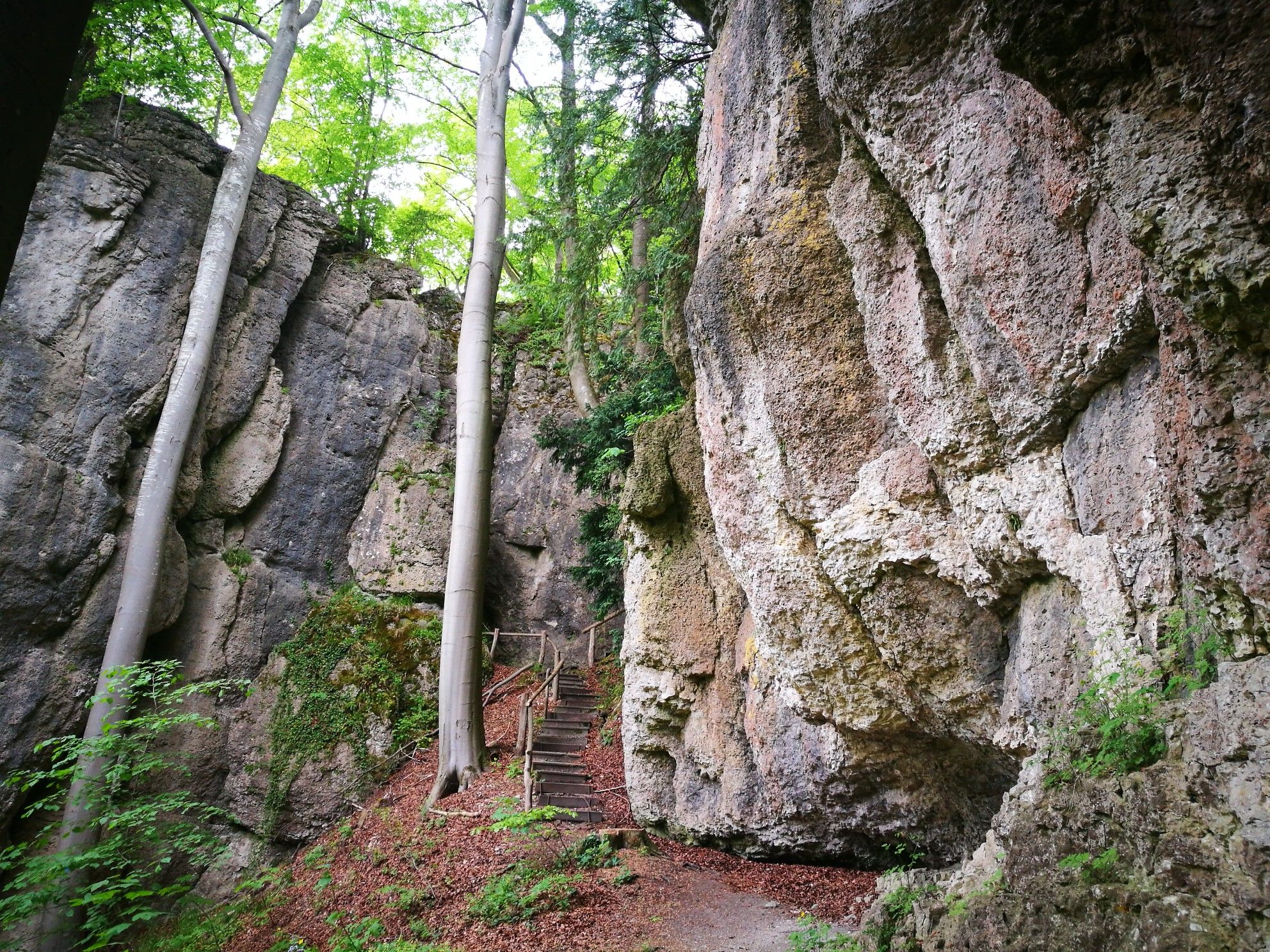
Forests, rocks and castles – 5-day circular through Franconian Switzerland

The National Natural Landscapes in Bavaria
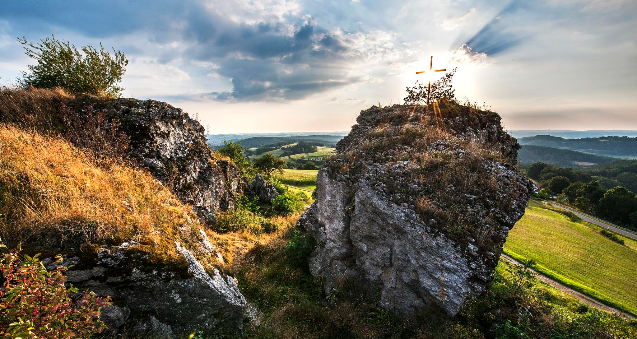
Fun hiking and wonderful views in Franconian Switzerland
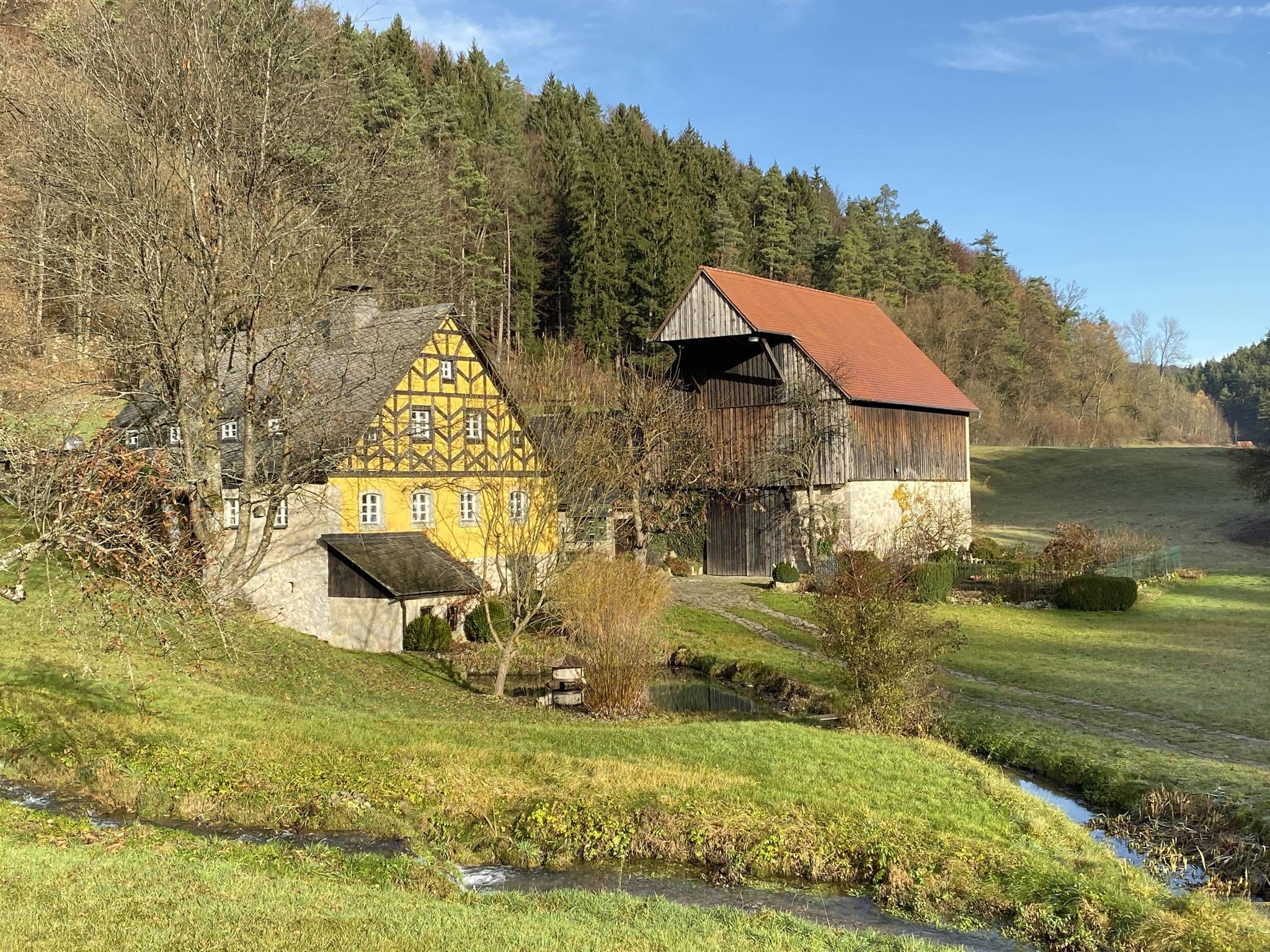
From the view to the Seidla – Nature and BeerEnjoyment in the Franconian Switzerland

The Franconian Trail – A Diverse Hiking Dream Across 24 Stages
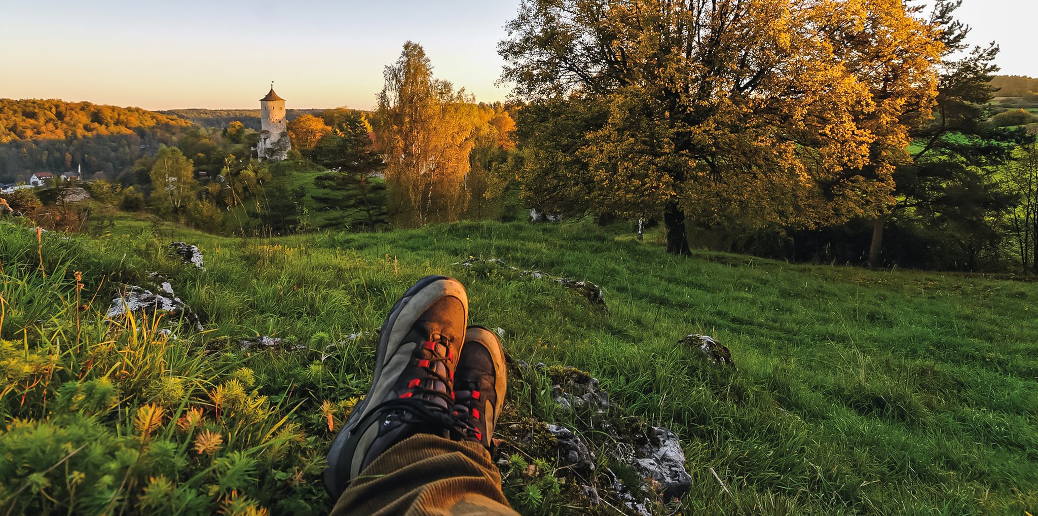
Breweries, hops & beer – Four days hiking in Franconian Switzerland
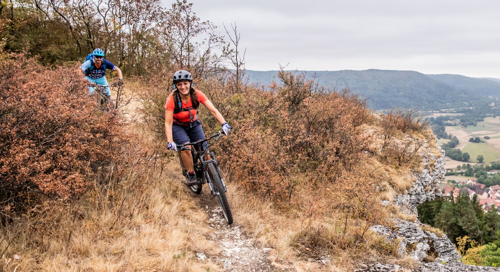
Castles, mountains, beer & trails – bikepacking in Franconian Switzerland

Hike & Beer in Franconia and Upper Palatinate — the VGN leisure tips
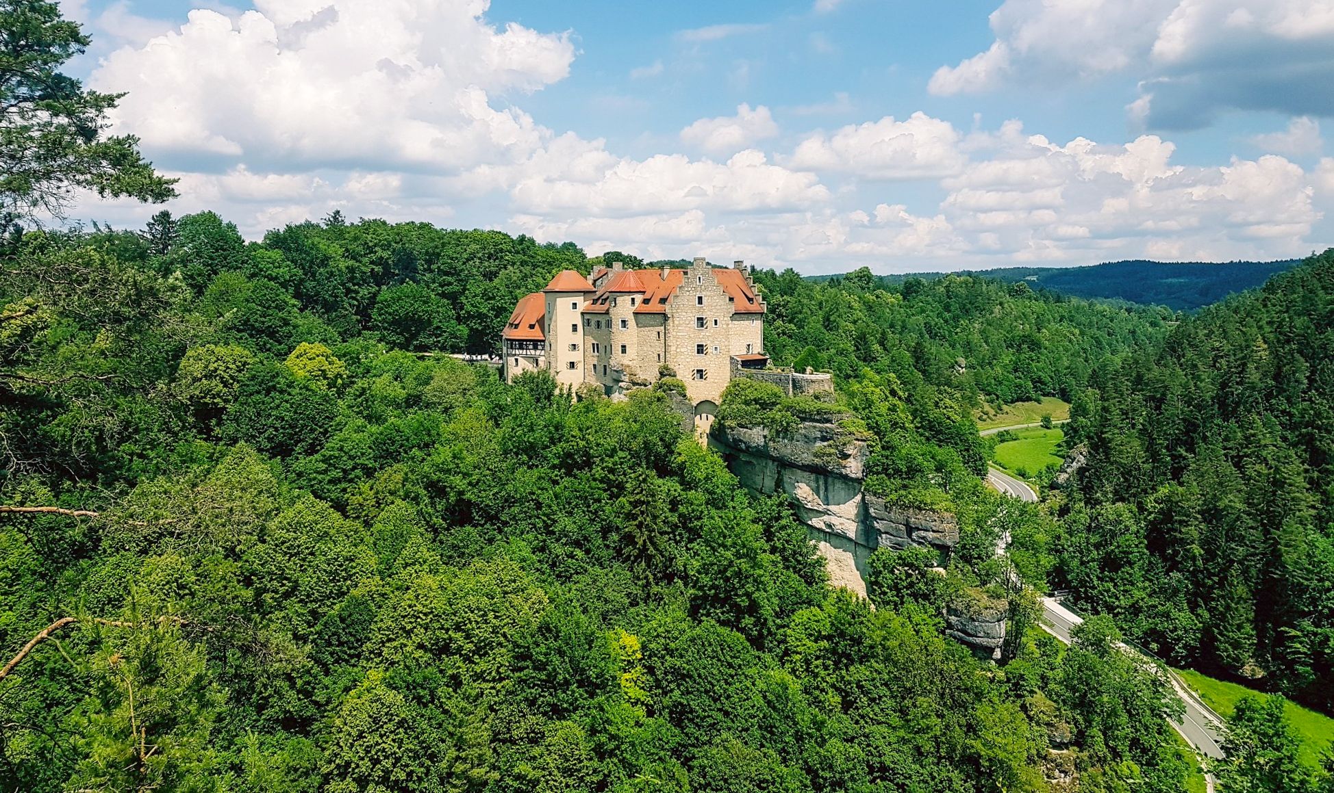
Hikes for tiny boots – VGN recreational activities for families
Other adventures in Wiesent-Tal Mit Seitentälern


Tips from the Community

Great scenery for cycling. It also works great with a gravel bike.
0
0

The cycle path between Hollfeld and Stechendorf is officially known as the Franconian Switzerland High Trail. The path follows the former railway line between Bayreuth and Hollfeld, which was closed in 1974. Thanks to the use of the old railway line, the route is largely flat and gently sloping. From Hollfeld, the path leads along the Wiesent Valley towards Stechendorf and on to Bayreuth. It is often also referred to as a leisure cycle path or a railway line path.
1
0

Very striking, unusual rock formation
0
0

A very nice hike with beautiful views of Pottenstein and rock formations. Hiking boots are essential. The rocks and tree roots in the forest are very slippery.
0
0

I always enjoy riding this great bike path.
4
1

Café Pflaum in Zochenreuth invites you to enjoy coffee and delicious cakes🫶
0
2

Leads directly past the crash memorial;
0
0
Frequently Asked Questions
How many no-traffic gravel bike trails are available in Wiesent-Tal Mit Seitentälern?
There are over 190 dedicated no-traffic gravel bike trails in Wiesent-Tal Mit Seitentälern, offering a wide range of options for all skill levels. These routes are designed to provide a serene cycling experience away from vehicular traffic.
What kind of terrain can I expect on the no-traffic gravel bike trails in this region?
The trails in Wiesent-Tal Mit Seitentälern offer a diverse mix of terrain, from mostly paved surfaces to unpaved and sometimes challenging gravel paths. You'll encounter scenic forest paths, rolling hills, and distinctive rock formations. Some sections may even require dismounting and pushing your bike, adding to the adventure.
What natural features and landmarks can I discover along these no-traffic gravel routes?
Many no-traffic gravel routes in Wiesent-Tal Mit Seitentälern pass by stunning natural features and historical landmarks. You can explore fascinating caves like the Oswald Cave or the Riesenburg Collapse Cave. Historical sites such as the Ruins of Neideck Castle offer breathtaking panoramic views, while natural monuments like the Streitberg rock gate add to the scenic beauty.
Are there any family-friendly no-traffic gravel routes in Wiesent-Tal Mit Seitentälern?
Yes, the region offers several no-traffic gravel routes suitable for families. These trails often follow gentler gradients and pass through charming villages and along the Wiesent River, providing a pleasant and safe environment for cyclists of all ages. Look for routes with 'easy' or 'moderate' difficulty ratings for the most family-friendly options.
Can I bring my dog on the no-traffic gravel bike trails?
Many no-traffic gravel trails in Wiesent-Tal Mit Seitentälern are dog-friendly, especially those that traverse forest paths and open countryside. However, it's always recommended to keep your dog on a leash, especially in nature reserves or near wildlife, and to check local regulations for specific trails. Ensure your dog is accustomed to longer rides and bring plenty of water for both of you.
What is the best time of year for gravel biking in Wiesent-Tal Mit Seitentälern?
The best time for gravel biking in Wiesent-Tal Mit Seitentälern is typically from spring to autumn (April to October). During these months, the weather is generally mild, and the landscapes are vibrant. Spring offers blooming wildflowers, while autumn provides stunning fall foliage. Summers are also great, but it's advisable to start early to avoid the midday heat. Winter can be challenging due to snow and ice, making some trails impassable.
Are there any challenging no-traffic gravel routes for experienced riders?
Absolutely! For experienced gravel bikers seeking a challenge, consider the Franconian Castles and Breweries Loop. This route covers over 71 km with more than 1000 meters of elevation gain, offering a demanding ride through diverse terrain and past historical sites.
Can you recommend a moderate no-traffic gravel route with scenic views?
For a moderate ride with beautiful scenery, the Wiesent River at Streitberg – Ebermannstadt Market Square loop from Muggendorf is an excellent choice. This 46 km loop follows the picturesque Wiesent River, offering gentle climbs and stunning views of the valley and charming towns like Ebermannstadt.
What do other gravel bikers enjoy most about the no-traffic trails in Wiesent-Tal Mit Seitentälern?
The komoot community highly rates the no-traffic gravel trails in Wiesent-Tal Mit Seitentälern, with an average score of 4.49 stars. Reviewers often praise the region's quiet woodlands, the diverse and engaging terrain, and the opportunity to explore historical castles and natural rock formations away from traffic. The well-maintained paths and stunning views are frequently highlighted as major attractions.
Are there options for parking near the no-traffic gravel trails?
Yes, many towns and villages throughout Wiesent-Tal Mit Seitentälern, such as Pottenstein, Muggendorf, and Ebermannstadt, offer designated parking areas that provide convenient access to the no-traffic gravel trails. It's advisable to check specific starting points for routes to find the most suitable parking options.
How can I access the no-traffic gravel trails using public transport with my bike?
Public transport options, particularly regional trains and buses, serve several towns in Wiesent-Tal Mit Seitentälern. Many services allow bicycles, though it's recommended to check the specific operator's policies and any potential peak hour restrictions or additional fees for bike transport. Towns like Ebermannstadt are well-connected and can serve as good starting points for your gravel biking adventure.
Are there any longer no-traffic gravel routes for an extended day trip?
If you're looking for a longer ride, consider the Old Leidingshof Road – View of Taschnerfelsen loop from Unterleinleiter. This challenging route spans over 45 km and features significant elevation changes, providing a full day of exploration through varied landscapes and offering expansive views.
Most popular routes in Wiesent-Tal Mit Seitentälern
Most popular attractions in Wiesent-Tal Mit Seitentälern

Get inspired with the komoot mobile app


Explore more
Browse the best Gravel rides in other regions.
