The best hikes from bus stations in Scott Creek Conservation Park
4.4
(29)
372
hikers
13
hikes
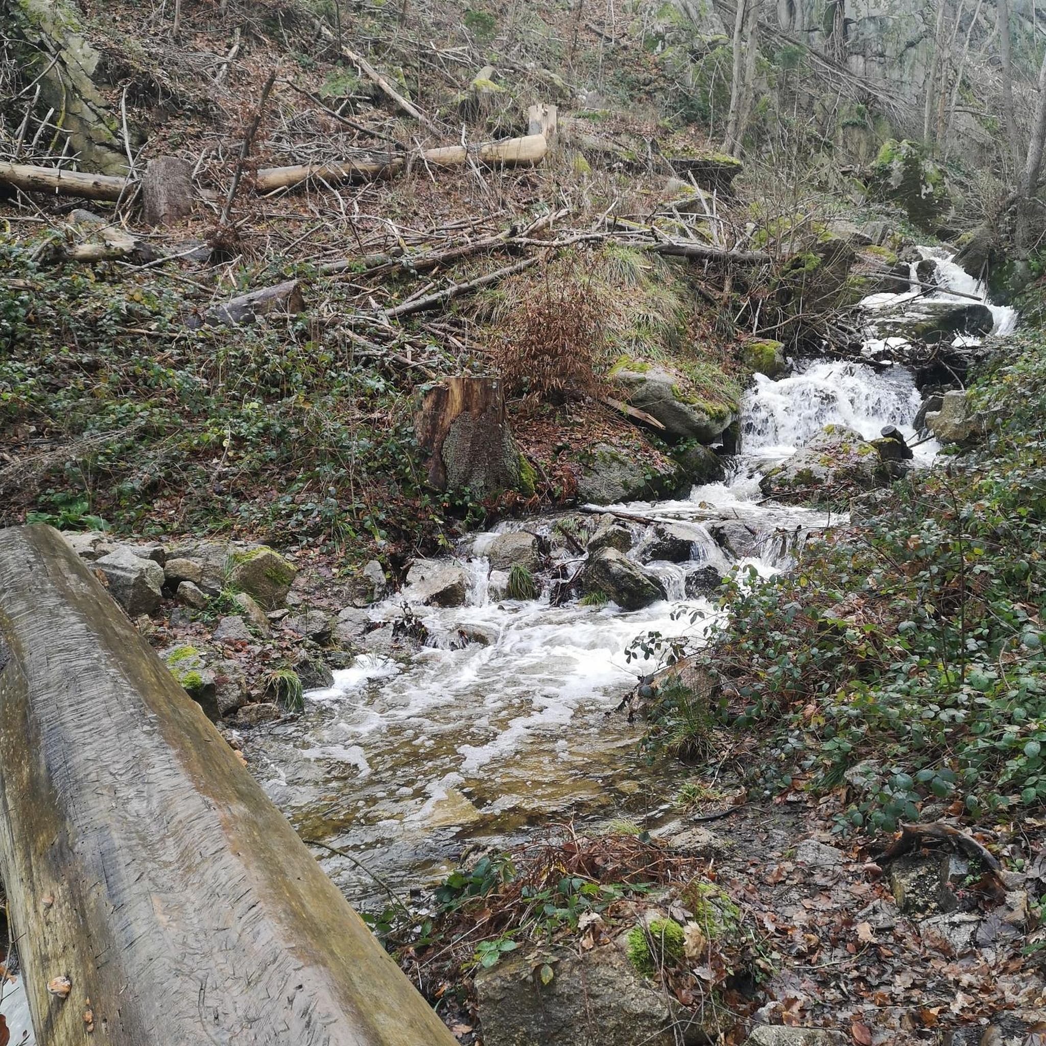
Bus station hiking trails in Scott Creek Conservation Park traverse 706 hectares of varied terrain, including steep-sloped valleys, lush creeklines, and rounded ridgetops. The park features open woodland, grassland, and dense stringybark forests, providing diverse environments for hikers. This landscape supports nearly 400 species of native plants and over 125 bird species. Ridge tracks within the park offer views of heavily wooded slopes and gullies.
Best bus station hiking trails in Scott Creek Conservation Park
- The most popular bus station…
Last updated: July 22, 2026
2
hikers
5.90km
01:38
110m
110m
Easy hike. Great for any fitness level. Easily-accessible paths. Suitable for all skill levels.
4.0
(1)
17
hikers
12.5km
03:34
290m
290m
Moderate hike. Good fitness required. Easily-accessible paths. Suitable for all skill levels.

Sign up for free
11
hikers
25.8km
07:28
630m
630m
Hard hike. Very good fitness required. Mostly accessible paths. Sure-footedness required.
2
hikers
10.5km
02:54
180m
180m
Moderate hike. Good fitness required. Easily-accessible paths. Suitable for all skill levels.
13
hikers
7.29km
02:03
120m
120m
Moderate hike. Good fitness required. Mostly accessible paths. Sure-footedness required.
Get access to more routes and recommendations from other explorers.
Sign up for free
Already have an account?
Our route recommendations are based on thousands of hikes, rides, and runs completed by other people on komoot.
Start today with a free account
Your next adventure awaits.
Login or Signup
Popular around Scott Creek Conservation Park
Tips from the Community


Old Government House is a heritage stone residence built in 1860 as the official summer home of South Australia’s early governors. Nestled within Belair National Park, it’s a beautifully preserved house that offers a peek into colonial life, with restored period furnishings, well-maintained gardens, and interpretive displays that explain the property’s history. It’s one of the park’s most significant historic landmarks and is typically open to visitors on holidays and the first and third Sundays of most months. You can also visit the park’s website to schedule a guided tour.
0
0
Queen’s Jubilee Drive is a wide, gravel road that winds through the heart of Belair National Park and provides access to several of the park’s walking tracks and picnic areas. Lined with tall eucalypts and surrounded by open woodland, it’s a beautiful route to spot an abundance of kangaroos, koalas, emus, and birdlife along the way that call this park home.
0
0
Belair National Park is South Australia’s oldest national park and covers more than 800 hectares of native bushland in the Adelaide Hills. There is a network of walking tracks that wind through open woodland, grassy valleys, and historic sites, and the area is home to plenty of wildlife, including kangaroos, koalas, emus, and abundant birdlife. Just 20 minutes from Adelaide, it’s a popular destination for bushwalking, picnicking, and enjoying nature close to the city.
0
0
Playford Lake is a charming body of water surrounded by picnic areas, open lawns, and the accessible Wood Duck Walk. The lake attracts ducks, turtles, and other waterbirds, making it one of the park’s best places for wildlife watching and a popular destination for families. Swimming and fishing are not permitted, but it’s a lovely place to take a peaceful stroll around its perimeter.
0
0

Brownhill Creek Recreation Park protects a narrow valley in the Adelaide foothills, with creekside walking trails, rocky slopes, old quarry sites, and towering River Red Gums throughout the reserve. The park has been used for recreation for more than a century, with shaded picnic areas, wildlife, and historic features like the huge hollow “Monarch of the Glen” gum tree.
0
0
Brownhill Creek Road follows the heart of the valley through towering River Red Gums, historic picnic grounds, and some of the oldest recreation areas in the Adelaide foothills. Along the road you’ll pass the huge hollow “Monarch of the Glen” gum tree, old quarry sites, and sections of creek that were once dammed for public swimming in the late 1800s. The road stays close to the creek for much of the valley, with walking trails, wildlife, and shaded picnic spots scattered throughout the reserve.
0
0
The Yurrebilla Trail is a long-distance walking route through the Adelaide Hills, stretching about 54 kilometres from Belair National Park to the River Torrens through the Mount Lofty Ranges. The trail links several conservation parks including Brownhill Creek, Cleland, Morialta, Black Hill, and Horsnell Gully, passing waterfalls, ridgelines, forest, rocky gullies, and wide views across Adelaide along the way. The name “Yurrebilla” comes from a Kaurna word connected to Mount Lofty and Mount Bonython, often interpreted as “two ears.”
0
0
Frequently Asked Questions
How many bus station hiking trails are available in Scott Creek Conservation Park?
There are 13 hiking routes accessible from bus stations in and around Scott Creek Conservation Park. These trails offer a variety of experiences, from easy strolls to more challenging treks.
What types of terrain can I expect on bus station hikes in Scott Creek Conservation Park?
The park features diverse terrain, including steep-sloped valleys, lush creeklines, and rounded ridgetops. You'll hike through open woodland, grassland, and dense stringybark forests, often following former fire tracks and old access routes.
Are there any easy bus station hikes suitable for beginners or families?
Yes, there are 10 easy routes accessible from bus stations. An example is Koalas in Belair National Park – Playford Lake loop from Blackwood Forest Recreation Park, which is just over 5 km long and features minimal elevation gain, making it a great option for a relaxed outing.
Can I find challenging bus station hikes in Scott Creek Conservation Park?
For experienced hikers seeking a challenge, there is one difficult route available. The Echo Tunnel loop from Upper Sturt covers over 26 km with significant elevation changes, offering a demanding full-day adventure.
What historical sites or landmarks can I see along the trails?
Scott Creek Conservation Park has a rich European mining history. Hikers can explore remnants of the Almanda Mine, including an engine house, stone chimney, and the mine office. While not directly on a bus station route in our guide, many trails in the park connect to these historical points of interest.
Are there any circular routes accessible from bus stations?
Yes, many of the bus station accessible routes are circular. For instance, The Stirling Hotel loop from Heathfield is an easy 5.9 km circular hike, and The Stirling Hotel loop from Stirling offers a moderate 10.5 km circular option.
What kind of wildlife might I encounter while hiking in Scott Creek Conservation Park?
The park's diverse habitats support a wide array of wildlife. You might spot over 125 bird species, including yellow-tailed black cockatoos, as well as more elusive animals like southern brown bandicoots, western grey kangaroos, echidnas, possums, and koalas.
What do other hikers enjoy most about hiking in Scott Creek Conservation Park?
The komoot community rates the hiking experiences in Scott Creek Conservation Park highly, with an average score of 4.3 stars from 46 ratings. Hikers often praise the park's diverse landscapes, the tranquility of its woodlands, and the opportunity to connect with nature away from urban bustle.
Are there any trails with scenic viewpoints or ocean views?
While specific bus station routes in this guide might not explicitly highlight ocean views, the wider Scott Creek Conservation Park is known for superb views from its ridge tracks. Trails like the Petroica Loop Trail within the park offer distant and spectacular ocean views from their highest points.
What is the best time of year to visit Scott Creek Conservation Park for hiking?
The Mount Lofty Ranges, where Scott Creek Conservation Park is located, offer pleasant hiking conditions during spring and autumn when temperatures are milder. Spring brings blooming wildflowers, while autumn showcases beautiful foliage. Summer can be hot, so early morning hikes are recommended, and winter can be wet but offers lush scenery.
Where can I find more information about Scott Creek Conservation Park?
For detailed information about the park, including visitor guidelines, safety alerts, and any seasonal closures, you can visit the official Parks SA website: parks.sa.gov.au.
Most popular routes in Scott Creek Conservation Park

Get inspired with the komoot mobile app


Explore more
Browse the best Hikes in other regions.
