The best traffic-free bike rides in Woodstock Nature Reserve
4.1
(9)
98
riders
4
rides
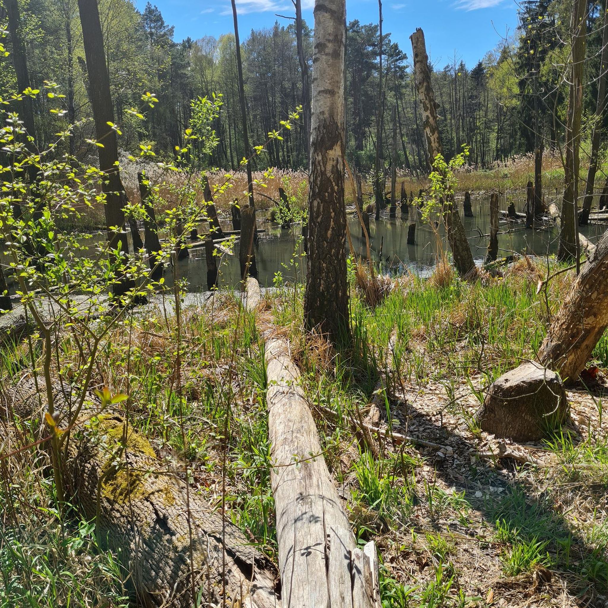
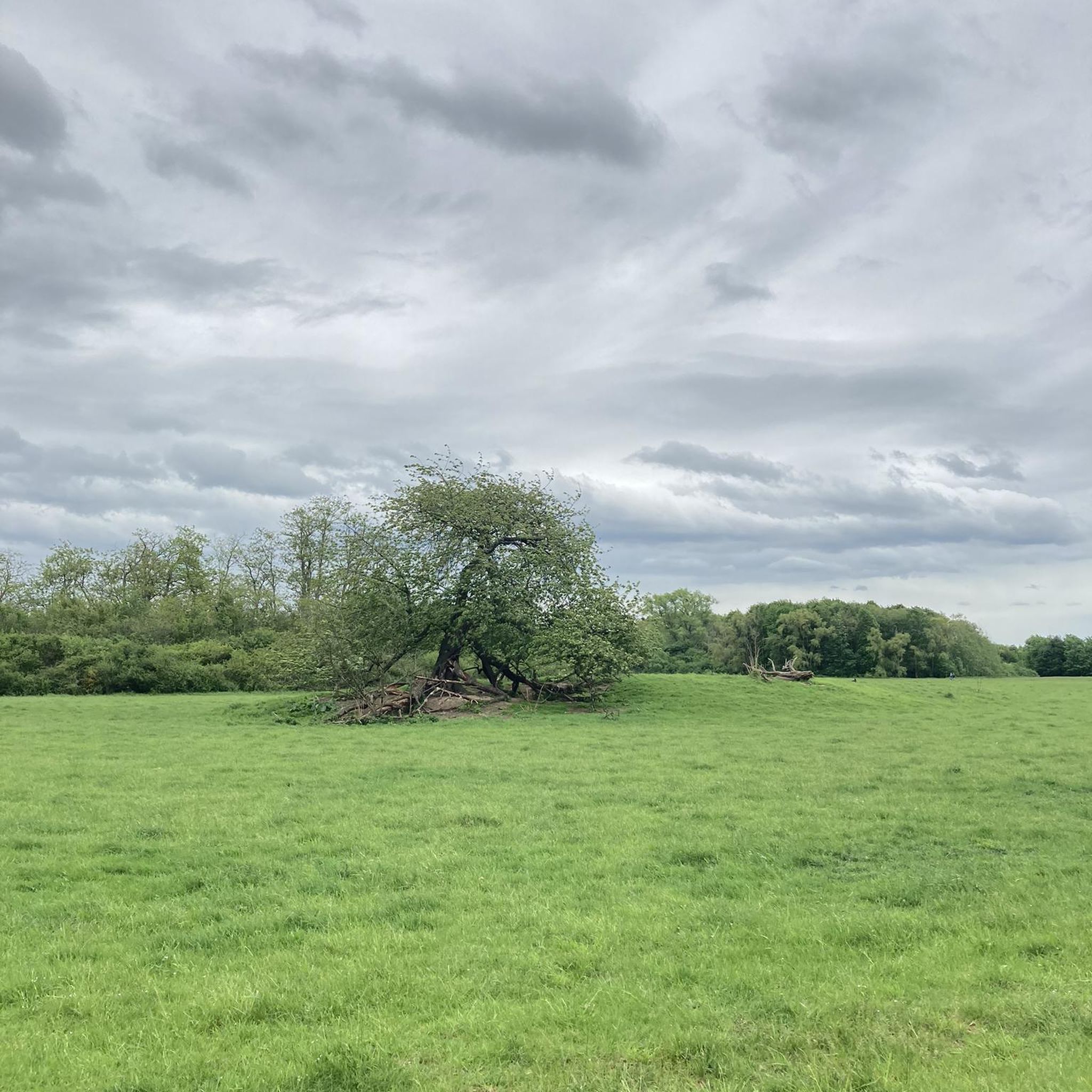
Gravel biking in Woodstock Nature Reserve offers routes through sensational bushland, characterized by grasslands and pristine countryside. The region features gentle hills and riverine landscapes, with natural river corridors supporting diverse plant and animal life. Riders can explore accessible paths along the Murrumbidgee River, providing varied terrain for no traffic gravel bike trails.
Best no traffic gravel bike trails in Woodstock Nature Reserve
- The most popular no traffic gravel bike trail is Gravel loop from District of Coree, a…
Last updated: May 28, 2026
4
riders
43.4km
03:54
860m
860m
Hard gravel ride. Very good fitness required. Mostly paved surfaces. Suitable for all skill levels.
5.0
(1)
11
riders
53.2km
04:28
1,120m
1,120m
Hard gravel ride. Very good fitness required. Mostly paved surfaces. Suitable for all skill levels.

Sign up for free
4.5
(2)
14
riders
30.5km
02:30
570m
570m
Hard gravel ride. Very good fitness required. Mostly paved surfaces. Suitable for all skill levels.
7
riders
73.5km
06:13
1,400m
1,400m
Hard gravel ride. Very good fitness required. You may need to push your bike for some segments of this route.
5.0
(3)
8
riders
20.4km
01:37
290m
290m
Moderate gravel ride. Good fitness required. Mostly paved surfaces. Suitable for all skill levels.
Our route recommendations are based on thousands of hikes, rides, and runs completed by other people on komoot.
Start today with a free account
Your next adventure awaits.
Login or Signup
Popular around Woodstock Nature Reserve
Tips from the Community

Great views from this lower section of trail and a picnic bench.
1
0
Canberra views and a picnic bench on this lower spot along the trails.
0
0
Great riverside campground, with hot showers. You’ll need to book your spot through the act parks website.
0
0

Great road ride from Canberra. If you want to climb further, ride your gravel bike and make your way to Picadilly Circus to enjoy a fantastic view.
0
0

Great vantage point of the Cotter Dam as you begin the road ascent towards Uriarra Xing
0
0
Frequently Asked Questions
How many no-traffic gravel bike trails are available in Woodstock Nature Reserve?
Woodstock Nature Reserve offers a selection of 4 dedicated no-traffic gravel bike trails. These routes are designed to provide an immersive experience through the region's unique bushland and riverine landscapes, ensuring a peaceful ride away from vehicular traffic.
What is the overall difficulty level of gravel biking in Woodstock Nature Reserve?
The gravel bike trails in Woodstock Nature Reserve are generally considered difficult. They often feature significant elevation changes and varied terrain, making them suitable for experienced riders looking for a challenging adventure. For example, the View of Black Mountain Tower – Creek Through Forest loop from Casuarina Sands includes over 1100 meters of elevation gain.
Are there any circular gravel bike routes in Woodstock Nature Reserve?
Yes, all the no-traffic gravel bike routes in Woodstock Nature Reserve are designed as circular loops. This allows you to start and finish your ride at the same point, making logistics easier. Examples include the Gravel loop from District of Coree and the View of Cotter Dam – Cotter Dam Spillway loop from Casuarina Sands.
What kind of scenery can I expect on the no-traffic gravel trails?
You can expect sensational bushland, pristine countryside, and riverine landscapes. The trails traverse grasslands and offer views over the Murrumbidgee River, particularly from spots like Shepherds Lookout. You'll also encounter diverse native flora and fauna, characteristic of the region's natural river corridors.
Are the gravel bike trails in Woodstock Nature Reserve suitable for families?
Given that all listed routes are rated as difficult with significant distances and elevation gains, they may not be ideal for all families, especially those with young children or beginners. These trails are better suited for experienced riders. However, the reserve does offer accessible paths and natural river corridors that might be suitable for shorter, less strenuous walks or rides on other multi-use trails.
What are some notable attractions or points of interest along the gravel routes?
While riding, you can experience the natural beauty of the Murrumbidgee River and its surroundings. The View of Black Mountain Tower – Creek Through Forest loop from Casuarina Sands offers distant views of Black Mountain Tower. Other routes, like the View of Cotter Dam – Cotter Dam Spillway loop from Casuarina Sands, provide scenic vistas of Cotter Dam and its spillway. You might also pass through areas with historical context, such as what was once an early European farm along Giorgio's Sandwash Track.
What do other gravel bikers enjoy most about the trails here?
The area is highly rated by the komoot community, with an average score of 4.1 out of 5 stars. Reviewers often praise the pristine countryside, the quiet, traffic-free nature of the routes, and the challenging yet rewarding terrain that offers a true escape into nature.
What is the best time of year for gravel biking in Woodstock Nature Reserve?
The reserve's diverse plant and animal life, including spring wildflowers, suggests that spring and autumn would be excellent times to visit, offering pleasant temperatures and vibrant scenery. Summer might be hot, while winter could bring cooler conditions, so checking local weather forecasts is always recommended.
Is parking available for gravel bikers at Woodstock Nature Reserve?
While specific parking locations for each route are not detailed here, routes often start from accessible points like Casuarina Sands or Uriarra Village, which typically have visitor parking facilities. It's advisable to check the starting point of your chosen route for specific parking information.
Are there any cafes or amenities near the gravel trails?
The region is characterized by its natural, undeveloped bushland. While the trails offer a remote experience, amenities like cafes or shops are not directly on the routes. It's recommended to carry all necessary supplies, including water and snacks, for your ride. You may find facilities in nearby towns or villages before or after your adventure.
What is the longest no-traffic gravel bike route in the reserve?
The longest no-traffic gravel bike route available is the View of Cotter Dam – Cotter Dam Spillway loop from Uriarra Village, which spans an impressive 105.5 kilometers with over 2400 meters of elevation gain, offering a full day's challenge for dedicated gravel cyclists.
Most popular routes in Woodstock Nature Reserve

Get inspired with the komoot mobile app


Explore more
Browse the best Gravel rides in other regions.
