Lindenhardter Forst-Südost
Lindenhardter Forst-Südost
The best road cycling routes around Lindenhardter Forst-Südost
4.6
(114)
1,681
riders
68
rides
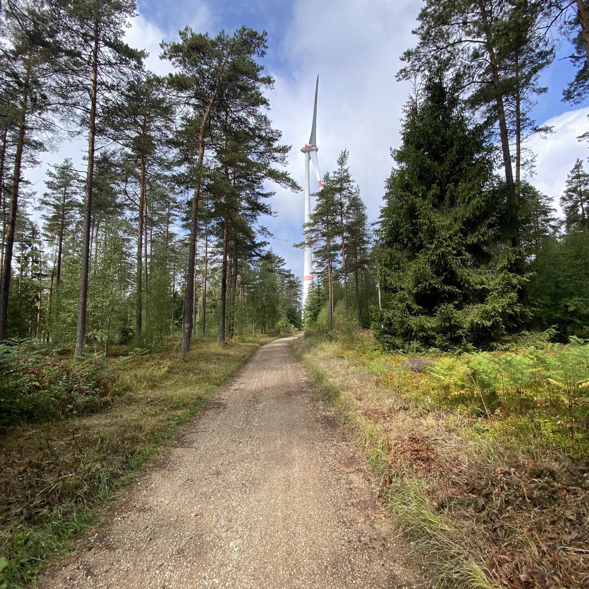
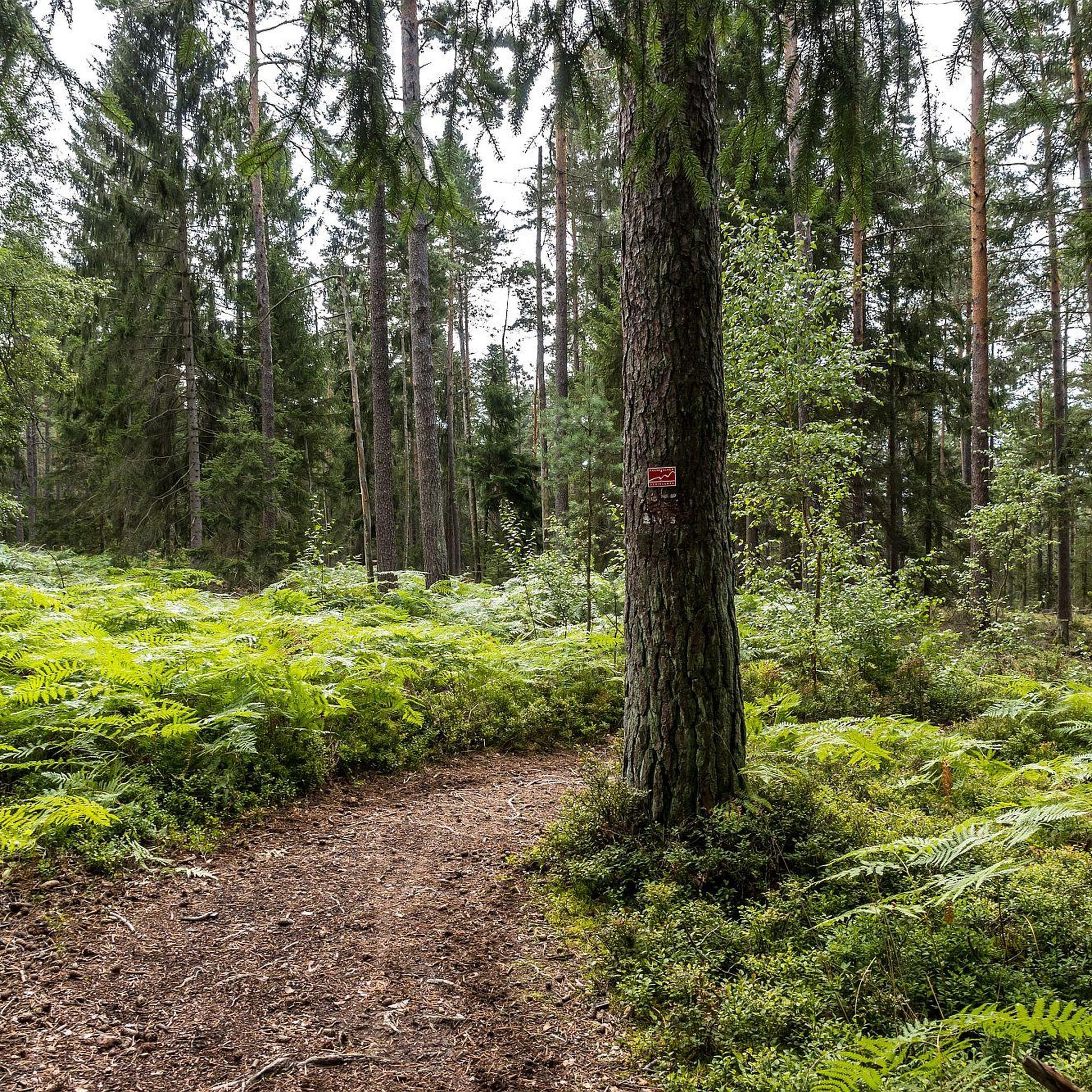
Road cycling routes around Lindenhardter Forst-Südost traverse a densely wooded area in Upper Franconia, Germany, characterized by varied topography. The region features an expansive forest with numerous accessible paths and connects to broader road cycling networks. Cyclists encounter diverse terrain, from flat sections to gentle gradients and more strenuous parts, including connections to the Main Cycle Route. The area's natural features include the Rotmainquelle, the source of the Red Main river.
Best road cycling routes around Lindenhardter Forst-Südost
- The most…
Last updated: November 10, 2026
4.5
(10)
169
riders
Easy road ride. Mostly well-paved surfaces and easy to ride.
4.9
(10)
116
riders
27.2km
01:17
210m
210m
Moderate road ride. Some segments of this route may be unpaved and difficult to ride.

5.0
(2)
27
riders
Moderate road ride. Good fitness required. Mostly well-paved surfaces and easy to ride.
5.0
(4)
23
riders
44.6km
02:35
430m
430m
Moderate road ride. Good fitness required. Some segments of this route may be unpaved and difficult to ride.
5.0
(2)
28
riders
52.9km
02:29
570m
570m
Moderate road ride. Good fitness required. Mostly well-paved surfaces and easy to ride.
Get access to more routes and recommendations from other explorers.
Already have an account?
Our route recommendations are based on thousands of hikes, rides, and runs completed by other people on komoot.
Start today with a free account
Your next adventure awaits.

Tips from the Community

very rewarding recreational area for Bayreuth and surroundings
0
0

Beautiful market square with historic town hall.
2
0

Is said to have originated during the Thirty Years' War!
0
0


The old town hall formerly served as a sales hall for bread and meat products, a frequently used dance floor, a prison (known as the "Narrenhäuslein"), a fire extinguisher's house, and a post office. Later, it housed the savings bank. Today, the old town hall houses the residents' registration office, the passport office, the assembly hall, and the wedding hall.
0
0

great rest area with a view of the Aufseßtal
0
1
at the Adalbert Hollfelder rest area
0
1

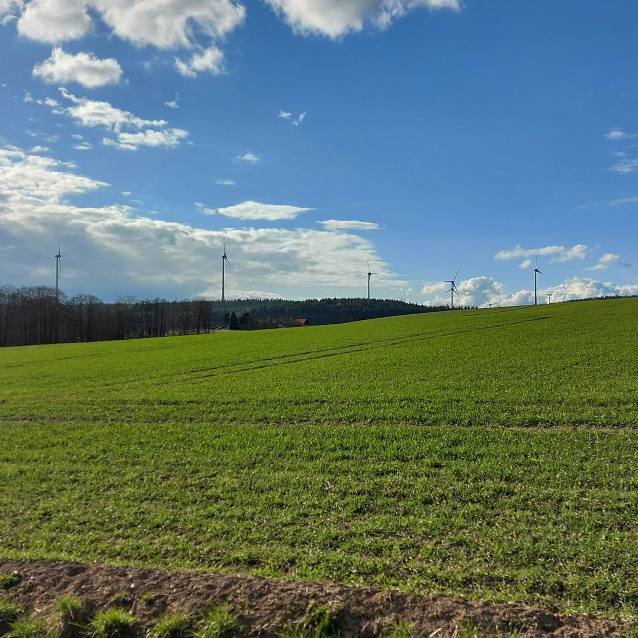
Top cycle path, great to ride and in the middle of nature.
1
0
Frequently Asked Questions
What kind of terrain can I expect on road cycling routes in Lindenhardter Forst-Südost?
The region offers a diverse cycling experience with varied topography. You'll find a mix of flat sections, gentle gradients, and some more strenuous parts with notable elevation gains. While the forest itself has some well-maintained gravel roads, the area connects seamlessly to extensive road cycling networks, including sections of the Main Cycle Route, which are approximately 90% asphalted and of excellent quality.
Are there road cycling routes suitable for beginners or those looking for an easier ride?
Yes, Lindenhardter Forst-Südost offers routes for various fitness levels. For an easier ride, consider the Hummeltal–Mistelgau Cycle Path – Cycle Path to Mistelbach loop from Hummeltal. This easy, 17.1-mile (27.5 km) route navigates through varied landscapes, connecting local villages with minimal elevation.
What are some challenging road cycling routes in the area?
For experienced cyclists seeking a challenge, routes with significant elevation gains are available. A difficult option is the Loreto Chapel Mehlmeisel – View of Rauher Kulm loop from Creußen (Oberfr), which covers 45.8 miles (73.7 km) and features over 1,000 meters of ascent.
What natural features or landmarks can I see along the road cycling routes?
The region is rich in natural beauty. A significant natural highlight is the Rotmain Spring, the source of the Red Main river, located directly within Lindenhardter Forst-Südost. You might also encounter the impressive Viertelstein Rock Formation near Mistelbach, a natural monument with distinctive honeycomb weathering.
Are there any historical or cultural points of interest near the cycling routes?
Beyond natural sights, you can explore historical attractions. The area around Lindenhardter Forst-Südost features several castles, such as the New Palace Bayreuth and the beautiful Fantaisie Castle Park, which are accessible from various routes.
What do other road cyclists enjoy most about cycling in Lindenhardter Forst-Südost?
The area is highly rated by the komoot community, with an average score of 4.5 stars from over 140 reviews. Cyclists often praise the diverse landscapes, the combination of dense woodlands and open sections, and the well-maintained network of paths that cater to different skill levels.
Are there any moderate-difficulty road cycling routes that offer a good mix of scenery?
Yes, many routes offer a balanced experience. The Mistelbach Cycle Path – Cycle Path to Mistelbach loop from Creußen (Oberfr) is a moderate 27.7-mile (44.6 km) path that provides a mix of terrain, including sections connecting to the well-maintained Main Cycle Route, offering varied scenery.
Can I find loop routes for road cycling in Lindenhardter Forst-Südost?
Many of the road cycling routes in the region are designed as loops, allowing you to start and end at the same point. For example, the Auerbach Town Square – Auerbach Market Square loop from Schnabelwaid is a 32.3-mile (52.0 km) loop that takes you through varied topography.
What is the best time of year for road cycling in Lindenhardter Forst-Südost?
The region is generally pleasant for road cycling from spring through autumn. The dense woodlands provide some shade during warmer months, and the varied terrain is enjoyable as the seasons change. Always check local weather conditions before heading out.
Are there options for longer road cycling tours in the area?
Absolutely. While many routes are suitable for day trips, the area's connection to broader networks like the Main Cycle Route allows for extended tours. For a longer, moderate ride, consider the Grenz-Zoigl Ranna – Weissenstein Rock Formation loop from Schnabelwaid, which spans 43.8 miles (70.6 km).
Is there public transport access to the road cycling routes in Lindenhardter Forst-Südost?
Access to the region's cycling routes via public transport varies. While specific routes might not have direct train or bus stops at their starting points, larger towns nearby, such as Creußen or Bayreuth, offer better public transport connections. From these towns, you can cycle to the forest's edge or specific route starting points.
Where can I find parking for road cycling in Lindenhardter Forst-Südost?
Parking is generally available at various access points around the Lindenhardter Forst-Südost, especially near the starting points of popular routes or in adjacent villages. Look for designated parking areas in towns like Hummeltal, Mistelgau, Creußen, or Schnabelwaid, which serve as common starting points for many tours.
Most popular routes around Lindenhardter Forst-Südost
Most popular attractions around Lindenhardter Forst-Südost

Get inspired with the komoot mobile app


Explore more
Browse the best Road cycling routes in other regions.
