The best hikes from bus stations around Bangor
4.5
(1179)
12,269
hikers
21
hikes
Bus station hiking trails around Bangor offer access to a diverse landscape characterized by urban forests, riverside paths, and unique wetland ecosystems. The region is situated on the Penobscot River, providing scenic backdrops for many trails. Hilly areas and glacial features are also present, offering varied terrain for outdoor activities.
Best bus station hiking trails around Bangor
- The most popular bus station hiking route is Britannia Bridge Lions loop from Menai Bridge, a 5.2 miles (8.4 km) trail that takes 2 hours 15 minutes to complete. This moderate route offers views of the Menai Strait and its iconic bridges.
- Another top favourite among local hikers is Menai Suspension Bridge – & Caws Cheesemonger loop from Bangor, an easy 4.1 miles (6.6 km) path. This route provides views of the historic Menai Suspension Bridge and follows parts of the Penobscot River.
- Local hikers also love the Porth Penrhyn Harbour – Cegin Viaduct loop from Bangor, a 3.3 miles (5.3 km) trail leading through urban and riverside areas, often completed in about 1 hour 24 minutes.
- Hiking around Bangor is defined by urban forests, riverside paths along the Penobscot River, and unique wetland ecosystems. The network offers options for different ability levels, from easy strolls to moderate excursions.
- The routes in Bangor are highly rated by the komoot community with an average score of 4.5 stars from over 1000 reviews. More than 11000 hikers have used komoot to explore Bangor's varied terrain.
Last updated: September 27, 2026
5.0
(1)
41
hikers
8.50km
02:16
100m
100m
Moderate hike. Good fitness required. Easily-accessible paths. Suitable for all skill levels.
4.0
(1)
52
hikers
5.94km
01:34
50m
50m
Easy hike. Great for any fitness level. Easily-accessible paths. Suitable for all skill levels.

3.0
(2)
39
hikers
7.51km
02:02
100m
100m
Moderate hike. Good fitness required. Easily-accessible paths. Suitable for all skill levels.
5.0
(1)
29
hikers
5.29km
01:24
50m
50m
Easy hike. Great for any fitness level. Easily-accessible paths. Suitable for all skill levels.
5.0
(1)
26
hikers
9.52km
02:33
110m
110m
Moderate hike. Good fitness required. Easily-accessible paths. Suitable for all skill levels.
Get access to more routes and recommendations from other explorers.
Already have an account?
Our route recommendations are based on thousands of hikes, rides, and runs completed by other people on komoot.
Start today with a free account
Your next adventure awaits.
Popular around Bangor
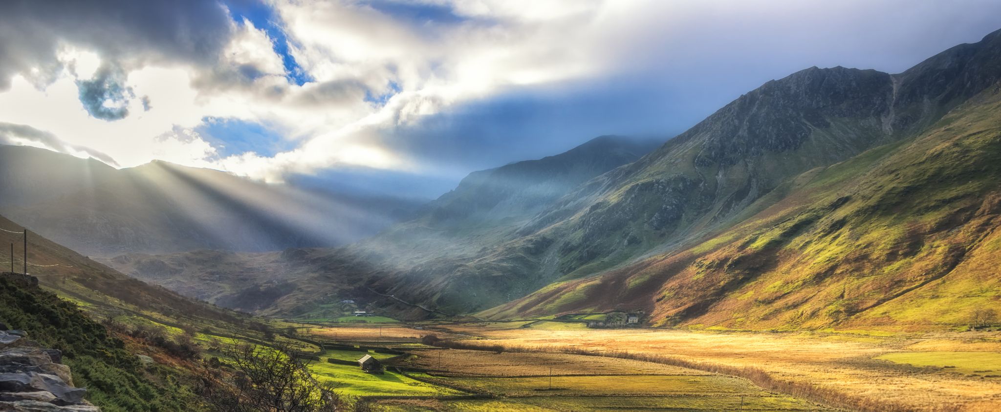
Snowdonia Slate Trail — Unearth one of Wales' most spectacular hikes
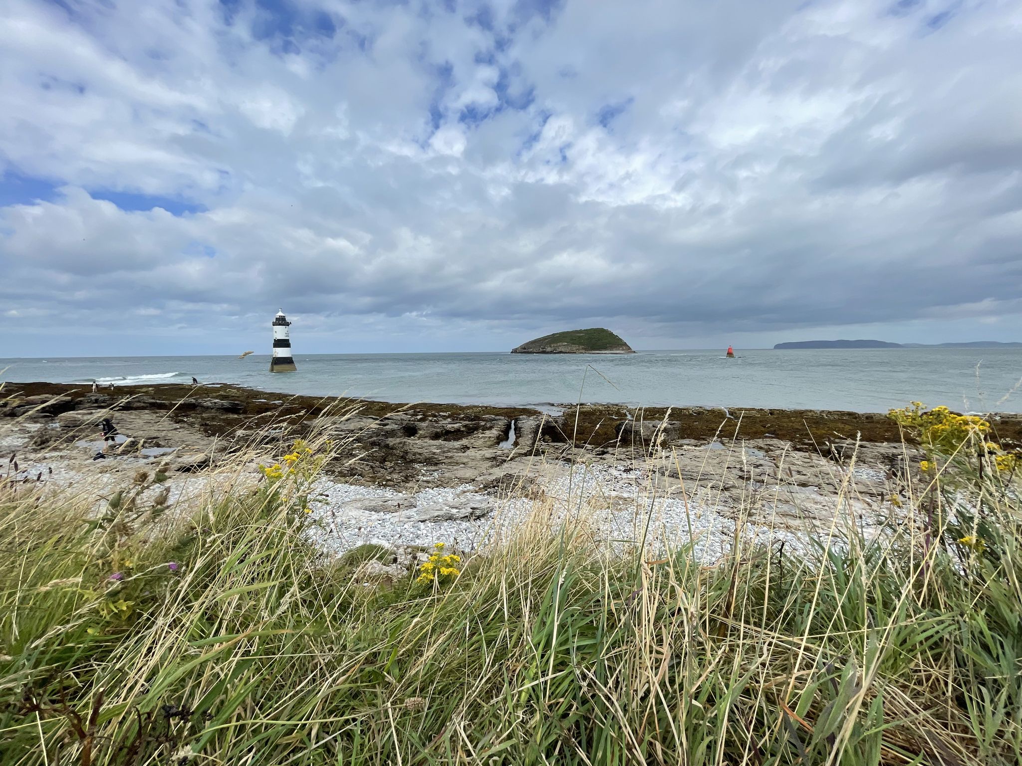
Cycling on Anglesey — in search of the wild on Wales' largest island
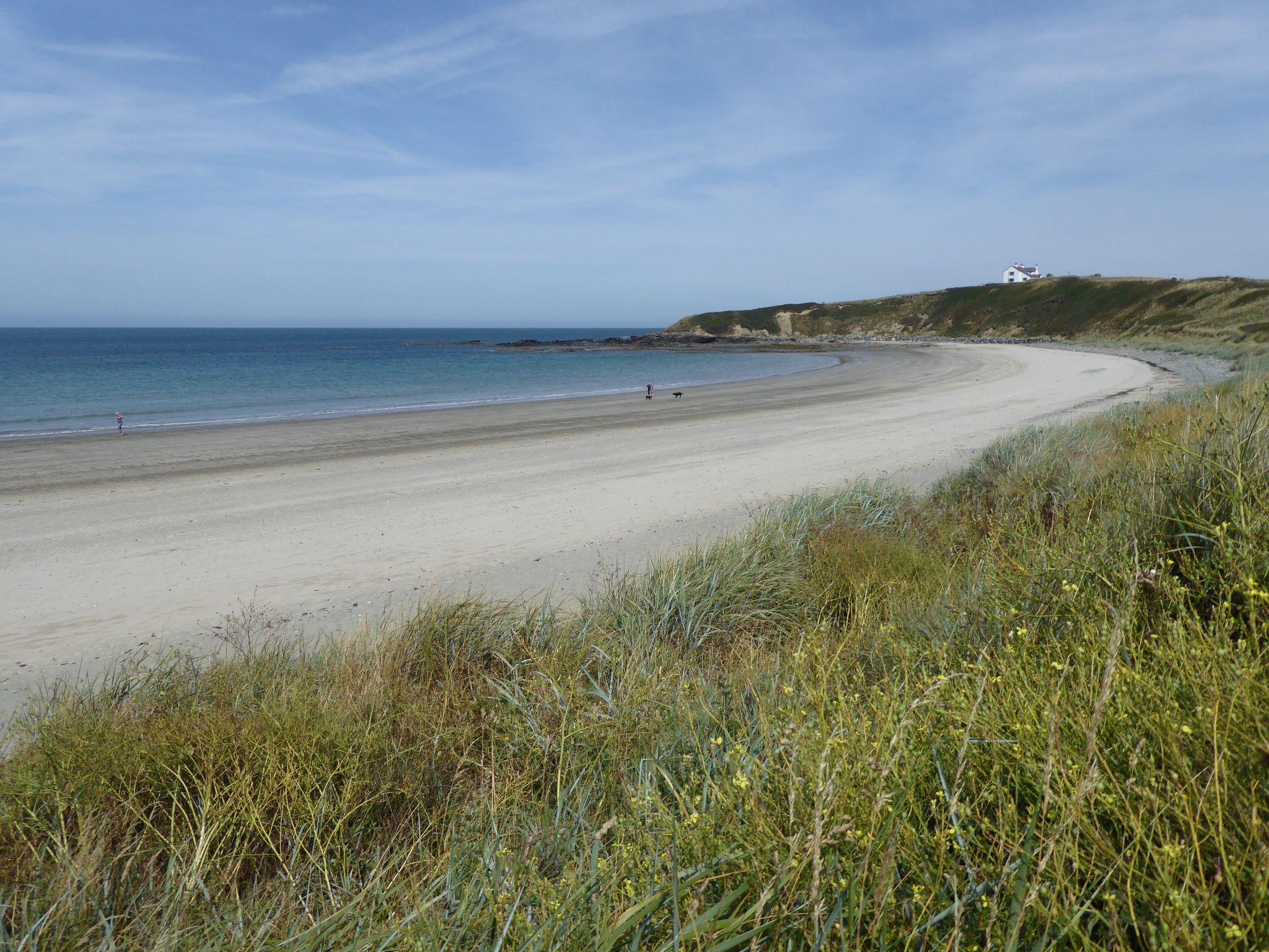
Cycling the North Wales Coastal Route – Ice cream & incredible views
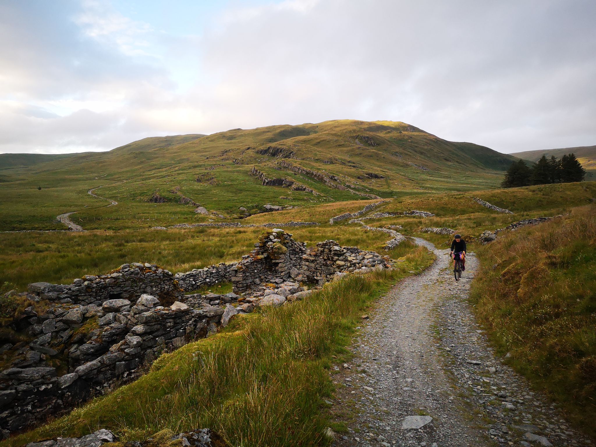
Wales North to South — Celtic rugged beauty by trail
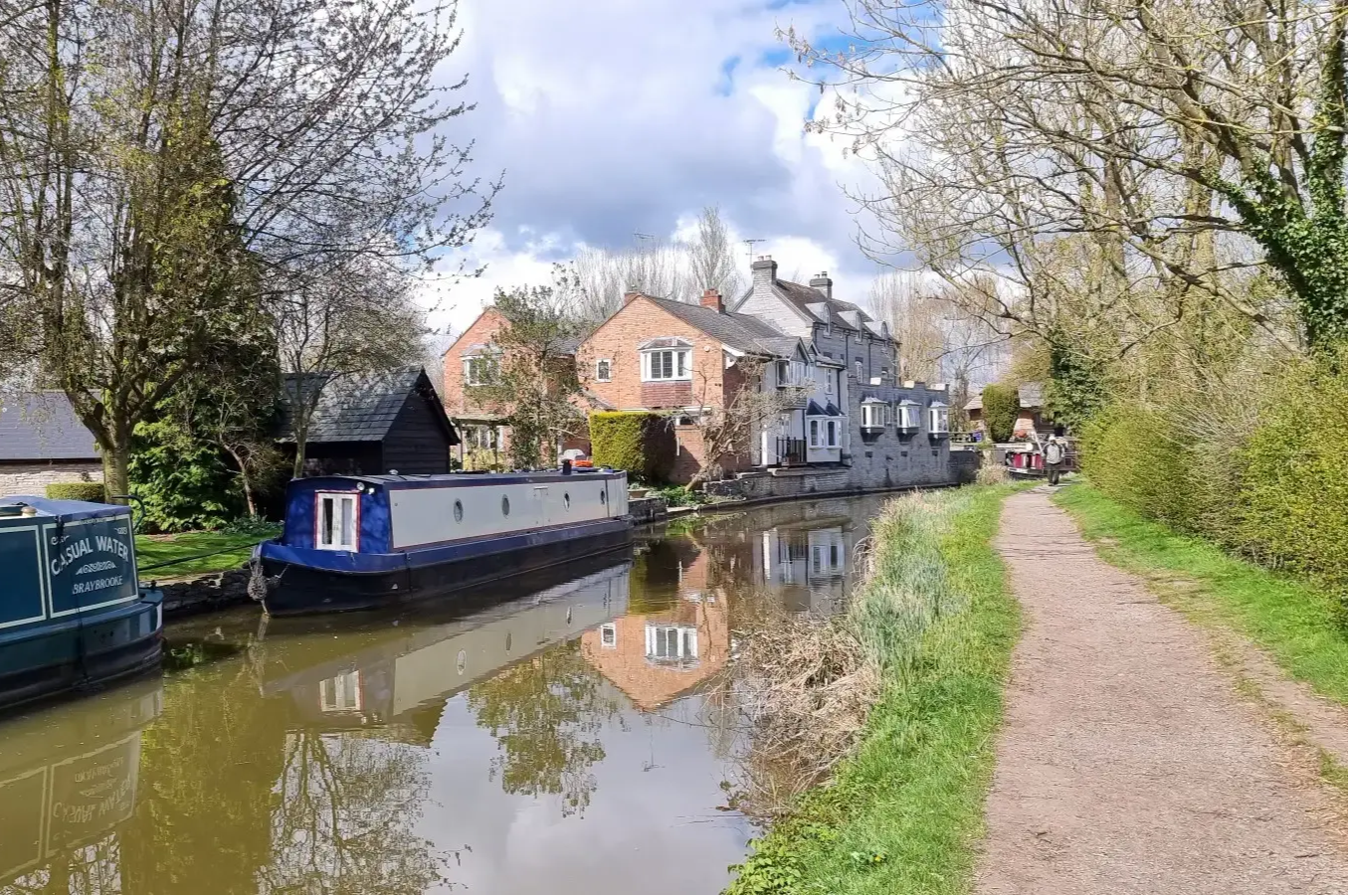
Industrial heartlands on NCN Route 5 – Reading to North Wales
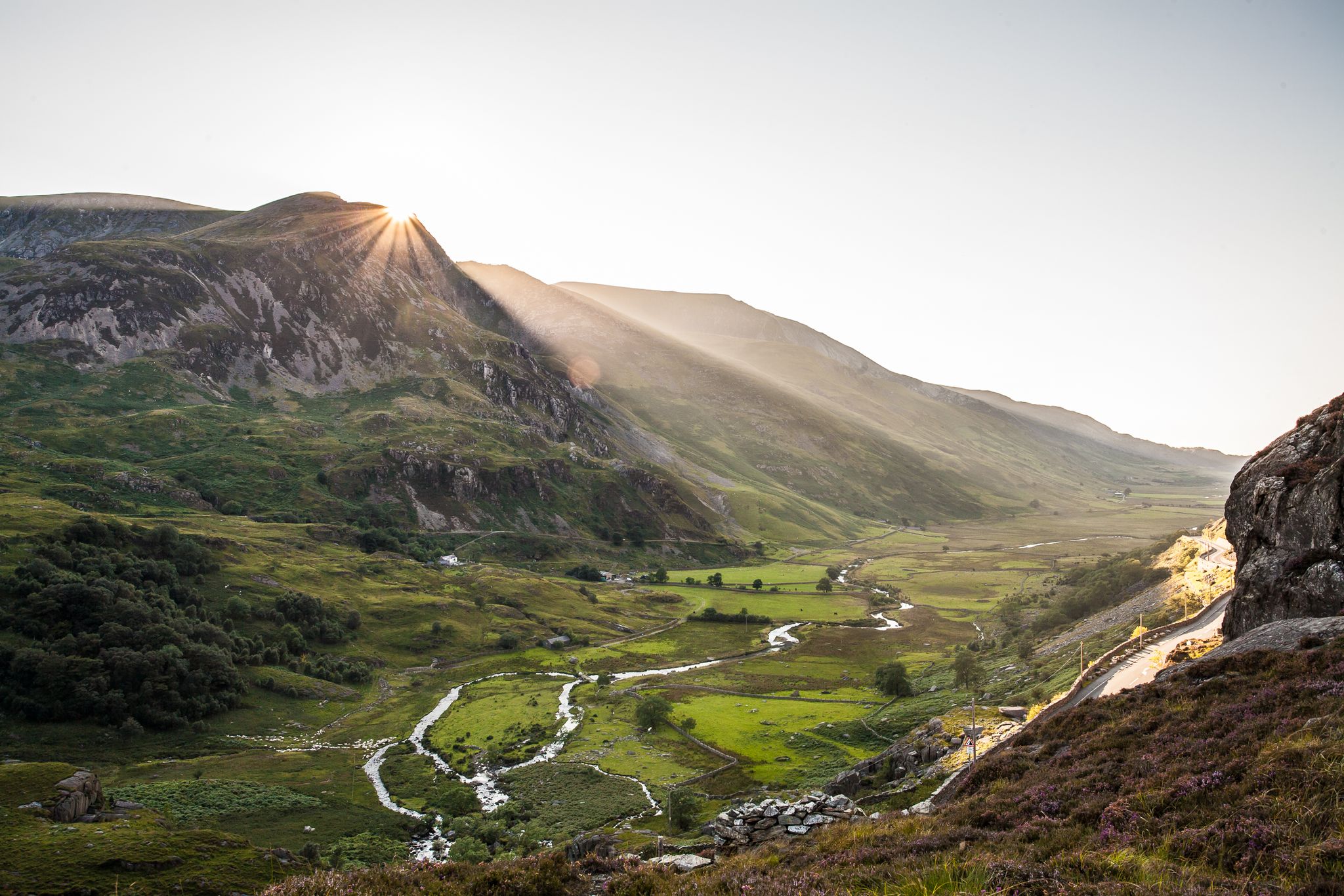
Mountain passes and river valleys — riding Route 82 in Wales
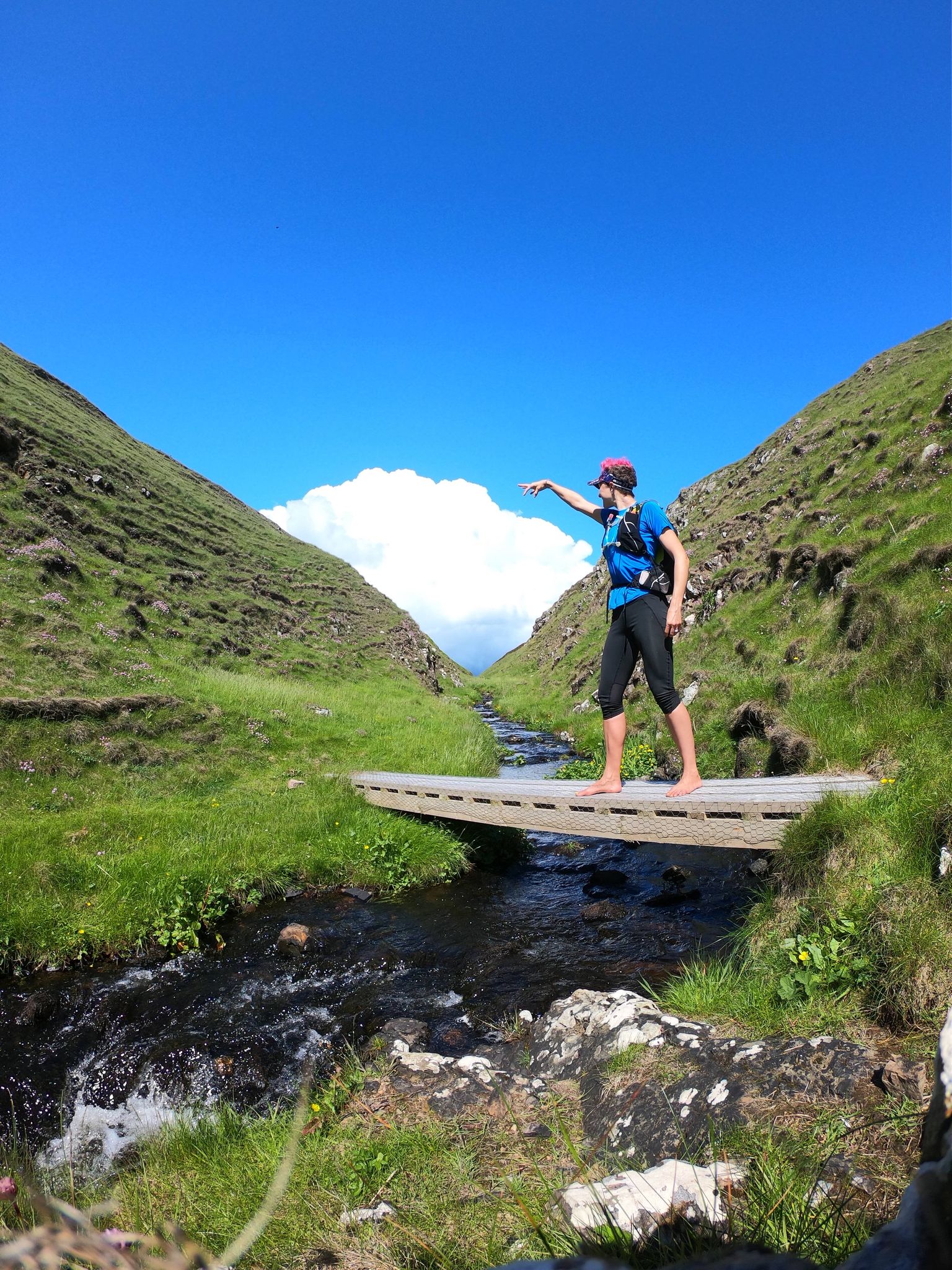
The best of Barefoot Britain — Awesome routes off the beaten track
Other adventures around Bangor


Tips from the Community

Railway viaduct on the Holyhead (on Anglessey) - Bangor - Conwy line
1
0
The path from the harbor towards Penrhyn Castle and on to Bethesda is a former railway bed, originally built specifically for the transport of slate from the local quarries. This stone bridge, known as Cegin Viaduct, commemorates that railway history. As the oldest known multi-arch railway bridge in Wales (built between 1798 and 1800), the viaduct is internationally important as a historic industrial monument and is listed (Grade II). The bridge has three arches, approximately 26 meters long between each abutment, 5 meters wide, and 3.2 meters high. Each arch has a span of 5 to 6 meters and a height of approximately 1.8 meters. The viaduct was thoroughly restored in 2015. Sources: ygc.cymru/project/cegin-viaduct-restoration-porth-penrhyn-bangor coflein.gov.uk/en/site/401047/
1
0
A bench on the chassis of a railway wagon for transporting slate, featuring scenes from the slate industry, serves as the official starting point of the Snowdonia Slate Trail (at least, that's what Aled Owen says in his Rucksack Reader about the trail). At the bench, you'll find an information board with a brief overview of the slate industry in Snowdonia.
1
0
Here you cross the mouth of the Cegin River into the Menai Strait. Here is Port Penrhyn, once a vital port for the export of slate from the Penrhyn Quarry, the largest slate quarry in the world at the end of the nineteenth century. The quarry and the harbour were connected by the Penrhyn Quarry Railway. This is also the starting point of the Snowdownia Slait Trail, a 134km loop that leads hikers through the history of the slate industry.
1
0

Sensational views from the bridge with a safe shared cycle/footpath over.
0
0

The best location for a view of the imposing and impressive bridge.
0
0
The old suspension bridge is definitely the more scenic way to enter Anglesey than the main bridge that carries the A55.
0
0

Anglesey is an island in Wales, off the mainland's northwest coast. It's known for its beaches and ancient sites. The island is accessed by the 19th-century Menai Suspension Bridge and the Britannia Bridge, rebuilt in the 20th century. In the medieval town of Beaumaris, 13th-century Beaumaris Castle has concentric fortifications and a moat. Beaumaris Gaol has Victorian punishment cells and an original tread wheel.
4
0
Frequently Asked Questions
How many bus-accessible hiking trails are there around Bangor?
There are over 25 hiking trails around Bangor that are easily accessible by bus, offering a convenient way to explore the region's natural beauty without a car. These routes cater to various preferences, from easy strolls to more moderate adventures.
What do other hikers enjoy about bus-accessible trails in Bangor?
The bus-accessible trails around Bangor are highly rated by the komoot community, with an average score of 4.5 stars. Hikers often praise the convenience of reaching diverse landscapes directly from public transport, enjoying the serene urban forests, riverside paths, and unique wetland ecosystems.
Are there easy bus-accessible hikes suitable for beginners in Bangor?
Yes, there are 17 easy bus-accessible hikes around Bangor perfect for beginners or those looking for a relaxed outing. These trails often feature gentle elevation changes and well-maintained paths, such as sections of the Kenduskeag Stream Trail or paths within the Bangor City Forest.
What kind of natural landscapes can I expect to see on bus-accessible hikes near Bangor?
Hikes accessible by bus in Bangor offer a diverse range of landscapes. You can explore serene urban forests, walk along the scenic Penobscot River, or experience unique wetland ecosystems like the Orono Bog Boardwalk. The region's blend of waterways and woodlands provides varied natural backdrops.
Are there any notable landmarks or attractions along these bus-accessible routes?
While the immediate bus-accessible routes focus on natural beauty, some trails offer views or proximity to historical sites. For example, the Menai Suspension Bridge – & Caws Cheesemonger loop from Bangor provides views of the iconic Menai Suspension Bridge. Further afield, you can find historical sites like Penrhyn Castle or explore the unique Penrhyn Quarry, though these might require additional travel beyond the immediate bus stop.
Can I find circular routes easily accessible by bus from Bangor?
Yes, many of the bus-accessible routes around Bangor are circular, allowing you to start and end your hike at the same bus stop. Examples include the Britannia Bridge Lions loop from Menai Bridge or the Porth Penrhyn Harbour – Cegin Viaduct loop from Bangor, which offer scenic loops with convenient public transport access.
Are there family-friendly hiking options accessible by bus in Bangor?
Absolutely! Many of the easy bus-accessible trails are perfect for families. The Orono Bog Boardwalk, for instance, is a 1-mile wheelchair-accessible wooden loop trail within the Bangor City Forest, offering an immersive and educational experience for all ages. Other urban forest trails also provide safe and enjoyable environments for family outings.
Can I bring my dog on these bus-accessible trails?
Many trails in the Bangor area, including those accessible by bus, are dog-friendly. Areas like the Bangor City Forest and sections of the Kenduskeag Stream Trail generally welcome leashed dogs. However, it's always best to check specific trail regulations before you go, especially for nature preserves or boardwalks, to ensure a pleasant experience for everyone.
How can I find bus routes to specific trailheads like Bangor City Forest or Orono Bog Boardwalk?
The Community Connector bus service provides routes to various points of interest, including areas near popular trailheads. For specific routes to Bangor City Forest or the Orono Bog Boardwalk, you can consult the City of Bangor Parks and Recreation website or the Community Connector's official site for detailed maps and schedules. Look for stops along Stillwater Avenue for Bangor City Forest and Tripp Drive for Orono Bog Boardwalk access.
Are there cafes or pubs near the Bangor bus station for before or after a hike?
Yes, the Bangor bus station (Community Connector Transit Center) is conveniently located downtown, putting you within walking distance of several cafes, restaurants, and pubs. You'll find various options to grab a coffee, a meal, or a refreshing drink before or after your bus-accessible hiking adventure.
What is the best time of year to hike these bus-accessible trails in Bangor?
The bus-accessible trails in Bangor can be enjoyed year-round, each season offering a unique experience. Spring brings lush greenery and blooming wildflowers, while summer is ideal for longer days and warmer weather. Autumn showcases stunning fall foliage, and winter offers opportunities for snowshoeing or quiet, snowy walks, especially in areas like the Bangor City Forest.
Are there any longer or more challenging bus-accessible hikes available?
While many bus-accessible routes are easy, there are 8 moderate trails for those seeking a bit more challenge. For instance, the Porth Penrhyn – Cegin Viaduct loop from Bangor offers a longer distance and slightly more elevation gain, providing a more extended and engaging hike while still being reachable by public transport.
Most popular routes around Bangor
Most popular attractions around Bangor

Get inspired with the komoot mobile app


Explore more
Browse the best Hikes in other regions.
