The best hikes from bus stations around Windermere
4.6
(6034)
46,329
hikers
125
hikes
Bus station hiking trails around Windermere offer access to a diverse landscape characterized by England's largest natural lake, surrounding fells, ancient woodlands, and picturesque tarns. The region features varied terrain, from gentle lakeside paths to more challenging climbs up elevated peaks. Rivers and waterfalls also contribute to the area's natural features, providing scenic backdrops for walks.
Best bus station hiking trails around Windermere
- The most popular bus station hiking route is Wansfell Pike summit – View of Windermere loop from…
Last updated: July 7, 2026
4.8
(394)
2,224
hikers
10.9km
03:40
530m
540m
Moderate hike. Good fitness required. Easily-accessible paths. Suitable for all skill levels.
4.7
(70)
715
hikers
8.92km
02:58
410m
410m
Moderate hike. Good fitness required. Easily-accessible paths. Suitable for all skill levels.

Sign up for free
4.7
(36)
381
hikers
19.9km
06:49
1,000m
1,000m
Hard hike. Very good fitness required. Easily-accessible paths. Suitable for all skill levels.
4.8
(19)
333
hikers
8.36km
02:53
360m
360m
Moderate hike. Good fitness required. Mostly accessible paths. Sure-footedness required.
4.3
(37)
246
hikers
9.40km
02:43
230m
230m
Moderate hike. Good fitness required. Easily-accessible paths. Suitable for all skill levels.
Get access to more routes and recommendations from other explorers.
Sign up for free
Already have an account?
Our route recommendations are based on thousands of hikes, rides, and runs completed by other people on komoot.
Start today with a free account
Your next adventure awaits.
Login or Signup
Popular around Windermere
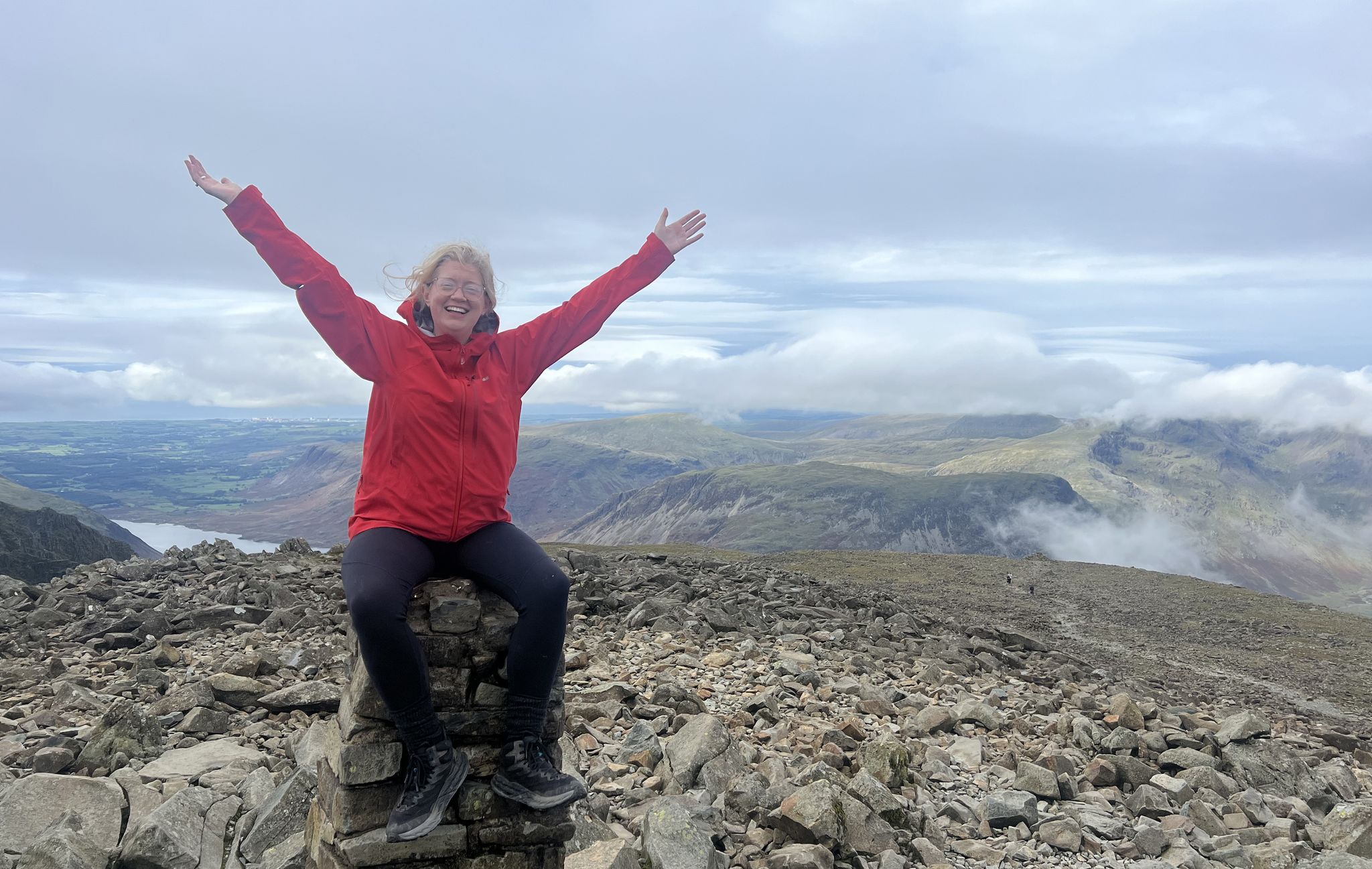
Lake District National Park – A Walk in the Parks
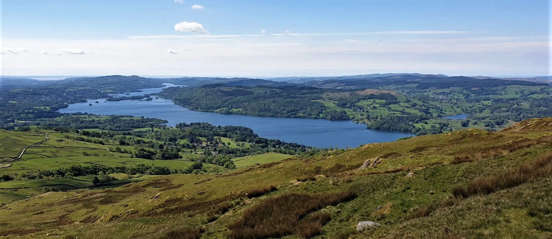
Windermere Way — Hike a poetic loop of a Lakeland legend
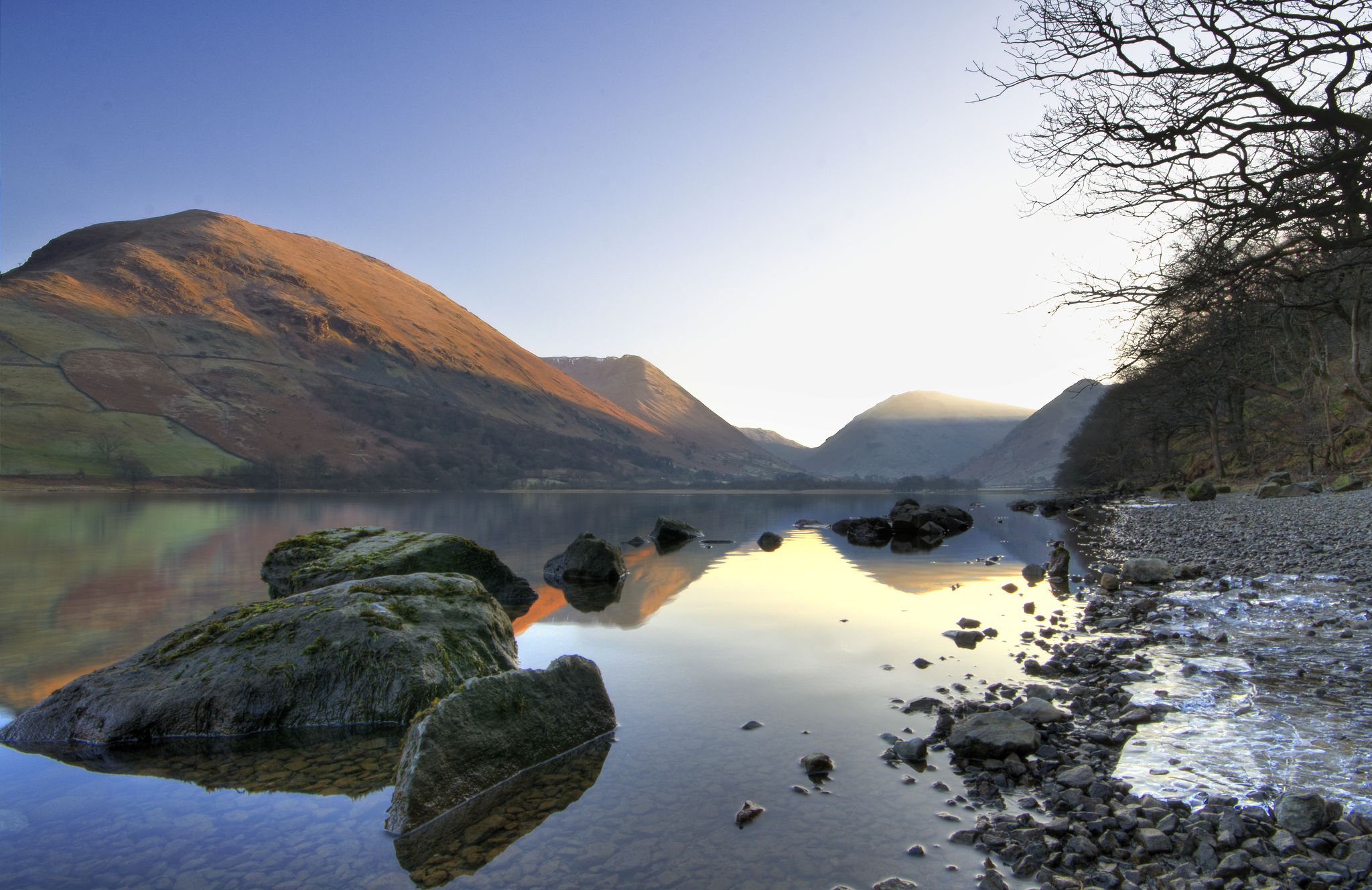
Lake to Lake Walk — Windermere to Kielder across the beautiful North
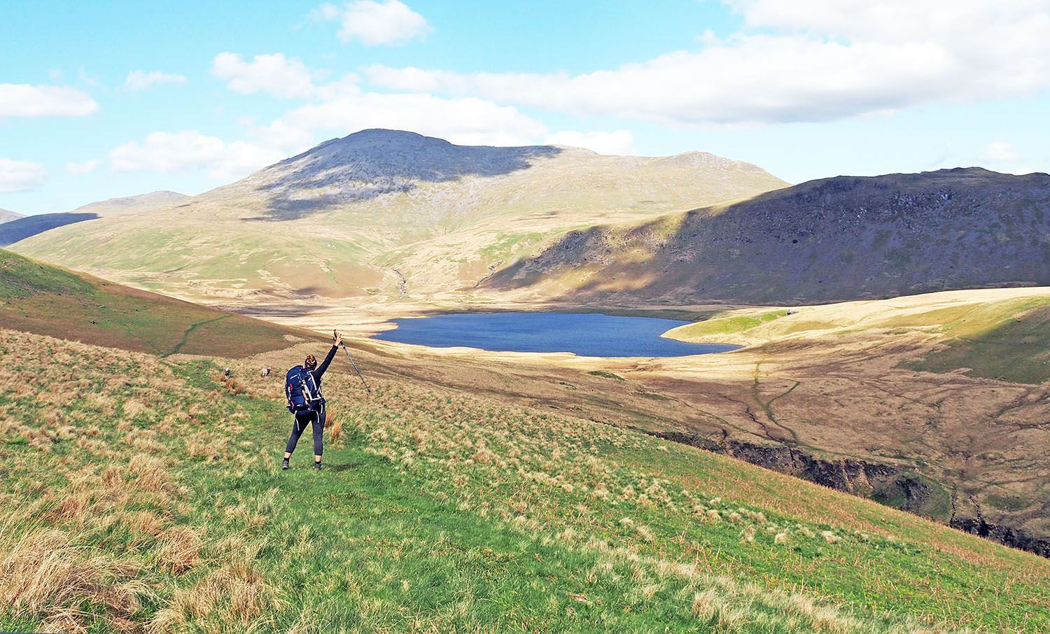
An English hiking dream – 8 days through the Lake District

Walk Britain – 90 car-free adventures in England, Wales and Scotland
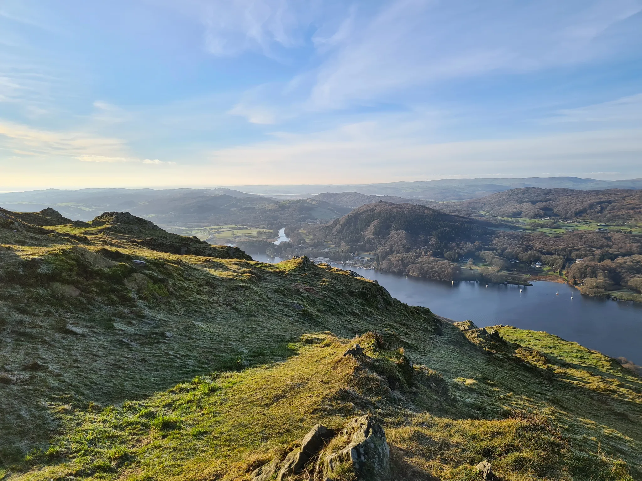
Beautiful beginner hikes in the Eastern Lake District
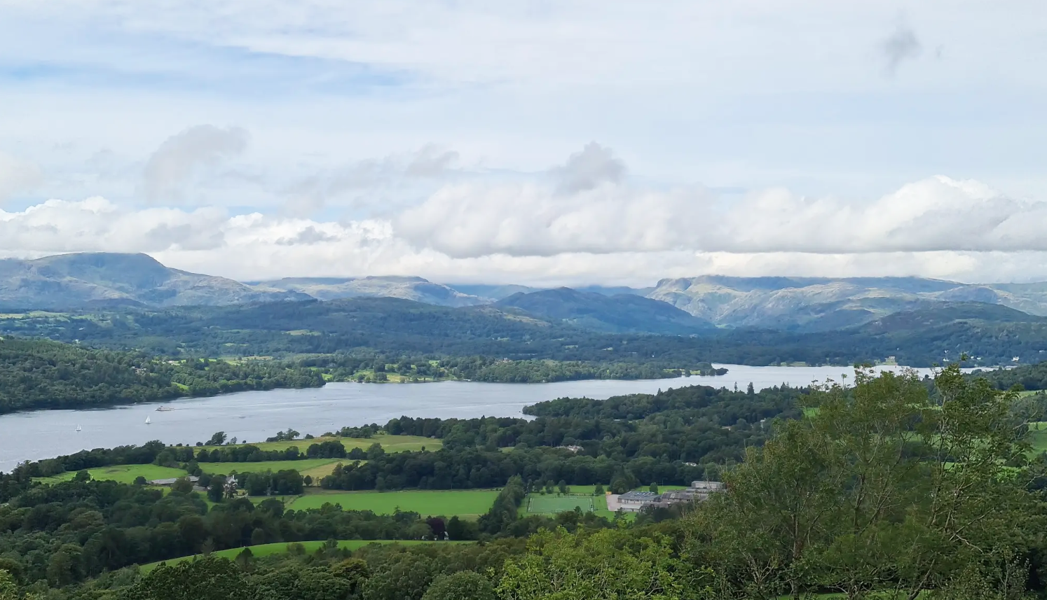
Beautiful walks in the Kendal region
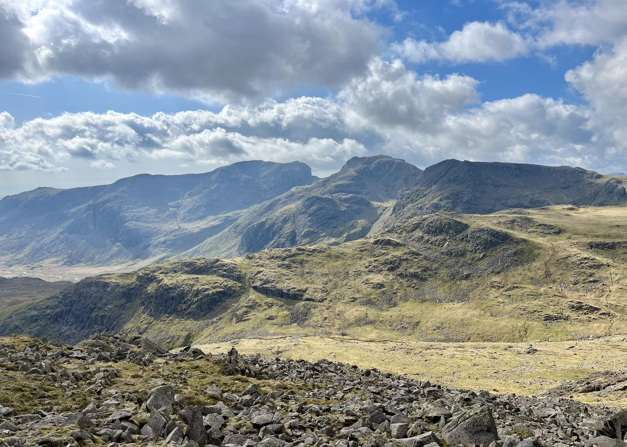
Spellbinding hikes in the Southern Lake District
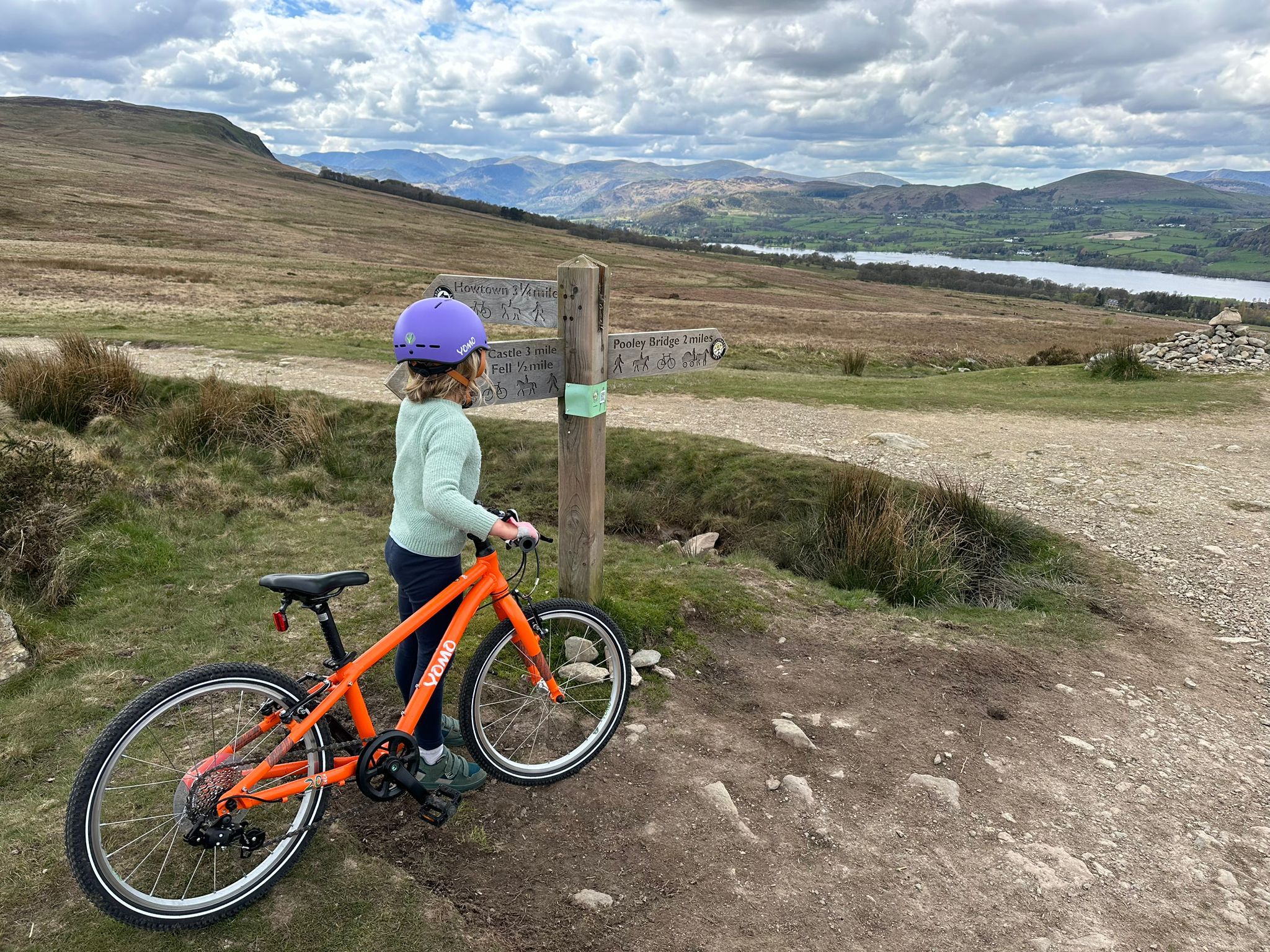
The best family-friendly bike rides in the Lake District

Gravel bike in the UK's wildest landscapes with Wild Cycles
Other adventures around Windermere


Tips from the Community


Troutbeck Tongue sits at 364 metres (1,194 feet) and is a super nice Wainwright fell that has a commanding position in the Troutbeck Valley. It is dwarfed by Froswick, III Bell and Yoke to the east. There is a small cairn of stones marking the summit, and from here you have fantastic views down the Troutbeck Valley. I am glad I came down to the summit from Froswick, where there is a gradual uphill to the top, as the hike up directly from the valley looks quite brutal.
0
0
Froswick sits at 720 metres (2,360 feet) and is a marvellous grassy pyramid-shaped fell. It doesn't have a rocky top, and the summit is marked by a small cairn. It is commonly hiked as part of the Kentmere Horseshoe. The best thing about it is that it is a non-technical peak, and there is a great trail running over the entire ridge. The views here are super nice looking out over the Kentmere Reservoir and the Troutbeck Valley.
0
0
Ill Bell is one of the nice summits of the Kentmere Horseshoe. At 760 metres (2,490 feet) it sits between Yoke and Froswick on easy ridges on a good trail. This section is a lumpy scenic roller coaster over great hills with grand views east and west. The summit has two large cairns, with the northern one being the summit.
0
0
Yoke sits at 706 metres (2,316 feet) and is a Nuttall and a Wainwright. Its summit is marked by a small pile of stones on a rocky outcrop. The trail running all along this ridge, taking in a number of great peaks, is super good and would make for a good fell run. The route forms part of the Kentmere Horseshoe.
0
0
Not far from Sour Howes is Sallows at a slightly higher elevation of 516 metres (1,693 feet). The summit is marked by a linear, rocky, grassy mound. There is also an OS plate nearby, but it is mounted at floor level so you will need to look for it.
0
0
Sour Howes, which reaches a height of 483 metres (1,585 feet), sits between Troutbeck and Kentmere. I wish I could say something positive about the views here, but today the weather was typically British, and for the first half of the walk we didn't see anything. A persistent drizzle spoilt the view but not the walk. There are good trails up from Troutbeck village and for most of the ridge all away to Froswick. There's not much on top of the summit of Sour Howes, there is a number of grassy mounds and knolls with a pile of small stones marking the highest point.
0
0
Baystones (Wansfell) Summit is a great little Wainwright to do from Ambleside. Don't mistake it for Wansfell Pike's top further along the ridge and closer to Ambleside. This is the official Wainwright summit and a great one at that. It might be only 486 metres high, but I managed to have a 600-metre hike day out of it with all the ups and downs. A great Wainwright with great views towards Kirkstone Pass and most of the Fairfield Horseshoe. All in all it is a super nice walk.
0
0
Frequently Asked Questions
How many hiking trails are accessible directly from bus stations around Windermere?
There are over 130 hiking trails around Windermere that you can start directly from a bus station, making it easy to explore the region without a car.
What is the best time of year to enjoy bus-accessible hikes in Windermere?
Spring, from April to June, is ideal for enjoying wildflowers, while autumn, from September to November, offers stunning colorful foliage. Both seasons provide excellent conditions for exploring the fells and lakeside paths.
Are there any easy or short walks suitable for beginners from Windermere bus stops?
Yes, Windermere offers many easy and short walks. For a gentle introduction, consider the High Dam Lake loop from Staveley-in-Cartmel, which is a moderate 9 km route with beautiful woodland scenery. The region also features numerous 'miles without stiles' routes, such as those along the Windermere Western Shore, perfect for a leisurely stroll.
Which bus-accessible routes offer the best panoramic views of Lake Windermere?
For breathtaking panoramic views, the Wansfell Pike summit loop from Jesus Church is highly recommended. This moderate 10.8 km hike takes you to the summit of Wansfell Pike, offering expansive vistas over Lake Windermere and the surrounding fells. Gummer's How also provides fabulous views up Windermere with less climbing.
Are there any family-friendly hiking options accessible by bus in Windermere?
Absolutely. Many routes are suitable for families. The Tarn Hows Circular Walk, though not directly listed in the provided routes, is a well-known easy and scenic option in the wider area. The Windermere Western Shore also offers flat, accessible walks. For interactive trails and activities, the Brockhole Lake District Visitor Centre is a great family destination, accessible by bus and offering various walking opportunities.
Can I find circular hiking routes that start and end at a bus station?
Yes, many of the bus-accessible routes are circular. For example, the Wansfell Pike summit loop from Jesus Church is a moderate 8.3 km circular hike. Another option is the High Dam Lake loop from Staveley-in-Cartmel, which is also a circular route, allowing you to return to your starting point easily.
What interesting natural features or landmarks can I see along these bus-accessible trails?
Windermere's bus-accessible trails offer a wealth of natural beauty. You can explore picturesque tarns like High Dam Lake, or enjoy views from fells such as Gummer's How and Brant Fell. The area is also rich in woodlands and offers glimpses of the vast Lake Windermere itself. While not directly on these routes, nearby attractions include Cathedral Cavern and Rydal Cave.
Are there any dog-friendly hiking trails accessible by bus in Windermere?
Many trails in the Lake District are dog-friendly, provided dogs are kept under control, especially around livestock. The woodland paths and lakeside walks, such as those around High Dam Lake or the Windermere Western Shore, are generally suitable for dogs. Always remember to check local signage for specific restrictions and keep your dog on a lead where necessary.
What do other hikers enjoy most about hiking from bus stations in Windermere?
The Windermere area is highly rated by the komoot community, with an average score of 4.6 stars. Reviewers often praise the convenience of accessing stunning trails without a car, the diverse landscapes ranging from lakeside strolls to fell climbs, and the well-maintained paths that make for an enjoyable experience.
Are there any more challenging bus-accessible hikes for experienced hikers?
Yes, for experienced hikers seeking a challenge, the Sour Howes – Ill Bell loop from Jesus Church is a difficult 19.8 km route with over 1000 meters of elevation gain. This trail offers a more strenuous experience with rewarding views across the fells.
Can I find routes that take me through woodlands or forests from a bus stop?
Certainly. The Windermere area is rich in ancient woodlands. The route to High Dam Lake, for instance, involves a splendid woodland path. The Wansfell Pike summit loop also takes adventurers through beautiful woodlands before reaching the open fells.
Most popular routes around Windermere
Most popular attractions around Windermere

Get inspired with the komoot mobile app


Explore more
Browse the best Hikes in other regions.
