The best hikes from bus stations around Alston Moor
4.4
(222)
1,567
hikers
21
hikes
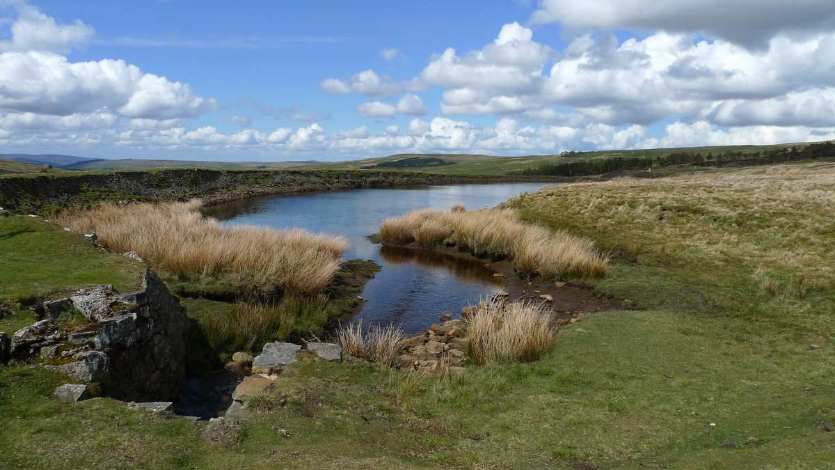
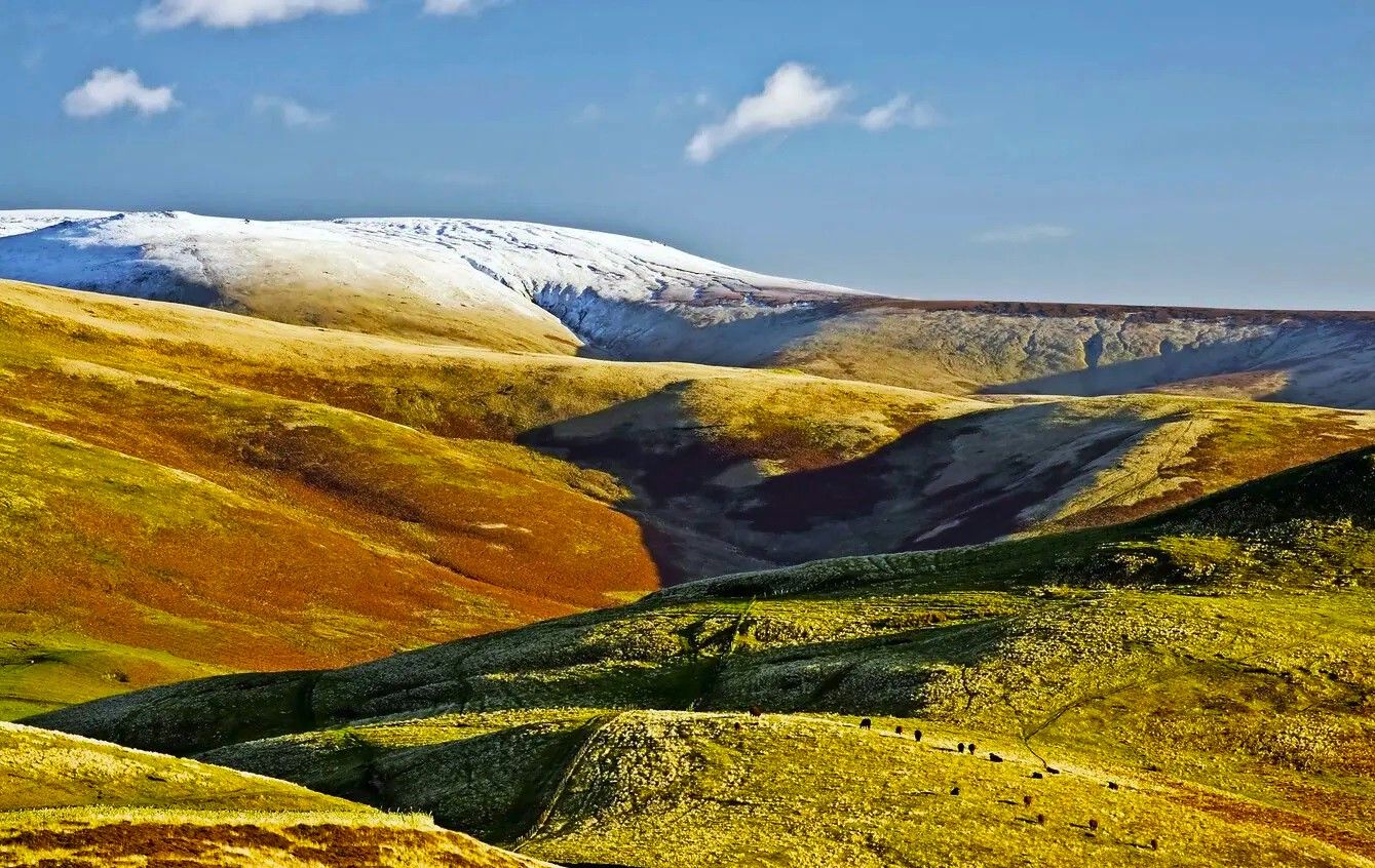
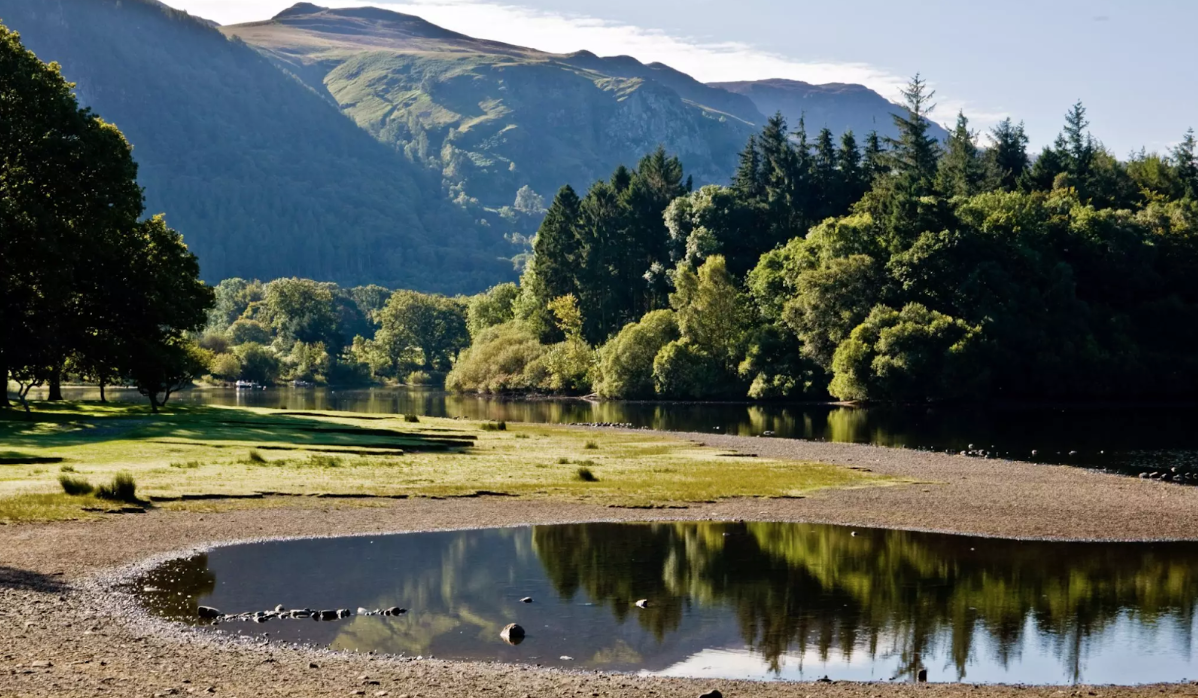
Bus station hiking trails around Alston Moor traverse the high Pennine fells and expansive moorland of the North Pennines Area of Outstanding Natural Beauty. The region features diverse landscapes including river valleys, waterfalls, and historical mining areas. Hikers encounter a mix of open terrain, rolling hills, and paths alongside waterways like the River South Tyne. The elevation changes are varied, offering routes from gentle riverside strolls to more sustained climbs across the fells.
Best bus station hiking trails around Alston…
Last updated: May 10, 2026
4.5
(2)
4
hikers
3.91km
01:05
70m
70m
Explore the Nenthead and its Mines loop, an easy 2.4-mile hike through historical mining landscapes and scenic North Pennines viewpoints.
4.6
(5)
39
hikers
Easy hike. Great for any fitness level. Easily-accessible paths. Suitable for all skill levels.

Sign up for free
5.0
(2)
39
hikers
13.5km
03:33
120m
120m
Moderate hike. Good fitness required. Easily-accessible paths. Suitable for all skill levels.
5.0
(2)
20
hikers
10.8km
02:57
160m
160m
Moderate hike. Good fitness required. Easily-accessible paths. Suitable for all skill levels.
3.7
(3)
22
hikers
Moderate hike. Good fitness required. Easily-accessible paths. Suitable for all skill levels.
Get access to more routes and recommendations from other explorers.
Sign up for free
Already have an account?
Our route recommendations are based on thousands of hikes, rides, and runs completed by other people on komoot.
Start today with a free account
Your next adventure awaits.
Login or Signup
Popular around Alston Moor

Other adventures around Alston Moor


Tips from the Community

Not the oldest churches in the world, but a very attractive one, and adds to the general ambience of Garrigill village, which is a peaceful haven to whittle away a few hours. As is normal these days, the church yard is overgrown with vegetation in order to conserve the local wildlife. The church is open all day if you want to talk to the boss!
1
0

Lovely view and photo opportunity from the bridge crossing
0
0

Whether you're walking or running through Nenthead or following the Isaac's Tea Trail, you might come across this delightful surprise: at one of the gardens at the edge of the village, there's a charming miniature town with meticulously detailed buildings.
1
0
In accordance with the village's altitude, this would be the highest parish church in England. Built in the mid-19th century, its construction was promoted by the London Lead Mining Company to serve the needs of the local community.
1
0

Located in a remote valley in the North Pennines, the Nenthead mines were once an industrial hub mining lead and zinc. The site has rare lichens and plants that are now growing in the metal-rich mine dumps. The mine is run by a team of volunteers who provide guided tours into the mines. To find out more information about the mine and the date of their next open day, visit: nentheadmines.com/category/open-days or call 07494 497868. They ask for a minimum donation of £5 per visitor which goes towards the mine's conservation.
0
1
At 457 meters above sea level, Nenthead is one of the highest villages in England. With a rich history of lead and silver mining, it once housed the most productive lead mine in the country.
1
0
In this church, built in the mid-18th century, you can find a large churchyard, as well as war memorials for both World Wars.
2
0

You will only see this if you are walking to Alston. If you are walking away you’ll need to turn around to find it on the trunk
1
0
Frequently Asked Questions
How many bus station hiking trails are available in Alston Moor?
There are over 20 hiking trails around Alston Moor that are easily accessible from bus stations. These routes offer a variety of experiences, from easy strolls to more challenging treks, allowing you to explore the region without a car.
What kind of terrain can I expect on bus-accessible hikes in Alston Moor?
The trails around Alston Moor offer diverse terrain, reflecting the region's character as part of the North Pennines AONB. You can expect expansive open moorland, fells, and picturesque river valleys. Some routes follow historical mining paths, while others lead through more rugged landscapes with tumbling mountain streams. Elevation changes vary, with options ranging from relatively flat paths to more undulating routes.
Are there any easy, family-friendly walks from bus stops in Alston Moor?
Yes, Alston Moor offers several easy and family-friendly walks accessible from bus stations. For example, the Nenthead and its Mines loop is a relatively short and easy option, allowing families to explore the area's mining heritage. Another gentle choice is the River Nent Waterfall – Alston Cobbles on Front Street loop from Alston, which offers pleasant riverside views.
Can I find circular routes that start and end at a bus station?
Many of the bus-accessible routes in Alston Moor are designed as circular walks, allowing you to return to your starting point without needing additional transport. Examples include the Nenthead and its Mines loop and the Carved Face in Tree Trunk – St. John's Church, Garrigill loop from Alston, which offer varied distances and difficulties while ensuring you finish where you began.
Are there any waterfalls visible from bus-accessible hiking trails?
Absolutely! Alston Moor is known for its impressive waterfalls. The River Nent Waterfall – Alston Cobbles on Front Street loop from Alston will take you past the beautiful River Nent Waterfall. Further afield, but still within the region, you can find spectacular falls like Ashgill Force, where it's even possible to walk behind the cascading water, and Cauldron Snout Waterfall.
What historical sites or landmarks can I explore on these hikes?
Alston Moor has a rich history, particularly its lead and zinc mining heritage. The Nenthead and its Mines loop offers a direct connection to this past, with opportunities to see industrial remains. You can also find trails that pass by the Alston Market Cross and the South Tynedale Railway, providing glimpses into the area's historical significance.
What do other hikers say about the bus-accessible trails in Alston Moor?
The hiking community highly rates the trails around Alston Moor, with an average score of 4.4 stars. Reviewers often praise the varied terrain, the stunning natural beauty of the North Pennines, and the convenience of accessing routes directly from public transport stops. Many appreciate the sense of wild serenity and the well-maintained paths.
Are there any viewpoints or panoramic vistas along these routes?
Yes, Alston Moor, being part of the high Pennines, offers numerous opportunities for breathtaking views. While specific bus-accessible routes may vary, the region itself provides panoramic vistas across the Eden Valley, towards the Lake District, and even Scotland from higher points like Cross Fell. You can find viewpoints such as Hartside Summit Descent and Garrigill to Nenthead Road Climb and Views, which showcase the expansive landscapes.
What is the best time of year to hike in Alston Moor from a bus station?
The best time to hike in Alston Moor generally depends on your preferences. Spring and summer offer milder weather, vibrant flora, and longer daylight hours, making them ideal for exploring. Autumn brings stunning colors to the landscape. While winter can be beautiful, conditions can be challenging with snow and ice, especially on higher ground, so appropriate gear and caution are essential. Always check local weather forecasts before heading out.
Are dogs allowed on the bus-accessible hiking trails in Alston Moor?
Many trails in Alston Moor are dog-friendly, allowing you to enjoy the outdoors with your canine companion. However, as much of the area is working farmland and a designated AONB, it's crucial to keep dogs under close control, especially near livestock. Always follow the Countryside Code, and be aware that some specific areas or nature reserves might have restrictions or require dogs to be on a lead.
What should I wear or bring for a bus station hike in Alston Moor?
Given the varied and often exposed nature of the North Pennines, it's wise to be prepared. We recommend wearing sturdy, waterproof hiking boots, dressing in layers to adapt to changing weather, and carrying waterproof outer shells. Essential items include a map and compass (or a fully charged GPS device), sufficient water and snacks, and a first-aid kit. Even on shorter walks, conditions can change quickly.
Most popular routes around Alston Moor
Most popular attractions around Alston Moor

Get inspired with the komoot mobile app


Explore more
Browse the best Hikes in other regions.
