The best traffic-free bike rides around Blairgowrie And Rattray
4.6
(61)
1,918
riders
15
rides
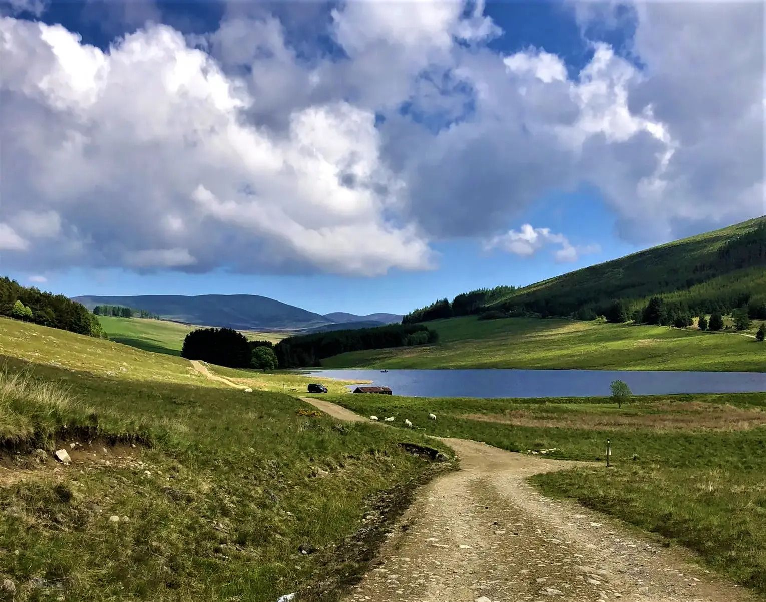
Road cycling around Blairgowrie And Rattray offers diverse terrain, situated at the foot of the Grampian Mountains and on the Highland Boundary fault. The region features rolling hills, extensive woodlands, and routes alongside the River Ericht, providing varied backdrops for cyclists. Open countryside and farmlands offer views towards the wider Strathmore area, with many quieter roads connecting local towns. This geological setting provides a mix of gentle paths and more challenging gradients suitable for road cycling.
Best no traffic road…
Last updated: July 20, 2026
10
riders
Moderate road ride. Good fitness required. Some segments of this route may be unpaved and difficult to ride.
5
riders
Moderate road ride. Good fitness required. Mostly well-paved surfaces and easy to ride.
Moderate road ride. Good fitness required. Mostly well-paved surfaces and easy to ride.
Get access to more routes and recommendations from other explorers.
Sign up for free
Already have an account?
Our route recommendations are based on thousands of hikes, rides, and runs completed by other people on komoot.
Start today with a free account
Your next adventure awaits.
Login or Signup
Popular around Blairgowrie And Rattray

Other adventures around Blairgowrie And Rattray

Tips from the Community

A pleasant town with the expected shops etc. A good location for a planned break.
0
0
Not sure about the forest bit but its a pleasant enough ride.
0
0
You can gain access through the locked gate - ask a local person about the key.
0
0
Well, it's an excuse for a stop to catch your breath when cycling north and upwards. In a field a few metres from the road.
0
0

Kynballoch Stone, one of the area's largest megaliths, stands 2.5m high with a 6m base circumference. Also known as the Craighall or Glenballoch Stone, it lies just south of Drimmie Woods. Its east face bears nine enigmatic cup marks, inspiring countless theories. Nearby, the remains of a Bronze Age stone circle suggest a long history of ritual activity.
0
0
Flamborough Head is a promontory is a chalk headland with sheer white cliffs. The cliff top has two standing lighthouse towers, the oldest dating from 1669 and Flamborough Head Lighthouse built in 1806.
0
0
The Alyth Arches are three imposing stone arches from a 16th-century extension to the old parish church in Alyth, Scotland, which was abandoned in 1839. The site is believed to have housed the first Christian church in Alyth, founded in the 6th century by St. Moluag. Remnants of a 13th-century stone church are still visible, alongside a medieval graveyard with notable memorials, including the Ramsay family burial chapel. One Ramsay family member died in a historic duel with James Macrae. The site is currently not open to the public.
0
0
Frequently Asked Questions
How many no-traffic road cycling routes are available in Blairgowrie and Rattray?
There are 16 dedicated no-traffic road cycling routes around Blairgowrie and Rattray. These routes range from easy to moderate difficulty, offering options for various fitness levels.
What kind of terrain can I expect on no-traffic road cycling routes in Blairgowrie and Rattray?
The region offers a diverse landscape for no-traffic road cycling. You'll find routes traversing rolling hills, extensive woodlands, and paths alongside the serene River Ericht. Many routes also pass through open countryside and farmlands, providing views towards the wider Strathmore area and the Grampian Mountains.
Are there any family-friendly no-traffic road cycling routes?
Yes, there are 7 easy-rated no-traffic road cycling routes that are suitable for families. These routes typically feature gentler gradients and quieter lanes, perfect for a relaxed outing. While specific family-focused routes aren't detailed here, the easier options provide a good starting point.
What are some popular no-traffic road cycling loops around Blairgowrie and Rattray?
You can enjoy several scenic loops. One popular option is the Blairgowrie Town Centre – Blairgowrie Bridge loop, which covers about 26 km. Another moderate route is the Alyth Packhorse Bridge – Alyth Town Centre loop, spanning approximately 43 km.
What can I see along the no-traffic road cycling routes?
Many routes offer opportunities to see natural and historical landmarks. You might pass by sites like Cargill's Leap, the picturesque Alyth Packhorse Bridge, or enjoy views from spots like King's Seat, Birnam Hill. The region is rich in woodlands and river scenery, especially along the River Ericht.
What do other road cyclists enjoy most about no-traffic cycling in Blairgowrie and Rattray?
The no-traffic road cycling routes in Blairgowrie and Rattray are highly rated by the komoot community, with an average score of 4.65 out of 5 stars from 61 ratings. Cyclists often praise the peacefulness of the quiet country lanes, the beautiful natural scenery, and the variety of routes available for different skill levels.
Are there any cafes or places to stop for refreshments on these routes?
Yes, some routes incorporate stops at local establishments. For example, the Peel Farm Café and Farm Shop – Wee Bear Cafe loop is a longer route designed to include refreshment stops, offering a chance to refuel and enjoy local treats.
What is the best time of year for no-traffic road biking in Blairgowrie and Rattray?
Spring, summer, and early autumn generally offer the most pleasant conditions for road cycling in Blairgowrie and Rattray. The weather is milder, and the natural landscapes are at their most vibrant. While routes are accessible year-round, checking local weather conditions is always advisable, especially during winter months.
Are there any specific natural features or monuments to look out for?
Absolutely. The area is known for its natural beauty. Keep an eye out for the wooded banks of the River Ericht, the geological Highland Boundary fault, and natural monuments such as Mill Dam Lochan. The region also offers views towards the distant Cairngorm Mountains from higher points like Alyth Hill Summit.
Can I find routes that offer panoramic views?
Yes, several areas provide excellent panoramic views. Alyth Hill Summit offers extensive views of Strathmore, the Sidlaw Hills, and the distant Cairngorm Mountains. Additionally, Kinpurney Tower, an 18th-century observatory, is situated on a prominent hill and provides sweeping vistas of the surrounding landscape.
How long do the no-traffic road cycling routes typically take?
The duration varies significantly depending on the route length and your pace. For example, a moderate route like the Blairgowrie Town Centre – Blairgowrie Bridge loop (26 km) can take around 1 hour 40 minutes, while longer routes such as the Peel Farm Café and Farm Shop – Wee Bear Cafe loop (62 km) might take over 3 hours.
Most popular routes around Blairgowrie And Rattray
Most popular attractions around Blairgowrie And Rattray

Get inspired with the komoot mobile app


Explore more
Browse the best Road cycling routes in other regions.
