The best hikes from bus stations around Bonnybridge
4.6
(386)
4,452
hikers
12
hikes
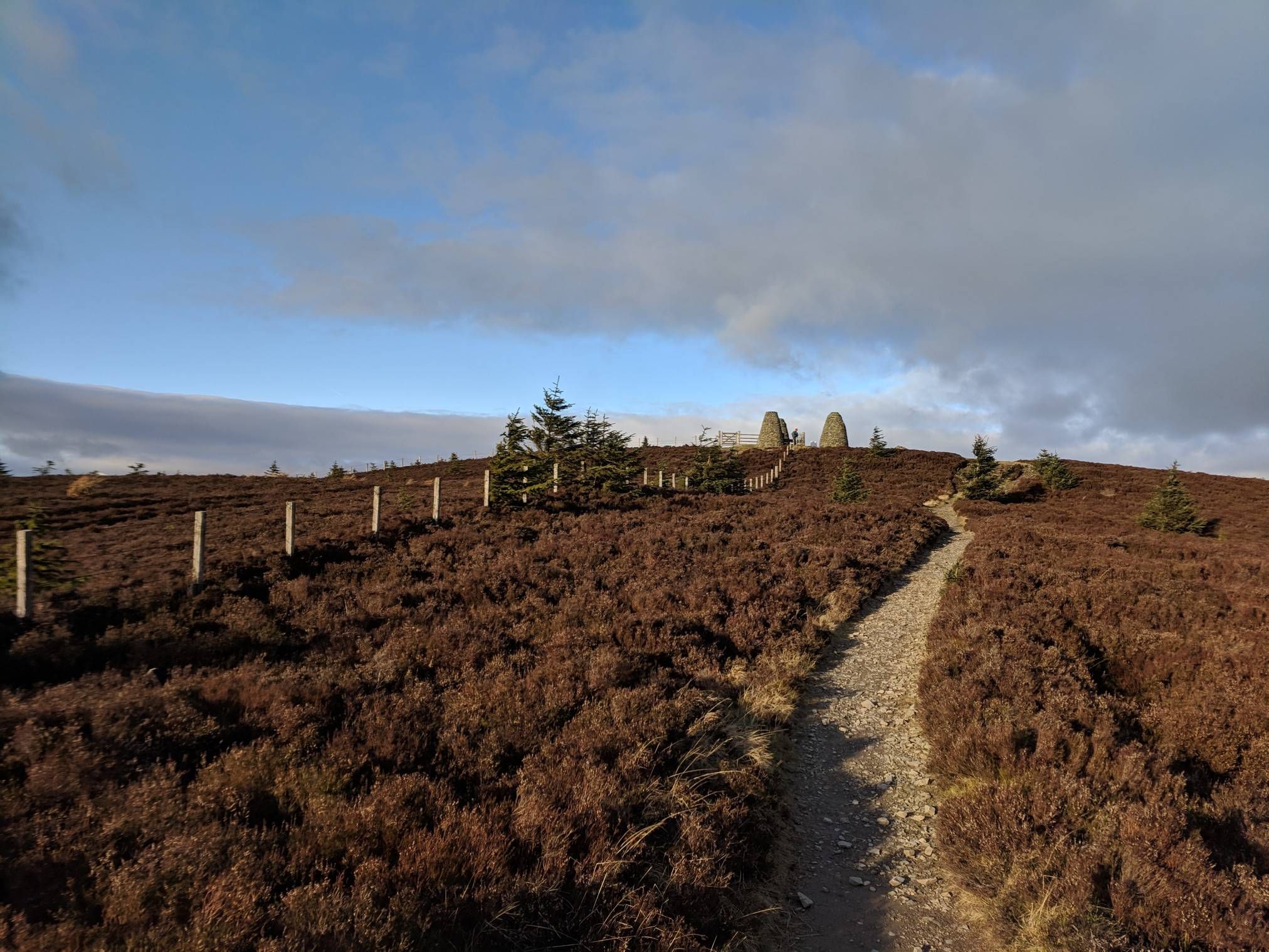
Bus station hiking trails around Bonnybridge offer access to a landscape characterized by undulating topography, gentle valleys, and ridges, shaped by the Bonny Water and the Forth & Clyde Canal. The region features a mix of natural habitats including grasslands, meadows, and woodlands. Hikers can explore historical sites such as the Antonine Wall, a UNESCO World Heritage Site, alongside modern engineering marvels like the Falkirk Wheel.
Best bus station hiking trails around Bonnybridge
- The most popular bus station hiking route…
Last updated: May 10, 2026
5.0
(2)
23
hikers
7.31km
01:56
60m
60m
Easy hike. Great for any fitness level. Easily-accessible paths. Suitable for all skill levels.
5.0
(2)
18
hikers
10.3km
02:43
100m
100m
Moderate hike. Good fitness required. Easily-accessible paths. Suitable for all skill levels.

Sign up for free
4.2
(9)
42
hikers
4.14km
01:07
50m
50m
Easy hike. Great for any fitness level. Easily-accessible paths. Suitable for all skill levels.
5.0
(1)
26
hikers
6.55km
01:46
90m
90m
Easy hike. Great for any fitness level. Easily-accessible paths. Suitable for all skill levels.
16
hikers
3.53km
00:54
10m
10m
Easy hike. Great for any fitness level. Easily-accessible paths. Suitable for all skill levels.
Get access to more routes and recommendations from other explorers.
Sign up for free
Already have an account?
Our route recommendations are based on thousands of hikes, rides, and runs completed by other people on komoot.
Start today with a free account
Your next adventure awaits.
Login or Signup
Popular around Bonnybridge
Other adventures around Bonnybridge

Tips from the Community

Along the path connecting the Union and Forth & Clyde Canals in Falkirk, there are several tile-designed benches that invite not only sitting but also taking a closer look. The project was a collaborative effort: Together with Scottish Canals, many local groups collaborated on this creative idea. The canal landscape was mapped and visualized, and the goal was to express how local people experience the environment and their heritage. Drawings and ideas were then transferred onto ceramics. Participating schools and groups were: - Safer Communities Youth Action Project - Carmuirs Primary - Easter Carmuirs Primary - Larbert Village Primary - Go Forth and Clyde
2
0

Not only you'll have an interesting view of the Falkirk Wheel from this highlight, you'll also be able to relax on a bench and/or have a look at a map of the surroundings, including various paths and landmarks.
0
0


It is definitely worth it, you can see lots of boats and there is always something going on at the locks.
0
0

What an amazing structure and piece of engineering. It is the only wheel of its kind. Well worth the visit
1
0

Nice views along to the end of the upper canal and beyond.
0
0

Very tasty coffee in delightful surroundings. Definitely worth investigating the trails in more detail.
0
0
Frequently Asked Questions
How many bus station hiking trails are available around Bonnybridge?
There are 12 dedicated hiking routes around Bonnybridge that start directly from bus stations, making it easy to explore the area without a car. These routes range from easy strolls to moderate excursions.
Are there easy hiking trails accessible from bus stops in Bonnybridge?
Yes, many of the bus station accessible routes are considered easy. For instance, the Falkirk Wheel – Falkirk Wheel loop from Camelon is an easy 4 km walk, and the Hiking loop from Camelon is just 3.5 km, offering gentle terrain suitable for beginners or a relaxed outing.
What historical landmarks can I see on bus station hikes near Bonnybridge?
The region is rich in history. Many routes offer glimpses of the Antonine Wall, a UNESCO World Heritage Site. For example, the moderate Antonine Wall Earthworks – Falkirk Wheel loop from Bonnybridge takes you past sections of this ancient Roman frontier. You can also explore the remains of Croy Hill Roman Fort, which offers historical insights and panoramic views.
Are there any circular walks starting from bus stations in the Bonnybridge area?
Yes, several routes are circular, allowing you to return to your starting point without retracing your steps. The Falkirk Wheel Aqueduct – Falkirk Wheel loop from Larbert is a great example, offering a scenic loop that incorporates the impressive Falkirk Wheel.
What are some notable attractions along the bus station hiking trails?
Hikers can enjoy a variety of attractions. The iconic Falkirk Wheel, a rotating boat lift, is a highlight on several routes. You might also encounter the impressive Kelpies sculptures, or explore the historic grounds of Callendar House and its park, which also contains a section of the Antonine Wall.
What kind of terrain can I expect on hikes around Bonnybridge?
The Bonnybridge area features an undulating topography with a mix of natural habitats. You'll find gentle valleys, ridges, grasslands, meadows, and woodlands. Many routes follow accessible canal towpaths, such as those along the Forth & Clyde Canal, offering relatively flat and scenic walking. Other trails might involve slight inclines and varied surfaces through natural reserves like Bonnyfield Local Nature Reserve.
What do other hikers enjoy most about the trails around Bonnybridge?
The trails around Bonnybridge are highly regarded by the komoot community, with an average rating of 4.6 stars from 382 reviews. Hikers often praise the unique blend of historical sites like the Antonine Wall with modern engineering marvels such as the Falkirk Wheel, all set within diverse and accessible natural landscapes.
Are there any routes that combine historical sites with engineering feats?
Absolutely. The Antonine Wall Earthworks – Falkirk Wheel loop from Bonnybridge is a prime example, allowing you to experience both ancient Roman history and the marvel of the Falkirk Wheel within a single moderate hike.
Can I find routes that pass by bodies of water?
Yes, the region is characterized by its waterways. Many trails follow the Forth & Clyde Canal, offering pleasant walks alongside the water. While direct access to wild swimming spots isn't a primary feature of these bus station routes, you can find scenic views of various lochs and reservoirs in the wider area, such as Fannyside Lochs or Carron Valley Reservoir, which are accessible via other routes or short detours.
What is the best time of year to hike around Bonnybridge?
Bonnybridge offers enjoyable hiking experiences throughout the year. Spring and autumn provide pleasant temperatures and beautiful scenery with changing foliage. Summer is ideal for longer days and exploring the canal paths. Even in winter, many of the lower-lying paths and canal towpaths remain accessible, though appropriate gear for potentially wet or icy conditions is always recommended.
Are there any routes that offer good viewpoints?
Yes, the undulating landscape provides several opportunities for scenic views. From the summit of Croy Hill Roman Fort, for instance, hikers can enjoy expansive views over the Kilsyth Hills to the north, the Firth of Forth, and the Fife hills to the east. Many canal-side walks also offer open vistas of the surrounding countryside.
Most popular attractions around Bonnybridge

Get inspired with the komoot mobile app


Explore more
Browse the best Hikes in other regions.
