The best traffic-free bike rides in Otterwald
4.5
(4142)
22,537
riders
821
rides
No traffic touring cycling routes in Otterwald traverse a region characterized by extensive woodlands and varied topography. The area forms a natural boundary between the Roth and Günz valleys, featuring an average elevation of 625 meters. Glacial activity has shaped the landscape, resulting in distinct western hills and deep valleys. This diverse terrain provides a range of routes for touring cyclists.
Best no traffic touring cycling routes in Otterwald
- The most popular no traffic touring cycling route is Einlass (Entrance…
Last updated: October 9, 2026
4.2
(21)
122
riders
33.7km
01:58
110m
110m
Easy bike ride. Great for any fitness level. Mostly paved surfaces. Suitable for all skill levels.
4.6
(9)
78
riders
17.2km
00:59
50m
50m
Easy bike ride. Great for any fitness level. Mostly paved surfaces. Suitable for all skill levels.

53
riders
10.3km
00:40
60m
60m
Easy bike ride. Great for any fitness level. Mostly paved surfaces. Suitable for all skill levels.
23
riders
6.27km
00:22
20m
20m
Easy bike ride. Great for any fitness level. Mostly paved surfaces. Suitable for all skill levels.
3.3
(3)
13
riders
26.1km
01:32
140m
140m
Easy bike ride. Great for any fitness level. Mostly paved surfaces. Suitable for all skill levels.
Get access to more routes and recommendations from other explorers.
Already have an account?
Our route recommendations are based on thousands of hikes, rides, and runs completed by other people on komoot.
Tips from the Community

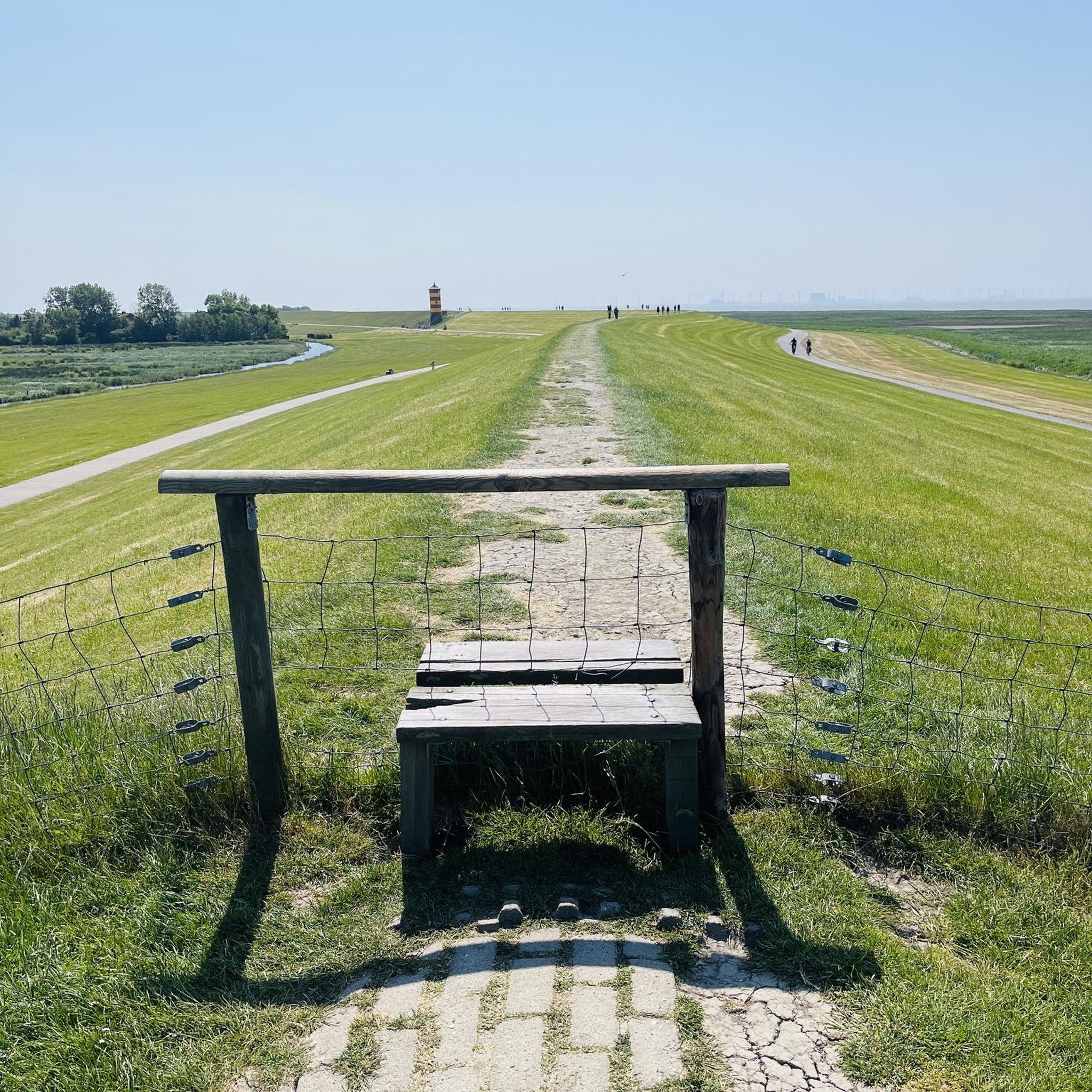
At the marked location, a road and a cycle path lead from Amendingen to Eisenberg.
0
0

Cycle path between the fields
1
0


The tour is designed so that you consciously experience the landscape and character of the region – not just rack up kilometers. This Komoot tour is worthwhile because it provides you with a well-thought-out route where real highlights serve as landmarks and experiences – offering more than just training.
0
0

The first evidence of settlement dates back to the Stone Age, as demonstrated by finds along the Iller River near Ferthofen. Records only reappear in the 4th century, as the Augsburg library was destroyed several times, resulting in the loss of documents. Mammingin was first mentioned in 1128. The city walls, towers, and gates were last expanded in 1445.
0
0

The town hall, built in 1488, is one of the many historic buildings in Memmingen.
0
0
The Ulm Gate is one of several preserved city gates of Memmingen's medieval city fortifications.
0
0
Normally, there's a sign saying "Cyclists allowed"—it's great that this time it says "Car drivers allowed." The right priorities are being set here.
1
0
Frequently Asked Questions
How many no-traffic touring cycling routes are available in Otterwald?
Otterwald offers a wide selection of peaceful routes. There are over 800 no-traffic touring cycling routes available, ensuring plenty of options for cyclists looking to avoid busy roads.
What kind of terrain can I expect on no-traffic touring cycling routes in Otterwald?
The Otterwald region features diverse landscapes, from expansive woodlands to hilly terrain. You can expect routes with varied elevation profiles, including both gentle stretches and some significant ascents and descents, particularly in the western hills from Niederrieden to Boos. Many routes are mostly paved, offering a smooth touring experience.
Are there any easy no-traffic touring cycling routes suitable for beginners in Otterwald?
Yes, Otterwald has numerous easy routes perfect for beginners or those seeking a relaxed ride. For example, the Bench on Kapitänstraße – Lamm Inn loop from Boos is an easy 17.1 km route with minimal elevation gain. Overall, there are over 380 easy routes to choose from.
What are some interesting sights or landmarks along the no-traffic cycling routes?
Along your rides, you can discover several points of interest. Consider exploring the Unterhart Forest Road for shady sections, or the area around Eisenburg Castle, which offers scenic, less steep routes with good asphalt. The Behringer Monument is another notable landmark.
Are there any loop routes for no-traffic touring cycling in Otterwald?
Yes, many of the no-traffic routes in Otterwald are designed as loops, allowing you to start and end at the same point. An example is the Einlass (Entrance Gate) – Memmingen Market Square loop from Boos, which is a 30.6 km easy route.
What is the best time of year to go no-traffic touring cycling in Otterwald?
The Otterwald region is enjoyable for cycling throughout the warmer months. Spring and autumn offer pleasant temperatures and beautiful scenery. Summer can also be ideal, especially on routes with shady sections like parts of the Unterhart Forest Road, providing relief on warmer days.
Are the no-traffic touring cycling routes in Otterwald suitable for families?
Many of the easy and moderate no-traffic routes are well-suited for families. The generally quiet nature of these paths, combined with mostly paved surfaces, makes them a safe and enjoyable option for cyclists of all ages. Look for routes marked as 'easy' for the most family-friendly experiences.
What do other touring cyclists enjoy most about the no-traffic routes in Otterwald?
The komoot community highly rates the touring cycling experience in Otterwald, with an average score of 4.5 stars. Reviewers often praise the peacefulness of the routes, the beautiful forest scenery, and the well-maintained paths that allow for enjoyable rides away from traffic.
Are there any specific routes that offer a good balance of distance and manageable elevation?
For a route with a good balance, consider the Memmingen Market Square – Memmingen Old Town loop from Boos. This easy 27.5 km route features moderate elevation changes, making it a satisfying ride without being overly strenuous.
What are the options for parking when accessing no-traffic cycling routes in Otterwald?
While specific parking areas for each route are not detailed, the region is generally accessible. Many routes start from towns or villages like Boos or Trunkelsberg, where public parking facilities are typically available. It's advisable to check local parking options near your chosen starting point.
Can I access the no-traffic cycling routes using public transport with my bike?
Public transport options in the region, such as regional trains or buses, may allow bicycle transport, though policies can vary. It's recommended to check with local public transport providers for their specific rules and schedules regarding bike carriage to plan your access to the Otterwald routes.
Are there any routes that offer a quick, scenic ride for a shorter outing?
Yes, for a shorter, scenic ride, the Einlass (Entrance Gate) – Memmingen Old Town loop from Trunkelsberg is an excellent choice. This easy 10.2 km route provides a pleasant experience without requiring a significant time commitment.
Most popular routes in Otterwald
Most popular attractions in Otterwald

Get inspired with the komoot mobile app


Explore more
Browse the best Cycling routes in other regions.
