The best MTB trails around Lierschied
4.6
(2391)
4,871
riders
425
rides
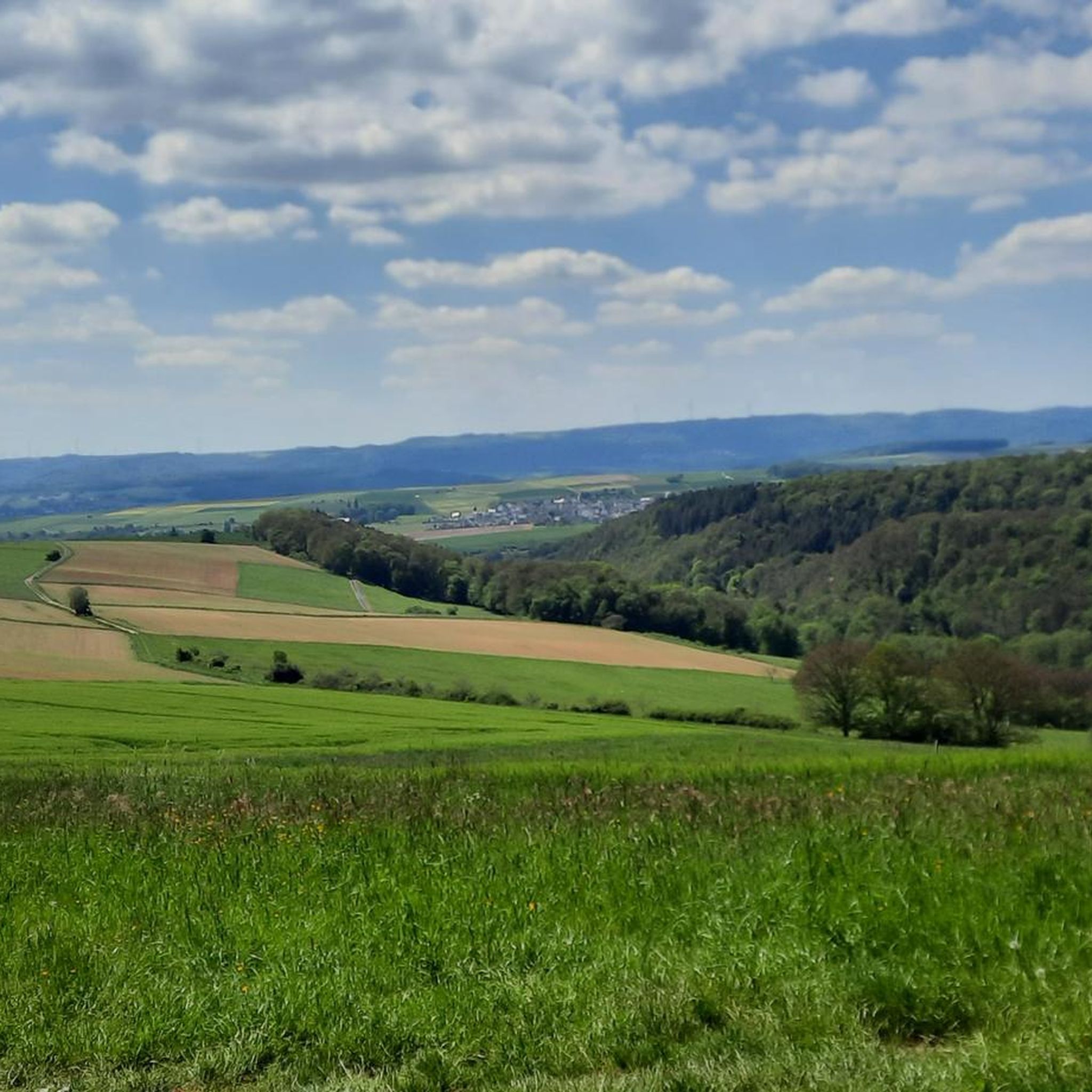
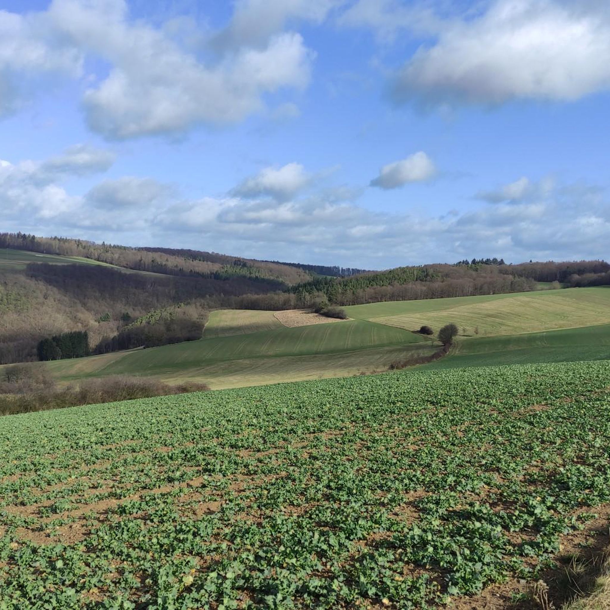
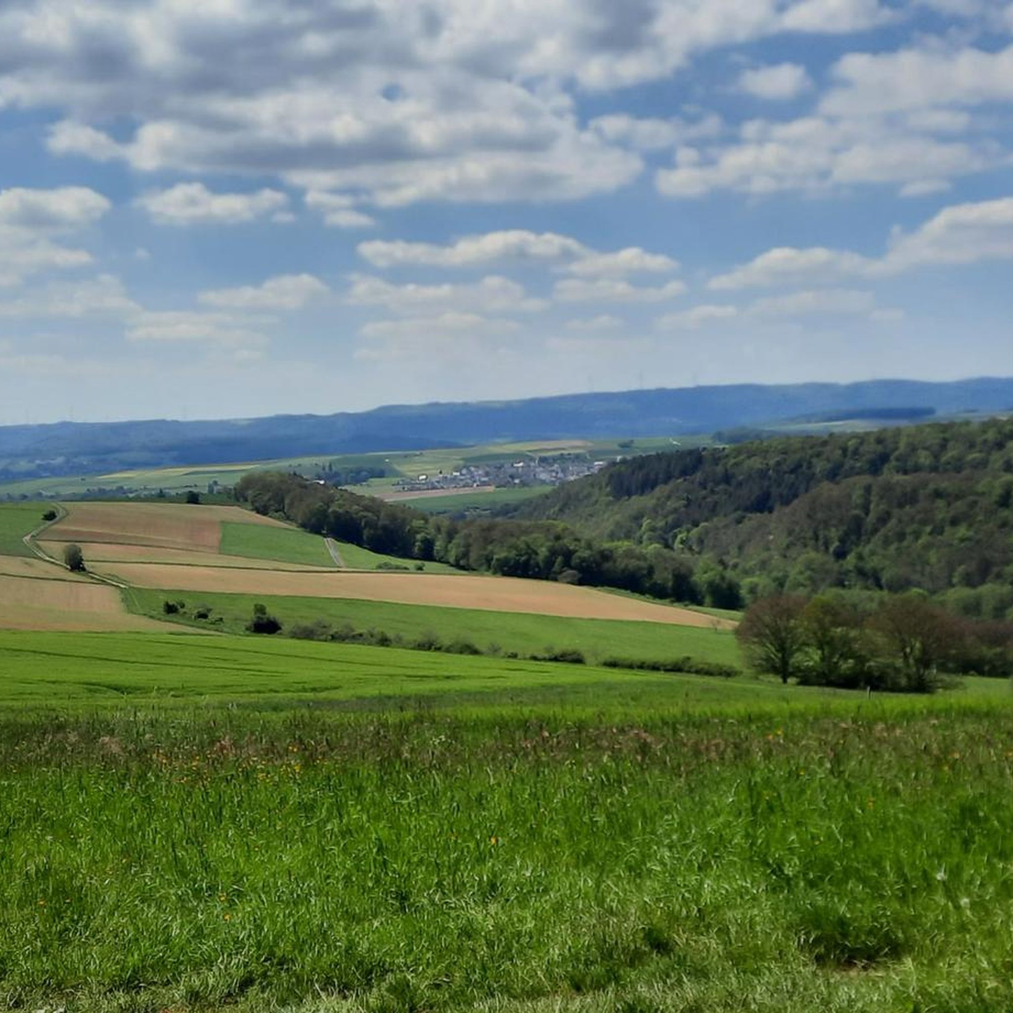
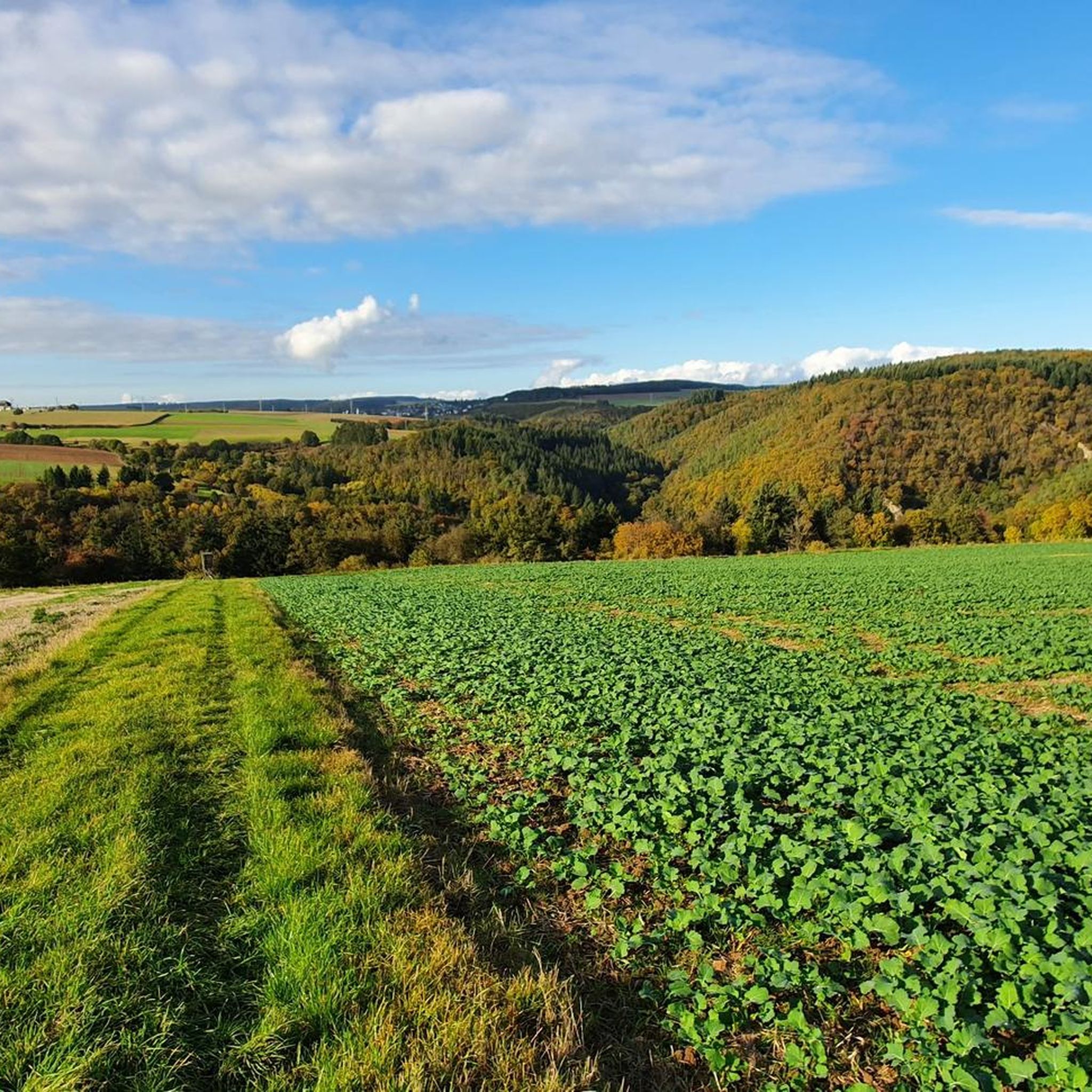
Mountain biking around Lierschied offers diverse landscapes in an elevated position overlooking the Rhine. The region features gentle hills, expansive meadows, tranquil forests, and rugged Rhine slopes, providing varied terrain for mountain bike routes. Lierschied serves as a starting point for exploring the wider "Romantischer Rhein" region, known for its extensive network of forest and meadow paths. These paths lead to notable viewpoints such as Fünftälerblick and Kadrich, offering panoramic vistas.
Best mountain bike trails around Lierschied
- The most popular…
Last updated: August 23, 2026
4.5
(23)
123
riders
32.2km
01:48
210m
210m
Easy mountain bike ride. Great for any fitness level. Suitable for all skill levels.
4.7
(11)
26
riders
37.1km
02:38
550m
550m
Hard mountain bike ride. Good fitness required. Advanced riding skills necessary. Some portions of the route may require you to push your bike.

Sign up for free
4.7
(7)
35
riders
Hard mountain bike ride. Good fitness required. Advanced riding skills necessary. Some portions of the route may require you to push your bike.
4.6
(13)
33
riders
49.3km
04:24
1,150m
1,150m
Hard mountain bike ride. Very good fitness required. Advanced riding skills necessary. Some portions of the route may require you to push your bike.
4.6
(7)
26
riders
Easy mountain bike ride. Great for any fitness level. Suitable for all skill levels.
Get access to more routes and recommendations from other explorers.
Sign up for free
Already have an account?
Our route recommendations are based on thousands of hikes, rides, and runs completed by other people on komoot.
Start today with a free account
Your next adventure awaits.
Login or Signup
Tips from the Community

HISTORY OF THE PILGRIMAGE CHURCH Around the year 1400, a knight named Johannes Brömser von Rüdesheim lived. He had inherited the Sterrenberg Castle above Bornhofen. By now he had built two churches: the parish church of Rüdesheim and the pilgrimage church “Noth Gottes” near Rüdesheim. Now he also began in Bornhofen, at the foot of his newly acquired castle, to build a church by extending the already existing church. He died in 1416. The construction of the church was continued after his death until its completion (1435). Thus the present-day pilgrimage church came into being.
2
0
The name Loreley-Felsen originated from the myths and legends of, among others, Clemens Brentano, who wrote a romantic ballad named Loreley. In a 19th-century legend, it is told that the blonde beauty Loreley enchanted the skippers on the Rhine with her singing from the rock, and therefore, despite the dangerous current, they no longer paid attention to their course and the ships crashed against the rock reefs.
2
0
The Loreley is a slate rock formation and is located in the UNESCO World Heritage site Upper Middle Rhine Valley south of Sankt Goarshausen on the eastern right bank of the Rhine at river kilometer 555. With its height of 132 meters (193.14 m above sea level), it towers high on the inside of the Rhine bend, but also has shallows up to 100 meters in the middle of the river. This makes this section of the river one of the most dangerous on the Rhine.
2
0
The BUGA 2029 will offer its visitors the opportunity to experience the beauties of this unique landscape in a new way. For this purpose, garden landscapes and parks are to be created, each with its own character and its own story to present. The program will be complemented by guided tours of historical castles or wine tastings, where guests will be introduced to the history of wine cultivation in the region.
0
0
Located in the beautiful Middle Rhine Valley, very close to the famous Loreley rock, the Rheinfels Castle ruins today attract guests from near and far with their picturesque setting. Previously, the fortress was considered one of the safest and most impregnable castles in Germany.
1
0

Kaub is a beautiful place, there is a lot to discover here
0
0


Schönburg Castle in Oberwesel occupies a special position among the castles of the Middle Rhine: it remained in the possession of the Holy Roman Empire until its destruction. It was likely built in the first half of the 12th century by Count Palatine Hermann von Stahleck. Later, the Archbishops of Trier expanded the defenses of the contiguous group of castles. Among other things, the over 20-meter-high shield wall and the extensive outer baileys were constructed during this period. Despite structural alterations during the 20th century, Schönburg Castle still possesses a considerable amount of original building fabric, with the high shield wall being particularly striking. Today, the grounds house a hotel-restaurant, a Kolping House (a community center), and the Tower Museum. Hikers can reach Schönburg Castle via the Rhine Castles Trail (RheinBurgenWeg).
1
0
Frequently Asked Questions
How many mountain bike trails are there around Lierschied?
Lierschied and the surrounding area offer a wide selection of mountain bike trails. There are over 430 routes available, catering to various skill levels.
What is the overall difficulty level of mountain biking in Lierschied?
The majority of mountain bike trails around Lierschied are classified as moderate, with over 330 such routes. There are also around 60 easy trails for beginners and 38 more challenging routes for experienced riders.
What kind of terrain can I expect on mountain bike trails near Lierschied?
Mountain biking around Lierschied features diverse landscapes. You'll encounter gentle hills, expansive meadows, tranquil forests, and dramatic, rugged Rhine slopes. The region is known for its extensive network of forest and meadow paths.
Are there any scenic viewpoints along the mountain bike trails?
Yes, the area is rich in scenic viewpoints. Many trails lead to panoramic spots such as Fünftälerblick and Kadrich. You can also find routes offering stunning views of the Rhine, including the iconic Loreley Rock. For example, the View of Burg Rheinfels – Loreley Rock loop from St. Goarshausen offers excellent vistas.
What do other mountain bikers say about the trails in Lierschied?
The mountain bike trails in Lierschied are highly rated by the komoot community, with an average score of 4.6 stars from nearly 2,000 reviews. Riders often praise the varied terrain, the beautiful views, and the well-maintained paths that make for an enjoyable experience.
Are there family-friendly mountain bike trails in Lierschied?
Yes, Lierschied offers around 60 easy mountain bike trails that are suitable for families or those looking for a more relaxed ride. These routes typically feature less challenging terrain and elevation changes.
Can I find circular mountain bike routes around Lierschied?
Yes, many of the mountain bike routes in the Lierschied area are designed as loops, allowing you to start and finish at the same point. An example is the View of the Hunsrück – View Over the Countryside loop from UNESCO Welterbe Kulturlandschaft Oberes Mittelrheintal, which offers open views over the countryside.
Are there options for advanced mountain bikers?
For advanced mountain bikers seeking a challenge, there are 38 difficult trails around Lierschied. These routes often feature steeper climbs, technical descents, and longer distances, providing a more demanding experience.
What are some longer mountain bike routes for a full day out?
For a longer ride, consider the View of the Hunsrück – Footpath to Nochern loop from Reichenberg, which covers over 38 kilometers and takes around 3 hours to complete. Another option is the View of Bogel – Large Donkey Farm Bornich loop from St. Goarshausen, a 43.7 km route that typically takes over 3 hours.
What natural features or landmarks can I explore while mountain biking?
Beyond the stunning Rhine views, the region around Lierschied is known for its natural monuments. You can find various lakes, such as Hauserbachsee or Brandsweiher Pond, which can offer refreshing breaks. The Lierschieder Fußgraben is also a popular local spot.
Are there mountain bike trails that offer views of the Rhine?
Absolutely. Lierschied is situated in an elevated position overlooking the Rhine, and many trails capitalize on this. You'll find routes with dramatic Rhine slopes and opportunities to see the river from various perspectives, including views of the Loreley Rock.
What is the best time of year for mountain biking in Lierschied?
The Romantischer Rhein region, including Lierschied, is generally suitable for mountain biking from spring through autumn. The diverse landscapes offer pleasant riding conditions, though specific trail conditions can vary with weather. Always check local forecasts before heading out.
Most popular routes around Lierschied
Most popular attractions around Lierschied

Get inspired with the komoot mobile app


Explore more
Browse the best MTB trails in other regions.
