The best traffic-free bike rides in Forbes State Forest
82
riders
7
rides
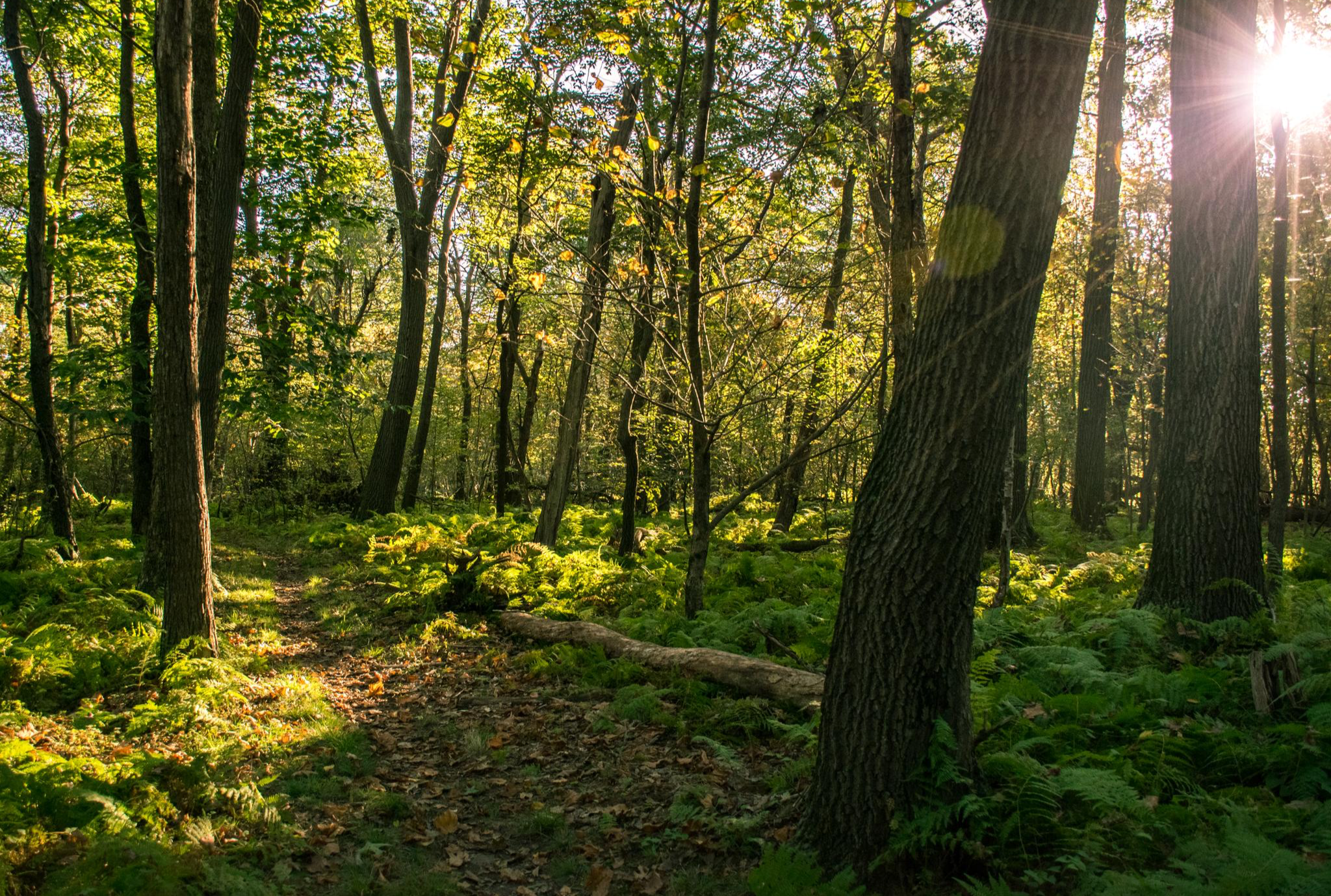
No traffic road cycling routes in Forbes State Forest traverse over 60,000 acres of diverse terrain within Pennsylvania's Laurel Highlands. The region is characterized by undulating forested landscapes, offering a mix of paved and crushed stone surfaces suitable for road cycling. Cyclists can experience challenging climbs and rewarding views, with some routes featuring mostly paved sections. The forest's varied topography includes hills and higher elevations, providing diverse options for road cyclists.
Best no traffic road cycling routes in Forbes State Forest
- The most popular no traffic road cycling route is Quemahoning Reservoir loop from LHHT Route 30 Parking Area, a 44.9 miles (72.2 km) trail that takes 4 hours 10 minutes to complete. This difficult route features significant elevation gain and views of the reservoir.
- Another top favourite among local road cyclists is Gravel Hill loop from Peyton Hill, a moderate 17.6 miles (28.3 km) path. This route offers rolling hills and forested roads, typically completed in about 1 hour 38 minutes.
- Local road cyclists also love the Forbes State Forest loop from Uniontown, a 31.3 miles (50.3 km) trail leading through diverse forested landscapes, often completed in about 2 hours 54 minutes.
- Road cycling in Forbes State Forest is defined by undulating terrain, challenging climbs, and scenic vistas. The network offers options for different ability levels, from moderate rides to difficult ascents.
- The guide includes highly-rated routes that showcase the best of the region's landscape. More than 70 road cyclists have used komoot to explore Forbes State Forest's varied terrain.
Last updated: November 5, 2026
7
riders
72.2km
04:10
980m
980m
Hard road ride. Very good fitness required. Mostly well-paved surfaces and easy to ride.
2
riders
28.3km
01:38
430m
430m
Moderate road ride. Good fitness required. Mostly well-paved surfaces and easy to ride.

3
riders
24.5km
01:18
290m
290m
Easy road ride. Mostly well-paved surfaces and easy to ride.
2
riders
60.1km
03:05
880m
880m
Moderate road ride. Good fitness required. Mostly well-paved surfaces and easy to ride.
2
riders
50.3km
02:55
910m
910m
Hard road ride. Very good fitness required. Mostly well-paved surfaces and easy to ride.
Get access to more routes and recommendations from other explorers.
Already have an account?
Our route recommendations are based on thousands of hikes, rides, and runs completed by other people on komoot.
Start today with a free account
Your next adventure awaits.


Other adventures in Forbes State Forest

Tips from the Community

Forbes State Forest encompasses more than 60,000 acres of land. The forest includes 6 state parks, 3 state forest picnic areas, as well as Mt. Davis, the highest point in Pennsylvania.
0
0
Frequently Asked Questions
What kind of terrain can I expect on no-traffic road cycling routes in Forbes State Forest?
Forbes State Forest offers a mix of terrain for road cyclists seeking traffic-free experiences. While some routes feature mostly paved surfaces, you may also encounter sections of crushed stone or well-maintained gravel roads. Expect undulating terrain with rewarding climbs that provide scenic views of the Laurel Highlands.
How many traffic-free road cycling routes are available in Forbes State Forest?
Our guide features 4 curated traffic-free road cycling routes in Forbes State Forest, ranging from moderate to difficult in intensity. These routes are designed to keep you away from busy roads, allowing for a more peaceful ride.
Are there any easy, traffic-free road cycling routes suitable for beginners?
While many routes in Forbes State Forest involve significant elevation gain, there is one moderate route featured in this guide: the Gravel Hill loop from Peyton Hill. This route covers 28.3 km with 434 meters of elevation gain, offering a good option for those looking for a less strenuous, traffic-free ride. The forest also has sections of the PWS Trail System with asphalt and crushed stone surfaces that are suitable for easier rides.
Can I find challenging, traffic-free road cycling routes for experienced cyclists?
Yes, Forbes State Forest offers several challenging traffic-free road cycling routes. For instance, the Quemahoning Reservoir loop from LHHT Route 30 Parking Area is a difficult 72.2 km route with over 975 meters of elevation gain. Another demanding option is the Confluence – Confluence loop from Confluence, which spans over 80 km with 1372 meters of climbing.
What scenic views or natural features can I expect to see on these routes?
Forbes State Forest is rich in natural beauty. While cycling, you might encounter stunning overlooks like Wolf Rocks, offering expansive views. The forest is also home to unique ecosystems such as Spruce Flats Bog, a rare high-altitude bog. For more details on attractions, you can explore our guide to Natural Monuments in Forbes State Forest.
Are there any waterfalls or unique water features accessible from these no-traffic routes?
Yes, Forbes State Forest features several beautiful water features. You can find waterfalls like Cole Run Falls and Fish Run Falls, and the distinct Blue Hole, a deep roadside swimming spot. Many small, coldwater trout streams also crisscross the forest, adding to the scenic appeal.
Are there circular, traffic-free road cycling routes available?
Yes, several of the routes in this guide are designed as loops, allowing you to start and end at the same point without retracing your path. Examples include the Quemahoning Reservoir loop from LHHT Route 30 Parking Area and the Forbes State Forest loop from Uniontown, providing varied scenery throughout your ride.
What is the best time of year to enjoy traffic-free road cycling in Forbes State Forest?
Spring and fall are generally considered the best seasons for road cycling in Forbes State Forest. Spring brings lush greenery and blooming wildflowers, while fall offers spectacular foliage. Summer can be pleasant, but be mindful of warmer temperatures. Winter cycling is possible, but road conditions may vary due to snow and ice, especially on less-trafficked routes.
Where can I find parking for these no-traffic road cycling routes?
Parking availability varies by route. Many routes start from designated parking areas within or near the forest, such as the LHHT Route 30 Parking Area or locations in towns like Confluence. Always check the specific route details on Komoot for recommended starting points and parking information.
Are there any regulations or permits required for cycling in Forbes State Forest?
Generally, no special permits are required for road cycling on public roads and designated trails within Forbes State Forest. However, it's always a good idea to check the official Pennsylvania DCNR website for any specific regulations or alerts before your visit, especially concerning specific areas or seasonal restrictions. You can find more information on the PA DCNR Forbes State Forest page.
What do other road cyclists enjoy most about traffic-free cycling in Forbes State Forest?
Cyclists often praise the tranquility and natural beauty of Forbes State Forest's no-traffic routes. The opportunity to ride through diverse forested landscapes, experience challenging climbs, and be rewarded with panoramic views of the Laurel Highlands without the distraction of vehicle traffic is a major draw. The varied terrain and the chance to explore unique natural features also contribute to a memorable cycling experience.
Most popular routes in Forbes State Forest
Most popular attractions in Forbes State Forest

Get inspired with the komoot mobile app


Explore more
Browse the best Road cycling routes in other regions.
