The best walks and hikes around Leutwil
4.6
(2193)
12,738
hikers
525
hikes
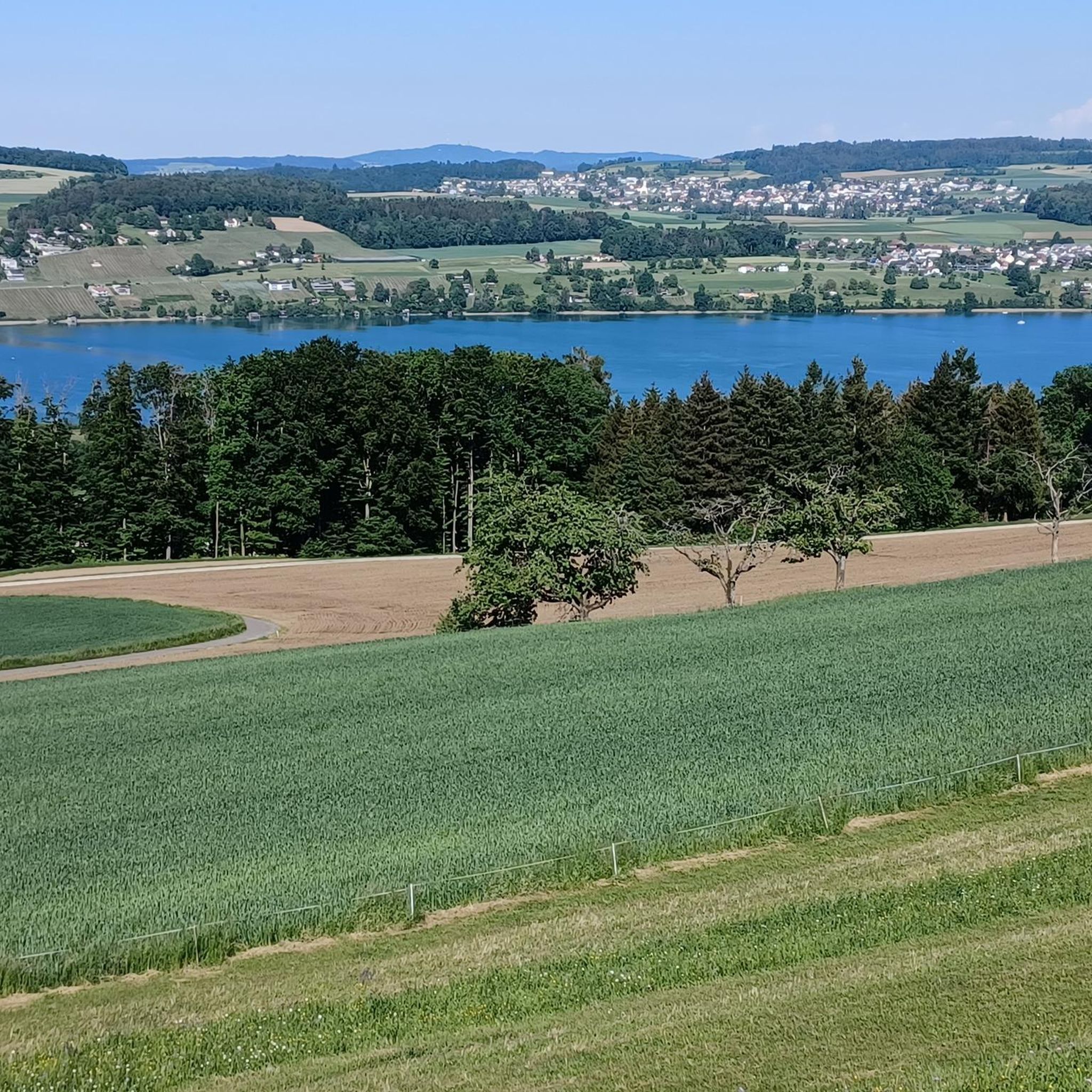
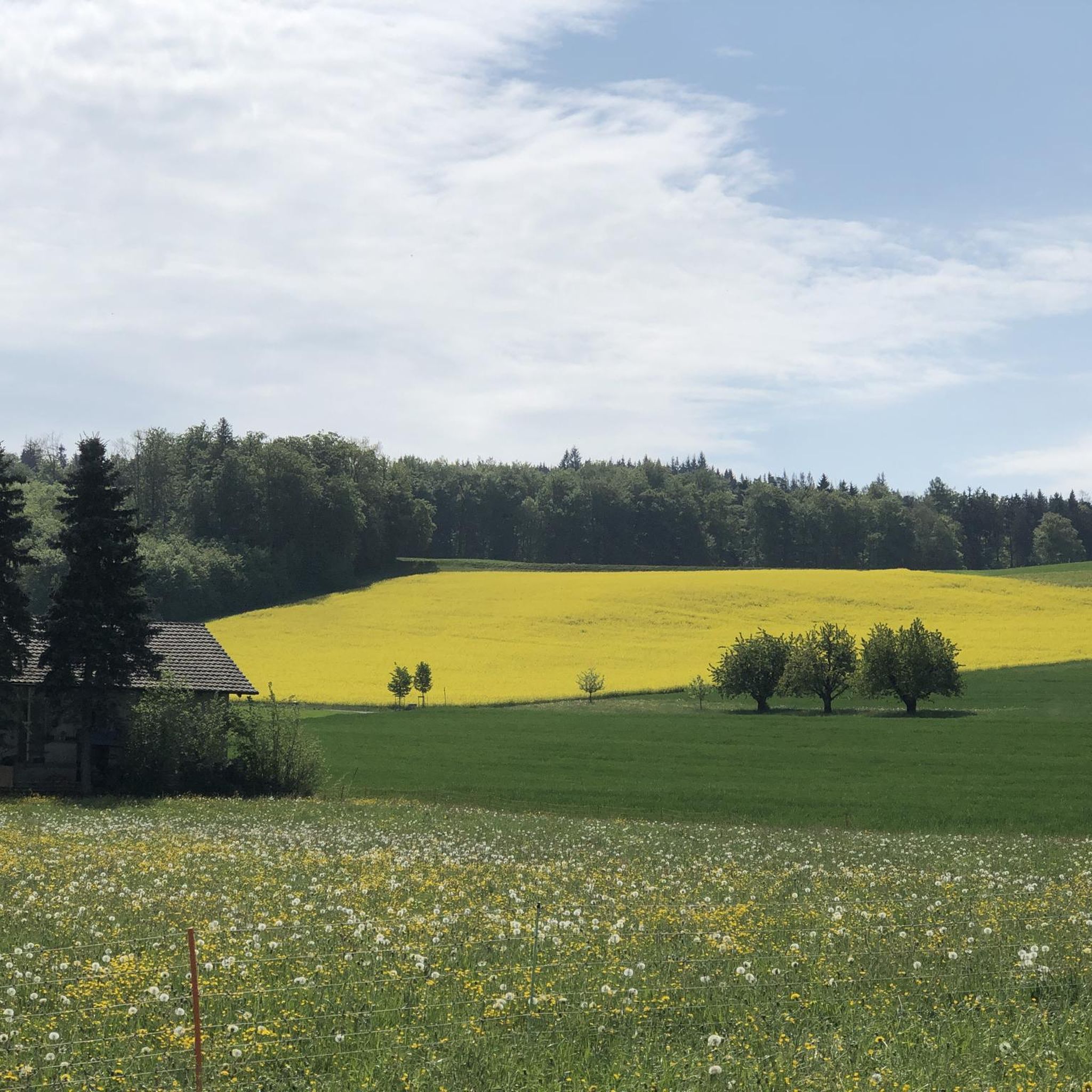
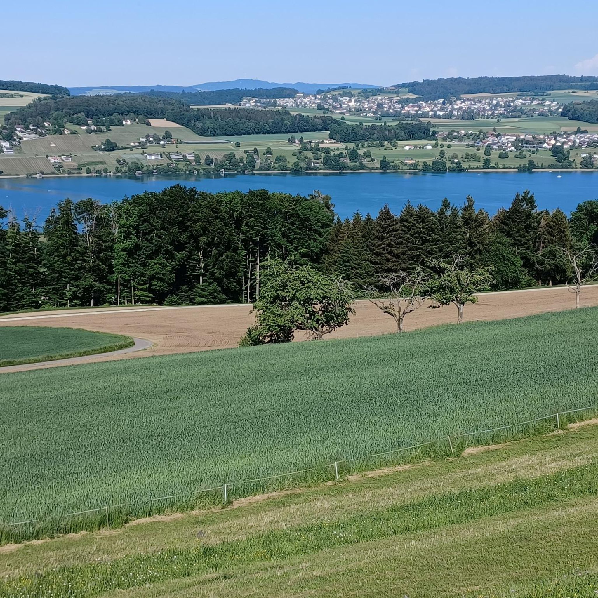
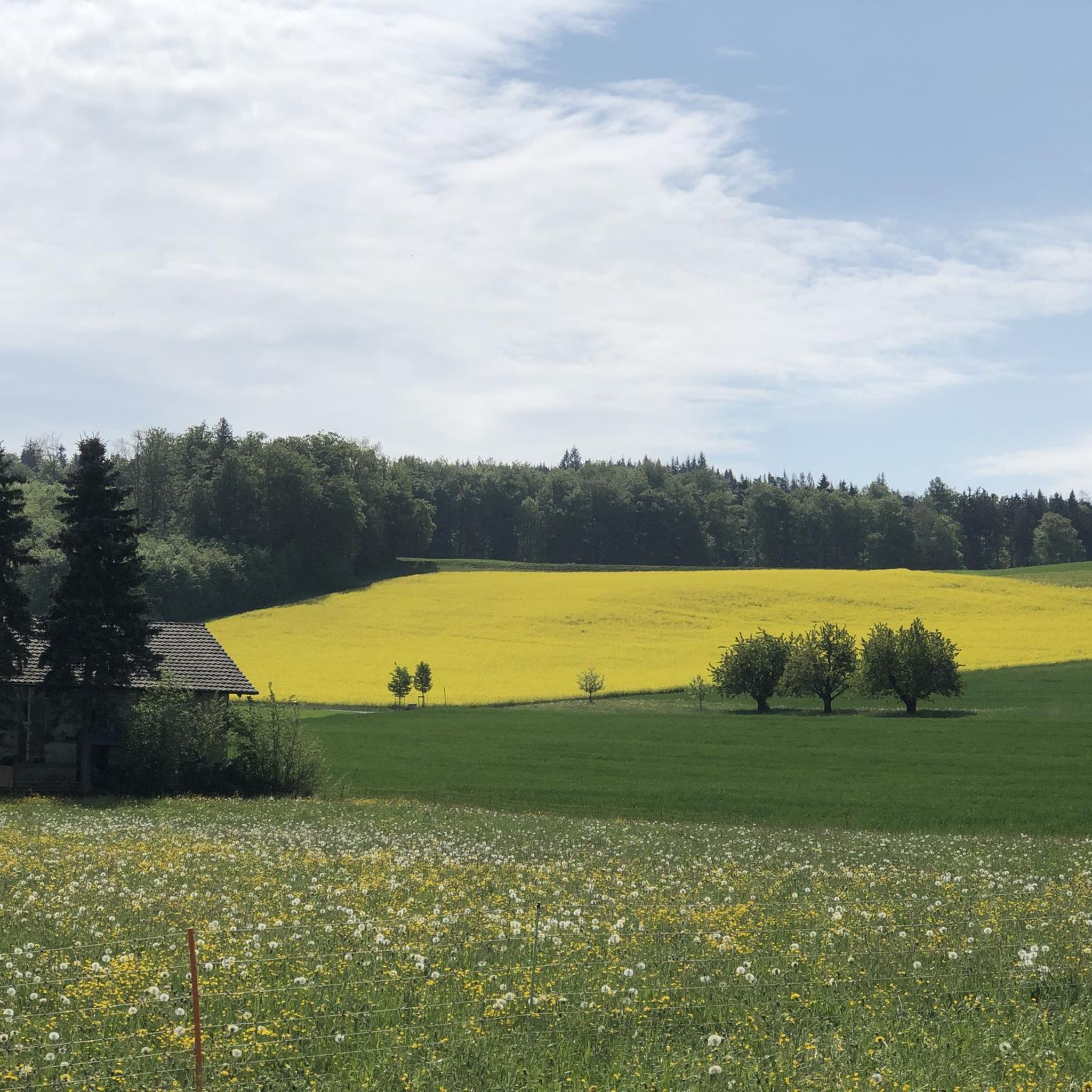
Hiking trails around Leutwil offer diverse landscapes, from tranquil lakeside paths along Hallwilersee to elevated routes on the Lindenberg ridge. The region is characterized by a mix of forests, open meadows, and varied terrain, providing options for different preferences. Well-marked paths lead through natural reserves, showcasing reed zones and diverse flora and fauna.
Best hiking trails around Leutwil
- The most popular hiking route is Mörgel – Lakeside Trail Along Lake Hallwil loop from Boniswil, a 14.2 miles (22.9 km)…
Last updated: October 28, 2026
4.8
(402)
2,004
hikers
Hard hike. Very good fitness required. Easily walkable paths.
4.4
(14)
50
hikers
15.9km
04:33
370m
370m
Moderate hike. Good fitness required. Easily walkable paths.

4.3
(9)
40
hikers
5.77km
01:42
170m
170m
Easy hike. Easily walkable paths.
4.3
(7)
24
hikers
11.5km
03:15
250m
260m
Moderate hike. Good fitness required. Easily walkable paths.
5.0
(2)
15
hikers
4.72km
01:22
120m
120m
Easy hike. Easily walkable paths.
Get access to more routes and recommendations from other explorers.
Already have an account?
Our route recommendations are based on thousands of hikes, rides, and runs completed by other people on komoot.
Start today with a free account
Your next adventure awaits.

Tips from the Community

Very nice restaurant, very delicious food.
0
0

Observe shipping times https://schifffahrt-hallwilersee.ch/_tmc_daten/File/Fahrplan_Sommer.pdf https://schifffahrt-hallwilersee.ch/_tmc_daten/File/Fahrplan_Fruehling_Herbst.pdf https://youtu.be/fMPrtGa7lUM
0
0

Great views of the lake at any time and again and again. The hiking trail runs almost always directly along the lake and therefore photo subjects could not be more beautiful.
1
0

Closed Tuesdays and Wednesdays Link: https://homberg.restaurant/
1
0

Beautiful view - nature observations
0
0

I've driven past him many times and never really noticed him. Theodor Fischer was a writer, painter, and artist. He died here on the Homberg in 1925. https://de.wikipedia.org/wiki/Theodor_Fischer_%28Maler%2C_1872%29?wprov=sfla1 You can find everything known about this man on Wikipedia.
1
0

Beautiful view over the lake, invites you to rest and refresh yourself
1
0

Suddenly after leaving the forest, a memorial plaque for Theodor Fischer appears, unfortunately I haven't seen or heard anything about TF yet😅😢
1
0
Frequently Asked Questions
How many hiking trails are available around Leutwil?
Leutwil offers a wide selection of hiking opportunities, with over 540 routes available. These range from easy strolls to more challenging ascents, ensuring options for all fitness levels.
What types of terrain can I expect on hikes near Leutwil?
The terrain around Leutwil is quite varied. You'll find tranquil lakeside paths along the Hallwilersee, elevated routes on the Lindenberg ridge, and paths winding through forests and open meadows. Many trails are well-marked and traverse natural reserves.
Are there any family-friendly hiking routes in Leutwil?
Yes, Leutwil has many easy routes suitable for families. The paths along the Hallwilersee are generally flat and accessible, perfect for relaxed strolls. Local trails like the 'Bänkliwanderung Leutwil' also offer a mix of village, forest, and meadow paths with numerous resting spots, making them enjoyable for all ages.
Can I bring my dog on the hiking trails around Leutwil?
Many trails around Leutwil are dog-friendly, especially those through forests and open areas. When hiking near the Hallwilersee, be mindful of nature reserves where dogs might need to be on a leash to protect local wildlife. Always ensure your dog is under control and respect local signage.
Are there circular hiking routes available?
Yes, circular routes are a popular option in the Leutwil area. For example, the Gasthof Homberg – Gasthof Hohenberg loop from Bezirk Kulm is an easy 5.8 km circular trail. The entire 22-kilometer path around Hallwilersee is also a notable circular option, offering continuous scenic views.
What are the best viewpoints or scenic spots in the region?
For panoramic views, consider routes that ascend the Lindenberg region. The Homberg Observation Tower – View of Hallwilersee loop from Boniswil offers impressive vistas of the Hallwilersee from the Homberg Observation Tower. The 'Bänkliwanderung Leutwil' also leads to wonderful viewpoints throughout the village and surrounding nature.
What is the best time of year to go hiking in Leutwil?
Leutwil is enjoyable for hiking throughout much of the year. Spring and autumn offer pleasant temperatures and beautiful scenery with blooming flowers or vibrant foliage. Summer is also great, especially for lakeside paths, though some elevated routes might be warmer. Winter hiking is possible, but check trail conditions for snow or ice.
Are there any interesting landmarks or attractions to see along the trails?
Absolutely. The historic Hallwyl Castle, a water castle, is situated near Lake Hallwil and can be a cultural highlight during your hike. You might also encounter natural monuments like The Great Römerstein. Additionally, there are several forest huts and picnic shelters, such as the Zehnderhüsli Picnic Shelter and Seon Forest Hut, perfect for a break.
How can I access hiking trails in Leutwil using public transport?
Leutwil and the surrounding areas, including access points to the Hallwilersee, are generally well-connected by public transport. Many trailheads are accessible via local bus services. For routes around Hallwilersee, you can often start from towns like Boniswil, which have public transport links.
Are there parking facilities available near the trailheads?
Yes, parking is typically available near popular trailheads and in the villages surrounding Leutwil and Hallwilersee. Specific parking information can often be found on local tourism websites or detailed route descriptions.
What do other hikers enjoy most about the trails in Leutwil?
The hiking trails in Leutwil are highly rated by the komoot community, with an average score of 4.6 stars from over 1800 reviews. Hikers often praise the diverse landscapes, from the serene lakeside paths to the panoramic views from elevated points, and the well-maintained, varied terrain.
Are there any easy hiking routes for beginners?
Yes, Leutwil offers numerous easy routes ideal for beginners or those seeking a relaxed walk. The paths directly along the Hallwilersee are largely flat and provide a gentle hiking experience. The Langentannen Forest Hut loop from Leutwil is another easy option, covering 4.9 km in about 1 hour 20 minutes.
Most popular attractions around Leutwil

Get inspired with the komoot mobile app


Explore more
Browse the best Hikes in other regions.
