Top 3 Natural Monuments around Fleurie
Fleurie’s landscape is a beautiful place to explore — something that you can best experience by visiting one of our 3
beautiful natural monuments around Fleurie. To help you find the one for, you can see all the details you need to explore the best natural monuments, and better plan your next outdoor adventure!
Last updated: September 28, 2026
Rémont Mountain
Highlight • Viewpoint
Translated by Google •
Tip by

Mont Brouilly
Highlight • Summit
Translated by Google •
Tip by
Sign up now to discover places like this
Get recommendations on the best single tracks, peaks, & plenty of other exciting outdoor places.
Solutré Rock
Highlight • Natural Monument
The hike to the summit is easy to moderate and very doable for families. It takes about 1 hour for the entire circular route (approx. 4 kilometers round trip).
The elevation gain is around 100 to 140 meters from the official parking lot on well-maintained paths with information boards, although there are many steps.
Showing Translation
Tip by

View of La Roche de Solutré
Highlight • Viewpoint
Translated by Google •
Tip by

Mount Pouilly
Highlight • Summit
Translated by Google •
Tip by

Start today with a free account
Your next adventure awaits.

Tips from the Community

The Rock of Solutré is a world-famous, 493-meter-high limestone rock in the south of the Burgundy region. It is located amidst the picturesque vineyards of the municipality of Solutré-Pouilly. The region is officially designated as a Grand Site de France. The hike to the summit is easy to moderate and very doable for families. It takes about 1 hour for the entire loop (approx. 4 kilometers round trip). The elevation gain is around 100 to 140 meters from the official parking lot on well-maintained paths with information panels, although there are many steps.
1
0
The Rock of Solutré is a world-famous, 493-meter-high limestone cliff in the south of the Burgundy region. It is located amidst the picturesque vineyards of the municipality of Solutré-Pouilly. The region is officially designated as a Grand Site de France. The hike to the summit is easy to moderate and very doable for families. It takes about 1 hour for the entire circular route (approx. 4 kilometers round trip). The elevation gain is around 100 to 140 meters from the official parking lot on well-maintained paths with information boards, although there are many steps.
0
0
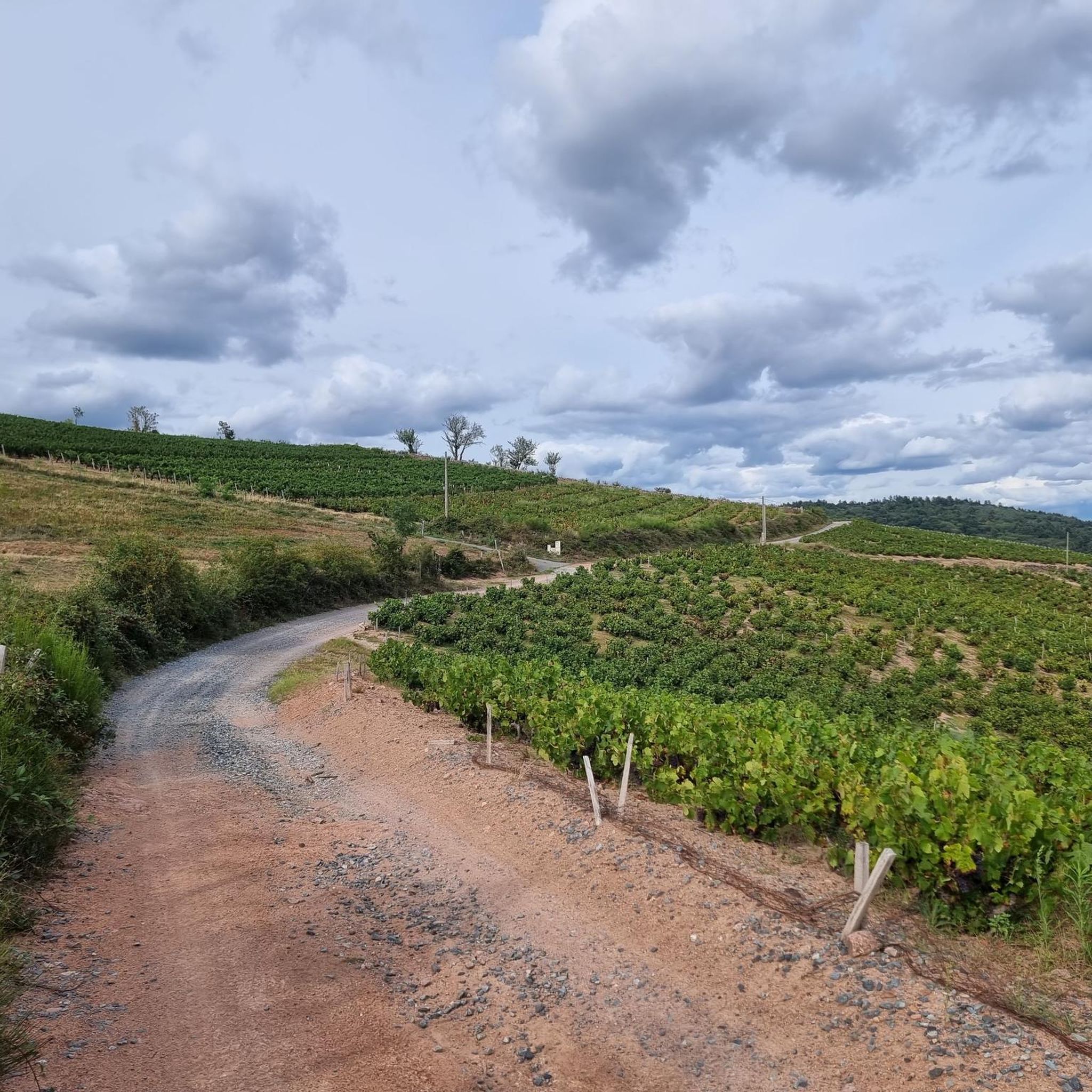
The viewpoint is located in the well-known Beaujolais wine region, in the municipality of Chénas. It is an old stone ruin (historically often referred to as Cabane des Chasseurs or hunter's hut), which has been equipped with a modern metal staircase and a viewing platform. The ruin is located at 515 meters above sea level and offers hikers a spectacular 360-degree panoramic view of the surrounding vineyards and valleys of the region.
2
0

Mont Pouilly 481m above sea level with a magnificent panoramic view
1
0


A limestone escarpment 8 km (5.0 mi) west of Mâcon, France, overlooking the commune of Solutré-Pouilly. The Saône plain extends to the east, with a view of the Mâconnais in the foreground, then the Ain and the Dombes with the Alps and Mont Blanc in the background when visibility is good. It's an iconic site if you're in the area.
1
0

superb race, a little short this time but can be lengthened as desired
1
0

Most popular routes around Fleurie
Most popular attractions around Fleurie

Get inspired with the komoot mobile app


Explore more
Extend your search for the best caves by checking out these guides of the top ones around Fleurie:
